The best mountain hikes around Landkreis Tübingen
4.5
(3)
16
hikers
6
hikes
Mountaineering around Landkreis Tübingen offers diverse terrain on the edge of the Swabian Alb, characterized by rugged beauty, cliffs, and steep rock faces. The region features numerous named mountains, providing elevation gain and varied landscapes for challenging routes. Dense forests and valleys complement the dramatic geological formations, creating a varied environment for outdoor activities.
Best mountaineering routes around Landkreis Tübingen
- The most popular mountaineering route is Hangender Stein Viewpoint – Backofenfelsen Viewpoint loop from Zellerhornwiese, a 7.3 miles (11.8…
Last updated: November 15, 2026
4.0
(1)
2
hikers
Hard mountaineering route. Good fitness required. Sure-footedness, sturdy shoes and alpine experience required.
5.0
(2)
6
hikers
20.7km
06:35
730m
730m
Hard mountaineering route. Very good fitness required. Mostly walkable paths. Sure-footedness required.

Easy mountaineering route. Easily walkable paths.
2
hikers
11.1km
03:34
420m
420m
Moderate mountaineering route. Good fitness required. Mostly walkable paths. Sure-footedness required.
2
hikers
8.28km
02:17
130m
130m
Moderate mountaineering route. Good fitness required. Easily walkable paths.
2
hikers
9.28km
03:01
360m
350m
Moderate mountaineering route. Good fitness required. Mostly walkable paths. Sure-footedness required.
1
hikers
9.37km
02:35
160m
160m
Moderate mountaineering route. Good fitness required. Easily walkable paths.
1
hikers
12.8km
03:35
250m
250m
Moderate mountaineering route. Good fitness required. Easily walkable paths.
Our route recommendations are based on thousands of hikes, rides, and runs completed by other people on komoot.
Start today with a free account
Your next adventure awaits.
Popular around Landkreis Tübingen

Mountain Hikes around Mössingen

Mountain Hikes in Naturpark Schönbuch
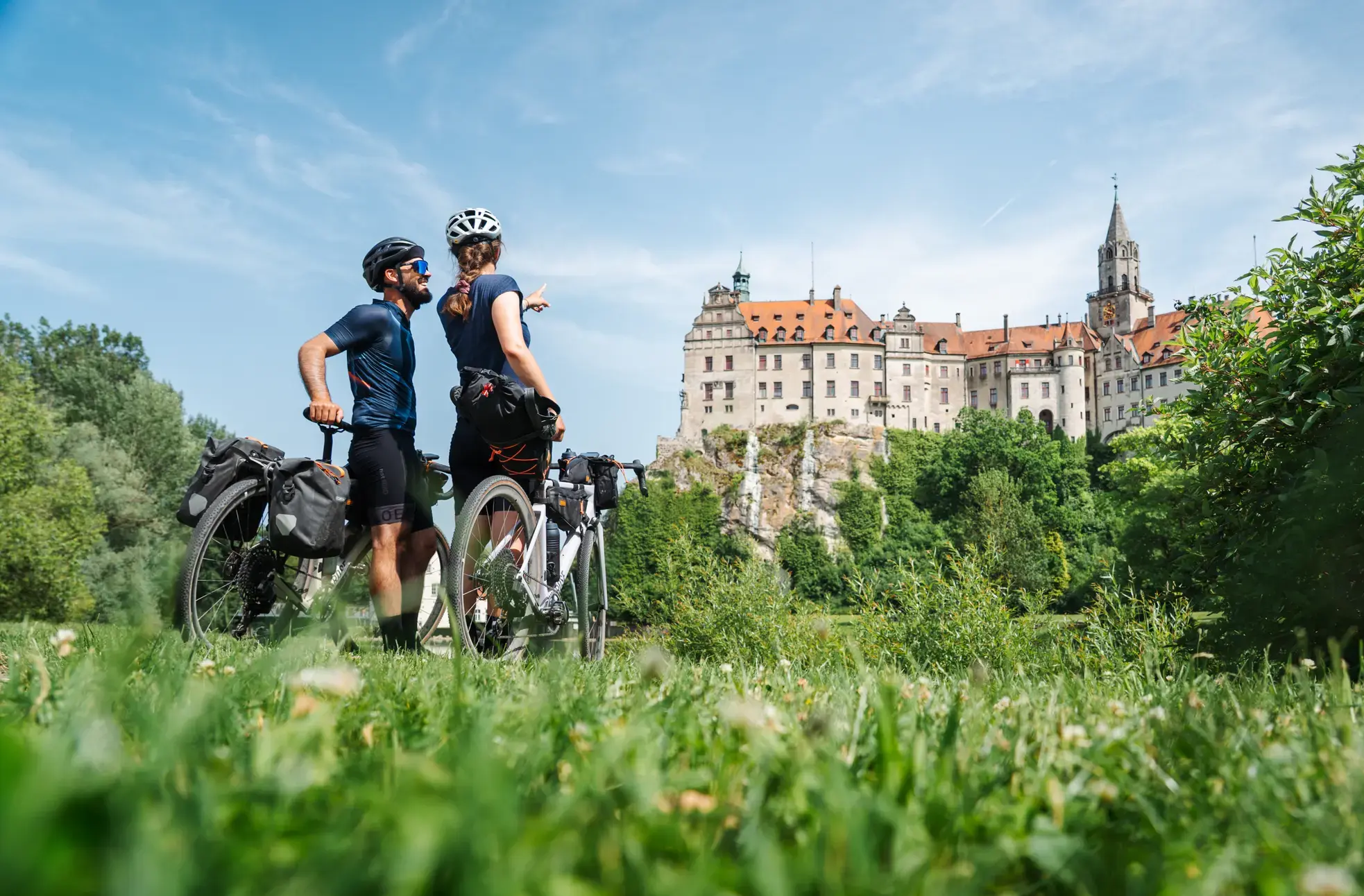
Castles, Alps and Lake Constance – gravel days on the Hohenzollern Cycle Route
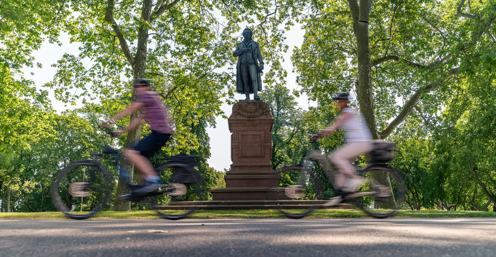
Culture over mileage – cultural Highlights on the Neckar Valley Cycle Path
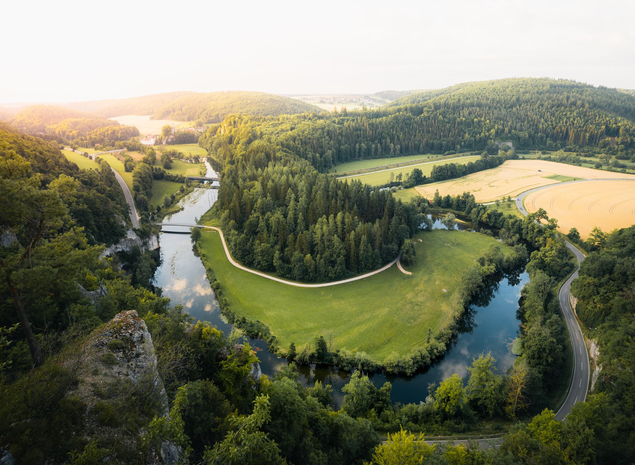
Where valleys tell stories – hiking the rivers of the Swabian Jura
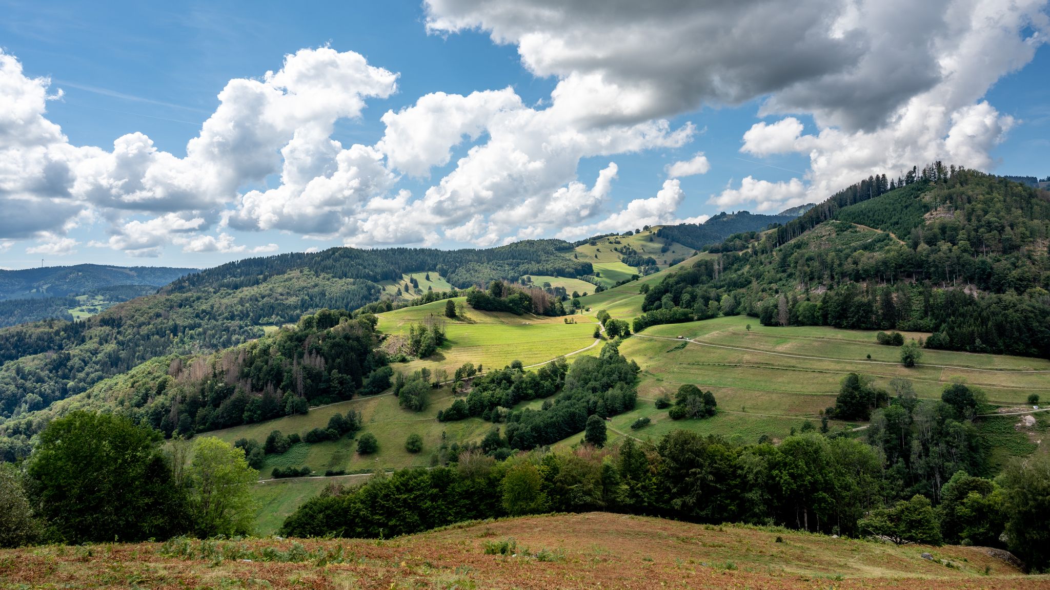
The National Natural Landscapes in Baden-Württemberg
E-bike pleasure rides in the Swabian Alb
Hiking the Süden – between Black Forest, Lake Constance and Swabian Alb
bwegt-Wanderwege – travel in a flexible way, experience more
Feel the power of the water - cycling on the Swabian Alb
Other adventures around Landkreis Tübingen


Tips from the Community

My favorite lake right on my doorstep. Beautiful in every season, with water lilies, ducks and wild geese or frozen over with ice. In the middle of the lake is a small wooded island. The well-placed wooden benches invite you to relax. The back part of the lake is closed off by a natural monument sign "Protected zone for animals and plants".
2
0

The youth forest campsite „Jungviehweide“ near Waldenbuch is located on a large, idyllic clearing about two kilometers southeast of Waldenbuch in the heart of the Schönbuch Nature Park. It was opened in 1974 as the first youth forest campsite in Baden-Württemberg and is managed by ForstBW. The traffic-free forest area is also known by the name „Ponderosa“, where the popular two-week children's holiday camp traditionally takes place during the summer holidays.
7
0

The Wonhalde Spielberg plateau (HW5) is a 118 ha nature reserve, created by centuries of grazing. Individual trees and juniper heaths are also typical here. To prevent overgrowth, the vegetation is kept short by a flock of sheep during the warm months. One kilometer later, you arrive at the Nebelhöhle.
0
0
A wooden house carved from a log, which you almost overlook. Especially due to the now quite abundant moss, this little work of art has its very own character.
6
1

No more goat enclosure on April 11, 2026
0
0
No more goat enclosures, or not there on April 11, 2026
0
0

Kochenmühle means roast beef mill. Widely known. 250g or 350g. Friday and Saturday only. Summer opening hours: Fri. 3:00 PM - 8:00 PM Sat., Sun., and public holidays 11:00 AM - 8:00 PM No card payments No table reservations (beer garden) possible. No draft beer, but a large selection of bottled beers. Dogs are not allowed in the Mühlenstube.
6
0
Flour was produced here until 1925. The old millstones are still there. The mill wheel continued to generate electricity until the war year of 1945, when the mill building and the mill wheel were severely damaged.
11
0
Frequently Asked Questions
How many mountaineering routes are available in Landkreis Tübingen?
There are 7 dedicated mountaineering routes around Landkreis Tübingen listed on komoot, offering a range of experiences for outdoor enthusiasts.
What are the difficulty levels of mountaineering routes in Landkreis Tübingen?
The routes in Landkreis Tübingen primarily range from moderate to difficult. There are 6 moderate routes and 1 difficult route, catering to those with good fitness and sure-footedness.
Are there any particularly challenging mountaineering routes in the region?
Yes, for those seeking a significant challenge, the Wackerstein – Schönberg Tower loop from Pfullingen is classified as difficult. This 13.0-mile (20.9 km) route features substantial elevation gain and varied terrain, including prominent peaks, requiring good physical condition and experience.
What kind of natural features can I expect to see on these routes?
Mountaineering routes in Landkreis Tübingen are characterized by the dramatic cliffs of the Swabian Alb, dense woodlands, and varied mountain terrain. You'll encounter rugged beauty, steep rock faces, and impressive viewpoints along the Albtrauf. Notable features include the Wolf Gorge and the Fairy Lake, Wendelsheim.
Are there any routes that offer particularly scenic views?
Many routes offer stunning vistas. The Hangender Stein Viewpoint – Backofenfelsen Viewpoint loop from Zellerhornwiese is known for its impressive views along the Albtrauf. Additionally, the View from Dreifürstenstein is a highly-rated highlight offering panoramic scenery.
Can I find circular mountaineering routes in Landkreis Tübingen?
Yes, several routes are designed as loops. For instance, the Lichtenstein Castle – View of Lichtenstein Castle loop from Lichtenstein is a popular circular trail that takes you through the scenic Swabian Alb landscape.
What do other mountaineers say about the routes in Landkreis Tübingen?
The mountaineering routes in Landkreis Tübingen are highly rated by the komoot community, with an average score of 4.5 stars from 3 reviews. Users often praise the varied terrain and the dramatic natural beauty of the Swabian Alb.
Are there any historical landmarks or attractions near the mountaineering trails?
Absolutely. The region is rich in history and attractions. You can explore the historic town of Tuebingen or visit the Schloss Hohenentringen Restaurant & Beer Garden, which is located near the Schönbuch Nature Park.
What kind of terrain should I expect on these mountaineering routes?
Expect diverse terrain, ranging from rugged paths along the Albtrauf with cliffs and steep rock faces, to dense woodlands and valleys. Sure-footedness and sturdy shoes are essential, especially on more challenging sections.
Are there any routes suitable for families with older children or those looking for a less strenuous option?
While many routes are moderate to difficult, the Goldersbach valley offers beautiful, flatter routes that are more suitable for families. For a moderate mountaineering experience, the Kochen Mill – Bärensee (Filderstadt) loop from Stetten is a good option, with less elevation gain compared to other routes.
What is the highest peak in Landkreis Tübingen that can be reached by mountaineering routes?
Riedernberg is the highest peak in Landkreis Tübingen. While specific mountaineering routes directly to its summit aren't detailed here, the region's trails often traverse areas with significant elevation gain, offering views of prominent peaks like Farrenberg and Dreifürstenstein.
Most popular routes around Landkreis Tübingen
Most popular attractions around Landkreis Tübingen

Get inspired with the komoot mobile app


Didn’t find what you were looking for?
Check out more Mountain Hikes & Routes throughout Landkreis Tübingen below and find the perfect route in your destination.
Explore more
Browse the best Mountain Hikes & Routes in other regions.
