The best city hikes and walks around Landkreis Tübingen
4.5
(13566)
58,881
hikers
133
hikes
Urban hiking trails around Landkreis Tübingen are characterized by a diverse landscape that blends historic townscapes with natural features. The region is situated at the foothills of the Swabian Alb, offering undulating hills and panoramic views, alongside the scenic river valleys of the Neckar, Ammer, and Steinlach. Extensive forest areas like the Schönbuch and Rammert, as well as cultivated orchards and vineyards, contribute to varied walking environments. This combination provides a range of routes suitable for exploring both urban centers…
Last updated: July 16, 2026
4.8
(77)
375
hikers
Easy hike. Great for any fitness level. Easily-accessible paths. Suitable for all skill levels.
4.6
(21)
84
hikers
7.14km
01:54
70m
80m
Easy hike. Great for any fitness level. Easily-accessible paths. Suitable for all skill levels.

Sign up for free
4.3
(17)
107
hikers
7.84km
02:11
150m
150m
Moderate hike. Good fitness required. Easily-accessible paths. Suitable for all skill levels.
3.2
(17)
118
hikers
Easy hike. Great for any fitness level. Easily-accessible paths. Suitable for all skill levels.
4.4
(9)
108
hikers
5.68km
01:27
20m
20m
Easy hike. Great for any fitness level. Easily-accessible paths. Suitable for all skill levels.
Get access to more routes and recommendations from other explorers.
Sign up for free
Already have an account?
Our route recommendations are based on thousands of hikes, rides, and runs completed by other people on komoot.
Start today with a free account
Your next adventure awaits.
Login or Signup
Popular around Landkreis Tübingen
City hikes in Naturpark Schönbuch
City hikes around Pfaffenberg
City hikes around Schönbuch-Westhang/Ammerbuch
City hikes around Rammert

City hikes around Mössingen
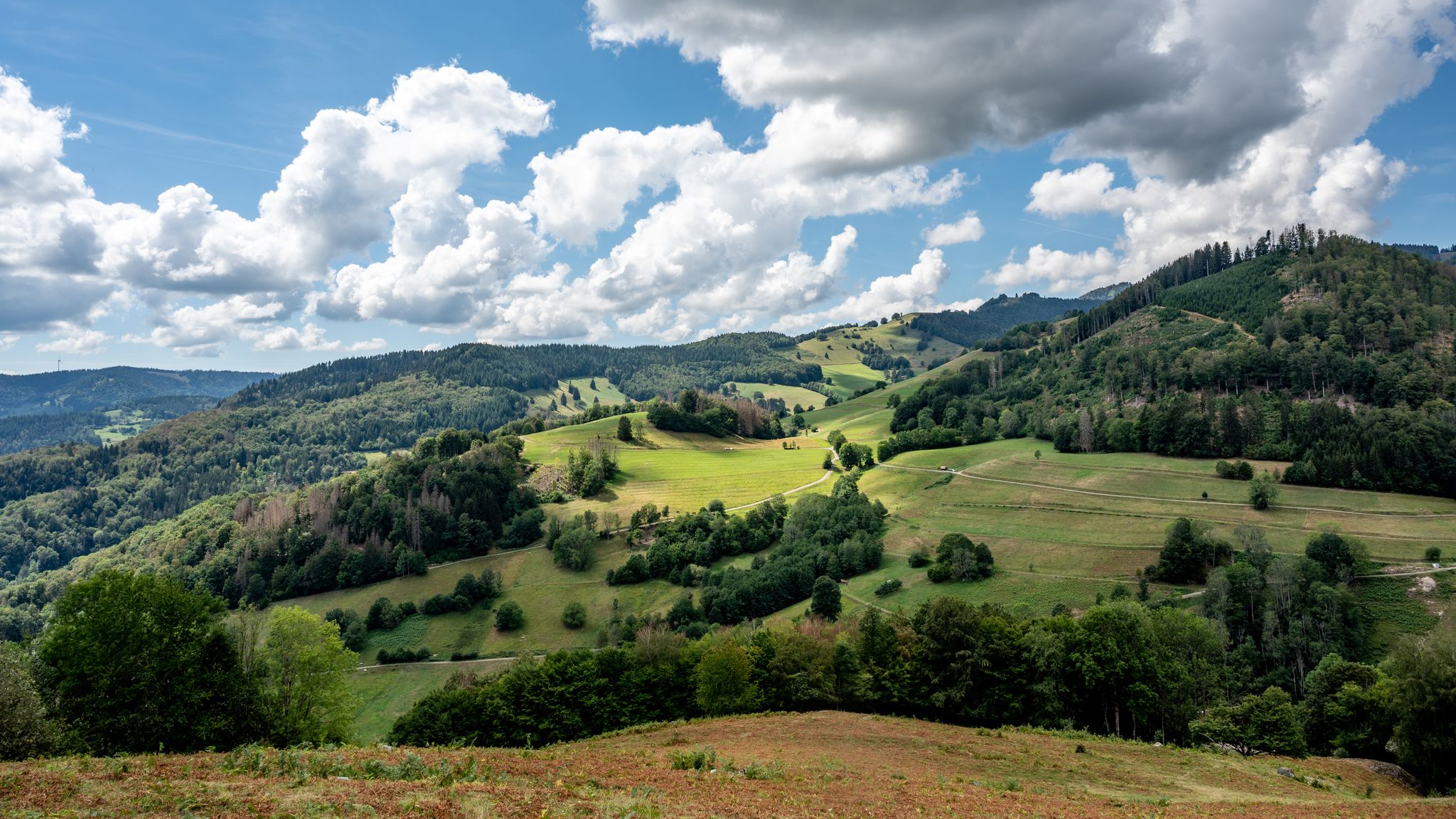
The National Natural Landscapes in Baden-Württemberg
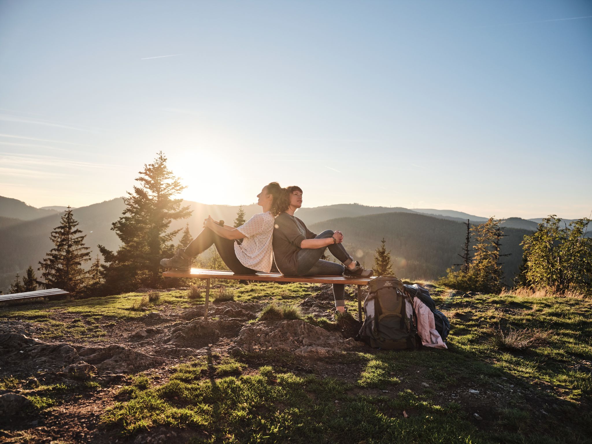
Hiking the Süden – between Black Forest, Lake Constance and Swabian Alb
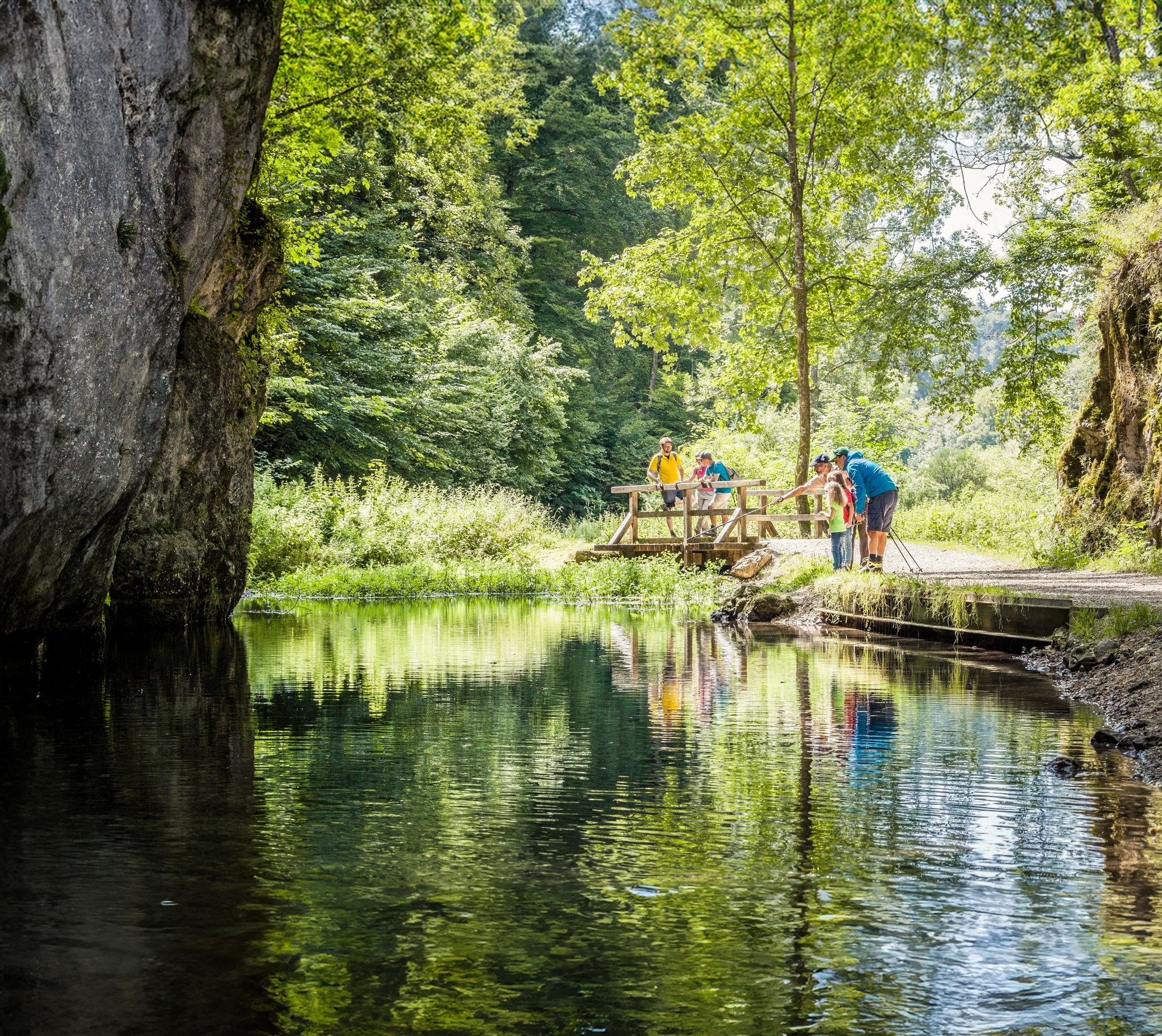
Waterside trails – refreshing hikes on the Swabian Alb
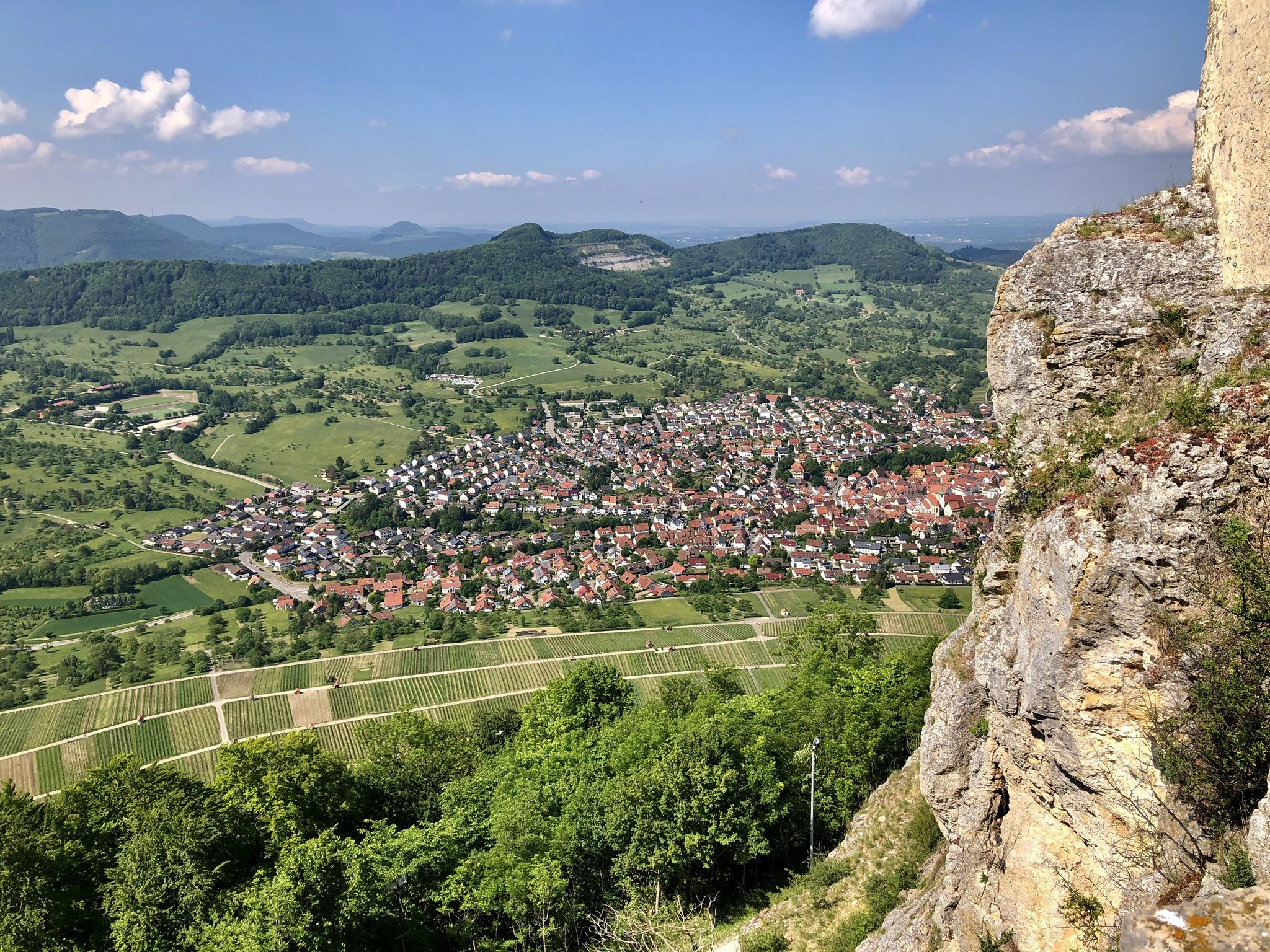
Panoramic hikes on Albtrauf
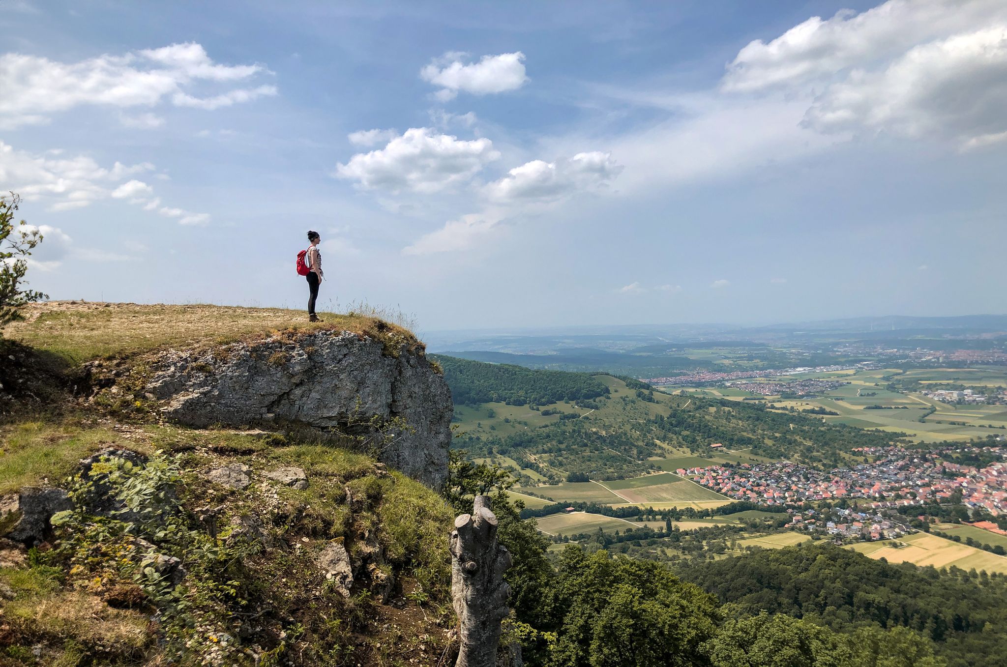
Hike Germany’s low mountains – far-reaching views in the Swabian Alb
Other adventures around Landkreis Tübingen


Tips from the Community

I recommend a round trip by pedal boat
1
0
Tübingen and Neckar belong together
1
0

The Ammerkanal was already created in the Middle Ages. It has branched off the Ammer far before the city since 1493 and formerly powered the copper hammer and the grinding mill, powder mill, and barley mill before reaching the old town at the Haagtor. It crosses the Untere Stadt (lower town) in a west-east direction and branches off at the market near the Nonnenhaus behind the city wall passage: on the one hand into the underground section under the Mühlstraße downhill to the Neckar near the Neckar bridge, on the other hand continuing straight ahead under the 'Museum' building and through Wilhelmstraße to the Ammer. At the Haagtor, the Kleine Ämmerle branched off, which irrigated the northern Untere Stadt; it still existed until the early 20th century. - The Ammerkanal is over 4 km long from its beginning at the Ammerhof and has a drop of 20 m, which occurs predominantly in the last section under the Mühlstraße. The current course of the canal west of the old town was not the first. As early as 1175, there was a canal that separated from the Ammer only at Schwärzloch and then ran quite straight towards the Haagtor. The course through the old town already corresponded almost exactly to the present one. However, until about 1450, it did not flow underground under the present Mühlstraße to and into the Neckar, but turned back at the Lustnauer Tor, following the present Wilhelmstraße, to the Ammer, so that its water, together with the Ammer stream, flowed around the Österberg near Lustnau into the Neckar. This last section from the Lustnauer Tor is now used as an overflow and diversion of the canal's Mühlstraße tunnel. Source: https://www.tuepedia.de/wiki/Ammerkanal
1
0

You won't find any traditional hiking trails here, but this route is highly recommended as an accessible hike and is also suitable for strollers. You'll encounter various groups of people, such as joggers, cyclists, dog walkers, and strollers. A green strip runs alongside the Steinlach River, between the river and the road. In good weather, this strip is often used by students for picnics or sunbathing. You can observe mallards and other birds along the river. Currently, snowdrops are blooming in the green strip, planted in large clumps. There are several bridges along the route to cross to the other side, making it possible to hike this section as a loop. The Steinlach flows into the Neckar River in Tübingen.
0
0
Kalleehöhe is located in Tübingen, just under 50 meters south of the Vordere Halde cell phone tower on Steigweg, on Galgenberg hill. It can be reached on foot via an asphalted farm track from the Bergfriedhof cemetery parking lot or via the less steep but longer Steigweg trail. Kalleehöhe is named after General Eduard von Kallee. This now heavily wooded viewpoint was established in the early 20th century on the southern slope of Galgenberg hill, below the Bergfriedhof cemetery on Galgenbergstraße, in his memory. It is a public viewpoint and cultural landscape with orchards and some dry stone walls. Kalleehöhe was the founding site of the Tübingen Wingolf fraternity in 1864. A memorial stone bearing the dates 1864–1989 commemorates this event. The Tübingen Wingolf is a non-dueling Christian student fraternity that rejects academic fencing and dueling. Kalleehöhe is a public viewpoint and cultural landscape with orchards and some dry stone walls. Source: https://de.wikipedia.org/wiki/Kalleeh%C3%B6he
0
0
Graffiti art - Along the Steinlach cycle path - Tübingen-Derendingen - Tübingen district
1
0
Beautiful view of the Neckar River 🌊 - Tübingen on the Neckar
0
0
Beautiful plane tree avenue 🌳🌳 on the Neckar Island - Tübingen Just stroll along and enjoy 😊
0
0
Frequently Asked Questions
How many urban hiking trails are available in Landkreis Tübingen?
Landkreis Tübingen offers a wide selection of urban hiking trails, with over 100 routes available to explore. These range from easy strolls through city parks to more moderate paths that venture into the surrounding natural areas.
What makes urban hiking in Landkreis Tübingen unique?
Urban hiking in Landkreis Tübingen offers a unique blend of historical cityscapes and accessible natural beauty. You can explore charming old towns like Tübingen, walk along scenic river valleys such as the Neckar, Ammer, and Steinlach, and quickly reach the foothills of the Swabian Alb or the extensive forests of the Nature Park Schönbuch. The region is characterized by its diverse landscapes, including orchards, vineyards, and panoramic viewpoints.
What is the best time of year for urban hikes in Landkreis Tübingen?
The spring and autumn months are particularly ideal for urban hiking in Landkreis Tübingen. During spring, the orchards and meadows are in bloom, while autumn offers vibrant foliage and pleasant temperatures. However, many trails are enjoyable year-round, with winter walks providing a different, serene perspective.
What do other hikers say about urban trails in Landkreis Tübingen?
The komoot community highly rates the urban trails in Landkreis Tübingen, with an average score of 4.5 stars from over 12,000 ratings. Hikers often praise the well-maintained paths, the beautiful mix of cultural sights and natural landscapes, and the accessibility of many routes directly from urban centers.
Are there easy urban hikes suitable for beginners or families?
Yes, a significant number of urban hikes in Landkreis Tübingen are classified as easy, making them perfect for beginners or families. For example, the Tübingen Town Hall – Tübingen Market Square loop from Lustnau is an easy option, offering a pleasant walk through the city without significant elevation changes.
Are there circular urban hiking routes in the region?
Many urban hiking routes in Landkreis Tübingen are designed as circular paths, allowing you to start and end your journey at the same point. This is convenient for those using public transport or parking a car. An example is the Hölderlin Tower, Tübingen – Tübingen Market Square loop from Tübingen, which provides a great city experience.
Can I reach urban hiking trails by public transport?
Yes, many urban hiking trails in Landkreis Tübingen are easily accessible by public transport, especially those starting directly from towns like Tübingen. The central train station (Tübingen Hbf) serves as a convenient starting point for several routes, such as the Bismarck Tower Tübingen – Schwärzlocher Hof loop from Tübingen Hbf.
What kind of natural features can I expect on urban hikes?
Urban hikes in Landkreis Tübingen often feature a delightful mix of natural elements. You can expect to walk alongside the Neckar, Ammer, and Steinlach rivers, explore sections of the Rammert forest, and pass through charming orchards and vineyards. The proximity to the Swabian Alb also means you might encounter rolling hills and unique geological formations even on trails close to urban areas.
Are there any historical landmarks or viewpoints along urban trails?
Absolutely. Urban trails in Landkreis Tübingen are rich with historical landmarks and offer numerous viewpoints. You might encounter the iconic Steinenberg Observation Tower, the historic Hölderlin Tower, or enjoy panoramic views from the Wurmlinger Chapel. The region also features remnants of castles and monasteries, blending cultural heritage with natural beauty.
Are urban hikes in Landkreis Tübingen dog-friendly?
Many urban hiking trails in Landkreis Tübingen are dog-friendly, allowing you to enjoy the outdoors with your canine companion. It's always recommended to keep dogs on a leash, especially in nature reserves or areas with wildlife, and to be mindful of local regulations. Routes that follow river paths or pass through forests are generally good options for walks with dogs.
What are some recommended urban routes for a quick walk?
For a quick urban walk, consider routes that are shorter in distance and duration. The Along the Steinlach – View of the Steinlach River loop from Tübingen Hbf is a great option, covering just over 5 kilometers with minimal elevation gain, perfect for a refreshing stroll.
Can I find cafes or pubs along urban hiking routes?
Yes, given the urban focus of these trails, you'll often find opportunities for refreshments. Many routes pass through or near town centers, offering access to cafes, bakeries, and traditional pubs where you can take a break and enjoy local specialties. Some trails might also lead to specific establishments like the Schwärzlocher Hof, known for its hospitality.
Most popular routes around Landkreis Tübingen
Most popular attractions around Landkreis Tübingen

Get inspired with the komoot mobile app


Didn’t find what you were looking for?
Check out more Hikes throughout Landkreis Tübingen below and find the perfect route in your destination.
Explore more
Browse the best Hikes in other regions.
