The best walks and hikes around Velen
4.5
(722)
3,411
hikers
237
hikes
Hiking around Velen offers diverse landscapes characterized by undulating hills, verdant meadows, and expansive forests within Germany's Münsterland region. The area features an extensive network of trails, including those within the Hohe Mark-Westmünsterland Nature Park. Hikers can explore woodlands, open parkland, and paths along the Bocholter Aa river. The region provides options for different ability levels, from easy riverside walks to moderate routes through nature parks.
Best hiking trails around Velen
- The most popular hiking route is LandStreifer Borken/Velen "The…
Last updated: November 16, 2026
4.6
(168)
551
hikers
13.7km
03:32
70m
70m
Moderate hike. Good fitness required. Easily walkable paths.
4.6
(52)
130
hikers
Moderate hike. Good fitness required. Easily walkable paths.

4.6
(21)
93
hikers
7.60km
01:56
20m
20m
Easy hike. Easily walkable paths.
4.8
(32)
114
hikers
Easy hike. Easily walkable paths.
4.9
(15)
58
hikers
Easy hike. Easily walkable paths.
Get access to more routes and recommendations from other explorers.
Already have an account?
Our route recommendations are based on thousands of hikes, rides, and runs completed by other people on komoot.
Start today with a free account
Your next adventure awaits.
Popular around Velen
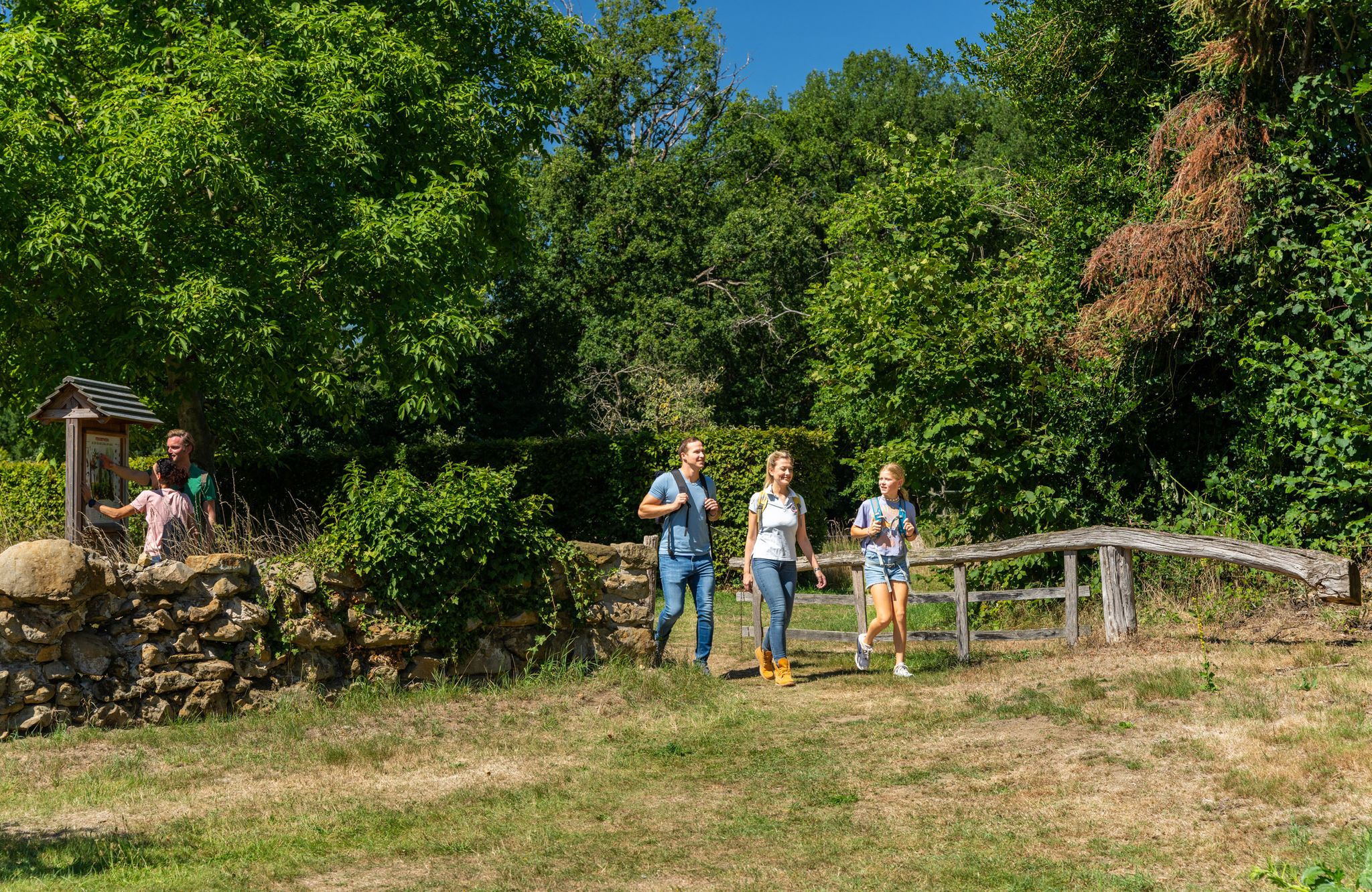
LandStreifer – circular hiking trails to Germany’s Hohe Mark Steig
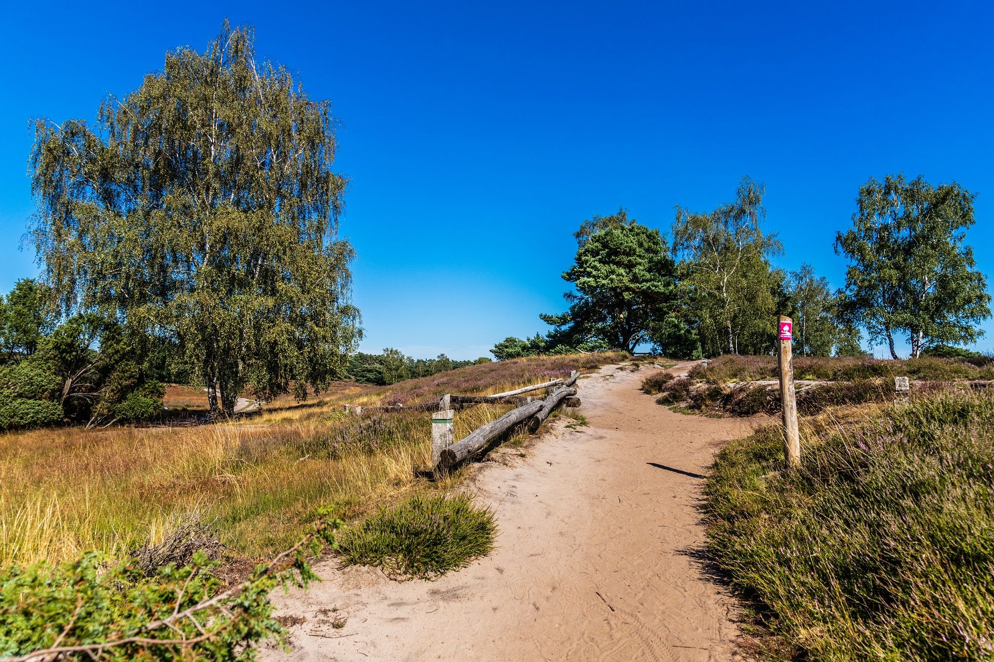
Your bond with nature — Germany’s Hohe Mark Steig
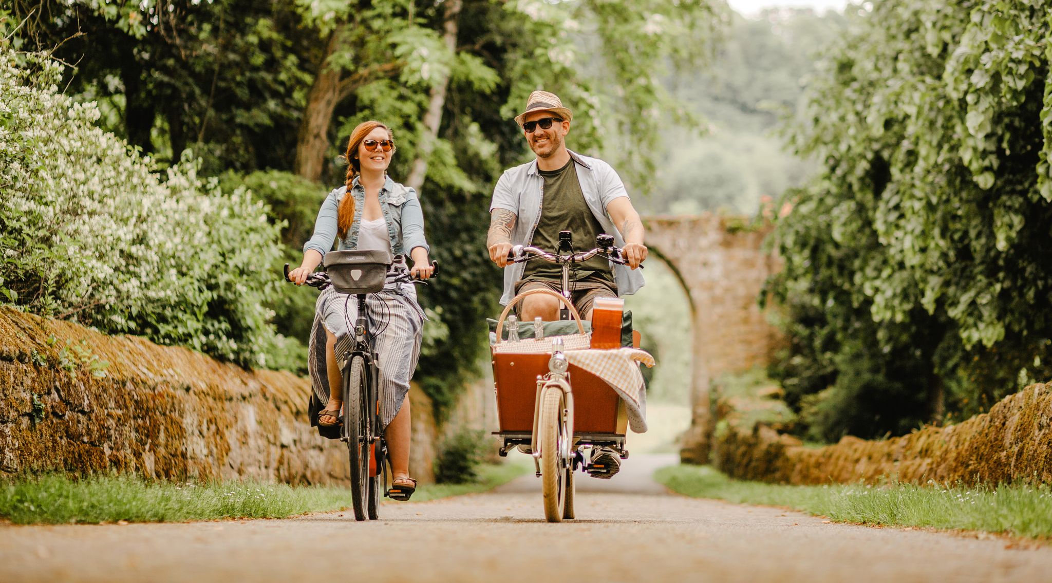
Castles and lakes – cycling through the western Hohe Mark region
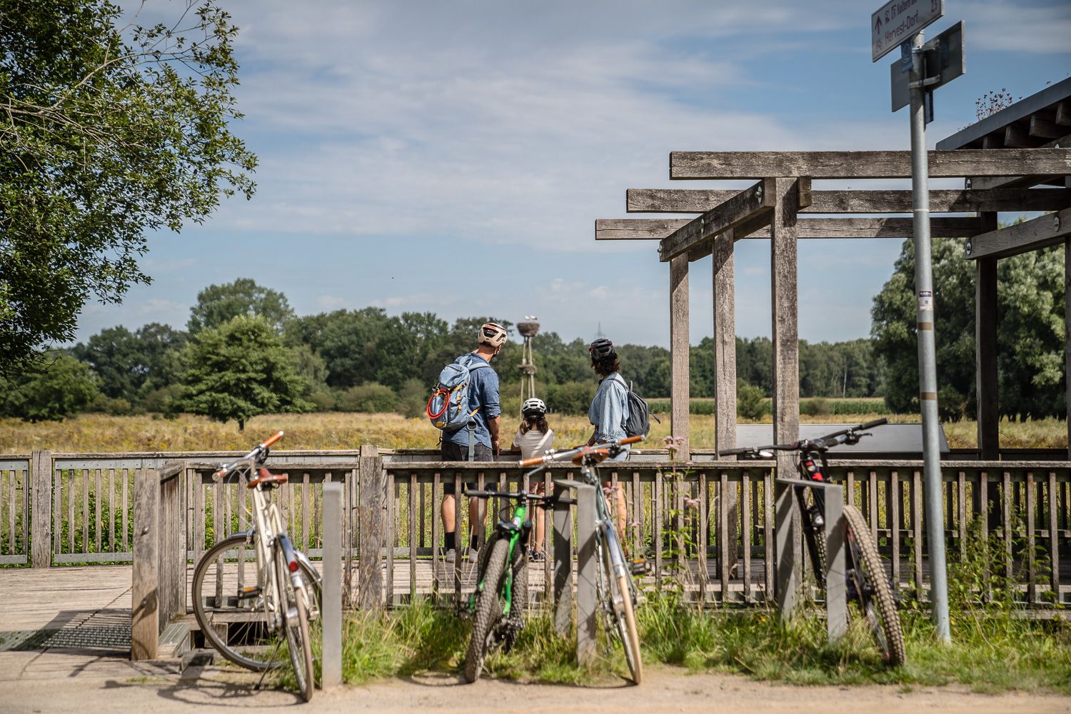
Day Tours on the Hohe Mark cycle route
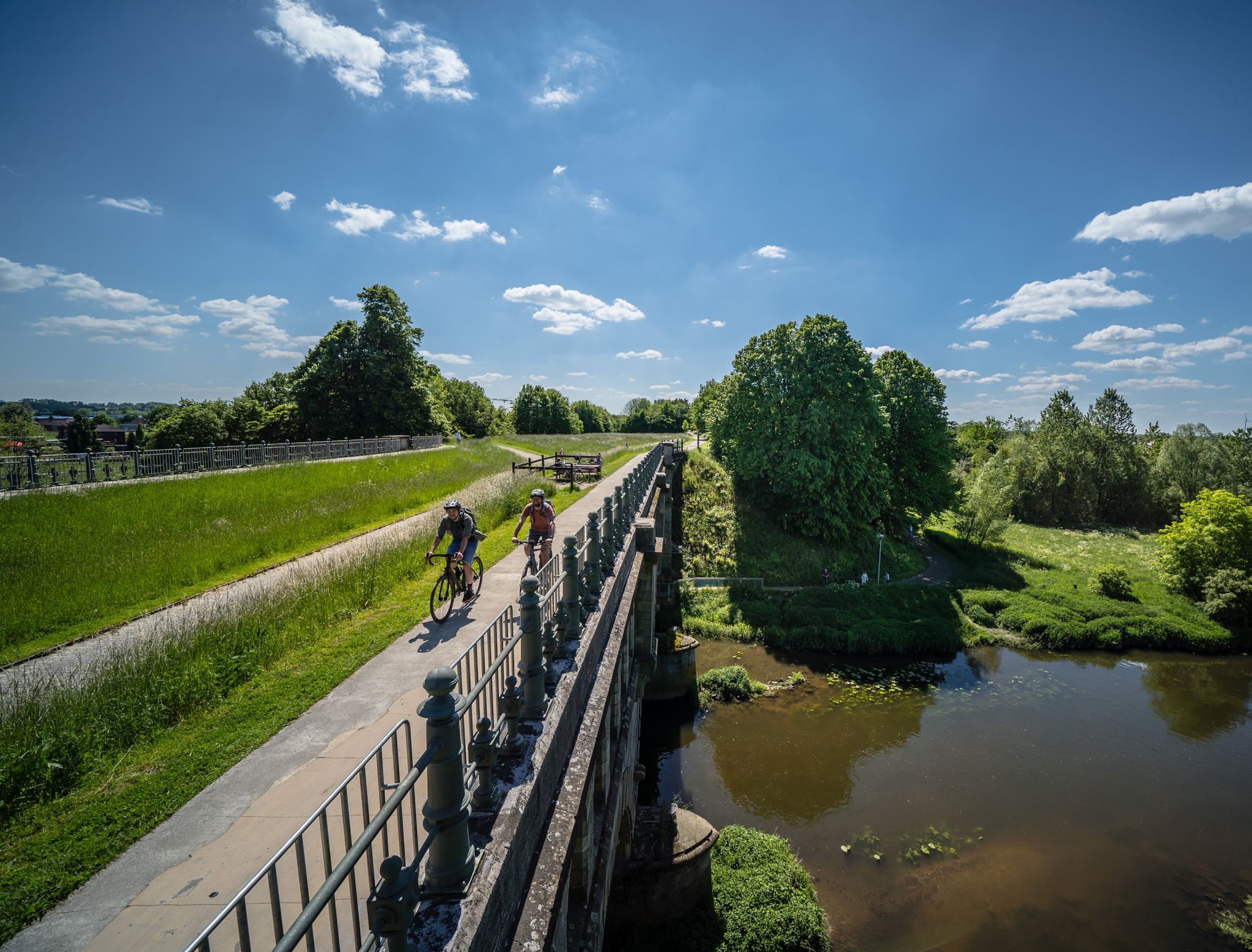
Germany’s Hohe Mark cycle route – escape into nature

Entlang von Flüssen, Seen und Kanälen im Fahrradparadies Münsterland

Cycling around Velen

Running Trails around Velen

Road Cycling Routes around Velen

MTB Trails around Velen
Other adventures around Velen


Tips from the Community

A special piece of Velen history. This impressive oak trunk comes from an almost 300-year-old English oak that for years was a recognizable part of the landscape south of Velen. The solitary tree was a beloved spot for generations of residents, where lovers met and children climbed in the branches. After a severe storm felled the oak, a large part of the trunk was preserved thanks to the efforts of the local historical society and rebuilt at this location. In this way, the old tree lives on as a tangible reminder of the landscape and the people of Velen. A beautiful place where nature, history, and community spirit come together.
0
0

Fliegerberg is an 84.7-meter-high sand elevation in the wooded ridge "Die Berge" between Borken and Velen in the Westmünsterland region. It belongs to the Hohe Mark Nature Park and is known today as a protected and valuable habitat. Origin of the name: The hill owes its name to its former use as a glider airfield. From 1930 onwards, the "Borkener Segelflug Gruppe" used the elevation as a launch ramp, while the sandy, nutrient-poor grassland served as a runway. From 1975 to 2007, the area was owned by the German Armed Forces (Bundeswehr). This military closure preserved the heath landscape from agricultural destruction. Nature and species conservation: Today, the area is an official nature reserve. • Heath landscape: An approximately 25-hectare area of sandy, nutrient-poor grassland and Calluna heath characterizes the area. • Wildlife: Fliegerberg is home to rare and protected species such as the sand lizard and the woodlark. • Landscape management: To protect the open land from scrub encroachment, Scottish Highland cattle graze here today as natural landscape managers. Hiking and experiencing: Fliegerberg is a popular destination for hikers and is ideal for exploring on foot. • The LandStreifer: The certified circular hiking trail "Die Berge" leads directly around the natural heritage area. Details on route profiles and GPS data are provided by tour portals such as Komoot. • Historical treasures: Those who hike attentively through the light mixed forests can discover inconspicuous, historical burial mounds from the Stone and Bronze Ages nearby.
0
0
The Hövelberg (Höglantheifeld) is a wooded mountain peak and a popular hiking highlight in the "Die Berge" region in the western Münsterland (North Rhine-Westphalia) in the area of Borken, Velen, and Ramsdorf. Details for hikers and explorers: • Starting point: Directly at the mountain, there is an idyllically located forest parking lot from which several hiking trails (such as the LandStreifer-Runde or the Highlandrinder-Runde) start. • Summit marker: The highest point is indicated in the forest by a striking stone combination or a corresponding summit marker.
0
0

The well-known Low German folk song „Dat du min Leevsten büst“... Here is the first stanza of this beautiful Low German song: "Dat du min Leevsten büst, dat du woll weeßt. Kumm bi de Nacht, kumm bi de Nacht, segg, wo du heeßt! Kumm du um Middernacht, kumm du Klock een! Vader slöpt, Moder slöpt, ick slaap alleen." https://www.niederdeutsche-literatur.de/texte/lied-id.php?TEXT_ID=5043&START=2
0
0
The Schwarzer Vennbach is a tributary of the Aa in the Borken district. The Schwarzer Venn is the oldest protected area in the Borken district. It is a small remnant of the formerly much larger Schwarzer Venn, which together with the Weißen Venn formed an extensive moorland landscape.
0
0


Frequently Asked Questions
How many hiking trails are there in Velen?
Velen offers a wide variety of hiking opportunities, with over 230 routes available. These range from easy strolls to more moderate excursions, ensuring there's something for every hiker.
What is the best time of year to go hiking in Velen?
The most favorable seasons for hiking in Velen are spring and autumn. Spring brings blossoming flora, while autumn offers a vibrant display of colorful foliage, both providing mild temperatures and exceptionally beautiful scenery for your outdoor adventures.
Are there easy hiking trails suitable for beginners or families in Velen?
Yes, Velen has many easy trails perfect for beginners or families. A particularly charming option is the trail tracing the Bocholter Aa river, which starts at Velen Castle and meanders past quaint half-timbered houses. Its gentle gradient makes it an ideal choice for families. Another easy route is the Historic Sawmill at Gut Roß – Velen Castle Mill loop from Velen.
Can I bring my dog on the hiking trails in Velen?
Many trails in Velen and the surrounding Hohe Mark-Westmünsterland Nature Park are dog-friendly, offering expansive forests and open areas for exploration. It's always recommended to keep dogs on a leash, especially in nature protection areas or near wildlife, and to check specific trail regulations if available.
Are there any circular hiking routes in Velen?
Yes, Velen is well-suited for circular hikes. The "LandStreifer" circular hiking trails within the Hohe Mark Nature Park are a great example, exploring diverse landscapes. The LandStreifer Borken/Velen "The mountains" is a popular moderate circular route. Another option is the Fliegerberg – Fliegerberg Meadow loop from Knüverdarp.
What natural features or landscapes can I expect to see while hiking in Velen?
Velen's landscape is characterized by undulating hills, verdant meadows, and expansive forests. You'll find diverse plant and animal life, especially within the Hohe Mark-Westmünsterland Nature Park, which features woodlands, open parkland, and even areas with lakes that have naturally reclaimed former sand and gravel quarries. The intriguing sandstone caves in Ramsdorf are also a unique natural highlight nearby.
What historical sites or attractions can I visit along the hiking trails in Velen?
Velen is rich in historical attractions. The historic Velen Castle, a moated castle dating back to the 13th century, is a central landmark and starting point for many trails. Its grounds include a park with ancient trees and a baroque deer park. Other nearby castles include Gemen Youth Castle and Ramsdorf Castle.
Are there options for longer, more challenging hikes in the Velen area?
While Velen is known for its accessible trails, there are options for longer and more challenging hikes, particularly within the Hohe Mark-Westmünsterland Nature Park. The Hohe Mark Steig, a quality-certified trail, extends for approximately 150 kilometers through the nature park, showcasing its diverse landscapes. Routes like Fliegerberg Meadow – Fliegerberg loop from Lünsberg und Hombornquelle offer a moderate challenge over nearly 15 km.
What do other hikers say about their experiences in Velen?
The hiking routes in Velen are highly rated by the komoot community, with an average score of 4.5 stars from over 700 reviews. Hikers often praise the diverse landscapes, well-marked paths, and the combination of natural beauty with historical landmarks like Velen Castle.
Are there opportunities for wildlife spotting while hiking in Velen?
Yes, especially within the Hohe Mark-Westmünsterland Nature Park, there are areas where wild horses and deer can be observed. The diverse habitats of forests, meadows, and wetlands also support a variety of bird species and other small wildlife, making for interesting encounters during your hike.
What is the Hohe Mark-Westmünsterland Nature Park, and how can I explore it from Velen?
The Hohe Mark-Westmünsterland Nature Park, located just south of Velen, is a vast protected area offering over 1,000 kilometers of hiking trails. It features dense forests, open parkland, and unique natural habitats. From Velen, you can easily access the park's extensive network, including the "LandStreifer" circular trails and sections of the long-distance Hohe Mark Steig. You can learn more about the park at nrw-tourism.com.
Are there places to eat or drink along the hiking routes in Velen?
Velen and its surrounding villages offer various opportunities for refreshments. Many routes pass through or near towns where you can find local restaurants, cafes, or traditional guesthouses. It's advisable to check opening times, especially in smaller villages, or pack some snacks and drinks for longer excursions.
Most popular routes around Velen
Most popular attractions around Velen

Get inspired with the komoot mobile app


Explore more
Browse the best Hikes in other regions.
