The 16 Most Amazing Peaks around Bütgenbach
Best mountain peaks around Bütgenbach are found in an elevated region characterized by hills and plateaus, rather than traditional towering peaks. The area features an average elevation of 576 meters, with the highest point within its municipal boundaries reaching approximately 681 meters. The Bütgenbach Lake and its 23-meter high dam are significant features of the landscape, offering various elevated trails and scenic views. This region provides numerous hiking and cycling trails across its undulating terrain.
Best mountain peaks around Bütgenbach
…Last updated: October 4, 2026
Baltia Hill – Highest Point of Belgium
Highlight • Summit
Translated by Google •
Tip by

Ehrensteinley Viewpoint
Highlight • Viewpoint
Translated by Google •
Tip by

Sign up now to discover places like this
Get recommendations on the best single tracks, peaks, & plenty of other exciting outdoor places.
Baraque Michel
Highlight • Mountain Hut
Showing Translation
Tip by

Ascent to Ehrensteinley
Highlight • Trail
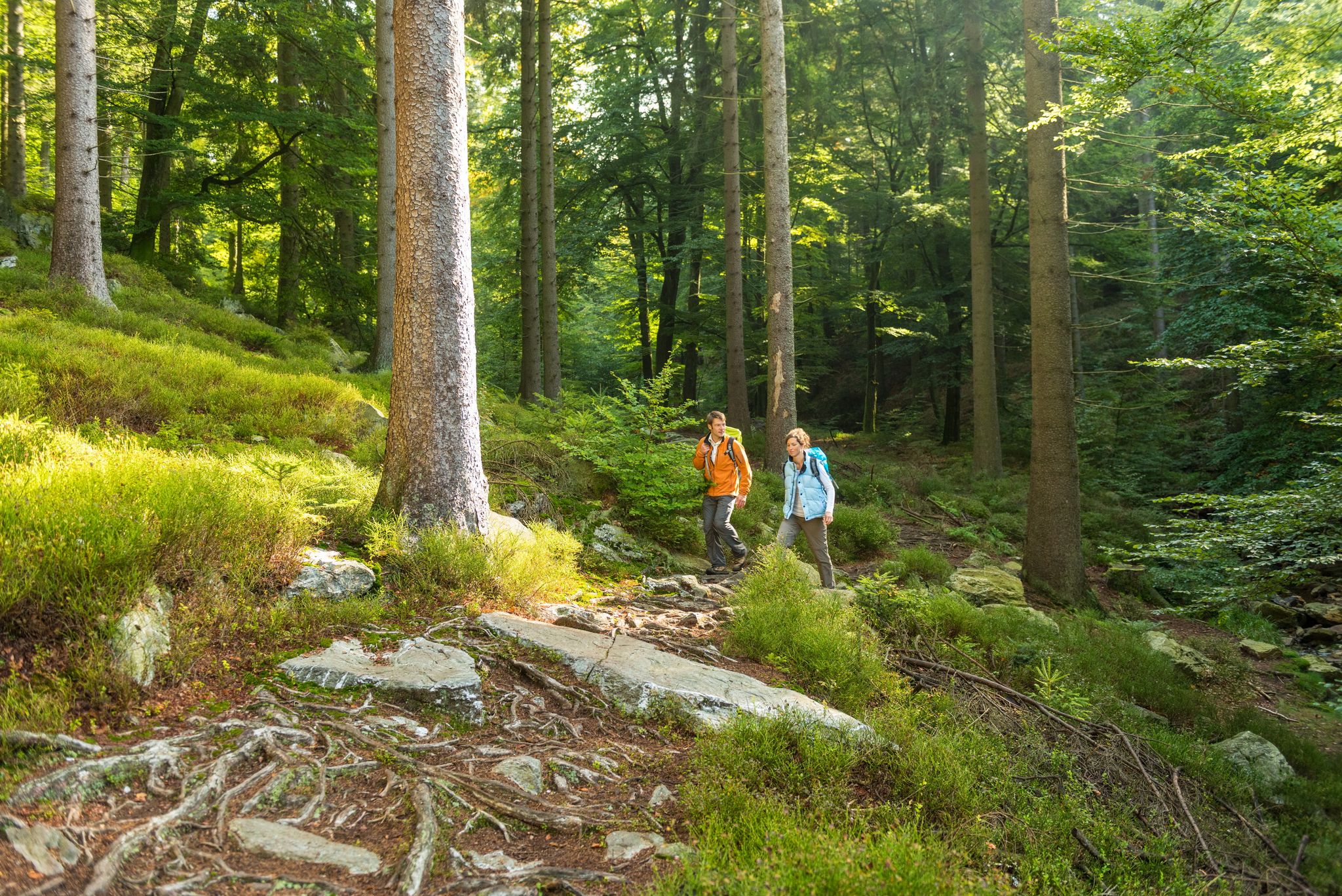
An easy mountain hiking trail, beautifully rocky and criss-crossed with roots!
From the Ehrensteinley you have a beautiful view over the Rurhöhen and the valley.
Translated by Google •
Tip by

Signal de Botrange – Highest Point of Belgium
Highlight • Summit
Translated by Google •
Tip by

Sign up for free to discover even more peaks around Bütgenbach.
Already have an account?
Start today with a free account
Your next adventure awaits.
Popular around Bütgenbach
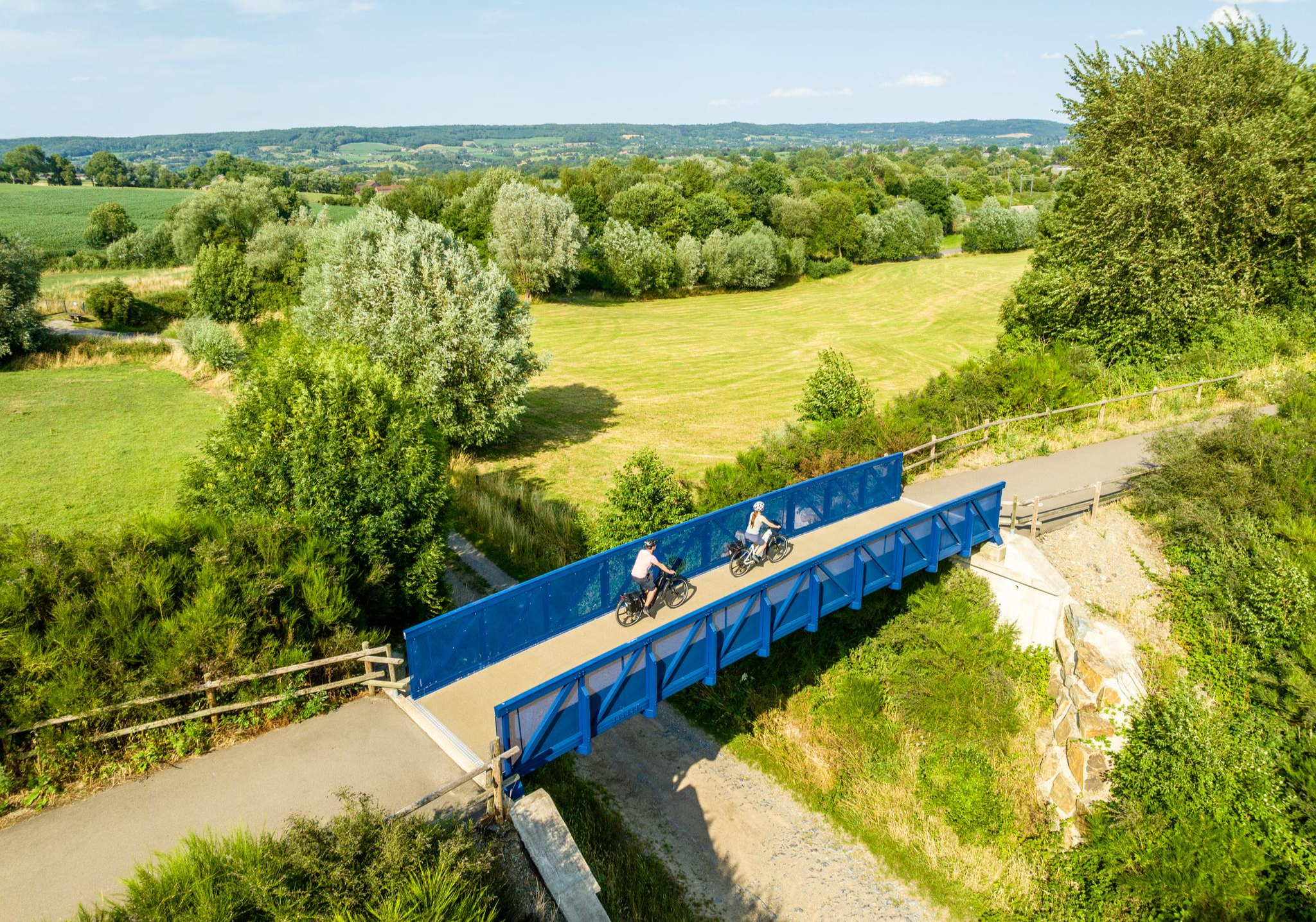
Three countries, one experience – borderless cycling in the Aachen region
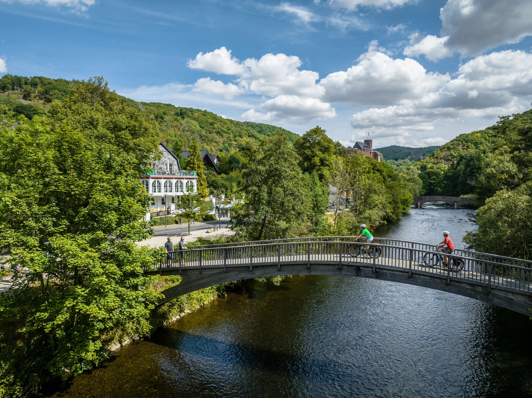
Heights, castles, moors – RURschleifen by bike
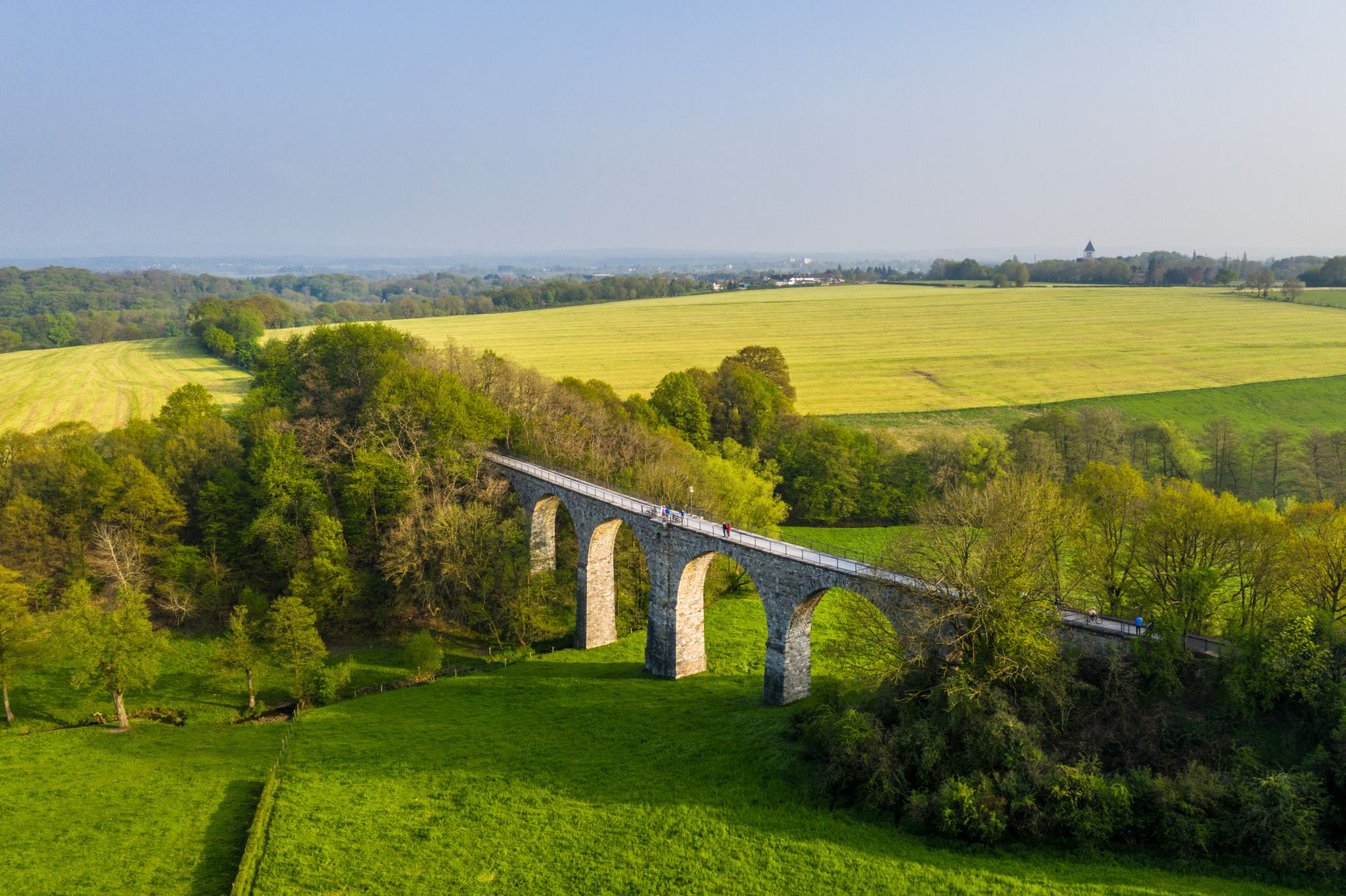
Cycling the tracks of the Vennbahn – the Vennbahnschleifen
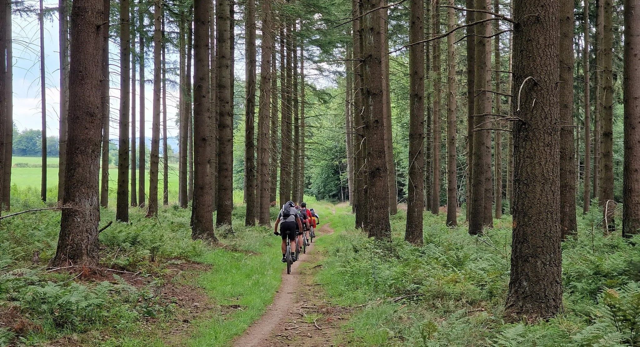
Trail rush through the East Belgian Ardennes
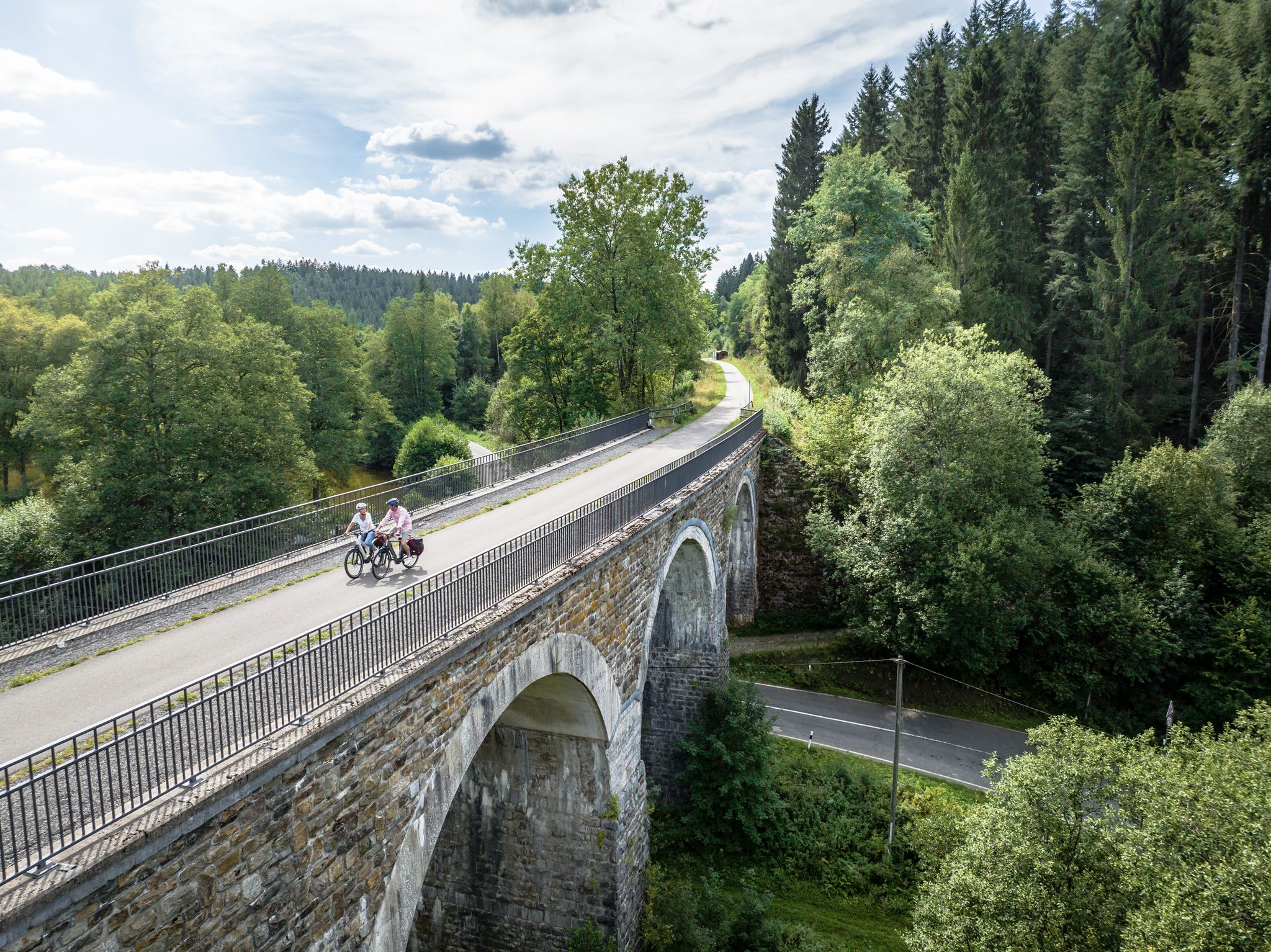
Fens, forests and water – cycling Tours in the Rur Eifel Region
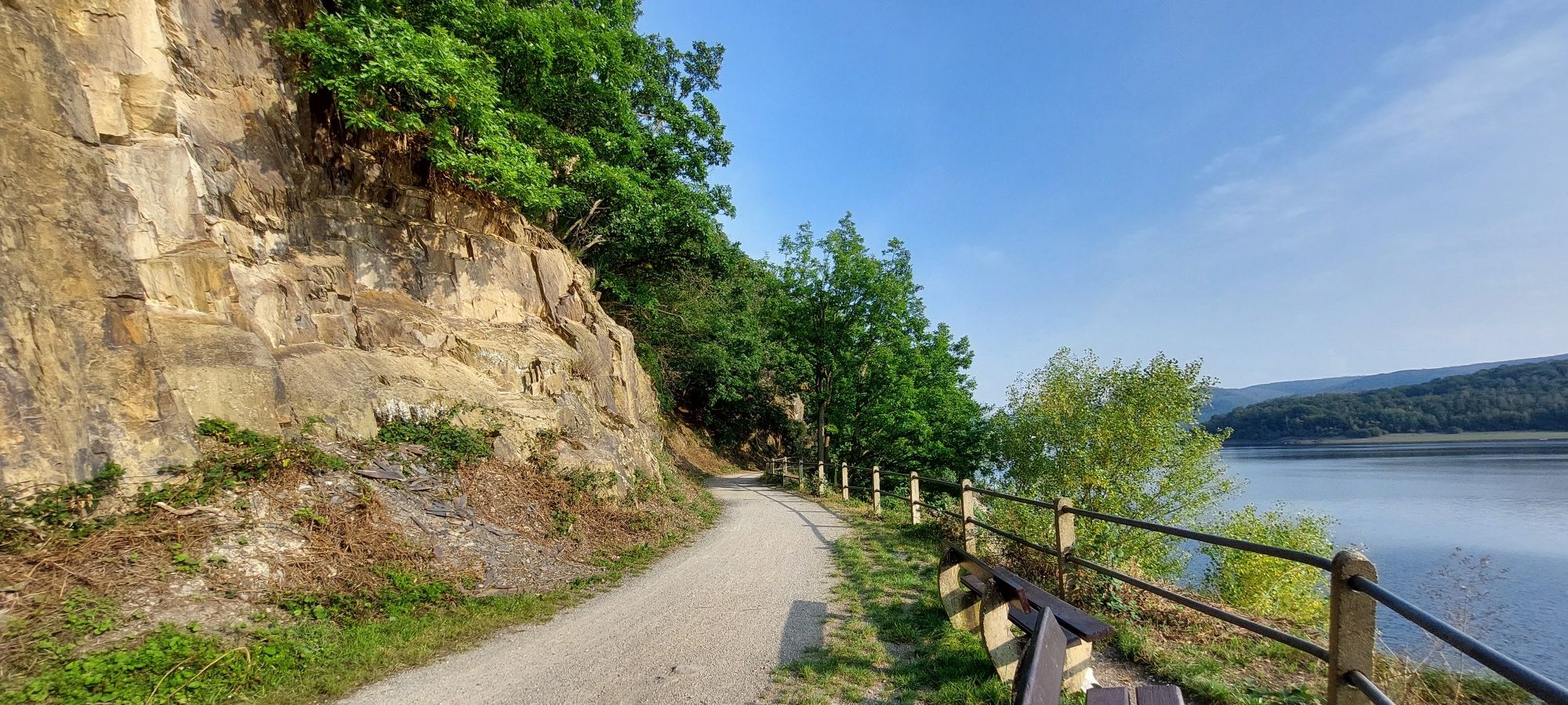
Head into wild nature with the Aachener Verkehrsverbund
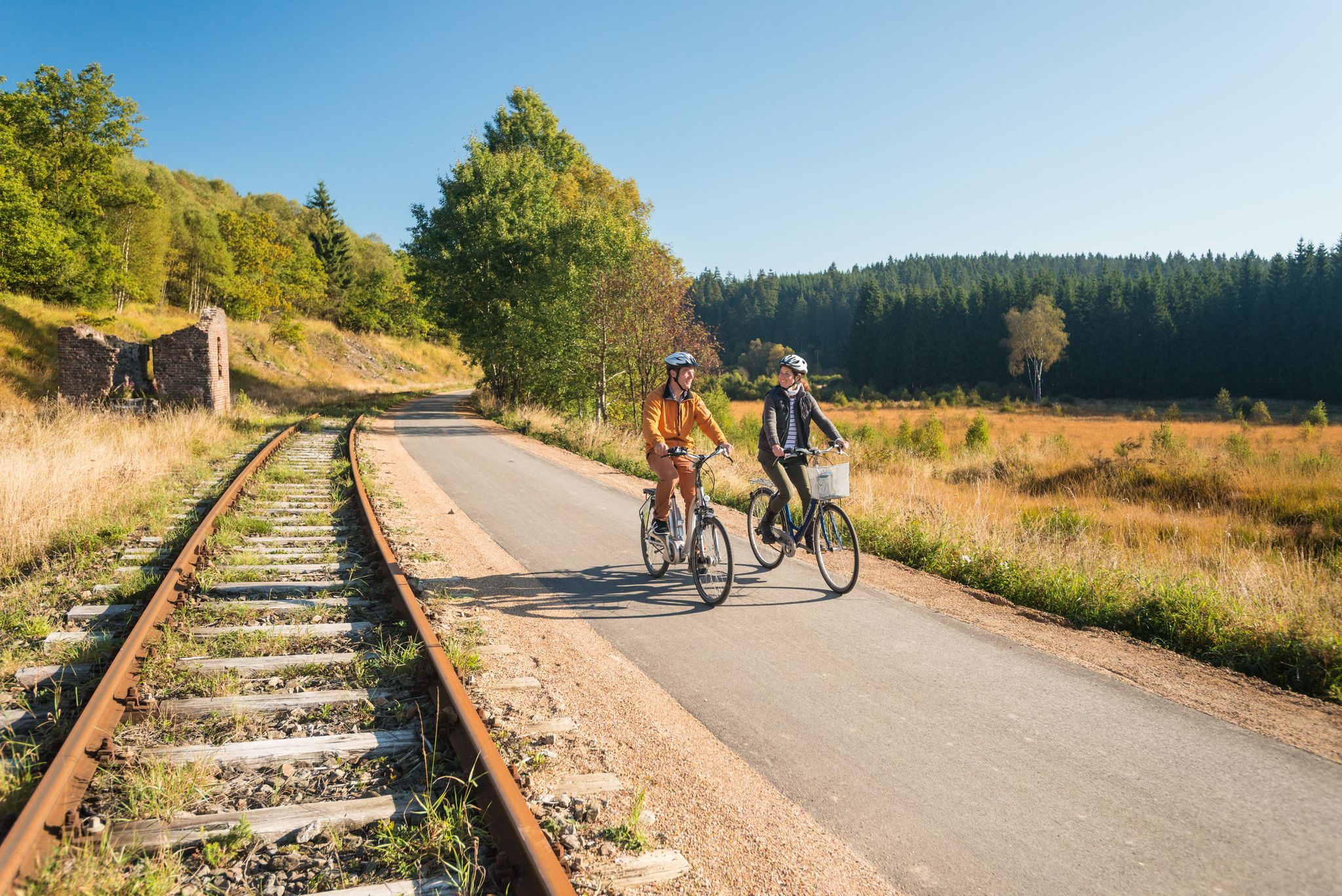
Boundless cycling pleasure on Belgium’s Vennbahn Cycle Route
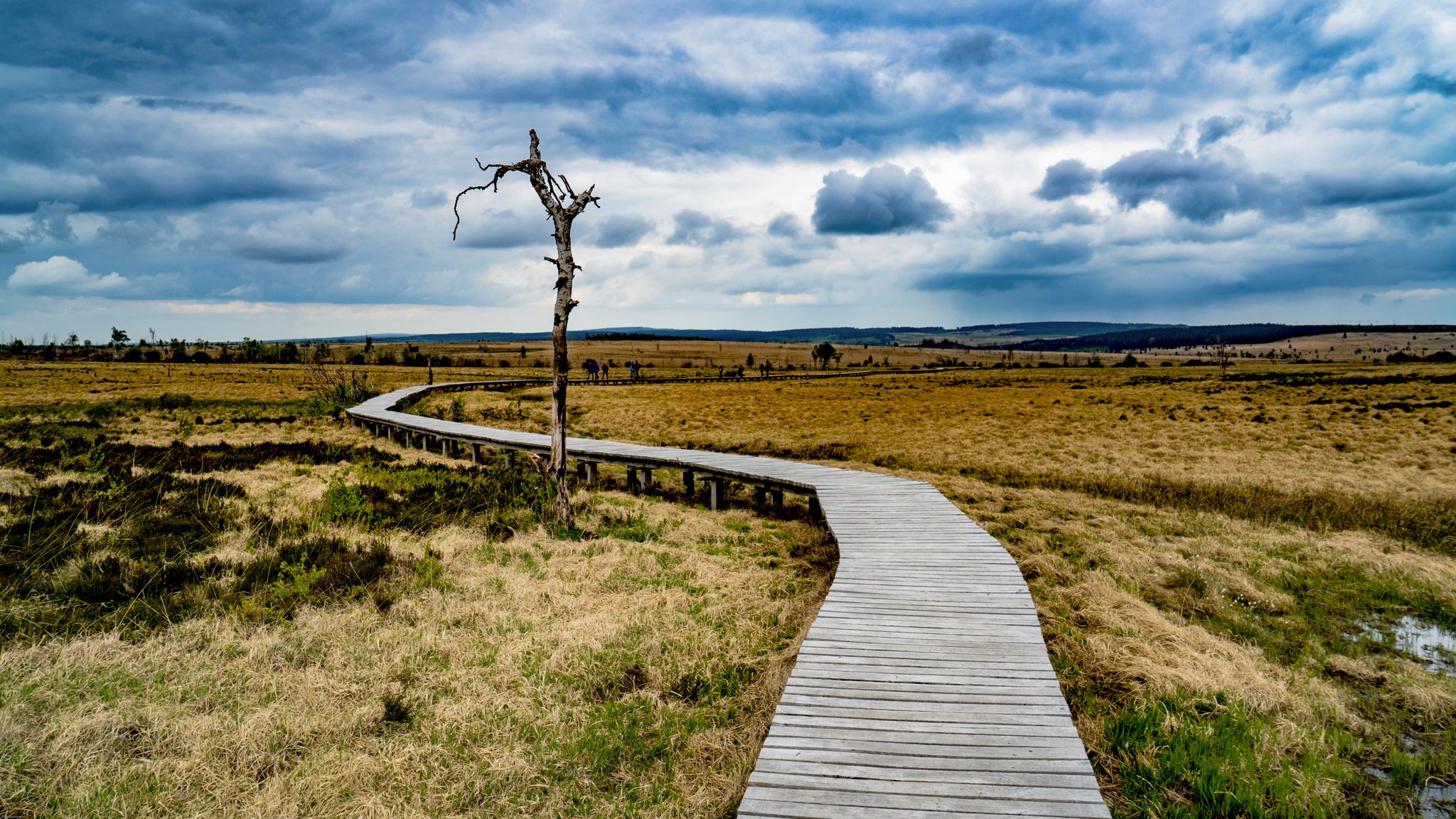
Leisure Tours on enchanted paths – hiking in East Belgium
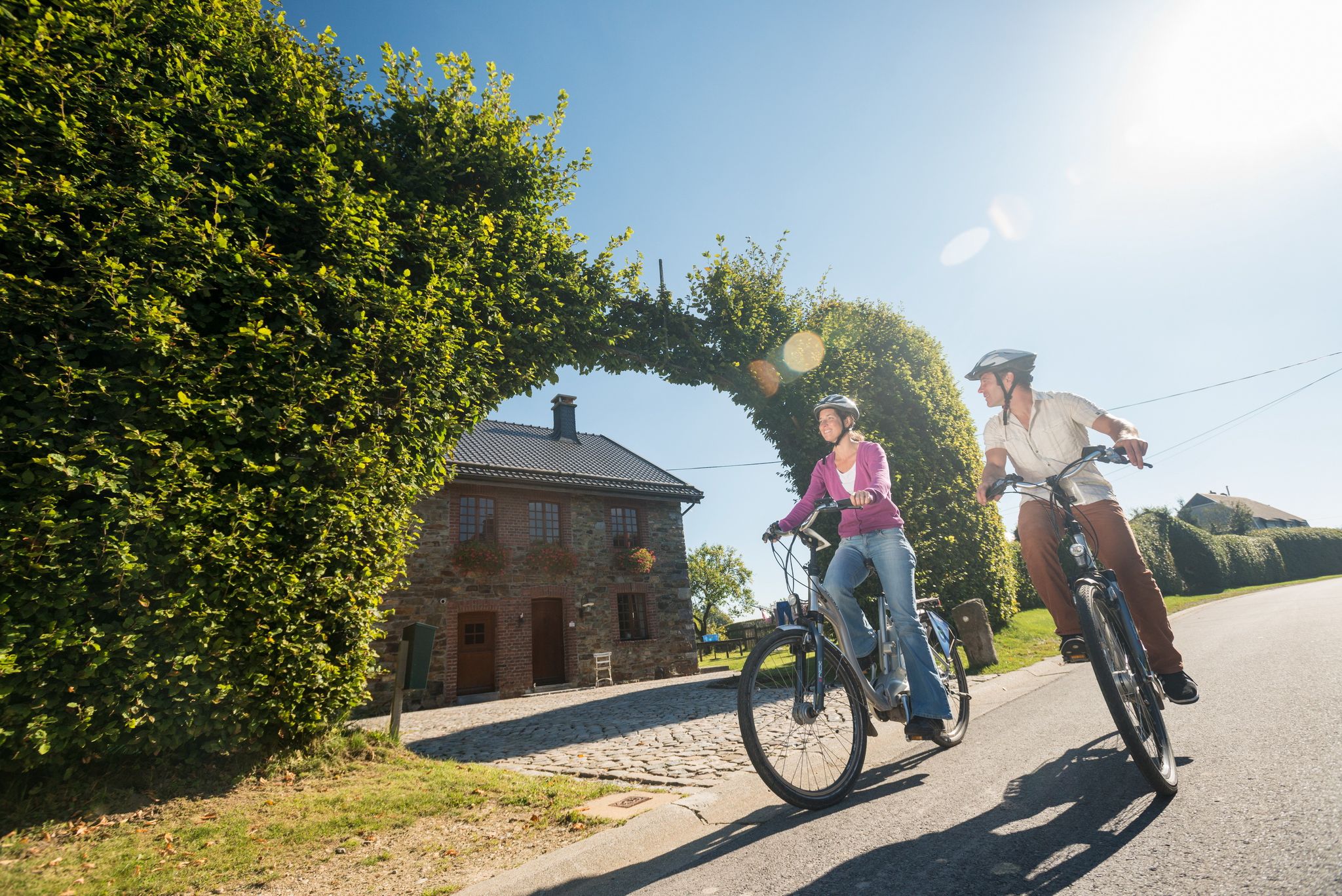
Ovelo cycle Tours in East Belgium – railway paths and natural beauty
Fantastic regional footpaths — GR hiking paths in East Belgium
Other adventures around Bütgenbach


Tips from the Community

Very nice path that goes quite up/down. Watch out for rocky parts on the wetter days.
2
0

The climb is a bit steep in places, but nothing exposed or dangerous!
5
0

The small, inconspicuous stone behind the raised hill is actually the highest point in Belgium (694 metres). The hill in front of it makes up the 700 metres.
22
0

With its 694 meters of altitude, the Signal de Botrange is the summit of the Benelux. For the anecdote, the few steps of stairs located next to the summit allow to climb to 700m.
7
0

Built in 1923, this hill marks the highest point in Belgium (Botrange signal - 694 meters). At six meters high, it also allows visitors to reach the symbolic altitude of 700 meters.
18
2

At 694m, the highest point in Belgium, the "Botrange", there is a lot to see. There is a restaurant and a 24m high observation tower "Signal de Botrange" with a great view over the "high moor" Hohes Venn. In the building there is also a tourist information with flyers, maps and information about the nature park. Since the tower belongs to the restaurant, it can only be entered during opening hours.
5
0

The botrange is 694.24 m O.P. the highest elevation in Belgium and is located in the High Fens. Baltia Hill (named after Belgian Lieutenant-General and Governor-General for the Eastern Cantons, Baron Herman Baltia) on the Botrange was built to raise Belgium's highest point to 700m. From 1815 to 1920 the border with Belgium was further north at Baraque Michel. At that time, the Botrange belonged to Prussia and the Rhine Province. On Prussian maps its height is given as 692 m, 2 m less than Belgian height figures. This results from the fact that the Prussians derived their height information from the Amsterdam level, while Belgium derived it from a level near Ostend. When the area was taken over by the Belgians, the Belgian government had this area re-measured (according to Belgian standards and elevation network information). With the help of this measured "rock hill" as a reference point, its coordinates and exact height of 700 m O.P. measured the country. In Prussian times, Baraque Michel was the highest point in Belgium.
74
4
The "Baltia Hill" (La butte Baltia) was built in 1923 and artificially raises the highest point in Belgium to 700.00 m. This height is also engraved on top of the pedestal. The (natural) height is officially given as 694 m. The "hill" is named after the Belgian Lieutenant General Baron Herman Baltia, who was High Commissioner and Governor General of the eastern cantons until 1925. Source: https://www.hikr.org/gallery/photo998587.html
69
2
Frequently Asked Questions
What are the most popular elevated areas and viewpoints around Bütgenbach?
While Bütgenbach features hills and plateaus rather than traditional towering peaks, visitors highly appreciate several elevated areas and viewpoints. Among the most popular are the View of the High Fens from the Signal de Botrange, offering expansive views, and the Ehrensteinley Viewpoint, known for its picturesque forest ascent and rewarding vistas.
Where is the highest point in Belgium located near Bütgenbach?
The highest point in Belgium, the Signal de Botrange, is located near Bütgenbach at 694 meters. It serves as an excellent starting point for tours into the High Fens. Adjacent to it is Baltia Hill, an artificial mound built in 1923 that symbolically raises the elevation to 700 meters.
Are there family-friendly elevated areas or viewpoints in the Bütgenbach region?
Yes, several spots are suitable for families. The Signal de Botrange – Highest Point of Belgium and the View of the High Fens from the Signal de Botrange are both considered family-friendly. Additionally, Baraque Michel, a historic hut and restaurant, is also family-friendly and offers facilities.
What natural features can I expect to see when exploring the elevated areas around Bütgenbach?
The region around Bütgenbach is characterized by its elevated landscapes, including the Bütgenbach Lake and its dam, which offer picturesque views. You can explore areas like the Bütgenbacher Heck, known for its forests and wildlife such as the red kite. Natural monuments like the Ehrensteinley Viewpoint provide stunning views over forests and valleys.
Are there historical sites or monuments associated with the elevated areas near Bütgenbach?
Yes, the Baltia Hill – Highest Point of Belgium has historical significance, marking the highest point and featuring the 'Tranchot Pyramid' which commemorates Colonel Jean-Jacques Tranchot. The Baraque Michel is a historic hostel established in 1811/1812, known for its role in guiding lost travelers and its connection to regional border history.
What outdoor activities can I do near these elevated areas and viewpoints?
The region offers numerous opportunities for outdoor activities. You can find extensive hiking and cycling trails that traverse the elevated landscapes. For specific routes, consider exploring the Gravel biking around Bütgenbach guide, the MTB Trails around Bütgenbach guide, or the Road Cycling Routes around Bütgenbach guide for detailed routes.
Are there specific hiking trails that offer good views of Bütgenbach Lake?
Yes, the region surrounding Bütgenbach Lake provides various elevated trails. An ascent from the Bütgenbach dam can lead to a height of 586 meters, offering views of the lake. The 'Sunny side' hike in Berg is also known for its picturesque views of Bütgenbach Lake and its dam.
What is the 'Bütgenbacher Heck' and what can I experience there?
The Bütgenbacher Heck is an elevated wooded area reachable via a 16 km hike. It offers visitors a chance to discover the realm of the red kite within its forests, highlighting the natural beauty and wildlife of the region.
What do visitors enjoy most about the elevated areas around Bütgenbach?
Visitors particularly enjoy the expansive and impressive views, especially from spots like the View of the High Fens from the Signal de Botrange. The short, picturesque ascents to viewpoints like Ehrensteinley Viewpoint, which reward hikers with fantastic vistas, are also highly appreciated. The overall natural beauty and the opportunity for outdoor activities in the undulating landscape are key attractions.
Are there any facilities or places to eat near the elevated areas?
Yes, the Baraque Michel is a historic hut that functions as a restaurant and offers parking, making it a convenient stop. The Signal de Botrange – Highest Point of Belgium also has facilities and a restaurant nearby.
What is the average elevation of the Bütgenbach region?
The overall topography of Bütgenbach features an average elevation of 576 meters. The highest point within its municipal boundaries reaches approximately 681 meters, characterized by hills and plateaus rather than sharp peaks.
Most popular routes around Bütgenbach
Most popular attractions around Bütgenbach

Get inspired with the komoot mobile app


Explore more
See even more amazing summits around Bütgenbach with these guides:
