The best road cycling routes in the Uncompahgre Plateau
4.3
(20)
2,097
riders
53
rides
Road cycling routes in the Uncompahgre Plateau traverse a 1.5 million-acre geological uplift in western Colorado. This region features significant elevation changes, ranging from 6,000 feet to over 10,000 feet, and diverse ecosystems. The landscape transitions from sagebrush and juniper at lower altitudes to aspen groves and ponderosa pines at higher elevations. Dramatic canyons, mesas, and prominent red rock formations, including those within the Colorado National Monument, characterize the terrain.
Best road cycling routes in the Uncompahgre Plateau
- The most…
Last updated: July 21, 2026
4.8
(5)
316
riders
52.7km
02:54
1,140m
1,160m
Cycle the challenging 32.8-mile Colorado National Monument loop via Rim Rock Drive, featuring stunning red rock canyons and desert vistas.
64
riders
43.3km
02:02
220m
220m
Cycle the moderate Colorado Riverfront Trail Loop, a 26.9-mile paved route with scenic views of the Colorado River and National Monument.

Sign up for free
13
riders
61.0km
02:28
280m
280m
Cycle the challenging 37.9-mile Fruit and Wine Byway - East Orchard Mesa Loop, featuring vineyards, orchards, and panoramic mesa views.
3.0
(1)
10
riders
53.7km
02:30
630m
630m
This moderate 33.4-mile road cycling loop on Reeder Mesa via Kannah Creek Road offers challenging climbs and amazing desert views.
11
riders
36.6km
01:53
620m
620m
Cycle the moderate 22.7-mile Rim Rock Drive through Colorado National Monument, gaining 2041 feet with stunning red rock views.
7
riders
81.0km
03:39
780m
780m
Cycle the Fruita Farm Roads to Colorado National Monument loop, a moderate 50.3-mile route with stunning red rock views.
6
riders
127km
05:45
1,450m
1,460m
The Fruita to Douglas Pass road cycling route is a true test of endurance, offering a difficult 78.8-mile (126.9 km) journey with 4773 feet (1455 metres) of elevation gain. This…
3
riders
135km
05:36
890m
890m
This difficult 83.6-mile (134.6 km) road cycling route from Delta to Grand Junction features 2932 feet (894 metres) of elevation gain.
2
riders
102km
08:51
1,800m
1,800m
Challenge yourself on this difficult 63.6-mile gravel biking route to Lands End Observatory, offering panoramic views from Grand Mesa.
36.4km
01:24
90m
90m
The Fruita to Highline Lake road cycling route offers a delightful escape into Colorado's high desert, culminating in a refreshing lakeside oasis. This popular road bike trail covers 22.6 miles…
Get access to more routes and recommendations from other explorers.
Sign up for free
Already have an account?
Our route recommendations are based on thousands of hikes, rides, and runs completed by other people on komoot.
Start today with a free account
Your next adventure awaits.
Login or Signup
Popular around Uncompahgre Plateau

American Discovery Trail — Walking from sea to shining sea
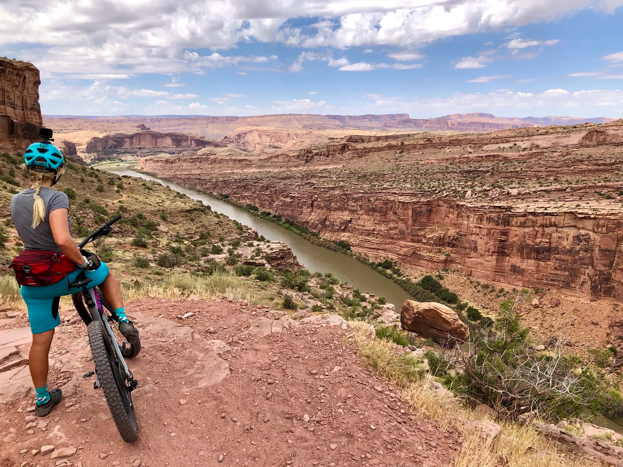
Kokopelli's Trail — Biking a legend’s trail across the desert

American Discovery Trail — Riding coast to coast

From the mountain peaks to the prairie – Rocky Mountains and Great Plains
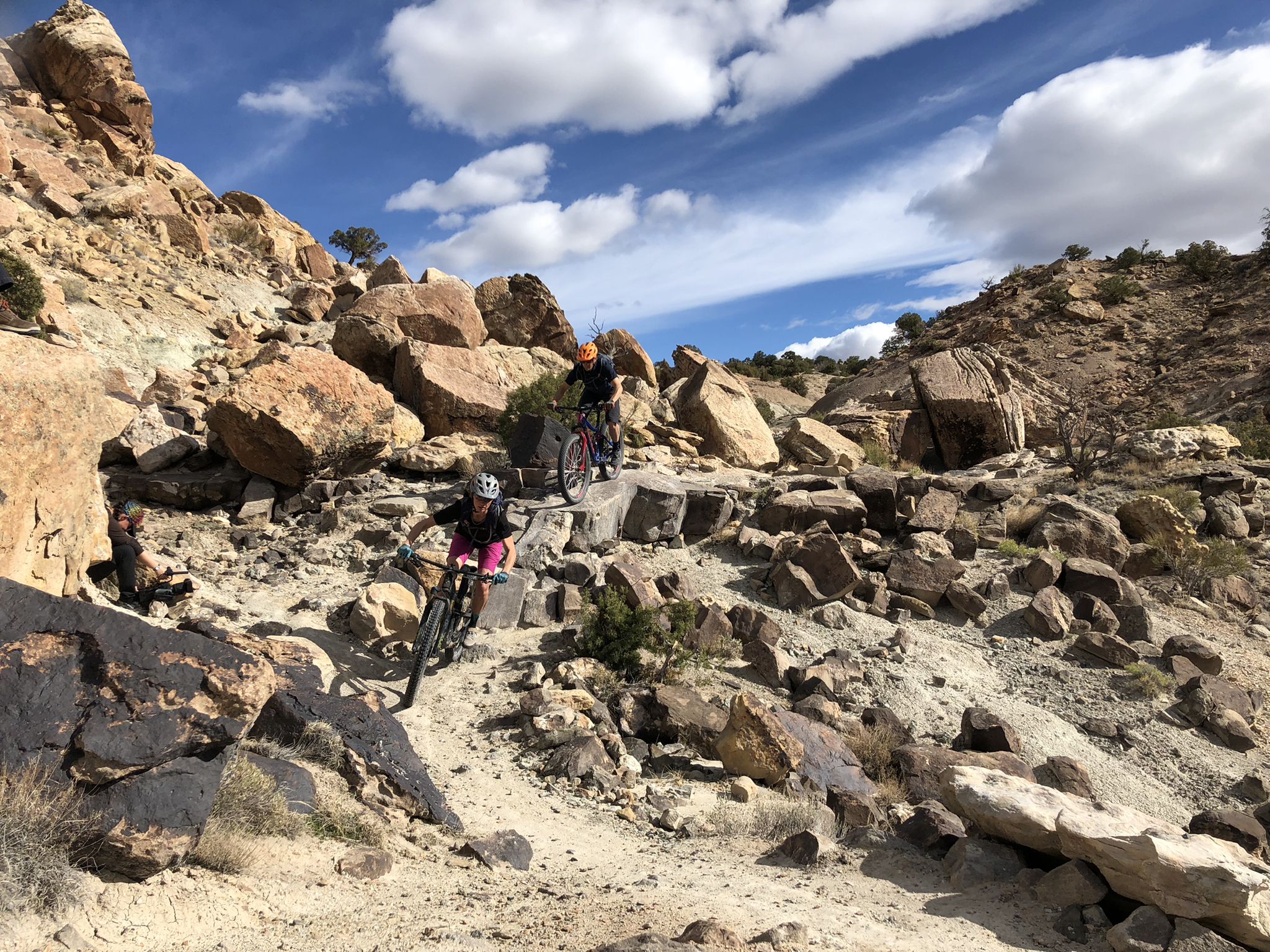
World-class desert trails in the Grand Valley
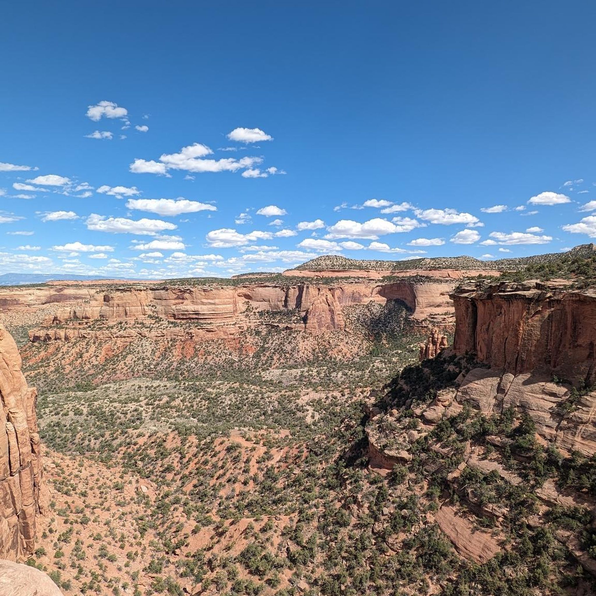
Hiking in the Uncompahgre Plateau
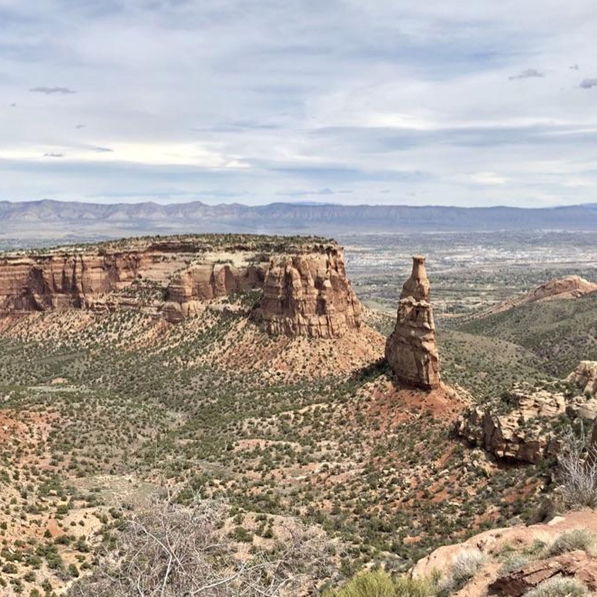
Cycling in the Uncompahgre Plateau
Running Trails in the Uncompahgre Plateau
MTB Trails in the Uncompahgre Plateau

Gravel biking in the Uncompahgre Plateau
Other adventures in the Uncompahgre Plateau


Tips from the Community


If you need a rental bike, OTE has you covered — great shop, even better people!
1
0

This is a great bike shop that will get you set up with whatever you need. Get a new bike, or just supplies for your current rig, the staff is also a great resource for the local area.
0
1

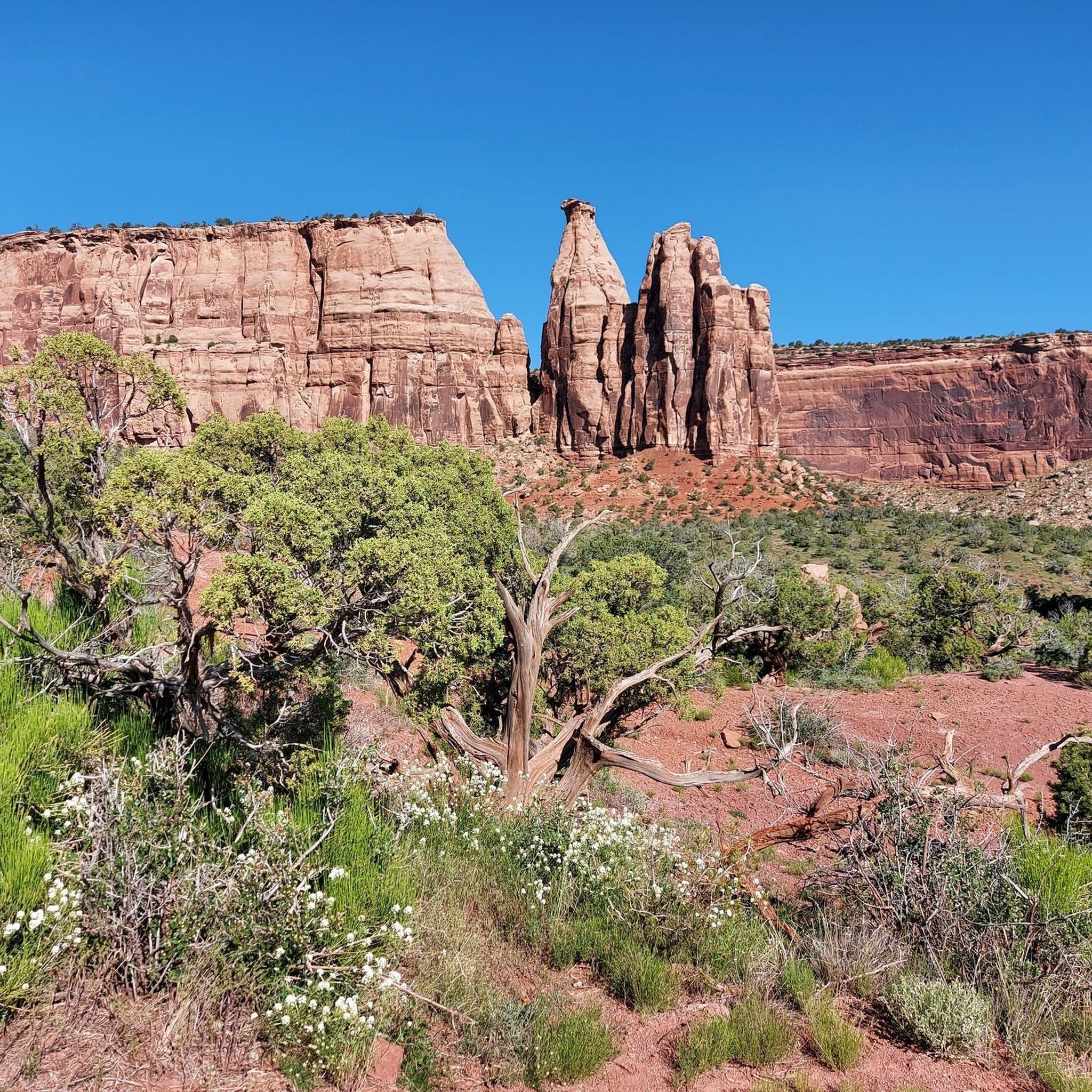
Balanced Rock is an impressive sandstone boulder, dramatically perched on a slender rock pedestal. This is a fantastic vantage point, and the best time to view it is at sunrise, when the light highlights its precarious balance against the rugged canyon backdrop.
0
0
The Coke Ovens Overlook is a great vantage point for an impressive view of the beehive-shaped rock formations created by erosion. These formations, shaped over millions of years from the Wingate Sandstone, get their distinctive appearance due to the weathering process. It's a fantastic spot to take a break and capture some memorable photos.
0
0

A must-visit during a hike. The view is far better than in the photo.
0
0
The visitors centre has great cycling jerseys specific to the park.
0
0
Frequently Asked Questions
What kind of road cycling routes can I expect in the Uncompahgre Plateau?
The Uncompahgre Plateau offers a diverse range of road cycling routes, from easier paved paths along rivers to challenging climbs with significant elevation gain. You'll find routes traversing varied landscapes, including sagebrush and juniper at lower altitudes, transitioning to aspen groves and ponderosa pines at higher elevations. The region is characterized by dramatic canyons, mesas, and prominent red rock formations, especially within the Colorado National Monument.
How many road cycling routes are available in the Uncompahgre Plateau?
There are over 50 road cycling routes available in the Uncompahgre Plateau, catering to various skill levels. This includes 11 easy routes, 23 moderate routes, and 16 difficult routes, ensuring options for every cyclist.
Are there any family-friendly road cycling options in the Uncompahgre Plateau?
Yes, for a more relaxed and family-friendly experience, consider routes like the Colorado Riverfront Trail Loop. This moderate 26.9-mile (43.3 km) paved path offers scenic river views with the Colorado National Monument as a backdrop, making it suitable for a wider range of cyclists.
What are some challenging road cycling routes in the Uncompahgre Plateau?
For experienced cyclists seeking a challenge, the Uncompahgre Plateau offers routes with substantial elevation gain. The Colorado National Monument loop via Rim Rock Drive is a difficult 32.8-mile (52.7 km) route with over 1,100 meters of ascent, providing stunning views of redrock canyons and towering monoliths. Another demanding option is Fruita to Douglas Pass, a 78.8-mile (126.9 km) route with over 1,450 meters of climbing.
What kind of scenic views and natural attractions can I expect along the routes?
Road cycling in the Uncompahgre Plateau offers breathtaking scenic views and access to remarkable natural attractions. You'll encounter dramatic red rock formations, deep canyons, and diverse ecosystems. Highlights include the iconic Independence Monument Overlook, the unique Window Rock, and the beehive-shaped Coke Ovens Overlook, all within the Colorado National Monument. Many routes also offer views of the La Sal Mountains to the west and the rugged San Juan Mountains to the south.
Is it possible to see wildlife while road cycling in the Uncompahgre Plateau?
Yes, the diverse habitats of the Uncompahgre Plateau support a wide array of wildlife. While cycling, you might spot mule deer, elk, desert bighorn sheep, pronghorn antelope, black bear, mountain lions, and various bird species like golden eagles. Keep an eye out, especially in quieter sections of the routes.
Are there many loop routes available for road cycling?
Many of the road cycling routes in the Uncompahgre Plateau are designed as loops, offering a continuous and varied experience without retracing your path. Examples include the Colorado National Monument loop via Rim Rock Drive, the Colorado Riverfront Trail Loop, and the Fruit and Wine Byway - East Orchard Mesa Loop.
What is the best time of year for road cycling in the Uncompahgre Plateau?
The Uncompahgre Plateau experiences significant elevation changes, so the best time to cycle varies. Lower elevation routes are generally pleasant in spring and fall, avoiding the summer heat. Higher elevation roads, particularly those above 8,000 feet, are best enjoyed from late spring through early fall when snow has melted and temperatures are milder. Always check local weather conditions before heading out.
What do other road cyclists say about the routes in the Uncompahgre Plateau?
The road cycling routes in the Uncompahgre Plateau are highly regarded by the komoot community, holding an average rating of 4.3 stars from over 16 reviews. Cyclists often praise the stunning geological features, the variety of terrain, and the remote, scenic vistas that make for memorable rides.
Are there any specific parking considerations or permits needed for road cycling routes?
While general parking is available at trailheads and access points, specific permits for *cycling* are not typically required for most public roads. However, for routes within the Colorado National Monument, such as the Rim Rock Drive, there may be entrance fees for vehicles. Always check the official website for the Colorado National Monument for the most current information on fees and regulations.
Are the road cycling routes primarily paved or gravel?
The Uncompahgre Plateau offers a mix, but many popular road cycling routes are paved. The Colorado National Monument Loop / Rim Rock Drive and the Colorado Riverfront Trail are notable paved options. While some main access roads in the broader region might be graveled, the routes highlighted for road cycling are generally suitable for road bikes.
Can I find places to eat or stay near the road cycling routes?
Yes, towns surrounding the Uncompahgre Plateau, such as Montrose, Ouray, Ridgway, Fruita, and Grand Junction, offer various options for cafes, pubs, restaurants, and accommodation. These towns serve as excellent bases for exploring the region's road cycling routes.
Most popular routes in the Uncompahgre Plateau
Most popular attractions in the Uncompahgre Plateau

Get inspired with the komoot mobile app


Explore more
Browse the best Road cycling routes in other regions.
