The best traffic-free bike rides in the Uncompahgre Plateau
4.6
(16)
4,135
riders
19
rides
No traffic touring cycling routes in the Uncompahgre Plateau traverse a vast geological uplift in western Colorado, characterized by diverse landscapes and significant elevation changes. The region features a blend of remote backcountry, dramatic red rock canyons, and expansive mesas. Elevations range from approximately 4,600 feet near the Colorado River to nearly 10,000 feet at its summit, offering varied terrain for touring cyclists. This area provides a mix of ecosystems, from pinyon-juniper woodlands to ponderosa pine forests.
Best no traffic…
Last updated: May 16, 2026
3
riders
9.47km
00:34
20m
20m
Embark on the Connected Lakes Loop for an easy touring bicycle ride, covering 5.9 miles (9.5 km) with a gentle elevation gain of just 65 feet (20 metres). This relaxed…
1
riders
14.3km
01:22
130m
130m
Embark on an easy touring bicycle ride along Kokopelli's Trail, a route that winds for 8.9 miles (14.3 km) through the striking landscapes of the McInnis Canyons National Conservation Area.…

Sign up for free
19.4km
01:58
300m
300m
The Jones Canyon Trail is a moderate 12.0-mile touring cycling route in McInnis Canyons National Conservation Area, offering scenic canyon v
40.0km
03:21
420m
420m
Cycle 24.9 miles (40.0 km) on the moderate Utah via DS Road touring route, offering big desert scenery and views of the Colorado National Mo
28.1km
02:30
270m
270m
Cycle the 1 8/10 Road via Rabbit Valley, a moderate 17.5-mile touring route through pinyon-juniper desert landscapes in Mesa County.
Get access to more routes and recommendations from other explorers.
Sign up for free
Already have an account?
Our route recommendations are based on thousands of hikes, rides, and runs completed by other people on komoot.
Start today with a free account
Your next adventure awaits.
Login or Signup
Popular around Uncompahgre Plateau

American Discovery Trail — Riding coast to coast

American Discovery Trail — Walking from sea to shining sea
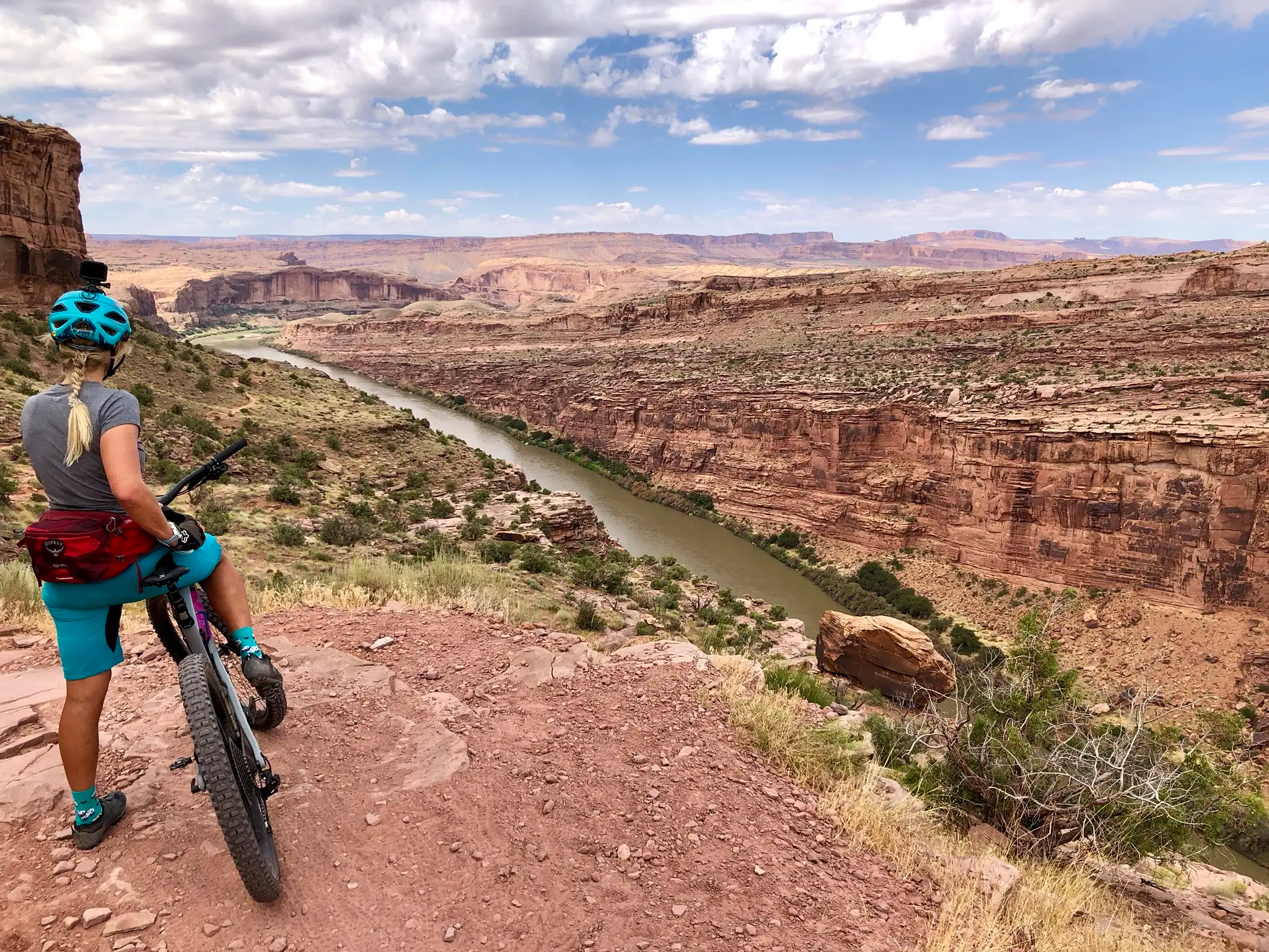
Kokopelli's Trail — Biking a legend’s trail across the desert

From the mountain peaks to the prairie – Rocky Mountains and Great Plains
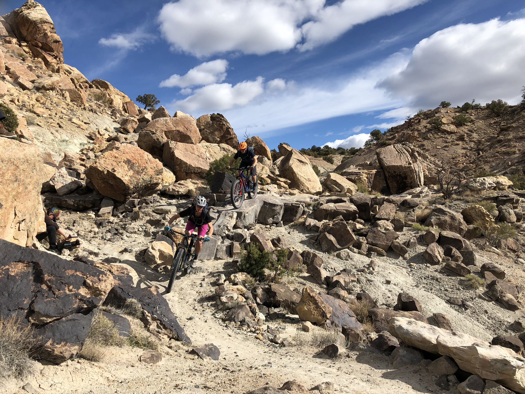
World-class desert trails in the Grand Valley

Traffic-free bike rides in the Uncompahgre Plateau
Other adventures in the Uncompahgre Plateau


Tips from the Community

Sieber Canyon is a unique trail where you ride above the canyon and on the walls are pictographs of all kinds including what look to be footprints. Overall, these sandstone formations provide scenic views of unique geology and mule routes.
0
0
This state line crossing is pretty anti-climactic as there isn't a monument or a great view. This is more of a personal accomplishment. The last section of the road before you get to the state line is a gravel/dirt mix. If you are a confident road rider, 28mm tires are fine.
0
0
This road is a popular corridor for people camping at the campgrounds located in the area and there are restrooms here. On the south end, there are very popular mountain biking trails.
0
0
Connected Lakes Trail offers a flat path that almost anyone can enjoy. It's nice to be surrounded by water and have tree covered trails to partially escape the sun.
0
0
This state line crossing is pretty anti-climatic as there isn't a monument or a great view. This is more of a personal accomplishment. The last section of the road before you get to the state line is a gravel/dirt mix. If you are a confident road rider, 28mm tires are fine.
0
0
This point is a pretty popular group ride destination in the area. You can ride the quiet country roads out to the Utah boarder. There only thing really telling you where you are is the spray painted wood sign. The final stretch of road before you get to the boarder isn't paved, but it's not gravel. Just a dilapidated road that has been left to the elements.
0
0

For a rainy spring day, there's nothing better than grabbing something warm and caffeine infused for the ride up Monument Road
0
0
Frequently Asked Questions
How many no-traffic touring cycling routes are available in the Uncompahgre Plateau?
There are over 20 touring cycling routes in the Uncompahgre Plateau that focus on minimal traffic, offering a variety of experiences for cyclists. These include 13 easy routes, 6 moderate routes, and 1 difficult route.
What is the best time of year for no-traffic touring cycling in the Uncompahgre Plateau?
The Uncompahgre Plateau experiences significant elevation changes, from 4,600 feet to nearly 10,000 feet. Lower elevation routes are generally accessible earlier and later in the season, while higher altitude trails are best enjoyed from late spring through early fall to avoid snow and colder temperatures. Always check local weather conditions before heading out.
Are there any family-friendly no-traffic touring cycling routes?
Yes, the Uncompahgre Plateau offers several easy, no-traffic routes suitable for families. A great option is the Connected Lakes Loop, which is just under 10 km (6 miles) with minimal elevation gain, making it ideal for a relaxed family outing.
Can I bring my dog on these no-traffic touring cycling routes?
While many outdoor areas in the Uncompahgre Plateau are dog-friendly, specific regulations can vary by trail and land management agency (e.g., National Forest, BLM, State Parks). It's always best to check the specific rules for each route or area you plan to visit. Generally, dogs should be kept on a leash and all waste should be packed out.
What kind of terrain can I expect on no-traffic touring cycling routes in the Uncompahgre Plateau?
The Uncompahgre Plateau offers diverse terrain. While some routes are paved, many no-traffic options will feature gravel roads, especially on routes like the Divide Road (FR 402), which is traversable by regular passenger vehicles but offers a quiet, scenic journey. Expect varied surfaces and elevation changes, from gentle climbs to more challenging ascents.
What natural features and landmarks can I see along the routes?
The Uncompahgre Plateau is rich in natural beauty. You can expect dramatic red rock canyons, mesas, and diverse ecosystems. Notable attractions include the Independence Monument Overlook and Coke Ovens Overlook within the Colorado National Monument area. The region also features unique geological formations like Window Rock, offering panoramic views.
Are there any loop routes for no-traffic touring cycling?
Yes, there are several loop options available. For example, the Connected Lakes Loop is a shorter, easy loop. For a more challenging experience, some sections of the Rim Rock Drive within Colorado National Monument can be combined to form loops, though some segments may be unpaved.
Where can I find parking and trailheads for these routes?
Parking is generally available at designated trailheads and access points. For routes near the Colorado National Monument, visitor centers and overlooks often have parking. For routes like Kokopelli's Trail, you can find parking at the Kokopelli's Trailhead. Always check specific route details for the most convenient parking locations.
What wildlife might I encounter on the Uncompahgre Plateau?
The diverse ecosystems of the Uncompahgre Plateau support a wide array of wildlife. Cyclists might spot mule deer, elk, bighorn sheep, pronghorn antelope, and various bird species such as peregrine falcons and golden eagles. Black bears and mountain lions also inhabit the area, so it's important to be aware of your surroundings and practice wildlife safety.
What is the general difficulty level of no-traffic touring cycling routes in the Uncompahgre Plateau?
The routes range from easy to difficult. You'll find 13 easy routes, 6 moderate, and 1 difficult route. Easy routes like the Kokopelli's Trail offer relatively flat terrain, while moderate options like Jones Canyon Trail involve more significant elevation changes. The most challenging routes can feature substantial climbs and descents, testing endurance.
Are there any amenities like cafes or accommodation near the no-traffic cycling routes?
The Uncompahgre Plateau is known for its remote beauty, so amenities are not always directly adjacent to every trailhead. Larger towns like Grand Junction, Fruita, Montrose, and Delta, which border the plateau, offer a range of cafes, restaurants, and accommodation options. It's advisable to plan your route and carry sufficient supplies, especially for longer rides in more secluded areas. For more information on the region, you can visit visitmontrose.com.
Most popular routes in the Uncompahgre Plateau
Most popular attractions in the Uncompahgre Plateau

Get inspired with the komoot mobile app


Explore more
Browse the best Cycling routes in other regions.
