The best gravel rides in the Uncompahgre Plateau
5.0
(1)
45
riders
3
rides
Gravel biking in the Uncompahgre Plateau offers diverse terrain across a vast 1.5 million-acre geological uplift in western Colorado. This region features a network of gravel and dirt roads, transitioning from sagebrush and pinyon-juniper woodlands at lower elevations to aspen groves and mixed conifer forests higher up. The plateau is characterized by expansive mesas dramatically incised by numerous canyons and gulches, including Unaweep Canyon. This landscape provides varied riding environments suitable for gravel bikes.
Best gravel bike trails in the…
Last updated: October 10, 2026
5.0
(1)
7
riders
31.5km
03:01
270m
270m
Moderate gravel ride. Good fitness required. Mostly paved surfaces. Suitable for all skill levels.
20
riders
30.7km
02:02
170m
170m
Moderate gravel ride. Good fitness required. Mostly paved surfaces. Suitable for all skill levels.

3
riders
47.3km
04:37
430m
430m
Moderate gravel ride. Good fitness required. Mostly paved surfaces. Suitable for all skill levels.
9
riders
Moderate gravel ride. Good fitness required. Mostly paved surfaces. Suitable for all skill levels.
2
riders
70.0km
05:17
1,010m
1,010m
Hard gravel ride. Very good fitness required. Mostly paved surfaces. Suitable for all skill levels.
Our route recommendations are based on thousands of hikes, rides, and runs completed by other people on komoot.
Start today with a free account
Your next adventure awaits.
Popular around Uncompahgre Plateau

American Discovery Trail — Walking from sea to shining sea
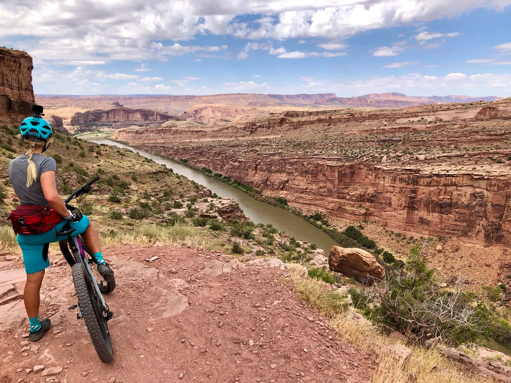
Kokopelli's Trail — Biking a legend’s trail across the desert

American Discovery Trail — Riding coast to coast

From the mountain peaks to the prairie – Rocky Mountains and Great Plains
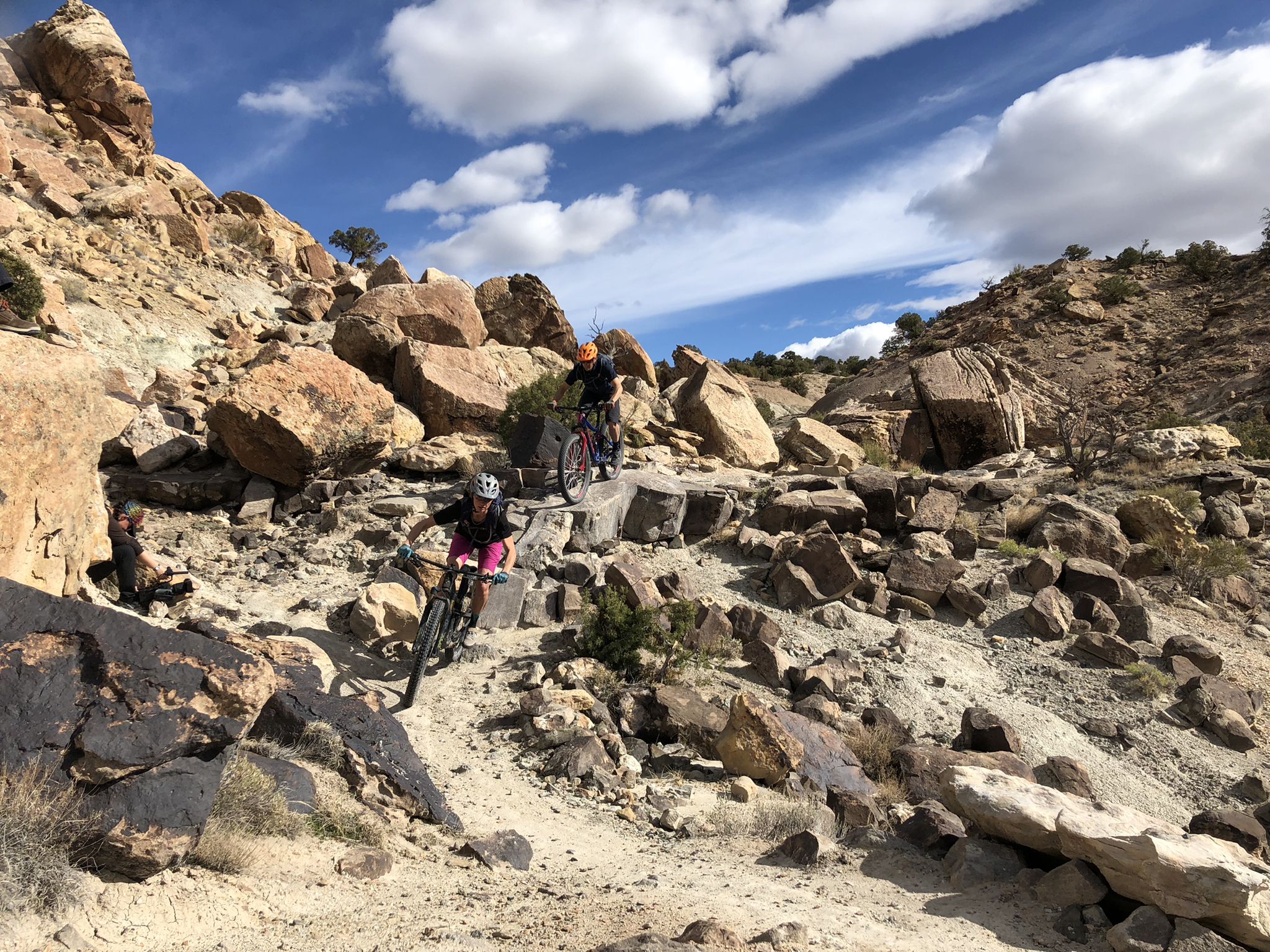
World-class desert trails in the Grand Valley
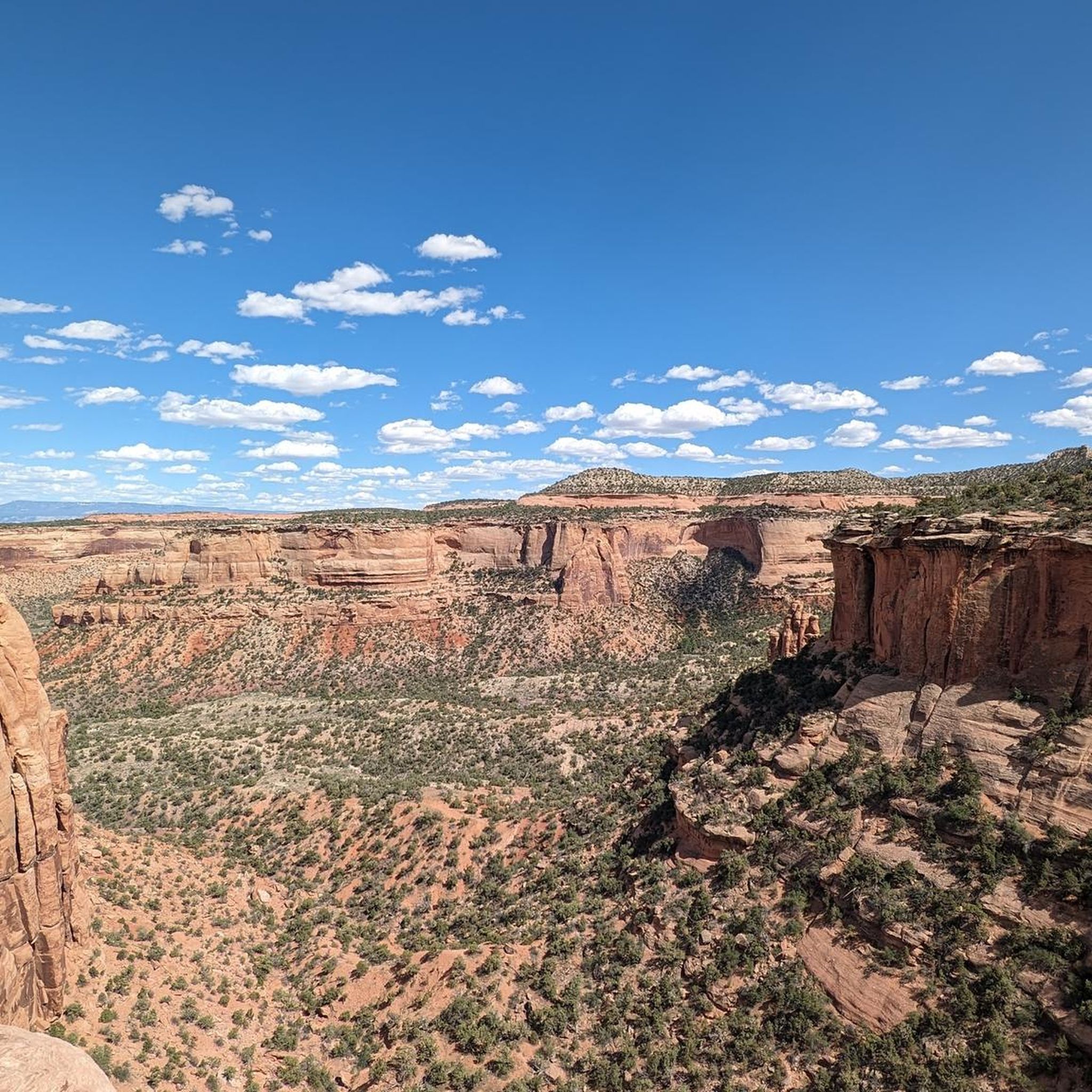
Hiking in the Uncompahgre Plateau
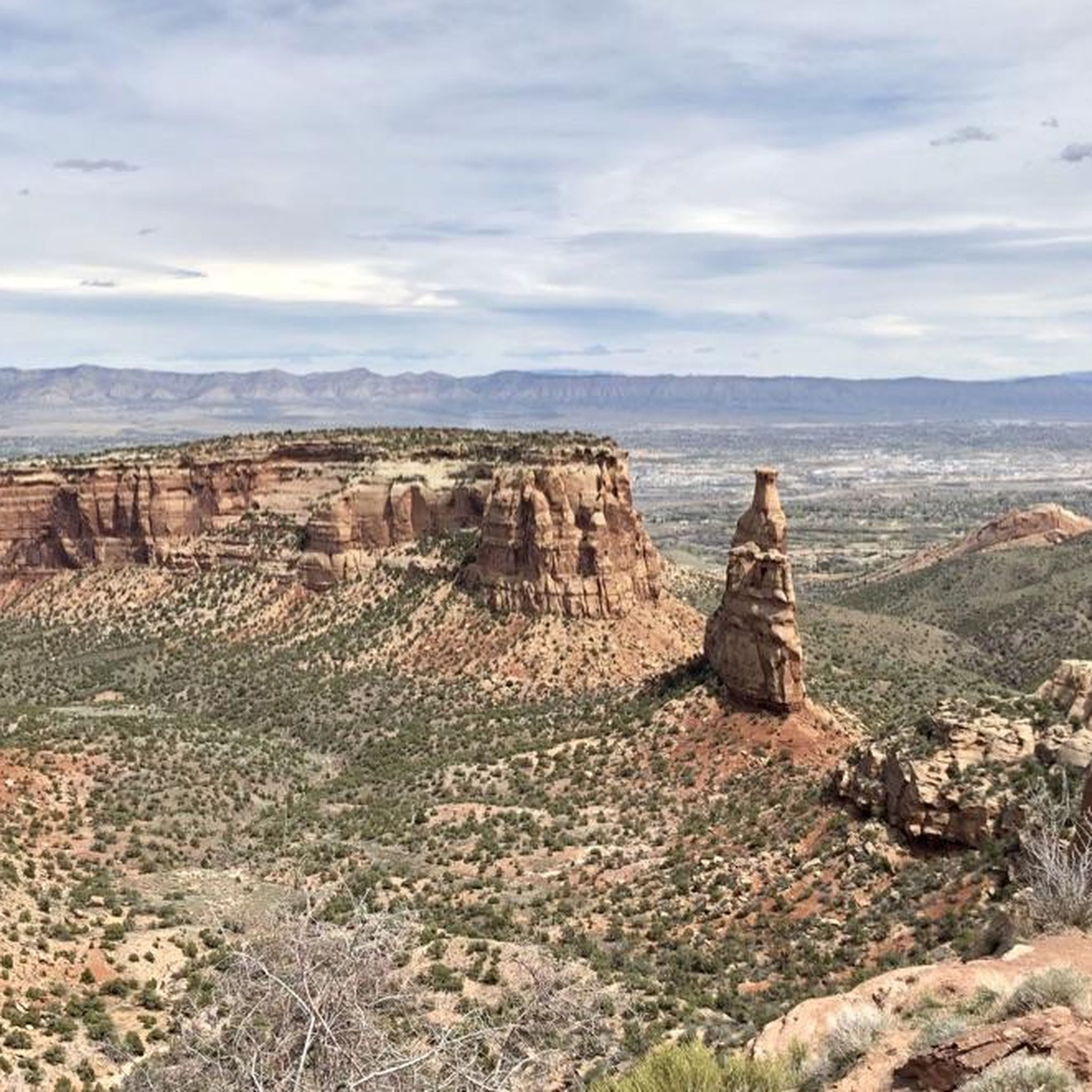
Cycling in the Uncompahgre Plateau
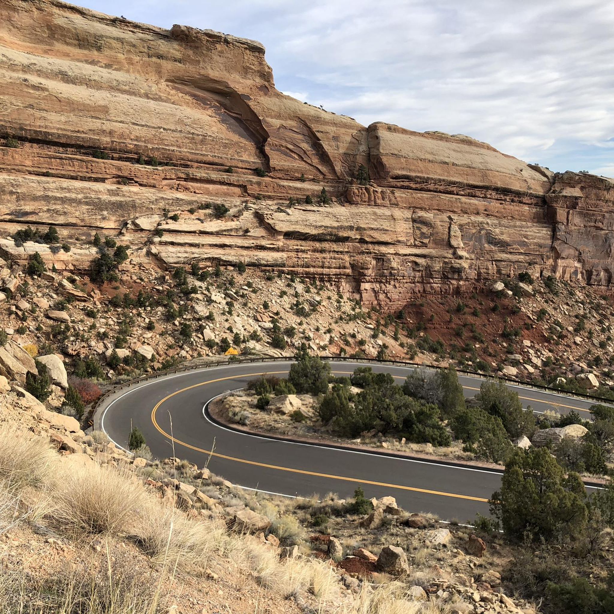
Road Cycling Routes in the Uncompahgre Plateau
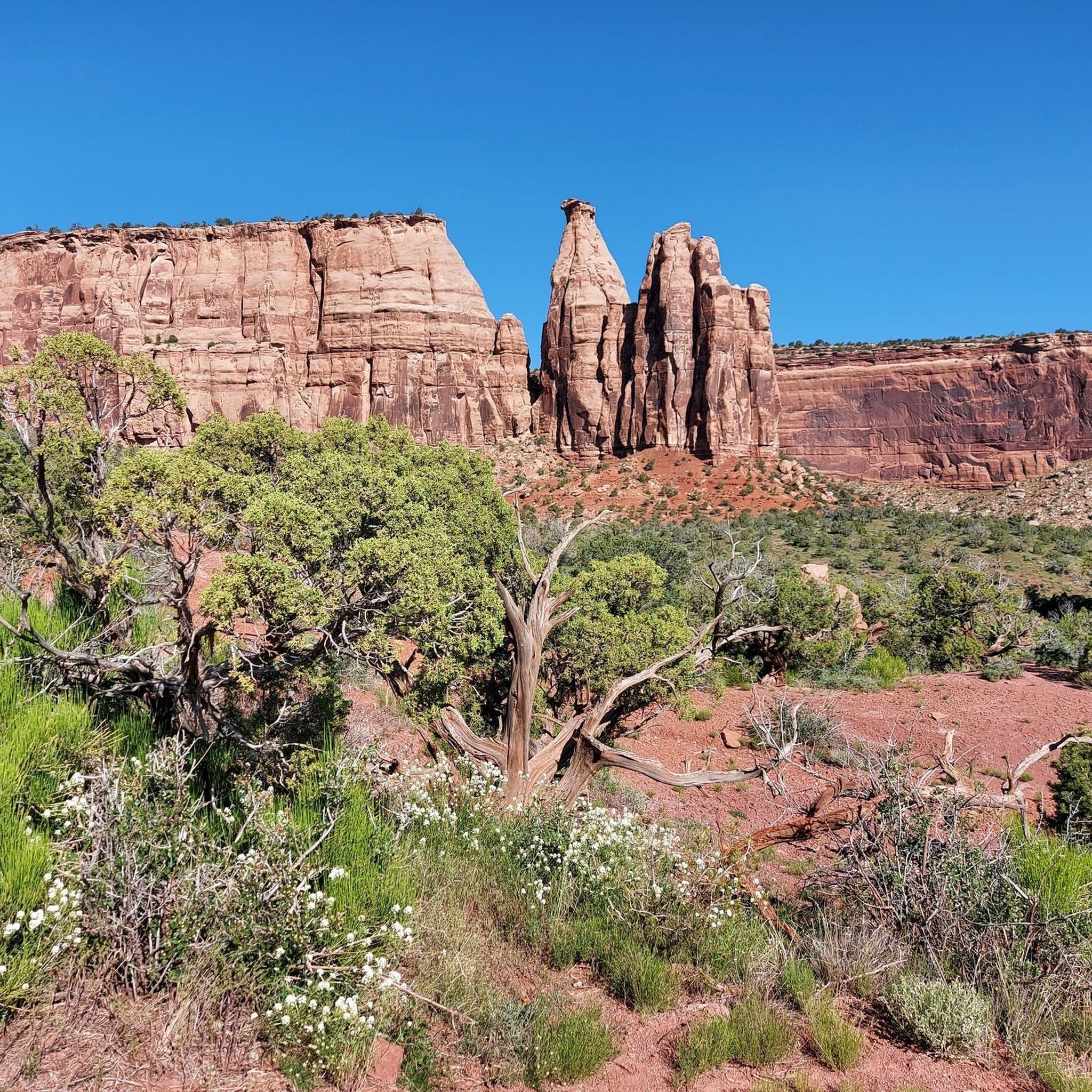
Running Trails in the Uncompahgre Plateau
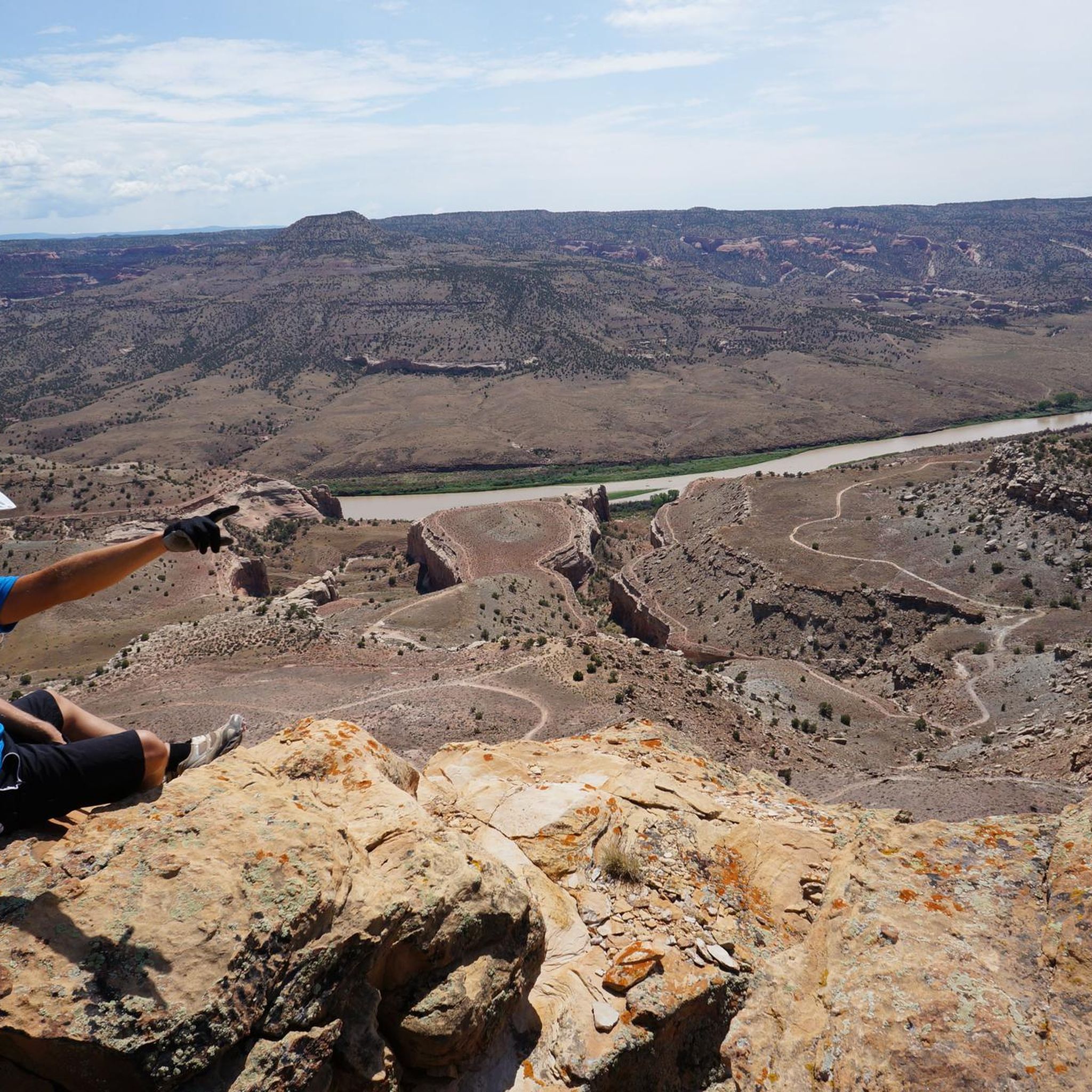
MTB Trails in the Uncompahgre Plateau
Other adventures in the Uncompahgre Plateau


Tips from the Community

Several fantastic mountain bike loops crisscross the area. These are easily accessible from the trailhead.
2
0

In 1904 the town of Nucla was founded. This small mining town is home to ~700 hardy people. You can see rolling farmlands and mountains off in the distance from this high-desert plateau.
0
0

The Hawkeye Trailhead is a parking lot without extra facilities (e.g. no toilet facilities at this trailhead). When you park here you start your mountain bike ride with the Hawkeye Trail which is an awesome uphill trail and also a great downhill with lost‘s of optional technical features.
1
0
This point is a pretty popular group ride destination in the area. You can ride the quiet country roads out to the Utah boarder. There only thing really telling you where you are is the spray painted wood sign. The final stretch of road before you get to the boarder isn't paved, but it's not gravel. Just a dilapidated road that has been left to the elements.
0
0
This river crossing is pretty scenic with the water below, the monument looming overhead and the Book cliffs off in the distance.
0
0
Kokopelli's Trailhead is just four miles west of Fruita. Take the Loma exit (#15) to get here. The parking lot has restrooms, but no water facilities. Most of the loop rides start here as well as the infamous Kokopelli Trail that connects Fruita with Moab.
2
0
Frequently Asked Questions
How many gravel bike trails are available in the Uncompahgre Plateau?
The Uncompahgre Plateau offers several gravel biking routes, with komoot featuring 4 distinct tours. These range from moderate to difficult, providing options for various skill levels.
What kind of terrain can I expect on gravel bike trails in the Uncompahgre Plateau?
You'll encounter diverse terrain, transitioning from sagebrush and piñon pine woodlands at lower elevations to aspen groves and mixed conifer forests higher up. The plateau is characterized by relatively flat mesas dramatically interrupted by deep canyons and ravines. Routes often feature packed dirt, hard-packed gravel roads, and more rugged double-track sections.
Are there any family-friendly gravel biking options in the Uncompahgre Plateau?
While many routes on the Uncompahgre Plateau are rated moderate to difficult, the region does offer varied terrain. For families, look for routes described as having packed dirt and rolling hills, which are generally more accessible. Always check the specific route details for elevation gain and surface conditions to ensure it matches your family's ability.
What are some notable natural features or landmarks to see while gravel biking?
The Uncompahgre Plateau is rich in natural beauty. You can find dramatic canyons like Tabeguache and Unaweep, and unique rock formations. Consider exploring areas near the Colorado National Monument Visitor Center, or viewpoints like Independence Monument Overlook and Coke Ovens Overlook for breathtaking vistas. Window Rock is another distinctive natural monument.
Are there any circular gravel bike routes in the Uncompahgre Plateau?
Yes, several routes in the Uncompahgre Plateau are designed as loops. For example, the challenging Utah Border Sign – Utah Border Marker loop from Mack covers over 100 km, and the Gravel loop from Black Ridge is another popular difficult loop. These allow you to start and end at the same point without retracing your path.
What is the best time of year for gravel biking in the Uncompahgre Plateau?
The Uncompahgre Plateau offers a long biking season. Spring and fall generally provide the most pleasant temperatures for gravel biking. Summer can be hot, especially at lower elevations, so early morning rides are recommended. Winter can bring snow to higher elevations, limiting access, but lower areas may still be rideable on clear days.
Where can I find parking for gravel bike trails in the Uncompahgre Plateau?
Trailhead parking is generally available for many routes. For instance, routes originating near Fruita or Mack will have designated starting points. Given the extensive network of forest roads, dispersed parking is often possible, especially along routes like Divide Road. Always check specific route descriptions for detailed parking information.
What do other gravel bikers enjoy most about the Uncompahgre Plateau?
The Uncompahgre Plateau is highly rated by the komoot community, with an average score of 5.0 stars. Riders often praise the region's remote beauty, the extensive network of gravel roads, and the dramatic landscapes that transition from high desert to conifer forests. The variety of routes, from moderate to challenging, is also a significant draw.
Can I bring my dog on the gravel bike trails?
Many areas within the Uncompahgre Plateau, particularly those managed by the U.S. Forest Service and Bureau of Land Management, are dog-friendly. However, regulations can vary, especially in designated wilderness areas or specific parks. Always keep your dog on a leash and be prepared to pack out waste. Check local rules for the specific trail you plan to ride.
Are there any less challenging gravel bike routes for beginners?
While many routes are rated difficult, there are moderate options suitable for those newer to gravel biking. The Kokopelli's Trailhead – Hawkeye Trailhead loop from Fruita is a popular moderate route, offering views of the high desert landscape over a manageable distance. Look for routes described with packed dirt and rolling hills for a more accessible experience.
What kind of wildlife might I see while gravel biking?
The varied habitats of the Uncompahgre Plateau support diverse wildlife. You might spot mule deer, elk, and various bird species. Keep an eye out for smaller mammals and raptors. While less common, black bears and mountain lions also inhabit the area, so it's always wise to be aware of your surroundings.
Are there any long-distance gravel biking routes for experienced riders?
Absolutely. The Uncompahgre Plateau is ideal for experienced riders seeking longer, more challenging routes. The Utah Border Sign – Utah Border Marker loop from Mack is a difficult 100 km path with significant elevation gain. Another challenging option is the Nucla Town Entrance Signs loop from Nucla, covering 70 km with substantial climbing.
Most popular routes in the Uncompahgre Plateau
Most popular attractions in the Uncompahgre Plateau

Get inspired with the komoot mobile app


Explore more
Browse the best Gravel rides in other regions.
