The best walks and hikes around Tujetsch
4.5
(399)
2,925
hikers
86
hikes
Hiking around Tujetsch, a municipality in Switzerland's Grisons canton, offers diverse landscapes for outdoor activities. The region is characterized by its Alpine scenery, featuring green meadows and rugged peaks. Notable natural features include Lake Toma, recognized as the source of the Rhine River, and the dramatic Rhine Gorge. Glacial formations and serene alpine lakes like Madrisa Lake also contribute to the varied terrain.
Best hiking trails around Tujetsch
- The most popular hiking route is Alp Caschlé – Hexensee, a…
Last updated: November 10, 2026
4.8
(17)
92
hikers
14.3km
06:39
1,040m
1,040m
Hard hike. Very good fitness required. Sure-footedness, sturdy shoes and alpine experience required.
3.8
(12)
79
hikers
11.4km
04:42
760m
760m
Moderate hike. Good fitness required. Mostly walkable paths. Sure-footedness required.

4.8
(33)
155
hikers
9.02km
03:40
440m
440m
Hard hike. Good fitness required. Sure-footedness, sturdy shoes and alpine experience required.
4.5
(45)
350
hikers
13.9km
04:02
370m
370m
Moderate hike. Good fitness required. Easily walkable paths.
4.9
(9)
87
hikers
7.01km
03:21
490m
490m
Moderate hike. Good fitness required. Mostly walkable paths. Sure-footedness required.
Get access to more routes and recommendations from other explorers.
Already have an account?
Our route recommendations are based on thousands of hikes, rides, and runs completed by other people on komoot.
Start today with a free account
Your next adventure awaits.
Popular around Tujetsch
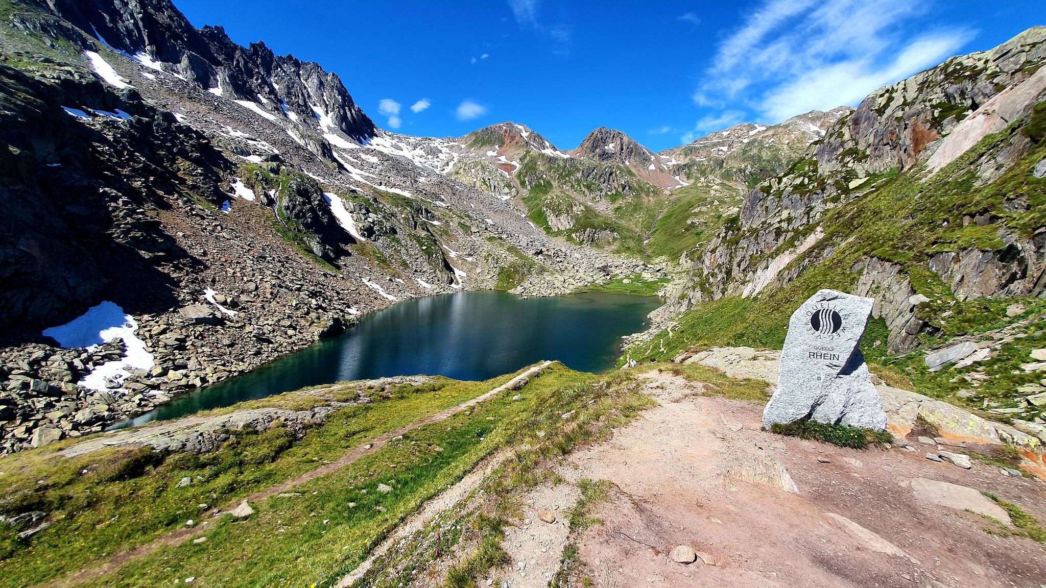
Four Springs Trail — Find flow in Switzerland's Gotthard Massif
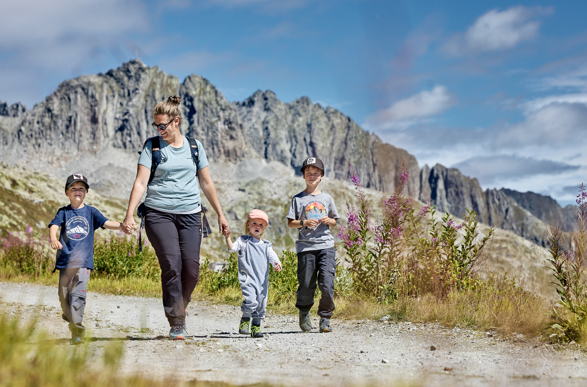
Mountain Playground – family adventures in Andermatt-Sedrun-Disentis
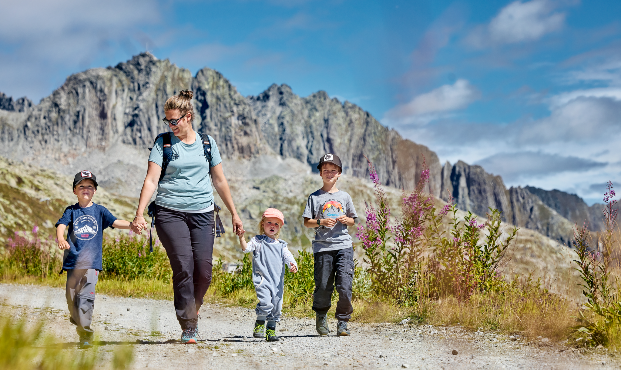
Mountain Playground – family adventures in Andermatt-Sedrun-Disentis
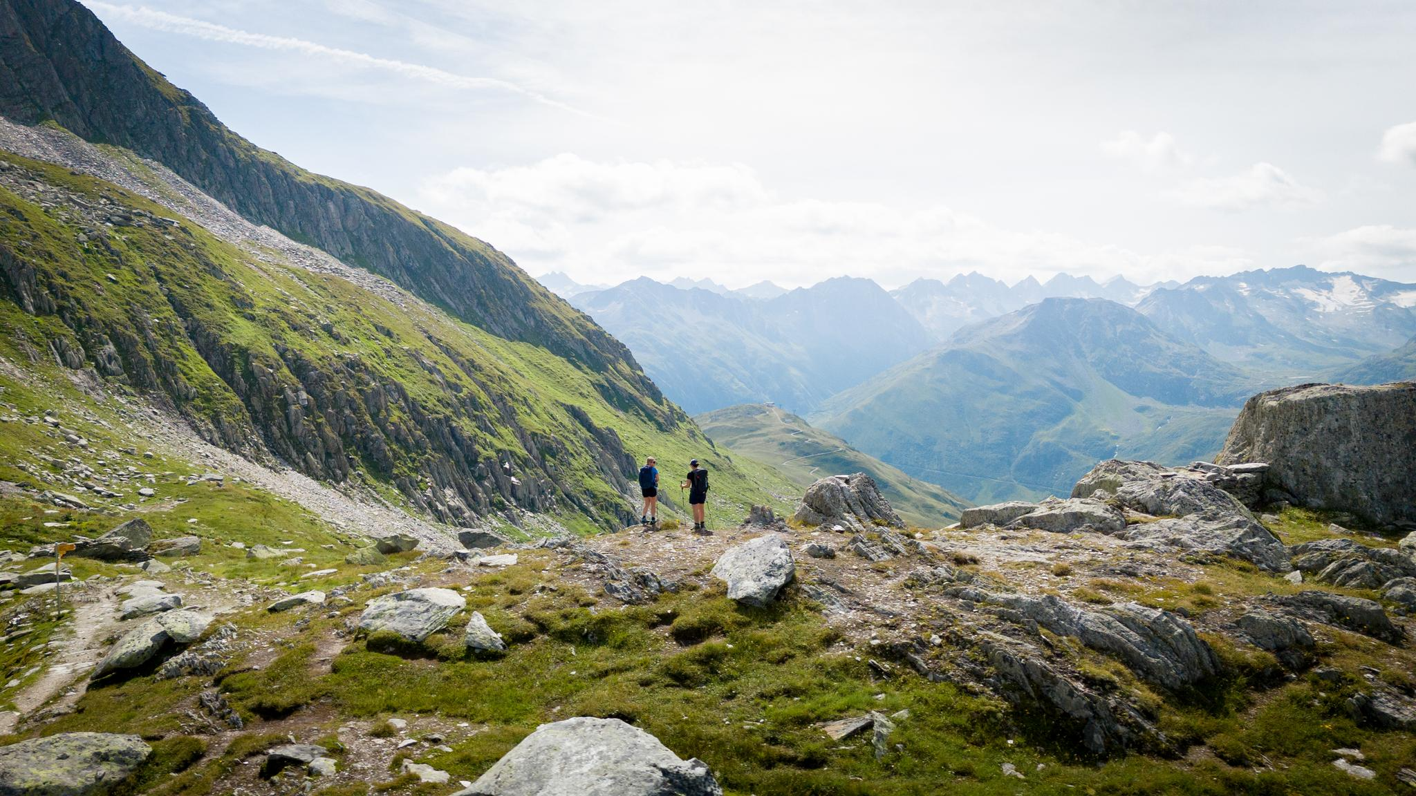
On the hunt for crystals and alpine lake magic – Gotthard Crystal Trek
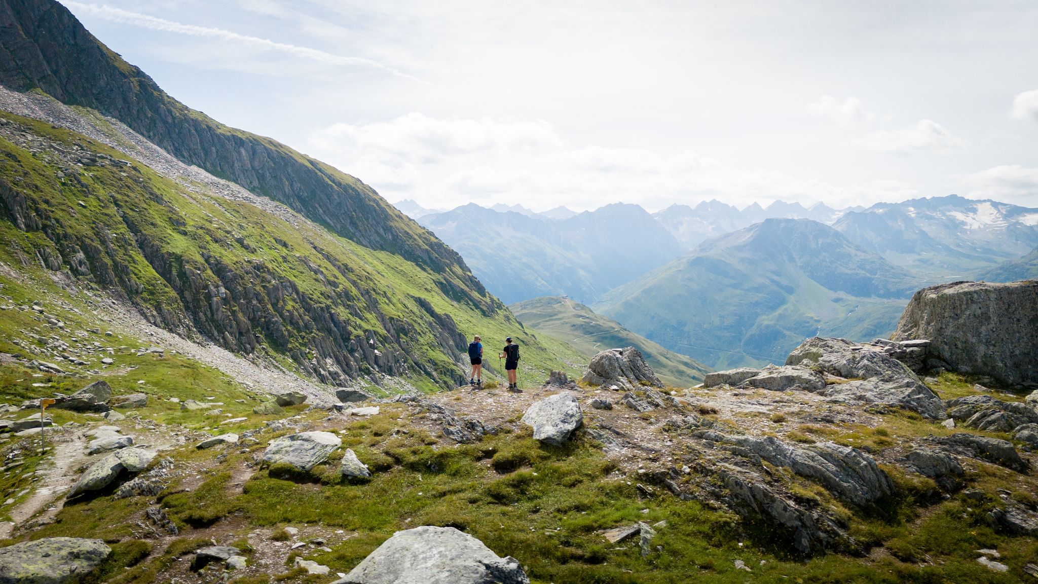
On the hunt for crystals and alpine lake magic – Gotthard Crystal Trek
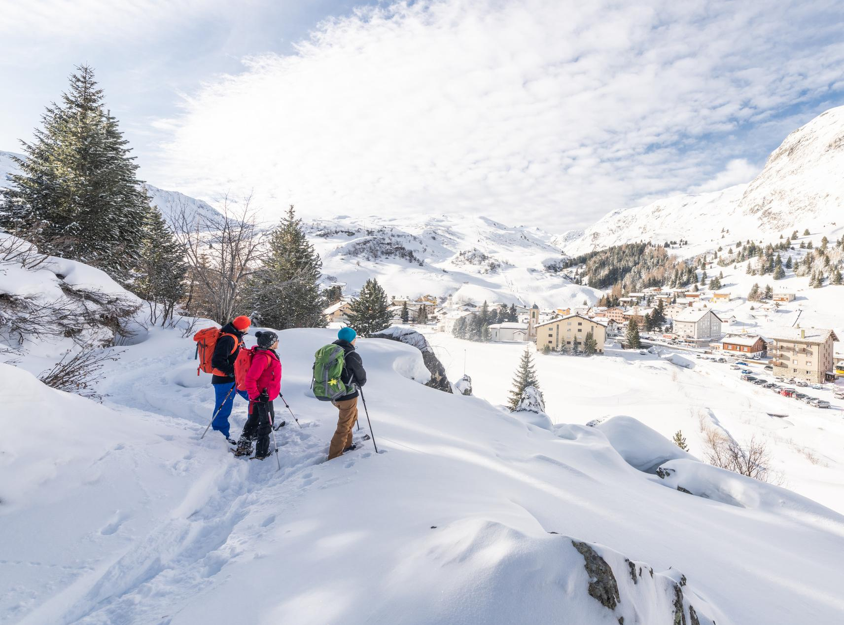
Snowshoe Safari – snowshoe trails through Graubünden
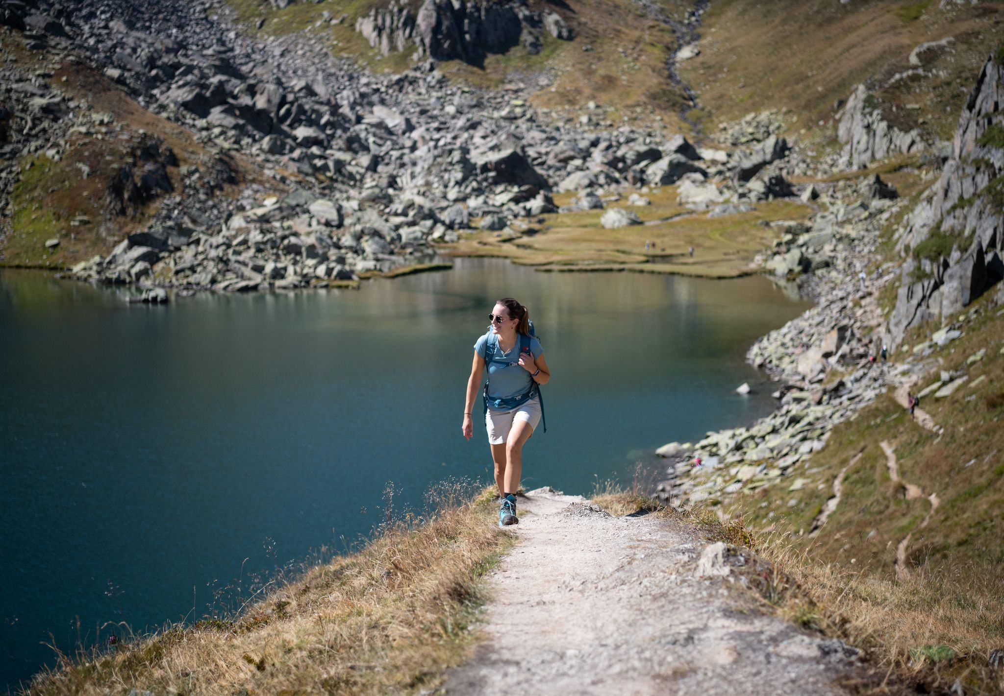
Varied hikes around the source of the mighty Rhine
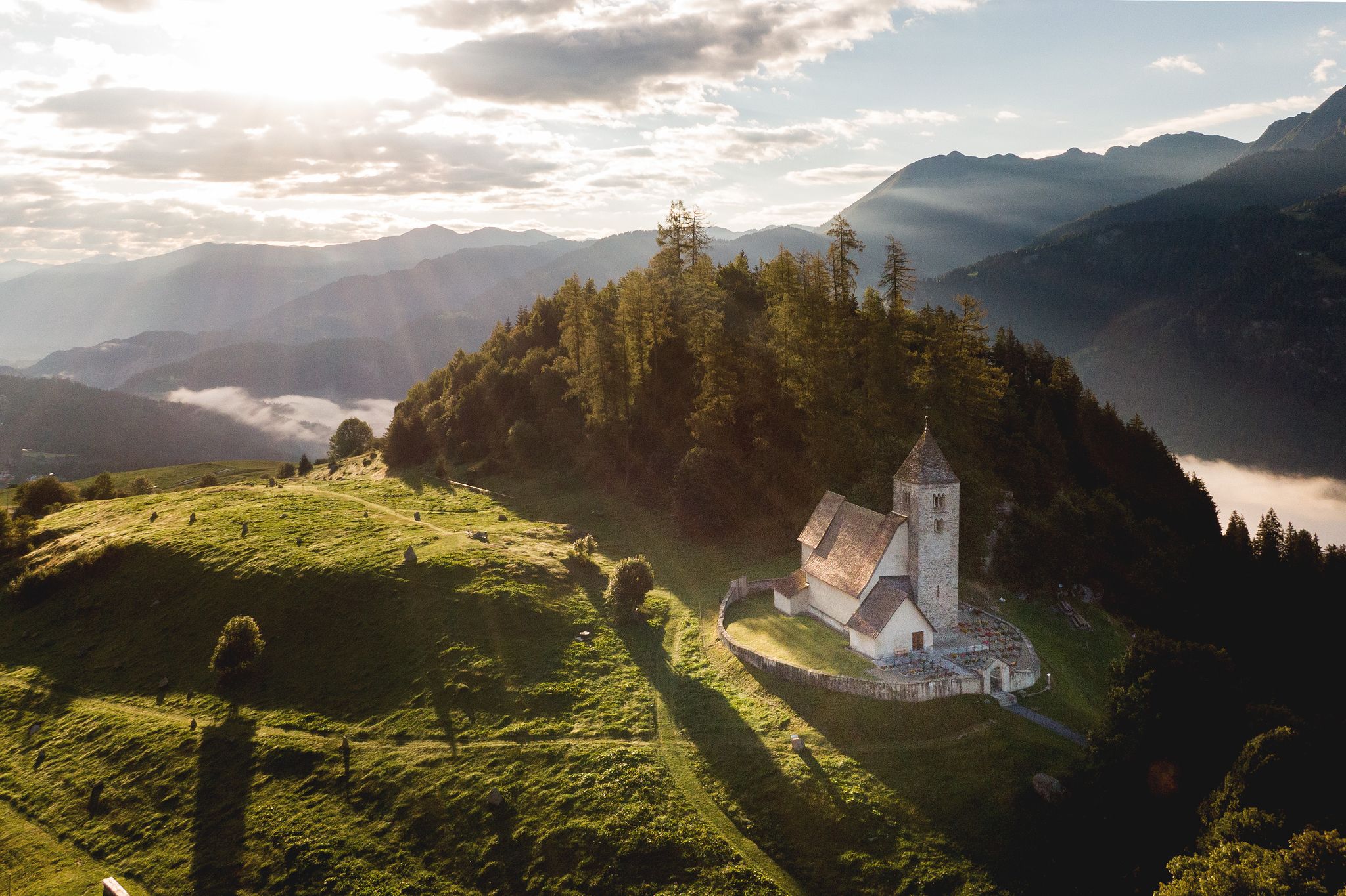
On ancient paths towards Santiago — the Way of St. James Graubünden
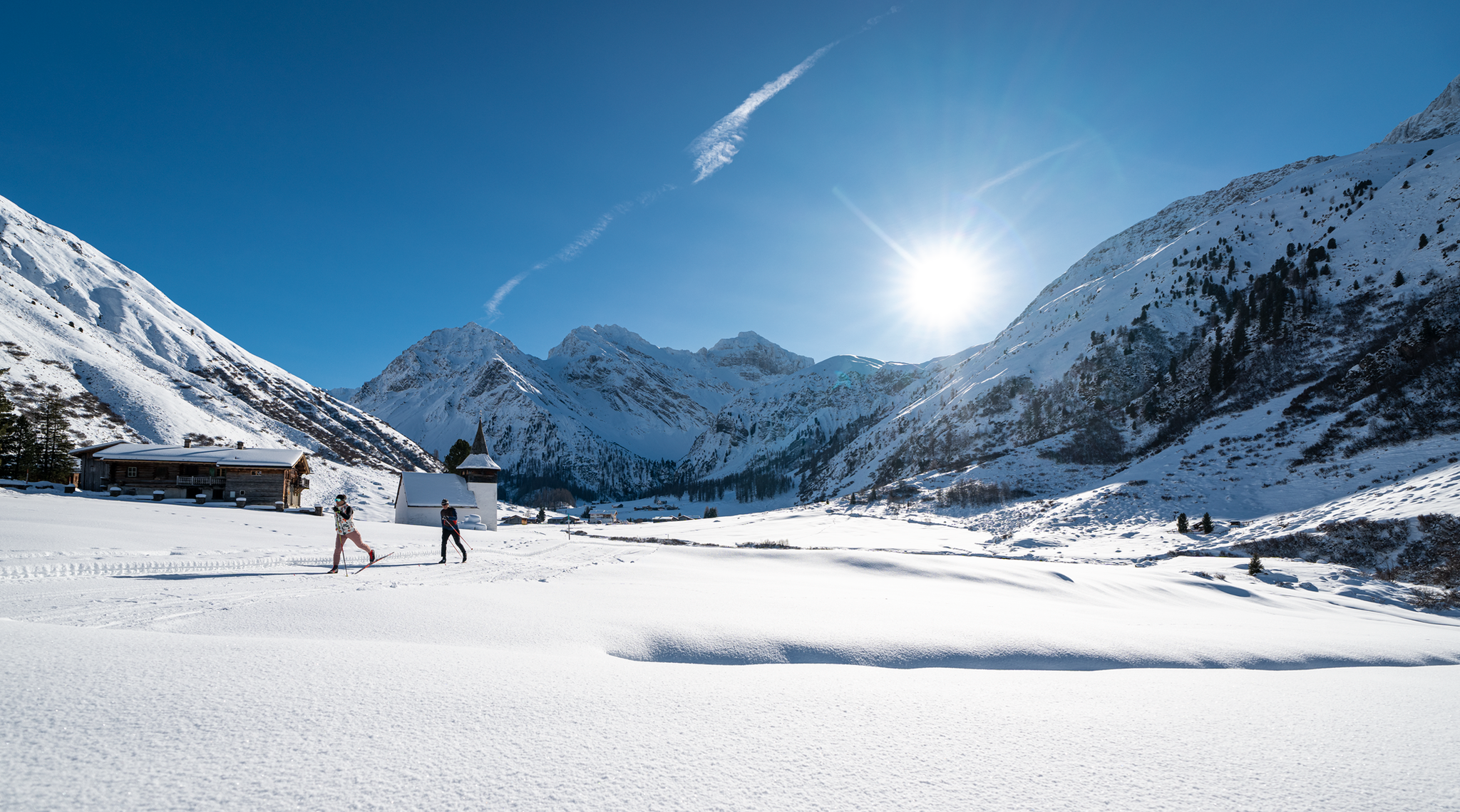
Cross-country ski trail safari in Grisons
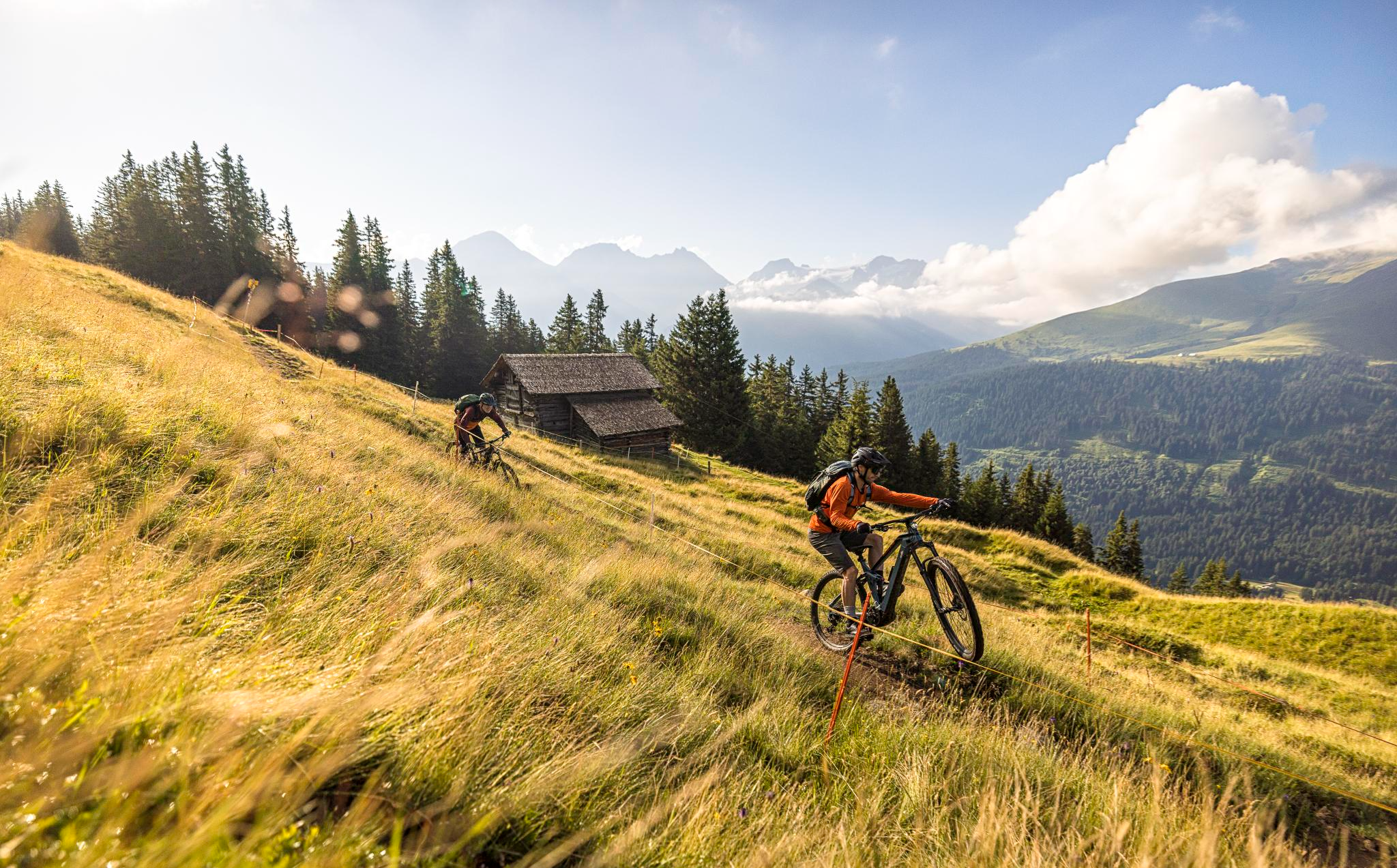
Flowy MTB trails with wonderful views – the best of Disentis Sedrun
Other adventures around Tujetsch


Tips from the Community

A lighthouse was erected here. It refers to the mouth of the Rhine in the Netherlands into the North Sea.
0
0

The lighthouse stands on the Oberalp Pass, the Tomasee (Lai da Tuma) is nearby (you can hike there and back on a new path) is the actual beginning of the Rhine.
1
0
A jewel from every perspective!
0
0

The Oberalpsee is located at an altitude of 2,028 meters directly on the Oberalp Pass between Uri and Graubünden. The clear mountain lake is the source of the Vorderrhein and a popular destination for hikers. Surrounded by alpine landscape, it invites you to linger, take photos, and enjoy the impressive mountain scenery.
7
0
The Fellilücke at 2,478 meters connects the Fellital in the canton of Uri with the Urserental. The scenic pass crossing leads through an impressive alpine landscape with streams, scree fields, and flower meadows. It is a popular destination for experienced mountain hikers and offers magnificent views.
8
0

ATTENTION Early summer 2026: Closure of this passage due to rockfall. The detour costs approx. 3h extra. Details and current status: https://www.andermatt-sedrun-disentis.ch/disentis-sedrun/de/tour/zur-rheinquelle-oberalppass-tomasee
0
0

Not the most inspiring rock but the views around it are great
0
0

This pretty, white church stands in the small hamlet of Acletta. It's worth a visit, as the altarpiece is very impressive. It was painted by the artist Carlo Francesco Nuvolone; brochures in the church provide further information.
0
0
Frequently Asked Questions
How many hiking trails are available in Tujetsch?
Tujetsch offers a wide variety of hiking experiences, with over 80 routes documented on komoot. These trails cater to all skill levels, from easy strolls to challenging mountain ascents, allowing you to explore the diverse Alpine scenery.
Are there easy or family-friendly hiking options in Tujetsch?
Yes, Tujetsch has numerous easy and family-friendly trails. The region offers panoramic routes around idyllic valleys with views of alpine meadows and picturesque villages. The Railroad viaduct near Bugnei – Bugnei Viaduct loop from Bugnei is a moderate option that is relatively flat and suitable for a relaxed outing.
What are some challenging hikes for experienced mountaineers in Tujetsch?
For experienced hikers, Tujetsch presents several demanding routes. The Alp Caschlé – Hexensee trail is a difficult 14.3 km route with significant elevation gain. Other challenging options include ascents to peaks like Piz Cavardiras or Piz Gannaretsch, which offer unparalleled views and solitary mountain experiences.
Can I find circular hiking routes in Tujetsch?
Yes, many trails in Tujetsch are designed as circular routes, allowing you to start and end at the same point. A popular example is the View of Oberalp Pass – Maighelshütte loop from Oberalppass, which takes you through the scenic Oberalp Pass area.
What natural attractions can I see while hiking in Tujetsch?
Tujetsch is rich in natural beauty. You can hike to the Source of the Rhine – Lai da Tuma, explore the dramatic Rhine Gorge, or visit serene alpine lakes like Madrisa Lake. The region also features impressive glacial formations and high mountain passes such as the Oberalp Pass.
Are there any caves or unique geological features to explore near Tujetsch?
Yes, the area around Tujetsch offers interesting geological features, including caves and rock formations. You can find highlights such as the Rock Shelter by Large Boulder or the Secret tunnel. The Gorge of Lucomagno is also a notable natural landmark.
What is the best time of year to go hiking in Tujetsch?
The best time for hiking in Tujetsch is typically from late spring to early autumn (June to October), when the alpine meadows are lush, and the weather is most favorable. During colder months, opportunities for snow hiking and glacier walks are available, but require appropriate gear and experience.
Are there mountain huts or places to rest along the trails?
Yes, Tujetsch's hiking network includes mountain huts that serve as excellent resting points or destinations. The Cadlimo Hut and the Badushütte are well-known examples, often providing refreshments and overnight stays. The View of Oberalp Pass – Badushütte SAC loop from Oberalppass is a route that leads directly to one of these huts.
What do other hikers say about the trails in Tujetsch?
The routes in Tujetsch are highly regarded by the komoot community, with an average rating of 4.6 stars from over 300 reviews. Hikers often praise the breathtaking Alpine scenery, the well-maintained paths, and the diverse options available for all fitness levels.
Is it possible to reach hiking trails in Tujetsch using public transport?
Yes, public transport is a viable option for accessing many hiking trails in Tujetsch. The Oberalp Pass, a significant starting point for numerous routes including sections of the Senda Sursilvana, is well-connected. It's advisable to check local bus and train schedules for specific trailheads.
Are there any trails suitable for dog owners in Tujetsch?
Many trails in Tujetsch are dog-friendly, allowing you to explore the beautiful landscapes with your canine companion. It's always recommended to keep dogs on a leash, especially in areas with livestock or protected wildlife, and to check specific trail regulations before you go.
Can I find wild swimming spots near hiking routes in Tujetsch?
While Tujetsch is known for its lakes, such as Madrisa Lake and Lake Toma, which are beautiful for photography and picnicking, specific designated wild swimming spots directly adjacent to hiking routes may vary. Always exercise caution and check local regulations regarding swimming in natural bodies of water.
Most popular routes around Tujetsch
Most popular attractions around Tujetsch

Get inspired with the komoot mobile app


Explore more
Browse the best Hikes in other regions.
