The best running trails around Chiusaforte
4.6
(114)
2,391
runners
16
runs
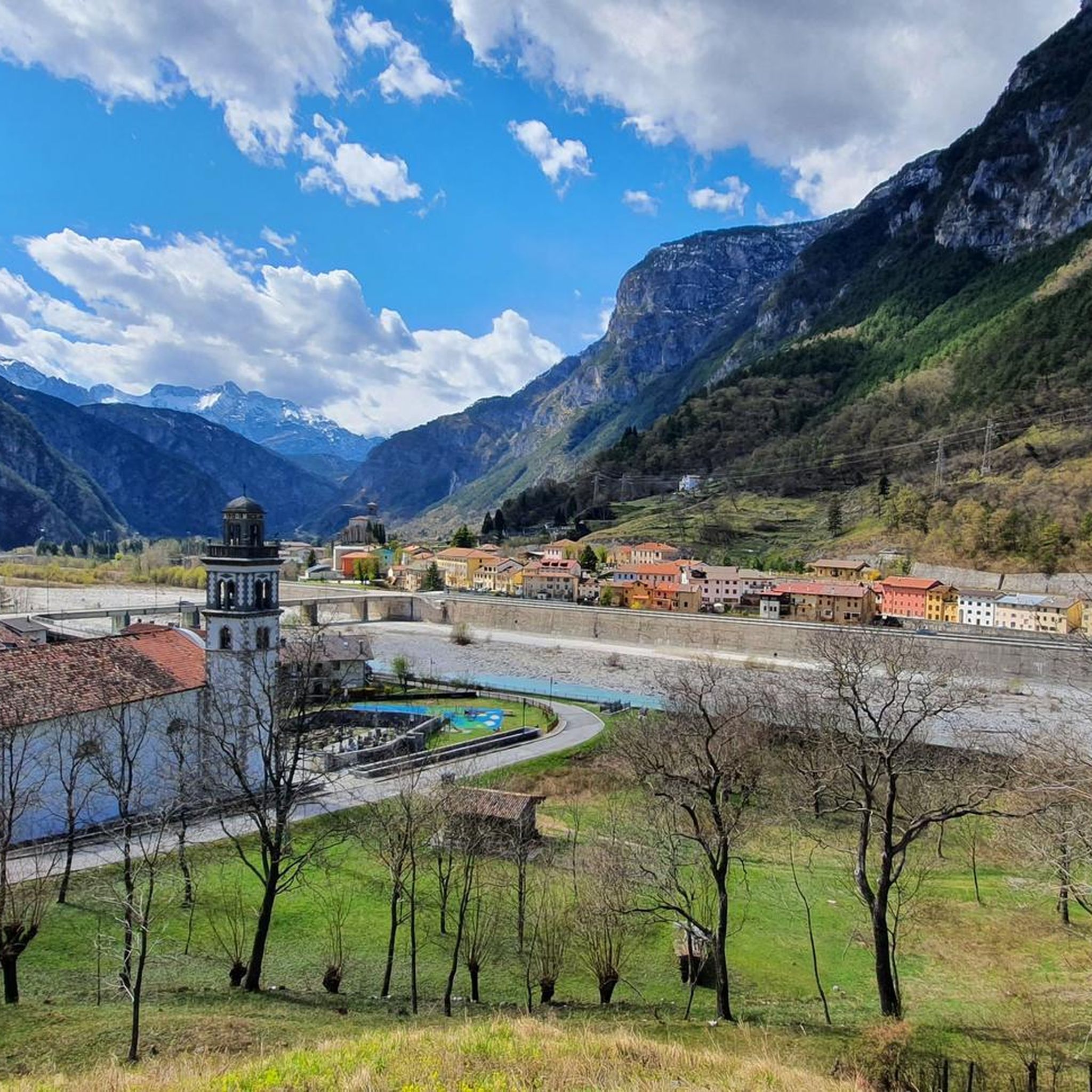
Jogging routes around Chiusaforte are set within the Fella Valley, offering diverse landscapes from river views to mountainous terrain. The region is an integral part of the Julian Pre-Alps Natural Park, characterized by varied elevation ranging from 370 meters at the valley floor to over 2,700 meters at mountain peaks. Runners can find paths along the Fella River and the Alpe Adria Cycle Path, which utilizes a decommissioned railway line. This area provides a mix of mostly paved, gentle gradients and more challenging mountain paths.
Best jogging routes around Chiusaforte
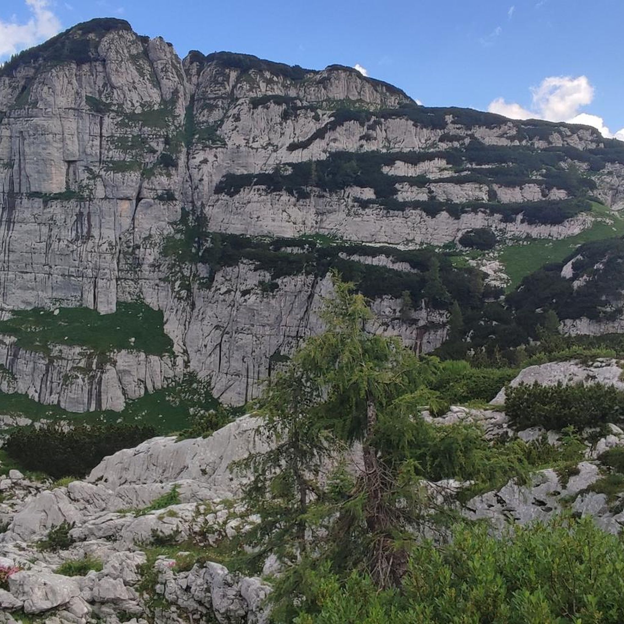
- The most popular jogging route is Bila Pec and Rifugio Gilberti Loop, a 12.4 miles (20.0 km) trail that takes about 4 hours 34 minutes to complete. This difficult route features significant elevation gain through alpine landscapes.
- Another top favourite among local runners is Passo degli Scalini, Malga Cragnedul and Rifugio Giacomo di Brazza — loop tour, a difficult 10.7 miles (17.2 km) path. This route offers views of the Julian Pre-Alps and passes by mountain huts.
- Local runners also love the Monte Plauris - ring tour in the Prealpi Giulie Regional Natural Park, a 14.7 miles (23.7 km) trail leading through the Julian Pre-Alps Natural Park, often completed in about 5 hours 40 minutes.
- Jogging around Chiusaforte is defined by the Fella River, the Julian Pre-Alps Natural Park, and the Alpe Adria Cycle Path. The network offers options for different ability levels, from accessible paths to challenging mountain ascents.
- The routes in Chiusaforte are highly rated by the komoot community with an average score of 4.4 stars from nearly 100 reviews. More than 2000 runners have used komoot to explore Chiusaforte's varied terrain.
Last updated: October 24, 2026
5.0
(1)
13
runners
20.0km
04:34
1,800m
1,800m
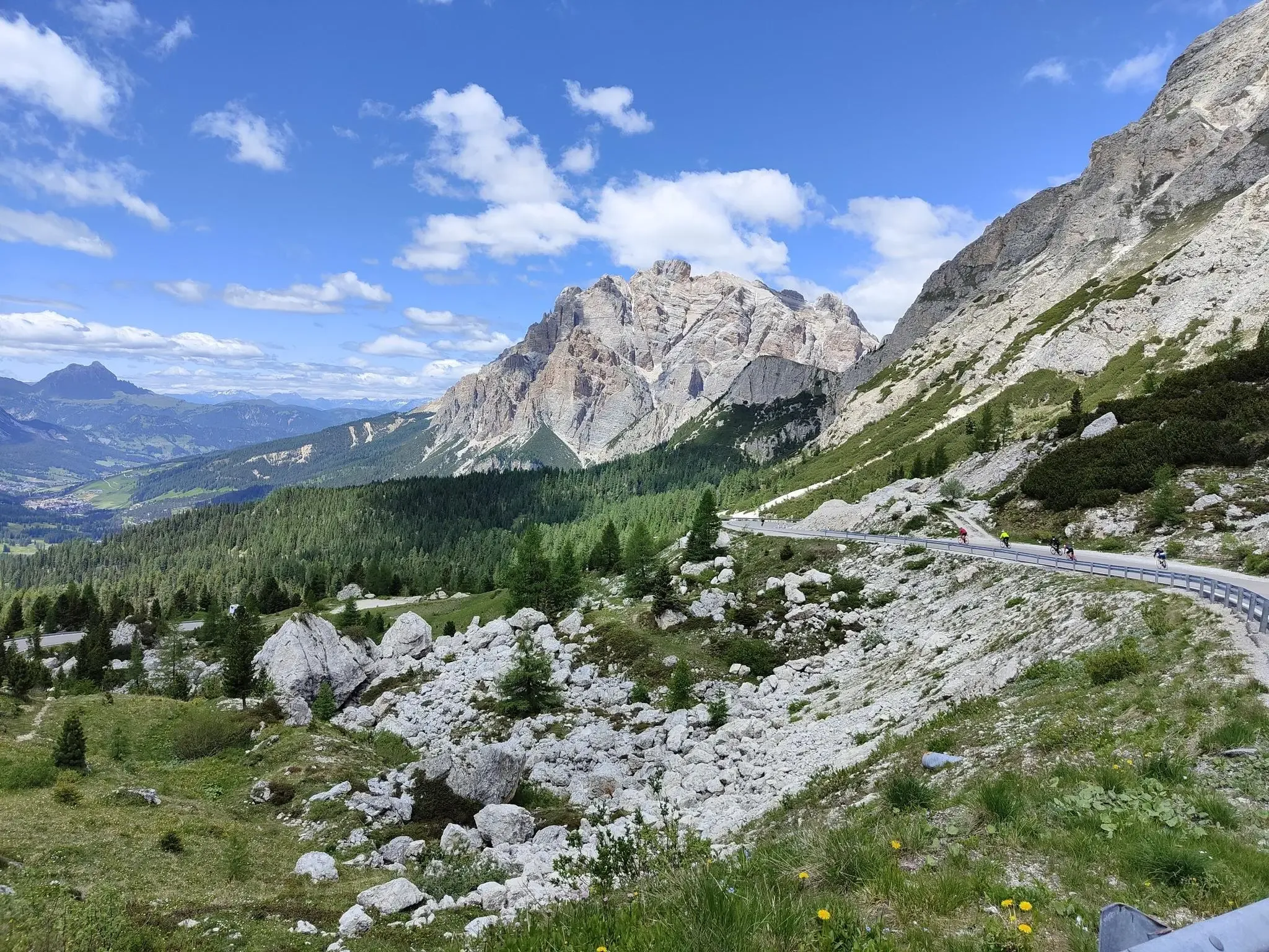
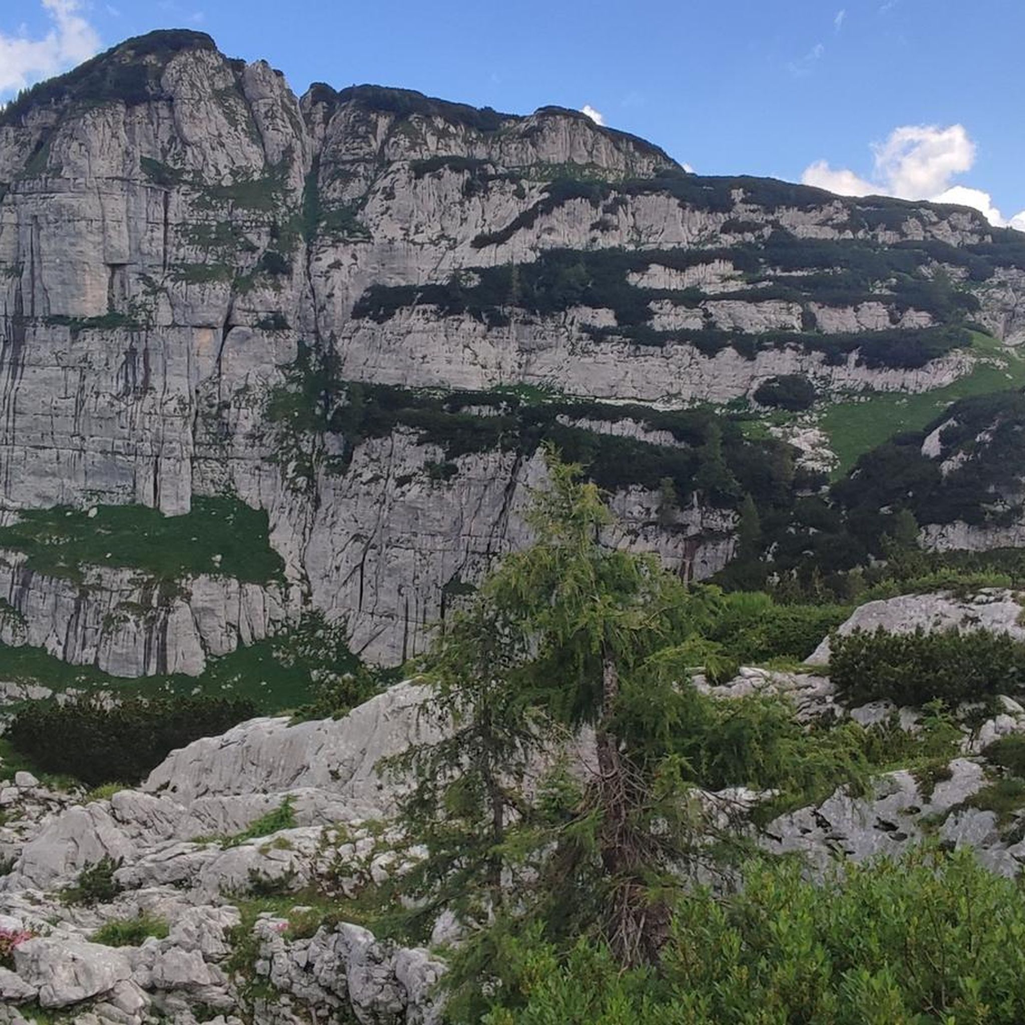
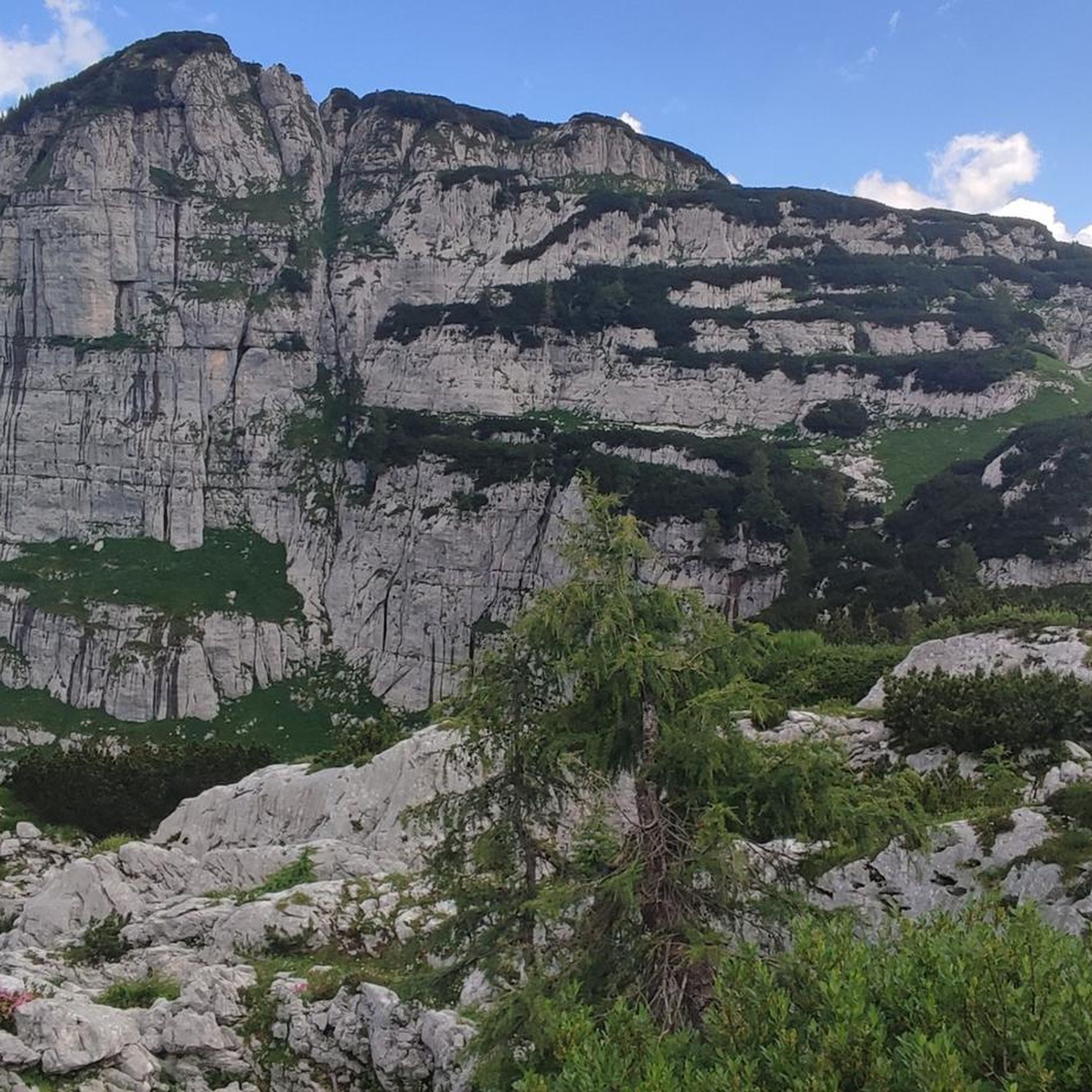
Prepare for a difficult jogging challenge on the Bila Pec and Rifugio Gilberti Loop, covering 12.4 miles (20.0 km) with a significant 5918 feet (1804 metres) of elevation gain. This route typically takes around 4 hours and 34 minutes to complete. You will experience varied terrain, from rocky paths to sections of a historic war mule track, all while enjoying panoramic vistas of the Julian Alps, including clear views of the Montasio and Jof Fuart mountain groups. Keep an eye out for the impressive Fontanone di Goriuda waterfall as you navigate the striking karst landscape.
Given the route's rocky and uneven terrain, sturdy trail running footwear is highly recommended to ensure your comfort and safety. While this trail is considered moderate for hiking, its substantial elevation gain makes it very challenging for jogging. Always check local conditions before you go, paying close attention to weather forecasts and trail accessibility to plan your visit effectively.
This loop offers more than just a physical test; it also provides a glimpse into history with the remnants of the Caserme del Poviz, World War I barracks. As you traverse the striking karst landscape, you might spot local wildlife such as ibex and chamois. The trail's unique blend of natural beauty and historical elements makes it a notable experience in the Julian Prealps Natural Park.
10
runners
17.2km
03:39
1,120m
1,120m
Embark on a difficult 10.7-mile (17.2 km) loop tour that takes you through varied alpine terrain, offering stunning panoramic views. This challenging route, with an elevation gain of 3675 feet (1120 metres), typically takes around 3 hours and 39 minutes to complete, though experienced hikers might take longer given its demanding nature. You will traverse natural, unpaved sections, some steep paths through woods, and even parts with rock faces, all while admiring the majestic mountains of the Canin and Jouf Fuart groups from Passo degli Scalini.
This demanding trail requires a very good level of fitness, sure-footedness, and alpine experience. Make sure you wear sturdy shoes and are prepared for significant elevation changes. While the route is generally considered a hard hike, not a typical jogging path, it promises a rewarding experience for those seeking a rigorous outdoor adventure. Plan your visit carefully, as some sections may require extra caution and experience.
Along the way, you can enjoy a pleasant break at Malga Cragnedul and find relaxation and typical Friulian cuisine at Rifugio Giacomo di Brazzà, nestled in greenery on the Montasio Plateau. The trail also offers a glimpse into history, as parts of the route follow traces of World War I paths, adding a unique historical dimension to your alpine journey.

43
runners
7.78km
01:34
640m
640m
Hard run. Very good fitness required. Sure-footedness, sturdy shoes and alpine experience required.
35
runners
10.1km
01:40
440m
440m
Hard run. Very good fitness required. Sure-footedness, sturdy shoes and alpine experience required.
33
runners
Hard run. Very good fitness required. Mostly paved surfaces.
Get access to more routes and recommendations from other explorers.
Already have an account?
Our route recommendations are based on thousands of hikes, rides, and runs completed by other people on komoot.
Start today with a free account
Your next adventure awaits.
Other adventures around Chiusaforte

Tips from the Community

Easily accessible from the road in about 5-10 minutes, either via the small waterfall below (turn-off before the left curve on the meadow) or via the forest (turn-off at the signpost). Don't be confused by the sign at the lower turn-off. It only points to the lower waterfall, but both - the upper, large waterfall and the lower waterfall - are accessible from here.
0
0

Hello! And welcome to the Julian Prealps Natural Park. To enjoy your experience to the fullest and with respect, we invite you to follow a few simple rules—they're our way of saying "thank you" to this extraordinary environment: - Bring home memories, not flowers: take all the photos you want, but leave plants, fossils, and any natural artifacts intact. - Dogs are welcome, but always on a leash: this way you protect the wildlife and themselves. - No wild camping: nature rests here at night, just like you! - Silence, the mountains speak: no loud music, shouting, or bright lights—let the sounds of the forest be your soundtrack. - Stay on the trail: walking off-trail damages delicate habitats. - Hunting is prohibited: animals live peacefully here, as they should everywhere. - Watch out for ticks: ticks are present throughout the Friuli Venezia Giulia region, so it's important to learn about prevention and protection techniques! Don't throw away your trash: everything you bring with you (snacks, bottles, tissues, etc.), take it home. The mountain is not a trash can. Nature thanks you! And if you need information, write to us at info@parcoprealpigiulie.it
1
0

July 2025 everything closed for work
0
0


The Rifugio Giacomo di Brazzà is located on the Montasio Plateau, in the Julian Alps. It offers typical Friulian cuisine and overnight accommodation, can be reached from Sella Nevea, and is the starting point for the Sentiero Attrezzato Ceria-Merlone. It is open from mid-June to the end of September, and to check the openings on weekends during the rest of the year, I recommend consulting the refuge page: https://www.facebook.com/rifugiodibrazza/
2
0

...a great tour with very trusting ibexes 👀📸
2
0
Frequently Asked Questions
What types of running routes can I find around Chiusaforte?
Chiusaforte offers a diverse range of running routes, from gentle paths along the Fella River and the Alpe Adria Cycle Path to more challenging mountain ascents within the Julian Pre-Alps Natural Park. You'll find a mix of mostly paved sections, gravel, and unpaved trails, catering to various fitness levels.
How many running routes are available around Chiusaforte, and what are their difficulty levels?
There are over 100 running routes around Chiusaforte. Approximately 11 are considered easy, 29 are moderate, and about 70 are difficult, offering options for every runner from beginners to experienced trail enthusiasts.
Are there any easy or family-friendly running routes in Chiusaforte?
Yes, for easier runs, the Alpe Adria Cycle Path is an excellent choice. It utilizes a decommissioned railway line, offering mostly paved surfaces and gentle gradients, making it suitable for relaxed long-distance jogging or shorter, accessible runs for families.
Can I find running routes that pass by waterfalls in Chiusaforte?
Absolutely! Chiusaforte is known as 'the town of the 13 waterfalls.' You can incorporate stunning natural spectacles like the Belepeit River Waterfall into your runs. The Belepeit Waterfall, with its three dramatic tiers, is particularly noteworthy and can be viewed from the Alpe Adria Cycleway Bridge.
What kind of scenery and natural features will I encounter on the running trails?
Runners in Chiusaforte will experience breathtaking scenery, including views of the Fella River, diverse landscapes of the Julian Pre-Alps Natural Park, and prominent peaks like Mount Canin and Jôf di Montasio. The routes often pass through rich vegetation, including beech, silver fir, spruce, and larch forests, with opportunities to spot alpine wildlife.
Are there any circular running routes in the Chiusaforte area?
Yes, there are several circular running routes. For example, the challenging Monte Plauris - ring tour in the Prealpi Giulie Regional Natural Park is a popular option, offering a substantial loop through alpine landscapes.
What do other runners enjoy most about jogging in Chiusaforte?
The running routes in Chiusaforte are highly rated by the komoot community, with an average score of 4.4 stars. Reviewers often praise the stunning natural beauty, the variety of terrain, and the immersive outdoor adventure offered by the Fella Valley and Julian Pre-Alps.
Are there any historical landmarks or attractions along the running routes?
Yes, Chiusaforte has historical significance. You can integrate sites like the Fortress of Chiusaforte (Colle Badin Fort) and remnants from World War I into your jogging routes, offering cultural enrichment alongside physical activity.
Is it possible to access running trails using public transport in Chiusaforte?
The Alpe Adria Cycle Path, which is excellent for jogging, passes through Chiusaforte. The old Chiusaforte station along this path has been redeveloped, suggesting accessibility. For specific public transport routes to trailheads, it's advisable to check local bus schedules.
Are there any running routes suitable for dogs in Chiusaforte?
Many trails in natural park areas are generally dog-friendly, provided dogs are kept on a leash and owners adhere to local regulations. The Alpe Adria Cycle Path, with its wide and mostly paved surface, is often a good option for running with a dog. Always check specific trail rules before heading out.
What is the best time of year to go running in Chiusaforte?
The diverse elevation in Chiusaforte means running is possible for much of the year. Spring and autumn offer pleasant temperatures for valley runs, while higher mountain trails are best enjoyed from late spring through early autumn when snow has melted. Winter can offer unique opportunities for snowshoe running on some trails, but conditions vary.
Are there any amenities like cafes or restaurants near the running trails?
Yes, the old Chiusaforte station along the Alpe Adria Cycle Path has been redeveloped into a bar/restaurant, offering a convenient stop for refreshments. Additionally, the region has mountain huts like Rifugio Gilberti and Rifugio Giacomo di Brazza, which can provide amenities on longer, more challenging routes.
Most popular routes around Chiusaforte
Most popular attractions around Chiusaforte

Get inspired with the komoot mobile app


Explore more
Browse the best Running Trails & Routes in other regions.
