The best walks and hikes around Bezirk Bregenz
4.6
(63073)
285,020
hikers
2,048
hikes
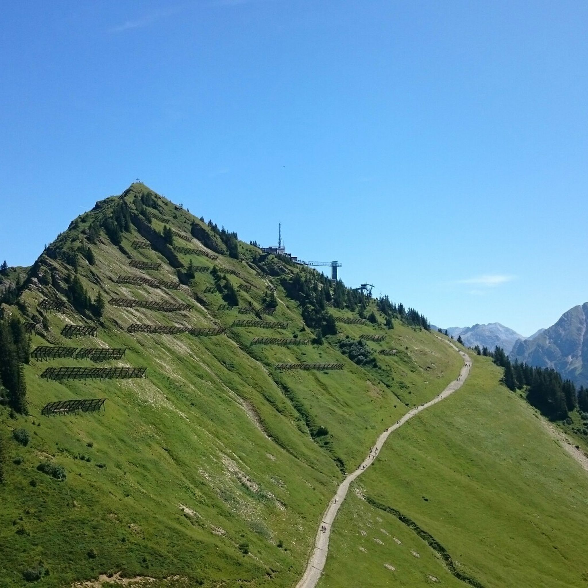
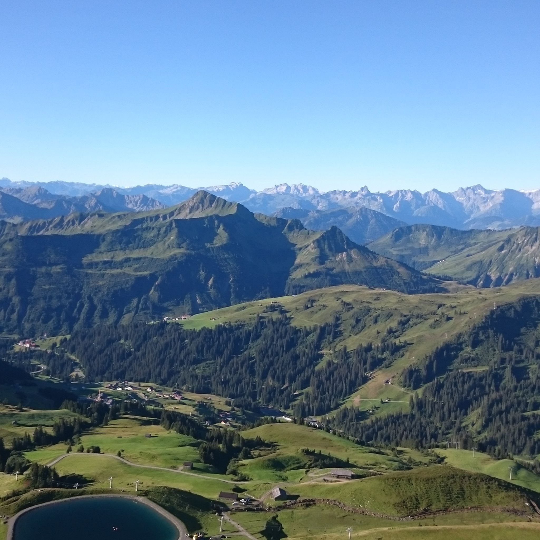
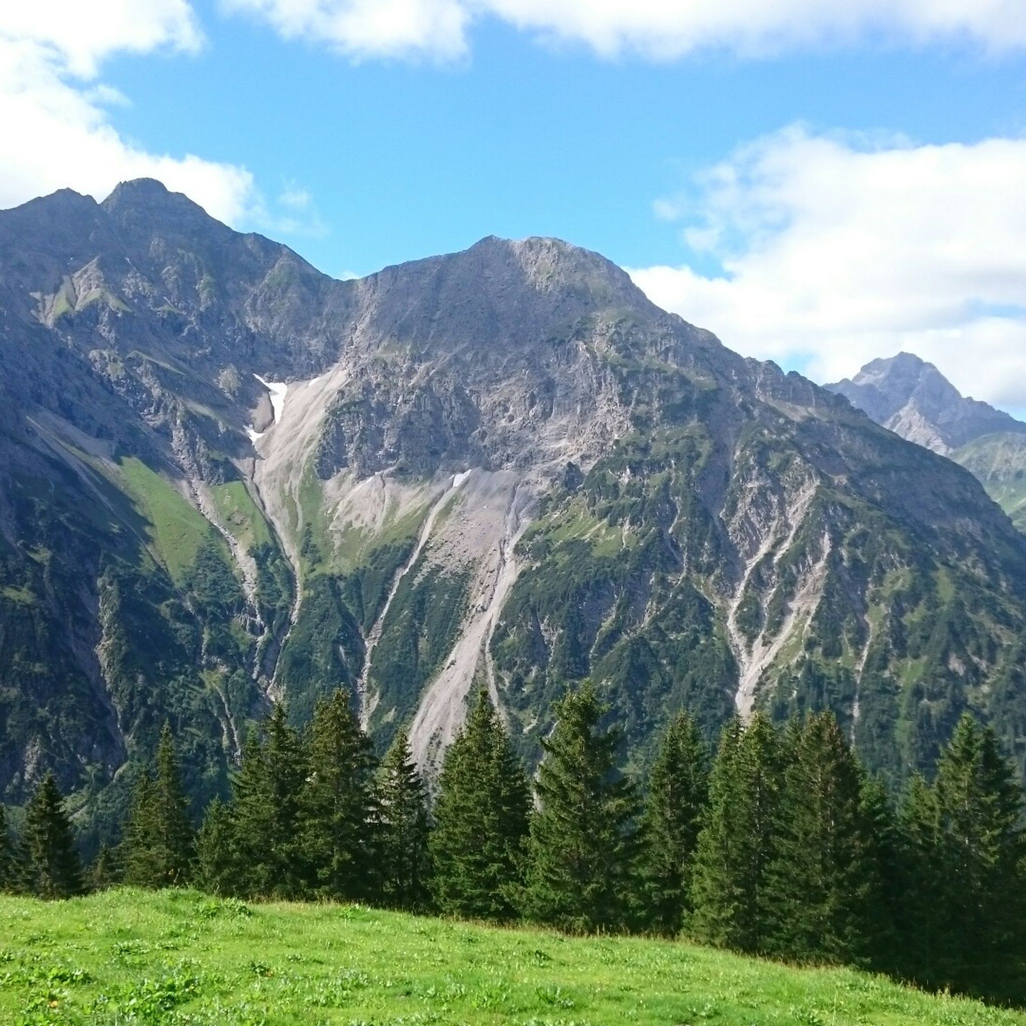
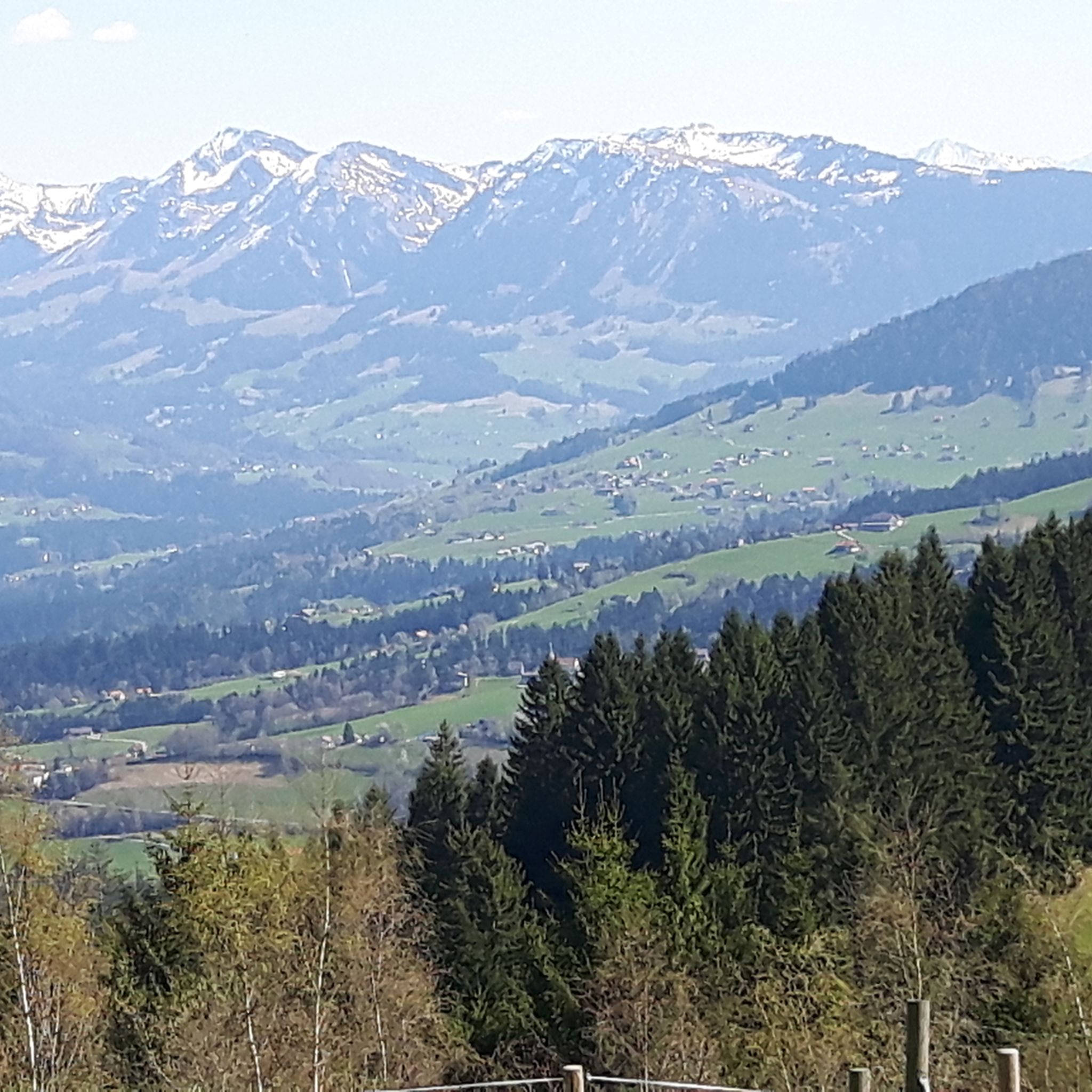
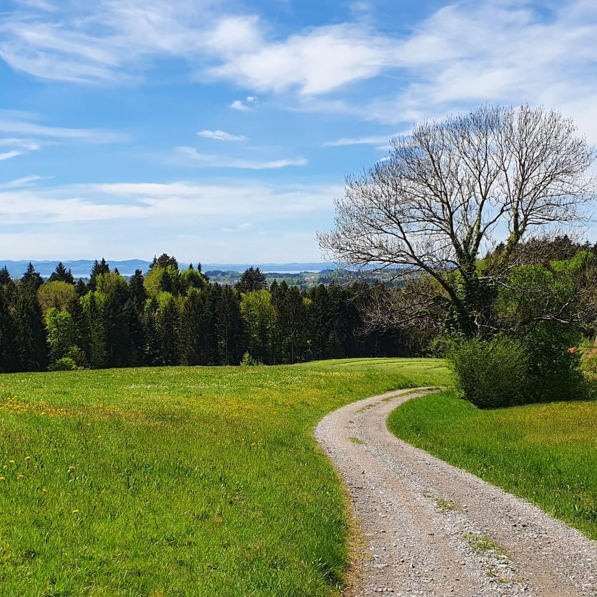
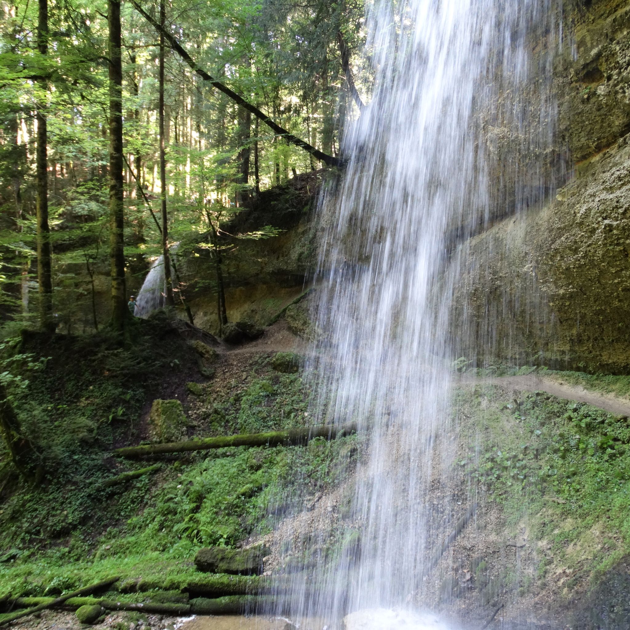
Hiking trails around Bezirk Bregenz traverse a diverse landscape characterized by grassy mountains, alpine meadows, and extensive forest networks. The region, encompassing the Bregenzerwald, features varied woodlands including bog, gorge, and continuous cover forests. Crystal-clear mountain lakes, high moors, and waterfalls are also prominent natural features. Lake Constance provides a contrasting element to the mountainous terrain, offering both lakeside and elevated views.
Best hiking trails around Bezirk Bregenz
- The most popular hiking route is Roaring water in the Breitachklamm,…
Last updated: August 10, 2026
4.8
(1727)
7,409
hikers
5.98km
01:51
220m
220m
Easy hike. Great for any fitness level. Easily-accessible paths. Suitable for all skill levels.
4.7
(990)
3,480
hikers
10.3km
03:49
510m
510m
Moderate hike. Good fitness required. Mostly accessible paths. Sure-footedness required.

Sign up for free
4.9
(1532)
5,853
hikers
16.3km
06:27
870m
880m
Hard hike. Very good fitness required. Mostly accessible paths. Sure-footedness required.
4.7
(1068)
3,976
hikers
4.86km
01:28
170m
170m
Easy hike. Great for any fitness level. Easily-accessible paths. Suitable for all skill levels.
4.8
(914)
3,376
hikers
8.35km
03:08
220m
780m
Moderate hike. Good fitness required. Mostly accessible paths. Sure-footedness required.
4.8
(716)
3,356
hikers
10.3km
03:29
370m
370m
Moderate hike. Good fitness required. Mostly accessible paths. Sure-footedness required.
4.8
(985)
3,472
hikers
5.82km
01:41
150m
150m
Easy hike. Great for any fitness level. Easily-accessible paths. Suitable for all skill levels.
4.8
(876)
3,179
hikers
Easy hike. Great for any fitness level. Easily-accessible paths. Suitable for all skill levels.
4.7
(687)
2,280
hikers
8.13km
03:24
570m
570m
Moderate hike. Good fitness required. Mostly accessible paths. Sure-footedness required.
4.8
(554)
2,532
hikers
9.51km
03:59
610m
610m
Hard hike. Good fitness required. Sure-footedness, sturdy shoes and alpine experience required.
Get access to more routes and recommendations from other explorers.
Sign up for free
Already have an account?
Our route recommendations are based on thousands of hikes, rides, and runs completed by other people on komoot.
Start today with a free account
Your next adventure awaits.
Login or Signup

Other adventures around Bezirk Bregenz


Tips from the Community

Great view and panorama with Murmlers
1
0

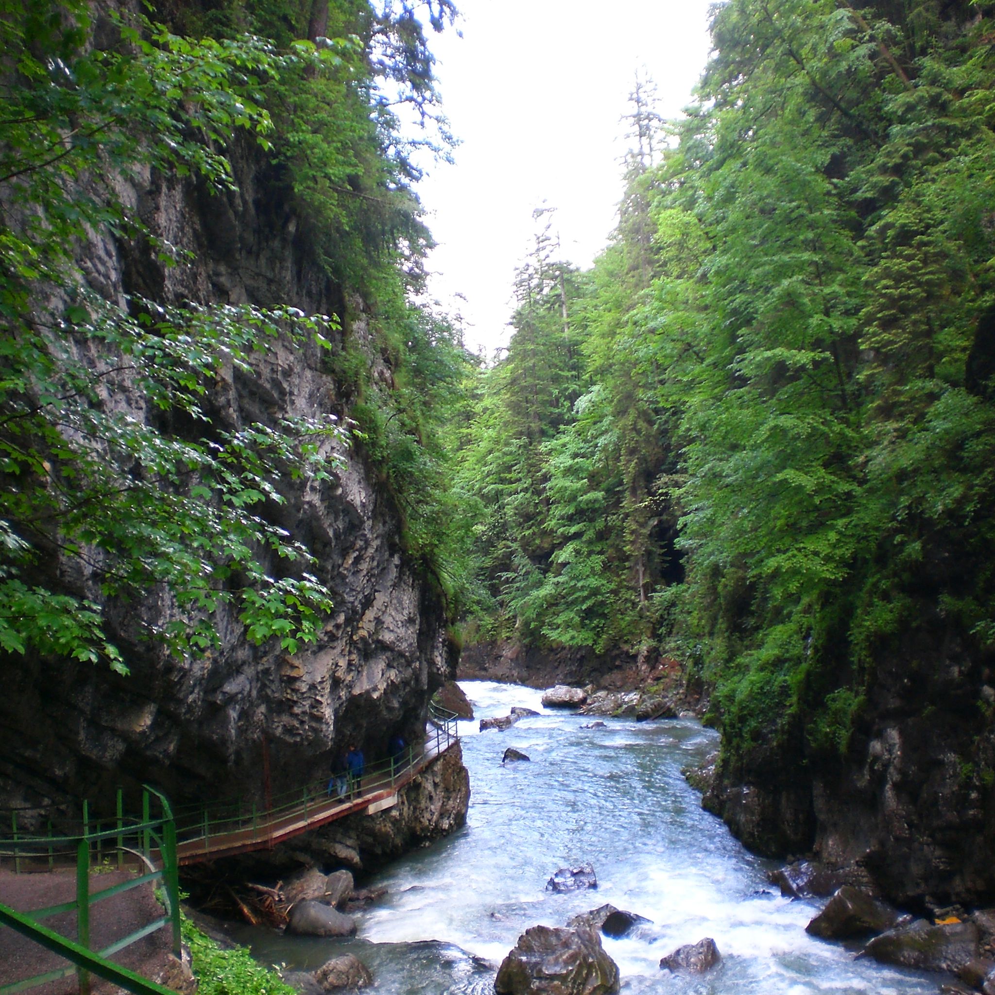
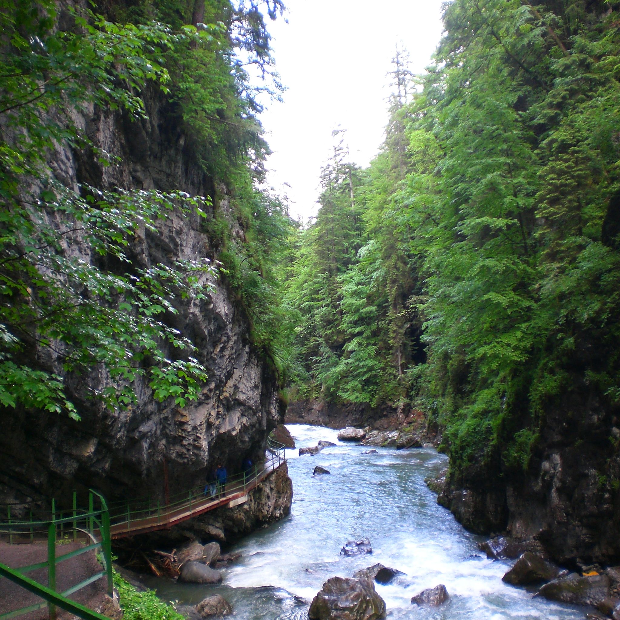
The Breitachklamm near Oberstdorf in the Allgäu region, with a depth of around 150 meters, is the deepest rocky gorge in Central Europe and has been officially named the "Natural Wonder of the Year 2025". The impressive geological site extends across the Tiefenbach district of Oberstdorf into the Austrian Kleinwalsertal valley. A well-secured, approximately 2.5-kilometer-long hiking trail leads directly past the roaring masses of water.
7
0

One of the most beautiful ridge hikes ever, the most beautiful section is between Fellhorn and Söllereck.
8
0

Start early in very nice weather.
0
0

⚠️ For anyone planning to take this route by mountain bike: We went from Warth to Mittelberg over the pass, which worked out fine… However, be prepared for hours of carrying your bike, which isn't entirely safe.
0
0

Simply a fantastic hike! Since I'm not afraid of heights, I was skeptical, but I had no problems! Two sections after the Fellhorn summit were secured with ropes, but they weren't dangerous. In dry conditions and with good footwear, I highly recommend it!
6
1

A very scenic tour in the Oberstdorf mountains.
3
0
Frequently Asked Questions
How many hiking trails are available in Bezirk Bregenz?
Bezirk Bregenz offers an extensive network of over 2,000 well-signposted hiking trails. These routes cater to all levels, with approximately 885 easy, 910 moderate, and 270 difficult options, ensuring there's a suitable path for every hiker.
What makes hiking in Bezirk Bregenz unique?
Hiking in Bezirk Bregenz is unique due to its diverse landscapes, ranging from grassy mountains and alpine meadows to varied forest ecosystems like bog and continuous cover forests. The region, particularly the Bregenzerwald, also features crystal-clear mountain lakes, high moors, and enchanting waterfalls. Additionally, themed trails like the Architecture Trail and Cheese Hiking Trail offer cultural insights alongside scenic beauty.
What do other hikers say about the trails in Bezirk Bregenz?
The trails in Bezirk Bregenz are highly rated by the komoot community, with an average score of 4.6 stars from over 56,000 reviews. More than 268,000 hikers have used komoot to explore the region, often praising the well-maintained paths, stunning panoramic views, and the diverse natural beauty.
Are there easy hiking trails suitable for beginners or families?
Yes, Bezirk Bregenz has numerous easy trails perfect for beginners and families. One popular option is Bärgunttal Loop – Kleinwalsertal, an easy 4.9 km route. Another great choice for families is The great naturalist adventure in Gemsteltal, which is 5.6 km long and designed to engage younger hikers.
Are there challenging hikes for experienced hikers in the region?
Absolutely. For experienced hikers seeking a challenge, Bezirk Bregenz offers difficult routes like Around the Widderstein — Kleinwalsertal for nature lovers, a demanding 16.3 km trail through alpine terrain. Another challenging option is Mellau: in ibex territory on the Kanisfluh, a 9.5 km route with significant elevation gain.
Which trails offer the best panoramic views in Bezirk Bregenz?
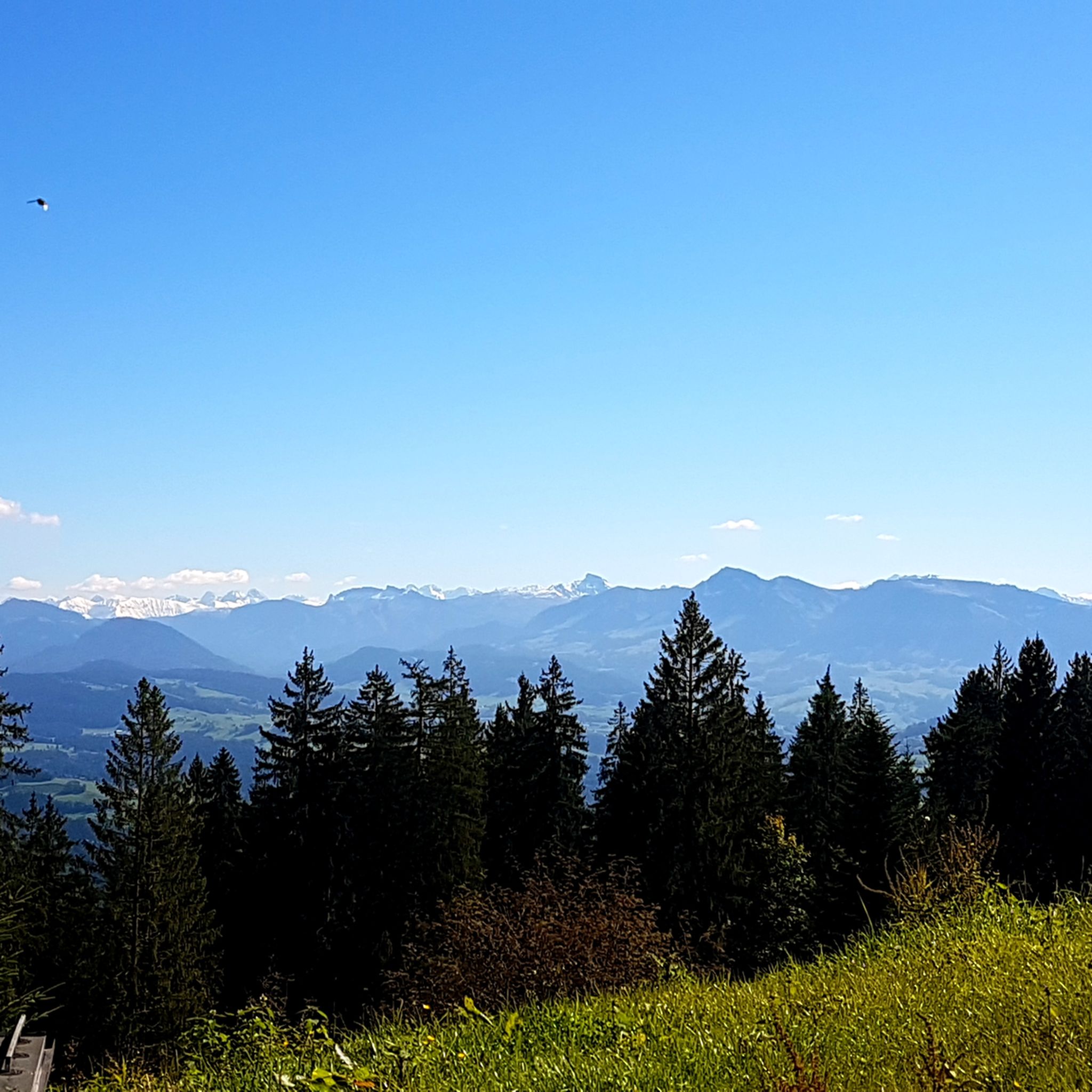
For breathtaking panoramic views, consider hiking around Pfänder Mountain, easily accessible by cable car from Bregenz. It offers stunning vistas of Lake Constance and over 240 Alpine peaks. The Ridge hike on the Fellhorn also provides expansive views across the Allgäu Alps from its ridge sections. You can also visit the Walmendingerhorn Viewing Platform for impressive scenery.
Are there any hikes with waterfalls in Bezirk Bregenz?
Yes, the region features enchanting waterfalls. The Fallbachtobel near Alberschwende and trails in Andelsbuch are known for their impressive water features. A popular route that highlights this is Roaring water in the Breitachklamm, an easy path leading through a dramatic gorge with powerful cascades.
Can I find circular hiking routes in the region?
Many trails in Bezirk Bregenz are designed as circular routes, allowing you to start and end at the same point. The Bärgunttal Loop and Gemsteltal Loop are good examples of easy circular paths. The Ridge hike on the Fellhorn is also a round trip, offering a moderate challenge.
What are some interesting places to explore near the hiking trails?
Beyond the trails, you can explore charming villages like Hittisau, Lingenau, Schwarzenberg, Bezau, Au, Mellau, and Damüls, which serve as excellent starting points and offer local amenities. For stunning views, take the Pfänderbahn Cable Car to the Pfänder Summit, which also hosts an Alpine Wildlife Park. Other notable peaks include Fellhorn Summit and Walmendinger Horn.
Is public transport available to reach hiking trailheads?
Yes, public transport is a viable option for reaching many trailheads in Bezirk Bregenz, especially within the Bregenzerwald region. The local bus network is well-developed and connects many villages, making it possible to access various starting points without a car. It's advisable to check local bus schedules for specific routes and times.
What is the best time of year to go hiking in Bezirk Bregenz?
The best time for hiking in Bezirk Bregenz is generally from late spring to early autumn (May to October). During these months, the weather is mild, alpine meadows are in bloom, and most trails are free of snow. Summer offers the warmest temperatures, while autumn provides stunning fall foliage. Some lower-altitude trails may also be accessible for winter hiking, but conditions can vary.
Are dogs allowed on hiking trails in Bezirk Bregenz?
Generally, dogs are welcome on hiking trails in Bezirk Bregenz. However, it's important to keep them on a leash, especially in nature reserves, near livestock, or in areas with wildlife. Always carry water for your dog and be prepared to clean up after them. Specific rules might apply to certain protected areas or cable cars, so it's good to check in advance if you plan to visit a particular attraction.
Most popular routes around Bezirk Bregenz
Most popular attractions around Bezirk Bregenz

Get inspired with the komoot mobile app


Didn’t find what you were looking for?
Check out more Hikes throughout Bezirk Bregenz below and find the perfect route in your destination.
Explore more
Browse the best Hikes in other regions.
