The best cycling routes around Fontainemore
4.6
(138)
2,737
riders
92
rides
Touring cycling around Fontainemore, located in Italy's Aosta Valley, offers routes through preserved rural landscapes and diverse natural features. The region is characterized by dramatic mountain scenery, including the Mont Mars Nature Reserve with its larch forests, alpine meadows, and lakes. Many routes feature significant elevation changes and are often on mostly paved surfaces, making them suitable for touring cyclists. The Lys stream flows through the village, adding to the picturesque environment.
Best touring cycling routes around Fontainemore
- The most…
Last updated: July 18, 2026
4.7
(3)
119
riders
41.1km
03:07
920m
920m
Hard bike ride. Very good fitness required. Mostly paved surfaces. Suitable for all skill levels.
5.0
(9)
184
riders
44.2km
03:35
1,310m
1,310m
Hard bike ride. Very good fitness required. Mostly paved surfaces. Suitable for all skill levels.

Sign up for free
5.0
(2)
29
riders
39.2km
02:46
760m
760m
Hard bike ride. Very good fitness required. Mostly paved surfaces. Suitable for all skill levels.
15
riders
30.5km
02:57
1,180m
1,180m
Hard bike ride. Very good fitness required. You may need to push your bike for some segments of this route.
13
riders
9.56km
00:48
300m
310m
Moderate bike ride. Good fitness required. Mostly paved surfaces. Suitable for all skill levels.
Get access to more routes and recommendations from other explorers.
Sign up for free
Already have an account?
Our route recommendations are based on thousands of hikes, rides, and runs completed by other people on komoot.
Start today with a free account
Your next adventure awaits.
Login or Signup
Popular around Fontainemore

Alta Via n. 1 of the Aosta Valley — a walk among Italian giants

GTA Central Piedmont – Dense forests, lakes and impressive waterfalls
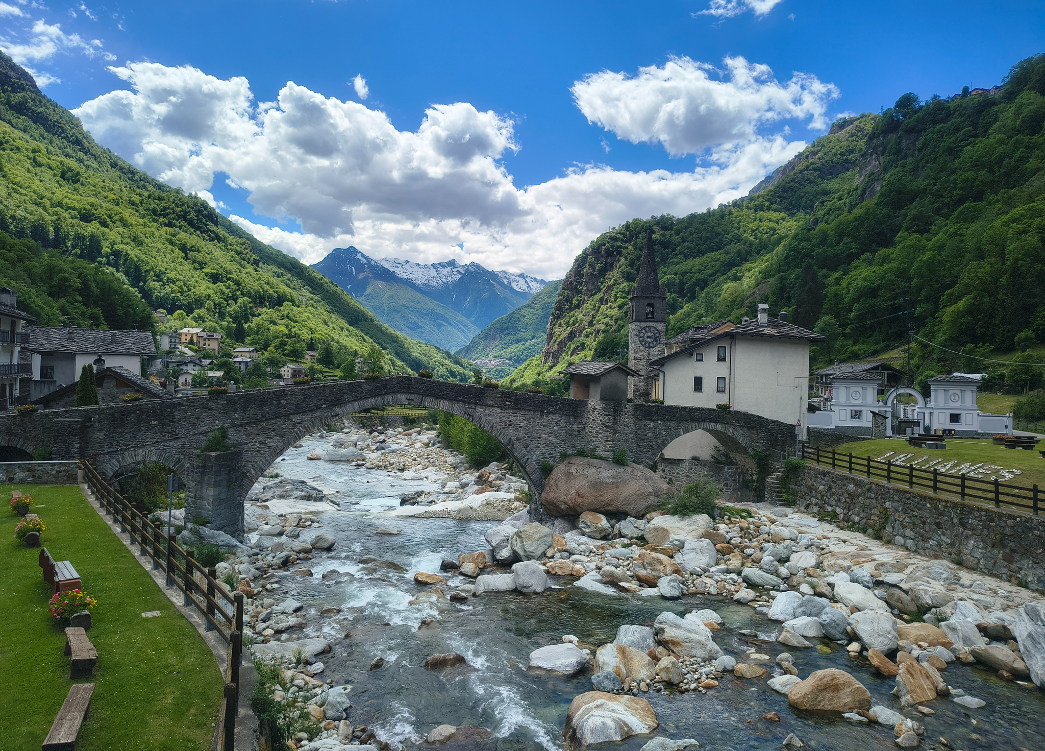
Three days on the Cammino Balteo – The historic Aosta Valley

Cammino Balteo – castles, vineyards and trails of the Aosta Valley

Paths, castles and views of Italy’s Aosta Valley – Cammino Balteo
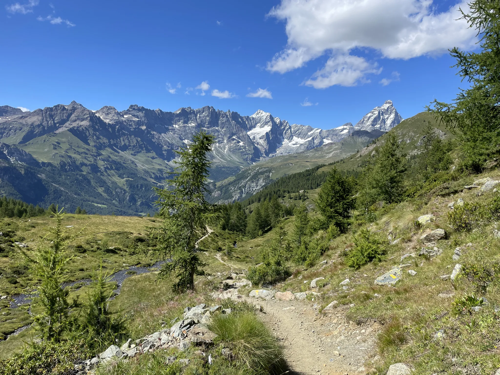
Running with the giants – Alta Via 1 in the Aosta Valley
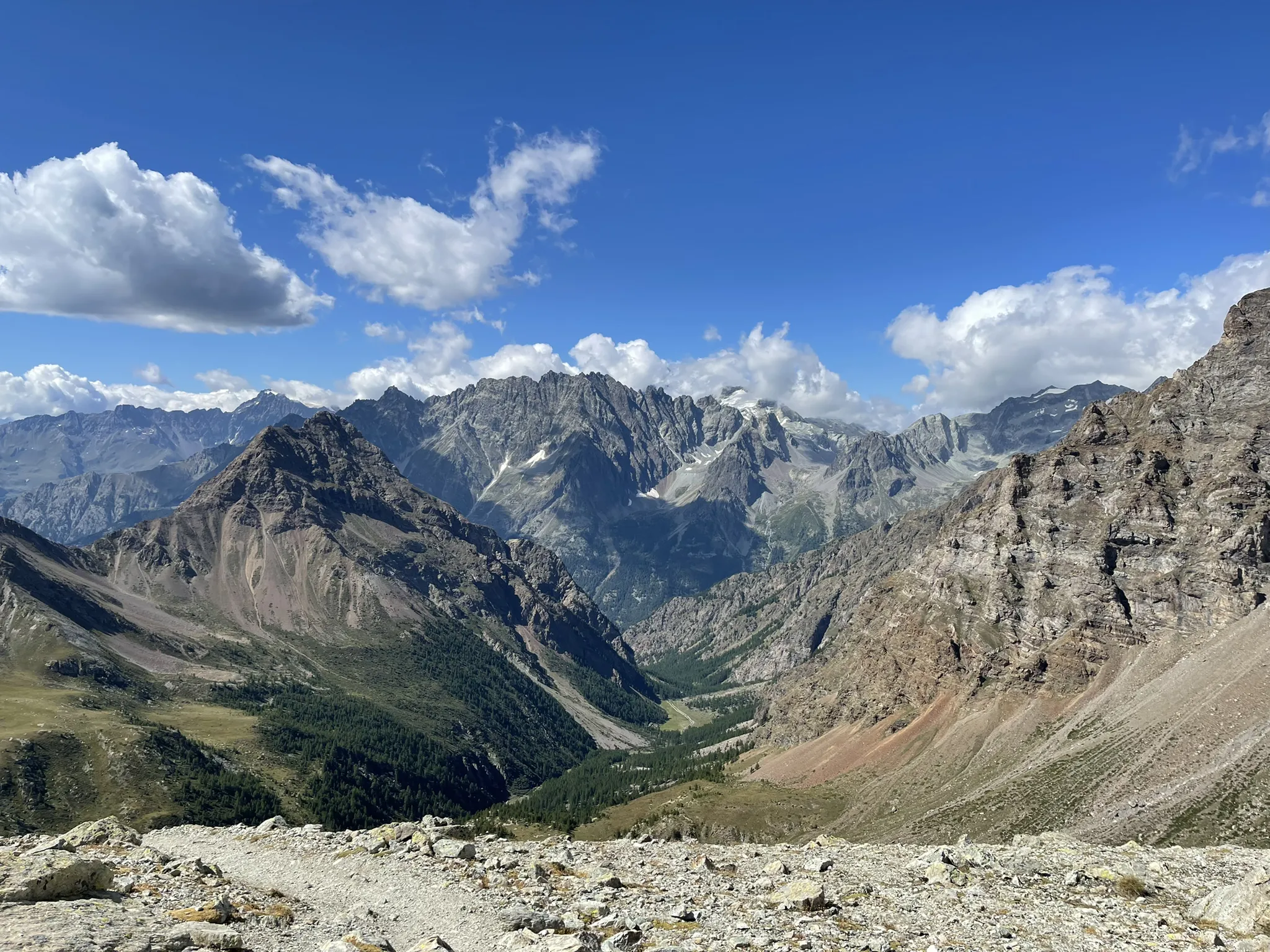
Running between the giants of the Alps – Tor des Géants

A walk among Italian giants — Aosta Valley High Route 1
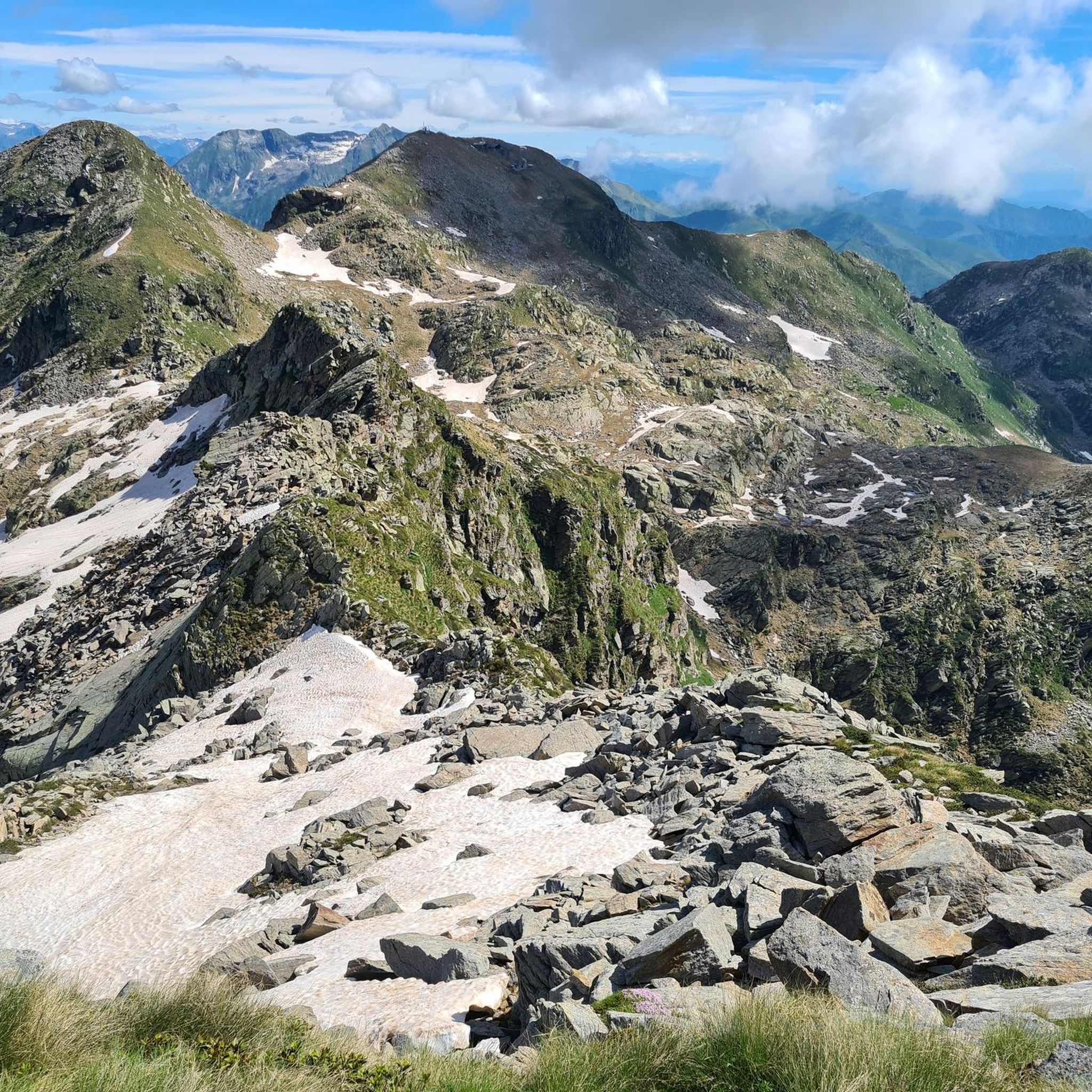
Hiking around Fontainemore
Road Cycling Routes around Fontainemore


Tips from the Community

access to the Galleria side Valle Cervo. Opens into Valle Oropa
0
0
Byzantine-style building that is part of the decorative constructions by architect Maffei located on the Galleria road, commissioned and financed by Senator Rosazza. We are at the end of the 19th century.
0
0

Made in May 2026, ascent from Oropa descent to Sagliano, wonderful work to fix the descent. ATTENTION, as obvious as it may seem, the tunnel is really VEERY DARK!! Equip yourself with a powerful light that helps you see well where you are going because there are sections with holes, especially if you are on a road bike. Otherwise, wonderful.
1
0

Thank you, I have requested a title change to correct my typo.
1
0

If you mean Giovanni Magnani, he was an important entrepreneur from Piedmont in the 19th century, born in San Paolo Cervo (today part of Campiglia Cervo, in the Biella area). He participated in major infrastructure works such as the Turin–Genoa railway, the Cavour Canal, and the works at the Military Arsenal of La Spezia. He was also mayor, benefactor, and financier of public works in his native valley.
15
0
Ospizio San Giovanni in the Campiglia Cervo area, it is the hamlet connected to the complex of the Sanctuary of San Giovanni d’Andorno, in the upper Valle Cervo, province of Biella.
10
0

The parish church of San Rocco, consecrated in 1661 in the center of Lillianes, is an example of 17th-century Alpine religious architecture built on a previous 15th-century chapel. The three-nave building with Baroque carved wooden altars is distinguished by its imposing stone bell tower that dominates the village near the Lys stream. The structure was the heart of community life, historically linked to the chestnut economy and livestock farming, serving as the main gathering point for the valley's population. A significant historical detail is the presence, in the immediate vicinity of the entrance, of a specific stone niche called Crierel. From this elevated position, the town crier or local authorities "shouted" resolutions, decrees, and sentences to the population gathered in the churchyard, ensuring the dissemination of rules in an era of low literacy. This custom transformed the area in front of the church into an operational public forum, where civil power officially manifested itself to manage the daily life of the village.
0
0
The stone bridge of Lillianes, completed in 1733, represents a hydraulic work of exceptional value for the Lys Valley, being the only historic bridge in the region structured on four round arches. The choice of this configuration, supported by robust piers equipped with cut-water spurs, was dictated by the need to span a section of the Lys stream particularly subject to violent floods. The roadway, made with a characteristic donkey-back shape in local stone, hosts a votive shrine dedicated to Saint Roch in the center, historically placed to protect travelers against pestilences. A relevant anecdote concerns the complex financing of the work: the local community, in order not to depend exclusively on central subsidies, chose to heavily tax themselves through the "taglioni" system, a form of mandatory contribution based on land ownership. It is said that the families of the village contributed not only with money but also by providing labor and materials, as the bridge was considered vital for the economy linked to the chestnut trade and transhumance. Another curious detail concerns its incredible resistance: during past floods, while other wooden or lighter structures were swept away, the bridge of Lillianes remained intact, consolidating its fame as an indestructible monument and a symbol of unity for the entire valley population.
0
0
Frequently Asked Questions
How many touring cycling routes are available around Fontainemore?
There are over 70 touring cycling routes documented around Fontainemore. These routes cater to various skill levels, with a significant number offering challenging experiences through the region's dramatic mountain scenery.
What is the general difficulty level of touring cycling routes in Fontainemore?
The routes around Fontainemore offer a range of difficulties. While there are 8 easy and 18 moderate routes, the majority, 46 routes, are classified as difficult. This means many paths feature significant elevation changes and require good fitness, often on mostly paved surfaces.
What do other touring cyclists say about the routes in Fontainemore?
The touring cycling routes in Fontainemore are highly rated by the komoot community, with an average score of 4.4 stars from over 90 reviews. Cyclists often praise the dramatic mountain scenery, the diverse natural features, and the blend of challenging climbs with picturesque traditional villages.
What kind of terrain can I expect on touring cycling routes in Fontainemore?
You can expect diverse terrain, primarily on mostly paved surfaces, which is ideal for touring cyclists. Routes often traverse vast larch forests, alpine meadows, and pass by lakes and streams within the Mont Mars Nature Reserve. Some older mule tracks might also be encountered, offering a mix of surfaces.
Are there any routes that offer significant elevation challenges?
Yes, many routes in Fontainemore feature significant elevation changes, with some climbs reaching 1500 feet or more. For example, the difficult route Oropa Sanctuary – Pantani mountain - climb of Oropa loop from Oropa includes over 750 meters of ascent, providing challenging climbs and panoramic mountain views.
Can I find circular touring cycling routes in Fontainemore?
Yes, many touring cycling routes in the area are designed as loops, allowing you to start and end in the same location. An example is the Balma Quarries Park – Bottalino Fountain loop from Piedicavallo, which traverses diverse landscapes including quarries and natural springs.
What natural features can I explore along the touring cycling routes?
The region is rich in natural beauty. You can explore the Mont Mars Nature Reserve with its larch forests, alpine meadows, and lakes like Lake Vargno and Barma Lake. The Lys stream flows through the village, and you might encounter the historic Guillemore Bridge overlooking a deep gorge, as seen on the Orrido di Guillemore – Savoia Castle loop from Issime route.
Are there any historical or cultural landmarks to see while cycling?
Absolutely. Fontainemore and its surroundings are dotted with traditional villages, frescoed chapels, and ancient mule tracks. You can cycle past landmarks like the Fort Bard or the Castello Vallaise. The Monumental Cemetery of Oropa – Oropa Sanctuary loop from Oropa also leads through historic landmarks and scenic alpine roads.
Are there family-friendly touring cycling routes in Fontainemore?
While many routes are challenging, there are 8 easy and 18 moderate routes that could be suitable for families, depending on their experience and the children's ages. These routes often feature less elevation gain and are predominantly on paved surfaces, making them more accessible.
What is the best time of year for touring cycling in Fontainemore?
The best time to cycle in Fontainemore is typically from spring through autumn when the weather is milder and the alpine landscapes are most vibrant. Summer offers warm temperatures, while spring and autumn provide pleasant conditions with fewer crowds and beautiful foliage. Winter cycling is generally limited due to snow and colder temperatures at higher elevations.
Are there viewpoints or panoramic platforms along the cycling routes?
Yes, the dramatic mountain scenery of Fontainemore ensures many routes offer stunning viewpoints. For instance, the Panoramic Platform – Bocchetto Sessera Pass loop from Piedicavallo is designed to take you past a panoramic platform, offering expansive views of the surrounding alpine landscape.
Is there public transport available to access cycling routes in Fontainemore?
Fontainemore is located in the Lys Valley, which has some public transport connections within the Aosta Valley. While specific routes might require a car for the starting point, local buses often connect villages, which could be useful for accessing certain areas or for return journeys after longer rides. It's advisable to check local bus schedules for specific routes and bike transport options.
Are there any specific places to explore or visit near the cycling routes?
Beyond the routes themselves, you can visit the Mid-mountain Ecomuseum in Pra dou Sas, a preserved village showcasing local rural culture. The Visitors Centre of the Mont Mars Nature Reserve also provides information on the protected area and potential excursions, making it a useful stop for planning your exploration.
Most popular routes around Fontainemore
Most popular attractions around Fontainemore

Get inspired with the komoot mobile app


Explore more
Browse the best Cycling routes in other regions.
