The best walks and hikes in Saale-Orla-Kreis
4.6
(15457)
47,772
hikers
2,006
hikes
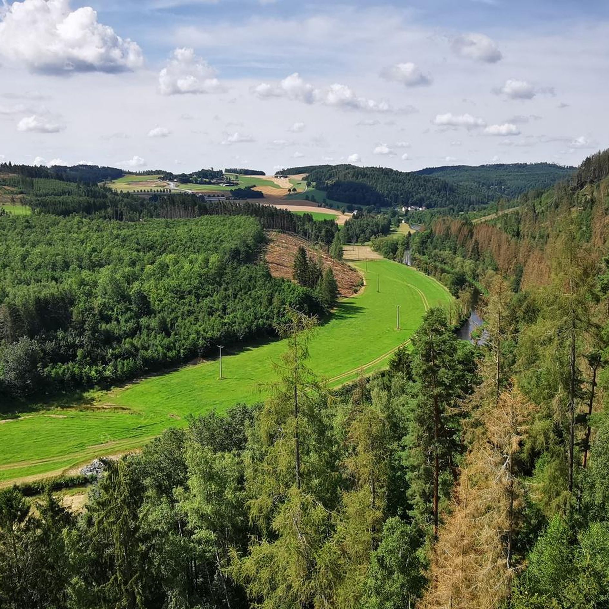
Hiking in Saale-Orla-Kreis offers diverse terrain across the southeastern edge of Thuringia, characterized by varied landscapes. The region features dense forests, lush meadows, and significant river valleys carved by the Saale and Orla rivers. Hikers encounter impressive rock formations, including ancient Zechstein reefs, and the expansive reservoir landscape known as the "Thuringian Sea," formed by the Bleiloch and Hohenwarte Reservoirs. This area provides a mix of riverside paths and elevated sections within the Thuringian Slate Mountains/Upper Saale Nature Park.
Best…
Last updated: October 4, 2026
4.8
(412)
1,215
hikers
8.56km
02:12
40m
40m
Moderate hike. Good fitness required. Mostly accessible paths. Sure-footedness required.
4.7
(42)
117
hikers
3.05km
00:50
50m
50m
Easy hike. Great for any fitness level. Easily-accessible paths. Suitable for all skill levels.

4.8
(859)
2,615
hikers
Moderate hike. Good fitness required. Easily-accessible paths. Suitable for all skill levels.
4.8
(52)
164
hikers
7.70km
02:11
170m
180m
Moderate hike. Good fitness required. Easily-accessible paths. Suitable for all skill levels.
4.9
(36)
135
hikers
2.05km
00:35
40m
40m
Moderate hike. Great for any fitness level. Mostly accessible paths. Sure-footedness required.
4.1
(35)
99
hikers
Moderate hike. Good fitness required. Easily-accessible paths. Suitable for all skill levels.
4.8
(479)
1,438
hikers
11.9km
03:04
60m
60m
Moderate hike. Good fitness required. Easily-accessible paths. Suitable for all skill levels.
4.7
(299)
819
hikers
Moderate hike. Good fitness required. Mostly accessible paths. Sure-footedness required.
4.8
(9)
45
hikers
4.10km
01:07
60m
60m
Easy hike. Great for any fitness level. Easily-accessible paths. Suitable for all skill levels.
4.7
(223)
605
hikers
Moderate hike. Good fitness required. Mostly accessible paths. Sure-footedness required.
Get access to more routes and recommendations from other explorers.
Already have an account?
Our route recommendations are based on thousands of hikes, rides, and runs completed by other people on komoot.
Start today with a free account
Your next adventure awaits.
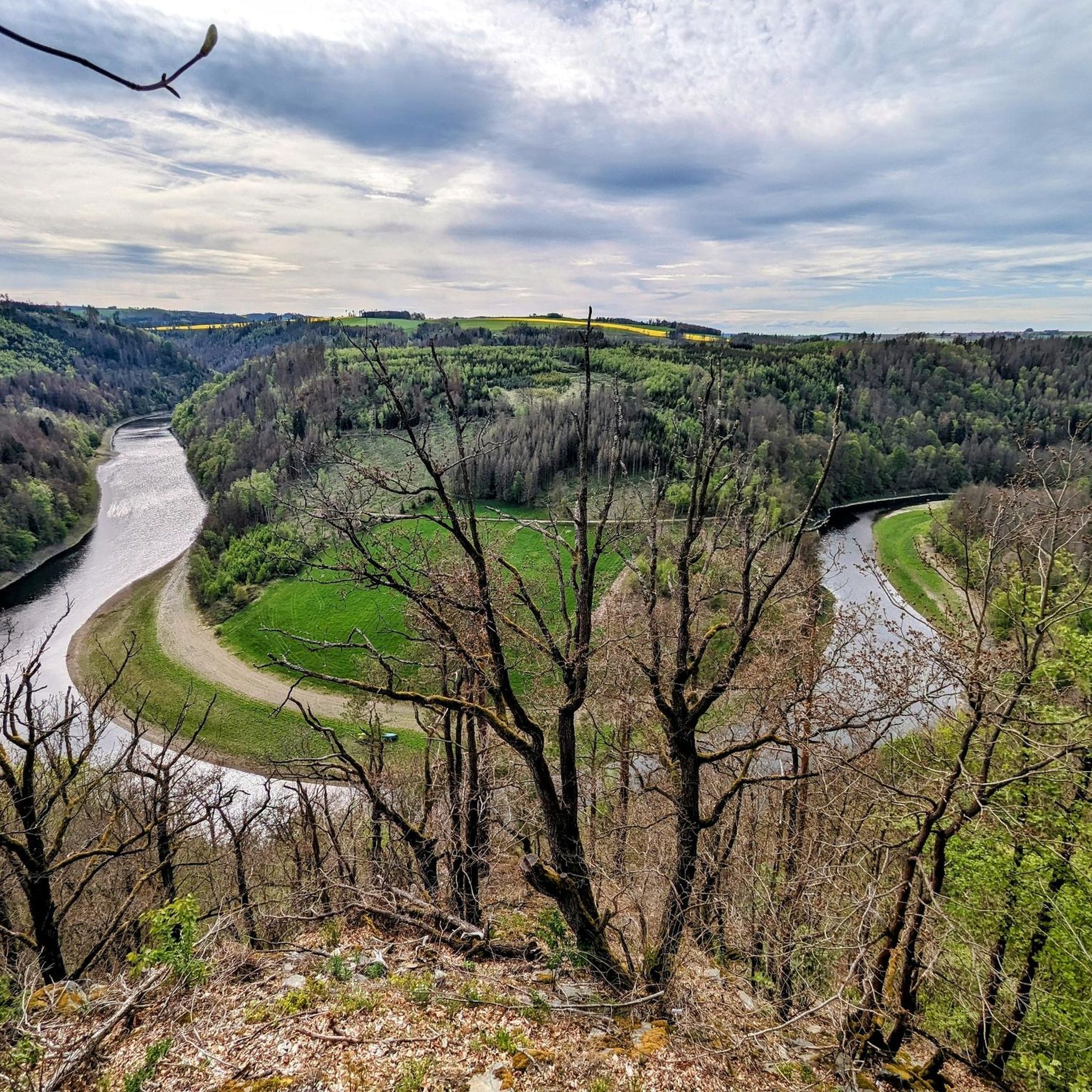
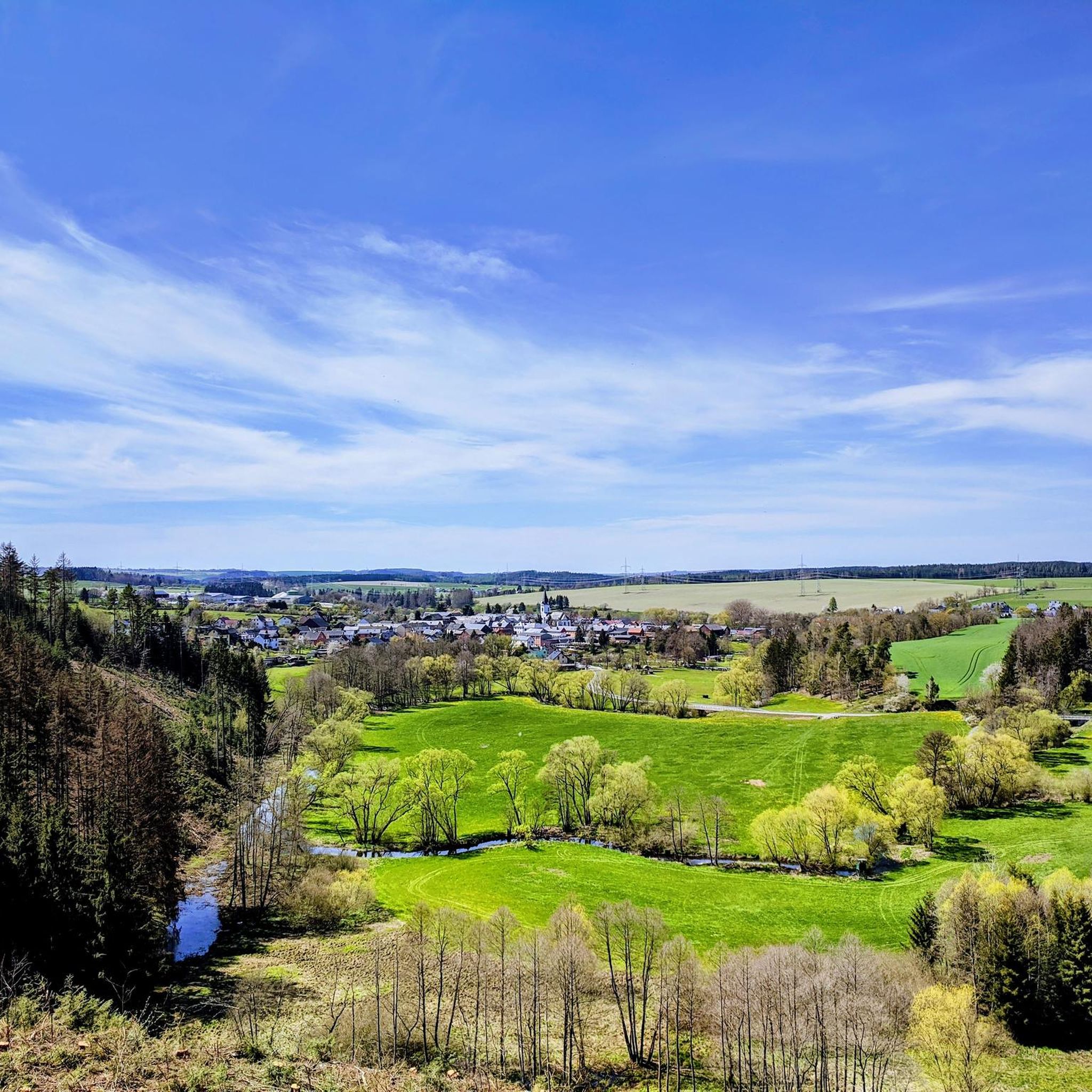
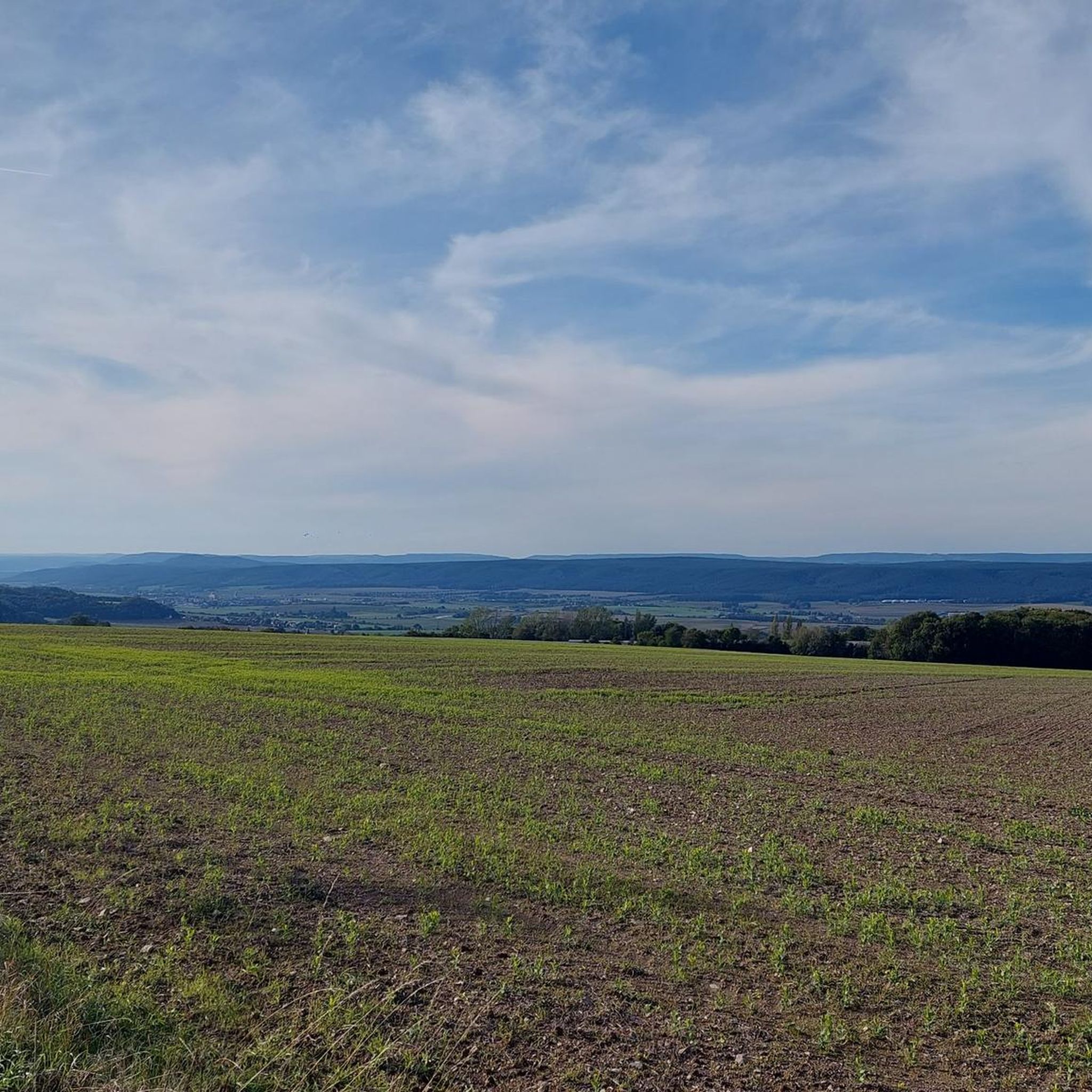
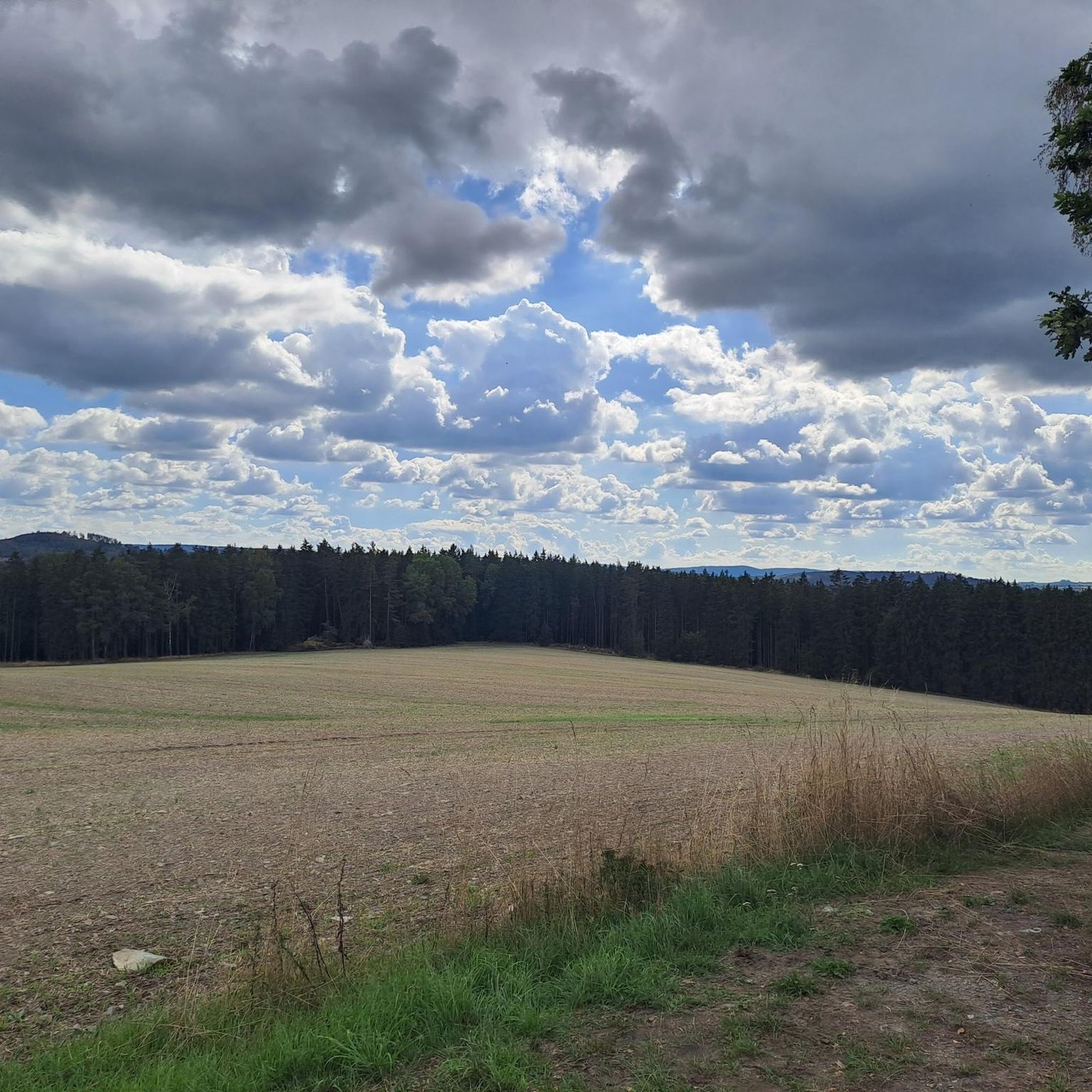
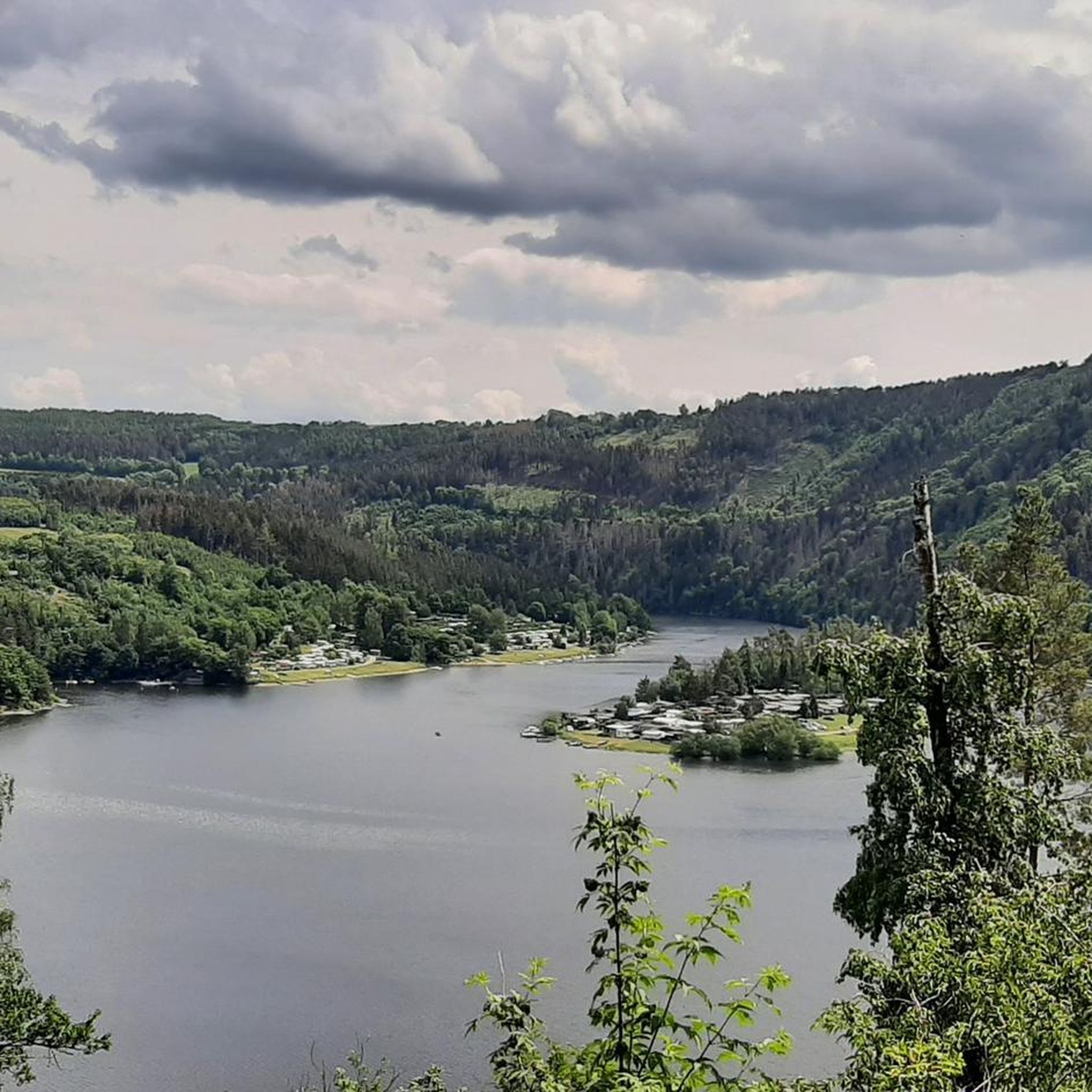
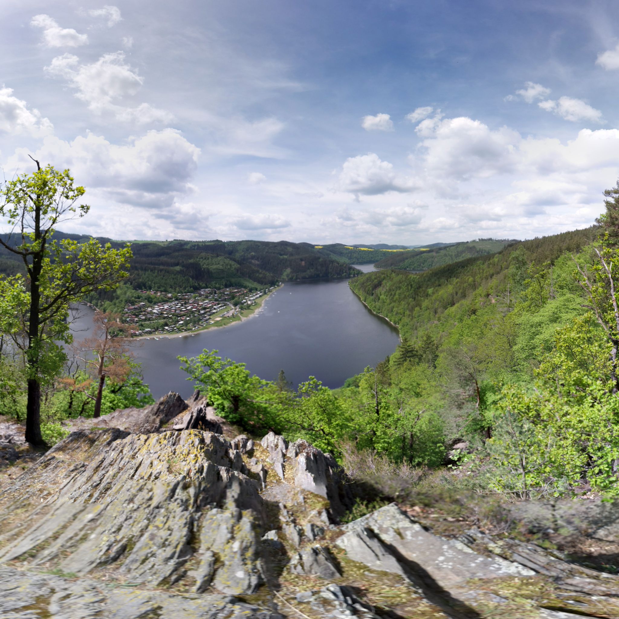
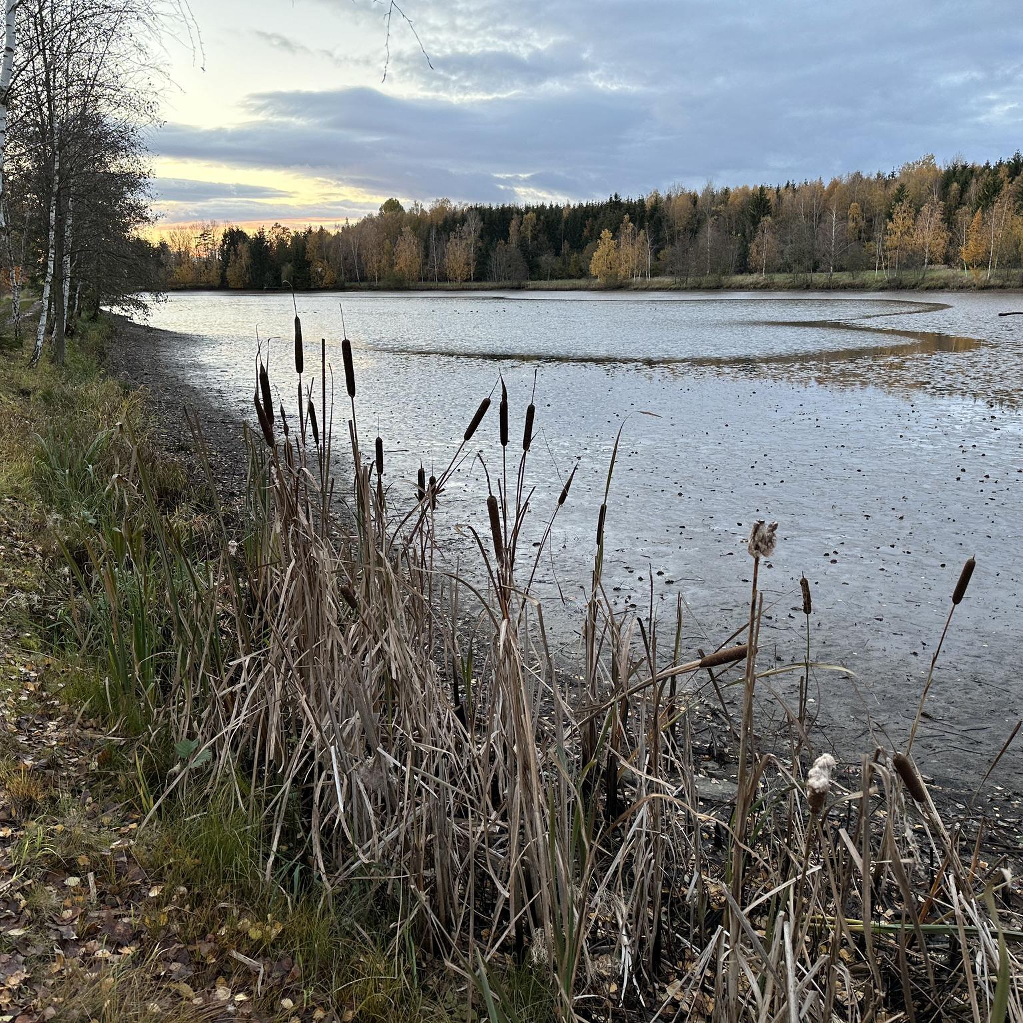
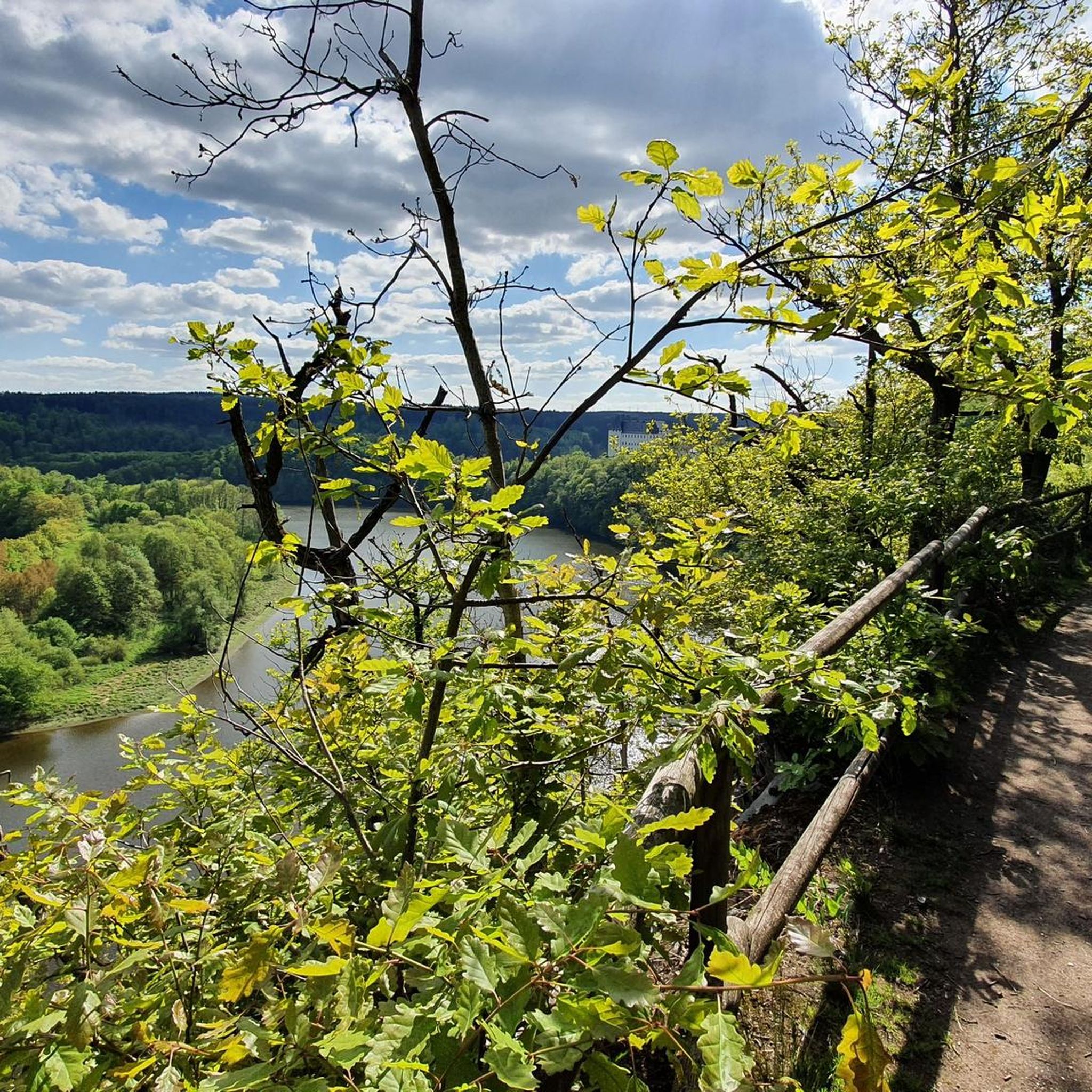
Other adventures in Saale-Orla-Kreis


Tips from the Community


At the end of the path is a water tower connected to a pipe. You basically walk around on it. Here's the information board.
0
0
The stairs make the descent to the water tower less arduous
0
0

A very beautiful historic building with historic furnishings.
10
0

A beautiful stilt house on the pond in Plothen 🤩.
17
0

The bison enclosure is open all year round and free of charge.
3
0

The highway from a different perspective. Also accessible by car.
0
0

Frequently Asked Questions
How many hiking trails are available in Saale-Orla-Kreis?
Saale-Orla-Kreis offers a vast network of over 2,000 hiking routes. These range from easy strolls to more challenging treks, ensuring options for every fitness level. Approximately half of these routes are considered easy, making the region very accessible.
What kind of terrain can I expect when hiking in Saale-Orla-Kreis?
The region is characterized by diverse landscapes, including dense forests, lush meadows, and significant river valleys carved by the Saale and Orla rivers. You'll encounter impressive rock formations, ancient Zechstein reefs, and the expansive reservoir landscape known as the "Thuringian Sea," formed by the Bleiloch and Hohenwarte Reservoirs. Paths vary from riverside walks to elevated sections within the Thuringian Slate Mountains/Upper Saale Nature Park.
Are there easy hiking options suitable for beginners or casual walkers?
Yes, Saale-Orla-Kreis has over 1,000 easy hiking routes. For a gentle introduction, consider the Urwaldpfad Hirschberg – Thuringia's Primeval Forests of Tomorrow, an easy 3 km path. Another great option is the Lobi family hiking trail in Bad Lobenstein, which is just over 4 km and designed for a pleasant family outing.
Are there family-friendly hiking trails in Saale-Orla-Kreis?
Absolutely. The region is well-suited for families. A popular choice is the 1,000-pond loop for children, a moderate 8.6 km trail that explores a unique pond landscape. The Lobi family hiking trail in Bad Lobenstein is another excellent, easy option for all ages.
Can I bring my dog on the hiking trails in Saale-Orla-Kreis?
Most hiking trails in Saale-Orla-Kreis are dog-friendly, allowing you to explore the natural beauty with your canine companion. It's always recommended to keep dogs on a leash, especially in nature reserves or areas with wildlife, and to respect local signage regarding pet regulations.
Are there any circular hiking routes in the region?
Yes, many routes in Saale-Orla-Kreis are circular, offering convenient starting and ending points. For example, the Plothen Ponds – 1000 Ponds Circular Trail loop from Plothen is a moderate 11.6 km route that takes you through a unique pond landscape. Another option is the View of Hirschsprung Rock – Höllental (Hell Valley) loop from Lichtenberg, a moderate 7.7 km trail with scenic views.
What natural attractions or landmarks can I see along the hiking trails?
Saale-Orla-Kreis is rich in natural and historical landmarks. You can explore the unique Plothen Ponds, part of the 1000 Ponds Circular Trail, or witness the impressive Bleiloch Reservoir, Germany's largest. The Zechsteinriff geological trail with the Pinsenberg highlights ancient geological formations, including the Pinsenberg itself. You might also encounter historic sites like Burgk Castle or Ranis Castle, often perched with magnificent views.
Are there any trails that feature waterfalls or impressive rock formations?
Yes, the region's diverse geology includes areas with impressive rock formations and valleys that sometimes feature waterfalls. The Höllental (Hell Valley) is particularly known for its dramatic scenery. The View of Hirschsprung Rock – Höllental (Hell Valley) loop from Lichtenberg is a great way to experience these features.
What do other hikers enjoy most about hiking in Saale-Orla-Kreis?
The area is highly rated by the komoot community, with an average score of 4.6 stars from over 13,000 reviews. Hikers often praise the region's diverse landscapes, from the fjord-like reservoirs to the dense forests and unique geological formations. The well-maintained trails and the variety of options for all skill levels are also frequently highlighted.
When is the best time of year to go hiking in Saale-Orla-Kreis?
Spring and autumn are generally considered the best seasons for hiking in Saale-Orla-Kreis. In spring, nature is in full bloom, and temperatures are pleasantly mild. Autumn offers stunning displays of warm-colored foliage, creating a picturesque backdrop for your hikes. While winter hiking is possible, be prepared for colder temperatures and potentially snowy or icy conditions.
Are there any long-distance hiking trails that pass through Saale-Orla-Kreis?
Yes, a section of Germany's well-known Rennsteig trail, a famous long-distance hiking route, passes through the Saale-Orla-Kreis. This provides excellent opportunities for both shorter walks along parts of the trail and longer trekking tours, allowing you to experience diverse flora and fauna.
Are there hiking routes along the reservoirs?
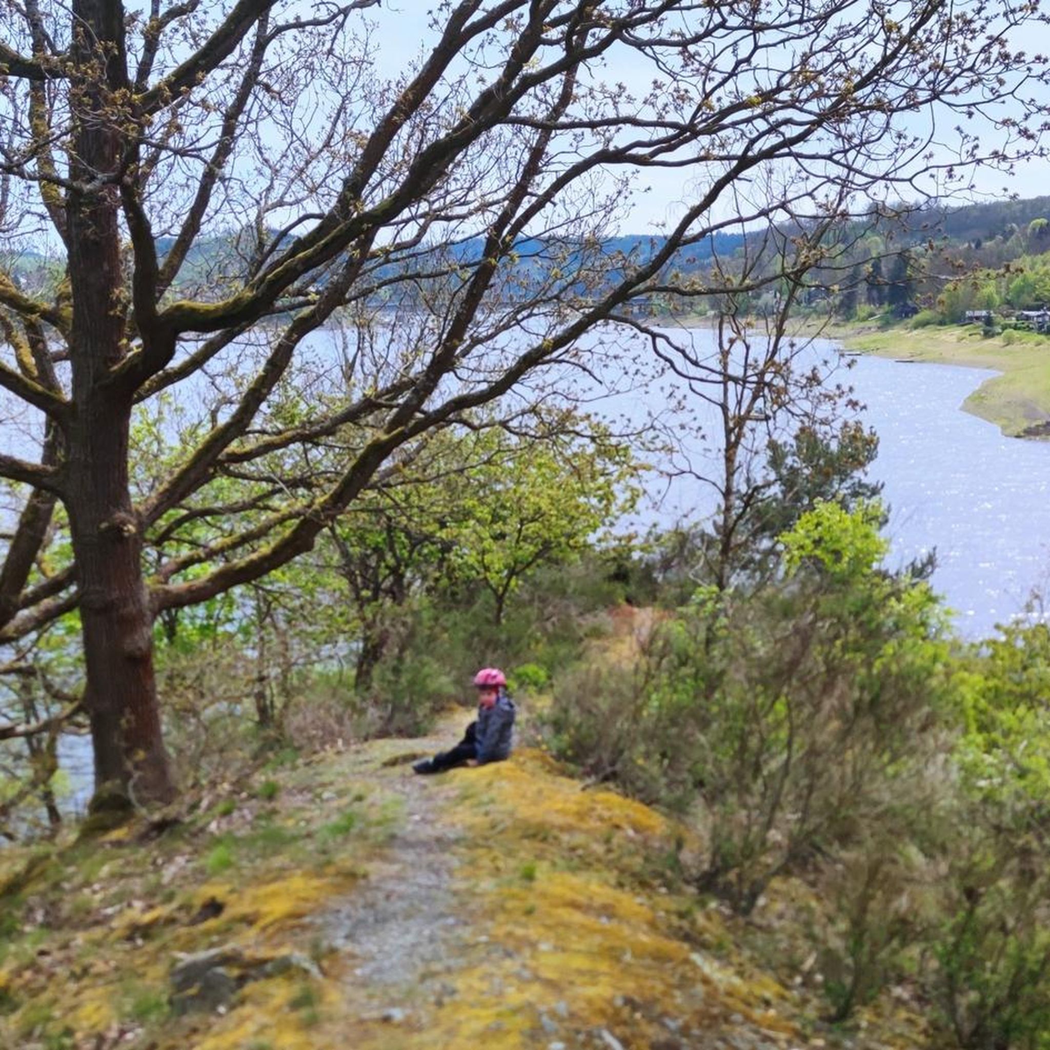
The reservoir landscape, often called the "Thuringian Sea," is a major highlight. You can find numerous routes along the shores of the Bleiloch and Hohenwarte Reservoirs. A popular choice is the Lakeside trail at Hohenwarte Reservoir – Drachenschwanz Lakeside Beach loop from Altenbeuthen, a moderate 11.4 km trail offering breathtaking panoramas over the water and surrounding forests.
Most popular routes in Saale-Orla-Kreis
Most popular attractions in Saale-Orla-Kreis

Get inspired with the komoot mobile app


Didn’t find what you were looking for?
Check out more Hikes throughout Saale-Orla-Kreis below and find the perfect route in your destination.
Explore more
Browse the best Hikes in other regions.
