The best hikes from bus stations in Saale-Orla-Kreis
4.6
(15456)
47,770
hikers
1,028
hikes
Bus station hiking trails in Saale-Orla-Kreis traverse a varied landscape characterized by the Thuringian Slate Mountains/Upper Saale Nature Park. The region features deeply cut valleys, dense forests, and the "Thuringian Sea," Europe's largest connected reservoir area formed by the Hohenwarte and Bleiloch reservoirs. The Saale River winds through the area, offering tranquil river valleys and impressive viewpoints. Geological formations like Zechstein reefs and extensive meadows contribute to the diverse terrain.
Best bus station hiking trails in Saale-Orla-Kreis
- The most popular…
Last updated: October 1, 2026
4.8
(859)
2,615
hikers
Moderate hike. Good fitness required. Easily-accessible paths. Suitable for all skill levels.
4.8
(9)
45
hikers
4.10km
01:07
60m
60m
Easy hike. Great for any fitness level. Easily-accessible paths. Suitable for all skill levels.

4.6
(215)
578
hikers
13.5km
03:47
240m
240m
Moderate hike. Good fitness required. Mostly accessible paths. Sure-footedness required.
4.8
(165)
470
hikers
24.0km
06:30
340m
340m
Hard hike. Very good fitness required. Easily-accessible paths. Suitable for all skill levels.
4.8
(153)
441
hikers
Hard hike. Very good fitness required. Easily-accessible paths. Suitable for all skill levels.
Get access to more routes and recommendations from other explorers.
Already have an account?
Our route recommendations are based on thousands of hikes, rides, and runs completed by other people on komoot.
Start today with a free account
Your next adventure awaits.
Popular around Saale-Orla-Kreis
Hikes from bus stations around Remptendorf
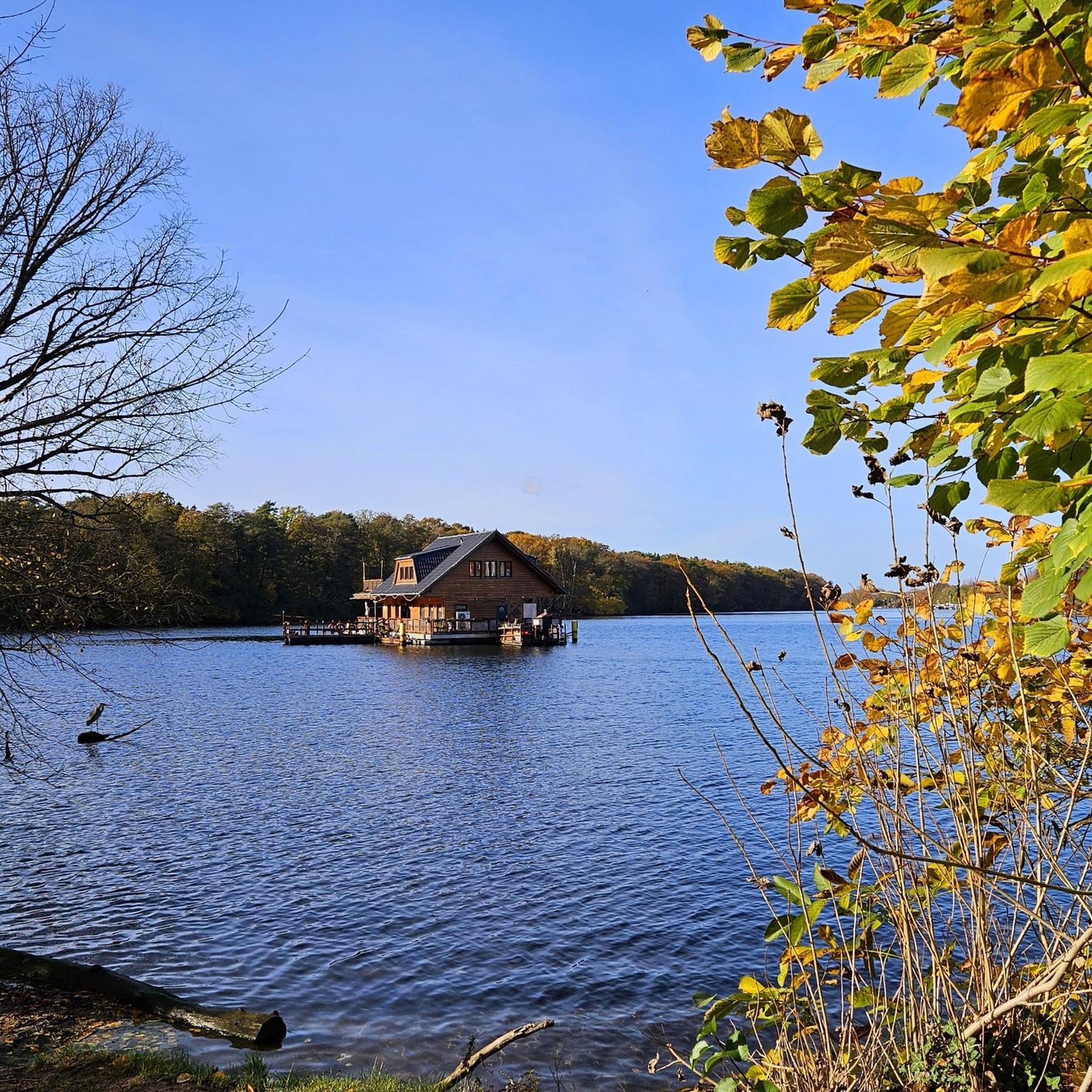
Hikes from bus stations around Saalburg-Ebersdorf
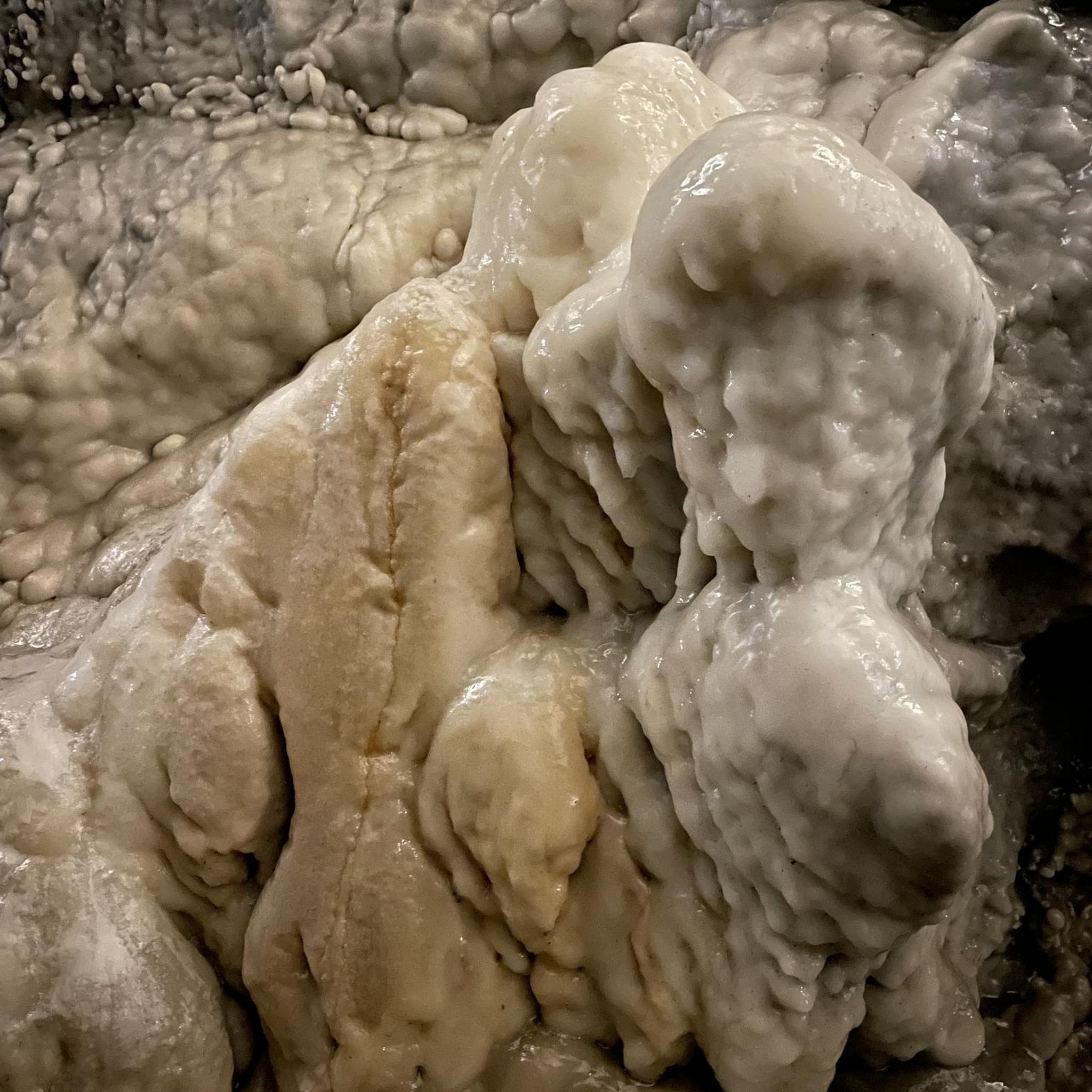
Hikes from bus stations around Bad Lobenstein
Hikes from bus stations around Bleilochstausee

Hikes from bus stations around Schleiz
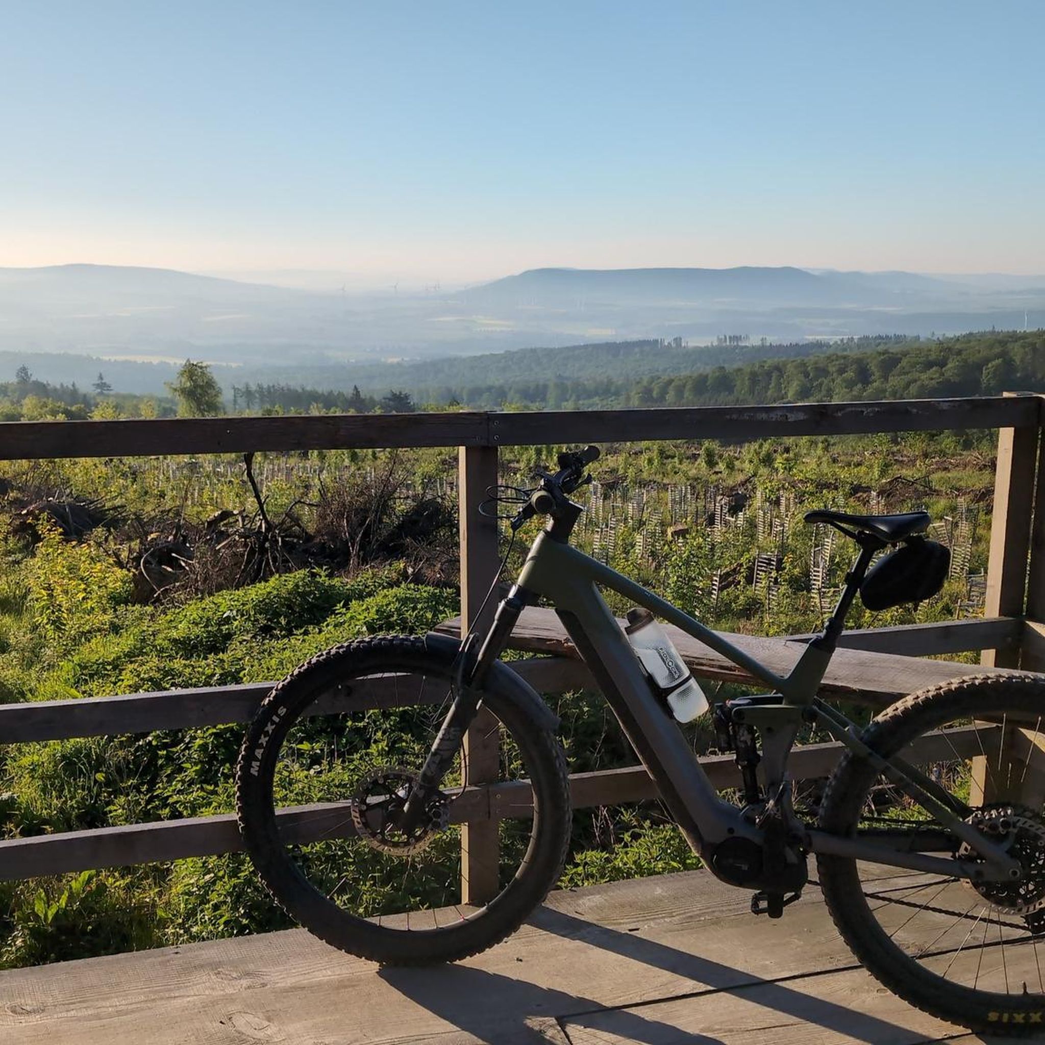
Hikes from bus stations around Ziegenrück

Hikes from bus stations around Gössitz
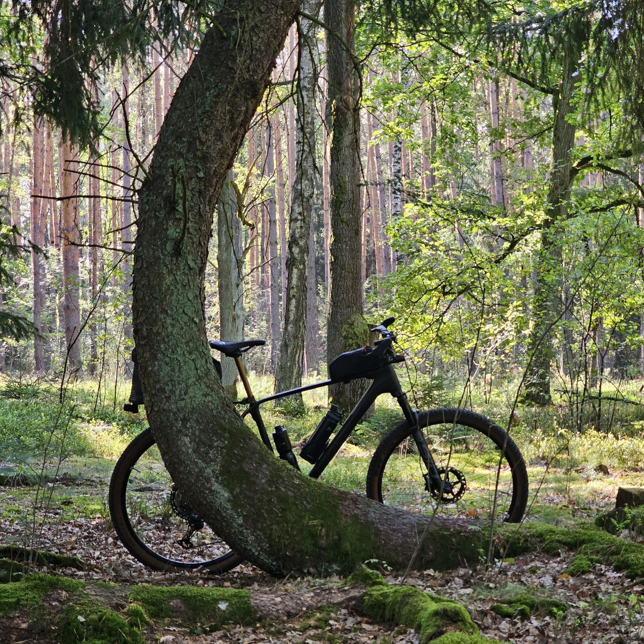
Hikes from bus stations around Hirschberg
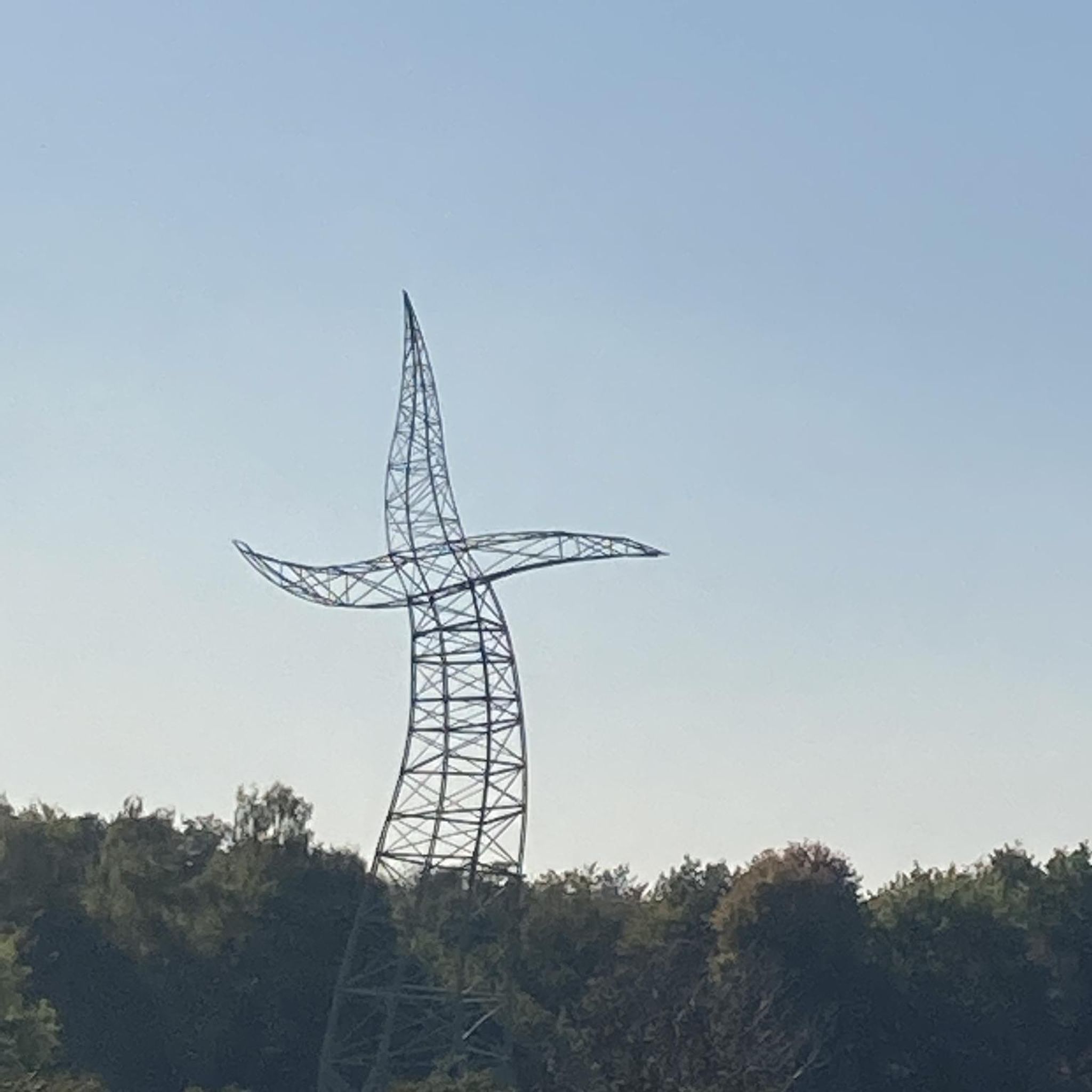
Hikes from bus stations around Tanna

Hikes from bus stations around Ranis
Other adventures in Saale-Orla-Kreis


Tips from the Community

A bridge where you should keep an eye on the car drivers!
0
0

Must take with you to go around the Bleiloch 😉
0
0

really very interesting and informative
1
0

At the end of the path is a water tower connected to a pipe. You basically walk around on it. Here's the information board.
0
0

At the hiking parking lot near the Spermaauer junction, a lovingly designed information board commemorates the former Schleiz–Saalburg narrow-gauge railway, which once connected the Saale Valley. The board offers fascinating insights into the history of the railway line and shows how the landscape has changed over time. A worthwhile stop for anyone interested in regional history or who wants to combine their hike with a little historical moment. 🚂🌲
0
0
The stairs make the descent to the water tower less arduous
0
0

It's just incredibly beautiful here 😊.
0
0

In 1933, a wood mill was converted into the current hydroelectric power plant. Along the right bank of the Selbitz River, the 1.60-meter-high pipes run 1,855 meters in length, with a drop of 37.4 meters, carrying water from the weir to the water tower and from there into the power plant. During the summer months, on Sundays and public holidays, and when the water level is sufficient, a 28-meter-high water fountain can be seen at the power plant, delighting hikers.
15
0
Frequently Asked Questions
How many bus station hiking trails are available in Saale-Orla-Kreis?
There are over 1000 hiking routes in Saale-Orla-Kreis that are easily accessible by bus. This includes a wide variety of trails, with nearly 500 easy routes, around 500 moderate options, and over 40 challenging trails for experienced hikers.
What is the best time of year to go hiking in Saale-Orla-Kreis?
The best seasons for hiking in Saale-Orla-Kreis are spring and autumn. During these times, nature is either in full bloom or displaying vibrant fall colors, and temperatures are pleasantly mild, making for ideal hiking conditions.
Are there family-friendly hiking trails accessible by bus in Saale-Orla-Kreis?
Yes, the region offers several family-friendly routes. For example, the Lobi family hiking trail in Bad Lobenstein is an easy, shorter option perfect for families. Many trails within the Thuringian Slate Mountains/Upper Saale Nature Park are also suitable for children, often featuring cozy huts for breaks.
What kind of natural features can I expect to see on bus-accessible hikes?
Saale-Orla-Kreis is rich in natural beauty. You can expect to encounter deeply cut valleys, dense forests, lush meadows, and impressive rock formations. The region is home to the 'Thuringian Sea' (Hohenwarte and Bleiloch reservoirs), the winding Saale River, and unique geological formations like Zechstein reefs. Some trails even lead to waterfalls, such as the Gera waterfall, or through beautiful orchid meadows in the Orlasenke.
Are there any circular hiking routes that start and end at a bus stop?
Yes, many routes are designed as circular walks, making them convenient for public transport users. For instance, the View of Hirschsprung Rock – Höllental (Hell Valley) loop from Lichtenberg offers a moderate circular experience. Another option is the View from Agnesruh – View from Totenfels loop from Saaldorf, providing scenic views.
What historical landmarks or attractions can I visit along bus-accessible hiking trails?
The region is dotted with historical sites. You can hike to impressive structures like Burgk Castle, which offers magnificent views of the surrounding valley. Other notable attractions include the Wysburg Castle Ruins, the Ziemestal Viaduct, and the Saale Tower. The Raniser Raubrittersteig also explores the surroundings of Ranis Castle.
What do other hikers enjoy most about hiking in Saale-Orla-Kreis?
The komoot community highly rates the hiking experience in Saale-Orla-Kreis, with an average score of 4.6 stars from over 13,500 ratings. Hikers frequently praise the diverse and picturesque landscapes, the tranquility of the dense forests, and the stunning views, especially along the Saale River and the 'Thuringian Sea'.
Are there any challenging routes accessible by bus for experienced hikers?
Yes, for those seeking a challenge, there are difficult routes available. The Bleiloch Dam – Turbine Runner at Bleiloch Dam loop from Remptendorf is a demanding option, covering nearly 24 km with significant elevation changes. Another challenging trail is the Wetterabrücke – Bleiloch Dam loop from Saalburg-Ebersdorf, offering extensive views around the Bleiloch Dam.
Can I combine hiking with other activities, like boat tours, in Saale-Orla-Kreis?
Absolutely! The 'Thuringian Sea,' formed by the Hohenwarte and Bleiloch reservoirs, provides excellent opportunities to combine hiking with boat tours. Many trails run along the shores of these man-made lakes, allowing you to enjoy the scenery from both land and water.
What kind of terrain can I expect on the hiking trails in Saale-Orla-Kreis?
The terrain in Saale-Orla-Kreis is quite varied. You'll find everything from gentle paths through lush meadows and along river valleys to steeper, densely forested slopes and rocky sections, particularly within the Thuringian Slate Mountains. The region's diverse topography ensures a range of experiences for all fitness levels.
Most popular routes in Saale-Orla-Kreis
Most popular attractions in Saale-Orla-Kreis

Get inspired with the komoot mobile app


Didn’t find what you were looking for?
Check out more Hikes throughout Saale-Orla-Kreis below and find the perfect route in your destination.
Explore more
Browse the best Hikes in other regions.
