The best running trails around Colere
4.4
(59)
4,087
runners
178
runs
Jogging around Colere offers a diverse range of running routes through mountainous terrain and alpine landscapes. The region is characterized by significant elevation changes, with trails often leading to panoramic viewpoints and mountain refuges. Runners can expect a mix of challenging ascents and descents, providing a robust workout amidst natural beauty.
Best jogging routes around Colere
- The most popular jogging route is Lago del Gleno loop from Azzone, a 21.6 miles (34.8 km) trail that takes 5 hours 9…
Last updated: May 9, 2026
120
runners
34.8km
05:08
1,580m
1,580m
Hard run. Very good fitness required. Sure-footedness, sturdy shoes and alpine experience required.
34
runners
7.34km
01:05
380m
370m
Hard run. Very good fitness required. Mostly accessible paths. Some sure footedness required.

Sign up for free
23
runners
12.5km
02:32
1,100m
1,100m
Hard run. Very good fitness required. Sure-footedness, sturdy shoes and alpine experience required.
30
runners
Moderate run. Good fitness required. Mostly paved surfaces. Suitable for all skill levels.
23
runners
13.8km
02:19
730m
730m
Hard run. Very good fitness required. Sure-footedness, sturdy shoes and alpine experience required.
Get access to more routes and recommendations from other explorers.
Sign up for free
Already have an account?
Our route recommendations are based on thousands of hikes, rides, and runs completed by other people on komoot.
Start today with a free account
Your next adventure awaits.
Login or Signup
Popular around Colere

Path of the Iron Woods in Northern Italy – Via Decia
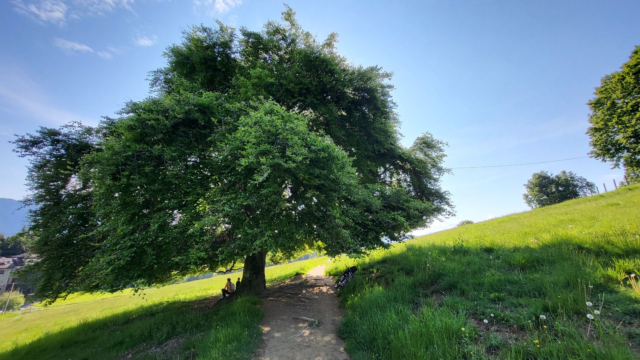
In Val di Scalve – CamminaForeste in Lombardia part 4
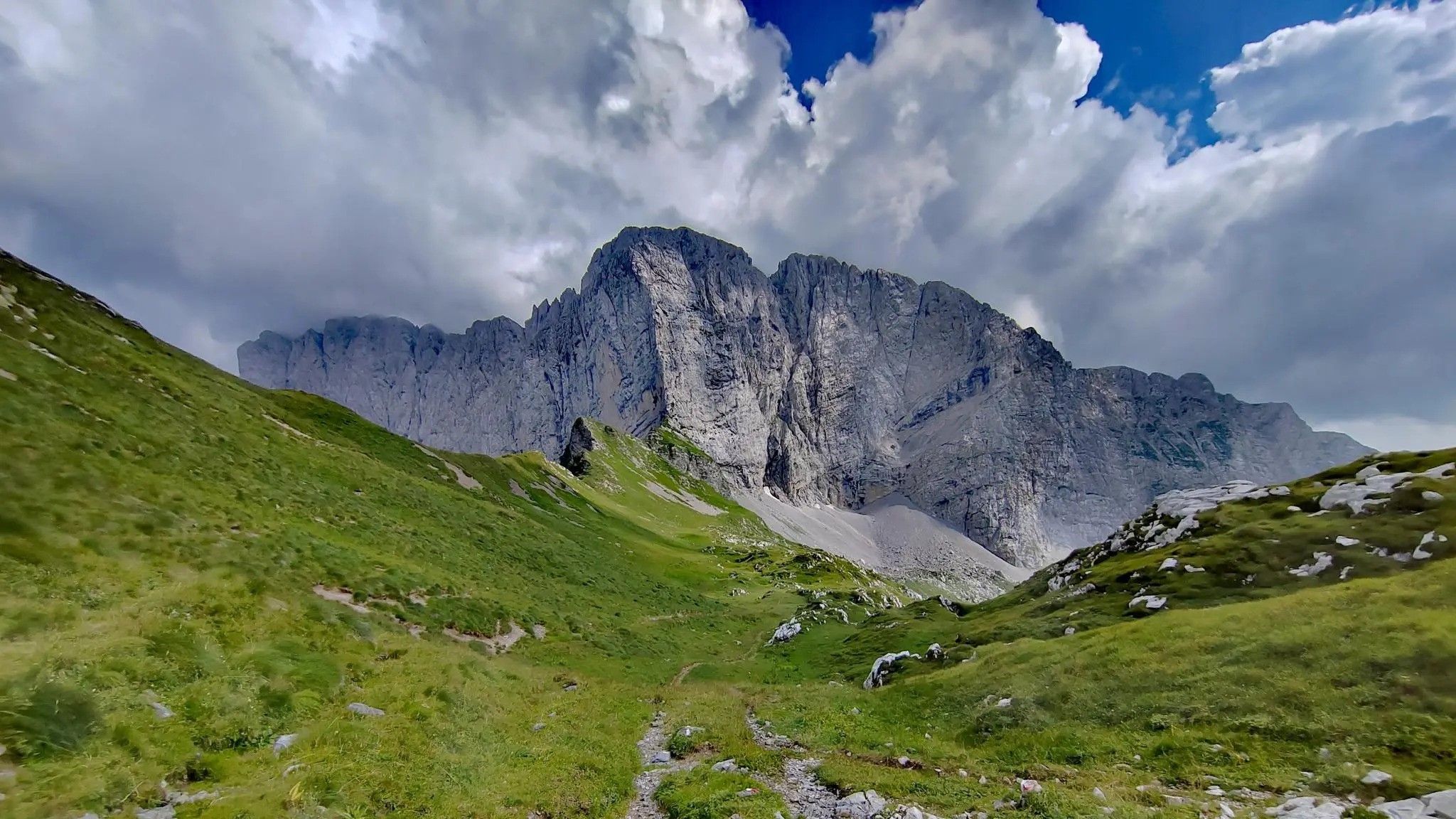
Trekking in val di Scalve – among the Piccoli Dolomiti Bergamasche
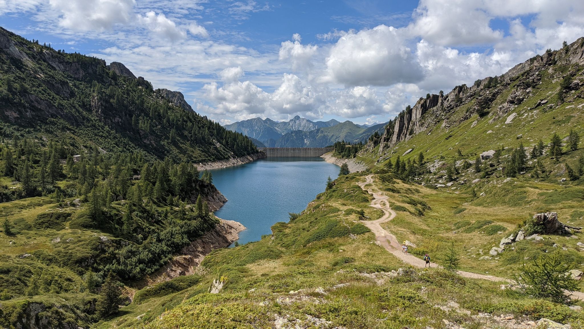
Eastern Orobie Path – a loop through Italy’s Orobie Mountains

A stone's throw from Presolana – trekking in Italy’s Val Seriana
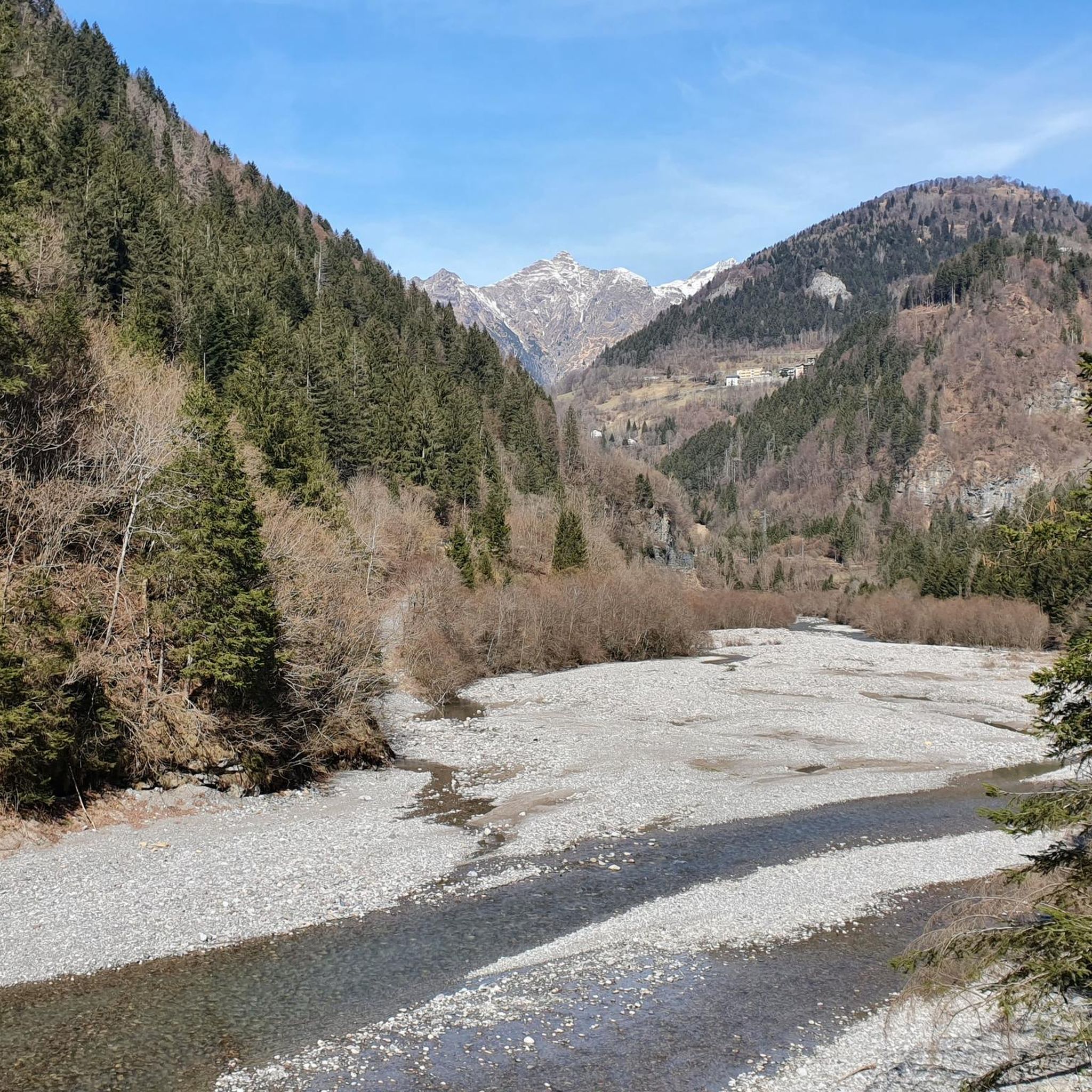
Hiking around Colere
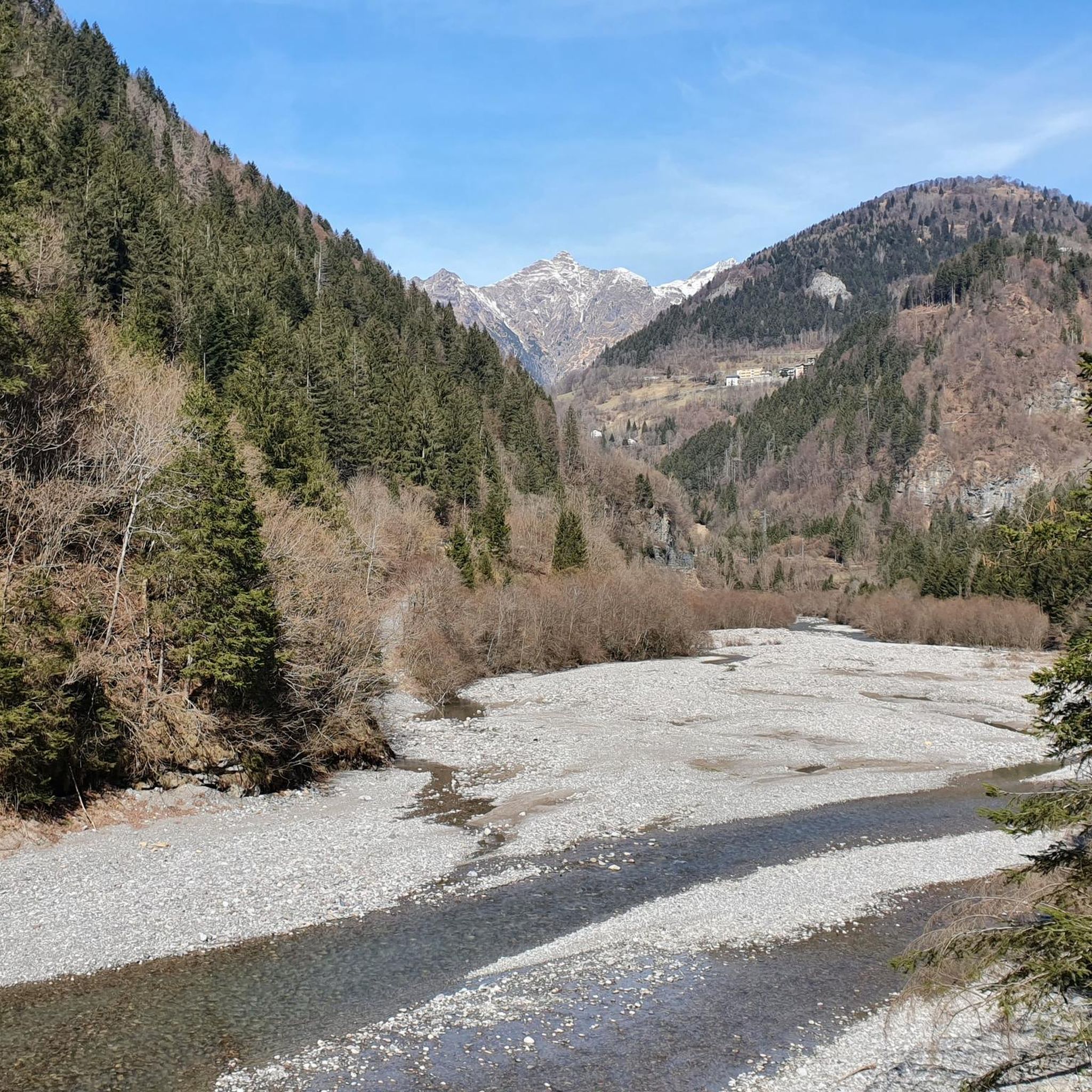
MTB Trails around Colere
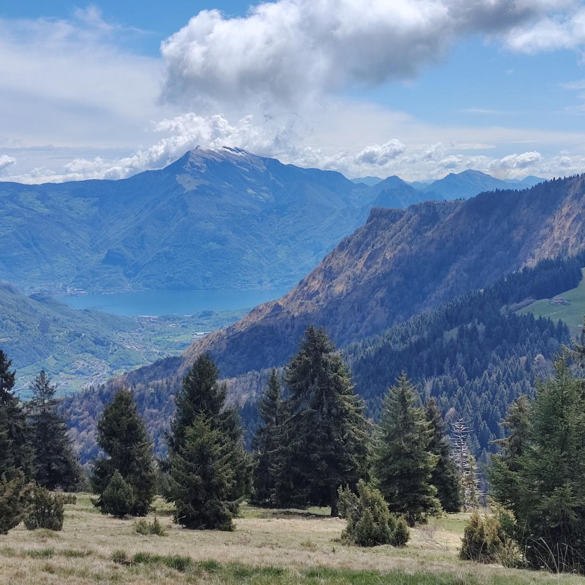
Cycling around Colere
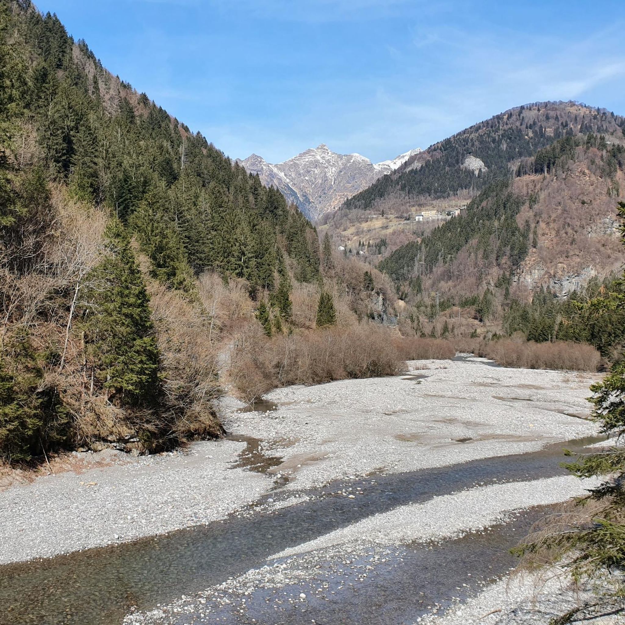
Road Cycling Routes around Colere

Mountain Hikes around Colere
Other adventures around Colere


Tips from the Community

The trail is suitable for everyone and takes about an hour to reach the refuge. You can either hike along a cobblestone road or through the woods (not recommended if it's snowing in winter because it freezes, and in summer, some sections are very muddy). Be sure to pay extra attention.
0
0

A very characteristic refuge at the foot of the Presolana at 1,940 meters. It can be climbed from Teveno or Colere (in approximately 1 hour 45 and 2 hours 30 minutes). Several peaks can be reached from the refuge; the Curò refuge can be reached via the Giro delle Orobie trail.
0
0

Starting on an easy, low-elevation hike from the parking lot in front of Bar Neve, follow the trail to the Cassinelli Refuge. This tree-shaded trail is one of my favorites for enjoying the mountains, even with those who are struggling. At the refuge, a warm welcome awaits, and authentic Orobic flavors are guaranteed. A must-try if you're looking for a mountain retreat for everyone.
0
0

A place of haunting beauty, steeped in history and memories. Walking at the foot of the Gleno Dam is a deeply moving experience. In my video, I recount the history and emotion of this place. Watch it for the full adventure: https://youtu.be/xOmoTKIHDm0
1
0

Great place to park to go up to Presolana. If you arrive early the spots are easy to find.
0
0

Passo degli Agnelli is located at 1950 meters above sea level, under the steep walls of the southern slope of Presolana. It is a spectacular panoramic point, easily reachable from Rifugio Rino Olmo. The hike to the pass offers splendid views of the surrounding mountains and can be part of a circular tour that includes Valle dei Mulini, Passo Olone and Rifugio Olmo. The trail crosses scree and woods, offering an immersive experience in the nature of the Bergamo Orobie
0
0

There are picnic tables and 2 barbecue places
0
0
wonderful place but better to avoid crowded periods
0
0
Frequently Asked Questions
How many running routes are available around Colere?
There are over 170 running routes around Colere, offering a wide range of options for different skill levels. The majority of these, about 130, are classified as difficult, reflecting the region's challenging mountainous terrain.
Are there any easy jogging paths in Colere for beginners?
While Colere is known for its challenging alpine terrain, there are a few easier jogging paths available. Approximately 4 routes are rated as easy, providing gentler options for beginners or those looking for a less strenuous run.
What kind of terrain can I expect on running trails in Colere?
Running trails in Colere are characterized by significant elevation changes, leading through mountainous and alpine landscapes. You can expect a mix of challenging ascents and descents, often on technical terrain, with many routes leading to panoramic viewpoints and mountain refuges.
Are there any circular running routes in the Colere area?
Yes, many running routes around Colere are designed as loops. For example, the challenging Rifugio Luigi Albani loop from Colere and the Running loop from Monte Scanapa are popular circular options.
What are some scenic attractions or landmarks I can see while running near Colere?
The region offers stunning natural beauty. Along your runs, you might encounter impressive natural monuments like the Gleno Dam and Lake, or the majestic Serio Falls. Other notable sights include the Barbellino Reservoir and Lova Lake.
Are there any running routes that feature waterfalls?
Yes, the Colere area is home to several beautiful waterfalls. The renowned Serio Falls is a major highlight, and you can also discover the Vò Waterfall and the Waterfalls and Stream Along the Ogna River.
What do other runners say about the trails in Colere?
The running routes in Colere are highly regarded by the komoot community, boasting an average rating of 4.3 stars from over 50 reviews. Runners frequently praise the challenging nature of the trails, the rewarding panoramic views, and the immersive alpine experience.
Are there any long-distance running options for experienced athletes?
Absolutely. For experienced athletes seeking a significant challenge, routes like the Lago del Gleno loop from Azzone offer a substantial distance of 21.6 miles (34.8 km) with considerable elevation gain, taking over 5 hours to complete.
Can I find running routes with mountain huts or refuges along the way?
Yes, several routes in Colere lead to mountain huts, providing opportunities for a break or refreshment. The Rifugio Luigi Albani loop from Colere is a prime example, offering a demanding climb to a refuge with expansive views.
What is the best time of year to go running in Colere?
Given the alpine nature of Colere, the best time for running is typically from late spring through early autumn (May to October) when trails are generally free of snow and weather conditions are more favorable. Winter running can be challenging due to snow and ice, requiring specialized gear and experience.
Are there any moderate difficulty running trails in Colere?
Yes, for those looking for a challenge that's not quite as demanding as the most difficult routes, there are approximately 35 running trails classified as moderate difficulty. These routes offer a good balance of distance and elevation without the extreme technicality of the most advanced paths.
What is a good running route for exploring the Presolana area near Colere?
If you're looking to explore the Presolana area, the Rifugio Olmo loop from Passo della Presolana is an excellent choice. This route covers about 13.8 km (8.6 miles) and offers a challenging run with rewarding views of the surrounding peaks.
Most popular attractions around Colere

Get inspired with the komoot mobile app


Explore more
Browse the best Running Trails & Routes in other regions.
