The best traffic-free bike rides around Colere
4.5
(341)
5,035
riders
58
rides
No traffic touring cycling routes around Colere are situated in the Bergamo Alps, within the Val di Scalve, offering a diverse range of landscapes. The region is characterized by the dominant Presolana Massif, featuring rocky peaks and steep slopes. Valleys provide panoramic views extending to the Adamello mountain range, while several alpine lakes are nestled within the terrain. Touring cyclists can expect routes that traverse lush greenery and offer numerous panoramic viewpoints.
Best no traffic touring cycling routes around Colere
…Last updated: October 3, 2026
4.0
(5)
107
riders
58.8km
04:20
1,370m
1,370m
Hard bike ride. Very good fitness required. Mostly paved surfaces. Suitable for all skill levels.
34
riders
Moderate bike ride. Good fitness required. Mostly paved surfaces. Suitable for all skill levels.

5.0
(4)
38
riders
48.5km
03:42
1,200m
1,200m
Hard bike ride. Very good fitness required. Mostly paved surfaces. Suitable for all skill levels.
5.0
(1)
31
riders
12.9km
01:17
390m
390m
Moderate bike ride. Good fitness required. Mostly paved surfaces. Suitable for all skill levels.
5.0
(1)
30
riders
24.6km
01:51
610m
610m
Hard bike ride. Very good fitness required. Mostly paved surfaces. Suitable for all skill levels.
Get access to more routes and recommendations from other explorers.
Already have an account?
Our route recommendations are based on thousands of hikes, rides, and runs completed by other people on komoot.
Start today with a free account
Your next adventure awaits.
Popular around Colere

Path of the Iron Woods in Northern Italy – Via Decia
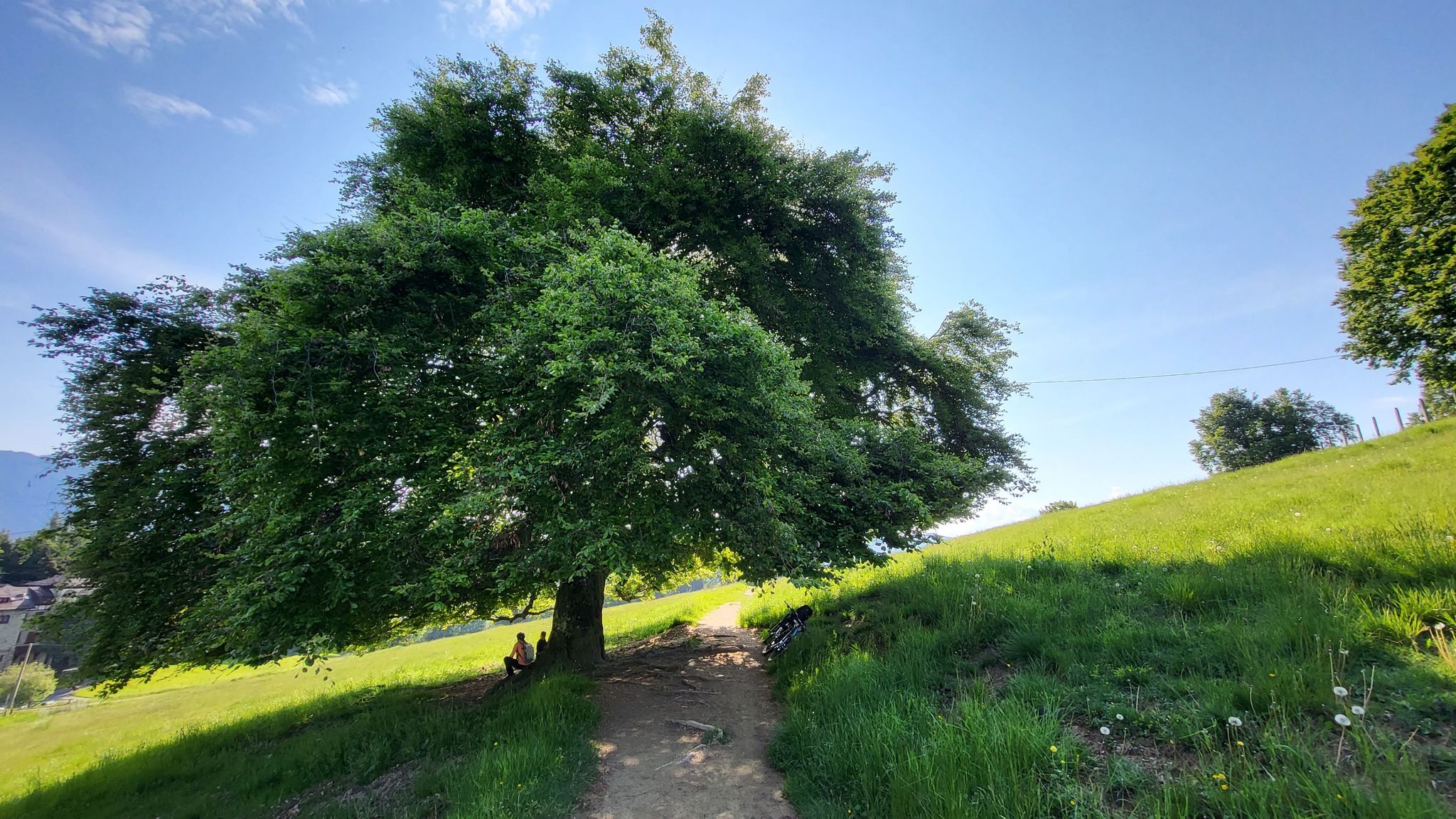
In Val di Scalve – CamminaForeste in Lombardia part 4
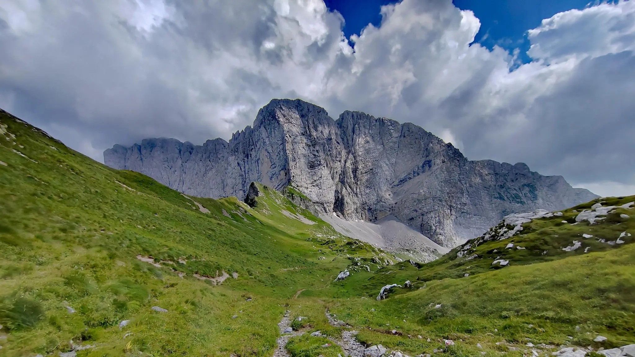
Trekking in val di Scalve – among the Piccoli Dolomiti Bergamasche
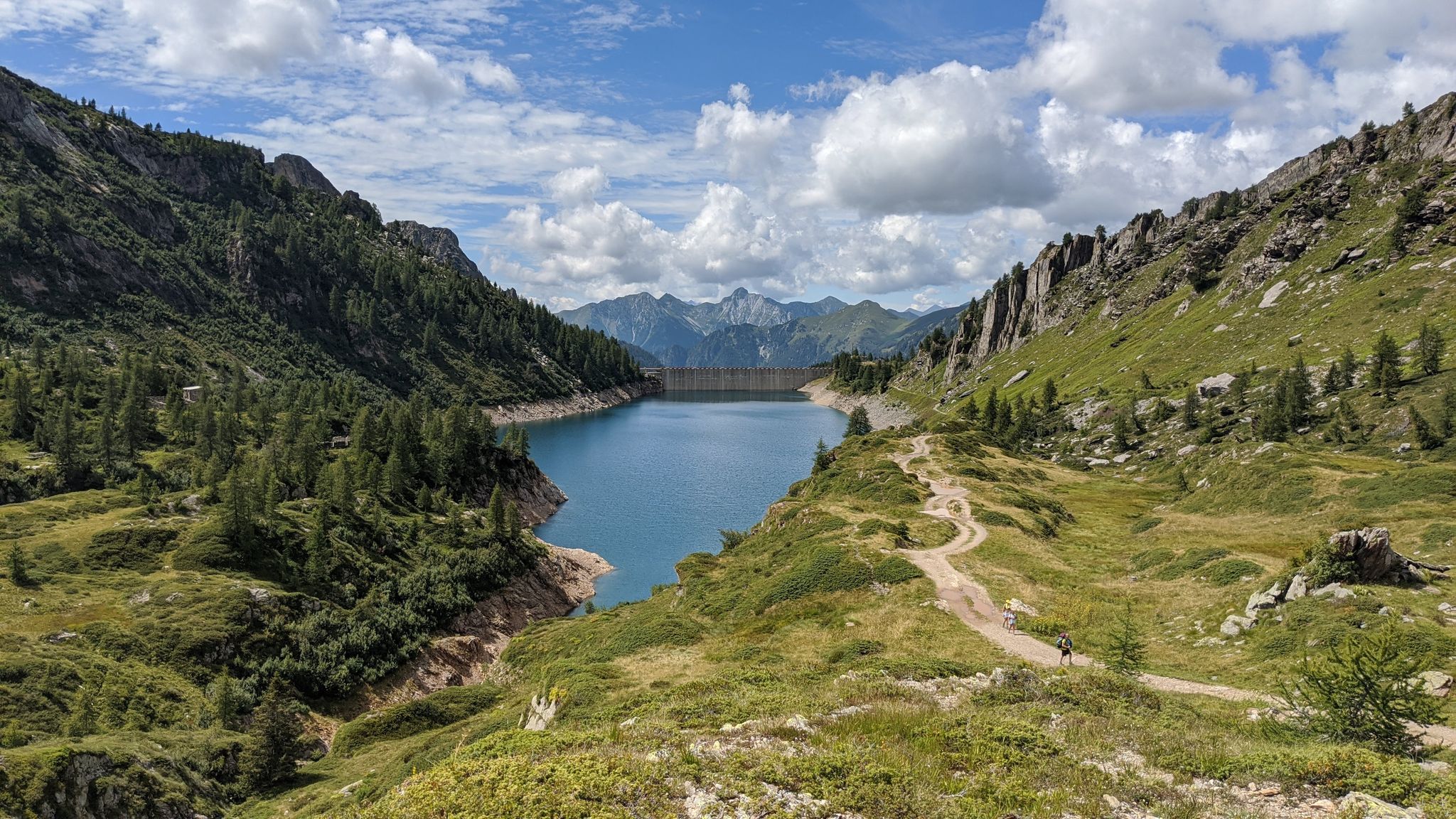
Eastern Orobie Path – a loop through Italy’s Orobie Mountains

A stone's throw from Presolana – trekking in Italy’s Val Seriana
Traffic-free bike rides around Colere

Traffic-free bike rides around Colere
Other adventures around Colere


Tips from the Community

during one of my tours, I found myself in this pass, spectacular how at the end of summer everything is incredibly green
0
0

Ascent that crosses several very well-equipped and beautiful villages to see.
0
0

Here is a clear and complete summary of BORNO, based on the most authoritative online sources. I will immediately give you the essential overview, then the useful details for those who – like you – live in and frequent the Altopiano del Sole area. 🏔️ Borno in brief Borno is a mountain village in Val Camonica, located at an altitude of 912 m, on the famous Altopiano del Sole. It is considered a "pearl" of the valley for its combination of open landscapes, woods, meadows, history, and living traditions. It is one of the main centers of the area, with about 2400 inhabitants and a long history that spans the medieval era, Venetian rule, and transformations of the twentieth century.
0
0
Fondi di Schilpario is an Alpine village located at approximately 1,250 meters above sea level in the municipality of Schilpario (BG), in the Scalve Valley. It is a strategic starting point for numerous hikes and snowshoeing excursions, immersed in a spectacular mountain landscape. 🏞️ Main Features Altitude: 1,250 m Access: Via Provincial Road 294 towards the Vivione Pass Services: Parking, votive church (Maria Ausiliatrice and Santa Barbara), picnic tables Ambience: Fir forests, alpine pastures, views of the Presolana and Cimon della Bagozza peaks 🥾 Excursions from Fondi Campione Refuge (1,900 m) – 1.5 hours Monte Campioncino (2,102 m) – 2.5 hours Don Giulio Corini Bivouac (2,016 m) – 2.45 hours Madonnina dei Campelli – 1.5 hours Malga Campelli Bassa and Alta – 1.15–1.45 hours ❄️ In winter Starting point for snowshoeing and ski mountaineering Groomed and marked trails, including Snow Spectacular snow-covered landscape, ideal for nature photography 🙏 Interesting Facts The votive church is dedicated to Mary Help of Christians and Saint Barbara, protectors of mountaineers and miners. Nearby is a memorial to the victims of the 1944 massacre.
0
0

I've done it twice in the same lap, first from Desso, then after climbing Monte Pora. They're completely different. From Desso, it's long and always in double digits, with significant peaks, so take it with a pinch of salt; the other is rideable. Seeing is believing. 🚴♀️
0
0

A very pleasant climb from Val di Scalve to Borno. Beautiful and not particularly challenging. 😊
2
0


This picnic area with a fountain is ideal for refilling water bottles and stopping for a sandwich.
0
0
Frequently Asked Questions
How many no-traffic touring cycling routes are available around Colere?
There are over 50 dedicated no-traffic touring cycling routes around Colere, offering a diverse range of experiences. While many are challenging, there are also several moderate and easy options to explore.
What is the best time of year for no-traffic touring cycling in Colere?
The best time for touring cycling in Colere is generally from late spring through early autumn (May to October). During these months, the weather is more stable, mountain passes are typically clear of snow, and the lush landscapes of the Val di Scalve are at their most vibrant. Always check local weather conditions before heading out.
Are there any family-friendly no-traffic touring cycling routes in Colere?
While many routes in Colere are rated as difficult due to the mountainous terrain, there are some easier sections and paths suitable for families, especially if you consider e-bike options. Look for routes with less elevation gain and well-paved surfaces. The region's natural beauty makes it a rewarding experience for all skill levels.
What kind of terrain can I expect on these no-traffic touring cycling routes?
The no-traffic touring cycling routes around Colere primarily feature mountainous terrain within the Bergamo Alps. You can expect a mix of well-paved roads, some gravel sections, and significant elevation changes as you navigate through valleys and over passes. The region is known for its challenging climbs and rewarding descents, often with panoramic views.
What are some notable natural features or landmarks I can see along the routes?
Colere offers stunning natural beauty. You can encounter majestic peaks of the Presolana Massif, explore the serene Val di Scalve, and discover beautiful alpine lakes like the Barbellino Reservoir. The ancient Via Mala, carved by the Dezzo torrent, also offers spectacular vistas.
Are there any circular no-traffic touring cycling routes available?
Yes, many of the no-traffic touring cycling routes in Colere are designed as loops, allowing you to start and finish in the same location. An example is the challenging Vivione Pass – Schilpario loop from Azzone, which offers extensive views and a significant climb.
What do other touring cyclists enjoy most about cycling in Colere?
The Colere region is highly rated by the komoot community, with an average score of 4.4 stars from over 220 reviews. Cyclists often praise the breathtaking mountain scenery, the challenging yet rewarding climbs, and the sense of tranquility found on the less-trafficked roads. The diverse landscapes, from lush valleys to rugged peaks, are frequently highlighted as a major draw.
Are there any routes that pass by interesting historical sites or mines?
Yes, the region has a rich history, particularly with mining. You can find routes that pass near sites like the Fluorite Mines Near Rifugio Albani or the Lupi Mine at the Piane di Lizzola, offering a glimpse into the area's industrial past amidst stunning natural surroundings.
Can I find routes that offer views of lakes or reservoirs?
Absolutely. The Colere area is home to several beautiful bodies of water. For instance, the View of Lake Endine – Clusone Pine Forest loop from Rusio provides scenic vistas of Lake Endine. Additionally, the Gleno Dam and Lake is another significant attraction in the vicinity.
Are there any routes that include significant mountain passes?
Yes, Colere is situated in a mountainous region, and many routes feature challenging ascents over iconic passes. The Presolana Cycling Route – Presolana Pass loop from Passo della Presolana is a prime example, offering a substantial climb and descent through dramatic alpine landscapes.
What are some of the longer no-traffic touring cycling routes in the area?
For those seeking longer rides, Colere offers routes that can span over 70 kilometers. An example is the View of Lake Endine – Clusone Pine Forest loop from Rusio, which covers approximately 73.8 km with significant elevation gain, making it suitable for experienced touring cyclists.
Are there any routes that explore the area around Schilpario?
Yes, Schilpario is a key starting point and destination for several routes in the region. You can explore the area with the Schilpario – Passo del Vivione loop from Schilpario, or the longer Schilpario – Schilpario Water Fountain loop from Schilpario, both offering beautiful mountain scenery.
Most popular attractions around Colere

Get inspired with the komoot mobile app


Explore more
Browse the best Cycling routes in other regions.
