The best walks and hikes around Colere
4.5
(1834)
11,733
hikers
53
hikes
Hiking around Colere offers access to the rugged landscapes of Italy's Valle di Scalve, characterized by diverse terrain and significant elevation changes. The region features mid-mountain environments with mixed deciduous and coniferous forests, alongside prominent Dolomitic peaks. Hikers can explore ancient routes carved into rocky cliffs and paths leading through deep ravines. This area provides a variety of trails, from leisurely forest walks to challenging alpine ascents.
Best hiking trails around Colere
- The most popular hiking route is Presolana Pass…
Last updated: September 26, 2026
4.6
(245)
1,443
hikers
10.1km
04:48
880m
880m
Moderate hike. Good fitness required. Mostly accessible paths. Sure-footedness required.
4.6
(157)
937
hikers
8.75km
04:13
780m
780m
Moderate hike. Good fitness required. Mostly accessible paths. Sure-footedness required.

4.7
(143)
1,159
hikers
7.87km
04:22
830m
830m
Moderate hike. Good fitness required. Mostly accessible paths. Sure-footedness required.
4.7
(152)
1,030
hikers
10.3km
05:26
1,020m
1,020m
Hard hike. Very good fitness required. Mostly accessible paths. Sure-footedness required.
4.4
(38)
325
hikers
11.2km
05:35
1,010m
1,010m
Hard hike. Very good fitness required. Mostly accessible paths. Sure-footedness required.
Get access to more routes and recommendations from other explorers.
Already have an account?
Our route recommendations are based on thousands of hikes, rides, and runs completed by other people on komoot.
Start today with a free account
Your next adventure awaits.
Popular around Colere

Path of the Iron Woods in Northern Italy – Via Decia
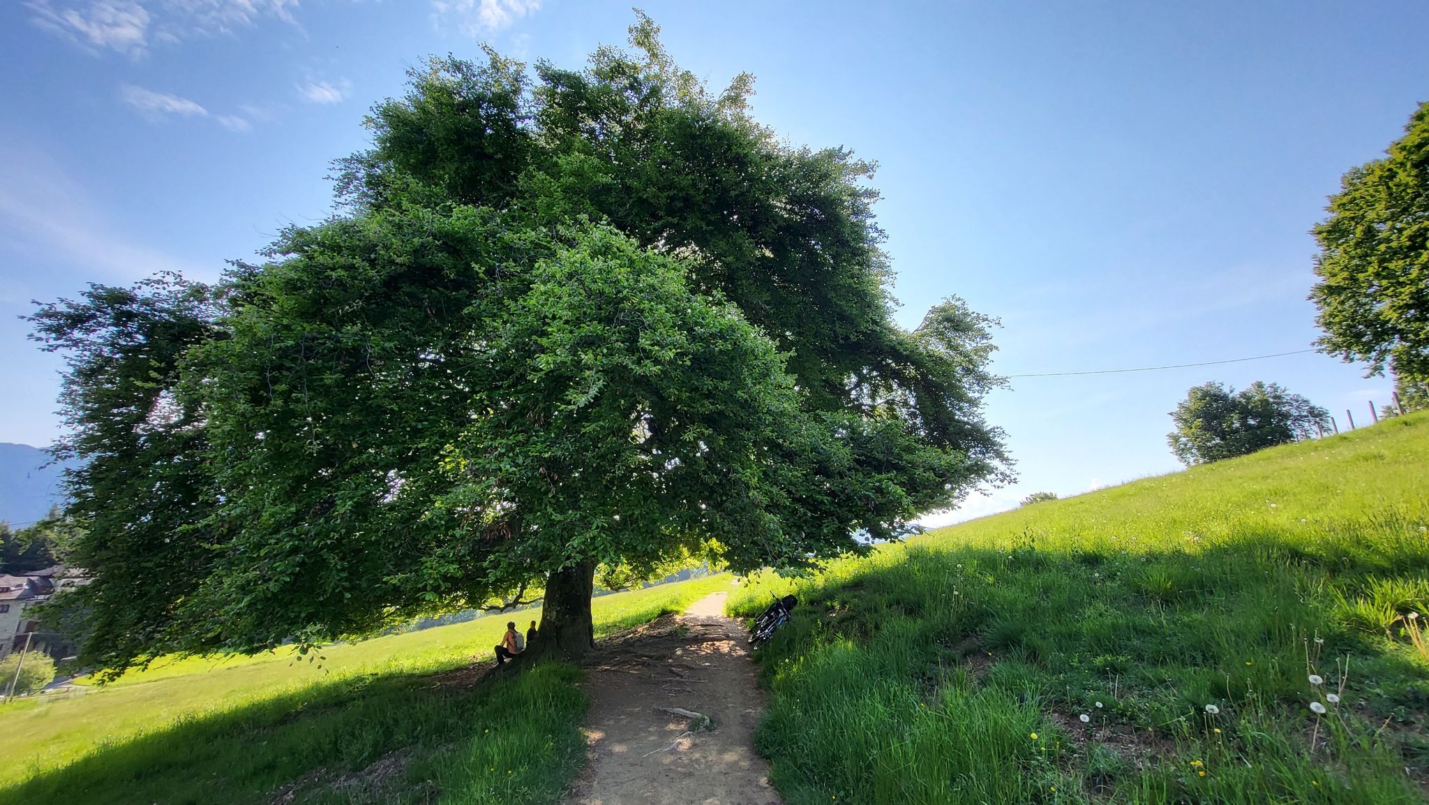
In Val di Scalve – CamminaForeste in Lombardia part 4
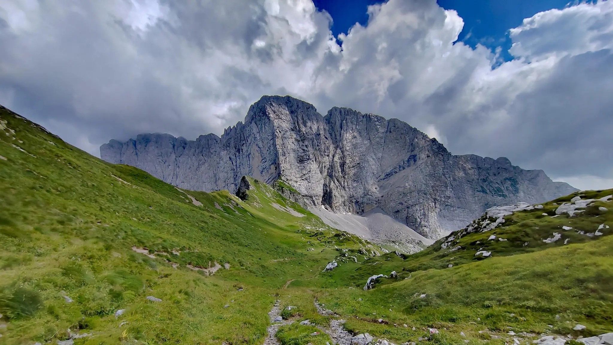
Trekking in val di Scalve – among the Piccoli Dolomiti Bergamasche
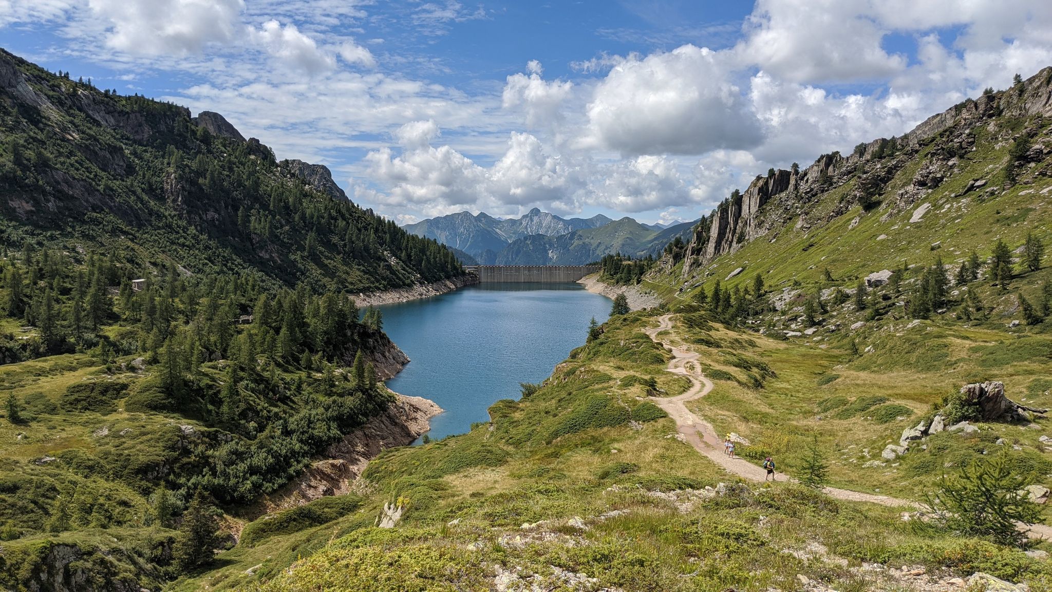
Eastern Orobie Path – a loop through Italy’s Orobie Mountains

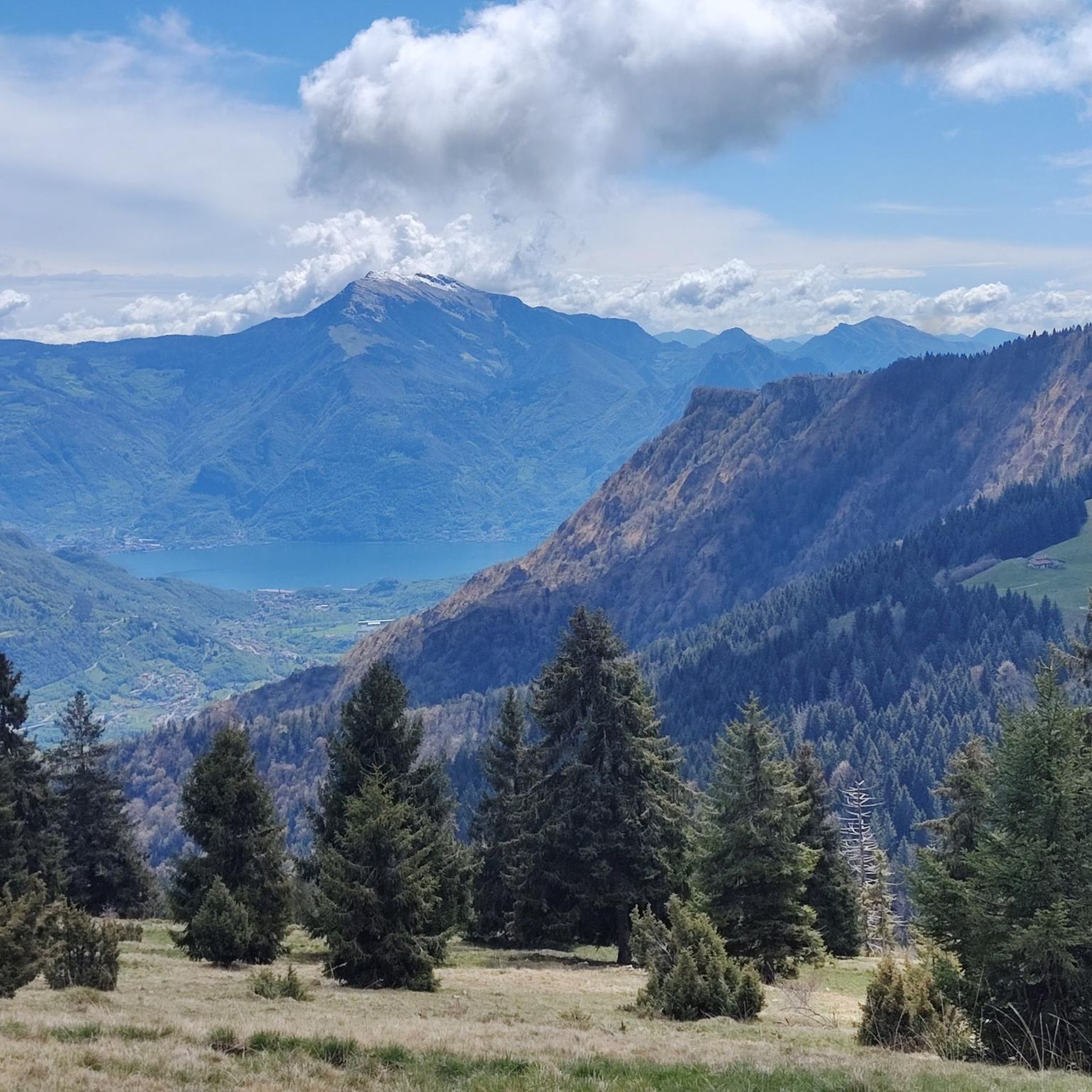
A stone's throw from Presolana – trekking in Italy’s Val Seriana
Cycling around Colere
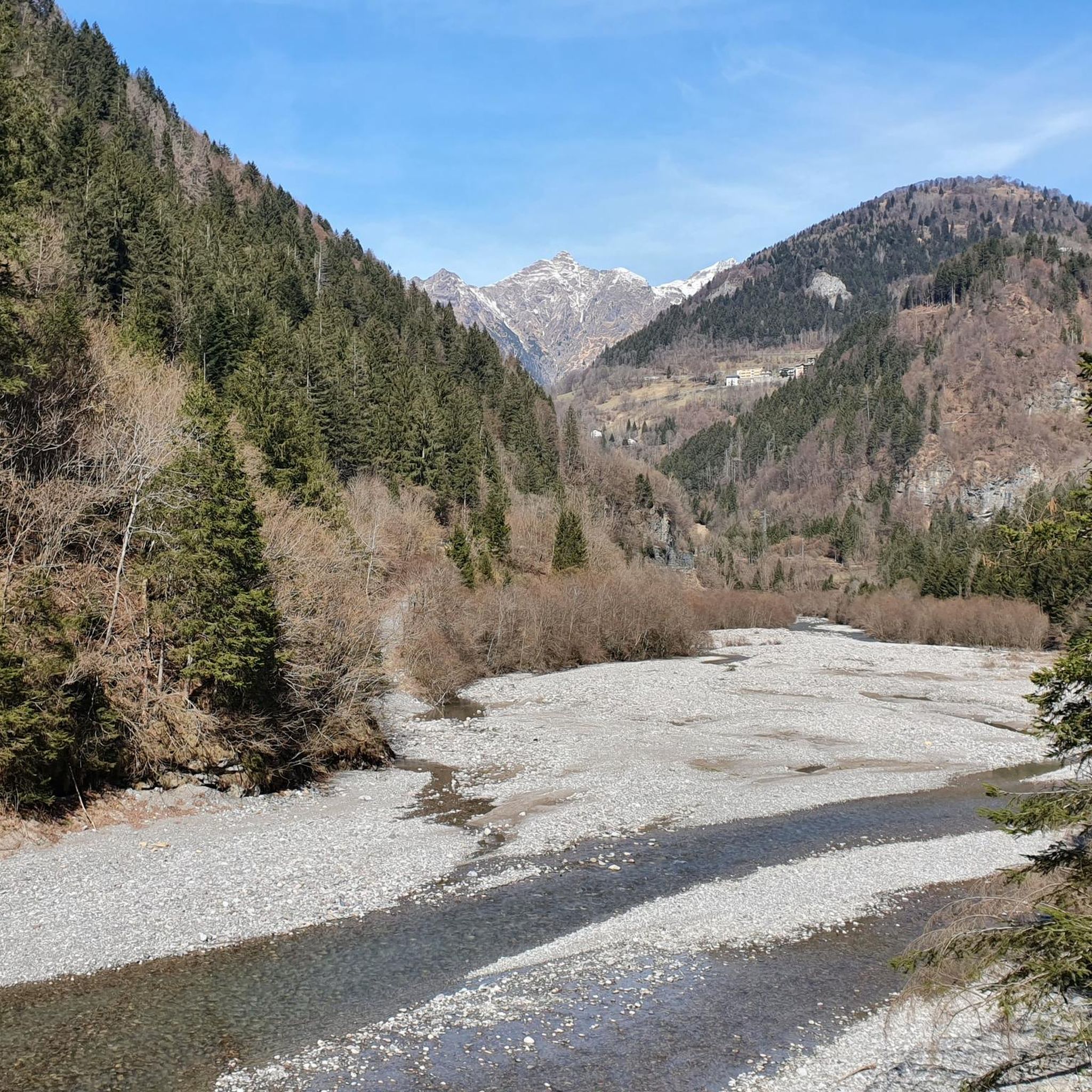
MTB Trails around Colere
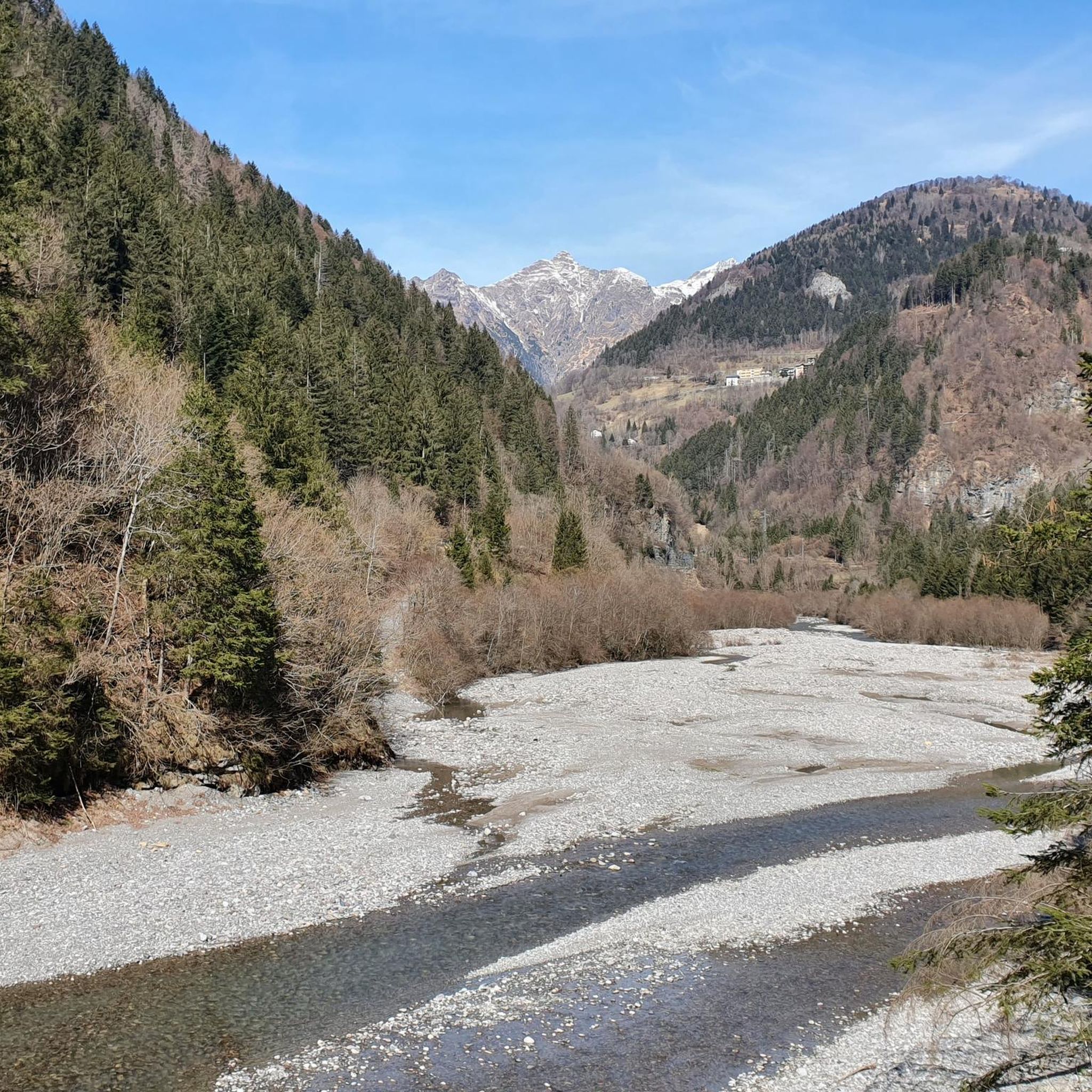
Road Cycling Routes around Colere
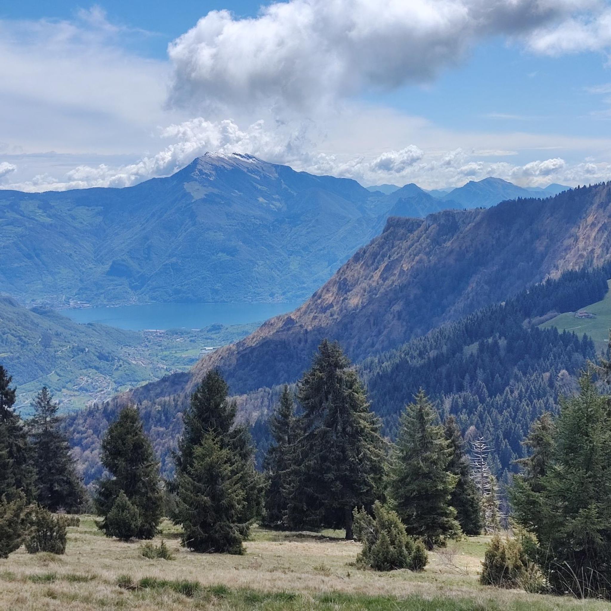
Running Trails around Colere

Gravel biking around Colere
Other adventures around Colere


Tips from the Community


cover charge 1€ extra bread 1€ barley soup 9€ gnocchi with cream, speck, Zola 13€ pasta with ragu 12€ polenta with goulash or stew 16€
0
0


amazing view of the Presolana spectacular!!!
0
0

Wooden bridge variant of the path in the woods
0
0

The trail is suitable for everyone and takes about an hour to reach the refuge. You can either hike along a cobblestone road or through the woods (not recommended if it's snowing in winter because it freezes, and in summer, some sections are very muddy). Be sure to pay extra attention.
0
0

A very characteristic refuge at the foot of the Presolana at 1,940 meters. It can be climbed from Teveno or Colere (in approximately 1 hour 45 and 2 hours 30 minutes). Several peaks can be reached from the refuge; the Curò refuge can be reached via the Giro delle Orobie trail.
0
0

Starting on an easy, low-elevation hike from the parking lot in front of Bar Neve, follow the trail to the Cassinelli Refuge. This tree-shaded trail is one of my favorites for enjoying the mountains, even with those who are struggling. At the refuge, a warm welcome awaits, and authentic Orobic flavors are guaranteed. A must-try if you're looking for a mountain retreat for everyone.
0
0
Frequently Asked Questions
What types of hiking trails can I find around Colere?
Colere, nestled in the Valle di Scalve, offers a diverse range of hiking trails. You'll find everything from easy paths for leisurely walks through mid-mountain forests to challenging alpine routes requiring good fitness. The region features rugged landscapes, emerald green pine woods, and dramatic gorges, providing varied terrain for all skill levels. There are over 50 hiking routes available, with 10 easy, 22 moderate, and 22 difficult options.
Are there any family-friendly hiking routes in the Colere area?
Yes, the Val di Scalve Regional Forest near Colere offers several family-friendly options. These include educational routes like the geological path, the Enchanted Forest with wooden sculptures, and the Bear path at Castello Orsetto, which are designed to engage younger hikers while exploring regional biodiversity. For a more structured hike, there are 10 easy routes suitable for families.
Can I hike with my dog on the trails around Colere?
The Valle di Scalve, with its 'wild oasis of nature' character, generally welcomes dogs on its hiking trails. It's always recommended to keep your dog on a leash, especially in areas with wildlife or near livestock, and to carry waste bags. Always check local signage for any specific restrictions on certain paths or protected areas.
Are there any trails that feature waterfalls or unique natural monuments?
Absolutely. The region boasts several stunning natural features. You can explore the Vò Waterfall, which even becomes a popular ice climbing spot in winter. Another highlight is the Giant's Kettles of Valzurio, a fascinating natural monument. For a more extensive experience, consider the Piana del Vò and Cascata del Vò, or the Waterfalls and Stream Along the Ogna River within the Parco delle Orobie Bergamasche.
What historical landmarks or points of interest can I discover while hiking near Colere?
The area is rich in history. A significant historical landmark is the Diga del Gleno, the ruins of a dam that tragically collapsed in 1923, now offering a reflective hike with panoramic views. You can also experience the dramatic Via Mala, an ancient road carved into rocky cliffs along the Dezzo River, presenting breathtaking views of the rugged landscape and towering rock walls.
Are there any circular hiking routes available in Colere?
While specific circular routes aren't explicitly detailed in the data, many trails in the Valle di Scalve can be combined or adapted to create circular walks. For instance, routes leading to mountain huts like Rifugio Albani often offer different return paths, allowing for a varied loop. Exploring the network around villages like Schilpario also provides opportunities for creating circular excursions.
What is the best time of year to go hiking in Colere?
The best time for hiking in Colere is typically from late spring to early autumn (May to October). During these months, the weather is generally mild, and trails are clear of snow, making them accessible. Summer offers lush green landscapes and warmer temperatures, while autumn provides stunning foliage. Winter transforms the area into a destination for snowshoeing and cross-country skiing, with some trails becoming popular for ice climbing.
How can I reach the hiking trailheads around Colere using public transport?
While Colere is accessible by road, public transport options to specific trailheads can be limited. It's advisable to check local bus schedules, particularly those connecting to larger towns in the Bergamo province, which might have services to villages within the Valle di Scalve like Schilpario. From these villages, some trailheads might be within walking distance or require a short taxi ride. Planning ahead is crucial for public transport users.
Where can I find parking when hiking in Colere?
Parking is generally available in and around the village of Colere and at popular starting points for trails. Many trailheads, especially those leading to well-known refuges or attractions, will have designated parking areas. It's recommended to arrive early during peak season to secure a spot. Always look for official parking signs and respect local regulations.
What do other hikers say about the trails in Colere?
The hiking trails in Colere are highly regarded by the komoot community, boasting an average rating of 4.5 stars from over 1400 reviews. Hikers frequently praise the rugged landscapes, the tranquility of the 'wild oasis of nature,' and the diverse terrain that offers options for all abilities. Many appreciate the stunning Dolomitic peaks and the well-maintained paths.
Are there any challenging multi-day hikes in the Colere region?
Yes, for experienced trekkers, Colere and the Valle di Scalve offer challenging multi-day options. The 'Sinter olt' (High Path) connects Passo del Vivione with Passo di Belviso, maintaining an average altitude of 2200 meters, making it the highest in the valley and suitable for adventurous trekkers. Another demanding route is the Eastern Orobie Trail - Classic Final Stage, which involves significant elevation changes.
Can I find trails that offer panoramic viewpoints of the region?
Many trails in Colere provide spectacular panoramic views, especially those reaching higher elevations or mountain passes. The hike to the ruins of the Diga del Gleno offers striking vistas of the surrounding area. Routes like the Hike from Colere to Albani refuge also lead to elevated points where you can enjoy expansive views of the rugged landscape and the prominent Dolomitic peaks that frame the valley.
Most popular routes around Colere
Most popular attractions around Colere

Get inspired with the komoot mobile app


Explore more
Browse the best Hikes in other regions.
