The best walks and hikes around Enemonzo
4.4
(1390)
5,730
hikers
21
hikes
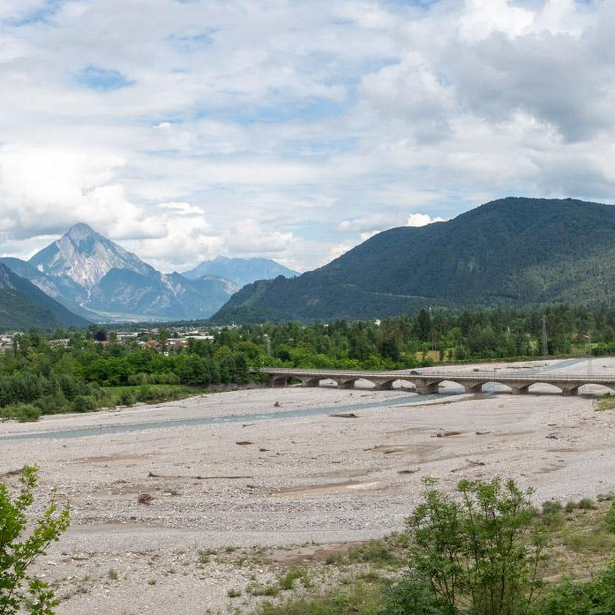
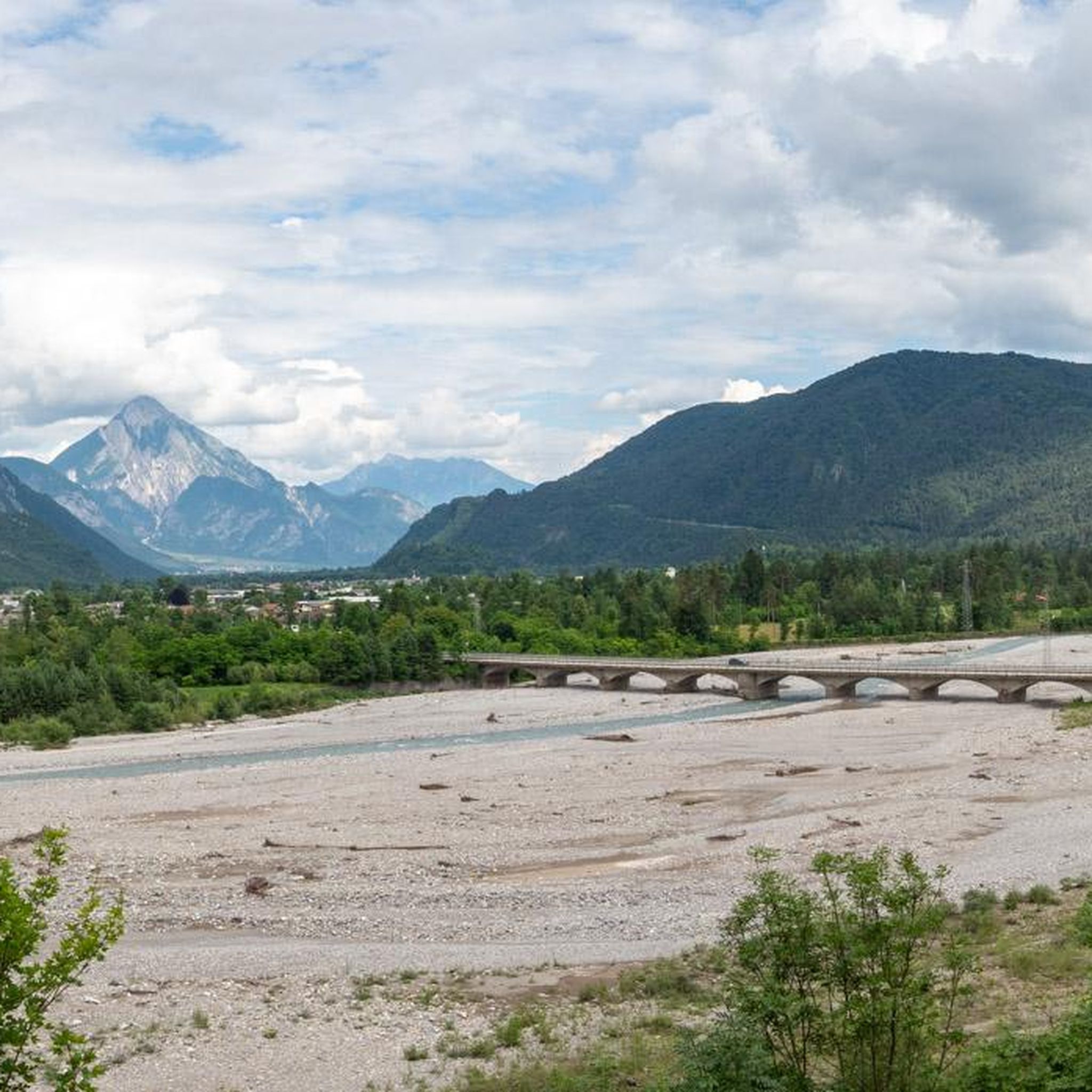
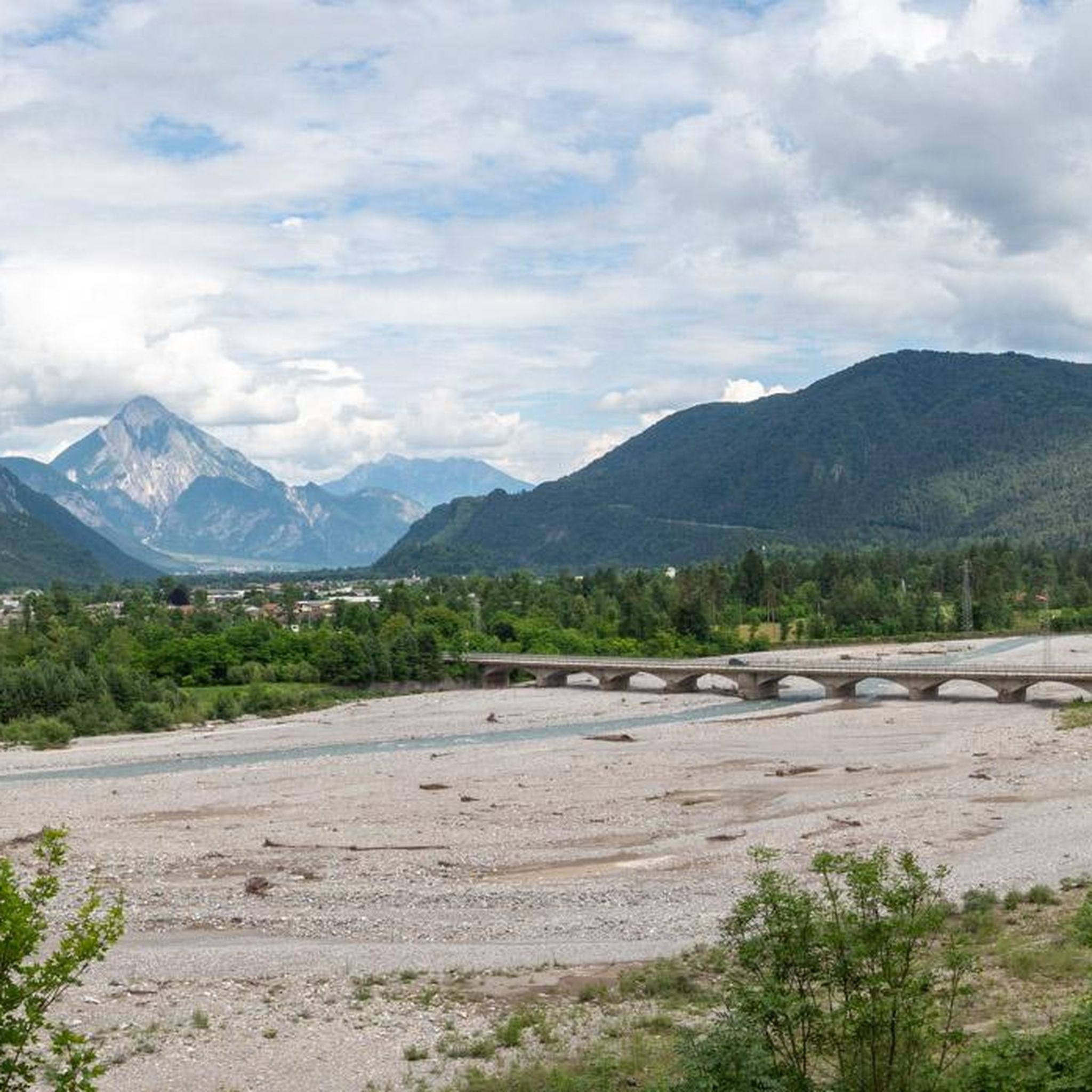
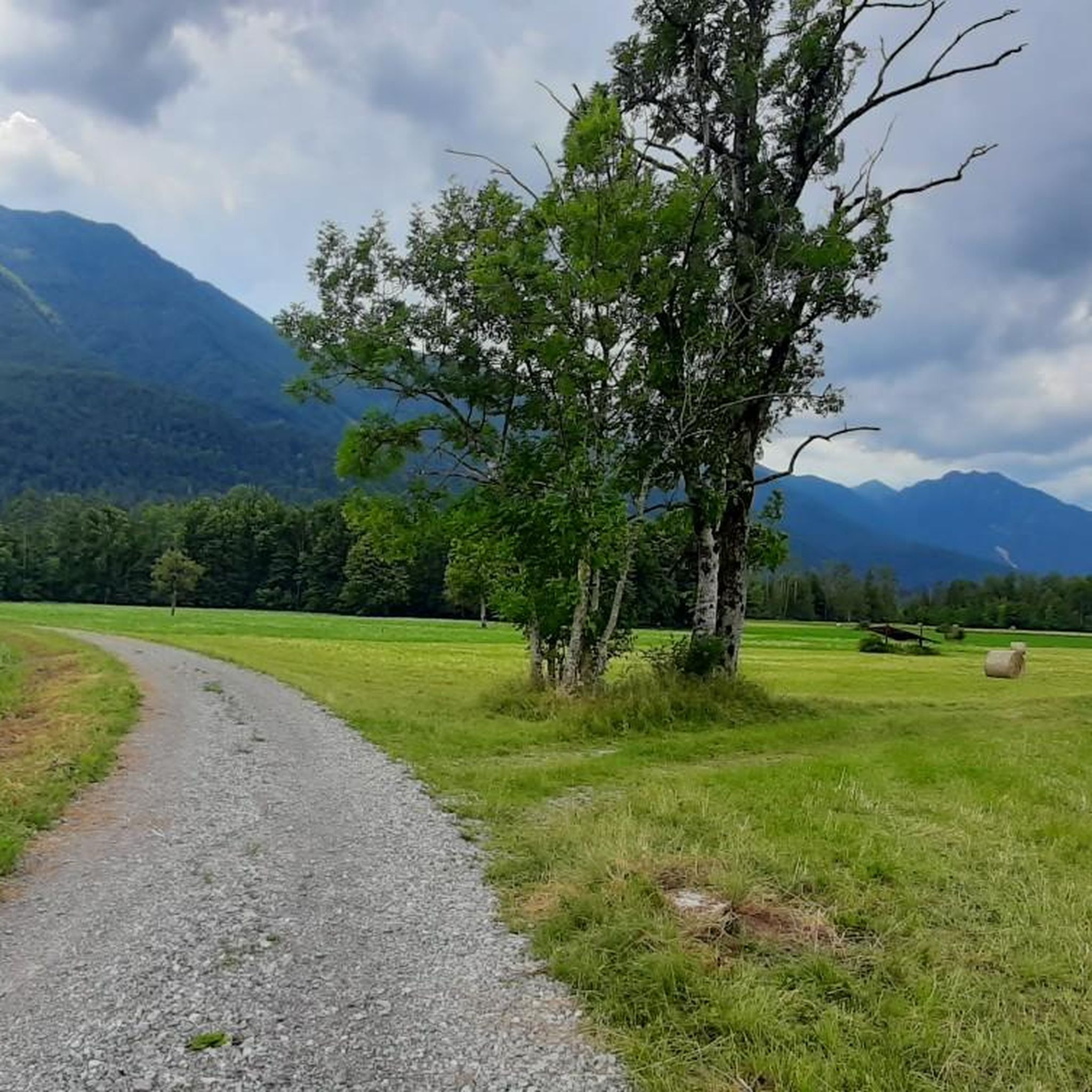
Hiking around Enemonzo offers diverse landscapes within the Tagliamento Valley, nestled in Italy's Friuli-Venezia Giulia region. The area is characterized by the Carnic Hills and the dramatic backdrop of the Carnic Alps, with peaks exceeding 2,000 meters. Hikers can explore the confluence of the Degano stream with the Tagliamento River, known for its intercrossing canals, and traverse gentle alpine pastures and blooming woods.
Best hiking trails around Enemonzo
- The most popular hiking route is Cammino delle Pievi Stage 7, from Enemonzo to Nonta, a 5.9 miles (9.5 km) trail that takes about 2 hours 40 minutes to complete, following an ancient pilgrimage path.
- Another top favourite among local hikers is From Voltois to Stavoli Pian di Raveo (via CAI 221), a moderate 7.0 miles (11.3 km) path. This route features a significant elevation gain of over 1,700 feet (535 meters) through varied terrain.
- Local hikers also love the Stavoli Grant – The Great Solitary Beech loop from Monte Floris, a 3.5 miles (5.7 km) trail leading through alpine pastures and woods, often completed in about 1 hour 50 minutes.
- Hiking around Enemonzo is defined by Carnic Hills, the Tagliamento River, and ancient alpine pastures. The network offers options for easy strolls through gentle hills to challenging treks with significant elevation gain.
- The routes in Enemonzo are highly rated by the komoot community with an average score of 4.4 stars from more than 1,200 reviews. More than 5,000 hikers have used komoot to explore Enemonzo's varied terrain.
Last updated: August 1, 2026
4
hikers
9.54km
02:38
170m
170m
Ancient pilgrimage path connecting Carnic villages through gentle hills and centuries-old spiritual sites.
2
hikers
11.3km
03:41
540m
530m
Peaceful walk through ancient alpine pastures dotted with traditional stone stavoli and local history.

Sign up for free
4.9
(21)
71
hikers
5.65km
01:48
250m
250m
Easy hike. Great for any fitness level. Easily-accessible paths. Suitable for all skill levels.
3.9
(15)
42
hikers
16.2km
05:21
760m
760m
Hard hike. Very good fitness required. Easily-accessible paths. Suitable for all skill levels.
5.0
(5)
30
hikers
15.1km
04:59
700m
700m
Moderate hike. Good fitness required. Easily-accessible paths. Suitable for all skill levels.
Get access to more routes and recommendations from other explorers.
Sign up for free
Already have an account?
Our route recommendations are based on thousands of hikes, rides, and runs completed by other people on komoot.
Start today with a free account
Your next adventure awaits.
Login or Signup


Tips from the Community


The Forcella Pani pass can be reached via three climbs: from Ampezzo, Tartinis, and Raveo. No matter where you choose to climb, it's a grueling encounter with the hills and mountains that await. The whole experience is enhanced by excellent quality roads (paved, asphalted, or concrete) that lead alongside pastures and through shady forests. The cycling experience is complemented by the finest switchbacks built into each climb. The switchbacks are artistic masterpieces of Italian architecture.
2
0
In this area, almost all major roads are paved or concrete—perfect for cycling. What's more, the plateau lies in a basin, making cycling feel like an amphitheater.
0
0
Short, asphalted mountain road section that is wonderful to cycle.
1
0
Magnificent road from which to enjoy beautiful views.
1
0

The solitary centenary beech tree of Pani
1
0

Small church immersed in greenery and surrounded by beautiful stables.
0
0
Frequently Asked Questions
What kind of hiking terrain can I expect around Enemonzo?
Enemonzo offers a diverse range of terrain, from gentle, sunny rises covered in wide grasslands and blooming woods to the dramatic backdrop of the Carnic Alps, with peaks exceeding 2,000 meters. You'll find paths through the Tagliamento and Degano Valleys, ancient alpine pastures, and areas with both soft alpine views and steep ascents.
Are there hiking options for all skill levels in Enemonzo?
Yes, Enemonzo caters to a wide range of hikers. You can find easy strolls through alpine pastures, moderate trails requiring good fitness, and challenging treks for experienced hikers with significant elevation gains. The area features 5 easy routes, 9 moderate routes, and 1 difficult route.
Are there any easy, family-friendly walks around Enemonzo?
Absolutely. Many paths are easily accessible and suitable for all skill levels. An example is the Stavoli Grant – The Great Solitary Beech loop from Monte Floris, which is an easy 3.5-mile (5.7 km) trail through alpine pastures and woods, taking about 1 hour 50 minutes. Another easy option is the Hiking loop from Raveo / Raviei.
Can I find circular hiking routes in Enemonzo?
Yes, there are several circular routes available. For an easy option, consider the Stavoli Grant – The Great Solitary Beech loop from Monte Floris. For a more challenging experience, the Stavoli Valdie – Chiesetta di Valdie loop from Raveo / Raviei offers a difficult 10-mile (16.2 km) trek with over 2,400 feet (750 meters) of elevation gain.
What natural features or landmarks can I see while hiking in Enemonzo?
Hikers can enjoy panoramic views of the Tagliamento Valley and the Degano Valley, witness the confluence of the Degano stream with the Tagliamento River (known as the 'King of Alpine rivers'), and explore ancient alpine pastures dotted with traditional stone 'stavoli' (huts). Notable highlights in the broader region include the Tagliamento River and various mountain passes like Passo Rest. You can also find several huts, such as Tamai Hut and Casera Avrint.
What is the best time of year for hiking in Enemonzo?
The region is generally best for hiking during spring, summer, and early autumn when the weather is mild and the alpine pastures are in bloom. The diverse landscapes, from gentle hills to rugged mountains, offer pleasant conditions for most of the year outside of winter, which can bring snow and more challenging conditions at higher elevations.
Are there any challenging routes for experienced hikers?
Yes, for experienced hikers seeking a greater challenge, there are routes exceeding five hours or with over 3,000 feet of elevation gain, demanding very good fitness and alpine experience. An example is the difficult Stavoli Valdie – Chiesetta di Valdie loop from Raveo / Raviei, which covers 10 miles (16.2 km) with significant elevation changes.
What do other hikers enjoy most about hiking in Enemonzo?
The area is highly rated by the komoot community, with an average score of 4.4 stars from over 1,200 reviews. Hikers often praise the diverse landscapes, from the gentle hills and blooming woods to the dramatic Carnic Alps, and the well-maintained paths that cater to various skill levels. The blend of natural beauty and cultural insights, like the ancient pilgrimage paths, is also frequently highlighted.
Are there any historical or cultural points of interest along the trails?
Yes, the area is rich in history and culture. You can follow ancient pilgrimage paths connecting Carnic villages, such as Cammino delle Pievi Stage 7, which leads through gentle hills and centuries-old spiritual sites. You'll also encounter traditional stone 'stavoli' (huts) in the alpine pastures, offering a glimpse into local heritage.
How can I reach the hiking trails around Enemonzo by public transport?
While specific public transport routes directly to all trailheads can vary, Enemonzo is part of the Friuli-Venezia Giulia region, which has a regional bus network. It's advisable to check local bus schedules for connections to Enemonzo and nearby villages like Raveo or Voltois, which serve as starting points for several routes. Planning ahead is recommended as services might be less frequent in rural areas.
Are there any routes that offer views of the Tagliamento River?
Yes, many routes in the Enemonzo area offer views of the Tagliamento River, often referred to as the 'King of Alpine rivers' due to its unique intercrossing canals. The confluence of the Degano stream with the Tagliamento River is a key natural highlight, and trails traversing the Tagliamento Valley will provide excellent vantage points.
Are there any long-distance or multi-day hiking opportunities?
While the guide focuses on day hikes, the region's network of trails, including ancient pilgrimage paths like the Cammino delle Pievi, can be combined for longer excursions. For instance, Cammino delle Pievi Stage 7 is part of a larger route, suggesting possibilities for multi-day adventures by connecting different stages or trails.
Most popular routes around Enemonzo
Most popular attractions around Enemonzo

Get inspired with the komoot mobile app


Explore more
Browse the best Hikes in other regions.
