The best gravel rides around Enemonzo
4.5
(38)
370
riders
24
rides
Gravel biking around Enemonzo features routes characterized by significant elevation changes, traversing mountain passes and river valleys. The terrain includes challenging climbs and descents, often on unpaved roads and forest tracks. The region's landscape is defined by its mountainous character, with routes leading to high points and along waterways like the Degano River and Būt Stream. These routes offer extensive views and a demanding gravel biking experience.
Best gravel bike trails around Enemonzo
- The most popular gravel bike trail is…
Last updated: November 4, 2026
4.7
(15)
152
riders
47.1km
03:53
1,690m
1,690m
Hard gravel ride. Very good fitness required. Mostly paved surfaces.
4.3
(10)
63
riders
52.1km
03:05
530m
530m
Hard gravel ride. Very good fitness required. Mostly paved surfaces.

5.0
(1)
25
riders
41.0km
03:42
1,670m
1,670m
Hard gravel ride. Very good fitness required. Mostly paved surfaces.
5.0
(5)
28
riders
47.3km
03:49
1,380m
1,380m
Hard gravel ride. Very good fitness required. Mostly paved surfaces.
14
riders
41.6km
03:43
1,680m
1,690m
Hard gravel ride. Very good fitness required. Mostly paved surfaces.
Get access to more routes and recommendations from other explorers.
Already have an account?
Our route recommendations are based on thousands of hikes, rides, and runs completed by other people on komoot.
Start today with a free account
Your next adventure awaits.

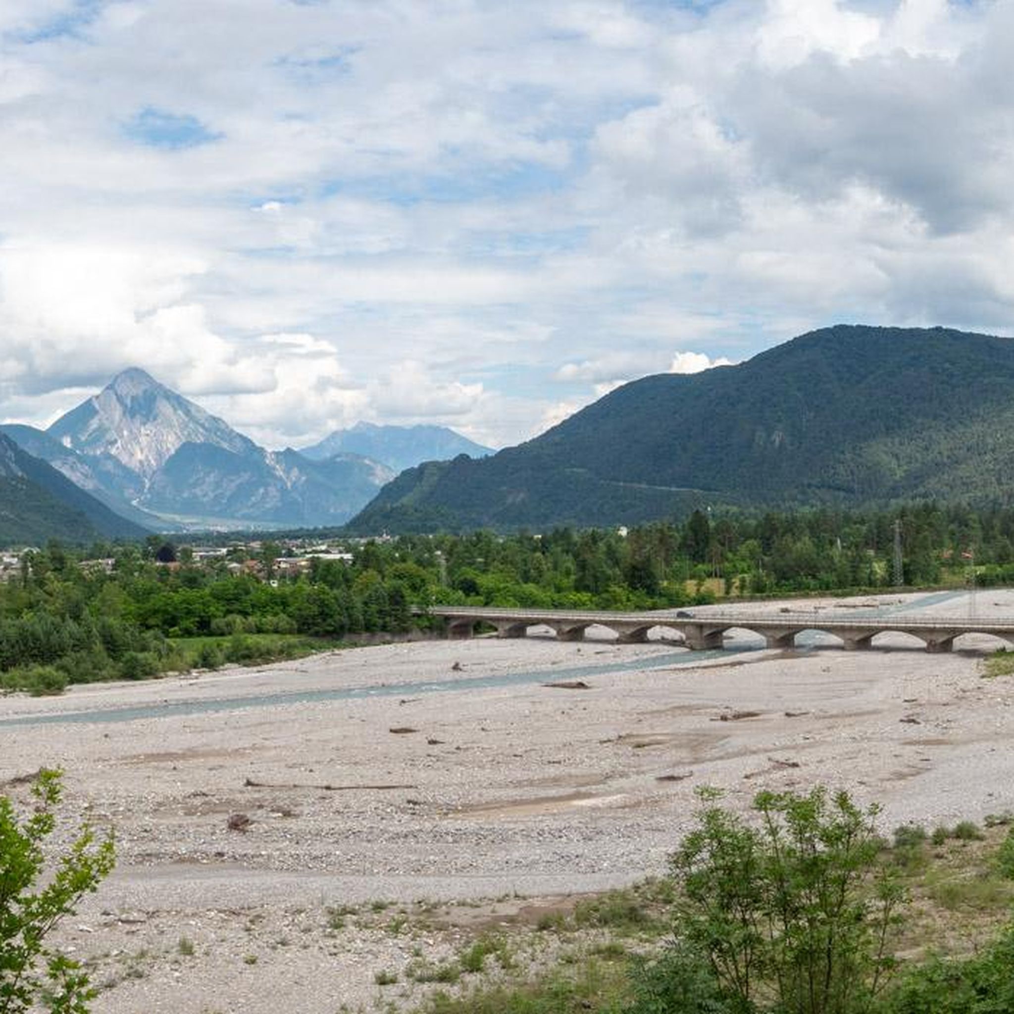
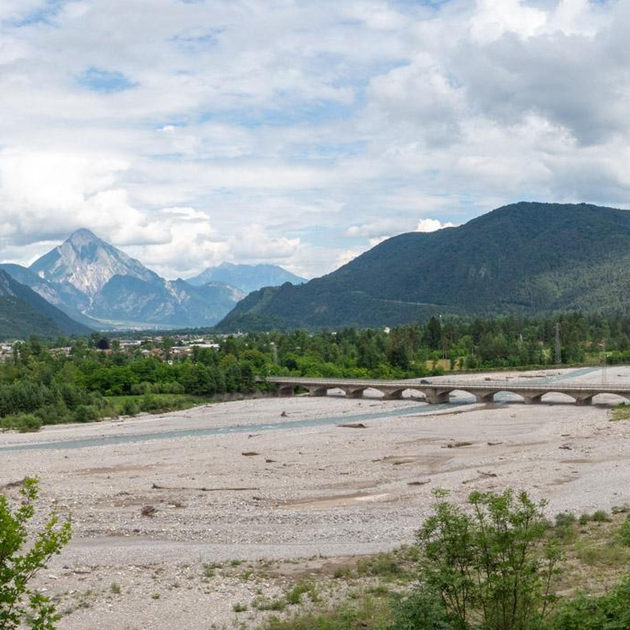
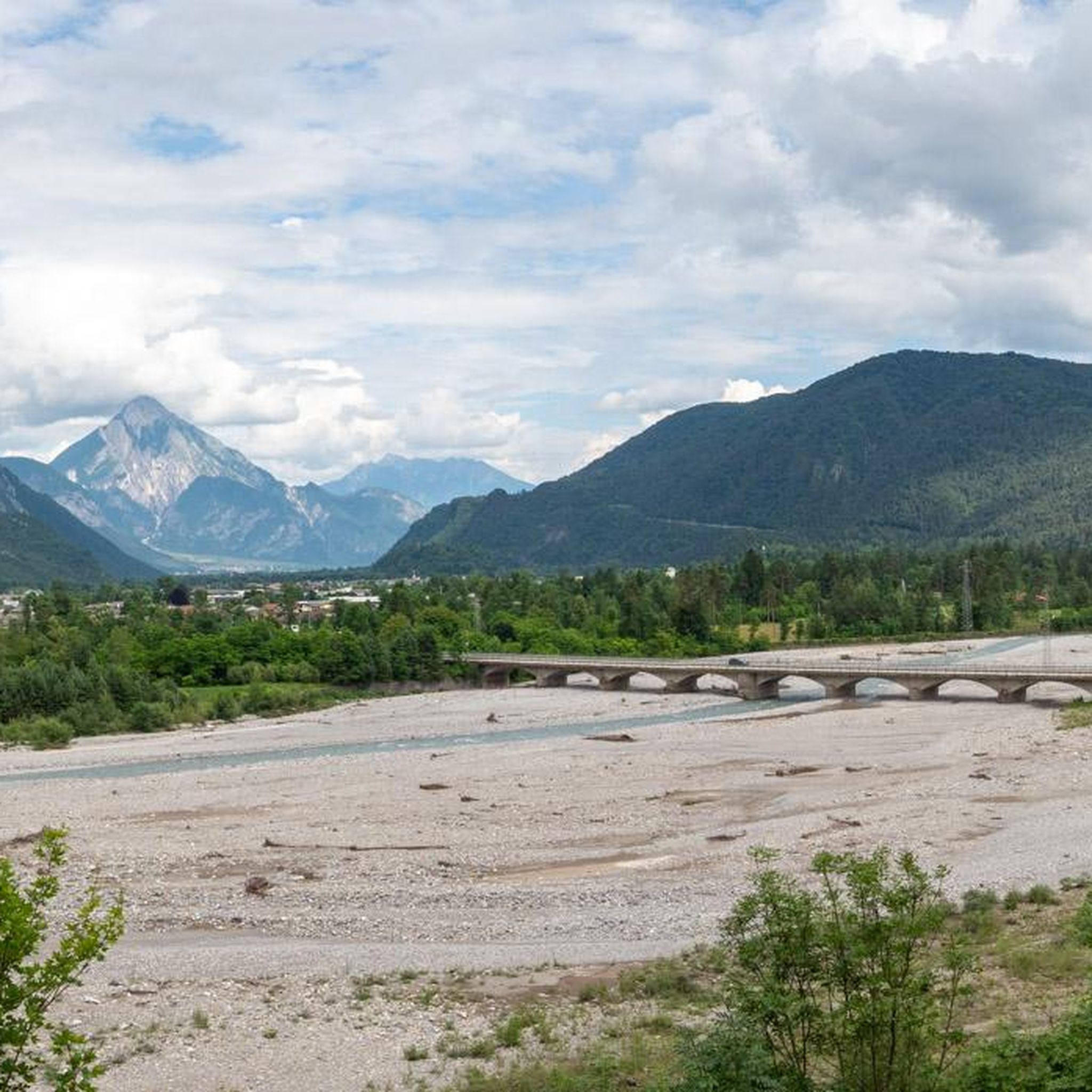
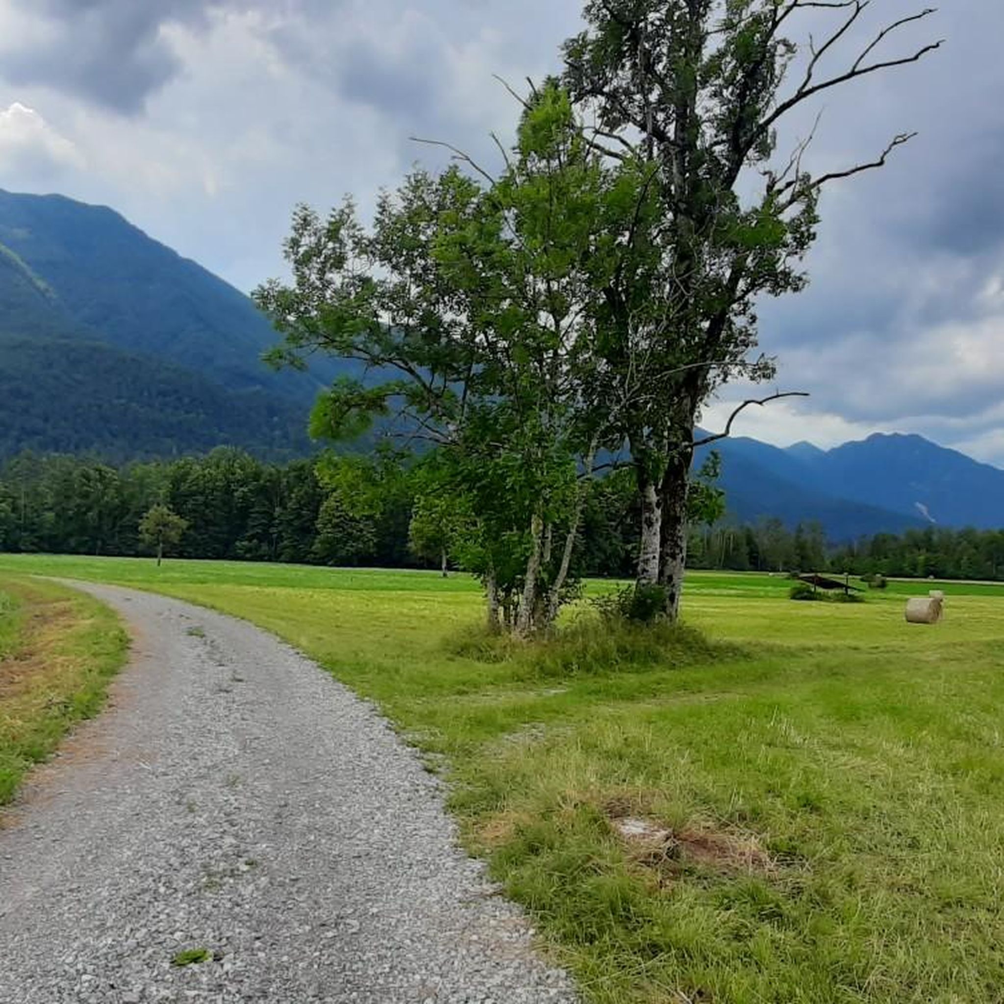

Tips from the Community

• Riding the FVG 6 trail, you move along one of the most important defensive lines of the Cold War. Along the river, the Italians built hundreds of bunkers camouflaged in bushes and rocks, which were part of the top-secret Sbarramento arretrato system. The task of these hidden machine-gun nests and armored positions was to turn the wide riverbed into a death zone in the event of an invasion by Warsaw Pact troops. You pass many of these concrete entrances just a few meters from your handlebars.
0
0
• Since the riverbed consists entirely of thick layers of limestone and dolomite, the river acts as a giant, natural filtration system. The water seeps through kilometers of rock, automatically cleansing itself of all sediments. For this reason, the Tagliamento retains its incredible, surreal turquoise-emerald hue even when it flows through densely populated lowlands.
0
0
• Exactly under the Monte San Simeone massif was the vertical epicenter of the catastrophic earthquake of May 6, 1976. A powerful tectonic strike with a magnitude of 6.5 on the Richter scale tore the mountain from the inside. Giant tremors tore millions of tons of rock from the slopes, which crashed with a monstrous roar onto the towns of Bordano and Venzone lying at the foot of the mountain, turning them into rubble. Riding along the road here, you are literally riding on Europe's tectonic scar.
0
0

The south/east shore is nicer for hiking. On the opposite side of the shore, you walk along a road. Lake Cavazzo, also known as the Lake of the Three Municipalities, is the largest lake in Friuli-Venezia Giulia and, with a length of 2250 meters, washes around the villages of Cavazzo Carnico, Trasaghis, and Bordano. The lake, which is of glacial origin, is swimmable and its calm water allows for a variety of water activities.
3
0

Mega-cool, beautifully developed cycle path on the right bank of the Tagliamento. Partially fairytale-like sections, many clearings with views of the Tagliamento, in autumn be careful of possible slippery conditions due to falling leaves from trees.
0
0
Easy access to the right bank. From the bank, an almost classic view of the bunker. With the sunset, great reflections form in the Tagliamento river.
0
0

Three unlit, relatively narrow tunnels
2
0
Going down is always a pleasure, even if it really puts the brakes to the test. Have fun on the ascent.
2
0
Frequently Asked Questions
What kind of gravel biking experience can I expect around Enemonzo?
Gravel biking around Enemonzo is characterized by significant elevation changes, traversing mountain passes, and following river valleys. The terrain features demanding climbs and descents, often on unpaved roads and forest tracks, offering extensive views and a challenging experience primarily suited for experienced gravel bikers.
Are there any easy or family-friendly gravel bike trails in Enemonzo?
The gravel biking routes around Enemonzo are predominantly difficult, with 14 out of 15 routes rated as such. There is one moderate route, but generally, the area is best suited for experienced riders seeking challenging ascents and descents rather than easy or family-friendly options.
What are some of the most challenging gravel bike routes with significant elevation gain?
Enemonzo is known for its challenging routes. For instance, the Laghetto di Villa Santina – Panoramica delle Vette loop from Tolmezzo / Tumieç covers 81.6 km with over 2000 meters of elevation gain. Another demanding option is the Monte Zoncolan Pass Road – Zoncolan loop from Comeglians / Comelians, which features substantial climbs towards the Monte Zoncolan Pass over 65.4 km and 1690 meters of ascent.
Are there circular gravel bike routes available in the Enemonzo area?
Yes, many of the gravel bike routes around Enemonzo are designed as loops. For example, the Zuglio – Būt Stream loop from Tolmezzo / Tumieç is a 47.3 km circular trail leading through river valleys and mountainous areas. Another is the Monte Zoncolan Pass Road – Saddle of Monte Zoncolan loop from Ovaro / Davâr, offering a challenging circular ride.
What kind of viewpoints or natural attractions can I expect along the gravel bike trails?
The routes often provide extensive views due to the mountainous terrain. You can find highlights such as the Lauco Panoramic Terrace. The region is also home to several mountain passes like Sella Chianzutan Pass and Passo del Pura, offering scenic vistas. Additionally, you might encounter waterfalls like the Plera Waterfall or the Arzino Waterfalls.
What do other gravel bikers say about the trails in Enemonzo?
The gravel biking routes in Enemonzo are highly rated by the komoot community, with an average score of 4.2 stars from over 10 reviews. Nearly 200 gravel bikers have explored the varied and demanding terrain, often praising the challenging ascents and the rewarding panoramic views.
What is the best time of year for gravel biking in Enemonzo?
Given the mountainous character and significant elevation, late spring through early autumn (May to October) generally offers the most favorable conditions for gravel biking in Enemonzo. During these months, trails are typically clear of snow, and the weather is more stable, though conditions can change rapidly in the mountains.
Are there any gravel bike routes that follow the Degano River or Būt Stream?
Yes, the region's landscape is defined by its waterways. The Zuglio – Būt Stream loop from Tolmezzo / Tumieç leads through river valleys and mountainous areas, incorporating the Būt Stream. You can also find routes that offer views of the Degano River, such as the View of the Degano River – Saddle of Monte Zoncolan loop from Ovaro / Davâr.
What should I wear for gravel biking in Enemonzo?
Due to the significant elevation changes and varied terrain, it's advisable to wear layers that can be adjusted for temperature fluctuations. Technical cycling apparel, including padded shorts, a moisture-wicking base layer, and a wind/water-resistant jacket, is recommended. A helmet, gloves, and appropriate cycling shoes are essential for safety and comfort on these demanding routes.
Are there any specific parking areas or trailheads for gravel biking in Enemonzo?
While specific parking areas aren't detailed for every route, many tours start from towns like Comeglians, Tolmezzo, or Ovaro. These towns typically offer public parking facilities. It's always a good idea to check local parking regulations and availability before heading out, especially during peak season.
Can I bring my dog on the gravel bike routes near Enemonzo?
The gravel bike routes around Enemonzo traverse varied terrain, including unpaved roads and forest tracks. While many areas in nature are dog-friendly, it's crucial to ensure your dog is fit enough for challenging rides and that you adhere to local regulations regarding dogs on trails, especially in protected areas or near livestock. Always keep your dog on a leash and carry water for both of you.
Most popular routes around Enemonzo
Most popular attractions around Enemonzo

Get inspired with the komoot mobile app


Explore more
Browse the best Gravel rides in other regions.
