The best running trails around Cercivento
4.9
(14)
768
runners
88
runs
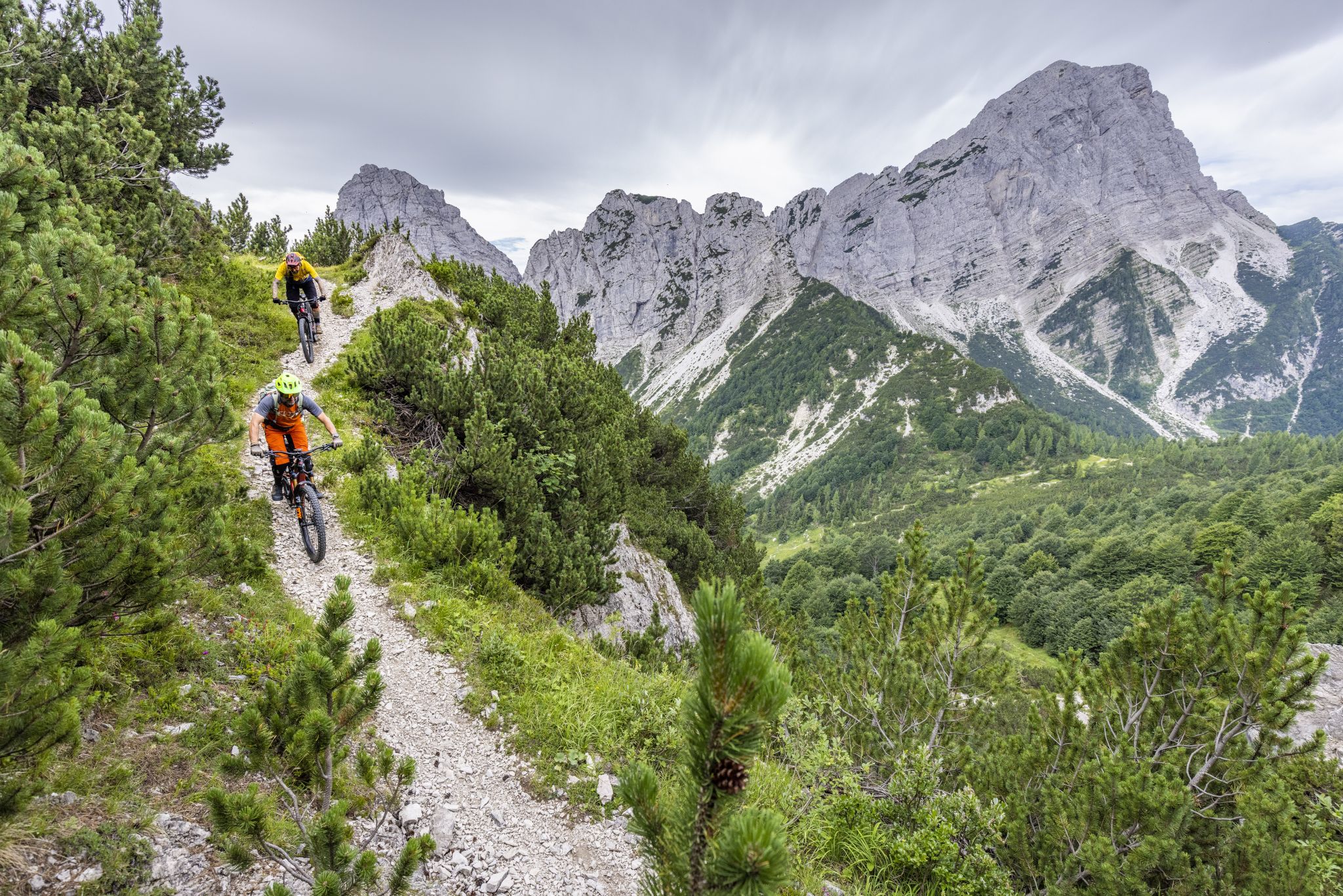
Jogging around Cercivento offers access to the diverse and scenic natural landscape of Italy's Carnic Alps. The region features mountainous terrain with peaks like Monte Tenchia and Monte Zoufplan, alongside lush conifer forests and picturesque valleys such as Val Degano and Val Calda. Joggers can explore a network of trails that traverse various environments, including forest tracks, historical mule tracks, and quieter asphalt roads. This area provides varied experiences and difficulty levels, catering to different fitness levels.
Best jogging routes…
Last updated: August 1, 2026
19
runners
11.6km
01:35
660m
660m
Hard run. Very good fitness required. Mostly accessible paths. Some sure footedness required.
4
runners
27.0km
05:03
1,940m
1,940m
Hard run. Very good fitness required. Sure-footedness, sturdy shoes and alpine experience required.

Sign up for free
13
runners
Hard run. Very good fitness required. Mostly paved surfaces. Suitable for all skill levels.
14
runners
Moderate run. Good fitness required. Mostly paved surfaces. Suitable for all skill levels.
5.0
(1)
26
runners
12.5km
01:52
650m
650m
Hard run. Very good fitness required. Sure-footedness, sturdy shoes and alpine experience required.
Get access to more routes and recommendations from other explorers.
Sign up for free
Already have an account?
Our route recommendations are based on thousands of hikes, rides, and runs completed by other people on komoot.
Start today with a free account
Your next adventure awaits.
Login or Signup

Other adventures around Cercivento

Tips from the Community

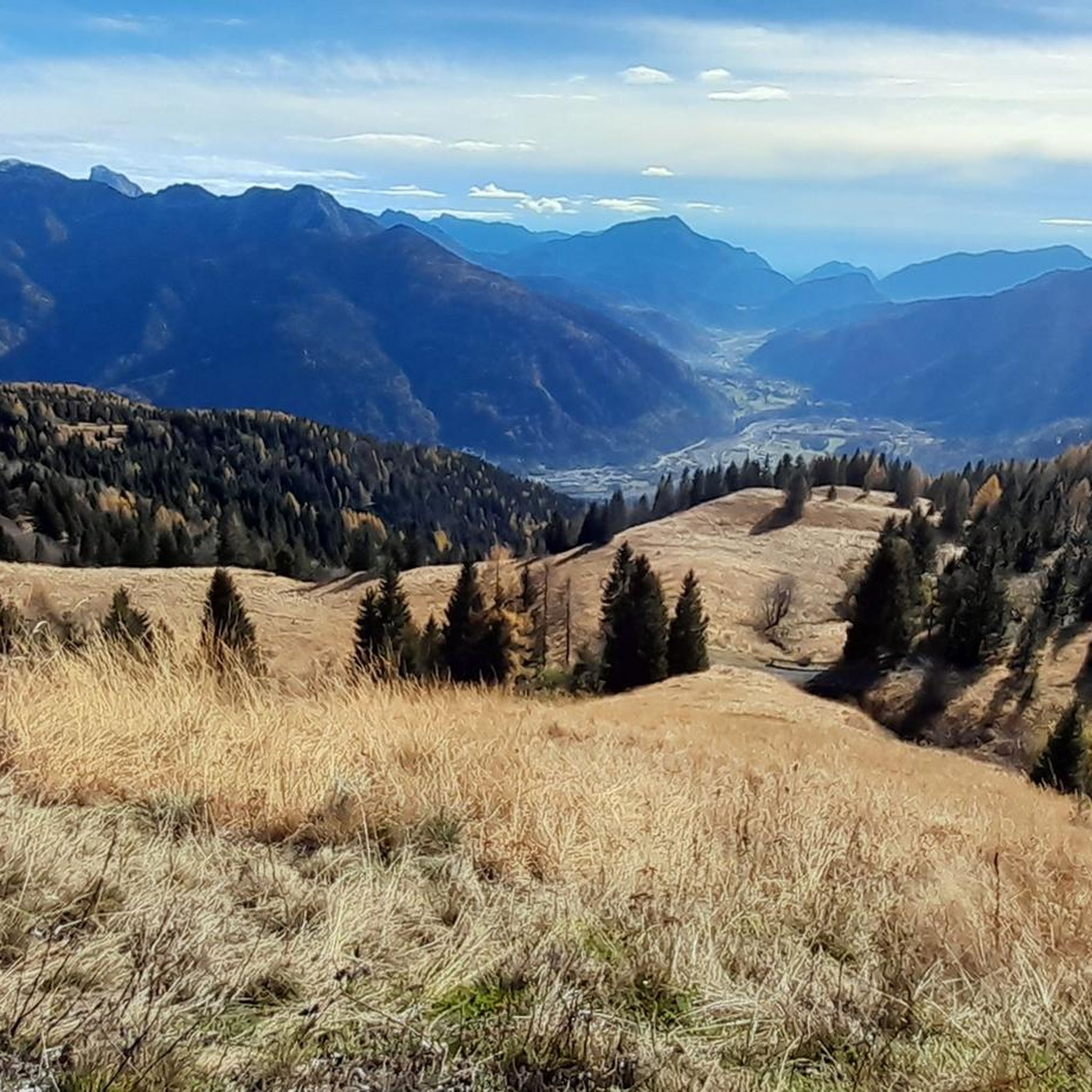
A fantastic 360-degree panoramic view of the mountain worlds in all directions rewards the ascent/ride.
0
0

The hike is best done in the direction as indicated in Komoot. So, do the ascending part first because that path is very narrow and much more difficult to descend. The Rifugio Tamai is very nice, a pleasant place to stay a bit longer, beautiful view, natural playground for children, llamas and donkeys in the pasture, a large swing overlooking the mountains, delicious coffee, …
0
0

Pedestrian-cycle bridge to Sutrio
4
0

In addition to its role as a cycling arena, Monte Zoncolan is a multi-purpose tourist destination. In winter, you can enjoy downhill runs of varying difficulty (ranging from blue to black). The Zoncolan Ski Area offers a variety of challenging trails (both fast technical sections and steep walls), making it ideal for slalom and giant slalom training. The location in Friuli-Venezia Giulia offers good snow conditions, but also a relatively quiet base – fewer tourists than in the Dolomites. Modern infrastructure (the Ravascletto–Zoncolan gondola and artificial snowmaking system) allows for regular training even in inclement weather. If you visit Ravascletto in winter, it's not unusual to see sections of the trails marked "chiuso per allenamento" (closed for training) – a sign that national teams or clubs are training there. In summer, you can enjoy a network of trails of varying difficulty—from family walks to challenging mountain treks. The areas are well-marked and have infrastructure (huts, rifuges, viewpoints).
0
0
They are also intended to emphasize that Zoncolàn is not just a place for one Giro hero, but for the entire peloton, all the cyclists and cyclists who have arrived here.
1
0
The three bicycles symbolize the community of cyclists, both professional and amateur, who have conquered this mountain.
1
0
Pure Italian modernism - a bridge like this in a valley that ends uphill and is not used by many cyclists seems almost gigantic here.
3
0

Take the climb calmly, enjoy the view and don't rush to get there.
2
0
Frequently Asked Questions
How many running routes are available in Cercivento?
Cercivento offers a wide selection of over 80 running routes, catering to various fitness levels. You'll find everything from moderate paths to challenging treks with significant elevation changes through the Carnic Alps.
What types of terrain can I expect on the jogging trails in Cercivento?
The jogging trails in Cercivento traverse a diverse landscape. You can expect mountainous terrain with peaks like Monte Tenchia and Monte Zoufplan, lush coniferous forests, and scenic valleys such as Val Degano and Val Calda. The paths themselves vary, including forest tracks, historic mule tracks, and quieter asphalt roads.
Are there any easy or beginner-friendly running routes in Cercivento?
While many routes in Cercivento are challenging, there are options suitable for those seeking an easier run. The region offers a mix of paths, including some that are accessible to all skill levels. For a moderate option, consider the Running loop from Cercivento / Çurçuvint, which covers about 9.4 km.
What is the best time of year for trail running in Cercivento?
The best time for outdoor activities, including trail running in Cercivento, is generally from late spring to early autumn, specifically from May to October. During these months, the weather is milder, and the trails are typically clear of snow, offering optimal conditions for exploring the mountainous terrain.
Are there any scenic running routes with great viewpoints?
Absolutely. The mountainous landscape of Cercivento provides numerous opportunities for scenic runs with panoramic views. Routes like the Monte Zoncolan Pass Road – Mount Tamai loop from Località Zoncolan offer demanding climbs rewarded with expansive mountain vistas.
Can I find circular running routes in the area?
Yes, Cercivento features several circular running routes. These loops allow you to start and finish in the same location, making logistics easier. Examples include the Monte Zoncolan Pass Road – Mount Tamai loop and the Bacino di innevamento Goles – Monte Zoncolan loop.
Are there any longer distance running options for experienced runners?
Experienced runners looking for a challenge will find several longer distance options. The Rifugio Casera Pramosio loop from Rivo / Riu is a difficult 27.0 km path with significant elevation gain through alpine landscapes, perfect for a long-distance run.
What attractions or landmarks can I see near the jogging routes?
Many running routes in Cercivento offer proximity to natural and cultural attractions. You might encounter impressive alpine lakes such as Lake Wolayer or Lago Avostanis. Some trails also follow ancient pilgrimage paths, blending natural beauty with historical elements, and the village itself features the 'Open-air Bible' artistic itinerary.
Are the running trails in Cercivento dog-friendly?
While many trails in the Carnic Alps are generally accessible for dogs, it's always recommended to check local regulations and signage for specific routes, especially those passing through protected areas or private lands. Always keep your dog on a leash and clean up after them.
Are there family-friendly jogging routes in Cercivento?
Cercivento offers a range of trails, including easier paths that are accessible to all skill levels, making them suitable for families. While some routes are challenging, you can find moderate options that provide a pleasant experience for a family jog or walk. Look for routes with less elevation gain and shorter distances.
Where can I find parking for the running trails?
Parking availability varies by trailhead. For routes starting from specific localities like Località Zoncolan or Rivo / Riu, you can often find designated parking areas. It's advisable to check the specific route details on komoot for information regarding parking at the starting point of your chosen trail.
How do other runners rate the trails in Cercivento?
The running trails in Cercivento are highly regarded by the komoot community, holding an impressive average score of 4.6 stars from numerous reviews. Runners frequently praise the varied terrain, the stunning mountainous scenery, and the well-maintained network of paths that offer diverse experiences.
Most popular routes around Cercivento
Most popular attractions around Cercivento

Get inspired with the komoot mobile app


Explore more
Browse the best Running Trails & Routes in other regions.
