The best running trails around Zignago
3.0
(2)
66
runners
5
runs
Jogging around Zignago offers diverse landscapes within the Ligurian Apennines, providing varied and engaging routes. The region features mountainous terrain, tranquil waters, and historical pathways. Runners can explore trails leading to prominent peaks like Monte Gottero, or enjoy serene settings around Lago Verde. The area provides a mix of challenging ascents and picturesque panoramic roads.
Best jogging routes around Zignago
- The most popular jogging route is Running loop from Mulazzo, a 6.9 miles (11.1 km) difficult trail that takes…
Last updated: October 2, 2026
1.0
(1)
10
runners
11.1km
01:16
320m
320m
Hard run. Very good fitness required. Mostly paved surfaces. Suitable for all skill levels.
4
runners
7.37km
00:54
170m
170m
Moderate run. Good fitness required. Mostly accessible paths. Some sure footedness required.

6
runners
10.3km
01:05
80m
80m
Moderate run. Good fitness required. Mostly paved surfaces. Suitable for all skill levels.
3
runners
Hard run. Very good fitness required. Mostly accessible paths. Some sure footedness required.
3
runners
9.76km
01:05
220m
220m
Moderate run. Good fitness required. Mostly paved surfaces. Suitable for all skill levels.
Our route recommendations are based on thousands of hikes, rides, and runs completed by other people on komoot.
Start today with a free account
Your next adventure awaits.
Tips from the Community

panoramic view of the small village of Bracelli
0
0
panoramic view of the village of Bracelli
0
0

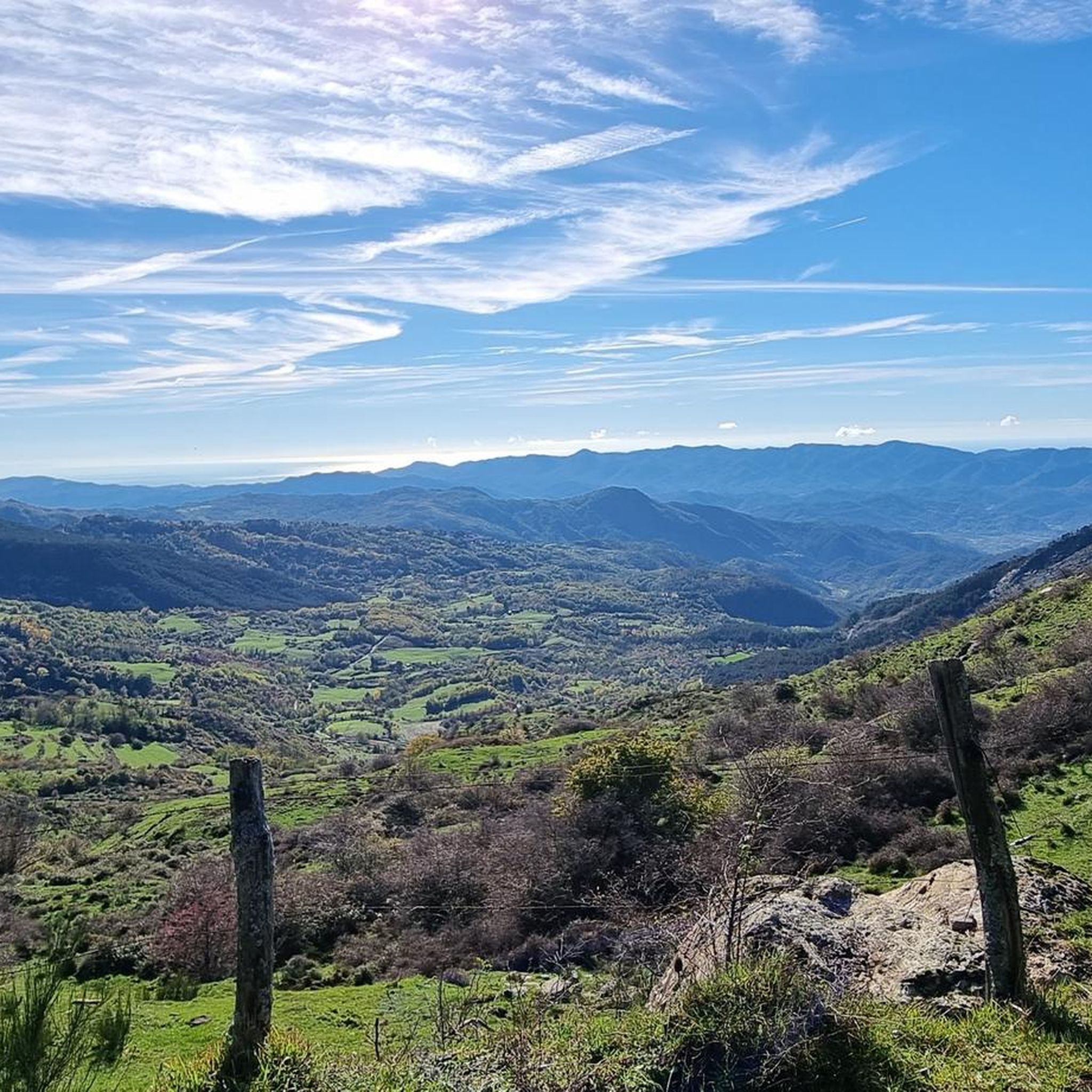
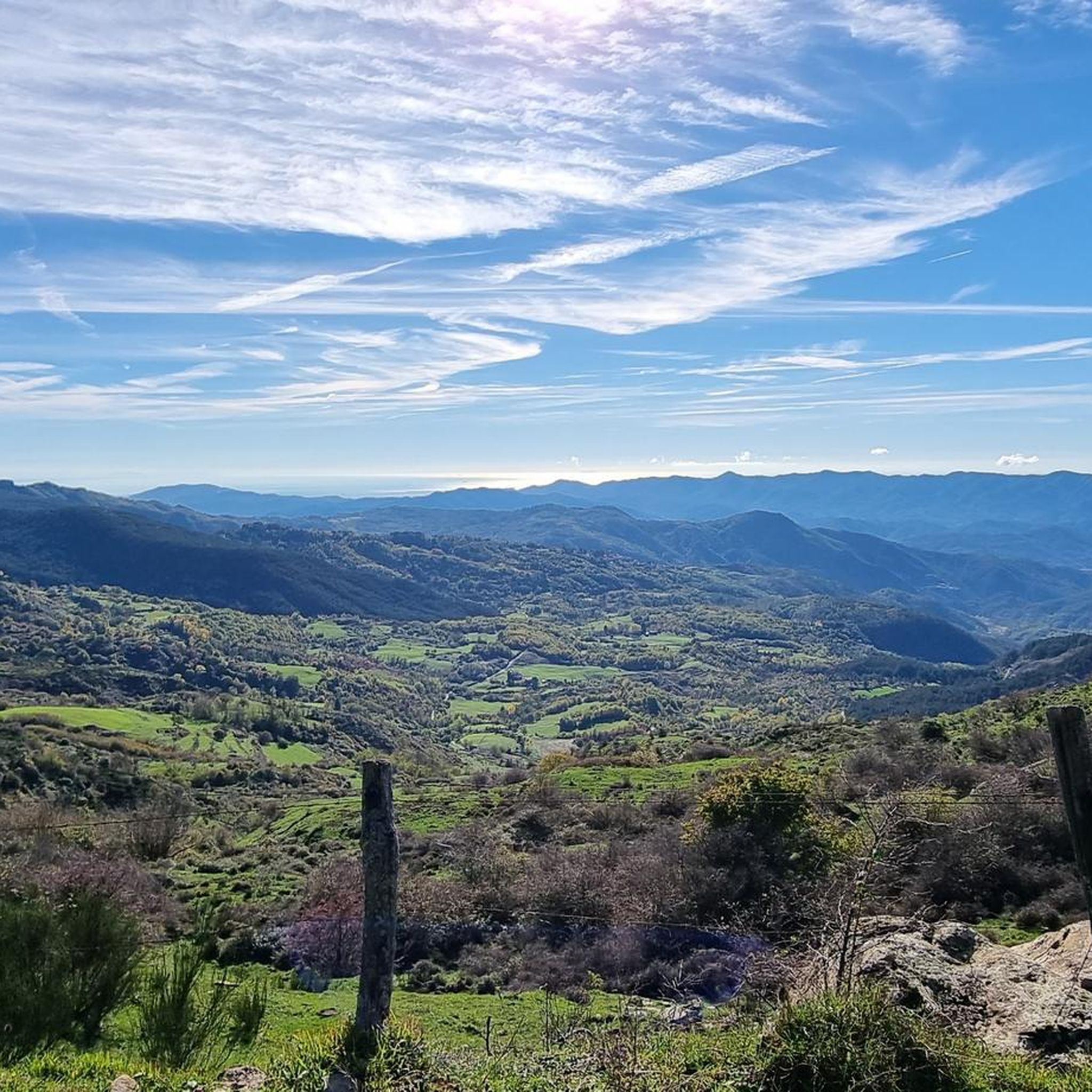
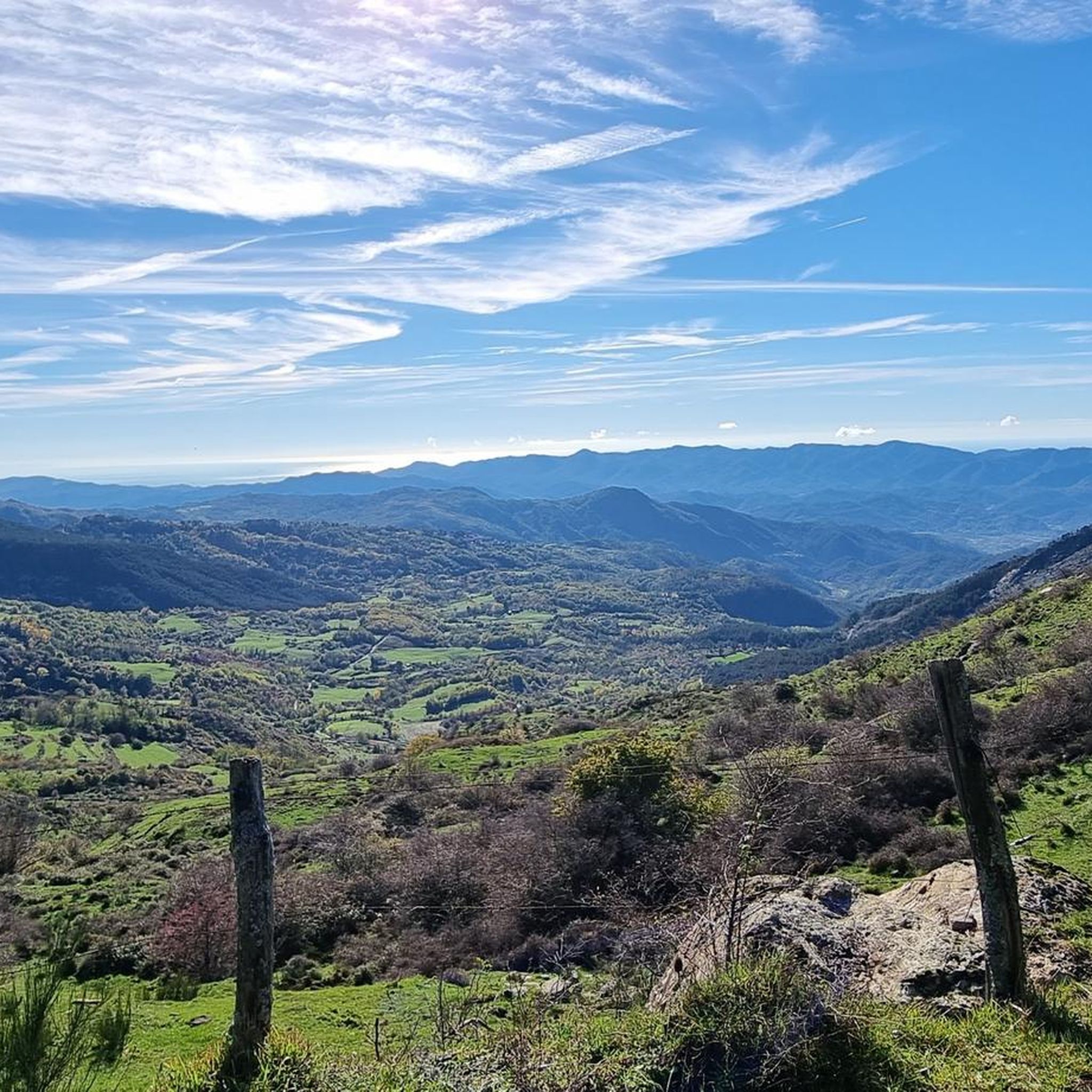
Passo Alpicella is located at 710m above sea level and is part of the 42nd stage of the Alta Via dei Monti Liguri. It is located on the watershed ridge between Val di Vara and Valle del Magra, offering open views that on clear days reach the Apuan Alps and the Gulf of Poets.
1
0

ALPICELLA PASS WHICH DIVIDES LIGURIA FROM TUSCANY PHOTO OF THE OLD RESTAURANT
2
0

High slopes in very friable soil. Technical route and not recommended during rainy days.
0
1

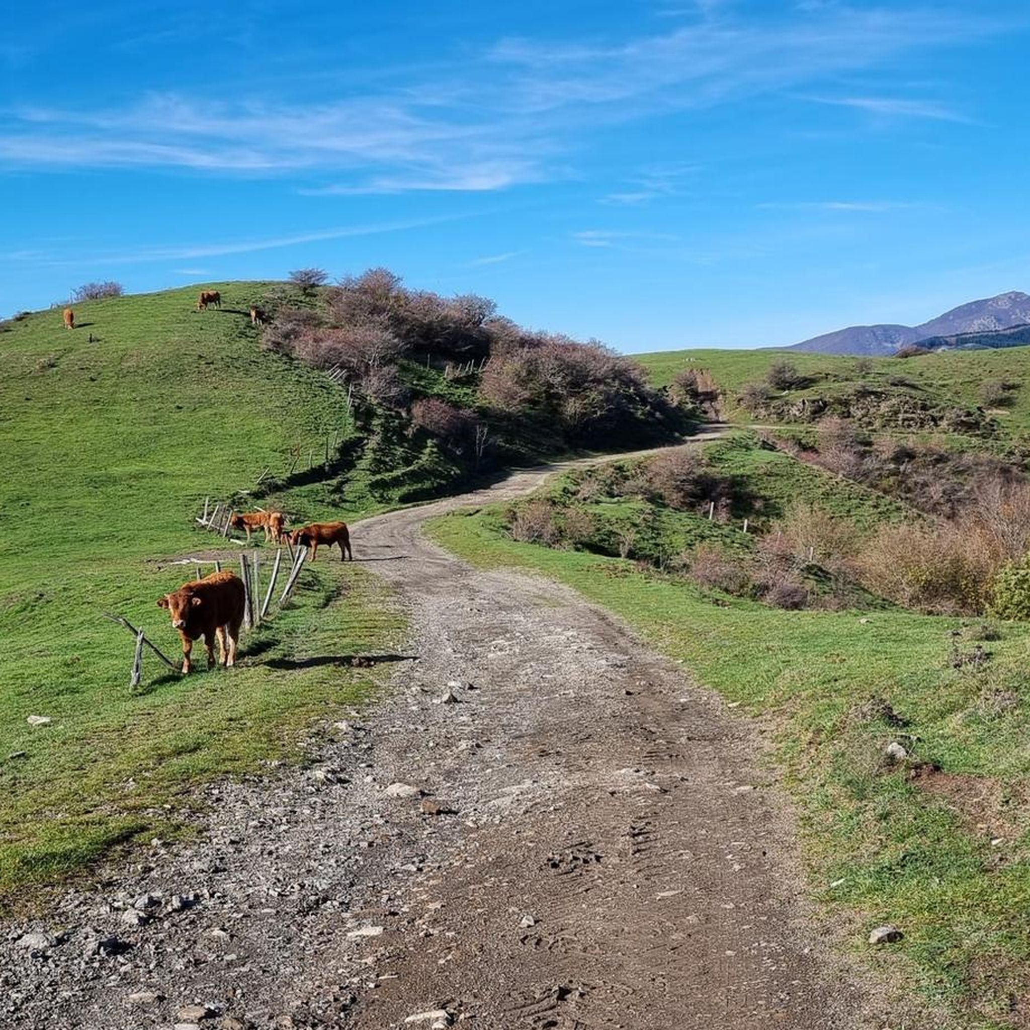
This dirt road connects Bracelli to Memola and offers numerous panoramic views.
0
0
Frequently Asked Questions
What kind of terrain can I expect on running routes in Zignago?
Zignago, nestled in the Ligurian Apennines, offers a diverse range of landscapes for runners. You'll find a mix of mountainous terrain, tranquil waters, and historical pathways. Routes can feature challenging ascents, such as those leading to Monte Gottero Summit, and picturesque panoramic roads like the Mount Cornoviglio Panoramic Road, providing varied and engaging experiences.
Are there running routes suitable for beginners or those looking for an easier jog?
While Zignago is known for its mountainous terrain, there are moderate options available. Out of the 5 routes listed, 3 are classified as moderate. For example, the Bracelli-Memola White Road loop from Pignone is a moderate 4.6-mile (7.4 km) trail, offering a scenic run without extreme difficulty.
What are some of the more challenging running trails in the Zignago area?
For those seeking a challenge, Zignago offers several difficult running routes. Two of the routes are classified as difficult, including the Running loop from Mulazzo, which is 6.9 miles (11.1 km) with significant elevation changes, and the Running loop from Beverino, an 8.3-mile (13.4 km) path through varied terrain.
Can I find circular running routes in Zignago?
Yes, many of the running paths in Zignago are designed as loops, allowing you to start and finish in the same location. Examples include the Running loop from Mulazzo and the Bracelli-Memola White Road loop from Pignone, providing convenient options for your run.
What scenic views or landmarks can I see while running in Zignago?
Zignago's routes offer breathtaking scenery. You can enjoy expansive 360-degree views from Monte Gottero Summit, encompassing the Tuscan-Emilian ridge, the Apuan Alps, and the Ligurian Riviera. The serene Lago Verde is particularly captivating in autumn, and the Mount Cornoviglio Panoramic Road provides stunning coastal vistas. You might also encounter historical sites like the ancient Via degli Abati.
Are there any historical sites or natural landmarks near the running paths?
Absolutely. Beyond the natural beauty, you can explore historical and natural landmarks. The region features several mountain peaks, including Monte Gottero Summit and Monte Cornoviglio Summit. There are also historic castles such as Castello di Calice al Cornoviglio and Dante's Castle in Mulazzo, which can be found in the surrounding areas.
What do other runners enjoy most about jogging in Zignago?
The running routes in Zignago are highly rated by the komoot community, with an average score of 3.0 stars. Runners often praise the diverse landscapes, from mountainous terrain to tranquil waters, and the historical pathways that make each run unique. The variety of routes, catering to different ability levels, is also a frequently mentioned positive aspect.
Is parking available near the running routes in Zignago?
While specific parking locations for each route are not detailed, Zignago and its surrounding villages typically offer public parking options. It's advisable to check local signage or inquire in the specific village you plan to start your run from, such as Mulazzo, Beverino, or Pignone, for the most convenient parking spots.
Can I reach the running trails in Zignago by public transport?
Access to Zignago's running trails by public transport can be limited, as many routes start from smaller villages in the Ligurian Apennines. While some villages may have bus connections, it's recommended to research specific routes and their proximity to public transport stops in advance. Driving to the starting points often offers more flexibility.
What is the best season for running in Zignago?
Zignago offers different experiences depending on the season. Autumn is particularly beautiful around Lago Verde, with vibrant foliage. Spring and early summer provide pleasant temperatures for running. Winters can bring heavy snowfall, especially at higher altitudes like Monte Gottero, which might offer a more challenging, snow-covered experience for experienced runners.
Are there any family-friendly running paths in Zignago?
While many routes in Zignago feature significant elevation changes, some of the moderate trails might be suitable for families looking for a less strenuous run. The Running loop from Carro, for example, is a moderate 3.9-mile (6.3 km) route that could be a good option for families seeking a pleasant outdoor activity.
Most popular attractions around Zignago

Get inspired with the komoot mobile app


Explore more
Browse the best Running Trails & Routes in other regions.
