The best road cycling routes around Zignago
4.4
(108)
1,204
riders
28
rides
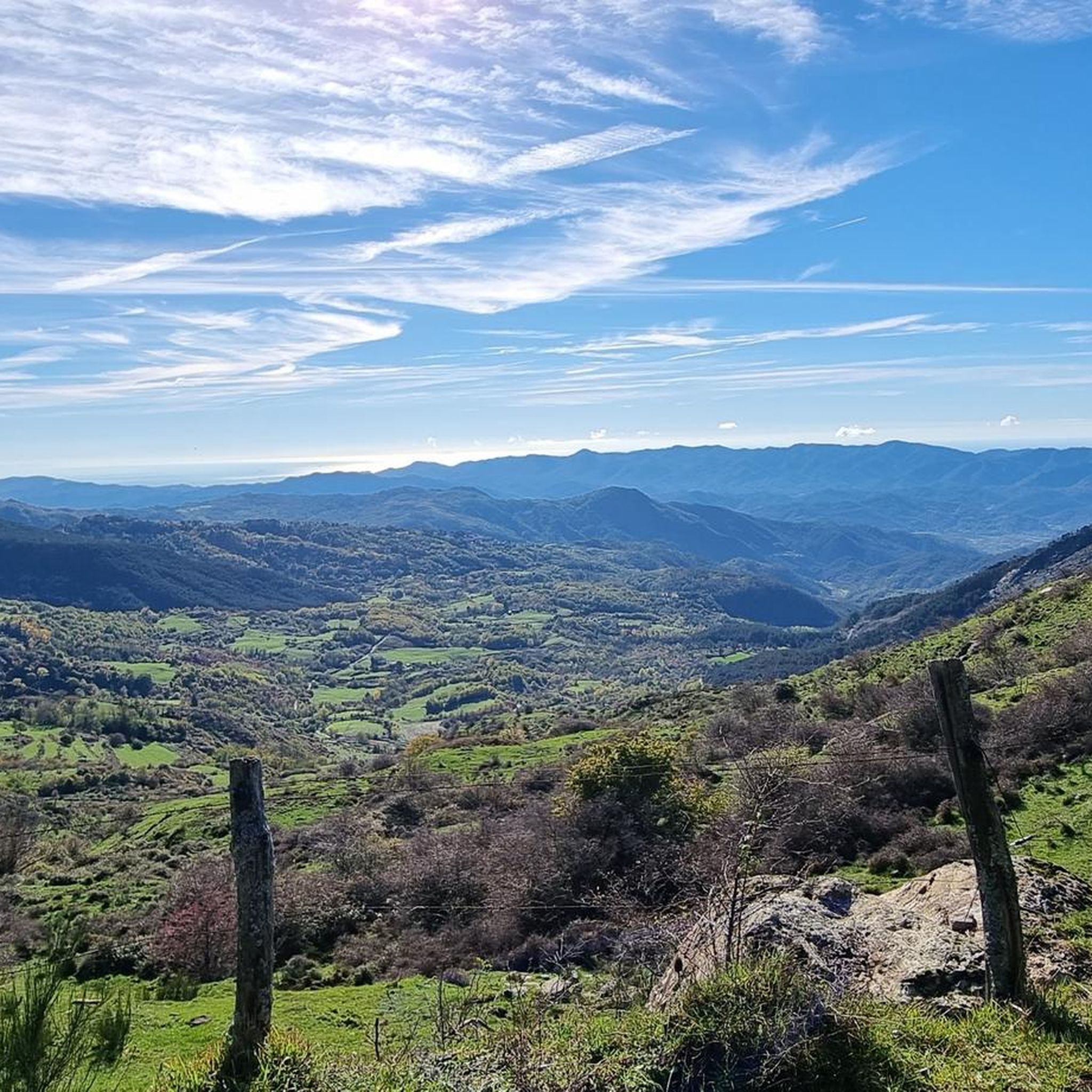
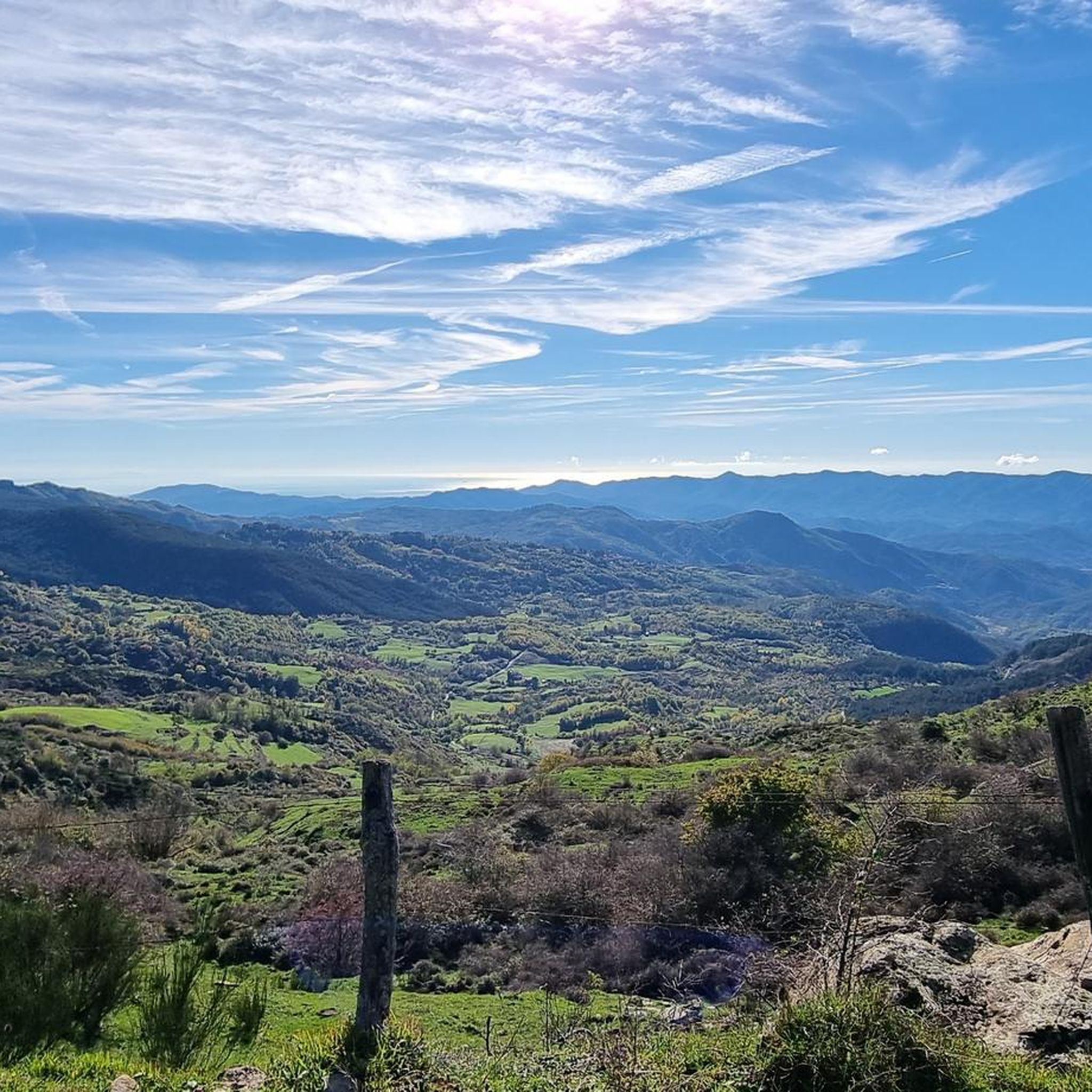
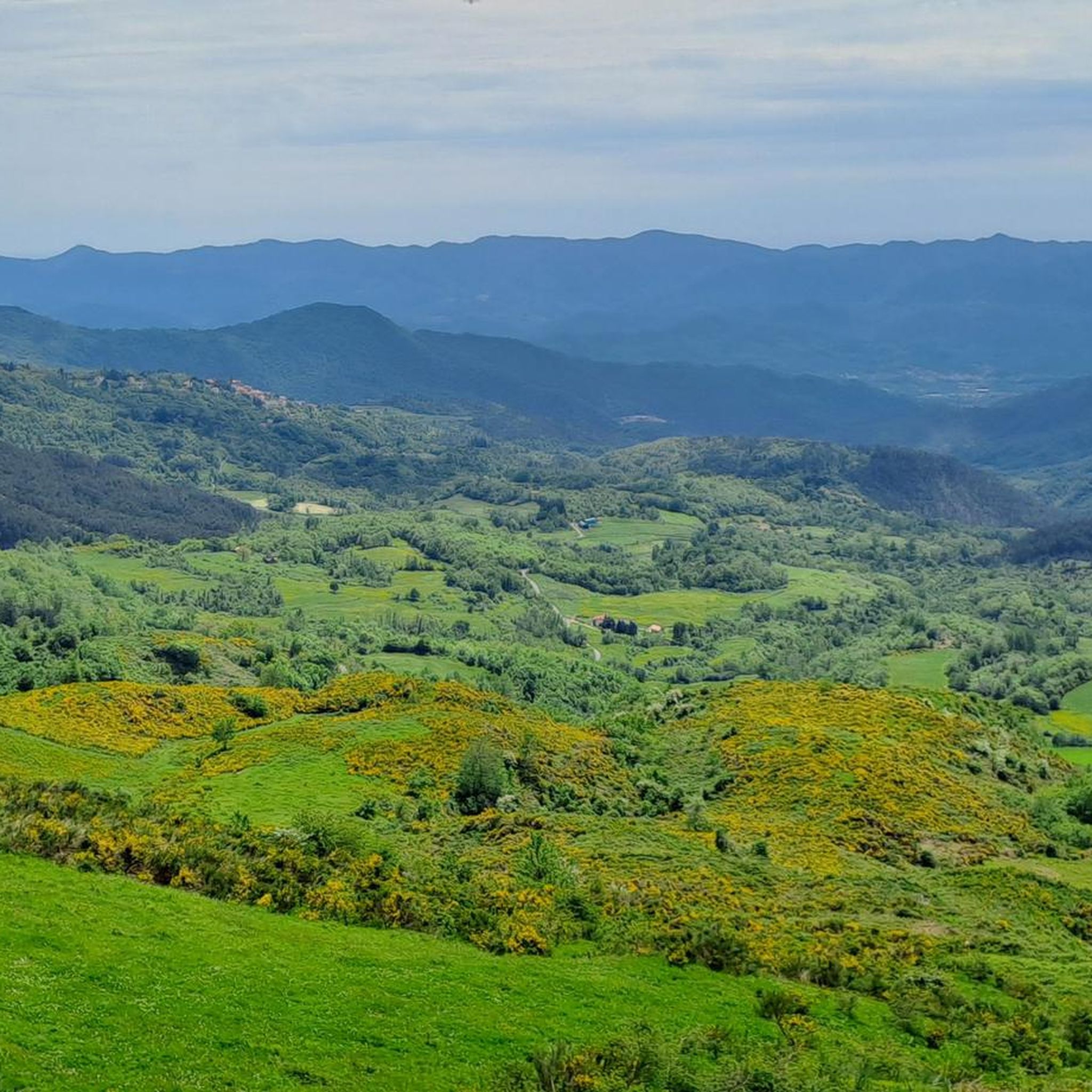
Road cycling routes around Zignago traverse a landscape characterized by its mountainous terrain, featuring numerous passes and valleys. The region offers significant elevation changes, with routes often climbing to over 1,000 meters. Road cyclists can expect a mix of challenging ascents and descents through forested areas and open vistas, providing views of the surrounding Ligurian countryside. The area's topography makes it suitable for advanced road cycling.
Best road cycling routes around Zignago
- The most popular road cycling route is Panorama…
Last updated: October 4, 2026
4.6
(13)
191
riders
58.2km
03:16
1,280m
1,280m
Hard road ride. Very good fitness required. Mostly well-paved surfaces and easy to ride.
4.4
(21)
385
riders
79.4km
04:14
1,460m
1,460m
Hard road ride. Very good fitness required. Mostly well-paved surfaces and easy to ride.

4.5
(4)
53
riders
49.9km
02:17
590m
590m
Moderate road ride. Good fitness required. Mostly well-paved surfaces and easy to ride.
4.4
(9)
22
riders
52.9km
02:30
640m
640m
Moderate road ride. Good fitness required. Mostly well-paved surfaces and easy to ride.
5.0
(1)
19
riders
56.8km
03:00
1,090m
1,090m
Hard road ride. Very good fitness required. Mostly well-paved surfaces and easy to ride.
Get access to more routes and recommendations from other explorers.
Already have an account?
Our route recommendations are based on thousands of hikes, rides, and runs completed by other people on komoot.
Start today with a free account
Your next adventure awaits.
Tips from the Community

The Marco Pantani Fountain on the Passo di Guaitarola is a characteristic fountain for cyclists located on the pass of the same name, on the slopes of the mountain of the same name between the coast and the Passo del Bracco.
0
0
Passo della Mola (or Valico della Mola) is a mountain pass at an altitude of approximately 650-655 meters, located in Liguria, between the province of La Spezia and the metropolitan city of Genoa. It connects the coastal area to the Val di Vara (municipality of Carro). Main characteristics Altitude: 650 - 655 m a.s.l. Location: Connects the area of Carro and Velva, serving as an alternative to the better-known Passo del Bracco. Road: It is traversed via the Provincial Road 50 (SP50). The road has a narrow carriageway, generally moderate gradients, but with several curves and tight hairpin bends. Panorama: On clear days, it offers a view stretching from the Maritime Alps to the Apuan Alps.
0
0

After the fork from Bracco towards Levanto..very fresh water..🤩
1
0


Refreshingly cold fountain water and a small shrine in homage to Marco Pantani; definitely worth a detour
1
0

Update September 2025: Fieschi Castle is temporarily closed for renovations
0
0
A small, quiet town in the Vara Valley. A good starting point for a circular tour of Lunigiana (Rastrello Pass or Calzavitello Pass).
0
0

This must be the cliché image of the Italian Riviera. It has everything!
0
0
Frequently Asked Questions
How many road cycling routes are available around Zignago?
There are 28 road cycling routes around Zignago, offering a variety of experiences for cyclists. The region is known for its challenging mountainous terrain.
What kind of terrain can I expect on road cycling routes in Zignago?
Road cycling routes around Zignago traverse a mountainous landscape with numerous passes and valleys. You can expect significant elevation changes, often climbing to over 1,000 meters, with a mix of challenging ascents and descents through forested areas and open vistas of the Ligurian countryside.
Are there any easy road cycling routes for beginners in Zignago?
The road cycling network around Zignago is primarily suited for moderate and advanced cyclists due to its challenging mountain passes and significant elevation gains. There are no routes classified as easy in this area.
Can I find moderate road cycling routes in Zignago?
Yes, there are 12 moderate road cycling routes in Zignago. These routes offer a good balance of challenge and scenic beauty, suitable for cyclists with some experience.
Are there challenging routes for advanced road cyclists in Zignago?
Absolutely. Zignago is well-known for its challenging routes, with 16 classified as difficult. These routes often include significant mountain passes like Passo di Cento Croci and Bocco Pass, providing substantial elevation gains and demanding rides.
Are there long-distance road cycling routes in Zignago?
Yes, Zignago offers several long-distance routes. For example, the Passo di Cento Croci (1,055 m) – Historic Center of Pontremoli loop from Sesta Godano is a difficult 73.3-mile (118.1 km) path, and the Mola Pass (650 m) – Panorama on Levanto loop from Brugnato covers 88.3 km.
Are there circular road cycling routes available in Zignago?
Many of the popular road cycling routes in Zignago are loops, allowing you to start and end in the same location. Examples include the Panorama on Levanto – View over Levanto loop from Sesta Godano and the Bocco Pass – Passo di Cento Croci (1,055 m) loop from Sesta Godano.
What scenic viewpoints can I discover on road cycling routes in Zignago?
The routes often provide panoramic views of the Ligurian countryside. Specific highlights include the Monte Gottero Summit and the scenic road of Monte Cornoviglio, both offering breathtaking vistas.
Are there any historical landmarks or castles to see along the routes?
Yes, the region around Zignago is rich in history. You might encounter historical sites such as Castello di Calice al Cornoviglio, Suvero Castle, or Dante's Castle in Mulazzo. These can be interesting stops during your ride.
What do other road cyclists say about the routes in Zignago?
The road cycling routes in Zignago are highly rated by the komoot community, with an average score of 4.5 stars from over 30 reviews. Cyclists often praise the challenging mountain passes, the significant elevation gains, and the rewarding scenic viewpoints.
What is the best time of year for road cycling in Zignago?
Given the mountainous terrain and potential for high temperatures in summer, spring and autumn are generally ideal for road cycling in Zignago. These seasons offer milder weather, making the challenging ascents more enjoyable and providing comfortable conditions for longer rides.
Are there road cycling routes that pass by cafes or places to eat?
While specific routes aren't detailed with cafe stops, the region has local establishments. You might find places like Trattoria Dei Cacciatori Casoni, which could serve as a refreshment stop during your ride.
Most popular attractions around Zignago

Get inspired with the komoot mobile app


Explore more
Browse the best Road cycling routes in other regions.
