The best mountain hikes around Castiglione Di Garfagnana
4.6
(12)
114
hikers
7
hikes
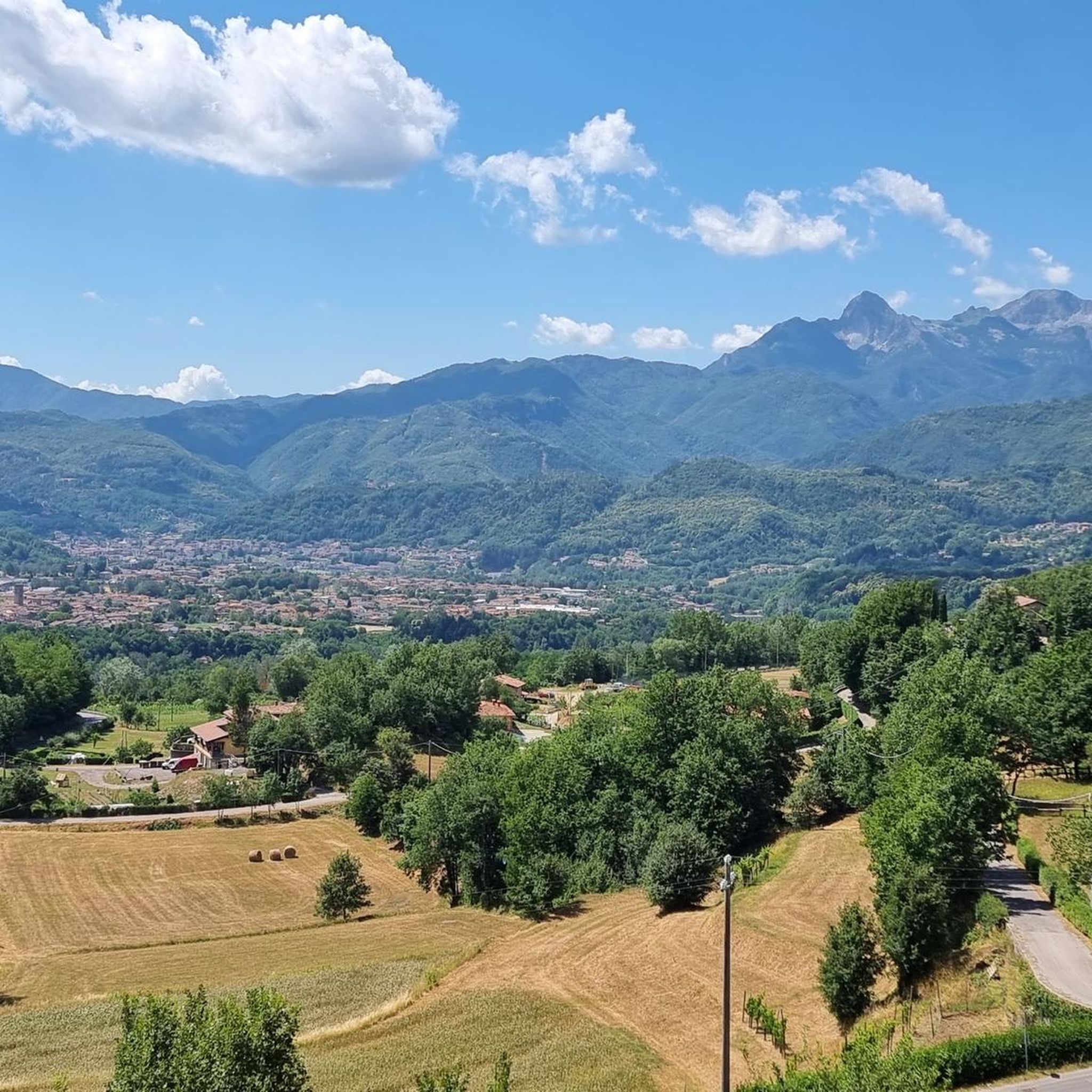
Mountaineering around Castiglione Di Garfagnana offers access to the rugged landscapes of the Apuan Alps and the Apennine Mountains. This area is characterized by rocky peaks, dense woody slopes, and deep valleys, providing a challenging environment for mountaineers. The region features prominent summits like Pania Della Croce and Monte Pisanino, alongside the Serchio River valley. These natural features create diverse terrain for various mountaineering experiences.
Best mountaineering routes around Castiglione Di Garfagnana
- The most popular mountaineering route is Monte Penna Via Ferrata loop from Civago, a 2.8 miles (4.4 km) trail that takes 2 hours 27 minutes to complete. This difficult route includes a via ferrata section.
- Another top favourite among local mountaineers is San Leonardo al Dolo Refuge loop from Civago, a difficult 8.4 miles (13.4 km) path. This route ascends through varied mountain terrain to a refuge, offering expansive views.
- Local mountaineers also love the Monte Sumbra – Maestà del Tribbio loop from Vianova, a 7.3 miles (11.8 km) trail leading through the Apuan Alps, often completed in about 4 hours 31 minutes.
- Mountaineering around Castiglione Di Garfagnana is defined by the rocky peaks of the Apuan Alps, the forested slopes of the Apennines, and the scenic Serchio Valley. The network offers options for experienced mountaineers, with 8 difficult and 2 moderate routes available.
- The routes in Castiglione Di Garfagnana are highly rated by the komoot community with an average score of 4.8 stars from more than 10 reviews. More than 100 mountaineers have used komoot to explore Castiglione Di Garfagnana's varied terrain.
Last updated: July 13, 2026
5.0
(4)
31
hikers
6.49km
03:30
540m
540m
Hard mountaineering route. Good fitness required. Sure-footedness, sturdy shoes and alpine experience required.
4.3
(3)
15
hikers
Hard mountaineering route. Good fitness required. Sure-footedness, sturdy shoes and alpine experience required.

Sign up for free
5
hikers
12.8km
04:54
740m
750m
Moderate mountaineering route. Good fitness required. Mostly accessible paths. Sure-footedness required.
8
hikers
11.7km
04:30
650m
650m
Moderate mountaineering route. Good fitness required. Mostly accessible paths. Sure-footedness required.
6
hikers
13.9km
06:05
920m
920m
Hard mountaineering route. Very good fitness required. Sure-footedness, sturdy shoes and alpine experience required.
Get access to more routes and recommendations from other explorers.
Sign up for free
Already have an account?
Our route recommendations are based on thousands of hikes, rides, and runs completed by other people on komoot.
Start today with a free account
Your next adventure awaits.
Login or Signup
Popular around Castiglione Di Garfagnana

Berceto to Abetone – Alta Via dei Parchi (part 1)
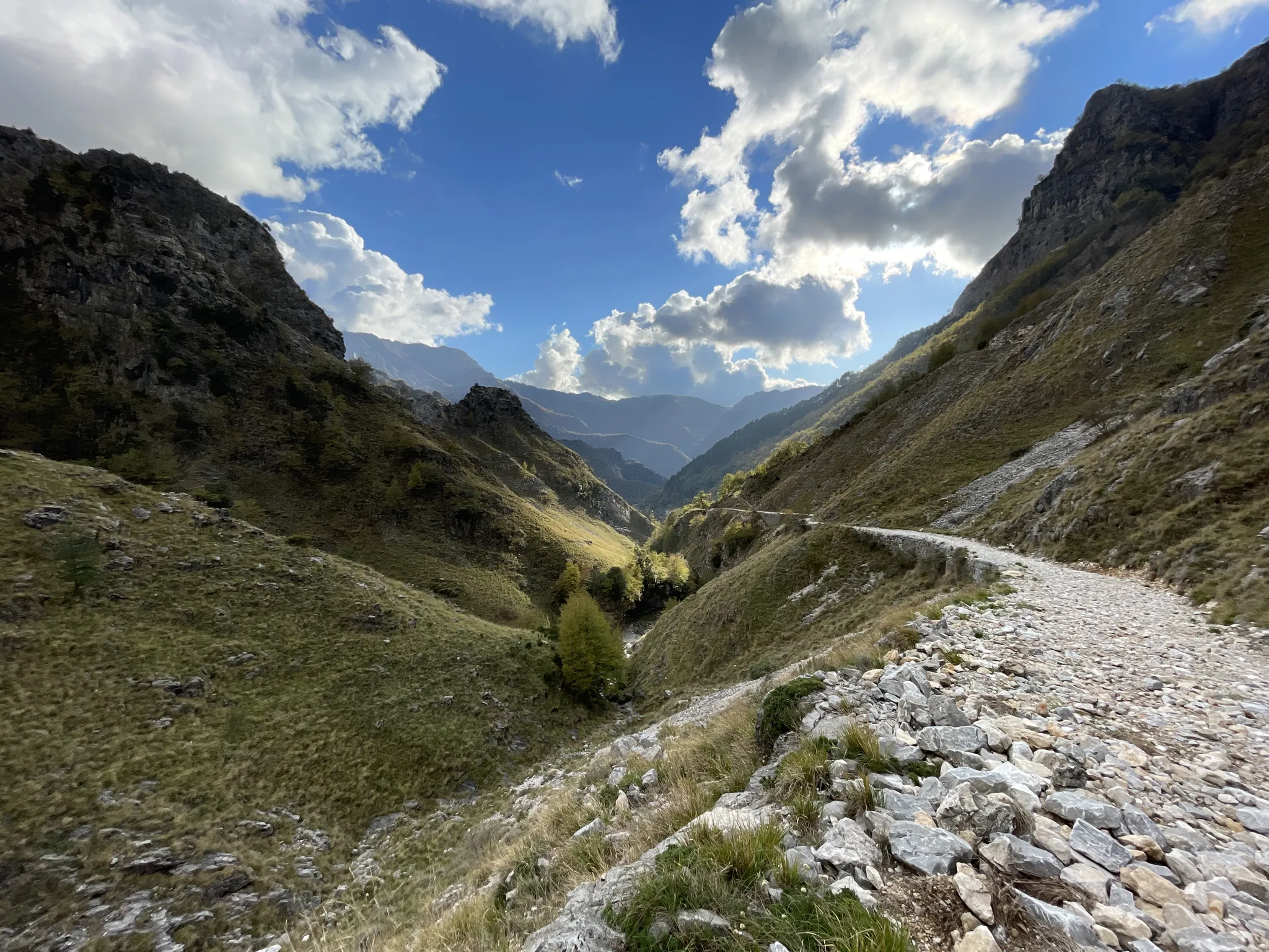
18th-century route from Modena to Massa – Via Vandelli
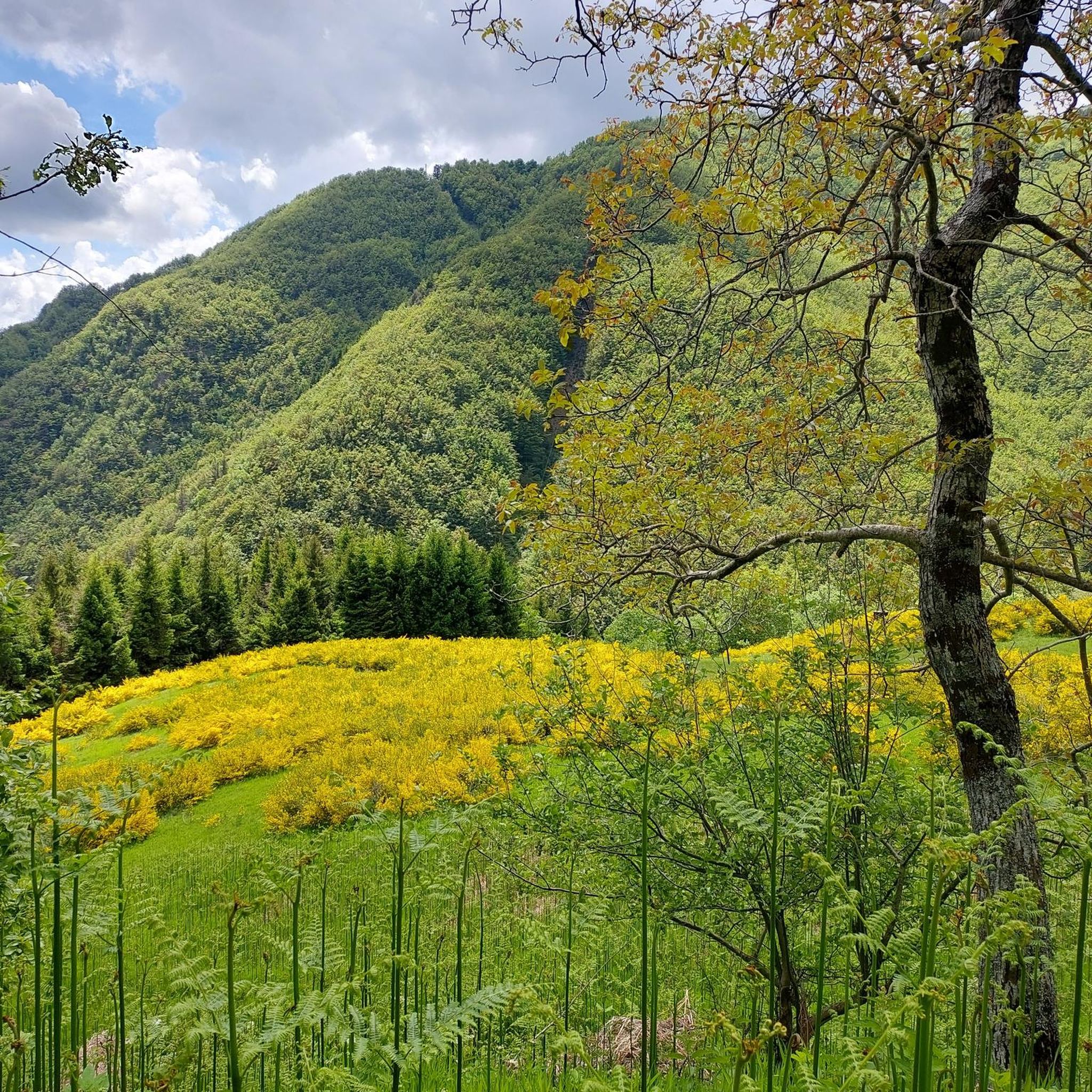
Hiking around Castiglione Di Garfagnana
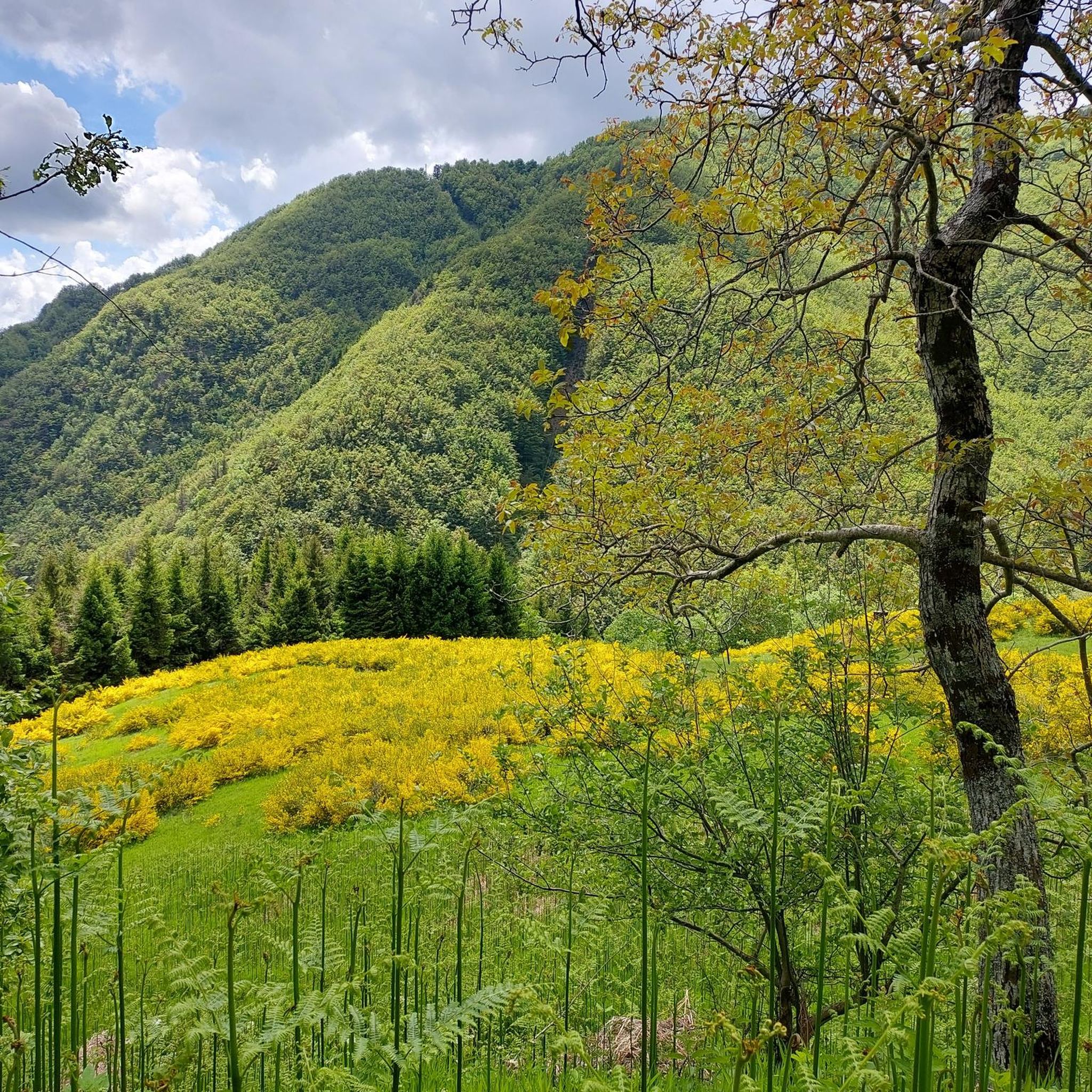
Road Cycling Routes around Castiglione Di Garfagnana
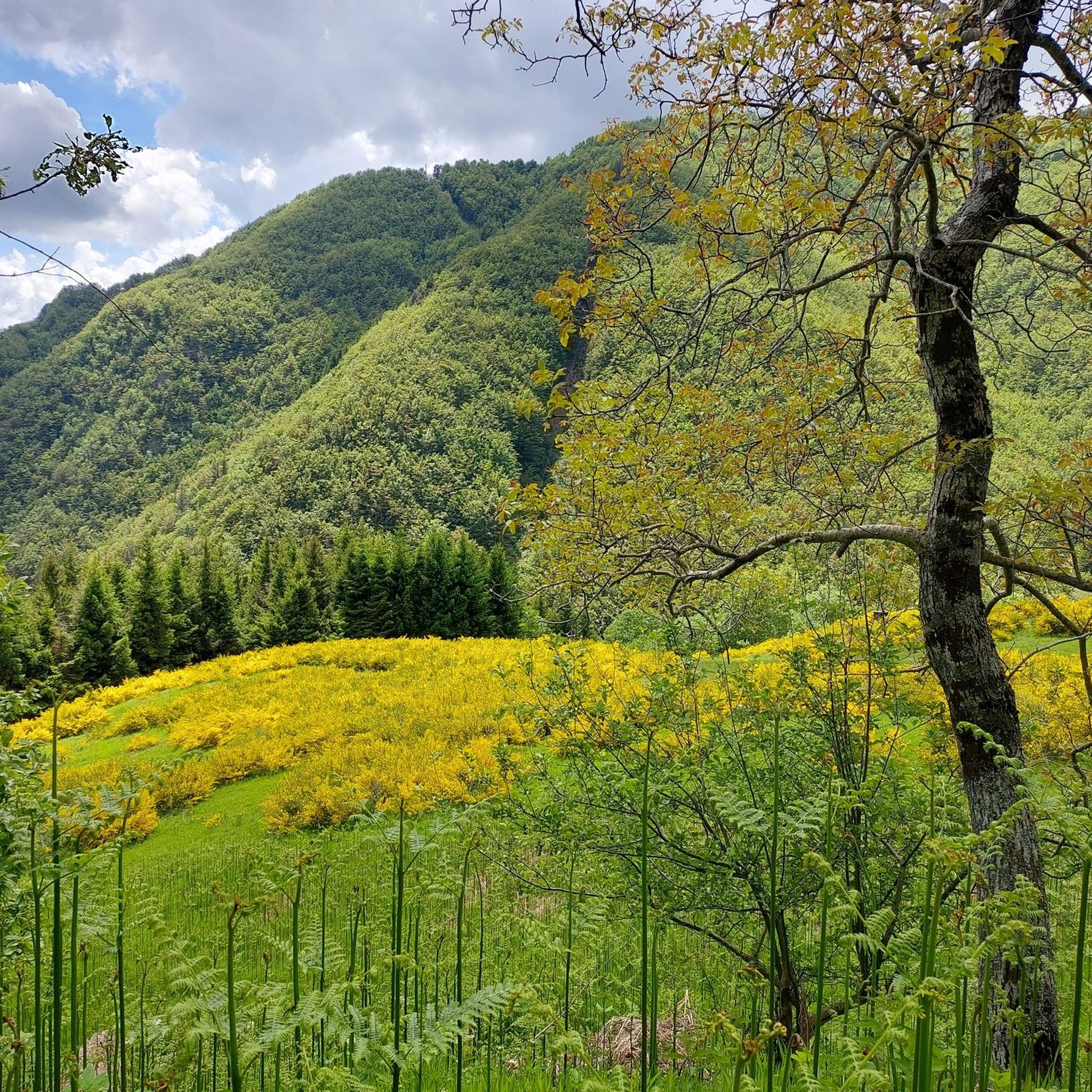
MTB Trails around Castiglione Di Garfagnana

Cycling around Castiglione Di Garfagnana
Running Trails around Castiglione Di Garfagnana

Gravel biking around Castiglione Di Garfagnana
Other adventures around Castiglione Di Garfagnana


Tips from the Community

Monte Cusna (also called Alpe di Cusna) is the highest peak of the Reggiano Apennines with its 2,121 meters of altitude. It is the second highest summit in the entire Northern Apennines, surpassed only by the nearby Monte Cimone.
0
0
The Passo di Lama Lite is a very important mountain pass located at an altitude of 1,749 meters in the Alto Appennino Reggiano, on the border between Emilia-Romagna and Tuscany. It is located in the heart of the Tuscan-Emilian Apennine National Park. This pass serves as a fundamental watershed between the valley of the Dolo stream and the valley of the Ozola stream, positioned at the foot of the Monte Prado massif and offering a splendid view of Monte Cusna.
0
0

Make sure there is no strong wind
0
0

Easy to reach and convenient for starting your walk.
0
0
From the outside, it's a beautiful refuge. We couldn't see the inside because it was closed. It's easily accessible by parking in Case di Civago.
0
0
Large stone fountain with significant water flow (at least in January)
0
0

The weather conditions made the tour extremely challenging: strong winds, thick fog with barely ten meters of visibility, and temperatures sometimes below freezing, making the ground slippery and difficult to navigate. Despite the adverse conditions, the summit of Monte Cusna offered an impressive atmosphere – mysterious, rugged, and wild.
38
0
Monte Cusna (2120 m) – Ascent from Sasso del Morto Monte Cusna, also called "Il Gigante," is the second-highest peak in the Reggio Emilia Apennines at 2120 m. The starting point was the striking Sasso del Morto rock (2078 m), from which two ascent options lead to the summit: Easy route: A gentler ascent along the ridge, not technically demanding but very exposed in windy conditions. Difficult route: A steep, rocky ascent directly along the ridge, significantly more challenging, requiring surefootedness and concentration.
41
0
Frequently Asked Questions
How many mountaineering routes are available around Castiglione Di Garfagnana?
There are 10 mountaineering routes around Castiglione Di Garfagnana listed on komoot. These include 8 difficult and 2 moderate options, offering a range of challenges for different skill levels.
Are there any circular mountaineering routes in the area?
Yes, many routes are circular. For example, you can explore the challenging Monte Penna Via Ferrata loop from Civago, which includes a via ferrata section, or the scenic Monte Sumbra – Maestà del Tribbio loop from Vianova in the Apuan Alps.
What kind of terrain can I expect on mountaineering routes near Castiglione Di Garfagnana?
The region offers diverse terrain, from the rugged, rocky peaks of the Apuan Alps to the dense, woody slopes of the Apennine Mountains. You'll encounter challenging ascents, deep valleys, and expansive views, characteristic of a wilder, more mountainous Tuscany.
Are there any moderate mountaineering routes for those with less experience?
Yes, there are a couple of moderate routes. A good option is the Il Passetto loop from Lago Santo modenese, which is about 7 km long and takes around 3 hours to complete, offering a less strenuous but still rewarding experience.
What are some notable natural landmarks or viewpoints I might encounter?
The region is rich in natural beauty. You might encounter the distinctive natural rock arch of Monte Forato, or enjoy panoramic views from peaks like Pania Della Croce. The Lama Lite Pass offers stunning vistas, and the area is home to beautiful lakes like Lago Santo Modenese and Lake Bargetana.
Are there any refuges or huts along the mountaineering trails?
Yes, some routes lead to or pass by mountain refuges. For instance, the San Leonardo al Dolo Refuge loop from Civago ascends through varied mountain terrain to a refuge, providing a place for rest and expansive views. You can also find huts like the Cesare Battisti Hut in the wider area.
What do other mountaineers say about the routes in Castiglione Di Garfagnana?
The routes in Castiglione Di Garfagnana are highly rated by the komoot community, with an average score of 4.8 stars from more than 10 reviews. Mountaineers often praise the challenging terrain and the stunning, wild landscapes of the Apuan Alps and Apennine Mountains.
Can I find routes that offer views of the highest peaks in Tuscany?
Yes, the region is close to Monte Prado, the highest peak in Tuscany at 2,054 meters. While not all routes directly ascend it, many offer views of this impressive summit and other prominent mountains like Monte Pisanino, known as the 'king of the Apuan Alps'.
Are there any historical or cultural points of interest near the mountaineering routes?
Beyond the natural landscapes, the area is rich in history. The medieval walled town of Castiglione di Garfagnana itself is a significant attraction. You can also find historical sites like San Pellegrino in Alpe, one of the highest inhabited villages in the Apennines, offering cultural insights alongside your mountain adventures.
What is the best time of year for mountaineering in this region?
The Garfagnana region is generally best for mountaineering from late spring through early autumn. During these months, the weather is typically more stable, and trails are clearer of snow, making for safer and more enjoyable ascents. Always check local weather conditions before heading out.
Are there any routes that pass by lakes?
Yes, some routes are near or pass by beautiful mountain lakes. For example, the Altaretto – Monte Giovo loop from Lago Santo modenese starts from the picturesque Lago Santo Modenese, offering scenic views of the water.
Most popular routes around Castiglione Di Garfagnana
Most popular attractions around Castiglione Di Garfagnana

Get inspired with the komoot mobile app


Explore more
Browse the best Mountain Hikes & Routes in other regions.
