The best MTB trails in La Caldera De Taburiente
4.5
(381)
2,135
riders
131
rides
Mountain biking in La Caldera de Taburiente offers routes around one of the world's largest erosion craters, characterized by dramatic volcanic landscapes and significant elevation changes. The region features extensive Canary Island pine forests and deep ravines, many with permanent watercourses. While cycling is restricted within the core national park trails, the surrounding areas provide challenging mountain bike trails with panoramic views of the Caldera. These routes often include both paved and unpaved surfaces, requiring good fitness levels.
Best mountain…
Last updated: October 5, 2026
5
riders
Hard mountain bike ride. Great for any fitness level. Advanced riding skills necessary. Some portions of the route may require you to push your bike.
5
riders
14.8km
01:33
520m
520m
Hard mountain bike ride. Good fitness required. Advanced riding skills necessary. Some portions of the route may require you to push your bike.

1
riders
15.3km
01:59
710m
700m
Hard mountain bike ride. Good fitness required. Advanced riding skills necessary. Some portions of the route may require you to push your bike.
5.0
(1)
5
riders
Hard mountain bike ride. Very good fitness required. Advanced riding skills necessary. Some portions of the route may require you to push your bike.
5.0
(1)
17
riders
45.5km
05:12
1,880m
1,880m
Hard mountain bike ride. Very good fitness required. Advanced riding skills necessary.
Get access to more routes and recommendations from other explorers.
Already have an account?
Our route recommendations are based on thousands of hikes, rides, and runs completed by other people on komoot.
Start today with a free account
Your next adventure awaits.
Popular around La Caldera De Taburiente
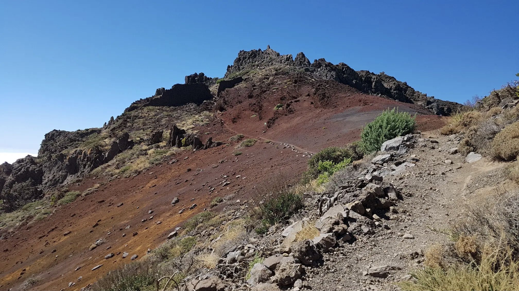
GR 131 El Bastón – La Palma in all its splendour
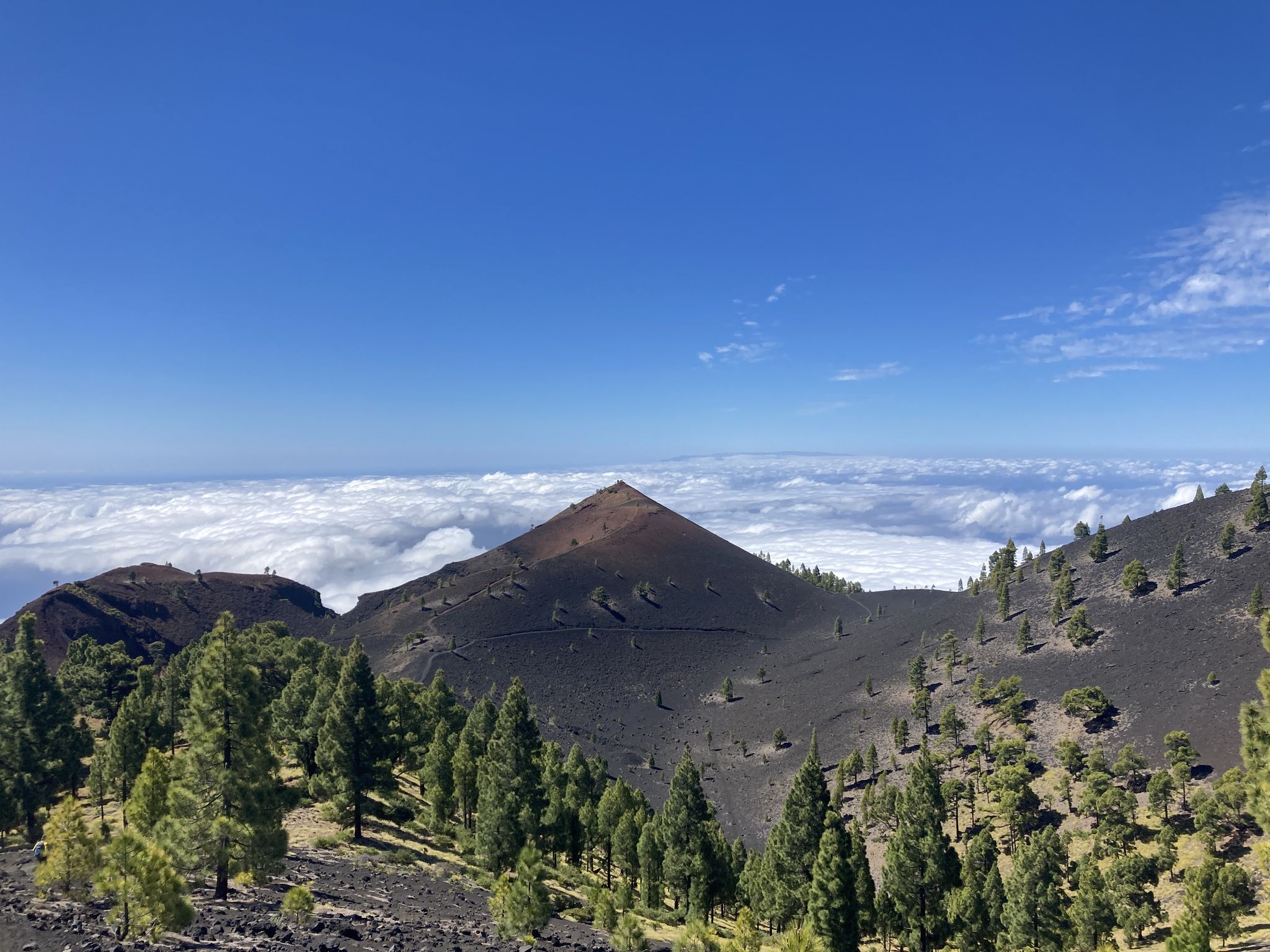
Transvulcania - traverse la Palma in the Canary Islands on the GR 131
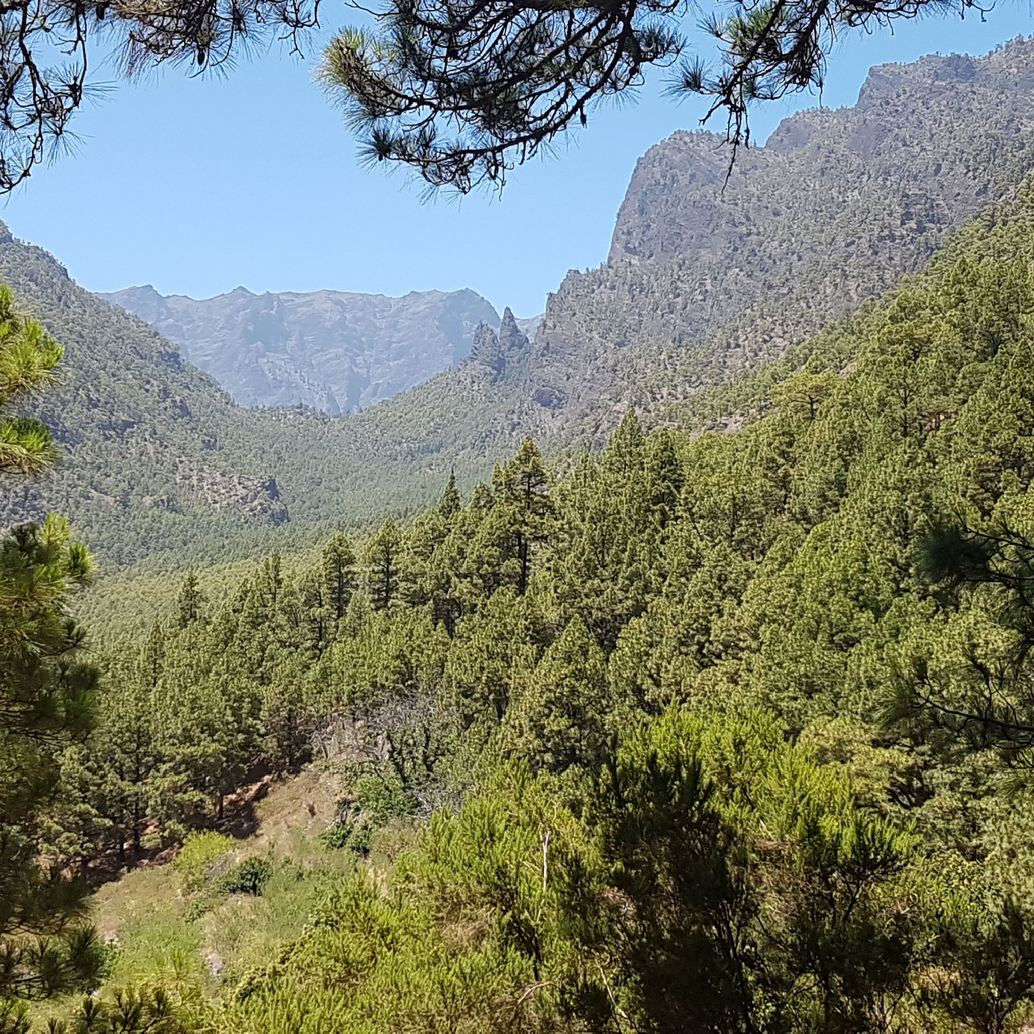
Hiking in La Caldera De Taburiente
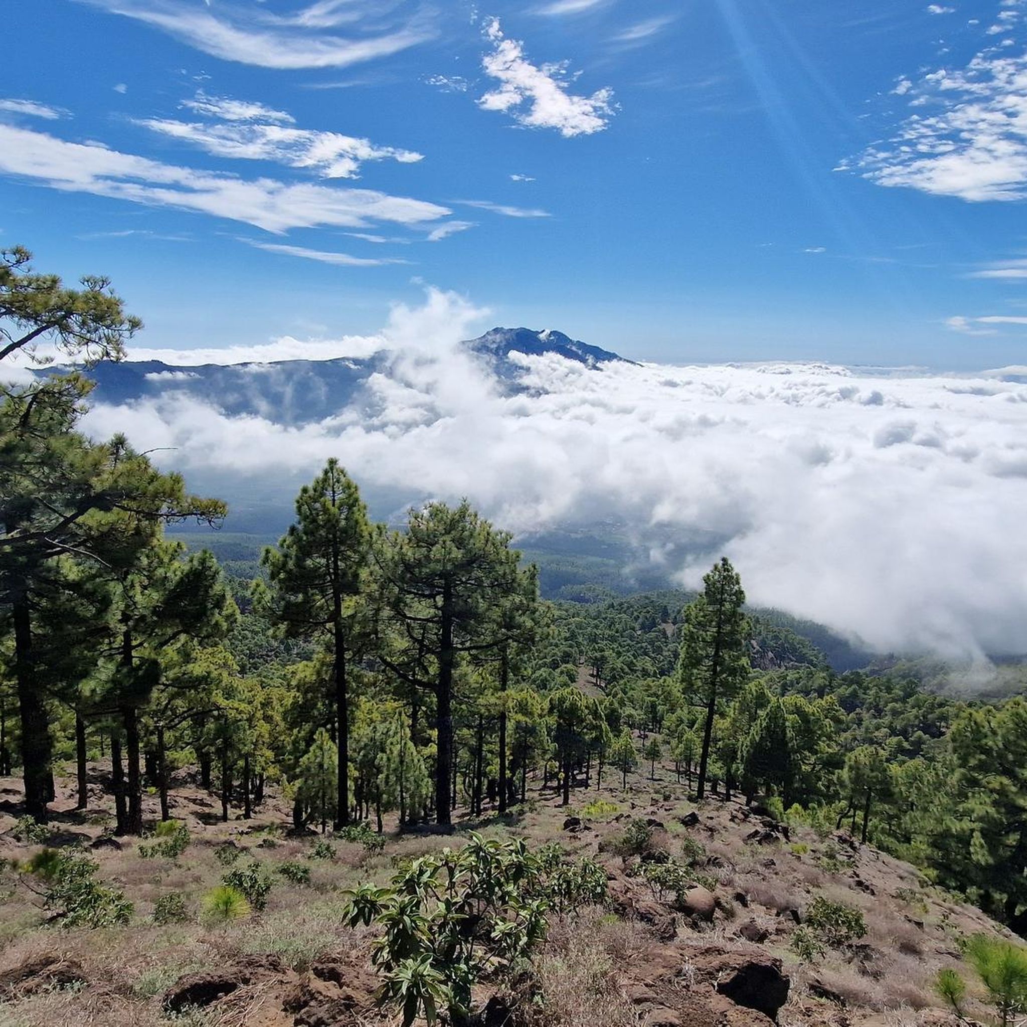
Running Trails in La Caldera De Taburiente
Cycling in La Caldera De Taburiente
Road Cycling Routes in La Caldera De Taburiente

Mountain Hikes in La Caldera De Taburiente

Gravel biking in La Caldera De Taburiente


Tips from the Community

The Roque de los Muchachos Observatory (ORM) boasts an impressive and photogenic telescope array. Over 20 telescopes are set up here, exploring the universe. The ORM is one of the largest observatories in the world. Nowhere else will you feel so close to the stars.
0
0

If you're lucky, there's a great view here; if you're unlucky, fog 😄.
0
0

From the summit of Pico de la Cruz, there's a beautiful view that's well worth every effort! You won't be at the summit long before the summit lords come looking to see if they can find anything. In any case, I consider a visit to the summit a must.
0
0

Despite fog and clouds, it's amazing 🌲🌋😍😍
0
0

Geologically speaking, this is an extremely fascinating erosion crater, whose 2 million-year-old volcanic history is evident in its spectacular steep slopes. Inside the 9-kilometer-diameter crater lies the famous national park of the same name, which offers beautiful hiking trails.
0
0

Make sure you bring everything you need. There are two camp sites for 20 people. There's electricity (if there's been enough sun), but no electrical outlets. There's no running water, but there's a cistern with filtered rainwater, which I drank.
4
0

Really impressive in clear weather
3
1

Wonderful view even with rainbow
1
0
Frequently Asked Questions
How many mountain bike trails are available around La Caldera de Taburiente?
There are over 115 mountain bike routes available in the wider area surrounding La Caldera de Taburiente. These routes cater to various skill levels, with 74 classified as difficult and 40 as moderate, ensuring a challenging experience for most riders.
Is mountain biking permitted inside La Caldera de Taburiente National Park?
No, mountain biking is generally not permitted within the strictly protected inner trails of La Caldera de Taburiente National Park. The park's core trails are reserved for movement on foot. However, the wider geographical area of La Palma and routes leading to the Caldera's edge offer challenging and rewarding experiences for cyclists, providing stunning views of the Caldera.
What kind of terrain can I expect on mountain bike trails near La Caldera de Taburiente?
The mountain bike trails around La Caldera de Taburiente are characterized by dramatic volcanic landscapes, extensive Canary Island pine forests, and significant elevation changes. You can expect a mix of paved and unpaved surfaces, with many routes traversing varied terrain, including sections through dense pine forests, as seen on routes like The Cane Trail (GR 131).
Are there any family-friendly mountain bike trails near La Caldera de Taburiente?
While many routes in the area are classified as difficult or moderate due to significant elevation changes and technical sections, there is at least one route classified as easy. For families, it's recommended to carefully check the difficulty and elevation profiles of specific routes. The region is generally known for its challenging terrain, requiring good fitness levels.
What natural features or landmarks can I see while mountain biking around La Caldera de Taburiente?
Mountain biking routes around La Caldera de Taburiente offer breathtaking views of the immense erosion crater and its unique geological features. You can encounter extensive Canary Island pine forests and deep ravines. Notable viewpoints like Mirador de la Cumbrecita offer panoramic vistas into the Caldera, as experienced on routes such as Mirador de la Cumbrecita and Mirador de los Roques. The highest point of the island, Roque de los Muchachos, also offers unparalleled views and is accessible via some routes like Mirador de los Andenes – Roque de los Muchachos loop.
Are there any circular mountain bike routes in the area?
Yes, there are circular mountain bike routes available. An example is the Mirador de los Andenes – Roque de los Muchachos loop from Pico de la Nieve, which offers a challenging 30 km ride with significant elevation changes. Another option is the Pared Vieja Recreation Area – Refugio del Pilar loop, a longer 45 km route.
What do other mountain bikers say about the trails in La Caldera de Taburiente?
The routes in La Caldera de Taburiente are highly rated by the komoot community, with an average score of 4.5 stars from over 300 reviews. Mountain bikers often praise the dramatic volcanic landscapes, the challenging nature of the trails, and the stunning panoramic views of the Caldera.
What is the best time of year for mountain biking in La Caldera de Taburiente?
La Palma, known as 'La Isla Bonita,' generally offers pleasant conditions year-round. However, for mountain biking, it's advisable to consider the specific elevation of your chosen route. Higher altitudes, such as around Roque de los Muchachos, can be cooler, especially in winter. Always check local weather forecasts before heading out, as conditions can change rapidly in mountainous terrain.
Where can I find parking for mountain biking trails near La Caldera de Taburiente?
Specific parking information varies by trailhead. Many popular access points to the periphery of the National Park, such as those leading to viewpoints like Mirador de la Cumbrecita or Los Brecitos, have designated parking areas. It is recommended to check the details for your specific chosen route on komoot or local park information for precise parking locations.
Are there any cafes or places to eat near the mountain bike trails?
While the core of La Caldera de Taburiente National Park is a wilderness area, surrounding towns and villages, particularly Los Llanos de Aridane, offer various cafes and restaurants. Some popular viewpoints or visitor centers on the periphery of the park may also have facilities. It's always a good idea to carry sufficient water and snacks, especially on longer or more remote routes.
Can I bring my dog on the mountain bike trails?
Regulations regarding dogs can vary, especially within and around national park areas. While the national park itself has strict rules, some trails outside the immediate protected zone might allow dogs, often on a leash. It's crucial to verify the specific regulations for each trail you plan to ride to ensure compliance and respect for local wildlife and other users.
What are some of the most challenging mountain bike routes in the region?
The region is known for its challenging routes. Examples include the Transvulcania Trail, a 15.3 km route leading through volcanic landscapes, and The Cane Trail (GR 131), a 14.8 km path traversing varied terrain. Both are classified as difficult and require good fitness and technical skills.
Most popular routes in La Caldera De Taburiente
Most popular attractions in La Caldera De Taburiente

Get inspired with the komoot mobile app


Explore more
Browse the best MTB trails in other regions.
