The best gravel rides in La Caldera De Taburiente
18
riders
5
rides
Gravel biking in La Caldera De Taburiente offers routes through a dramatic volcanic landscape, centered around one of the world's largest erosion craters. The terrain features towering peaks, deep ravines, and extensive Canary Island pine forests. Riders can expect varied surfaces, including compacted gravel and unpaved sections, amidst significant elevation changes. This UNESCO Biosphere Reserve provides a unique setting for challenging gravel cycling experiences.
Best gravel bike trails in La Caldera De Taburiente
- The most popular gravel bike trail is Tajogaite Volcano Viewpoint – Hoyo de la Sima loop from Los Llanos de Aridane, a 37.7 miles (60.7 km) trail that takes 4 hours 47 minutes to complete. This difficult route offers extensive volcanic views and challenging climbs.
- Another top favourite among local gravel bikers is Llano del Jable – Refugio del Pilar loop from Los Llanos de Aridane, a difficult 30.4 miles (48.9 km) path. This route navigates through dense pine forests with significant elevation gain.
- Local gravel bikers also love the Hoyo de la Sima – Tajogaite Volcano Viewpoint loop from Santa Cruz de La Palma, a 44.1 miles (71.0 km) trail leading through volcanic landscapes and offering panoramic views, often completed in about 6 hours 1 minute.
- Gravel biking in La Caldera De Taburiente is defined by volcanic terrain, dense pine forests, and deep ravines. The network offers options for challenging rides with substantial elevation changes.
- The guide includes highly-rated routes that showcase the best of the region's landscape. More than 10 gravel bikers have used komoot to explore La Caldera De Taburiente's varied terrain.
Last updated: October 12, 2026
3
riders
60.7km
04:48
1,490m
1,490m
Hard gravel ride. Very good fitness required. You may need to push your bike for some segments of this route.
6
riders
48.5km
04:07
1,430m
1,430m
Hard gravel ride. Very good fitness required. Mostly paved surfaces. Suitable for all skill levels.

5
riders
34.5km
03:01
1,160m
1,160m
Hard gravel ride. Very good fitness required. You may need to push your bike for some segments of this route.
1
riders
59.4km
04:49
1,460m
1,460m
Hard gravel ride. Very good fitness required. Mostly paved surfaces. Suitable for all skill levels.
3
riders
70.6km
06:00
2,010m
2,010m
Hard gravel ride. Very good fitness required. Mostly paved surfaces. Suitable for all skill levels.
Our route recommendations are based on thousands of hikes, rides, and runs completed by other people on komoot.
Start today with a free account
Your next adventure awaits.
Popular around La Caldera De Taburiente
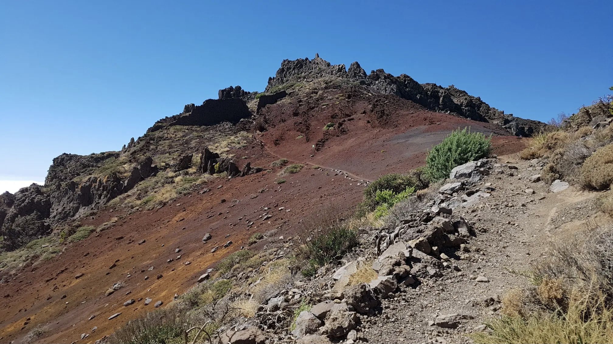
GR 131 El Bastón – La Palma in all its splendour
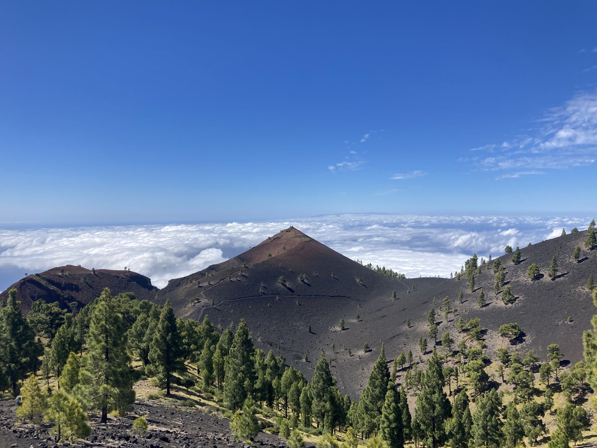
Transvulcania - traverse la Palma in the Canary Islands on the GR 131
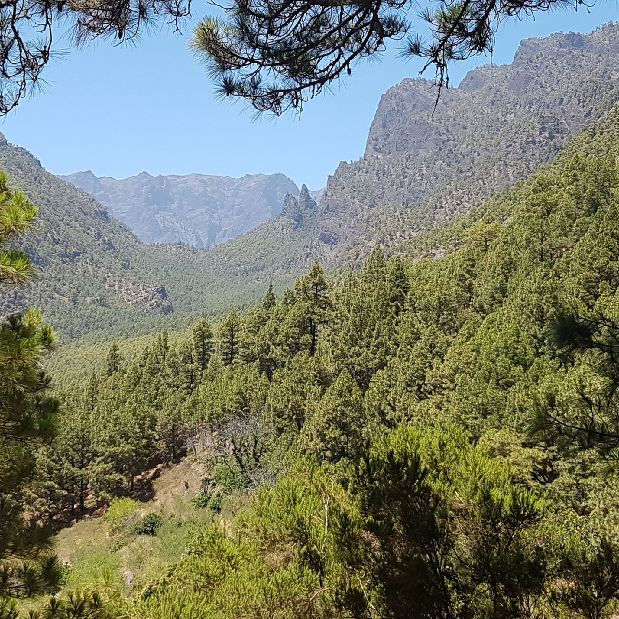
Hiking in La Caldera De Taburiente
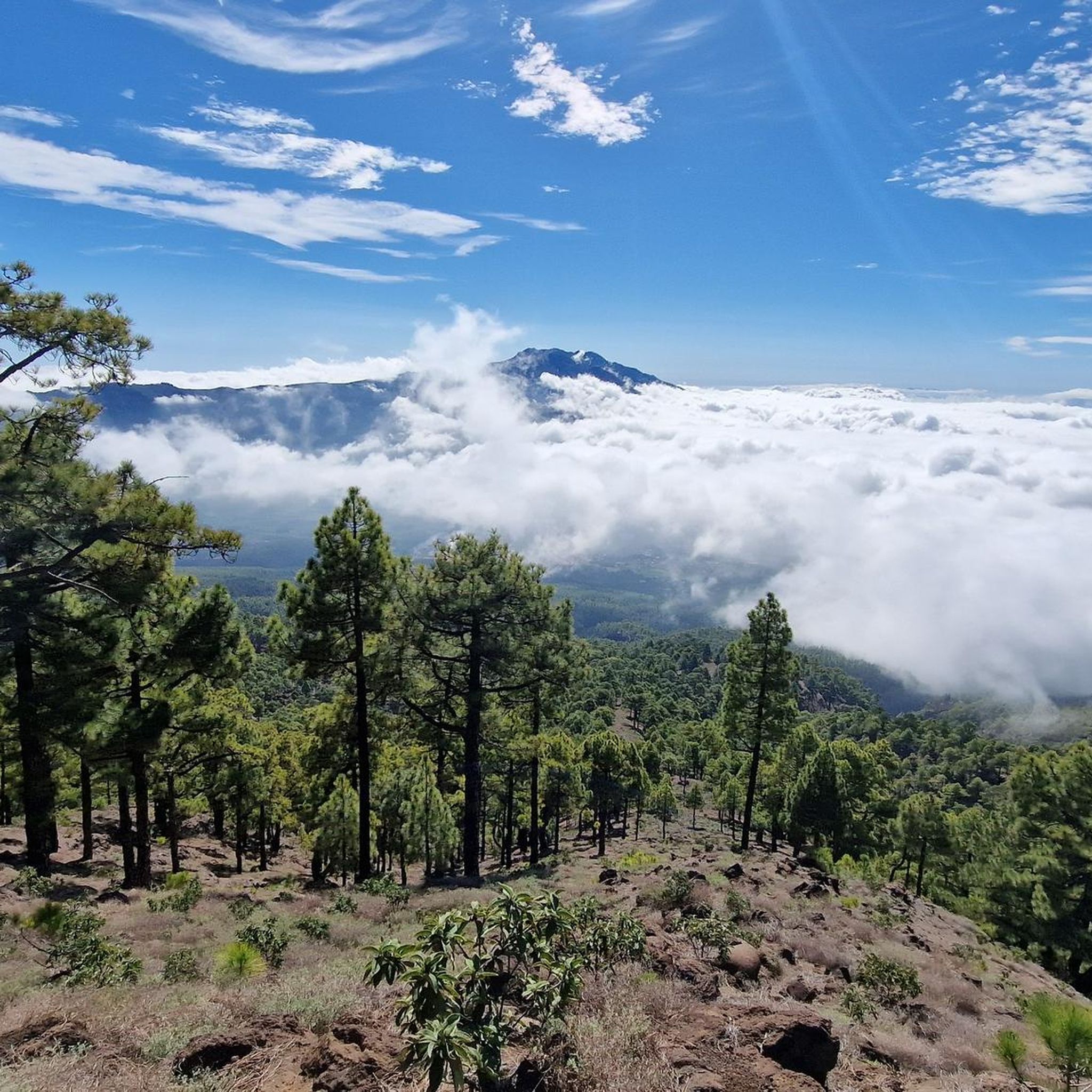
Running Trails in La Caldera De Taburiente
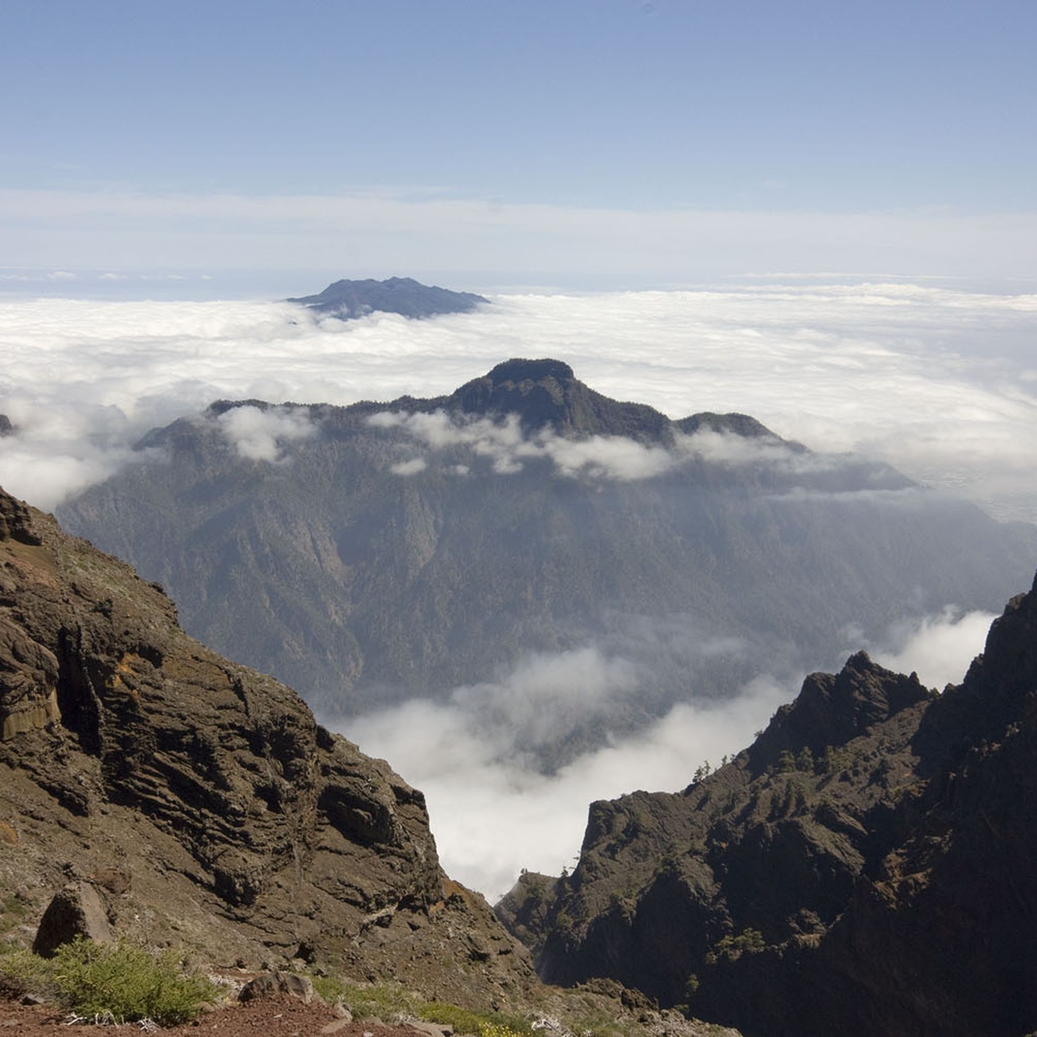
Cycling in La Caldera De Taburiente
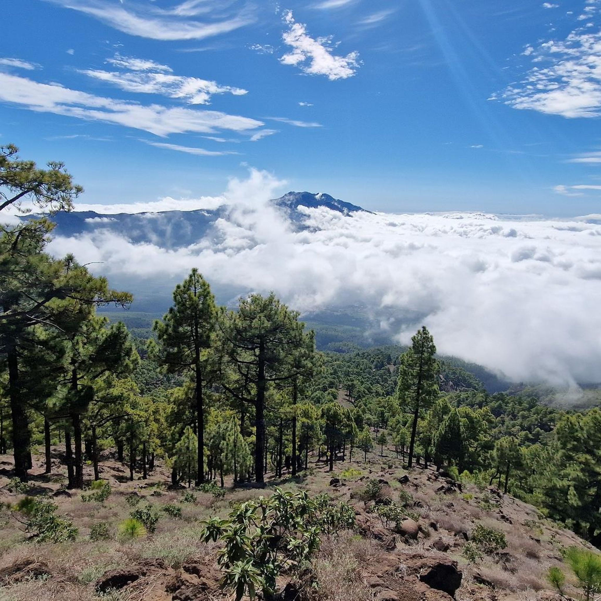
MTB Trails in La Caldera De Taburiente
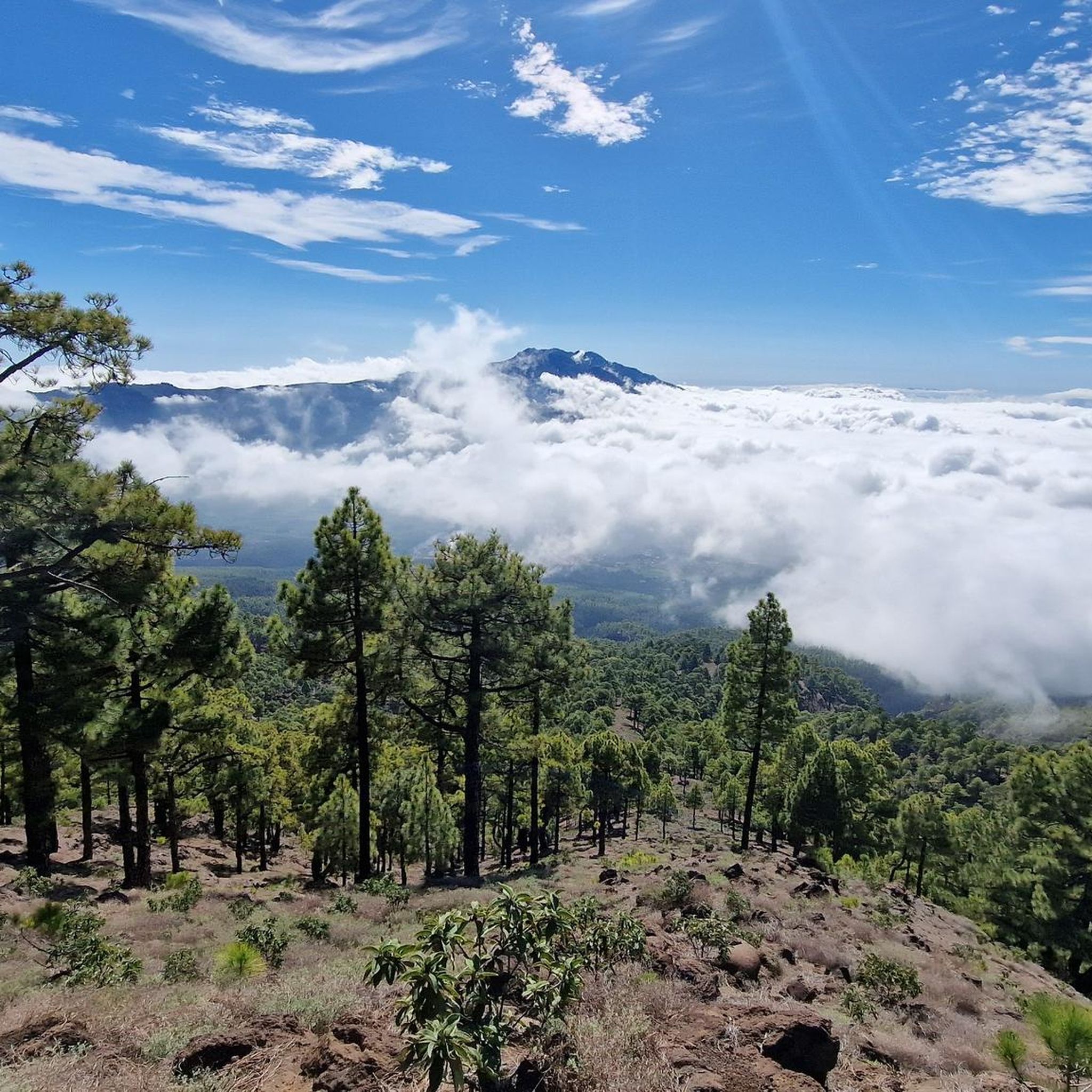
Road Cycling Routes in La Caldera De Taburiente

Mountain Hikes in La Caldera De Taburiente


Tips from the Community

We were here on a weekday and reserved our parking spot in advance at the nature park's information desk, as the online reservation didn't work. Time slot from 10:00 AM to 4:00 PM. English and German are spoken there. Very friendly staff. And it's especially worth mentioning that the parking is free! At the top of the parking lot, there's also a rancher who will gladly assist you with any questions. Top organized!!! No matter which viewpoint you want to hike to from here... each one is worth it. The trails are top and also easy to walk. Breathtaking viewpoints that will remain in your memory...... STICKS AND STURDY FOOTWEAR ARE RECOMMENDED
1
0

The ridge is often cold and damp
0
0

A top viewpoint of the crater and the cone. Worth a detour
0
0

Beautiful mosaic square built by the island artist Luis Morera in 1996
0
0

A deep sinkhole opens up here: It's a volcanic vent approximately 70 meters deep, which can be circumnavigated on secured paths. A few steps allow you to descend into the hole, but trying to see the bottom is doomed to failure.
0
0


Really impressive in clear weather
3
1
Frequently Asked Questions
How many gravel bike trails are available in La Caldera de Taburiente?
There are currently 3 challenging gravel bike routes available in La Caldera de Taburiente, offering a unique experience through the volcanic landscapes of La Palma.
What is the typical terrain like for gravel biking in La Caldera de Taburiente?
The terrain in La Caldera de Taburiente is characterized by dramatic volcanic landscapes, including compacted gravel paths, unpaved sections, and some asphalt. You'll encounter significant elevation changes, dense Canary Island pine forests, and breathtaking views of the immense erosion crater.
Are the gravel bike routes in La Caldera de Taburiente suitable for beginners?
The gravel bike routes listed for La Caldera de Taburiente are generally classified as difficult due to significant elevation changes and varied terrain. They are best suited for experienced gravel cyclists looking for a challenging ride.
What natural features or landmarks can I see while gravel biking in La Caldera de Taburiente?
While exploring the area, you can encounter spectacular natural features. Highlights include the towering Roque de los Muchachos, the highest point on La Palma, and the unique Colorful Waterfall, known for its mineral-tinted hues. You might also pass viewpoints like Lomo de Tagasaste Viewpoint and Los Roques Viewpoint, offering panoramic vistas of the caldera.
Are there any waterfalls accessible on gravel bike routes?
Yes, the famous Colorful Waterfall (Cascada de Colores) is a notable feature within the park, known for its vibrant mineral deposits. While some trails within the national park might have restrictions for bikes, routes around the caldera offer opportunities to experience the region's water features.
What are some of the longer gravel bike routes in the area?
One of the longer routes is the Hoyo de la Sima – Tajogaite Volcano Viewpoint loop from Santa Cruz de La Palma, which covers approximately 71 kilometers with over 2,000 meters of elevation gain. Another substantial option is the Tajogaite Volcano Viewpoint – Hoyo de la Sima loop from Los Llanos de Aridane, spanning about 60 kilometers.
Is parking available for gravel bikers in La Caldera de Taburiente?
Parking facilities are available at various access points around La Caldera de Taburiente National Park, such as near Los Llanos de Aridane or Santa Cruz de La Palma, which serve as starting points for many routes. It's advisable to check specific trailhead information for designated parking areas.
Can I reach the gravel bike trails by public transport?
Public transport options to the vicinity of La Caldera de Taburiente exist, particularly to towns like Los Llanos de Aridane and Santa Cruz de La Palma. However, direct public transport access to specific trailheads within the national park can be limited, and transporting bikes might require special arrangements. It's best to research local bus services (guaguas) and their bike policies.
What is the best time of year for gravel biking in La Caldera de Taburiente?
La Caldera de Taburiente offers good conditions for gravel biking year-round due to La Palma's mild climate. However, spring and autumn generally provide the most pleasant temperatures and stable weather. Summer can be hot, especially at lower elevations, while winter might bring cooler temperatures and occasional rain, particularly at higher altitudes.
Are there any loop gravel bike trails in La Caldera de Taburiente?
Yes, all the listed gravel bike routes in La Caldera de Taburiente are loop trails. For example, you can explore the Llano del Jable – Refugio del Pilar loop from Los Llanos de Aridane, offering a comprehensive tour of the area's diverse landscapes.
Are there any specific regulations for cycling within La Caldera de Taburiente National Park?
La Caldera de Taburiente is a National Park and UNESCO Biosphere Reserve, meaning certain areas and trails may have restrictions on cycling to protect the natural environment. While routes around the caldera are suitable for gravel biking, it's crucial to check official park regulations regarding bicycle access on specific trails, especially within the core protected zones, before you ride.
Most popular routes in La Caldera De Taburiente
Most popular attractions in La Caldera De Taburiente

Get inspired with the komoot mobile app


Explore more
Browse the best Gravel rides in other regions.
