The best MTB trails in Majona
4.2
(80)
361
riders
18
rides
Mountain bike trails in Majona, located on Isla De La Gomera, traverse a landscape characterized by its rugged volcanic terrain and dense laurel forests. The region features significant elevation changes, with routes climbing through valleys and offering views of the Atlantic. This area provides a diverse range of mountain biking experiences, from challenging ascents to technical descents.
Best mountain bike trails in Majona
- The most popular mountain bike trail is Majona Park and Enchereda Loop, a 19.6 miles (31.5 km) trail that takes 3 hours 41 minutes to complete. This difficult route features substantial elevation gain through the park's varied terrain.
- Another top favourite among local mountain bikers is Tower of the Count – Ferry to Los Cristianos loop from Risco Grande, a moderate 16.9 miles (27.1 km) path. This route includes coastal views and takes approximately 2 hours 2 minutes.
- Local mountain bikers also love the Water source – In the heart of the rainforest loop from La Gomera, a 27.7 miles (44.7 km) trail leading through dense rainforest, often completed in about 4 hours 25 minutes.
- Mountain biking in Majona is defined by volcanic landscapes, deep ravines, and ancient laurel forests. The network offers options for different ability levels, with more than 10 mountain bike trails ranging from moderate to difficult.
- The routes in Majona are highly rated by the komoot community with an average score of 4.6 stars from more than 40 reviews. More than 200 mountain bikers have used komoot to explore Majona's varied terrain.
Last updated: August 11, 2026
4.3
(3)
15
riders
31.5km
03:41
1,260m
1,260m
Hard mountain bike ride. Very good fitness required. Advanced riding skills necessary. Some portions of the route may require you to push your bike.
4.9
(7)
24
riders
43.2km
04:15
1,160m
1,160m
Hard mountain bike ride. Very good fitness required. Advanced riding skills necessary. Some portions of the route may require you to push your bike.

Sign up for free
5.0
(2)
12
riders
28.9km
02:59
780m
780m
Hard mountain bike ride. Good fitness required. Advanced riding skills necessary. Some portions of the route may require you to push your bike.
4.3
(6)
23
riders
38.1km
03:29
980m
980m
Hard mountain bike ride. Very good fitness required. Advanced riding skills necessary. Some portions of the route may require you to push your bike.
4.9
(7)
33
riders
39.7km
04:01
1,560m
1,560m
Hard mountain bike ride. Very good fitness required. Advanced riding skills necessary. Some portions of the route may require you to push your bike.
Get access to more routes and recommendations from other explorers.
Sign up for free
Already have an account?
Our route recommendations are based on thousands of hikes, rides, and runs completed by other people on komoot.
Start today with a free account
Your next adventure awaits.
Login or Signup
Tips from the Community

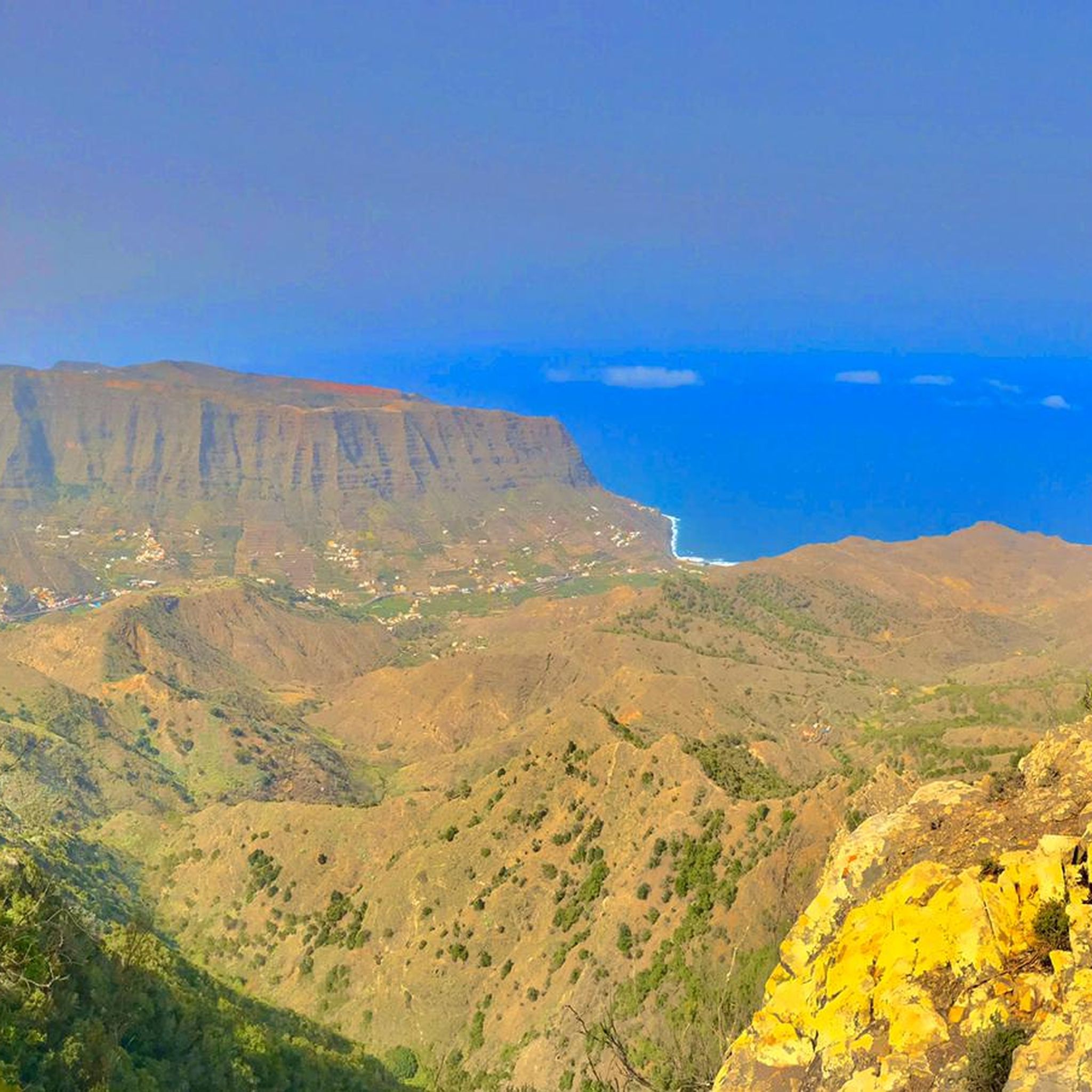
This viewpoint belongs to the old route of the GM-1, next to the Aguajilva Tunnels. If you come down from above, you will find a metal gate: the old section was closed after the construction of the modern road and can no longer be fully traversed. The only way to get there today is from below, via a small track that leads to the viewpoint and the old rest area. And precisely therein lies the charm of the place: it seems like a forgotten fragment of the old Gomera. Here, the curves carved into the rock, the silence of the old road, and the brutal views towards the inland ravines and the Chejelipes area are still preserved. While cars pass through the mountain via the modern tunnels, this corner remains frozen in another era. It is one of those hidden places that almost no one visits by chance... and for that very reason, it retains so much personality.
0
0
La Fortaleza is a large volcanic formation located in the west-central part of La Gomera, near Chipude. It is an ancient volcanic plug that resisted erosion for millions of years, becoming isolated and elevated above the surrounding ravines. At an altitude of approximately 1,243 meters, it was a sacred place for the ancient gomeros and today it is one of the island's most emblematic landscapes, with spectacular views towards the mountains, ravines, and the Atlantic.
1
0
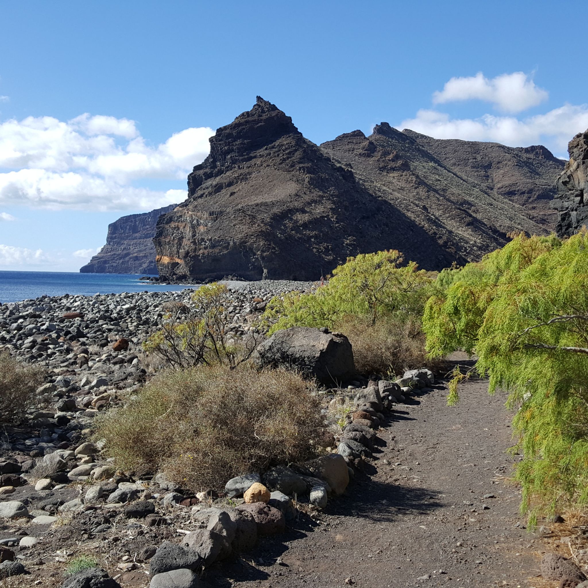
Isolated and spectacular track in the north of La Gomera, surrounded by ravines, palm groves, and old hamlets like Arguamul. In the background, Roque Cano constantly appears, the enormous volcanic plug that dominates Vallehermoso and looks like a gigantic stone chimney emerging from the mountain. This whole area preserves the most authentic and rural Gomera, with terraces, narrow paths, and villages where for years life was practically cut off from the rest of the island. A track that still conveys a sense of adventure and real isolation.
0
0
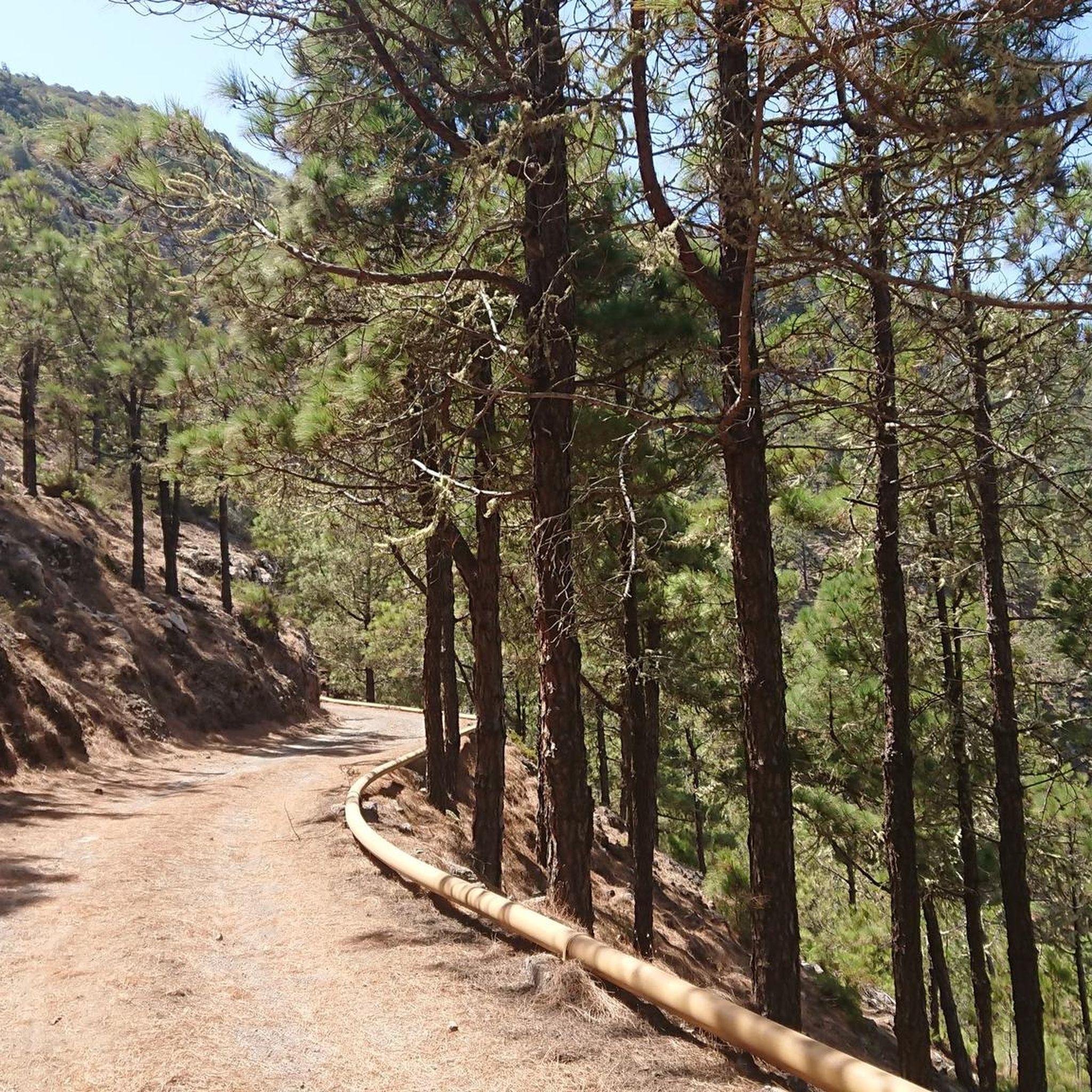
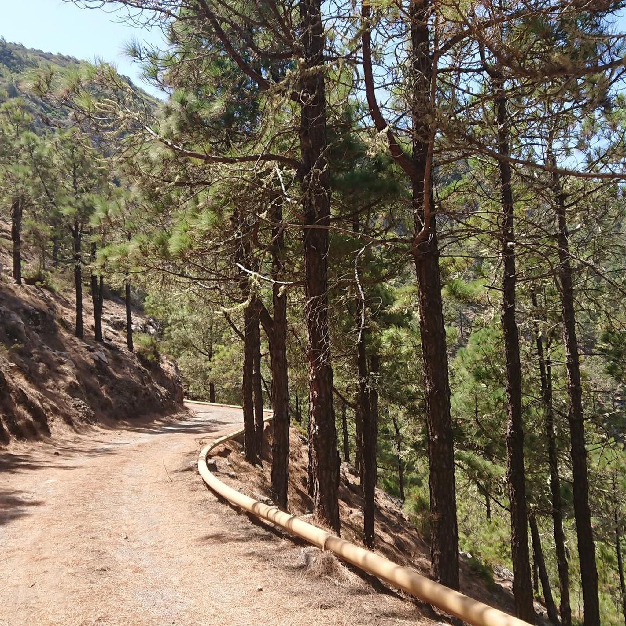
This stretch of track that runs above Los Aceviños crosses one of the most silent and enveloping areas of La Gomera's humid forest. The slope here is quite gentle and allows for quiet riding amidst fog, moss, and moisture-covered trees, with that constant feeling of absolute isolation so characteristic of Garajonay. For many minutes, practically the only thing you hear is, on rare occasions, some wind, water falling from the vegetation, and the forest's own silence. Total silence, a sensation of entering another realm. And precisely because of this, this point is so curious. Turning one of the curves near the viewpoint and the landscape opening up slightly, the small settlement of Los Aceviños appears for the first time, and almost at the same time, distant barks of dogs begin to be heard, warning the population. After 20 or 30 minutes of riding completely isolated amidst fog and forest, the sensation is extremely strange, almost like suddenly returning to civilization solely through the echo of dogs barking in the mountains. From here, you can also appreciate beautiful views over Tenerife and Teide when the sky is clear. Los Aceviños is a small rural settlement traditionally linked to agriculture and gomera mountain life, still very much integrated into the natural and forest landscape of this upper part of the island.
0
0
Important junction within the upper area of La Gomera's forest tracks. It's advisable to pay attention here because the CV-22 descends towards the El Cedro area and ends up becoming a dead-end track. If you want to continue the traverse behind Montaña de las Cuevas and keep advancing along the ridge, it's important to take the left path and continue straight ahead. This whole area combines very quiet tracks, humid forest, and spectacular views over ravines and mountains. It's one of those points where a small mistake can completely change the route, especially if you are following long bike routes on the upper part of the island.
1
0
In this damp and silent corner of the Garajonay forest, amidst moss, fog, and gigantic trees, a curious local tradition seems to have developed: hugging ancient tree trunks for several minutes while contemplating the existential void, the sound of the forest, or simply nothing. The most surprising thing is that, after doing so, people come out quite happy. Seeing the tranquility this place conveys, it's hard to judge them. However, an important warning: leaning your electric bike against the trees does not recharge the battery at all. Confirmed. This system apparently only works with humans.
0
0
El Barranco del Cedro is one of the most humid, green, and spectacular places on the whole of La Gomera. Located in the heart of Garajonay National Park, this ravine crosses one of the best-preserved laurel forest areas in the Canary Islands, with dense vegetation, moss, giant ferns, and small watercourses that keep the environment constantly humid and fresh. The area is well known for its trails and the feeling of entering an almost tropical or prehistoric forest. Here, fog tends to get trapped between the mountains for much of the year, creating a very special microclimate that allows ancient plant species to survive. The constant sound of water, the trees covered in moisture, and the almost total absence of noise make this place one of the most magical and tranquil corners of the island. In addition to its enormous natural value, El Barranco del Cedro also had historical importance for water use and for small rural settlements linked to traditional Gomera agriculture. Old terraces, canals, and hydraulic elements integrated into the ravine's landscape can still be seen.
2
0
El Roque de Agando is probably the most iconic and photographed rock formation on La Gomera. It is a huge volcanic plug formed by very resistant rock that was exposed after millions of years of erosion. While the rest of the volcanic terrain gradually disappeared, this gigantic needle remained standing, dominating the entire landscape in the center of the island. It rises to an altitude of about 1,250 meters and is part of a group of volcanic rocks visible from much of Garajonay. Its vertical and isolated silhouette, especially when it appears shrouded in mist or illuminated by the low sun, gives it an almost unreal appearance. The road that passes by the roque is considered one of the most spectacular on La Gomera and is a classic spot to stop and contemplate the landscape. For the ancient inhabitants of La Gomera, it also had symbolic and territorial importance, and even today it remains one of the island's great natural emblems. The contrast between the dark rock, the green ravines, and the low clouds creates one of the most recognizable images of the Canary Islands.
2
0
Frequently Asked Questions
What kind of terrain can I expect on mountain bike trails in Majona?
Majona, located on Isla De La Gomera, offers a diverse landscape for mountain biking. You'll encounter rugged volcanic terrain, deep ravines, and ancient laurel forests. The trails feature significant elevation changes, with routes climbing through valleys and providing views of the Atlantic.
How many mountain bike trails are available in Majona?
There are 13 mountain bike trails documented in Majona, offering a range of experiences from moderate to difficult. These routes are highly rated by the komoot community, with an average score of 4.6 stars.
Are there any family-friendly mountain bike trails in Majona?
While Majona's trails are generally categorized as moderate to difficult, some sections might be suitable for families with older, experienced riders. For a moderate option, consider the Tower of the Count – Ferry to Los Cristianos loop from Risco Grande, which is 27.1 km long and offers coastal views.
What are some notable natural features or landmarks to see while mountain biking in Majona?
Majona offers several interesting points. You can explore the Majona Natural Park itself, or discover the Abandoned Settlement of El Palmar. For scenic views, the Scenic Ascent to Degollada de la Cumbre is a highlight.
Are there any challenging mountain bike routes for experienced riders?
Yes, Majona is well-suited for experienced riders, with 9 out of 13 trails rated as difficult. Routes like the Majona Park and Enchereda Loop (31.5 km) or the Water source – In the heart of the rainforest loop from La Gomera (44.7 km) feature substantial elevation gain and technical sections.
What do other mountain bikers say about the trails in Majona?
The komoot community rates Majona's mountain bike trails highly, with an average score of 4.6 stars from over 40 reviews. Riders often praise the diverse terrain, the challenging ascents, and the unique experience of riding through volcanic landscapes and ancient laurel forests.
Are there any mountain bike trails that go through rainforests in Majona?
Yes, Majona features trails that lead through dense rainforests. The Water source – In the heart of the rainforest loop from La Gomera is a 44.7 km difficult trail that takes you deep into this lush environment. Another option is the In the heart of the rainforest – Water source loop from Meriga.
Can I find loop trails for mountain biking in Majona?
Many of Majona's mountain bike routes are designed as loops, allowing you to start and finish in the same location. Examples include the challenging Garajonay National Park Loop from Laguna Grande and the Majona Park and Enchereda Loop.
What is the typical elevation gain on Majona's mountain bike trails?
Majona's trails are characterized by significant elevation changes. For instance, the Majona Park and Enchereda Loop involves over 1200 meters of ascent, while the Water source – In the heart of the rainforest loop from La Gomera has a similar challenging climb.
Are there any mountain bike trails with coastal views in Majona?
Yes, some routes in Majona offer stunning coastal vistas. The Tower of the Count – Ferry to Los Cristianos loop from Risco Grande is a moderate 27.1 km trail that includes beautiful views of the Atlantic.
Most popular routes in Majona
Most popular attractions in Majona

Get inspired with the komoot mobile app


Explore more
Browse the best MTB trails in other regions.
