The best road cycling routes in Pennsylvania
4.6
(679)
24,291
riders
2,762
rides
Road cycling in Pennsylvania offers diverse terrain, from the rolling hills of the Pocono Mountains to the river valleys and extensive forest lands. The state features an extensive network of routes, including dedicated bike paths and shared-use roads, often incorporating historic rail beds and river corridors. Cyclists can navigate through varied landscapes, including dense woodlands, farmlands, and along numerous waterways. This varied topography provides options for different skill levels, from gentle paths to challenging climbs.
Best road cycling routes in Pennsylvania
- The most popular road cycling route is Great Allegheny Passage, a 38.1 miles (61.2 km) trail that takes 2 hours 56 minutes to complete. This moderate route offers diverse river and forest views.
- Another top favourite among local road cyclists is Schuylkill River Trail Loop, a moderate 46.7 miles (75.2 km) path. This route follows an easygoing bike path, providing scenic views along the Schuylkill River.
- Local road cyclists also love the Panhandle Trail, a 52.7 miles (84.8 km) trail leading through forests and farmlands, often completed in about 3 hours 32 minutes.
- Road cycling in Pennsylvania is defined by mountain ranges, extensive forests, and numerous rivers and streams. The network offers options for different ability levels, from easy paths to routes with significant elevation gains.
- The routes in Pennsylvania are highly rated by the komoot community with an average score of 4.6 stars from over 560 reviews. More than 23,000 road cyclists have used komoot to explore Pennsylvania's varied terrain.
Last updated: October 11, 2026
5.0
(2)
229
riders
61.2km
02:56
340m
340m
This section of the Great Allegheny Passage offers a delightful ride through the Monongahela River valley, showcasing a blend of natural beauty and industrial heritage. You'll glide along a smooth, packed crushed limestone surface, occasionally transitioning to paved sections, as the route winds past historical markers like the McKeesport Connecting Railroad Bridge. The scenery is consistently engaging, with river views, lush forests, and remnants of the region's past, providing a rich backdrop for your journey.
Planning your ride on this moderate 38.1-mile (61.2 km) route, which typically takes around 2 hours and 56 minutes with 1110 feet (338 metres) of elevation gain, is straightforward. The trail is easily accessible, and while the surface is generally excellent, tires of 28mm or wider are recommended for optimal comfort, especially if the trail is damp. Numerous trail towns along the GAP provide convenient amenities, making it easy to find refreshments or take a break.
What makes the Great Allegheny Passage truly special is its heritage as a converted rail trail, ensuring a remarkably gentle grade that's perfect for casual cycling. This route is part of a much larger network, connecting to the C&O Canal Towpath for those dreaming of a multi-day adventure to Washington, D.C. It's a fantastic way to experience a piece of American history and enjoy the outdoors without strenuous climbs.
89
riders
84.8km
03:32
500m
500m
The Panhandle Trail offers a moderate road cycling experience, covering 52.7 miles (84.8 km) with a total elevation gain of 1657 feet (505 metres). You can expect to complete this route in about 3 hours and 32 minutes. As you cycle, you'll pass through diverse scenery, including hardwood forests, open farmland, and alongside creeks like Harmon Creek and Robinson Run. Keep an eye out for decorative birdhouses and memorials, especially as you approach Walkers Mill, adding unique visual interest to your ride.
When planning your visit, be aware that while much of the Panhandle Trail is paved, certain sections require consideration for your bike setup. Specifically, the eastern end from Walkers Mill and the portion extending into West Virginia are composed of crushed limestone or gravel. If you plan to ride these unpaved parts, you might find wider or knobbier tires more comfortable than narrow slick tires, ensuring a smoother journey.
This route is a rail-trail, meaning it follows a former railway line, which often translates to a relatively gentle grade and accessible cycling. The trail is particularly known for its beautiful fall foliage, making autumn an especially scenic time to visit. You'll also cross many bridges over waterways, providing pleasant views and a consistent connection to the natural landscape.

5.0
(1)
65
riders
30.2km
01:32
220m
220m
Embark on the Gettysburg Tour, an easy road cycling route that guides you through the historic Gettysburg National Military Park. You will cover 18.8 miles (30.2 km) with a gentle elevation gain of 711 feet (217 metres), making it a relaxed ride. As you cycle, you will pass countless monuments and markers, immersing yourself in the profound history of the Civil War battlefield. Expect to complete this tour in about 1 hour and 31 minutes, enjoying the blend of natural beauty and historical significance.
When planning your visit, remember that the terrain around Gettysburg features gentle rolling hills. Most surfaces within the battlefield park are paved, ensuring a smooth ride. While the route is generally easy, be aware that some sections might include short, punchy climbs. Cyclists have more flexibility than cars on the battlefield, as you are not always restricted by one-way roads. This allows for a more personalized exploration of the area.
Beyond the battlefield, the route also takes you through the picturesque Adams County countryside. Here, you can enjoy vast farm scenery and wooded areas, offering a different perspective of the region. Keep an eye out for observation towers along the way; these provide excellent panoramic views and are great spots to pause and take in the landscape. This tour offers a unique opportunity to connect with history while enjoying a pleasant ride.
5.0
(1)
36
riders
24.5km
01:08
170m
170m
The Rose Wood loop from Gettysburg offers an easy 15.2-mile (24.5 km) road cycling experience that feels like a ride through a living history book. You'll pedal through preserved rural landscapes, passing by regimental monuments nestled within wooded areas and enjoying pastoral views. With only 567 feet (173 metres) of elevation gain, this route is designed for a relaxed pace, taking about 1 hour and 8 minutes to complete, making it ideal for a leisurely exploration of the historic battlefield.
Planning your ride on this loop means opting for a more tranquil experience compared to the busier official National Park Service auto tours. Its easy difficulty makes it a fantastic choice for beginner road cycling routes in the Gettysburg area or for families looking for a comfortable outing. You can immerse yourself in the scenery without the constant presence of heavy traffic, making for a more personal and reflective journey.
This route is particularly notable for its deep historical significance, traversing an area where prolonged and bloody fighting occurred during the Battle of Gettysburg in July 1863. As you cycle, you'll encounter visual clues like monuments and park road signs, many named after Union officers, which help illustrate the military history and battle formations. It's a unique way to engage with the past, offering a "hands-on journey through history" that brings the battlefield to life.
5.0
(1)
8
riders
75.2km
03:32
610m
610m
The Schuylkill River Trail Loop offers a dynamic road cycling experience, transitioning from bustling Philadelphia cityscapes to tranquil riverfronts and rural landscapes. You'll pedal past iconic landmarks like Boathouse Row and enjoy views of the Philadelphia skyline from Belmont Plateau, with sections of tree-canopied paths providing a refreshing change of scenery. While predominantly paved, be prepared for some fine gravel or crushed stone surfaces, such as those found along the Manayunk Canal.
This moderate 46.7-mile (75.2 km) route involves 2009 feet (612 metres) of elevation gain and typically takes about 3 hours and 31 minutes to complete. Numerous access points and parking options are available, making it easy to start your ride. Spring and fall are particularly pleasant times to visit, offering mild weather and beautiful foliage, though the trail is popular year-round.
The Schuylkill River Trail is a significant part of the larger Circuit Trails network and the East Coast Greenway, highlighting its importance as a regional connector. It follows the historic Schuylkill River, offering glimpses into centuries of industrial and environmental history. This blend of urban, natural, and historical elements makes it a unique and varied cycling destination.
4.5
(2)
26
riders
18.6km
01:07
70m
70m
The Three Rivers Heritage Trail Loop offers a fantastic way to experience Pittsburgh's unique urban landscape from the saddle of your bike. This easy road cycling route winds along the city's iconic waterways, providing continuous riverfront views of the Allegheny, Monongahela, and Ohio rivers. You'll cycle past a blend of modern architecture and historical sites, including the striking Andy Warhol Bridge and the expansive Point State Park, where the three rivers converge, making for a truly picturesque journey.
Planning your ride on this trail is straightforward, as it features numerous access points with convenient parking. The route is predominantly flat and paved, making it an excellent option for accessible cycling and beginner road cycling routes. You'll find plenty of amenities, such as cafes and shops, in vibrant districts like the North Shore and the South Side Works, perfect for a mid-ride break or a post-ride refreshment.
This 11.5-mile (18.6 km) loop, with a minimal 216 feet (66 metres) of elevation gain, typically takes just over 1 hour and 7 minutes to complete, making it a quick and rewarding outing. The trail is a crucial part of the larger Great Allegheny Passage, connecting you to a vast network of trails, and it offers a unique perspective on Pittsburgh's rich industrial and cultural heritage, with interpretative signage along the way.
2.0
(2)
19
riders
44.0km
02:13
420m
420m
Embark on a moderate racebike journey along the Three Rivers Heritage Trail Loop, a 27.4 miles (44.0 km) route that takes about 2 hours and 12 minutes to complete. You'll gain 1364 feet (416 metres) as you cycle past Pittsburgh's iconic skyline, with particularly striking views from the West End Bridge. The trail offers a dynamic experience, blending urban scenery with natural riverfront stretches along the Allegheny, Monongahela, and Ohio Rivers. Keep an eye out for local wildlife, including bald eagles, as you ride.
When planning your visit, know that the route is generally busy and safe during the day. You should still be aware of your surroundings, especially near certain bridges on the North Side or if you choose to ride after dark. The trail provides numerous access points and amenities along its length, making it convenient to start your adventure. You will find plenty of places to eat in areas like the Southside and The Strip District, and parking is available at various points along the route.
This loop is a fantastic way to explore Pittsburgh's vibrant riverfronts, offering diverse and engaging scenery throughout your ride. You will pass by cultural venues, downtown areas, and historic landmarks, providing a rich backdrop to your cycling experience. The trail uniquely combines urban landscapes with greener areas, ensuring a varied visual journey that highlights the city's connection to its three major rivers.
11
riders
85.0km
03:56
800m
800m
Get ready for a moderate racebike adventure on the Delaware Water Gap Loop, a 52.8 miles (85.0 km) journey that takes you through the stunning landscapes of the Delaware Water Gap National Recreation Area. You will climb 2632 feet (802 metres) over an estimated 3 hours and 56 minutes, offering a rewarding challenge. As you cycle, you will experience scenic views along the Delaware River and the majestic Kittatinny Mountains, passing through dense forests, rolling farmland, and dramatic cliffs. Keep an eye out for the historic Millbrook Village, a unique landmark that offers a glimpse into pioneer life amidst the natural beauty.
When planning your ride on the Delaware Water Gap Loop, you can expect mostly well-paved surfaces, making it ideal for racebikes. Parking is generally available close to the starting point, but it is always wise to check local signage for any specific regulations before you arrive. This route is designed for road cycling, so you can focus on the smooth ride without worrying about unpaved sections often found on other trails in the region. Consider starting early to make the most of the scenic views and avoid peak times, ensuring a more peaceful experience.
This loop stands out for its dedicated road cycling experience within the broader Delaware Water Gap area, which is known for its diverse terrain. The route offers a unique blend of natural beauty and historical interest, allowing you to immerse yourself in both the environment and the past. It provides a distinct opportunity to explore the region's dramatic geology and lush ecosystems from the saddle of your racebike.
13
riders
117km
05:02
630m
630m
The 9/11 National Memorial Trail (Pennsylvania Loop) offers a truly unique road cycling experience, blending a demanding physical challenge with a journey through diverse landscapes. You'll pedal through picturesque farmland, dense woodlands, and along scenic river trails, with highlights like the Northwest Lancaster County River Trail providing a mix of paved and unpaved surfaces. This difficult 72.7-mile (117.0 km) route, with its 2065 feet (629 metres) of elevation gain, is a hard ride that takes about 5 hours and 1 minutes, requiring very good fitness.
When planning your ride, be mindful that while the trail is federally designated, signage is still being improved across Pennsylvania, with full completion expected closer to the 25th anniversary of 9/11. This means you should come prepared with a reliable navigation system. Access points are available in various towns along the route, such as York, so you can choose your starting point based on convenience.
More than just a recreational path, this trail serves as a profound
18
riders
60.9km
03:12
1,150m
1,150m
Embark on the Black Moshannon loop for a challenging racebike adventure through the scenic Allegheny Plateau. This difficult route spans 37.8 miles (60.9 km) and demands a significant effort, with 3767 feet (1148 metres) of elevation gain. You will cycle through miles of dense forest, enjoying the atmosphere of the wilderness. Expect to spend around 3 hours and 11 minutes on this ride, taking in views of the beautiful Black Moshannon Lake and its beach area. It is a substantial workout on two wheels, offering a rewarding experience for experienced cyclists.
Before you set out, make sure your racebike is in excellent condition, especially given the significant elevation changes you will encounter. Parking is generally available within Black Moshannon State Park, providing a convenient starting point for your ride. While many roads in Centre County are well-paved, be aware that some parts of this route might not have adequate shoulders. Always ride with caution and stay alert to your surroundings, particularly on these sections.
This route takes you through the heart of Black Moshannon State Park, a natural gem on the Allegheny Plateau. As you navigate the mix of gentle inclines and tougher grades, keep an eye out for the rich wildlife that inhabits the dense forest. The park is known for its diverse ecosystems, making the ride not just a physical challenge but also an opportunity to connect with nature. The views of Black Moshannon Lake add a picturesque element to this demanding journey.
Get access to more routes and recommendations from other explorers.
Already have an account?
Our route recommendations are based on thousands of hikes, rides, and runs completed by other people on komoot.
Start today with a free account
Your next adventure awaits.
Popular around Pennsylvania
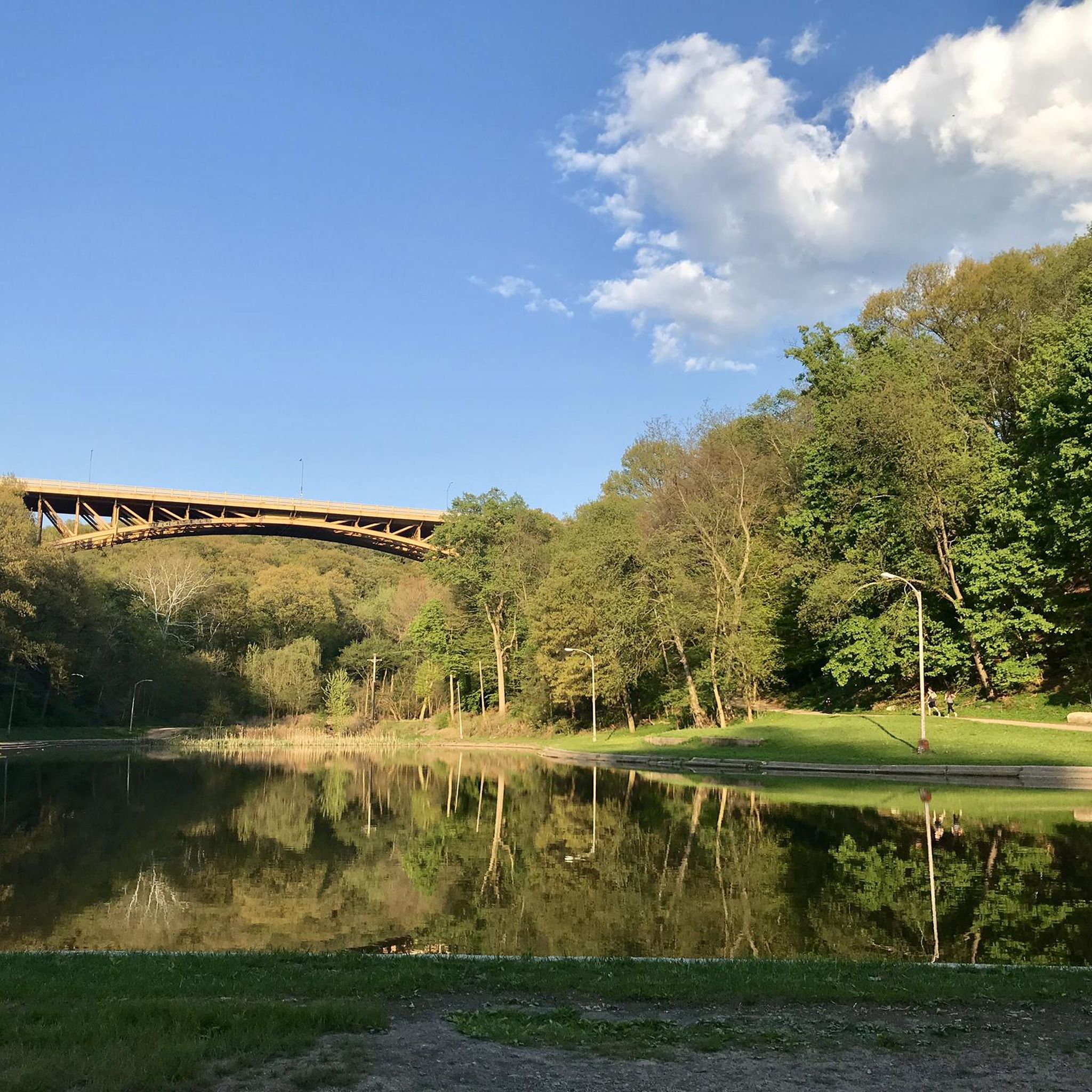
Road Cycling Routes in Allegheny County
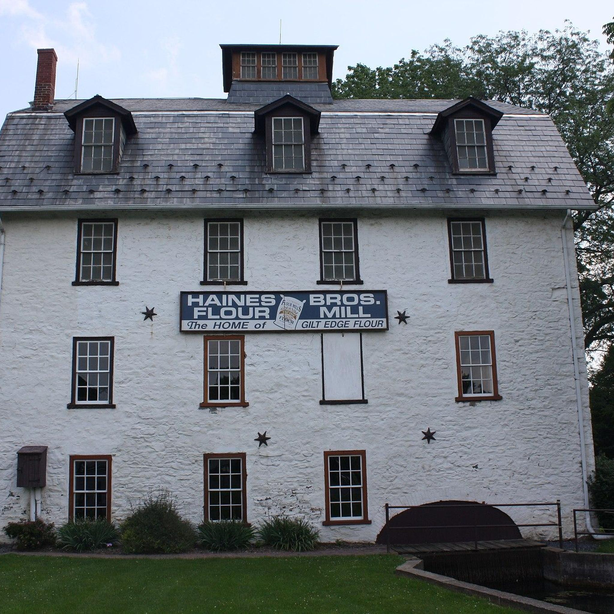
Road Cycling Routes in Lehigh County
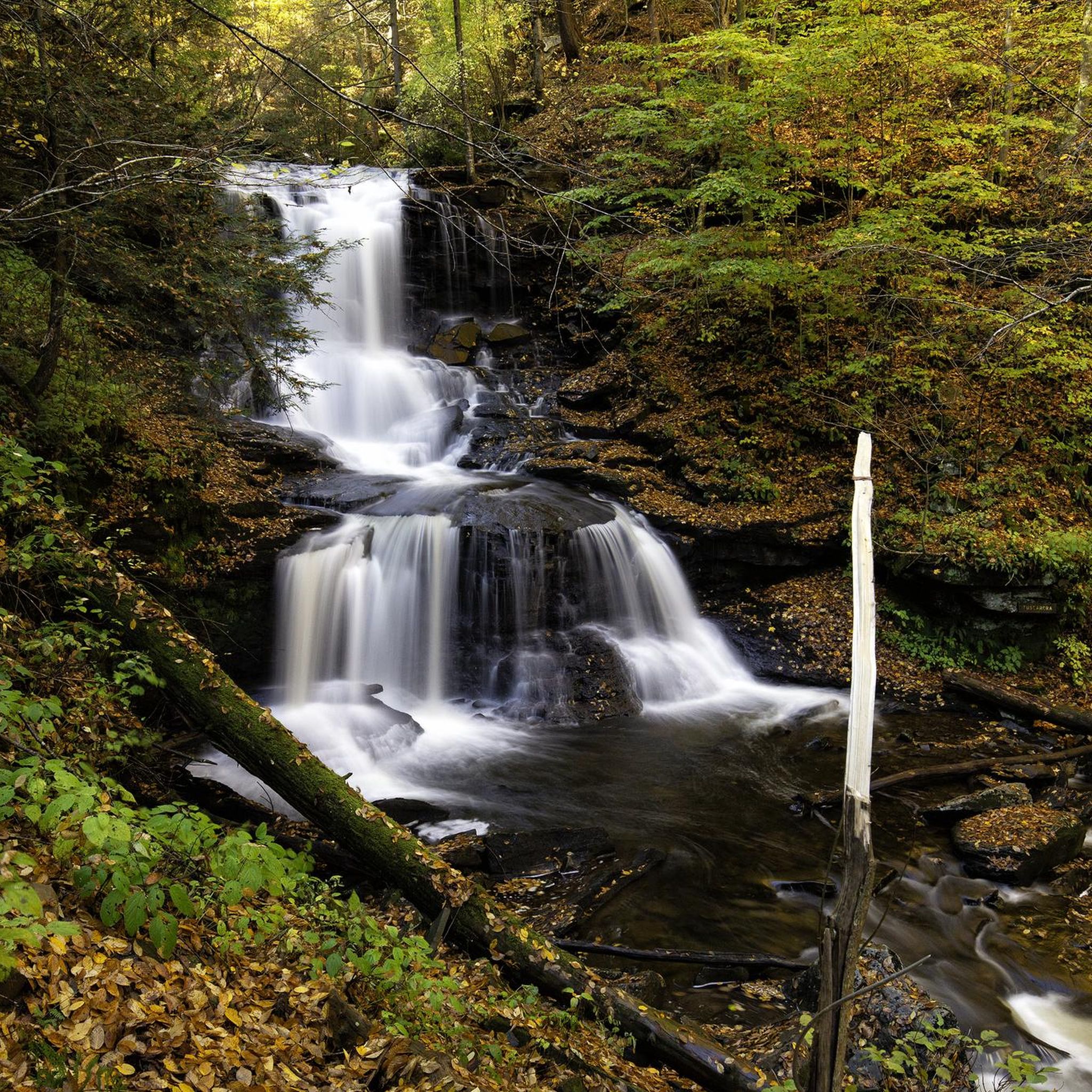
Road Cycling Routes in Luzerne County
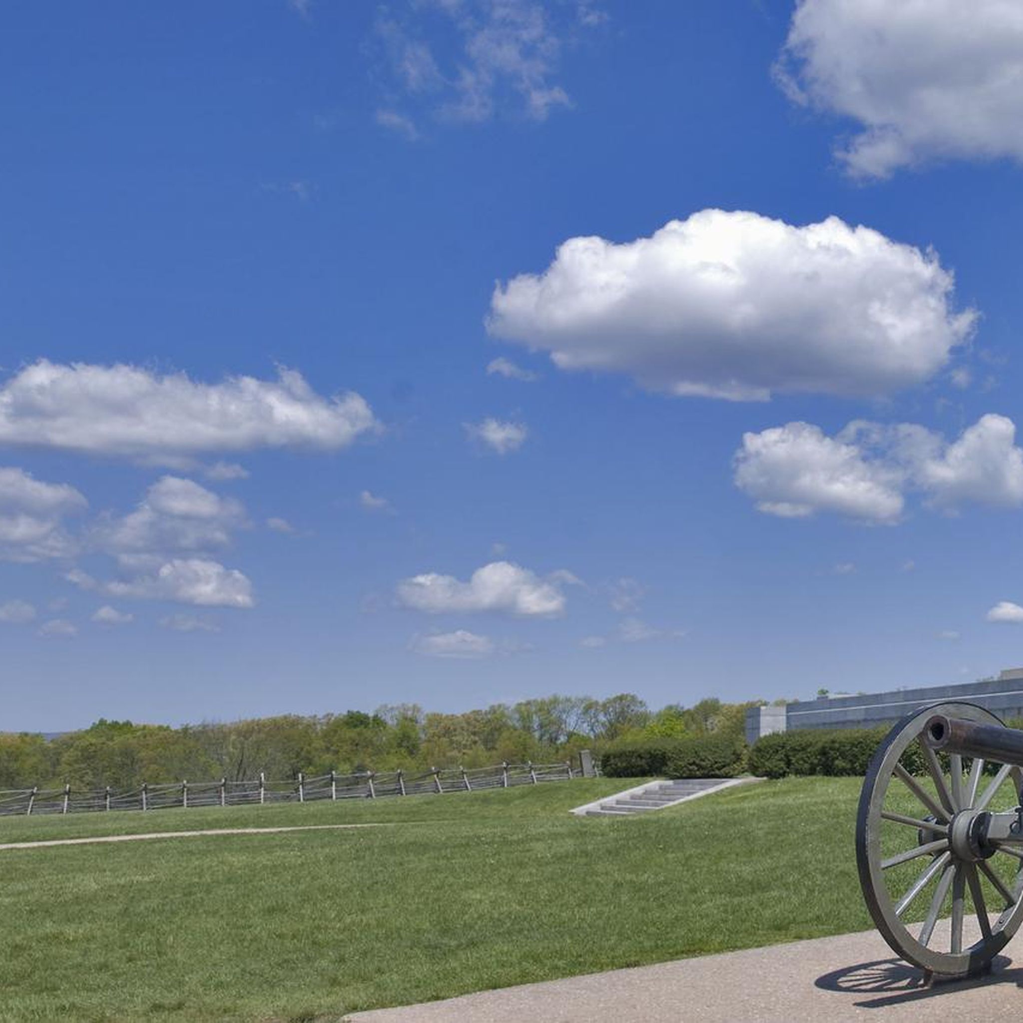
Road Cycling Routes in Adams County
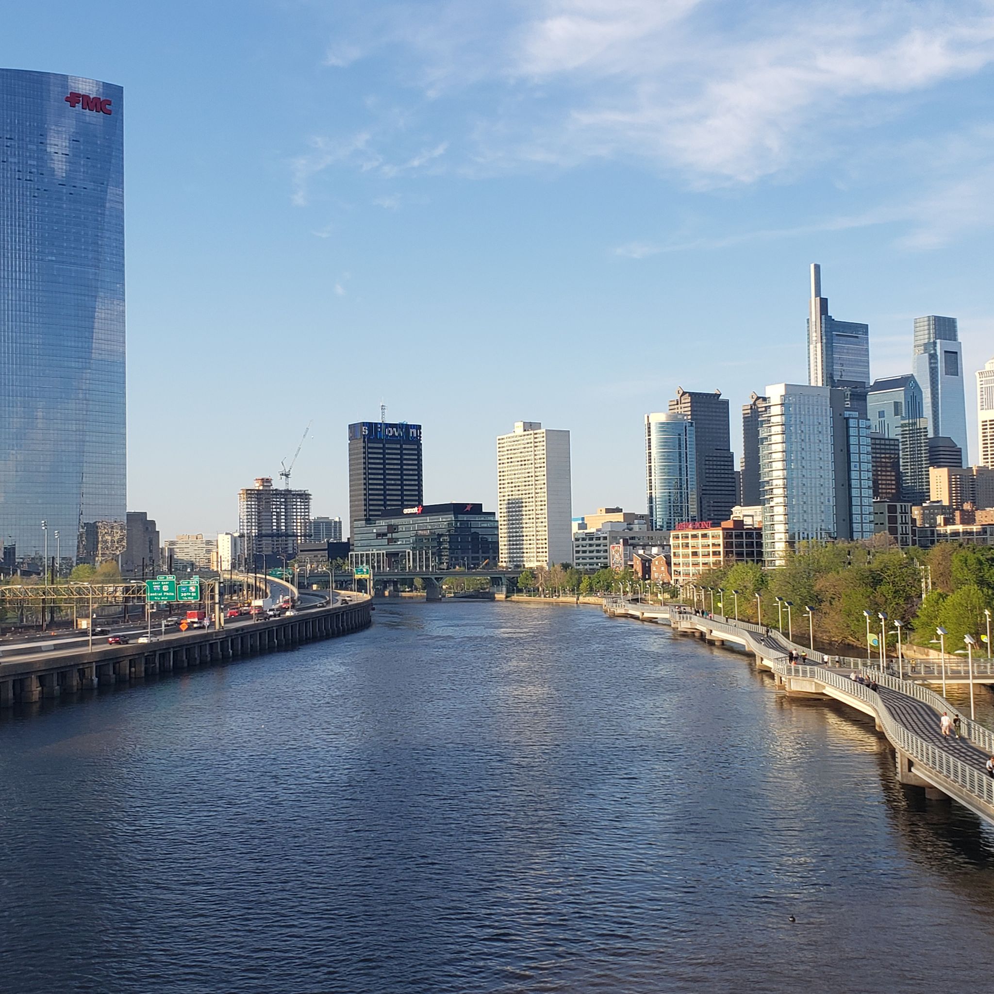
Road Cycling Routes in Philadelphia County
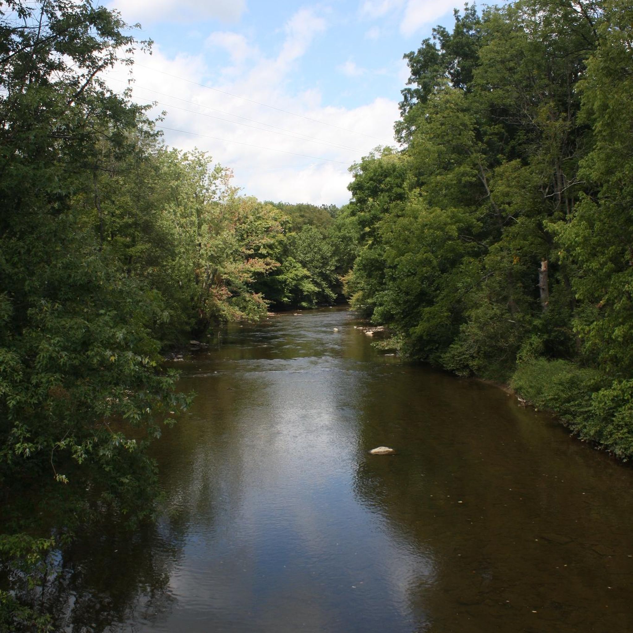
Road Cycling Routes in Berks County
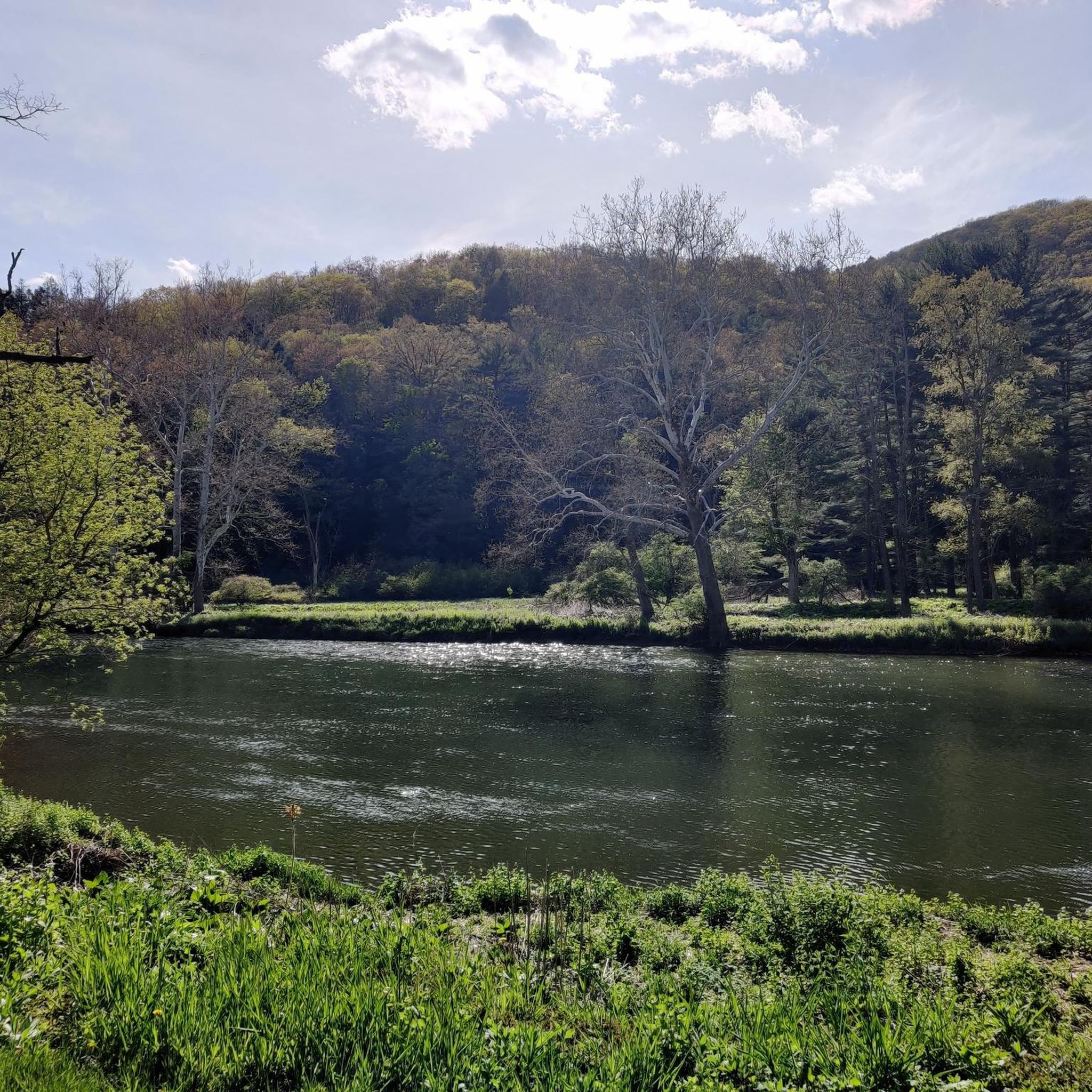
Road Cycling Routes in Centre County
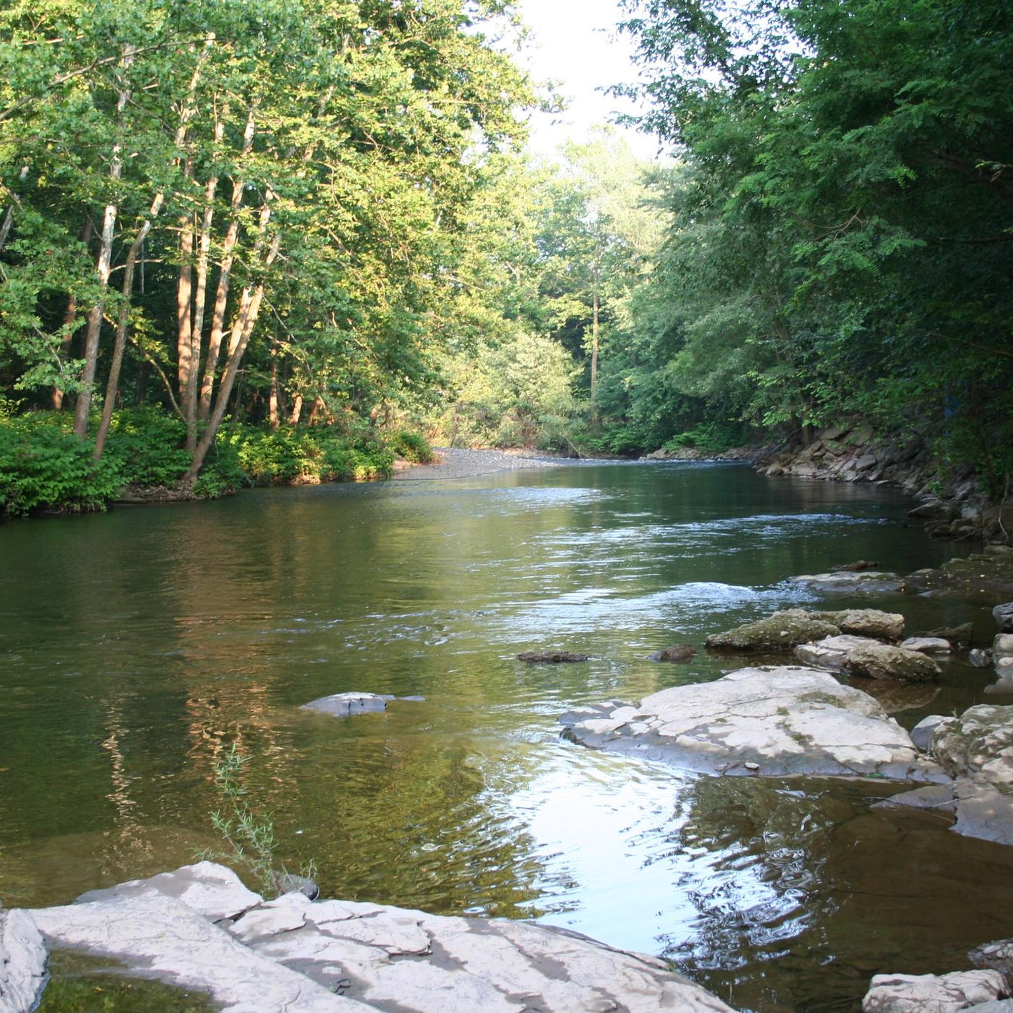
Road Cycling Routes in Columbia County
Road Cycling Routes in Montgomery County
Road Cycling Routes in Chester County
Other adventures in Pennsylvania


Tips from the Community

Color park is really pretty butt getting to it from the point is a little rough with the brick roads.
0
0

Great ride along the river with several places to pull off and enjoy the view.
0
0

The bridges of Pittsburgh are just magnificent
0
0

If You need water, don't count on public water fountains in Pittsburgh because they barely ever get turned on.
1
0
This is where the Allegheny River and the Monongahela River meat to form the Ohio River.
1
0

The Hot Metal Bridge is one of the most recognizable landmarks along the GAP. It crosses the Monongahela River and was an important bridge during the city's industrial heyday. Now, it is a great place to cross by bike and get a wonderful view of the city and river below.
1
0

The P&LE McKeesport Bridge is an American truss bridge which spans the Youghiogheny River and connects the east and west banks of the Pittsburgh industrial suburb of McKeesport
1
0
Frequently Asked Questions
How many road cycling routes are available in Pennsylvania?
Pennsylvania offers a vast network for road cyclists, with over 2,800 routes available on komoot. These routes cater to all skill levels, from gentle paths to challenging climbs through diverse landscapes.
What kind of terrain can I expect when road cycling in Pennsylvania?
Pennsylvania's road cycling terrain is incredibly varied. You'll find everything from the rolling hills of the Pocono Mountains and extensive forest lands like the Allegheny National Forest, to scenic river valleys and historic rail beds. The state's diverse topography provides options for different skill levels, including routes with significant elevation gains and easygoing paths.
Are there any easy road cycling routes suitable for beginners or families in Pennsylvania?
Yes, Pennsylvania has many easy road cycling routes perfect for beginners or families. For example, the Gettysburg Tour and the Rose Wood loop from Gettysburg offer gentle rides through historic areas. The Three Rivers Heritage Trail Loop is another easy option, providing scenic views along Pittsburgh's waterways.
Where can I find challenging road cycling routes in Pennsylvania?
For experienced cyclists seeking a challenge, Pennsylvania offers routes with significant elevation gains. The Black Moshannon loop is a difficult route known for its climbs. Other challenging areas include Pavia Road in Blue Knob State Park, Overland Pass, and Henrietta Mountain Road, which are considered some of the most difficult climbs in the state.
What are some scenic highlights or landmarks I can see along road cycling routes in Pennsylvania?
Pennsylvania's routes often pass by significant natural and historical landmarks. You might cycle past impressive bridges like the Hot Metal Bridge or the Washington Crossing Bridge. Historical sites such as the Site of General Muhlenberg's Brigade and the Bethlehem Steel Plant offer glimpses into the region's past. The Pine Creek Gorge, often called the 'Pennsylvania Grand Canyon,' also provides breathtaking views along its rail trail.
Are there any road cycling routes that follow rivers or offer water views?
Absolutely. Pennsylvania is rich in waterways, and many road cycling routes follow rivers or offer scenic water views. The Great Allegheny Passage offers diverse river and forest views, while the Schuylkill River Trail Loop provides scenic views along the Schuylkill River. The Delaware Water Gap National Recreation Area also features routes along the Delaware River, known for its waterfalls.
What do other cyclists say about road cycling in Pennsylvania?
The road cycling experience in Pennsylvania is highly rated by the komoot community, with an average score of 4.6 stars from over 560 reviews. Cyclists often praise the diverse terrain, from tranquil forests and river vistas to majestic mountain views, and the extensive network of well-maintained routes.
Are there any long-distance road cycling routes in Pennsylvania?
Yes, Pennsylvania is home to several notable long-distance routes. The Panhandle Trail is a moderate 52.7-mile route, and the 9/11 National Memorial Trail (Pennsylvania Loop) is a more challenging 72.7-mile route that traverses diverse landscapes and historic sites.
Can I find road cycling routes that are loops or circular in Pennsylvania?
Many road cycling routes in Pennsylvania are designed as loops, offering convenient circular journeys. Examples include the Schuylkill River Trail Loop, the Three Rivers Heritage Trail Loop, and the Delaware Water Gap Loop, all providing varied scenery and experiences.
What is the best time of year for road cycling in Pennsylvania?
Pennsylvania offers enjoyable road cycling throughout much of the year, with spring and fall generally considered ideal due to mild temperatures and beautiful foliage. Summer provides warm weather, though some routes can be busy. While winter cycling is possible, conditions can be challenging with snow and ice, especially in mountainous regions.
Are there facilities like campgrounds or places to stay near road cycling routes?
Yes, many road cycling routes in Pennsylvania have facilities nearby. You can find campgrounds such as Meyersdale Maple Campground and Uniontown KOA Campground. State parks like Caledonia State Park also offer amenities and natural settings for an extended stay.
Most popular routes in Pennsylvania
Most popular attractions in Pennsylvania

Get inspired with the komoot mobile app


Didn’t find what you were looking for?
Check out more Road cycling routes throughout Pennsylvania below and find the perfect route in your destination.
Explore more
Browse the best Road cycling routes in other regions.
