The best MTB trails in Pennsylvania
4.5
(247)
4,211
riders
347
rides
Mountain biking in Pennsylvania offers a diverse and extensive landscape, catering to all skill levels. The state is characterized by the Appalachian Mountains in its central and western regions, providing rugged and technical riding experiences with challenging climbs and extended downhills. Expansive state forests like Rothrock State Forest and Allegheny National Forest feature vast networks of singletrack trails, often with rocky terrain and roots. The eastern Pocono Mountains add scenic beauty with lakes and valleys, while numerous rail-to-trail conversions along rivers provide flatter, accessible paths.
Best mountain bike trails in Pennsylvania
- The most popular mountain bike trail is Wissahickon Orange and Yellow Trail Loop, a 17.5 miles (28.2 km) trail that takes 2 hours 31 minutes to complete. This difficult singletrack loop features short, steep climbs, rocks, roots, and log-overs within a National Natural Landmark.
- Another top favourite among local mountain bikers is Detweiler Run Natural Area loop, a difficult 32.4 miles (52.1 km) path. This extensive route offers a significant challenge through varied forest terrain.
- Local mountain bikers also love the Blue, Perkiomen, and Red Trail Loop, a 12.1 miles (19.4 km) trail leading through forested parks, often completed in about 1 hour 35 minutes.
- Mountain biking in Pennsylvania is defined by rugged Appalachian mountain ranges, extensive state forests, and scenic river valleys. The network offers options for different ability levels, from flowing singletrack to technical rocky descents.
- The routes in Pennsylvania are highly rated by the komoot community with an average score of 4.5 stars from over 200 reviews. More than 4000 mountain bikers have used komoot to explore Pennsylvania's varied terrain.
Last updated: November 7, 2026
6.55km
00:22
10m
10m
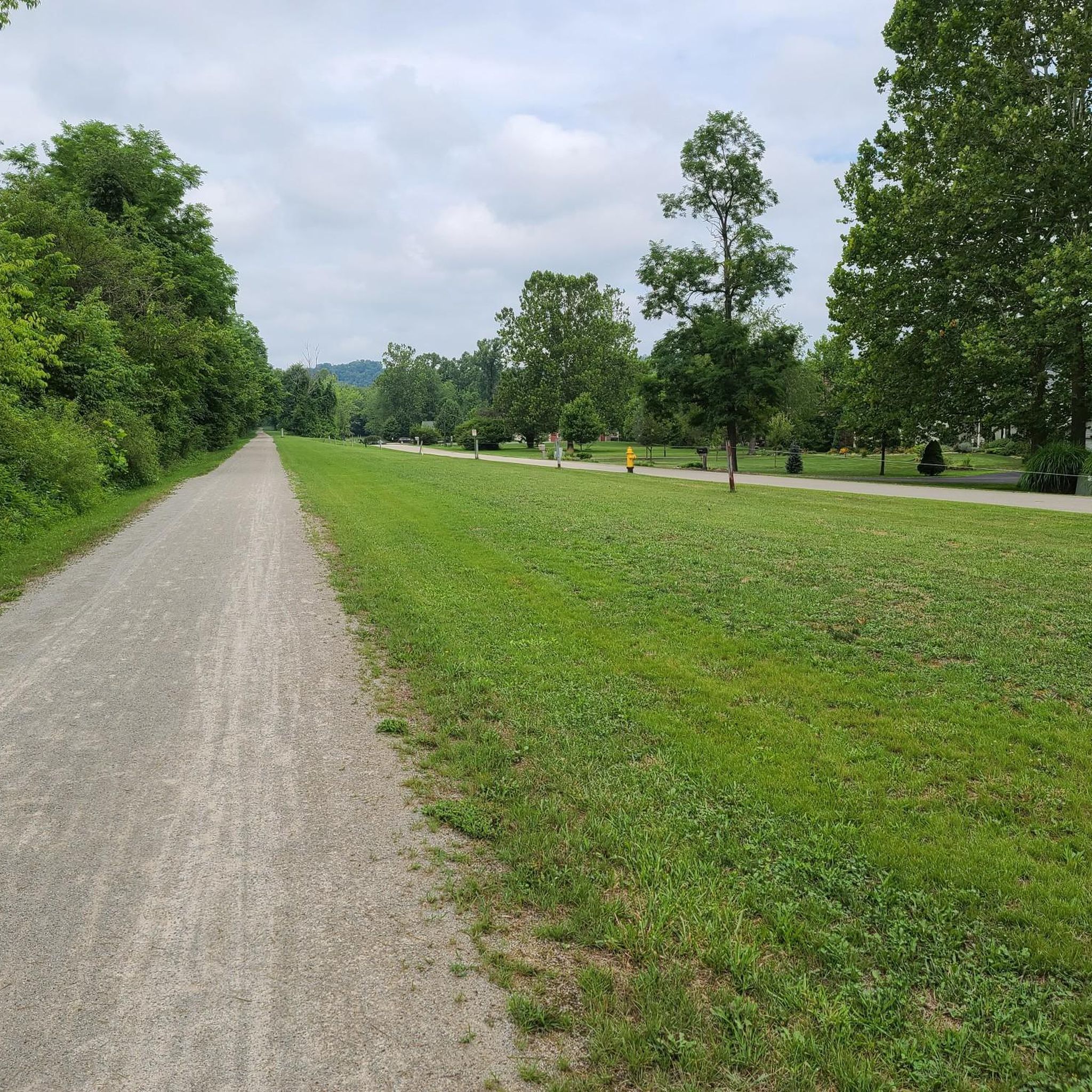
This easy mountain biking route on the Great Allegheny Passage offers a gentle ride through continuously changing scenery. You'll follow rivers, pass through rural forests, and enjoy picturesque waterside views, encountering fascinating passages through tunnels and over impressive viaducts. The trail covers 4.1 miles (6.6 km) with a minimal elevation gain of 47 feet (14 metres), making it perfect for a quick 21-minute ride. Its gentle grade, built on former railroad beds, provides an ideal introduction for beginner mountain bikers.
When planning your visit, you'll find various parking access points conveniently located along the Great Allegheny Passage. Be aware that the Big Savage Tunnel, a notable feature on the wider GAP trail, typically closes during winter months, so check conditions if you plan to ride then. If you are considering a longer trip, remember that many trail towns along the route offer amenities and services. This section is a great starting point for exploring the broader trail network.
The Great Allegheny Passage is renowned for its unique history, having been constructed on former railroad beds. This design ensures a consistently gentle grade, making it accessible for a wide range of abilities and ideal for leisurely mountain biking. The trail is part of a much larger network, connecting Pittsburgh, Pennsylvania, to Cumberland, Maryland, and eventually to Washington D.C. via the C&O Canal Towpath. This particular segment offers a taste of the longer journey, showcasing the diverse landscapes and engineering marvels of the region.
5.35km
00:17
10m
60m
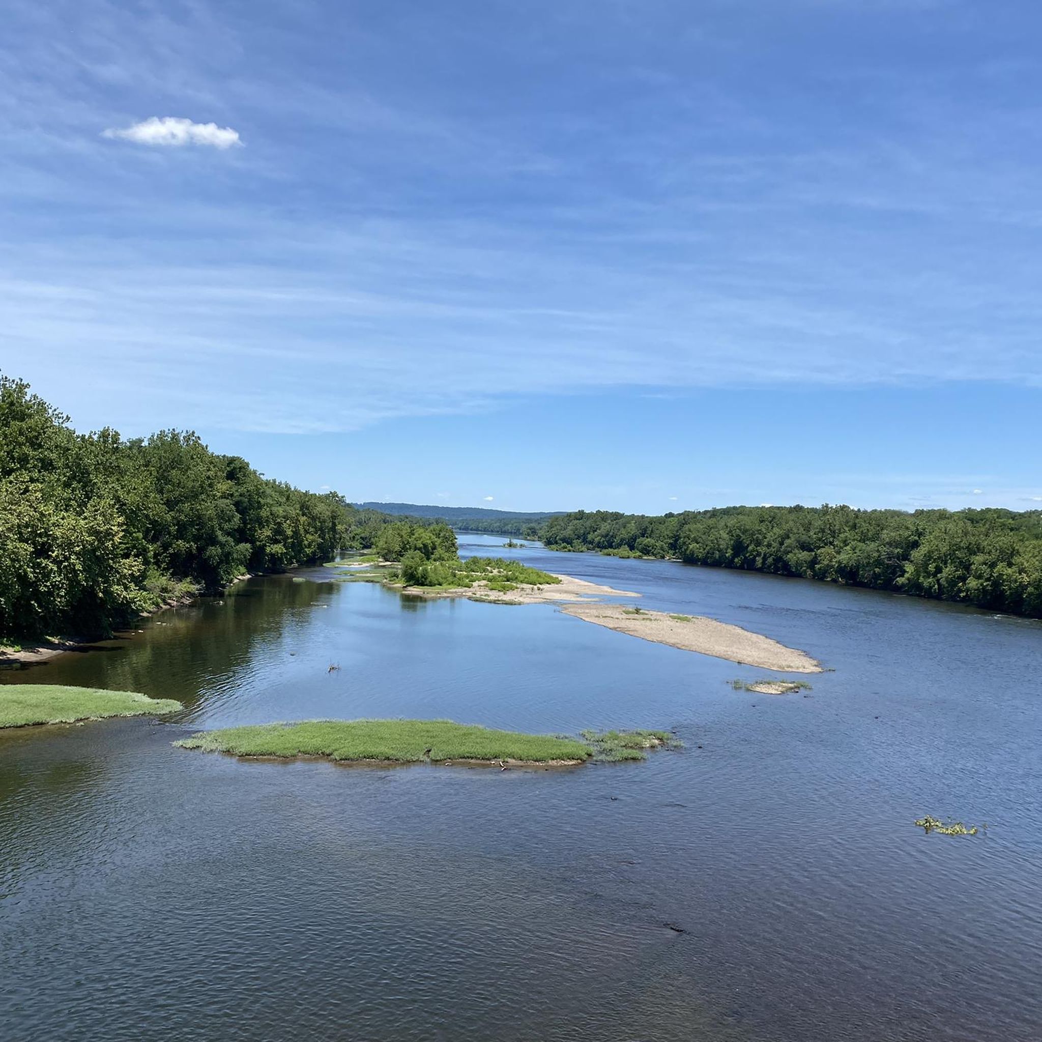
Embark on an easy mountain biking journey along the Enola Low Grade, stretching 3.3 miles (5.4 km) from Martic Forge to Safe Harbor. This route offers a gentle ride with only 48 feet (15 metres) of elevation gain, making it perfect for a quick 17-minute outing. You will experience diverse scenery, from quiet, tree-lined paths to expansive farmlands, all while enjoying views along the Susquehanna River. The highlight is undoubtedly the Safe Harbor Trestle Bridge, providing panoramic vistas over the Conestoga River as it meets the Susquehanna.
Planning your visit to the Enola Low Grade is straightforward, with convenient parking available at both ends of the trail. You can start your ride near Martic Forge, with parking accessible off Red Hill Road, or begin in Safe Harbor. This shared-use path is welcoming to everyone, so you will find it suitable for families, walkers, joggers, and even leashed dogs. Consider visiting during daylight hours to fully appreciate the river views and natural surroundings.
The Enola Low Grade trail follows a historic railway corridor, offering a unique blend of natural beauty and industrial heritage. This particular section provides a glimpse into the region's past while showcasing the impressive scale of the Susquehanna River. The trail's flat grade and well-maintained surface make it an accessible option for many, allowing you to focus on the scenic beauty and the peaceful atmosphere of the river valley. It stands out as a notable, easy-going route in the area.

4.5
(4)
138
riders
28.2km
02:32
390m
390m
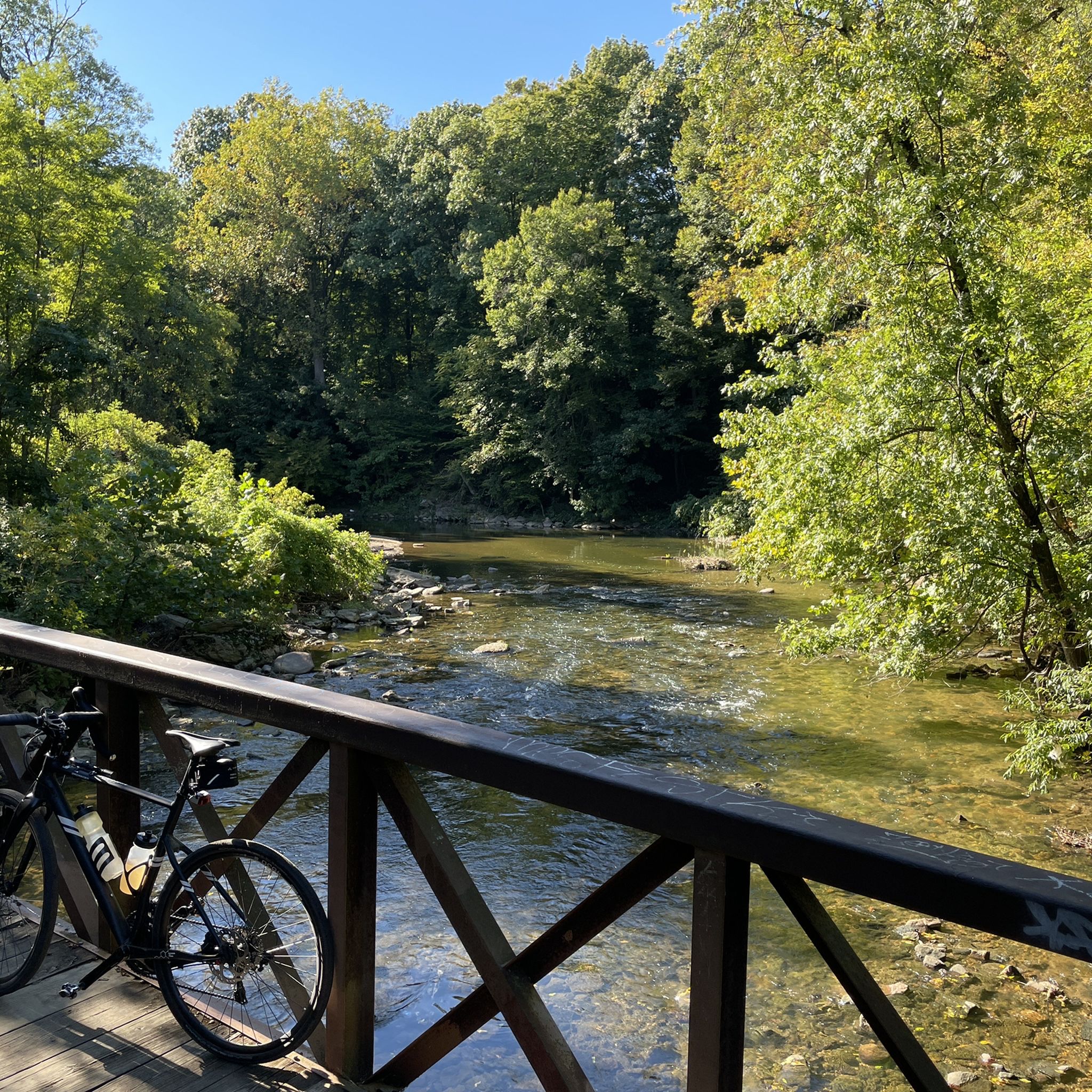
The Wissahickon Orange and Yellow Trail Loop offers a rugged mountain biking adventure through varied terrain, from natural singletrack to challenging rock gardens and roots. You'll navigate short, steep climbs and technical descents, often riding alongside the scenic Wissahickon Creek, with highlights like the Houston Meadow and the unique Urban Wilderness: Walnut Lane Bridge Underpass. This difficult 17.5-mile (28.2 km) route, with its 1265 feet (385 metres) of elevation gain, is a true test for intermediate to advanced riders, typically taking around 2 hours and 31 minutes to complete.
Planning your ride means being ready to share the path; Wissahickon Valley Park is a busy spot, so you'll encounter hikers, dog walkers, and equestrians. Always practice good trail etiquette and yield to others. While specific parking isn't detailed, arriving early is always a smart move to secure a spot and enjoy the trails during quieter times.
This loop is renowned for giving riders a comprehensive taste of what the park has to offer in terms of mountain biking. Its diverse terrain and technical elements, including log-overs and even some jumps, keep the experience engaging from start to finish. It's a popular destination for those seeking a rewarding challenge within the Philadelphia area.
4.2
(26)
119
riders
13.5km
01:09
100m
100m
The Jay Walk, South Park, Cold Spot, and Hammer Trail offers a truly immersive mountain biking experience through the dense woods of Nockamixon State Park. You'll navigate varied singletrack, from fast, flowy sections with berms and tight trees along Lake Nockamixon to more technical challenges with rocky obstacles. Keep an eye out for the charming gnome garden after a short climb and unique wood carvings along the Hammer Trail, all while enjoying the shade of thick cedars and tall pines.
This difficult 8.4-mile (13.5 km) route, with 331 feet (101 metres) of elevation gain, typically takes around 1 hour and 9 minutes to complete. Parking is available within Nockamixon State Park, which serves as the main access point. Be prepared for potentially muddy sections, especially after rain, so checking trail conditions beforehand is a good idea to ensure the best ride.
These popular trails are known for their well-maintained nature and offer a diverse challenge for mountain bikers in Bucks County, Pennsylvania. While the overall route is rated difficult, individual sections like Jay Walk and Cold Spot are blue-rated (intermediate), providing a mix of experiences. The Hammer Trail, with its flow, berms, rollers, and tabletops, adds an extra layer of fun for those seeking jumps and drops.
5.0
(1)
45
riders
9.91km
00:54
150m
150m
The Brian's, Broken Arrow, and Half Pipe Loop offers a delightful mountain biking experience within the Trexler Nature Preserve, featuring a mix of flowing singletrack and fun features. You'll navigate through sections with long, straight downhill runs, switchbacks, and rollers, especially on the Broken Arrow segment. This easy 6.2-mile (9.9 km) route, with its 507 feet (154 metres) of elevation gain, is a fantastic way to spend about 53 minutes enjoying the natural surroundings.
Planning your ride is straightforward; the Trexler Nature Preserve typically has parking available at various access points. It's always a good idea to check the preserve's official website for current conditions or any specific mountain biking regulations. This trail system is known for draining well, making it a reliable option even after a bit of rain, and it's generally best enjoyed during daylight hours.
This particular loop is a well-regarded mountain bike-only route that combines Brian's Trail, Broken Arrow Trail, and Half-Pipe 1, creating a cohesive and enjoyable ride. It's considered a "sweet little lap" for those familiar with the Trexler Nature Preserve's offerings, providing an accessible yet engaging ride for mountain bikers.
4.8
(4)
36
riders
19.4km
01:36
180m
180m
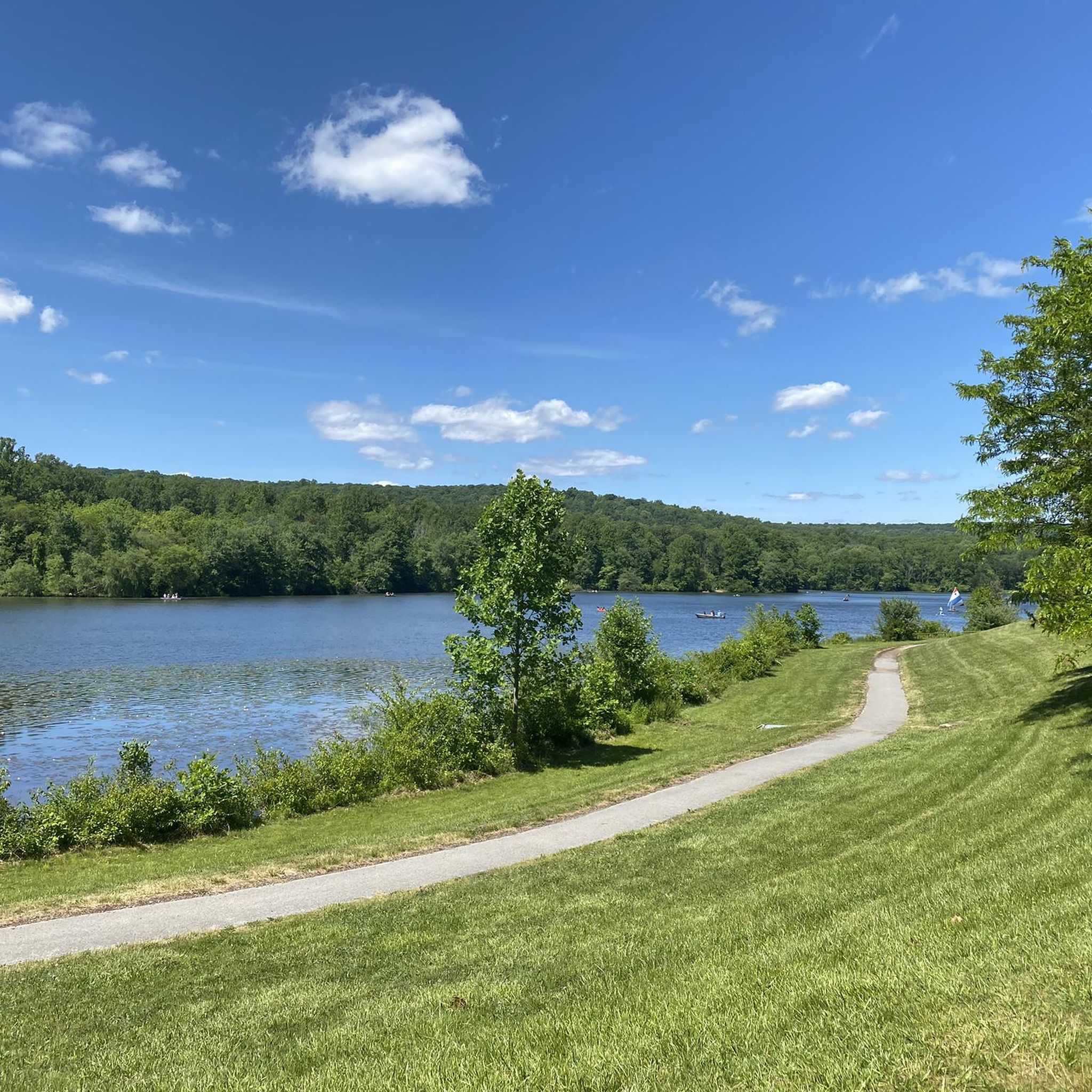
Embark on an easy mountain biking adventure on the Blue, Perkiomen, and Red Trail Loop, covering 12.1 miles (19.4 km) with a gentle elevation gain of 597 feet (182 metres). This route, estimated to take about 1 hour and 35 minutes, offers a scenic ride through Green Lane Park. As you pedal, you'll often find yourself close to the water, enjoying beautiful views of the Green Lane Reservoir. The trail winds through a diverse landscape of upland forests, open meadows, and wetlands, providing a varied and engaging backdrop for your ride. Expect a mix of terrain, from smoother paths on the Red Trail to sections with more roots and rocks, particularly along the Blue Trail.
Accessing the trailhead is straightforward, with convenient parking available directly at Green Lane Park. While the full loop is rated easy, be aware that some sections within the larger Green Lane Park trail system can present more challenging terrain, including steep and tricky parts. The route generally offers clear navigation, but it's always wise to be prepared for varied conditions you might encounter on the trails. Plan your visit during daylight hours to fully appreciate the park's natural beauty.
This loop provides a fantastic opportunity to explore the extensive Green Lane Park, known for its picturesque setting and diverse ecosystems. The park's blend of upland forests, meadows, and wetlands creates a rich habitat for local wildlife, making it a great spot for nature observation. The trail system, including the Blue, Perkiomen, and Red Trails, is a highlight for mountain bikers seeking an accessible yet engaging ride within the region.
4.2
(17)
31
riders
12.6km
01:04
100m
100m
If you're looking for a pleasant and accessible mountain biking experience in Chester County, Pennsylvania, the Yellow Trail is a solid choice. This route offers a relaxed ride, winding near the tranquil Marsh Creek Reservoir, providing a scenic backdrop for your outing. The terrain is generally smooth and forgiving, making it an excellent option for those new to mountain biking or families with younger riders. You'll find the ride to be a refreshing escape into nature.
Planning your visit to the Yellow Trail is straightforward, though specific parking details are not available. It's always wise to consult local park resources for the most current information on access and facilities. As with many popular trails, arriving earlier in the day, especially on weekends, can help ensure a smoother start to your adventure. The trail is generally open year-round, but checking for any seasonal advisories is recommended.
This easy 7.8-mile (12.6 km) mountain biking loop features a modest 340 feet (104 metres) of elevation gain, typically taking about 1 hour and 4 minutes to complete. It's known for its gentle gradients and the option to explore a "Bonus Loop" for a little extra mileage. The Yellow Trail is a great example of family-friendly mountain bike trails, providing a low-stress way to enjoy the outdoors and get some exercise.
29
riders
18.4km
01:40
280m
280m
The Tussey Mountain Trail Coathanger Loop is a quintessential mountain biking adventure in Rothrock State Forest, renowned for its diverse and demanding terrain. You'll navigate through extensive rock gardens and challenging boulder sections, interspersed with exhilarating flowy singletrack, including the updated Kettle Trail. The route offers excellent scenic beauty, particularly along the ridge, where you can enjoy panoramic views of the surrounding forest, though be aware that the "burn zone" can be quite exposed.
This difficult 11.5-mile (18.4 km) loop, with 903 feet (275 metres) of elevation gain, typically takes around 1 hour and 40 minutes to complete. It's designed for experienced riders, so come prepared for technical demands and sustained effort. Access points are generally well-known within Rothrock State Forest, and it's always a good idea to check local conditions, especially regarding sun exposure on the ridge, before you head out.
What makes this trail truly stand out is its status as a classic for advanced mountain bike trails in the Tussey Mountain area, actively maintained by local groups like the Nittany Mountain Biking Association. It's a popular choice for local events and even features a quirky "Beer Tap Mailbox" landmark. This trail offers a robust challenge and a rewarding experience for those seeking top-rated mountain biking trails near State College, PA.
24
riders
14.2km
01:02
80m
80m
The Core Creek Trail offers a network of singletrack mountain biking routes around Lake Luxembourg, providing a scenic and engaging ride through dense woodlands. You'll encounter a mix of terrain, from rooty sections and log overs to trail bridges and stream crossings, all while enjoying views of the lake. It's a moderate 8.8-mile (14.2 km) ride with 251 feet (77 metres) of elevation gain, typically taking about 1 hour and 1 minute to complete.
This trail system is largely considered beginner-friendly to intermediate, with most significant obstacles featuring bypasses, making it accessible for less experienced riders. However, it still offers enough features like berms, drops, and rock gardens to keep intermediate riders engaged. Be aware that the trails can be wet and slippery after rain, particularly in rooted areas.
Core Creek Trail is notable for its well-maintained, interconnected network, allowing you to customize your route. There's even a dedicated beginner loop around a cornfield for new riders. The trails are multi-use, so you'll be sharing them with hikers, and a bike repair stand is available at the Duchess parking lot for any mid-ride adjustments.
4.0
(1)
24
riders
11.4km
00:55
120m
120m
This mountain biking route offers a unique blend of experiences, starting with the tranquil, paved East Branch Brandywine Trail that winds through picturesque meadows and shaded woodlands alongside the East Branch Brandywine Creek. You'll then transition into the Harmony Hill Nature Area, where the terrain shifts dramatically to natural singletrack, featuring roots, rocks, and twisty sections. Expect significant elevation changes as you navigate descents to the creek bottom and climbs back up Harmony Hill, providing a diverse and engaging ride.
To plan your visit, access the trail system via the paved East Branch Brandywine Trail, which is part of the broader Brandywine-Struble Regional Recreation Corridor. Parking is available at various points along the paved trail, offering convenient starting locations. The route is rated easy overall, covering 7.1 miles (11.4 km) with 396 feet (121 metres) of elevation gain, and typically takes about 54 minutes to complete, making it a great option for a quick, varied ride.
The East Branch Brandywine Trail sits on the original rail bed of the Waynesburg Rail Line, offering a glimpse into local history as you ride. The Harmony Hill Nature Area, with its approximately 7 miles of natural surface trails, provides a more rugged mountain biking experience compared to the paved path, making it a popular choice for those seeking an intermediate challenge with natural obstacles. This interconnected system allows for varied ride lengths and difficulty levels, catering to different preferences.
Get access to more routes and recommendations from other explorers.
Already have an account?
Our route recommendations are based on thousands of hikes, rides, and runs completed by other people on komoot.
Start today with a free account
Your next adventure awaits.
Popular around Pennsylvania


Other adventures in Pennsylvania


Tips from the Community

This is probably the best known trail in Rothrock, and definitely one of the best ridge rides you'll find. Just about anyone should be able to handle this, though less experienced riders may need to walk through a couple of technical sections and rock gardens.
0
0

Bonus Loop, also called Yellow Trail, is a multi-use trail open to hikers and mountain bikers. The trail follows the Carpenter's Cove shoreline. Ride counter-clockwise for a fun time with good flow, and take it clockwise for more of a physical challenge. This trail also connects to other trails in Marsh Creek State Park.
0
0
Marsh Creek Reservoir, a 535-acre man-made lake, was created by damming Marsh Creek. The lake addresses issues of flooding and water shortages and provides recreational opportunities. Marsh Creek State Park sits to the east, and Lyndell to the west. The park is open daily from sunrise to sunset, and the reservoir is a great fishing spot for warm water species, including largemouth bass, channel catfish, black crappie, and panfish.
0
0
Smeagol, also listed as the ALT Trail, is a green-rated trail that follows the East Branch of the Brandywine Creek through some wooded areas. This trail can get busier but leads bikers to the Harmony Hill Nature Area, which has a great variety of green, blue, and black trails, something for everyone.
0
0
Harmony Hill Covered Bridge can be seen from the East Brandywine Trail, where it intersects Harmony Hill Road. It sits .1 miles southwest of this junction. This wooden-covered bridge was built in 1872 and listed on the National Register of Historic Places in 1980.
0
0

Lake Luxembourg, a 175-acre reservoir in Core Creek Park, is known for its fishing, boating, and wildlife habitats.
0
0
Core Creek Park features mountain biking trails that wind through lush forests and around Lake Luxembourg, offering varied terrains and picturesque views unique to this area.
0
0

If you're enjoying the beautiful and fun trails in the area and suddenly come across this point, you might think you're experiencing some hallucination. But no, what you have in front of you is a real beer tap. The downside is that it doesn't work...
2
0
Frequently Asked Questions
How many mountain bike trails are available in Pennsylvania?
Pennsylvania offers a vast network of mountain biking opportunities, with over 350 routes documented on komoot. These range from easy, family-friendly paths to challenging singletrack adventures.
What are the different difficulty levels for mountain biking in Pennsylvania?
You'll find a wide range of difficulties. There are over 130 easy routes, more than 140 moderate trails, and nearly 80 difficult paths for experienced riders. This diversity ensures options for all skill levels, from beginners to advanced mountain bikers.
What kind of terrain can I expect on Pennsylvania's mountain bike trails?
Pennsylvania's trails are known for their diverse terrain. You can expect challenging climbs, extended downhills, and technical sections often featuring rocky surfaces, roots, and singletrack. The Appalachian Mountains in the central and western regions contribute to this rugged character, while rail-to-trail conversions offer flatter, more accessible paths.
Are there mountain bike trails suitable for families or beginners?
Yes, Pennsylvania has many trails suitable for families and beginners. Look for routes marked as 'easy' on komoot. Many rail-to-trail conversions, often found along rivers, provide relatively flat and accessible paths. For example, the Enola Low Grade: Martic Forge to Safe Harbor offers an easy, scenic ride.
Where can I find challenging mountain bike trails in Pennsylvania?
For advanced riders seeking a challenge, Pennsylvania's state forests and mountain regions offer technical singletrack. Consider routes like the Wissahickon Orange and Yellow Trail Loop, known for its short, steep climbs, rocks, and roots. The Detweiler Run Natural Area loop also provides an extensive and difficult challenge through varied forest terrain.
What is the best season for mountain biking in Pennsylvania?
The best seasons for mountain biking in Pennsylvania are generally spring, summer, and fall. Spring offers lush greenery, while fall provides stunning foliage. Summer is popular, but be prepared for warmer temperatures and potential humidity. Some trails may be accessible in winter, but conditions can vary greatly with snow and ice.
Are there mountain bike trails that offer scenic views?
Absolutely. Pennsylvania's diverse landscapes provide numerous scenic routes. The Pocono Mountains in the east offer beautiful lakes, valleys, and scenic vistas. Trails in the Allegheny National Forest, such as the Trails at Jakes Rocks, provide panoramic views of the Allegheny Reservoir. Many trails also wind through dense forests, offering a peaceful, natural setting.
Can I find loop trails for mountain biking in Pennsylvania?
Yes, many mountain bike trails in Pennsylvania are designed as loops, offering a convenient way to start and end your ride at the same point. Examples include the Wissahickon Orange and Yellow Trail Loop and the Blue, Perkiomen, and Red Trail Loop, which takes you through forested parks.
Are there any waterfalls along mountain bike trails in Pennsylvania?
Yes, Pennsylvania is home to beautiful waterfalls, and some can be found near or along mountain biking areas. For example, Ricketts Glen State Park is famous for its numerous waterfalls. While not directly on a mountain bike trail, you can explore highlights like Red Waterfall or Buttermilk Falls as nearby attractions.
What other interesting places can I explore near the mountain bike trails?
Beyond the trails, Pennsylvania offers a variety of attractions. You can find historical sites, unique geological formations, and scenic viewpoints. Consider visiting landmarks like the Hot Metal Bridge or the Bethlehem Steel Plant for a glimpse into the region's industrial heritage. The Pennsylvania Grand Canyon (Pine Creek Gorge) also offers impressive vistas.
What do other mountain bikers enjoy most about mountain biking in Pennsylvania?
The komoot community highly rates mountain biking in Pennsylvania, with an average score of 4.5 stars from over 200 reviews. Riders often praise the diverse terrain, from challenging singletrack to flowing trails, and the immersive experience of riding through expansive state forests. The variety of routes catering to all skill levels is also frequently highlighted.
Are there mountain biking options near major cities like Philadelphia or Pittsburgh?
Yes, you can find excellent mountain biking opportunities close to Pennsylvania's major cities. Wissahickon Valley Park in Philadelphia offers a challenging singletrack loop. Near Pittsburgh, North Park features over 40 miles of cross-country style trails, making it a popular spot for local riders.
Most popular routes in Pennsylvania
Most popular attractions in Pennsylvania

Get inspired with the komoot mobile app


Didn’t find what you were looking for?
Check out more MTB trails throughout Pennsylvania below and find the perfect route in your destination.
Explore more
Browse the best MTB trails in other regions.
