The best running trails around Parco Naturale Regionale dei Monti Simbruini
4.7
(3)
581
runners
42
runs
Jogging routes around Parco Naturale Regionale dei Monti Simbruini traverse a diverse mountainous landscape within the Apennines. The region is characterized by peaks exceeding 2,000 meters, extensive beech woodlands, and karstic plateaus. Rivers like the Aniene and Simbrivio originate here, contributing to lush environments and a network of trails. This protected area offers varied terrain for running, from shaded forest paths to more open mountain routes.
Best jogging routes around Parco Naturale Regionale dei Monti Simbruini
- The most popular jogging…
Last updated: August 1, 2026
2
runners
13.6km
01:51
410m
410m
Hard run. Very good fitness required. Mostly paved surfaces. Suitable for all skill levels.
84
runners
13.9km
01:56
510m
510m
Hard run. Very good fitness required. Sure-footedness, sturdy shoes and alpine experience required.

Sign up for free
62
runners
47.8km
07:30
2,460m
2,460m
Hard run. Very good fitness required. Sure-footedness, sturdy shoes and alpine experience required.
50
runners
9.24km
01:06
240m
240m
Moderate run. Good fitness required. Mostly paved surfaces. Suitable for all skill levels.
50
runners
Moderate run. Good fitness required. Mostly paved surfaces. Suitable for all skill levels.
Get access to more routes and recommendations from other explorers.
Sign up for free
Already have an account?
Our route recommendations are based on thousands of hikes, rides, and runs completed by other people on komoot.
Start today with a free account
Your next adventure awaits.
Login or Signup
Popular around Parco Naturale Regionale dei Monti Simbruini
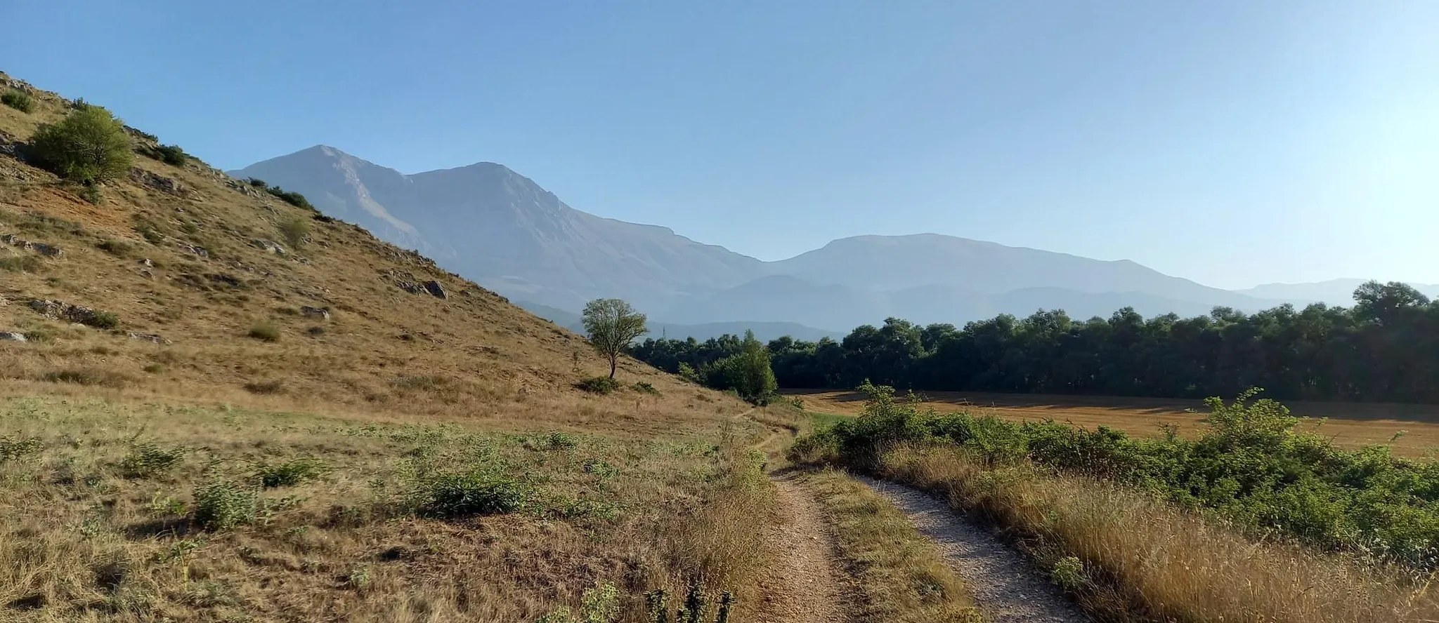
Hike from Rome to the Adriatic Sea – Way of St. Thomas
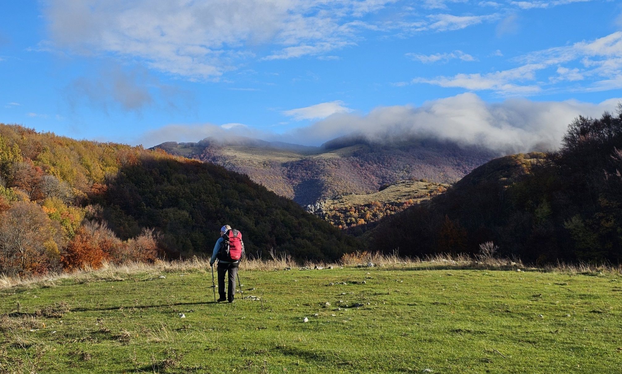
A colourful journey – hike in the Simbruini Mountains
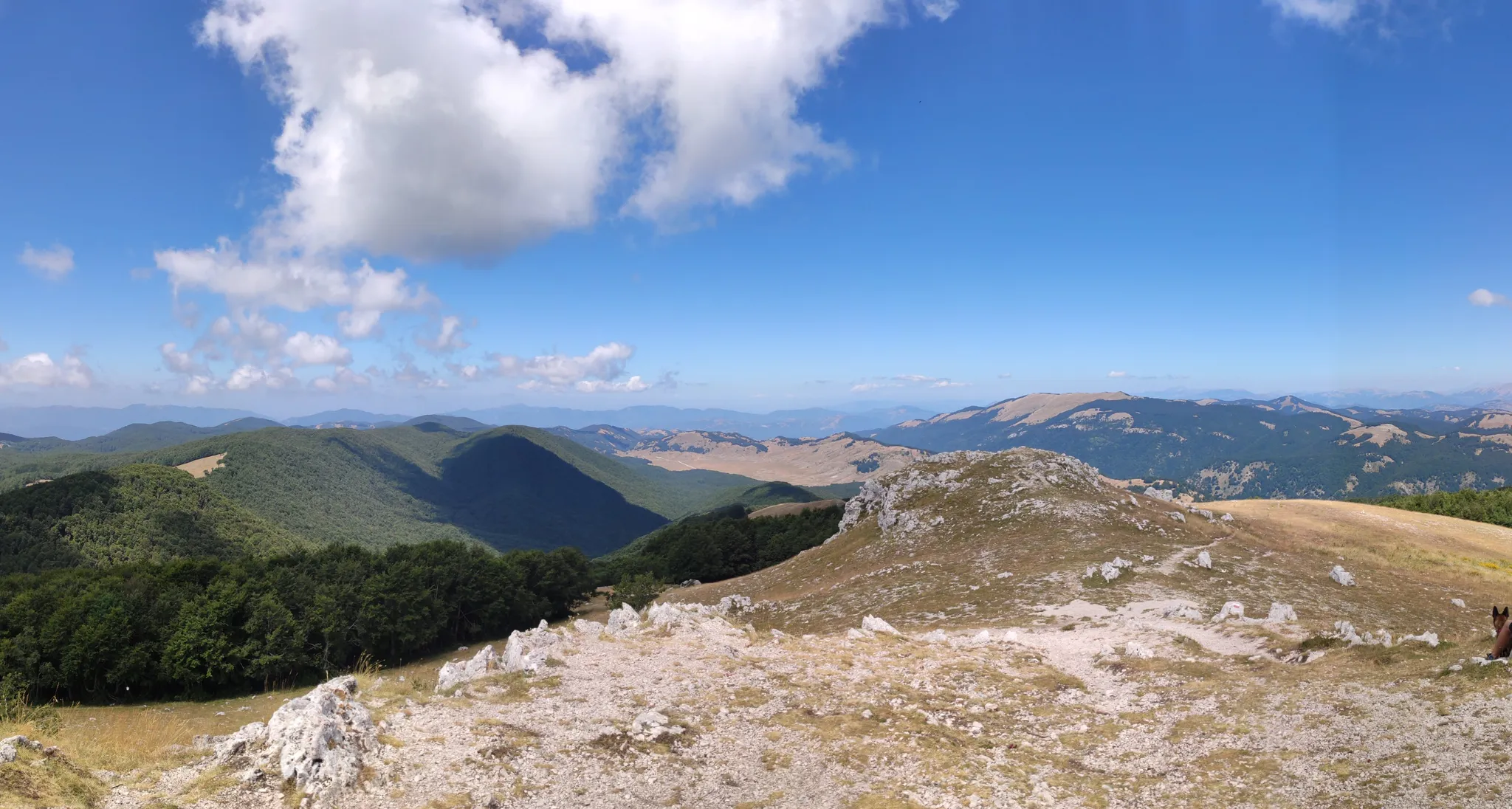
Cammino Naturale dei Parchi – Part 2 Livata to Corvaro
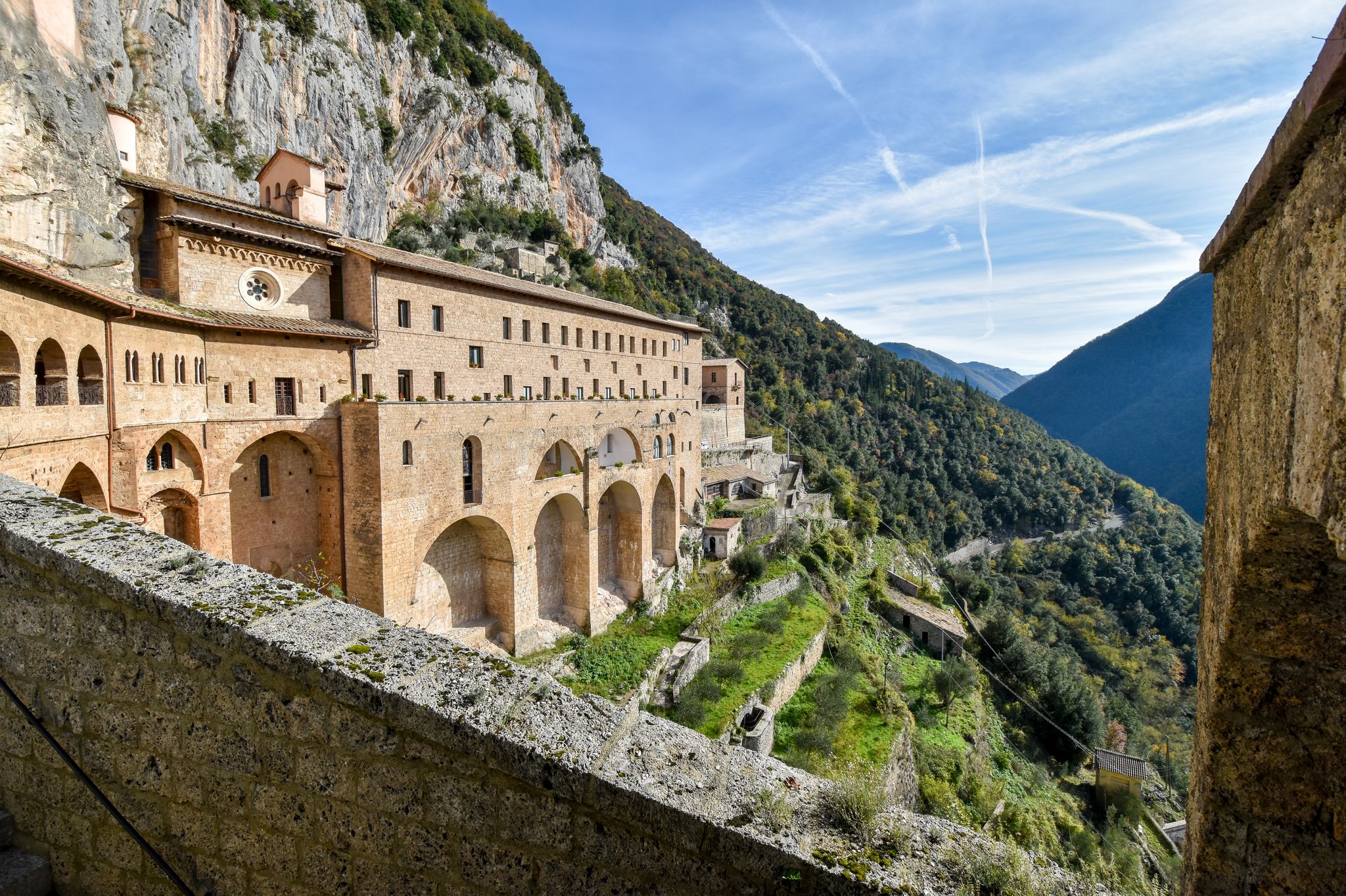
In the Footsteps of Saint Benedict - The Benedict Way
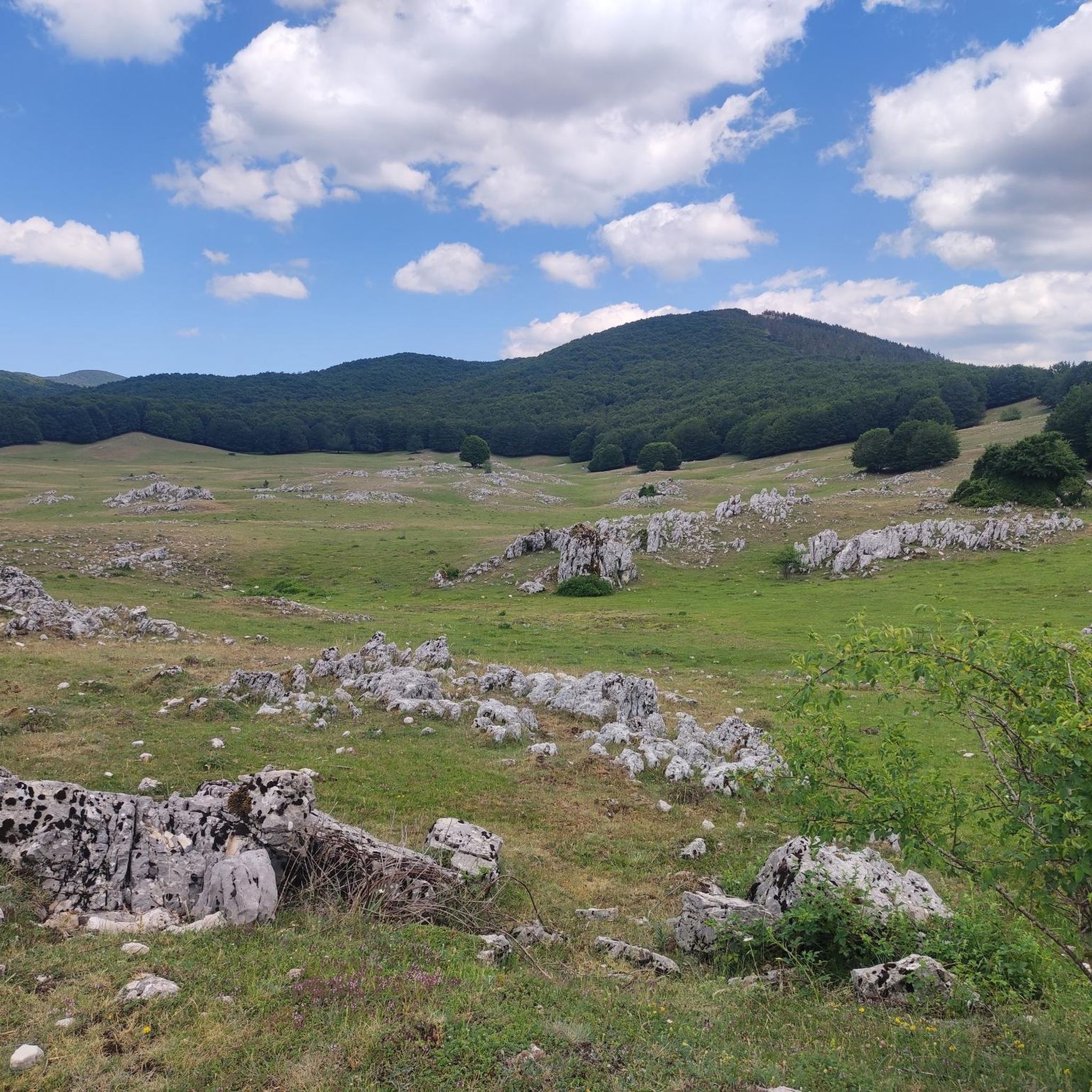
Cycling around Parco Naturale Regionale dei Monti Simbruini
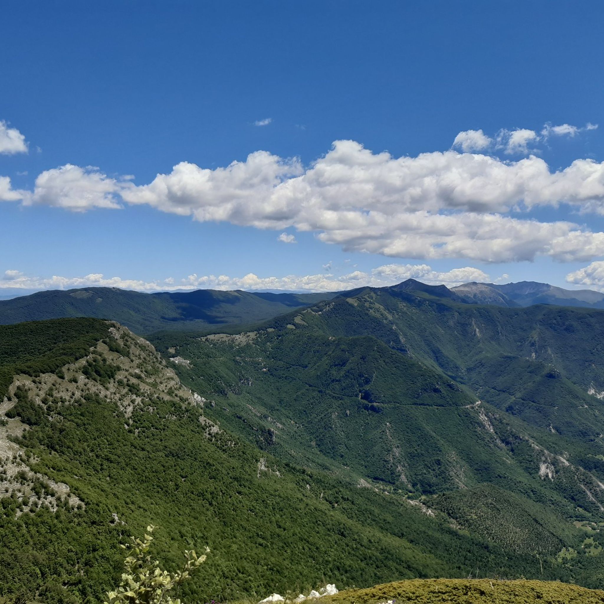
Hiking around Parco Naturale Regionale dei Monti Simbruini
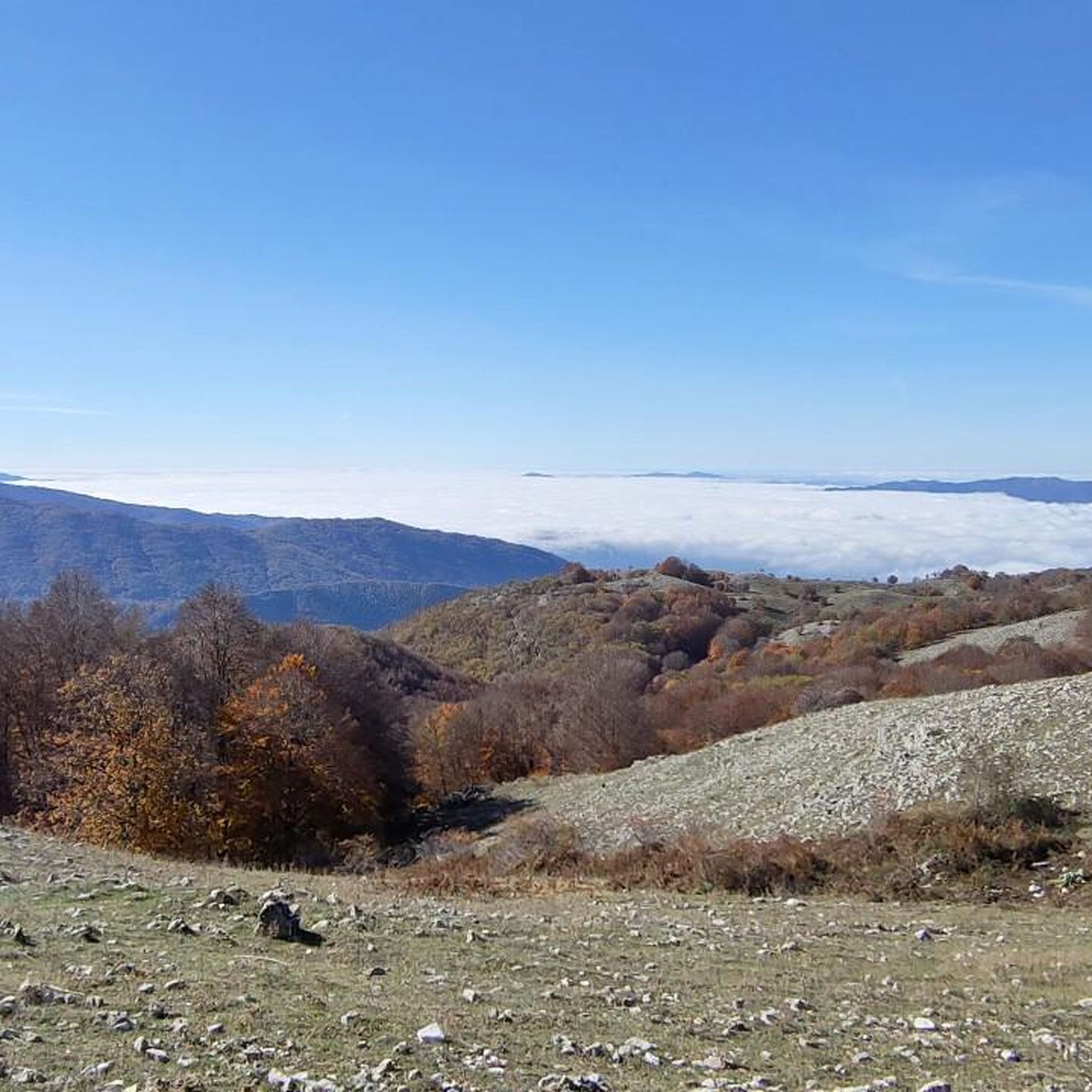
Road Cycling Routes around Parco Naturale Regionale dei Monti Simbruini
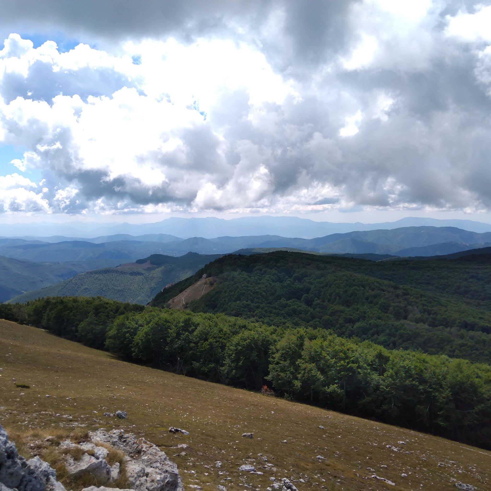
MTB Trails around Parco Naturale Regionale dei Monti Simbruini

Gravel biking around Parco Naturale Regionale dei Monti Simbruini
Other adventures around Parco Naturale Regionale dei Monti Simbruini


Tips from the Community

Simple walk but with a wonderful view!!
0
0

Panoramic point at about 1750 meters above sea level, important crossroads for singletrack
0
0

A short detour to take on foot to admire a beautiful waterfall on the Aniene River
0
0

Very beautiful, but be careful with the loose gravel base.
0
0

Vallepietra is a small village nestled in the Simbrivio River valley. The view from the village is exceptional: the wooded peak of Mount Autore, the rocky walls of the Santissima Trinità sanctuary, and the narrow valley carved out by the river.
0
0

Hello everyone, I can only tell you that it was a lucky excursion for a great running event on all the paths of Campo dell'Osso up to Monte Autoro, a beautiful trial marathon with many participants. Just the day, cool and sunny, perfect day
0
0

At the end of the dirt road that starts from Campo Minnio you arrive at the panoramic point Le Vedute with a view of Monte Tarino, Monte Viglio and the Santissima Trinità
0
0

Magnificent area for traveling by bike but also for a single outing. Impressive nature, thanks to the presence of rivers. Nature expresses all its beauty. The waterfalls are music to the ears of those who know how to enjoy nature, where the flat water creates beaches to be experienced in complete relaxation.
0
0
Frequently Asked Questions
How many running routes are available in Parco Naturale Regionale dei Monti Simbruini?
The Parco Naturale Regionale dei Monti Simbruini features over 30 dedicated running routes. These trails cater to various fitness levels, offering diverse experiences across the park's mountainous terrain.
What kind of terrain can I expect on the jogging trails in Monti Simbruini?
You can expect a diverse range of terrain, from challenging mountainous paths with peaks exceeding 2,000 meters to shaded trails through vast beech woodlands and karstic plateaus. Many routes involve significant elevation changes, providing a rewarding experience for runners seeking varied landscapes.
Are there any easy or moderate running routes for beginners in the park?
While many routes are classified as difficult, there are some moderate options available. For instance, the Ascent to Monte Livata – Fondi di Jenne loop from Colle Cesone is a moderate 8.1 km (5 miles) route, offering a less strenuous experience while still enjoying the natural beauty.
What are some notable natural features or viewpoints I can see while running?
The park is rich in natural beauty. You can enjoy panoramic views from the Monte Autore Summit, or explore the vast grassland plateau of Prato di Camposecco. The region is also known for its extensive beech woodlands and karstic formations, offering scenic backdrops for your run.
Are there any circular running routes in Parco Naturale Regionale dei Monti Simbruini?
Yes, several routes are designed as loops, allowing you to start and finish in the same location. An example is the challenging Monte Autore Viewpoints – Monte Autore Summit loop from Farmacia, which covers 24.9 km (15.5 miles) and offers stunning vistas.
Can I bring my dog on the running trails?
The Parco Naturale Regionale dei Monti Simbruini is generally welcoming to dogs, but it's crucial to keep them on a leash, especially given the presence of diverse wildlife including deer, wild boars, and occasionally brown bears. Always check specific trail regulations before heading out.
What is the best time of year to go jogging in Monti Simbruini?
The park is beautiful year-round, but spring and autumn are particularly popular. Spring brings lush greenery and blooming flora, while autumn transforms the vast beech woodlands into breathtaking displays of color. Summer offers warm weather, and even winter provides opportunities for snowshoeing or skiing, with some trails potentially suitable for winter running depending on conditions.
Are there any long-distance running trails for advanced runners?
Absolutely. For experienced runners seeking a significant challenge, routes like Le Vedute – Passo Procoio loop from Farmacia offer a demanding 45.5 km (28.3 miles) journey with substantial elevation gain, traversing varied mountain terrain.
What do other runners enjoy most about jogging in Parco Naturale Regionale dei Monti Simbruini?
The area is highly rated by the komoot community, with an average score of 5.0 stars. Runners often praise the diverse mountainous landscape, the extensive beech woodlands, and the challenging yet rewarding nature of the trails. The opportunity to explore pristine nature and enjoy panoramic views is a common highlight.
Are there any waterfalls or water features along the running routes?
The region is known as a 'land of water,' with the Aniene and Simbrivio rivers originating here. You can find the Trevi Waterfalls in Lazio, which can be a scenic point of interest near some routes. The Cardellino Spring is another natural water feature to discover.
Is there parking available near the trailheads?
Yes, parking is generally available near the starting points of many routes, especially in proximity to towns or established access points. It's advisable to check specific route details or local signage for the most convenient parking options for your chosen trail.
Can I combine my run with exploring historical sites?
Definitely! The park is dotted with charming historical towns and cultural sites. While running, you might pass near areas that offer access to places like Subiaco, known for its Benedictine monasteries, or the picturesque town of Cervara di Roma, adding a cultural dimension to your outdoor activity.
Most popular routes around Parco Naturale Regionale dei Monti Simbruini
Most popular attractions around Parco Naturale Regionale dei Monti Simbruini

Get inspired with the komoot mobile app


Explore more
Browse the best Running Trails & Routes in other regions.
