The best hikes from bus stations around Parco Naturale Regionale dei Monti Simbruini
4.5
(2123)
8,586
hikers
18
hikes
Bus station hiking trails around Parco Naturale Regionale dei Monti Simbruini offer access to a diverse landscape in the central Apennines. The region is characterized by vast beech woodlands, unique karst plateaus, and prominent mountain peaks. Clear mountain springs feed the Aniene River, carving valleys and creating wetlands. This natural park provides a range of hiking opportunities, from gentle paths to challenging mountain ascents.
Best bus station hiking trails around Parco Naturale Regionale dei Monti Simbruini
- The most popular bus station hiking route is Ruins of Camerata Vecchia – Plain of the Simbruini Mountains loop from Camerata Nuova, a 9.1 miles (14.7 km) trail that takes 4 hours 42 minutes to complete. This moderate route explores historical ruins and open mountain plains.
- Another top favourite among local hikers is Fiumata Refuge – Filettino loop from Filettino, a moderate 7.9 miles (12.7 km) path. This route features a mix of forest trails and mountain views, leading to the Fiumata Refuge.
- Local hikers also love the Monte Viglio summit (2,156 m) – Prato Fonte della Moscosa loop from Filettino, a 13.9 miles (22.3 km) trail leading through high mountain terrain, often completed in about 7 hours 49 minutes.
- Hiking around Parco Naturale Regionale dei Monti Simbruini is defined by ancient beech forests, rugged karst landscapes, and panoramic mountain views. The network offers options for various ability levels, from easy walks to difficult summit climbs.
- The routes in Parco Naturale Regionale dei Monti Simbruini are highly rated by the komoot community with an average score of 4.5 stars from more than 1,900 reviews. More than 7,500 hikers have used komoot to explore Parco Naturale Regionale dei Monti Simbruini's varied terrain.
Last updated: July 27, 2026
4.7
(10)
55
hikers
Moderate hike. Good fitness required. Mostly accessible paths. Sure-footedness required.
5.0
(5)
20
hikers
13.3km
04:32
620m
620m
Moderate hike. Good fitness required. Mostly accessible paths. Sure-footedness required.

Sign up for free
4.4
(7)
32
hikers
13.2km
04:37
600m
600m
Moderate hike. Good fitness required. Mostly accessible paths. Sure-footedness required.
9
hikers
22.6km
07:58
1,160m
1,160m
Hard hike. Very good fitness required. Sure-footedness, sturdy shoes and alpine experience required.
5.0
(1)
4
hikers
21.2km
07:17
1,150m
1,150m
Hard hike. Very good fitness required. Easily-accessible paths. Suitable for all skill levels.
Get access to more routes and recommendations from other explorers.
Sign up for free
Already have an account?
Our route recommendations are based on thousands of hikes, rides, and runs completed by other people on komoot.
Start today with a free account
Your next adventure awaits.
Login or Signup
Popular around Parco Naturale Regionale dei Monti Simbruini
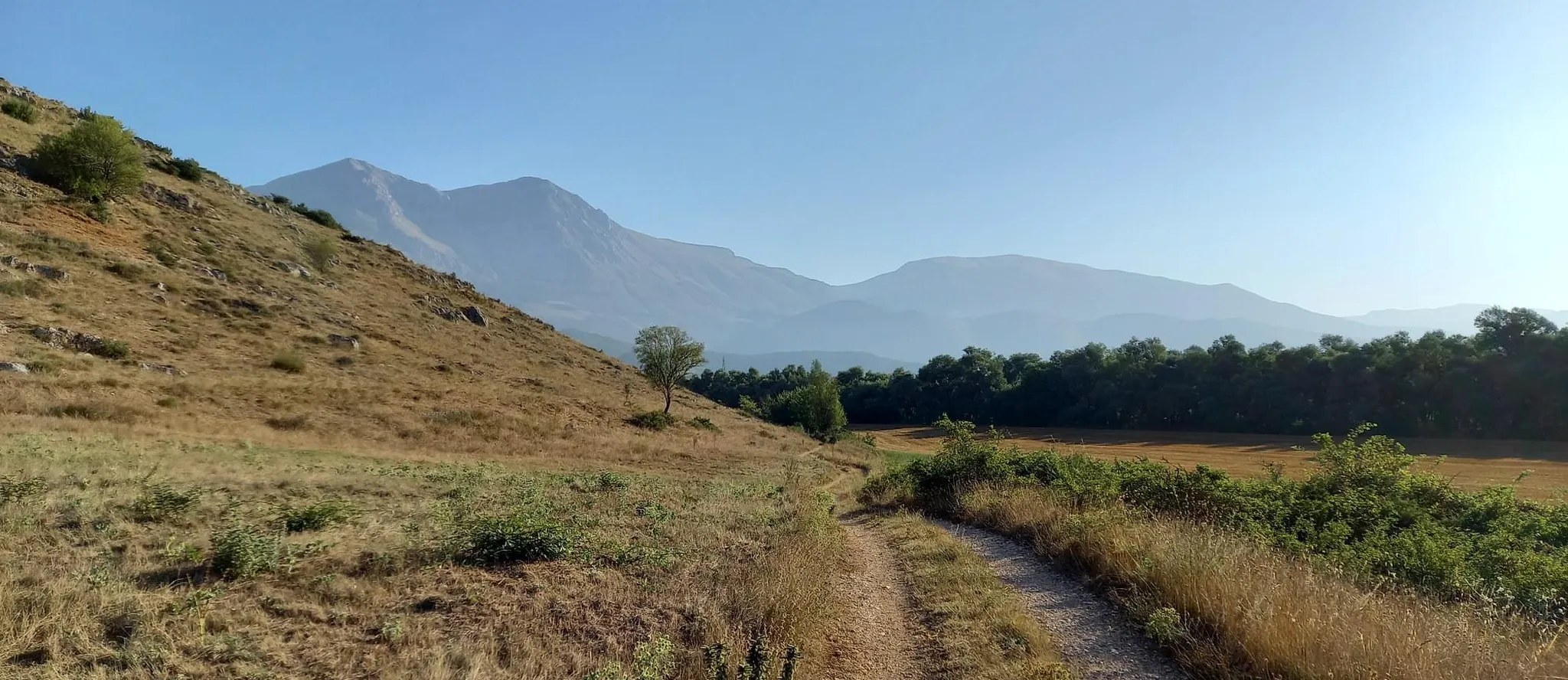
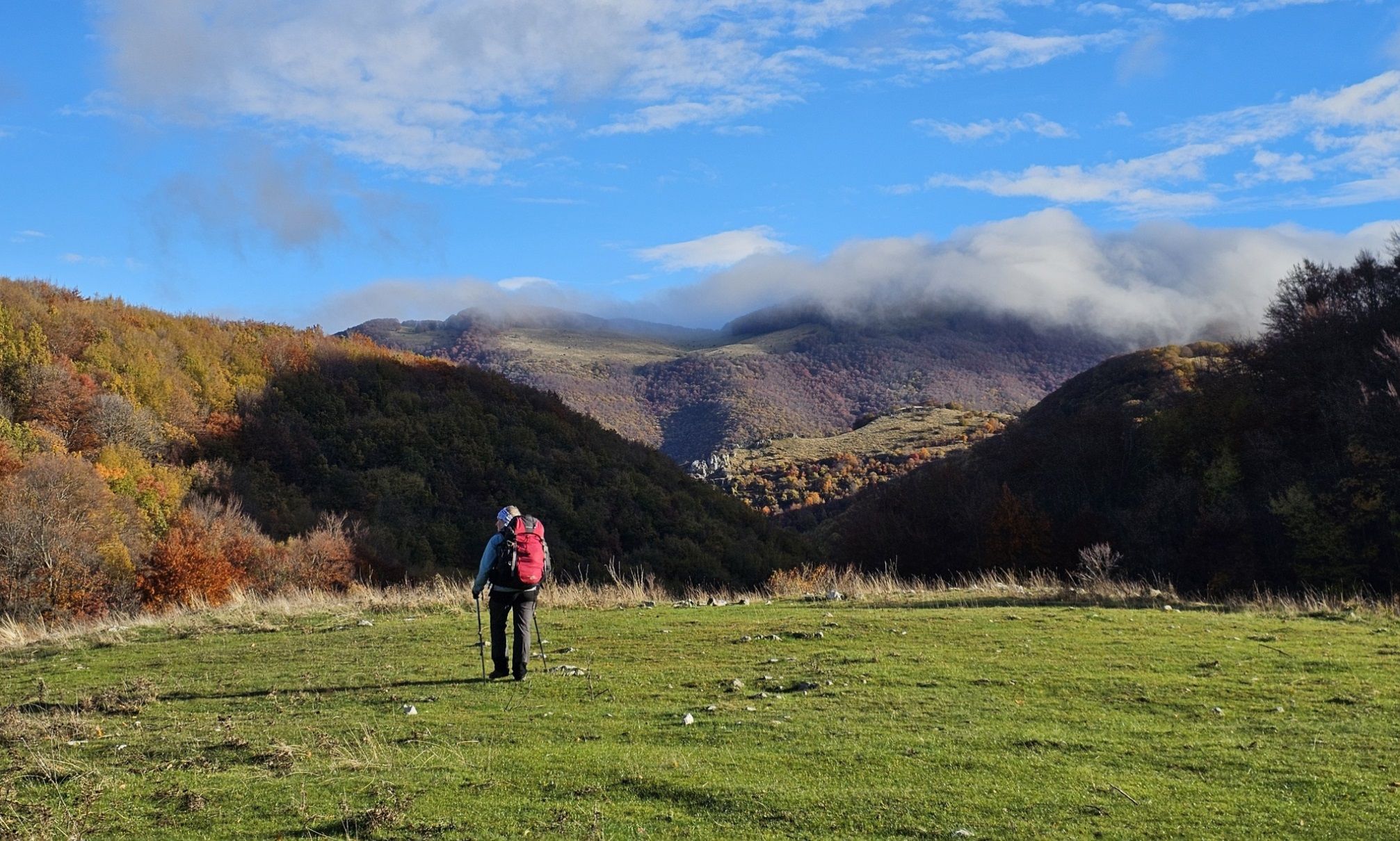
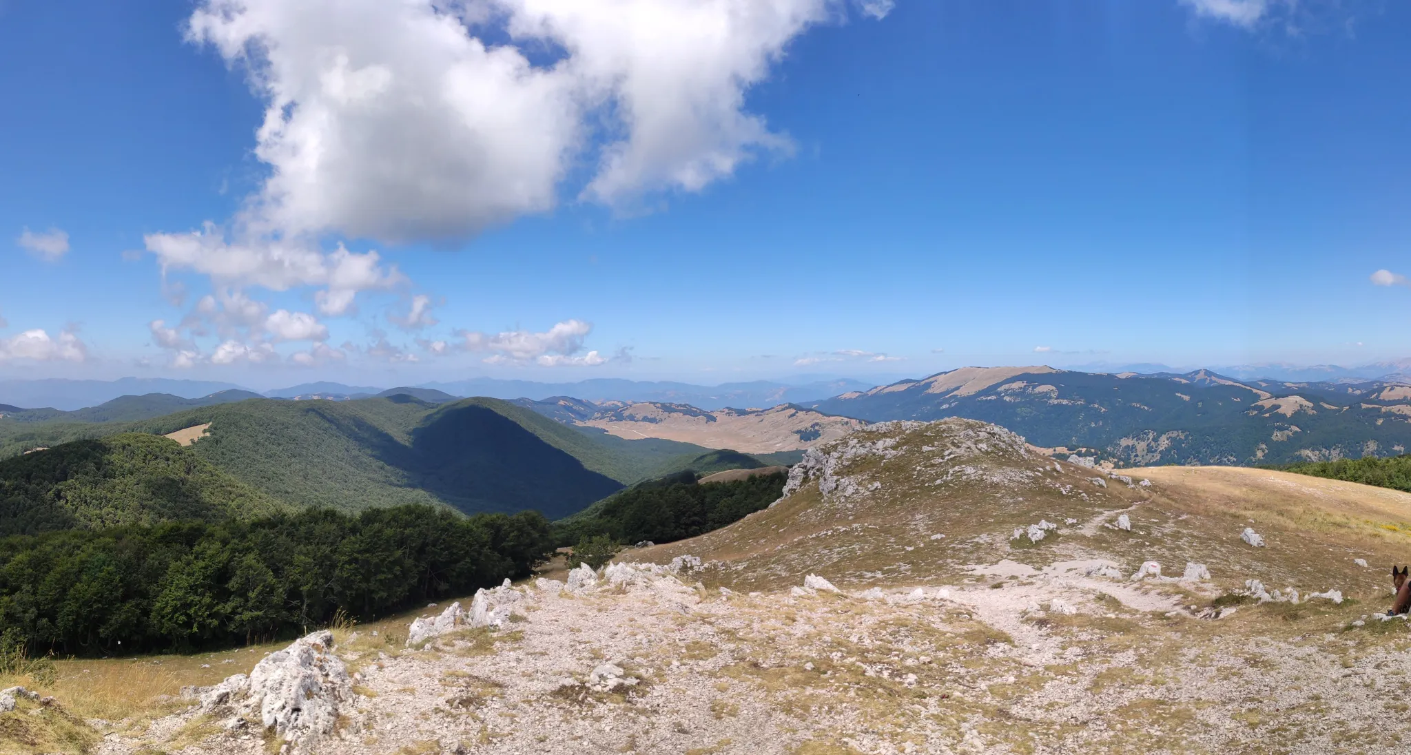
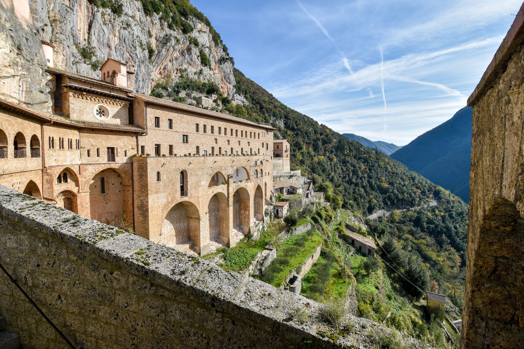
Other adventures around Parco Naturale Regionale dei Monti Simbruini


Tips from the Community


Hiking boots, fairly long and steep route.
0
0
Requires good training. No children, but the route can be bypassed by using the path under the gendarme to still reach the summit.
0
0

This place is worth a vote as you reach the top and if the weather permits you can see both the Tyrrhenian and Adriatic seas.
2
0

You cross the stream several times with a minimum of attention and waterproof shoes are not necessary (at least in spring).
0
0

These are the ruins of the ancient town of Camerata which was destroyed in 1881 by a fire. A very suggestive place with stone houses set and built into the rock. Among the ruins stands out a majestic arch carved into the rock dating back to the 16th century. It is worth taking a walk here from Camerata Nuova to take a step back in time.
4
0

Two large parking spaces on both sides of the road.
0
0

Filettino is located at an altitude of 1,075 meters and is considered the highest village in Lazio. Here the Aniene river, a tributary of the Tiber, is born.
2
0
Frequently Asked Questions
How many bus-accessible hiking trails are available in Parco Naturale Regionale dei Monti Simbruini?
There are 17 hiking trails in Parco Naturale Regionale dei Monti Simbruini that are accessible from bus stations. These routes offer a variety of experiences, from moderate walks to more challenging ascents.
What kind of landscapes can I expect on bus-accessible hikes in Monti Simbruini?
The bus-accessible hikes in Monti Simbruini traverse diverse landscapes, including vast beech woodlands, unique karst plateaus, and mountainous terrain. You can expect panoramic views of the Apennines, and the region is known for its abundant clear mountain springs and waterways.
Are there any circular routes accessible by bus in the park?
Yes, several circular routes are accessible by bus. For example, the Ruins of Camerata Vecchia – Plain of the Simbruini Mountains loop from Camerata Nuova is a moderate circular hike that starts and ends near a bus stop. Another option is the Fiumata Refuge – Filettino loop from Filettino.
What natural landmarks can I see along bus-accessible hiking trails?
Many bus-accessible trails lead to or pass by significant natural landmarks. You might encounter the impressive Trevi Waterfalls in Lazio, reach the Monte Autore Summit for panoramic views, or discover serene spots like Prato di Camposecco.
Are there challenging hikes that can be reached by bus?
Absolutely. For experienced hikers seeking a challenge, routes like the Monte Viglio summit (2,156 m) – Prato Fonte della Moscosa loop from Filettino offer significant elevation gain and stunning views. This difficult route is accessible from Filettino, a town served by bus.
Are there easier options for beginners or casual walkers accessible by bus?
While many trails are moderate to difficult, there are options suitable for beginners or those looking for a less strenuous walk. These routes often feature gentler slopes and shorter distances, allowing you to enjoy the natural beauty without extreme exertion. Look for trails rated as 'easy' or 'moderate' from bus stops in towns like Camerata Nuova or Filettino.
What is the best time of year to hike from bus stations in Monti Simbruini?
The park is beautiful year-round, but spring and autumn are particularly recommended. In spring, the wildflowers are abundant, and in autumn, the vast beech forests display a spectacular array of colors. Summer offers pleasant temperatures at higher altitudes, while winter can be challenging with snow, requiring appropriate gear and experience.
Can I bring my dog on these bus-accessible trails?
Generally, dogs are permitted on trails within Parco Naturale Regionale dei Monti Simbruini, but they must be kept on a leash to protect wildlife and ensure the safety of other hikers. Always check specific trail regulations or local signage, especially in protected areas or near sensitive habitats.
Are there places to eat or drink near bus stops or trailheads?
Yes, the municipalities within the park, such as Subiaco, Filettino, Vallepietra, and Jenne, offer various amenities. You can often find cafes, restaurants, and small shops in these towns, which are typically where bus stops are located, allowing you to refuel before or after your hike.
What do other hikers enjoy most about the bus-accessible trails in Monti Simbruini?
The area is highly rated by the komoot community, with an average score of 4.5 stars. Reviewers often praise the tranquility of the vast beech forests, the breathtaking panoramic views from the mountain peaks, and the sense of discovery in this 'hidden gem' region away from more crowded tourist spots.
How can I find bus schedules to reach the trailheads?
Public transport in the region is primarily served by COTRAL buses. To plan your trip, it's best to consult the official COTRAL website or local bus station timetables for routes connecting to towns like Subiaco, Filettino, Camerata Nuova, or Vallepietra, which serve as access points to the hiking trails.
Are there any historical or cultural sites near bus-accessible trailheads?
Yes, the region is rich in history. Near the Aniene River, you can explore the ruins of Nero's Villa. The Monasteries of Santa Scolastica and San Benedetto in Subiaco are also significant cultural sites, offering a glimpse into the area's spiritual heritage and are often accessible from local bus routes.
Most popular routes around Parco Naturale Regionale dei Monti Simbruini
Most popular attractions around Parco Naturale Regionale dei Monti Simbruini

Get inspired with the komoot mobile app


Explore more
Browse the best Hikes in other regions.
