The best cycling routes around Babiogórski Park Narodowy
4.6
(32)
485
riders
40
rides
Touring cycling routes around Babiogórski Park Narodowy traverse the Babia Góra Massif, the highest peak in the Polish Western Beskids, characterized by rugged terrain, steep slopes, and deep valleys. The region features distinct altitudinal vegetation zones, from dense beech and fir forests at lower elevations to spruce trees higher up, transitioning into subalpine meadows. This UNESCO Biosphere Reserve offers diverse landscapes for cycling, including challenging mountain ascents and serene forest paths.
Best touring cycling routes around Babiogórski Park Narodowy
- The…
Last updated: May 14, 2026
5.0
(1)
49
riders
53.9km
04:25
1,230m
1,230m
Hard bike ride. Very good fitness required. You may need to push your bike for some segments of this route.
5.0
(1)
44
riders
31.7km
03:14
1,000m
1,000m
Hard bike ride. Very good fitness required. Mostly paved surfaces. Suitable for all skill levels.

Sign up for free
8
riders
Hard bike ride. Very good fitness required. Mostly paved surfaces. Suitable for all skill levels.
6
riders
39.6km
03:32
1,060m
1,060m
Hard bike ride. Very good fitness required. You may need to push your bike for some segments of this route.
4
riders
68.4km
05:03
1,340m
1,340m
Hard bike ride. Very good fitness required. Mostly paved surfaces. Suitable for all skill levels.
Get access to more routes and recommendations from other explorers.
Sign up for free
Already have an account?
Our route recommendations are based on thousands of hikes, rides, and runs completed by other people on komoot.
Start today with a free account
Your next adventure awaits.
Login or Signup
Popular around Babiogórski Park Narodowy

Main Beskids Trail — the longest Polish Mountain Trail
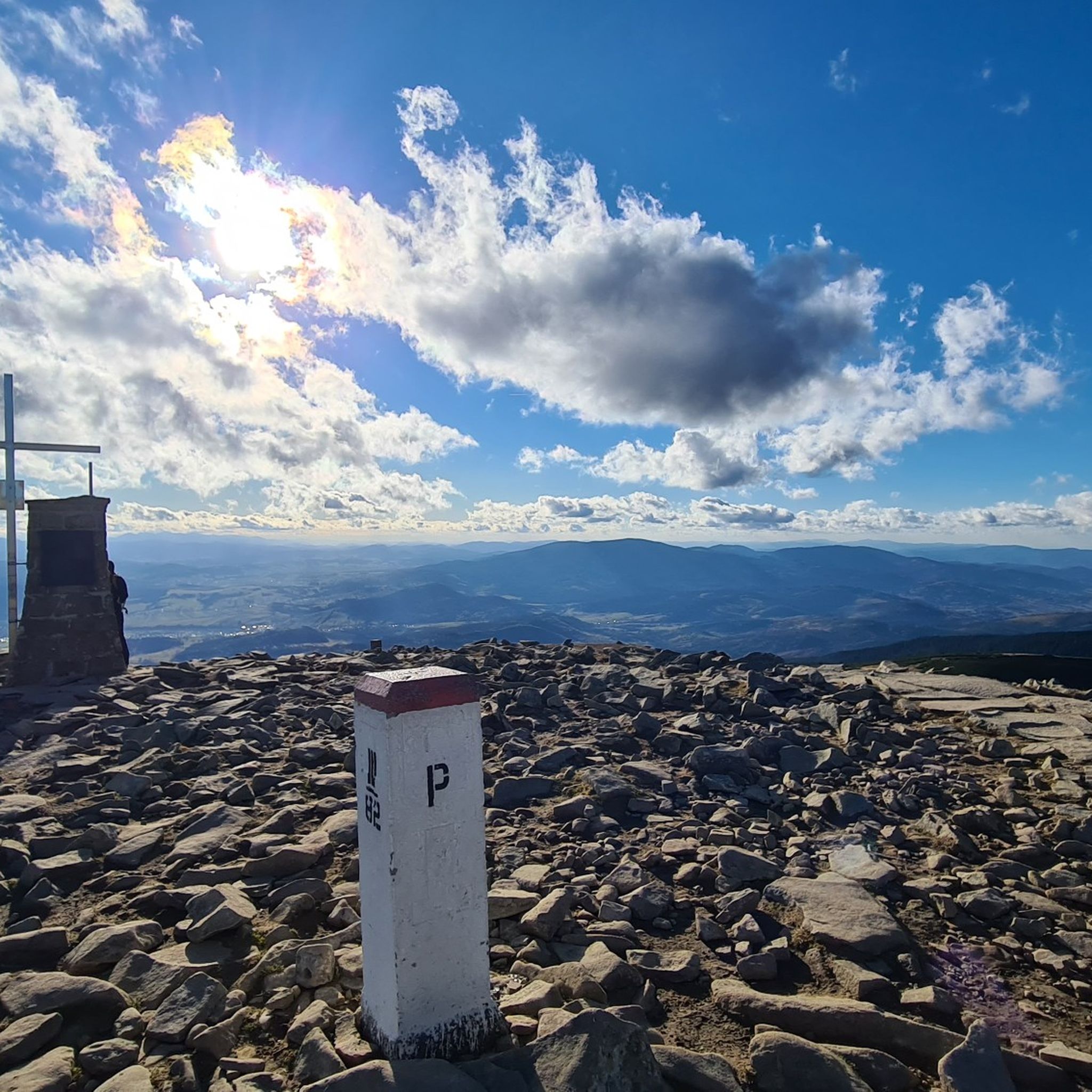
Hiking around Babiogórski Park Narodowy

Mountain Hikes around Babiogórski Park Narodowy
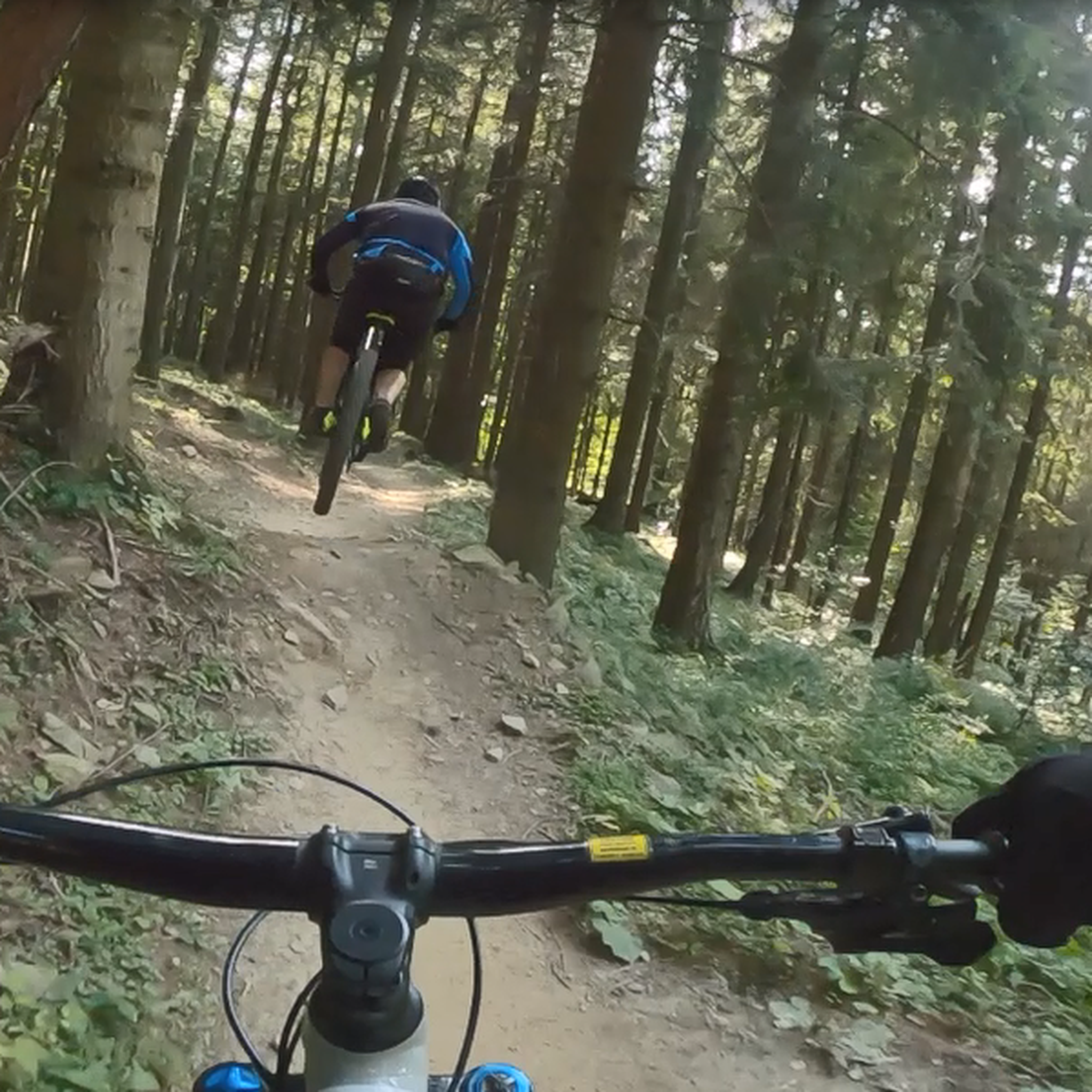
MTB Trails around Babiogórski Park Narodowy
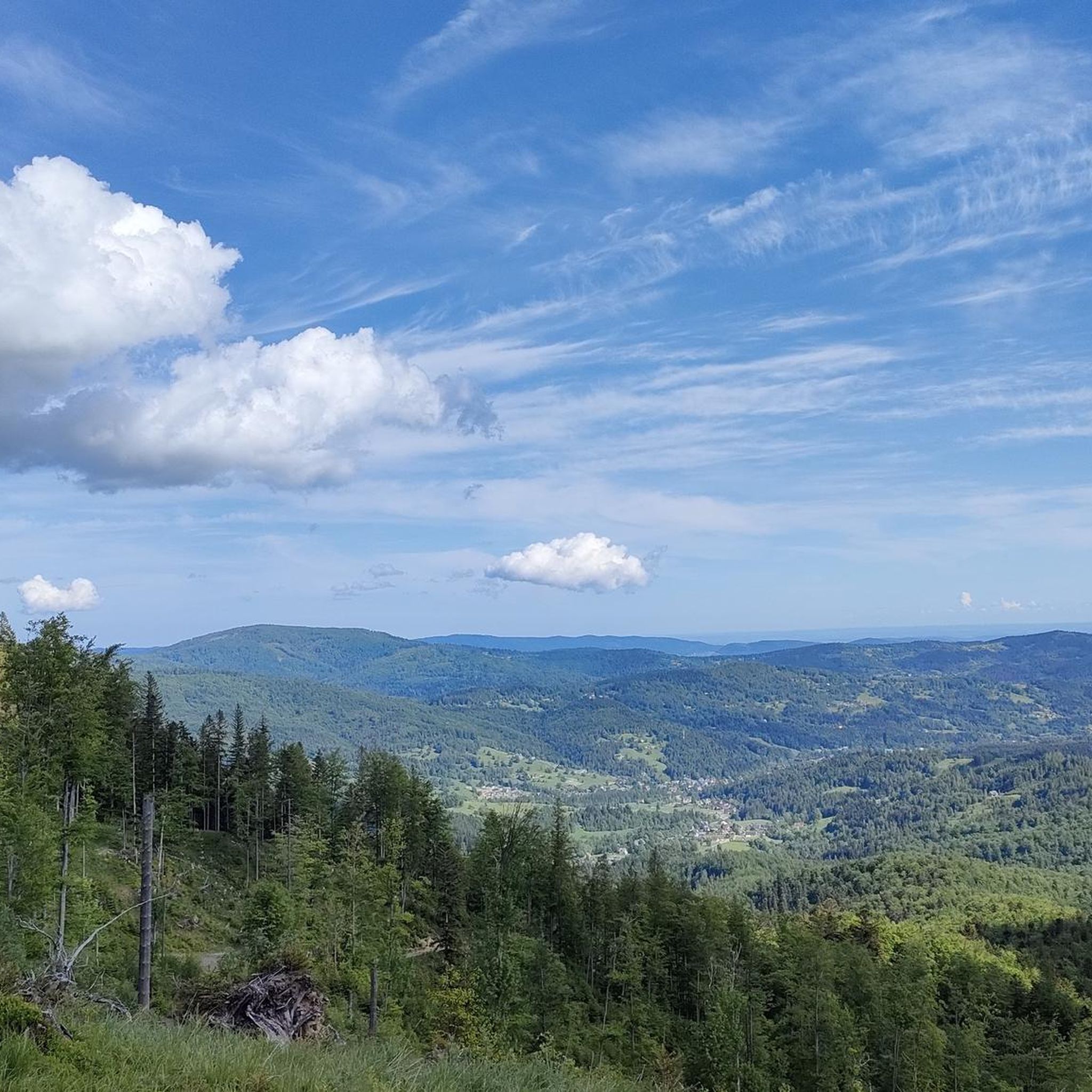
Running Trails around Babiogórski Park Narodowy
Road Cycling Routes around Babiogórski Park Narodowy

Gravel biking around Babiogórski Park Narodowy
Other adventures around Babiogórski Park Narodowy

Tips from the Community

Krowiarki Pass. Here you'll find a bus stop, parking, and the Babia Góra National Park ticket office (tickets can also be purchased online on the Babia Góra National Park website – 8 PLN, concessions 4 PLN). There's also a toi-toi and a souvenir shop.
0
0

crossing the Polish-Slovak border, a very long and steep uphill stretch from the Polish side
0
0

The summit of Mędralowa itself is just below, but here a small path branches off from the main trail and leads to a small hut and great views. It's worth the walk.
1
0
Okay, the pass itself is actually right there, a minute's walk north, but right next to it is a place with a truly amazing mountain view that you have to see—not on the Main Beskid Trail itself, but come down, take a look, and enjoy.
0
0

Easy access by asphalt road, hut with a beautiful view
0
0

Here starts the route and directly the climb to the top of the Babia Gora mountain. Please note that this is a national park and you have to buy entrance tickets. (Costs in 2023 - €3 p.p.) solid climb of about 800 meters in height over 3.5 kilometers in length.
0
0

One of two road climbs to the Krowiarki pass. Starting from the roundabout in Zawoja, we cover 9.2 km and 410 m of elevation, with an average gradient of 4.5%. The asphalt is new and very nice, the views especially in the first part. On weekends and in the summer months, car traffic can be heavy. Two interesting serpentines along the way, if you plan to return the same way.
1
0
Frequently Asked Questions
What kind of terrain can I expect when touring cycling around Babiogórski Park Narodowy?
The region is dominated by the Babia Góra Massif, featuring rugged terrain, steep slopes, and deep valleys. You'll encounter diverse altitudinal vegetation zones, from dense beech and fir forests at lower elevations to spruce trees higher up, transitioning into subalpine meadows. Routes can range from challenging mountain ascents to more serene forest paths, often with significant elevation changes.
Are there any easy touring cycling routes suitable for beginners in Babiogórski Park Narodowy?
While many routes in the area are rated as difficult, there is at least one easy touring cycling route available. The region offers a total of 36 touring cycling routes, with 13 rated as moderate and 22 as difficult, so it's best to check individual route details for suitability.
What are some notable natural features or viewpoints I can experience while cycling in the park?
Beyond the summit of Babia Gora (Diablak), which offers panoramic mountain views, you can find picturesque viewpoints like the View from Sokolica. The park also showcases distinct altitudinal vegetation zones, from dense forests to subalpine meadows.
What do other touring cyclists say about the routes in Babiogórski Park Narodowy?
The touring cycling routes around Babiogórski Park Narodowy are highly rated by the komoot community, with an average score of 4.8 stars from over 20 reviews. Cyclists often praise the challenging ascents, varied forest terrain, and the stunning mountain views, especially on routes like Gubernasówka Viewpoint – Hala Mędralowa and the hut loop from Zakopaniec.
Are there any circular touring cycling routes available?
Yes, many touring cycling routes in the area are designed as loops. For example, you can explore the Hala Mędralowa and the hut – Bicycle Dismount Point loop from Zakopaniec, which offers challenging ascents through varied forest terrain, or the Przegib Pass – Głuchaczki Pass loop from Morgi, leading through mountainous landscapes.
Can I combine cycling with hiking to the summit of Babia Góra?
Yes, from locations like Krowiarki Pass, cyclists can leave their bikes and embark on a hike to the summit of Babia Góra (Diablak). This allows you to experience both the cycling routes and the park's highest peak.
What kind of wildlife might I encounter in Babiogórski Park Narodowy?
Babiogórski Park Narodowy is rich in biodiversity. You might spot large mammals such as European brown bears, lynxes, and gray wolves, as well as red and roe deer. Birdwatchers can look out for species like golden eagles, Ural owls, and three-toed woodpeckers, with ring ouzels in higher meadows.
Are there dedicated bike parks or singletrack trails in the area?
Yes, near the Mosorny Groń chairlift, you'll find PKL BikeParks Mosorny Groń and the Babia Góra Trails complex. These offer 14.5 km of singletrack trails of varying difficulty (green to black), featuring elements like profiled turns, jumps, and natural obstacles, suitable for mountain biking enthusiasts.
What are some other interesting places to see or visit near the touring cycling routes?
Beyond the natural beauty, you can visit mountain passes like Harrow Pass or Krowiarki Pass. There's also the PTTK Markowe Szczawiny mountain hostel, which can be a good stop for refreshments or a break.
How long do touring cycling routes typically take in Babiogórski Park Narodowy?
Route durations vary significantly based on distance and difficulty. For instance, a difficult route like Przegib Pass – Playground in Koszarawa loop from Zakopaniec, covering 45.7 km, typically takes around 3 hours and 11 minutes. Shorter, difficult routes like Bicycle Dismount Point loop from Zakopaniec (27.8 km) can be completed in about 2 hours and 45 minutes.
What is the best time of year for touring cycling in Babiogórski Park Narodowy?
The park showcases distinct altitudinal zones, meaning conditions can vary. Generally, late spring through early autumn offers the most favorable weather for cycling, allowing you to enjoy the diverse plant life and panoramic views. Always check local weather conditions before heading out, especially for higher elevations.
Most popular routes around Babiogórski Park Narodowy
Most popular attractions around Babiogórski Park Narodowy

Get inspired with the komoot mobile app


Explore more
Browse the best Cycling routes in other regions.
