The best walks and hikes around Babiogórski Park Narodowy
4.7
(1045)
22,603
hikers
20
hikes
Hiking around Babiogórski Park Narodowy explores the Babia Góra Massif, the highest mountain range in the Polish Western Beskids, located in southern Poland. The landscape features steep slopes, deep valleys, and rocky ridges, shaped by glacial activity. Hikers encounter distinct altitudinal vegetation zones, from dense forests at lower elevations to spruce and dwarf mountain pine thickets higher up, culminating in subalpine meadows and rocky outcrops. The park protects the Babia Góra peak (Diablak), which reaches 1,725 meters.
Best hiking trails around Babiogórski Park Narodowy
- The most popular hiking route is The trail to Babia Góra from the Krowiarki Pass: Babiogórski National Park, a 5.9 miles (9.5 km) trail that takes 3 hours 42 minutes to complete. This route leads to the Babia Góra summit, offering extensive panoramic views.
- Another top favourite among local hikers is Babia Gora (Diablak) – Gówniak loop from Barańcowa, a difficult 13.7 miles (22.0 km) path. This challenging loop explores the main peaks of the massif, providing varied terrain and expansive vistas.
- Local hikers also love the View from Sokolica – Gówniak loop from Przełęcz Krowiarki, a 8.8 miles (14.2 km) trail leading through dense forests and past viewpoints like Sokolica, often completed in about 4 hours 56 minutes.
- Hiking around Babiogórski Park Narodowy is defined by steep slopes, dense forests, and rocky ridges, with subalpine meadows at higher elevations. The network offers options for different ability levels, from moderate forest paths to challenging mountain ascents.
- The routes in Babiogórski Park Narodowy are highly rated by the komoot community with an average score of 4.8 stars from over 600 reviews. More than 15,000 hikers have used komoot to explore Babiogórski Park Narodowy's varied terrain.
Last updated: October 1, 2026
4.9
(168)
3,474
hikers
Moderate hike. Good fitness required. Easily-accessible paths. Suitable for all skill levels.
4.9
(242)
4,951
hikers
22.0km
07:47
1,220m
1,230m
Hard hike. Very good fitness required. Easily-accessible paths. Suitable for all skill levels.

4.9
(226)
4,768
hikers
14.2km
04:56
740m
740m
Moderate hike. Good fitness required. Easily-accessible paths. Suitable for all skill levels.
4.9
(29)
963
hikers
10.8km
03:02
230m
230m
Moderate hike. Good fitness required. Easily-accessible paths. Suitable for all skill levels.
5.0
(18)
443
hikers
12.7km
03:36
280m
280m
Moderate hike. Good fitness required. Easily-accessible paths. Suitable for all skill levels.
Get access to more routes and recommendations from other explorers.
Already have an account?
Our route recommendations are based on thousands of hikes, rides, and runs completed by other people on komoot.
Start today with a free account
Your next adventure awaits.
Popular around Babiogórski Park Narodowy

Main Beskids Trail — the longest Polish Mountain Trail

Mountain Hikes around Babiogórski Park Narodowy
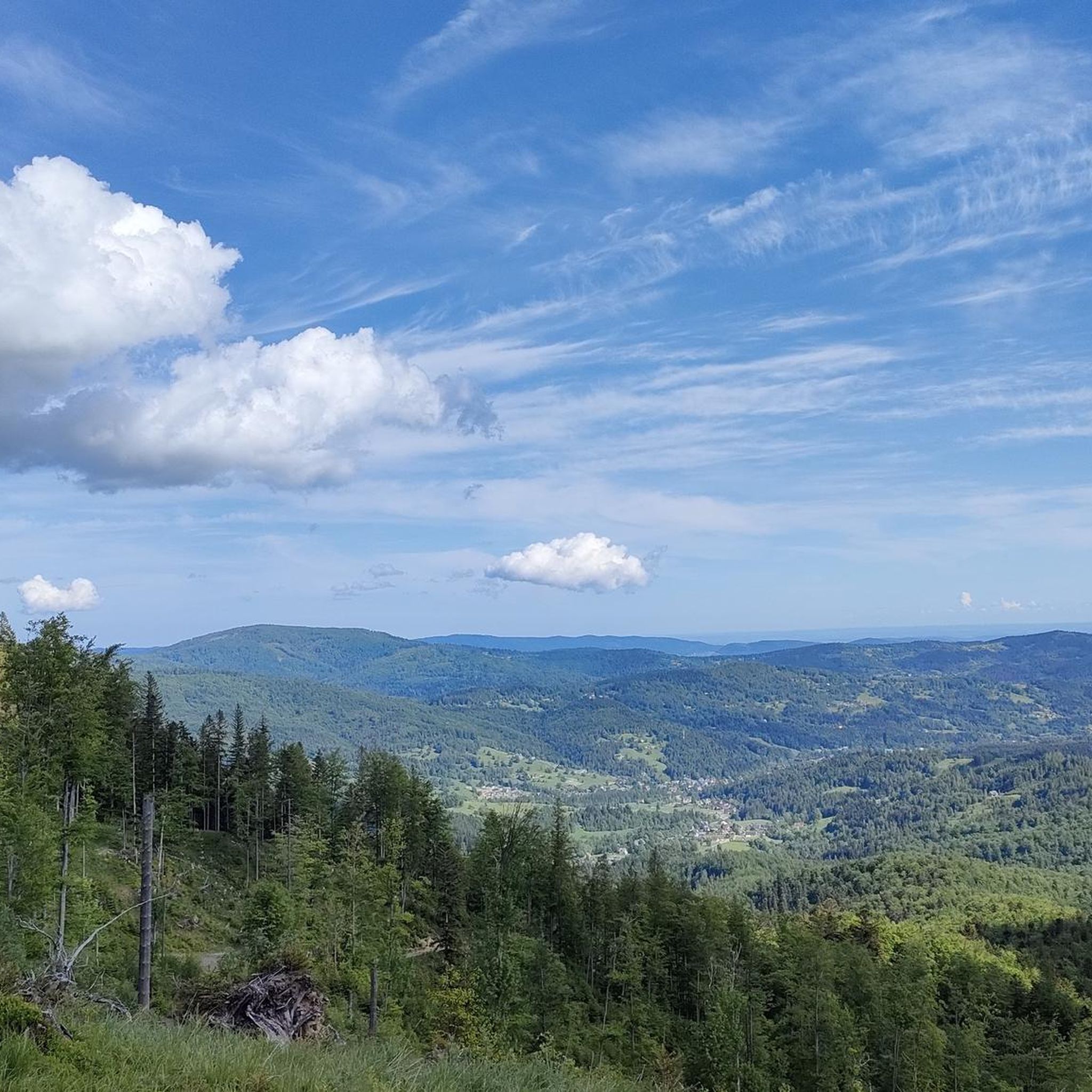
Running Trails around Babiogórski Park Narodowy
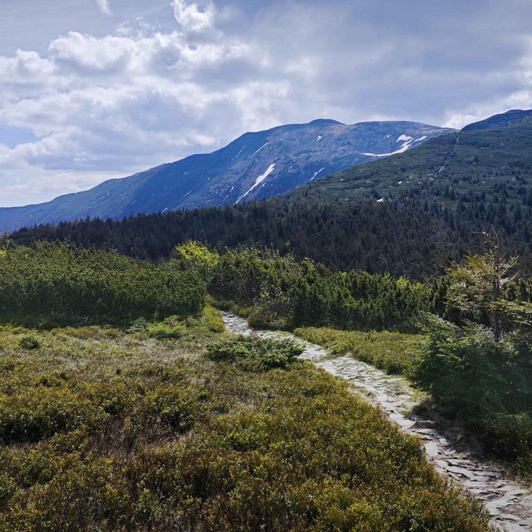
Cycling around Babiogórski Park Narodowy
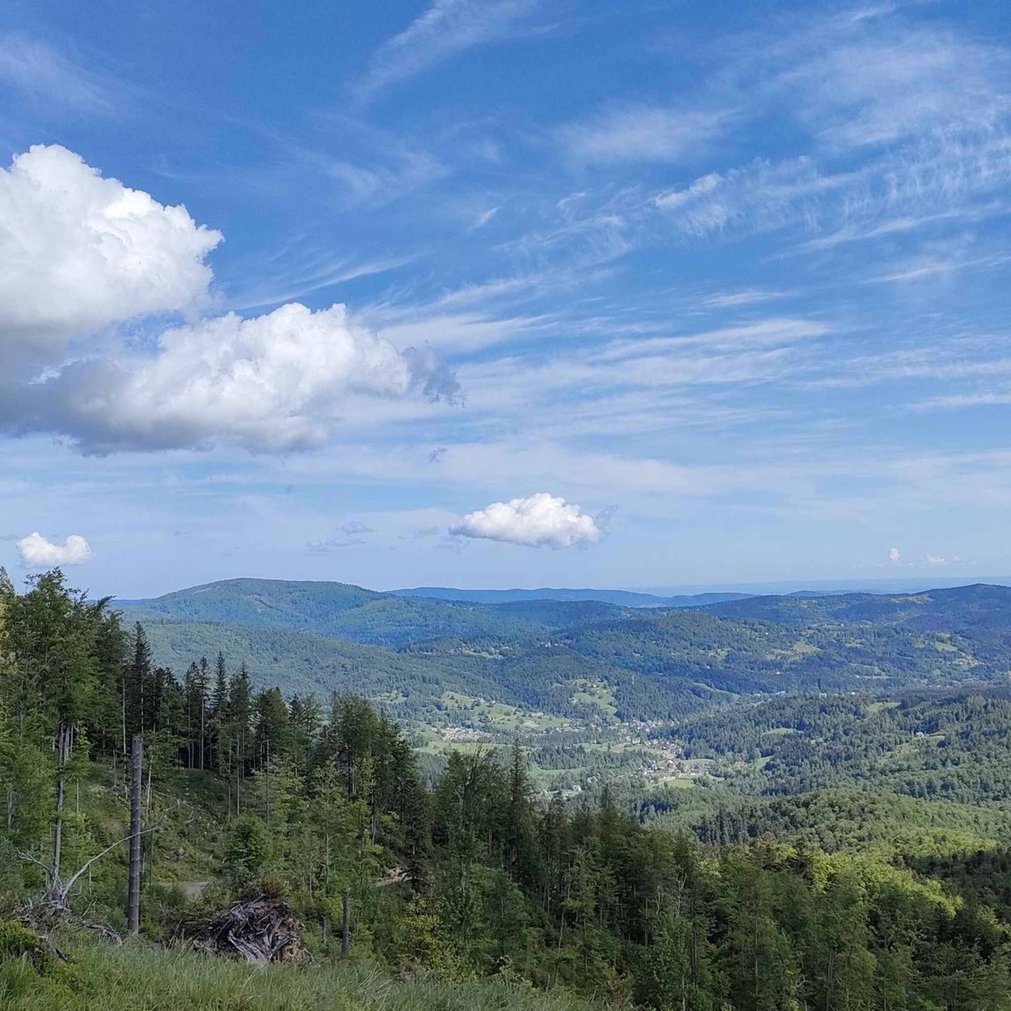
Road Cycling Routes around Babiogórski Park Narodowy
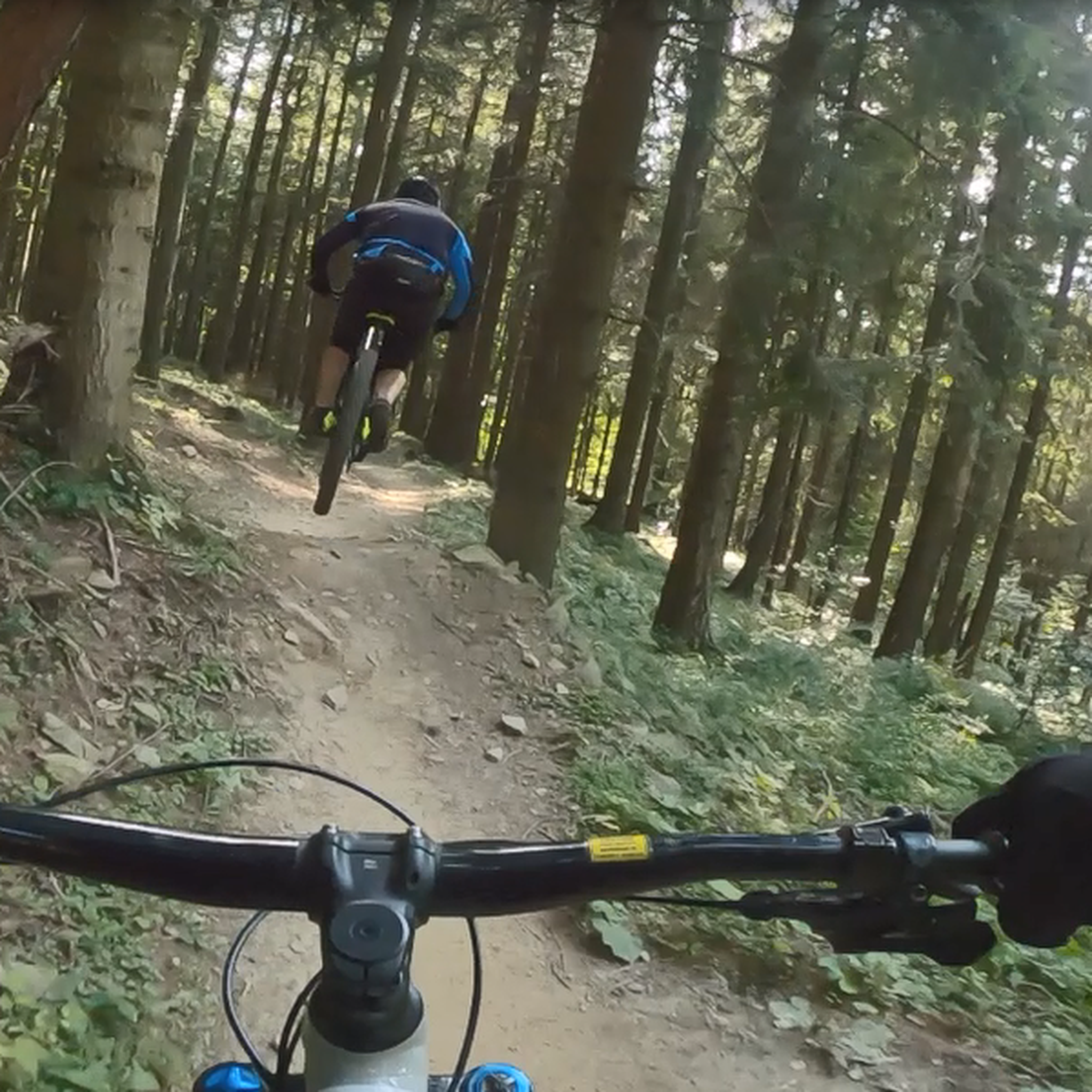
MTB Trails around Babiogórski Park Narodowy

Gravel biking around Babiogórski Park Narodowy
Other adventures around Babiogórski Park Narodowy

Tips from the Community

Polish people are crazy about hiking you can find them across the globe on peaks :D, so it really gets crowded so start early else you will end up in queue for pictures and food.
0
0

There's always a crowd, but plenty of space, so everyone can find their spot. A must-see on the route to Babia Góra.
0
0
A resting place before or after climbing Babia Góra. From Przełęcz, you can also hike to Cyl (Little Babia Góra), which is less than 30 minutes away.
0
0
The trails split. This is where the Perć Akademików trail begins - a ONE-WAY trail to Babia Góra.
0
0


From the Krowiarek Pass to Babia Góra, this is the first peak to be conquered, there are nice views and benches to rest on
0
0

Further information can be found at the following link: https://de.m.wikipedia.org/wiki/Diablak
1
0
Further information can be found at the following link: https://de.m.wikipedia.org/wiki/G%C3%B3wniak
1
0
Frequently Asked Questions
How many hiking trails are available in Babiogórski Park Narodowy?
Babiogórski Park Narodowy offers a network of over 20 hiking trails, catering to various fitness levels. You'll find options ranging from moderate forest paths to challenging mountain ascents, with 7 difficult routes and 11 moderate ones.
What are the best times of year to hike in Babiogórski Park Narodowy?
The best time to hike in Babiogórski Park Narodowy is generally from late spring to early autumn (May to October). During these months, the weather is more stable, and trails are typically free of snow. However, be aware that Babia Góra is known as the 'Mother of Bad Weather,' so conditions can change rapidly. Always check the forecast before heading out.
Are there any challenging hikes for experienced trekkers?
Yes, the park offers several challenging routes. For instance, the Babia Gora (Diablak) – Gówniak loop from Barańcowa is a difficult 22.0 km path that explores the main peaks of the massif. The 'Perć Akademików' (Academician's Path) is also known as the most difficult trail in the Beskidy Mountains, located on the steep northern slope of Babia Góra.
What kind of views can I expect on the trails?
The trails in Babiogórski Park Narodowy offer diverse and often spectacular views. From the summit of Babia Gora (Diablak), you can enjoy extensive panoramas, including breathtaking vistas of the Tatra Mountains on clear days. Viewpoints like Sokolica and Kępa also provide striking views of the massif and surrounding valleys.
Are there any circular hiking routes in the park?
Yes, there are several circular routes available. A good option is the View from Sokolica – Gówniak loop from Przełęcz Krowiarki, which is a moderate 14.2 km trail. Another is the View of Diablak – Forest Path loop from Babia Góra National Park, a moderate 10.7 km route.
What are some notable natural features or attractions to see while hiking?
Beyond the stunning mountain landscapes, you can explore distinct altitudinal vegetation zones, from ancient beech and fir forests to subalpine meadows. Keep an eye out for Babia Gora (Diablak) itself, the highest peak, and the PTTK Markowe Szczawiny mountain hostel, a popular resting point. The park is also a UNESCO Biosphere Reserve, home to diverse wildlife.
Is there a mountain hut or shelter available on the trails?
Yes, the PTTK Markowe Szczawiny mountain hostel is a popular resting point and shelter located on many routes leading to the peak of Babia Góra. It's a good place to take a break, refuel, or seek shelter from changing weather conditions.
What do other hikers say about Babiogórski Park Narodowy?
The area is highly rated by the komoot community, with an average score of 4.8 stars from over 600 reviews. Hikers often praise the diverse terrain, from dense forests to rocky ridges, and the rewarding panoramic views from the higher elevations. Many appreciate the less crowded experience compared to other mountain ranges.
Are there any trails that pass by water features?
While Babiogórski Park Narodowy is primarily known for its mountain landscapes, you can find some water features. The Wet Pond – View of Diablak loop from Przełęcz Krowiarki is a moderate 11.3 km route that includes the Markowy Stawek (Markowy Pond), one of Babia Góra's larger, seasonal water reservoirs.
Where can I find information about the park's regulations or current conditions?
For official information regarding park regulations, current conditions, or any necessary permits, it's best to consult the park's official website. You can find more details at bgpn.gov.pl.
Are there options for less strenuous hikes for beginners?
While many trails involve significant elevation gain, there are options for beginners or those seeking less strenuous walks, particularly at lower elevations. The park's network includes paths through dense forests that are less demanding than the ascents to the main peaks. Always check the difficulty rating and elevation profile before starting a hike.
Is it possible to reach the park using public transport?
Access to Babiogórski Park Narodowy by public transport can be limited, but it is possible to reach certain entry points, such as Krowiarki Pass, by bus from nearby towns. It's advisable to research local bus schedules in advance, as services may be infrequent, especially outside of peak season.
Are there parking facilities available at the trailheads?
Yes, parking facilities are available at key trailheads, such as Przełęcz Krowiarki (Krowiarki Pass), which is a common starting point for many routes, including the popular ascent to Babia Góra. There may be a fee for parking, so it's good to be prepared.
Most popular routes around Babiogórski Park Narodowy
Most popular attractions around Babiogórski Park Narodowy

Get inspired with the komoot mobile app


Explore more
Browse the best Hikes in other regions.
