The best road cycling routes around Pfullingen
4.5
(1393)
18,388
riders
21
rides
Road cycling routes around Pfullingen are set at the foot of the Swabian Alb, offering diverse landscapes for cyclists. The region features a varied topography of hills, valleys, and the Alb plateau, characterized by the dramatic Albtrauf escarpment. The Echaz river flows through the valley, providing routes with gentler gradients, while ascents into the Swabian Alb present more challenging terrain. This area provides an extensive network of paved routes suitable for road bikes, catering to various fitness levels.
Best road…
Last updated: September 28, 2026
4.3
(12)
111
riders
Moderate road ride. Great for any fitness level. Some segments of this route may be unpaved and difficult to ride.
4.9
(20)
89
riders
35.3km
01:28
220m
220m
Easy road ride. Great for any fitness level. Mostly well-paved surfaces and easy to ride.

3.0
(3)
63
riders
27.6km
01:12
260m
260m
Moderate road ride. Great for any fitness level. Some segments of this route may be unpaved and difficult to ride.
4.3
(3)
45
riders
28.2km
01:16
320m
320m
Moderate road ride. Good fitness required. Some segments of this route may be unpaved and difficult to ride.
4.0
(2)
46
riders
Moderate road ride. Good fitness required. Some segments of this route may be unpaved and difficult to ride.
Get access to more routes and recommendations from other explorers.
Already have an account?
Our route recommendations are based on thousands of hikes, rides, and runs completed by other people on komoot.
Start today with a free account
Your next adventure awaits.
Popular around Pfullingen
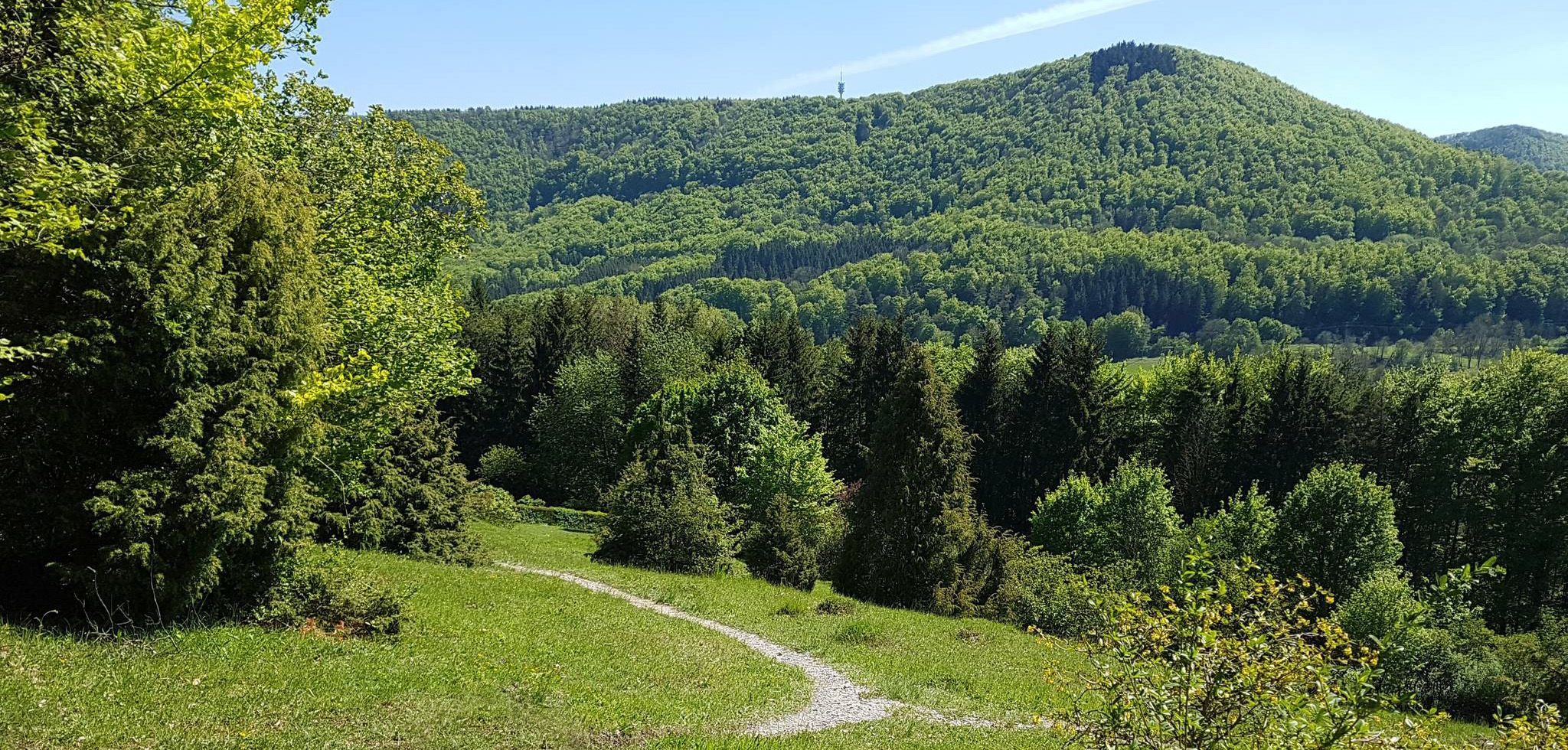
Spätzle Cross — 7 days on the Swabian Alb
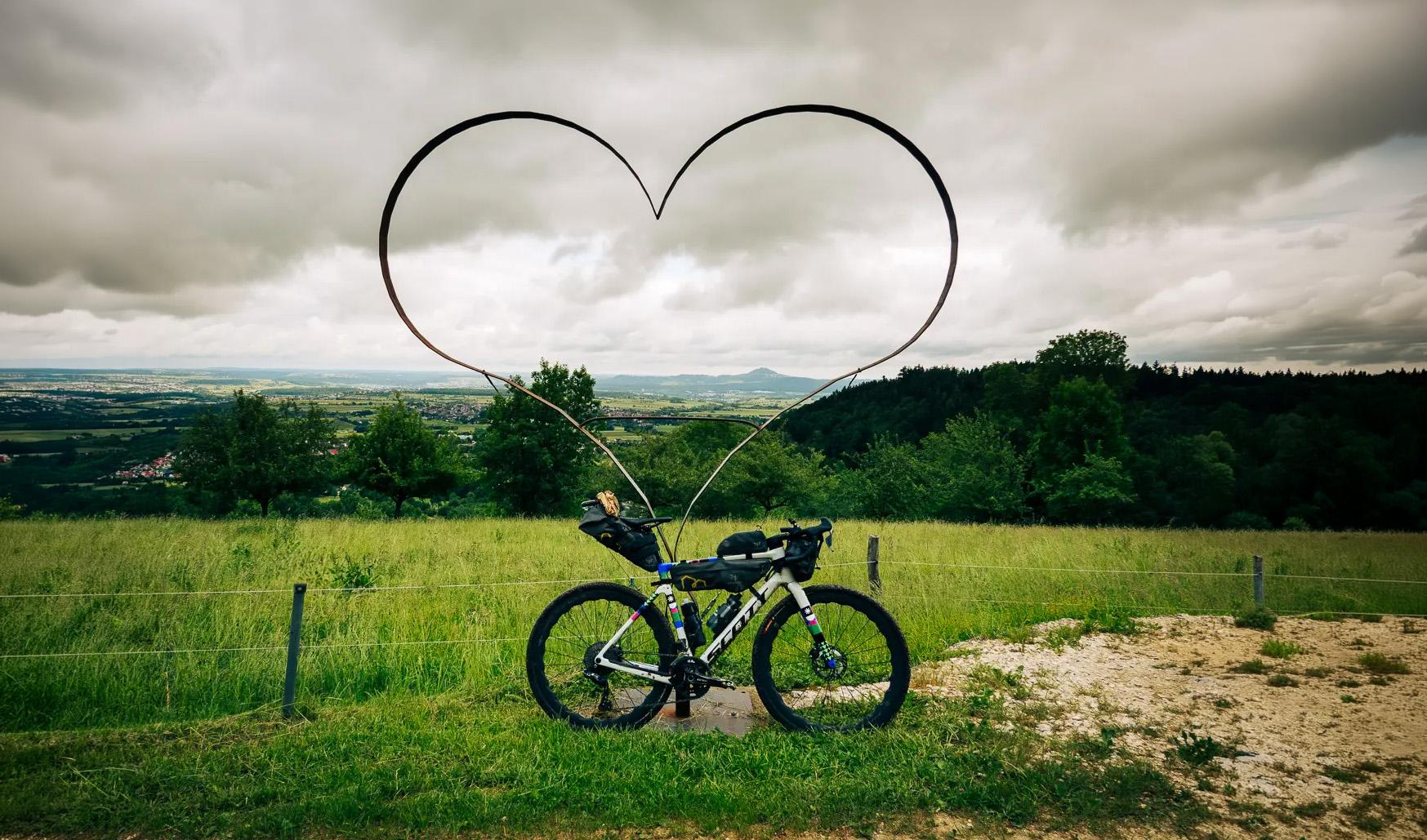
Alb-Crossing – through the quiet expanse of the Swabian Jura
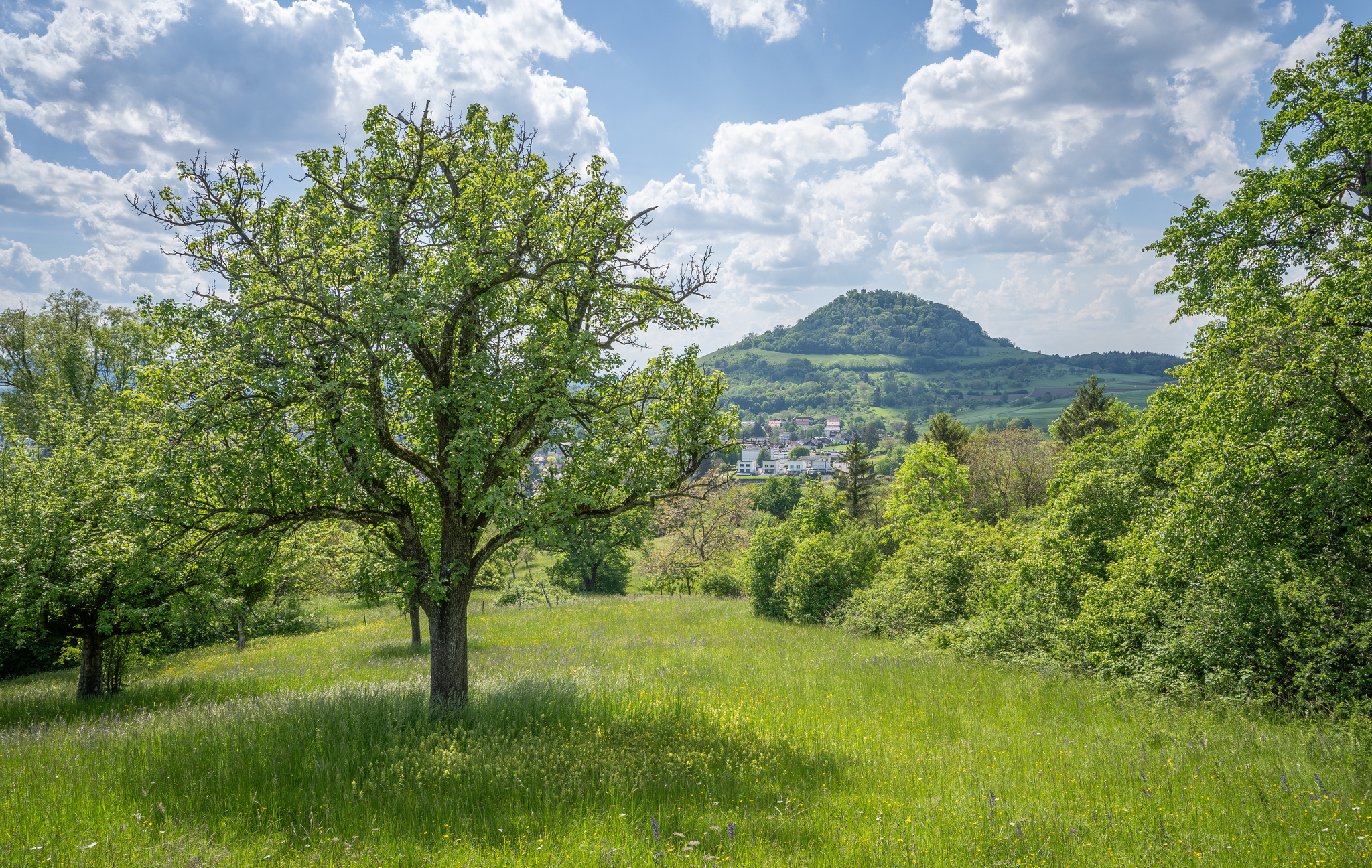
Natural splendour on the Hochgehbergen

#GoFurther – discover the views of Germany!
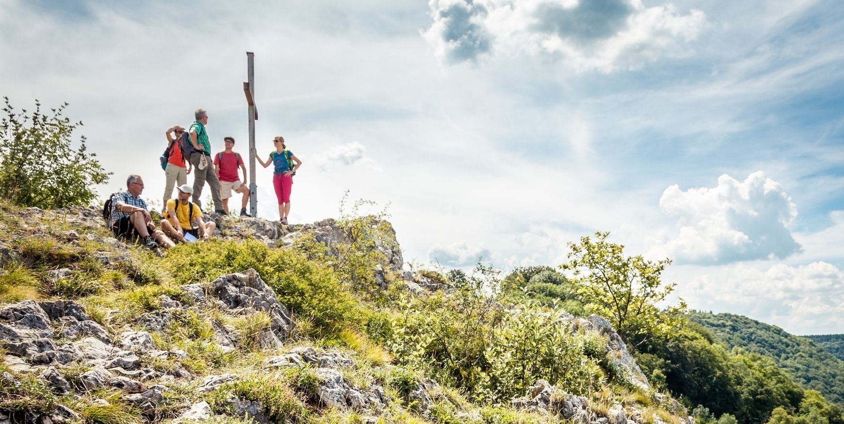
22 high mountain walks — hiking in the Swabian Alb

33 MTB trails through German forests
Beautiful fall hikes around Stuttgart
The Swabian Jura — castles, caves and trails
Hiking around Pfullingen
Cycling around Pfullingen
Other adventures around Pfullingen


Tips from the Community

The Schwanen belonged, like the mill, until 1761 as a fief mill to the Pfullingen monastery, from which it also got its name. Only afterwards did it pass into the ownership of the Röhm families, who successfully operated the mill until the end of the 90s. The Schwanen is first mentioned in the Urach forest map in 1544. Back then and still until the mid-50s, this was a popular meeting place for rafters, fishermen and millers, who earned their living in the mill and on the Neckar. They met in convivial company over wine, beer and snacks, and many a rafter, according to the story, had to "park" his timbers in the Neckar and spend the night in Mittelstadt. In 1971 the Schwanen was dismantled down to the foundations, the timber frame was fitted with new oak beams, enlarged and given the current name "Klostermühle".
7
0

The view of the Roßberg offers an impressive panorama and shows one of the most striking landmarks of the Swabian Jura.
0
0

Old gravel pits and swimming ponds line up here in the Neckar valley.
3
0
The quarry lakes are well visited. The cycle path is good, but in places almost a bit narrow when larger groups come in the opposite direction.
2
0

Rides well, but be careful: it's quite narrow with oncoming traffic (bike with trailer). Consideration helps. Has anyone ever noticed that there is almost always a headwind in the Neckar valley?
0
0

Beautiful connecting path 🏞🥾 - Between Gönningen and Bronnweiler - Reutlingen district
0
0

Great pacing track! You can really push yourself there! ⏩
1
0

Unfortunately, it's been closed for two years due to a landslide. You can get through on foot or by bike, but you often have to dismount to circumvent the barriers.
0
0
Frequently Asked Questions
How many road cycling routes are available in Pfullingen?
Pfullingen offers a wide array of road cycling routes, with over 20 routes detailed on komoot. The broader region, nestled at the foot of the Swabian Alb, boasts hundreds of routes catering to various fitness levels, ensuring a diverse selection for every cyclist.
Are there road cycling routes suitable for beginners or those seeking an easy ride?
Yes, Pfullingen provides several easy road cycling routes. For example, the View of the Neckar – Pfullingen North Cycle Path loop from Pfullingen is an easy 35.2 km path that offers pleasant views towards the Neckar river on a dedicated cycle path. There are 5 easy routes available on komoot.
What kind of scenic views and landmarks can I expect on road cycling routes around Pfullingen?
Road cycling routes around Pfullingen offer diverse scenic views, from the dramatic Albtrauf escarpment of the Swabian Alb to picturesque river valleys like the Echaz. You can enjoy panoramic views from distinctive hills such as the Schönberg, or incorporate routes that pass by landmarks like the fairytale Lichtenstein Castle. The Schönberg Tower also provides magnificent panoramic views of the surrounding Alb foothills.
Are there any challenging road cycling routes with significant elevation gain?
Absolutely. Pfullingen's location at the foot of the Swabian Alb means many routes feature ascents into the Alb plateau, offering considerable elevation gain. For instance, the View of Lichtenstein Castle – Old Unterhausen railway line loop from Pfullingen includes over 475 meters of elevation gain over 33 km. For a truly demanding experience, the region is also part of the 'Alb-Crossing' cycle trail, a 368 km route with approximately 7,000 meters of elevation gain.
Are there routes that pass by natural features like waterfalls or rivers?
Yes, the Echaz river flows through the valley, providing pleasant routes with gentler gradients. For those interested in waterfalls, the nearby Urach Waterfall, cascading 37 meters, and the 20-meter high Güterstein Waterfall are impressive natural monuments that can be incorporated into longer rides or visited as side trips.
What do other road cyclists enjoy most about road cycling in Pfullingen?
The road cycling routes around Pfullingen are highly rated by the komoot community, with an average score of 4.4 stars from over 60 reviews. Cyclists frequently praise the diverse landscapes, the variety of routes catering to different skill levels, and the stunning views of the Swabian Alb and its landmarks.
Are most road cycling routes in Pfullingen circular?
Many of the road cycling routes around Pfullingen are designed as loops, allowing you to start and finish in the same location. Examples include the Ascent to Hofgut Alteburg – Path Behind the Kreuzeiche loop from Pfullingen and the View of Farrenberg – View of Roßberg loop from Pfullingen, offering convenient circular tours.
When is the best time of year for road cycling in Pfullingen?
The best time for road cycling in Pfullingen is generally from spring through autumn. During these seasons, the weather is typically mild, and the landscapes are vibrant. While many routes feature paved surfaces, it's always advisable to check local weather forecasts, especially when planning rides into the higher elevations of the Swabian Alb, where conditions can change.
Are there any historical routes for road cyclists in the area?
Yes, for those interested in history, an 'Old Roman Road Cycle Path' offers a unique historical route between Unterhausen and Pfullingen, allowing cyclists to trace ancient paths while enjoying the scenic surroundings.
What are the typical lengths of road cycling routes around Pfullingen?
The road cycling routes around Pfullingen vary significantly in length to suit different preferences. You can find shorter rides, such as the Ascent to Hofgut Alteburg – Path Behind the Kreuzeiche loop from Pfullingen at 20.1 km, or longer excursions like the View of the Neckar – Pfullingen North Cycle Path loop from Pfullingen, which covers 35.2 km. The region also connects to much longer routes like the Alb-Crossing.
Can I find routes that offer views of multiple peaks or prominent hills?
Yes, several routes are designed to showcase the region's distinctive topography. For instance, the View of Roßberg – View of Farrenberg loop from Pfullingen provides scenic views of both Roßberg and Farrenberg, two prominent hills in the area, offering a dynamic cycling experience.
Most popular routes around Pfullingen
Most popular attractions around Pfullingen

Get inspired with the komoot mobile app


Explore more
Browse the best Road cycling routes in other regions.
