The best gravel rides around Pfullingen
4.6
(97)
554
riders
92
rides
Gravel biking around Pfullingen offers diverse landscapes at the foot of the Swabian Alb. The region is characterized by its location in the Echaz River valley, providing access to the Albrand and the Alb plateau. Riders encounter a blend of challenging terrain and scenic routes through forests and distinctive hills like Achalm and Georgenberg. The area features unpaved segments and forest paths, suitable for various skill levels.
Best gravel bike trails around Pfullingen
- The most popular gravel bike trail is…
Last updated: September 29, 2026
4.8
(9)
44
riders
76.5km
04:08
640m
640m
Hard gravel ride. Very good fitness required. Mostly paved surfaces. Suitable for all skill levels.
5.0
(1)
12
riders
Hard gravel ride. Very good fitness required. You may need to push your bike for some segments of this route.

4.9
(8)
29
riders
27.6km
01:43
460m
460m
Hard gravel ride. Very good fitness required. Mostly paved surfaces. Suitable for all skill levels.
4.7
(3)
21
riders
124km
06:56
1,380m
1,380m
Hard gravel ride. Very good fitness required. Mostly paved surfaces. Suitable for all skill levels.
4.0
(12)
38
riders
32.8km
01:49
270m
270m
Moderate gravel ride. Good fitness required. Mostly paved surfaces. Suitable for all skill levels.
Get access to more routes and recommendations from other explorers.
Already have an account?
Our route recommendations are based on thousands of hikes, rides, and runs completed by other people on komoot.
Start today with a free account
Your next adventure awaits.
Popular around Pfullingen
Spätzle Cross — 7 days on the Swabian Alb
Alb-Crossing – through the quiet expanse of the Swabian Jura
Natural splendour on the Hochgehbergen

#GoFurther – discover the views of Germany!
22 high mountain walks — hiking in the Swabian Alb

33 MTB trails through German forests
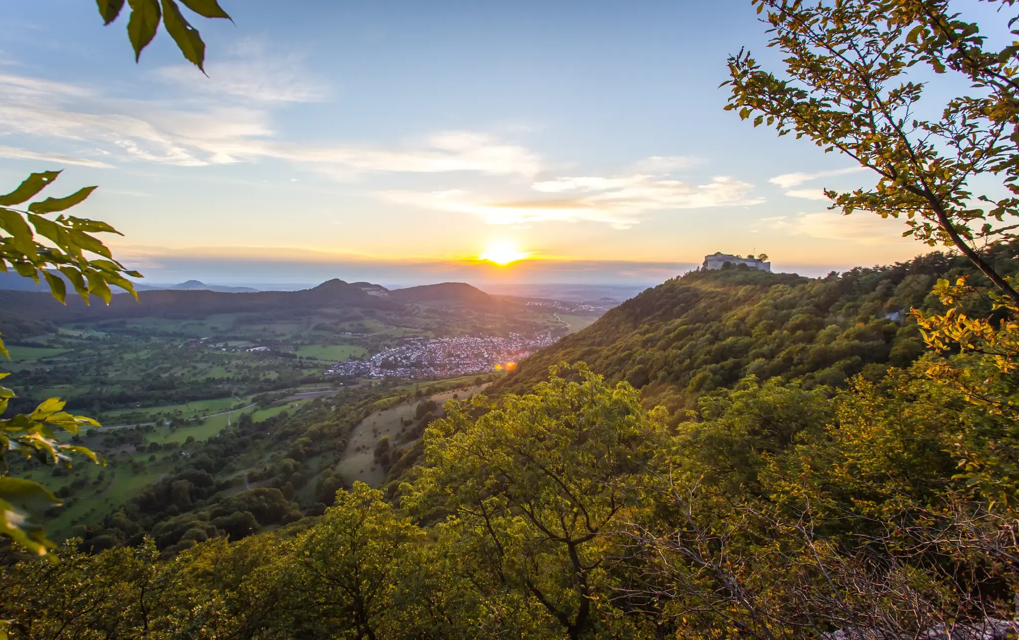
Beautiful fall hikes around Stuttgart
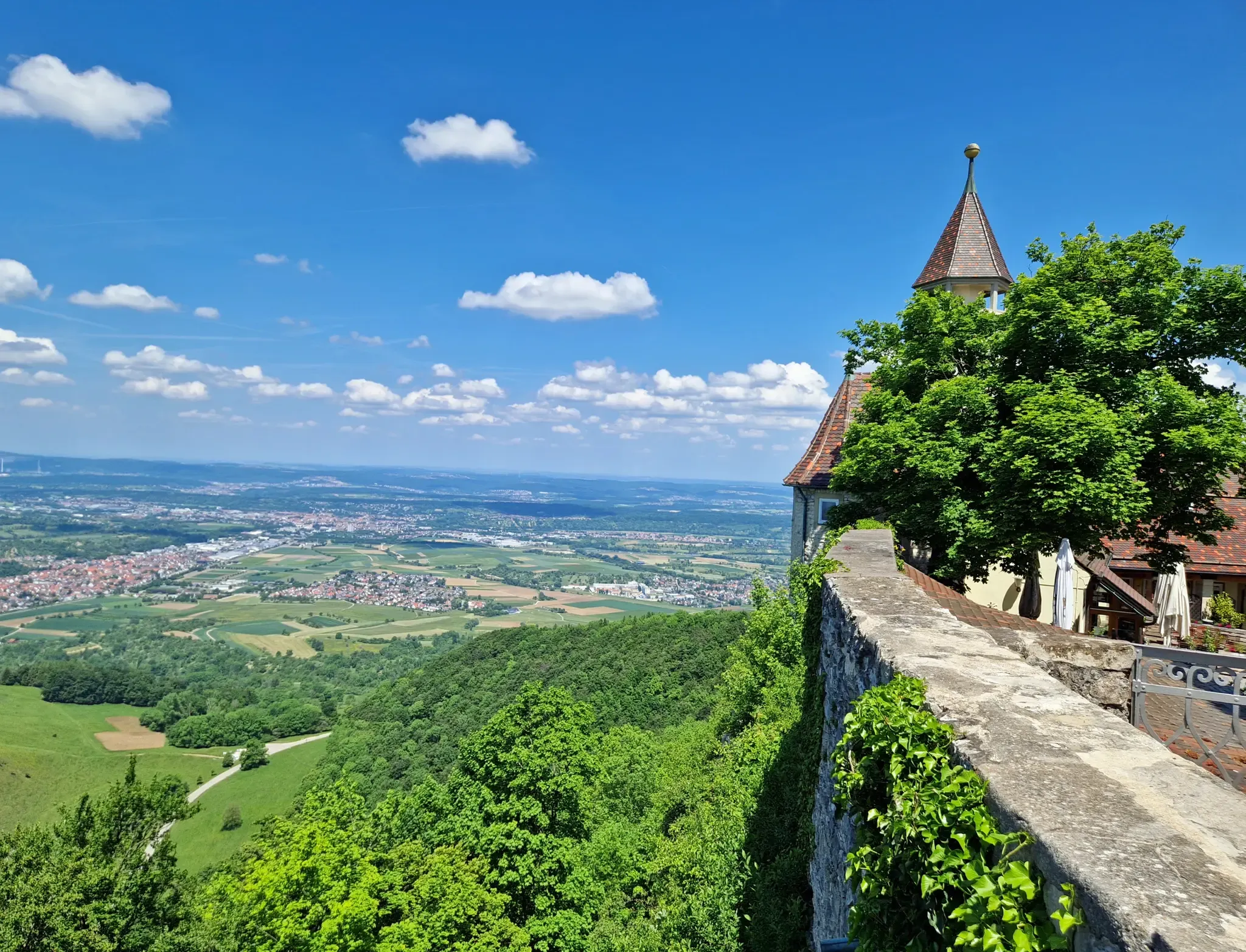
The Swabian Jura — castles, caves and trails
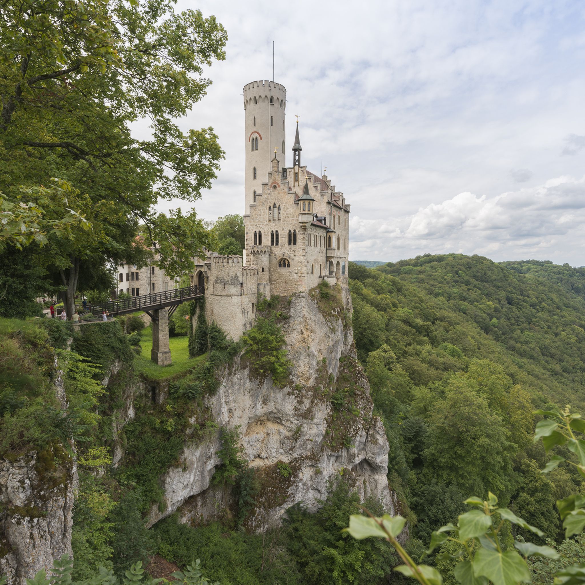
Hiking around Pfullingen
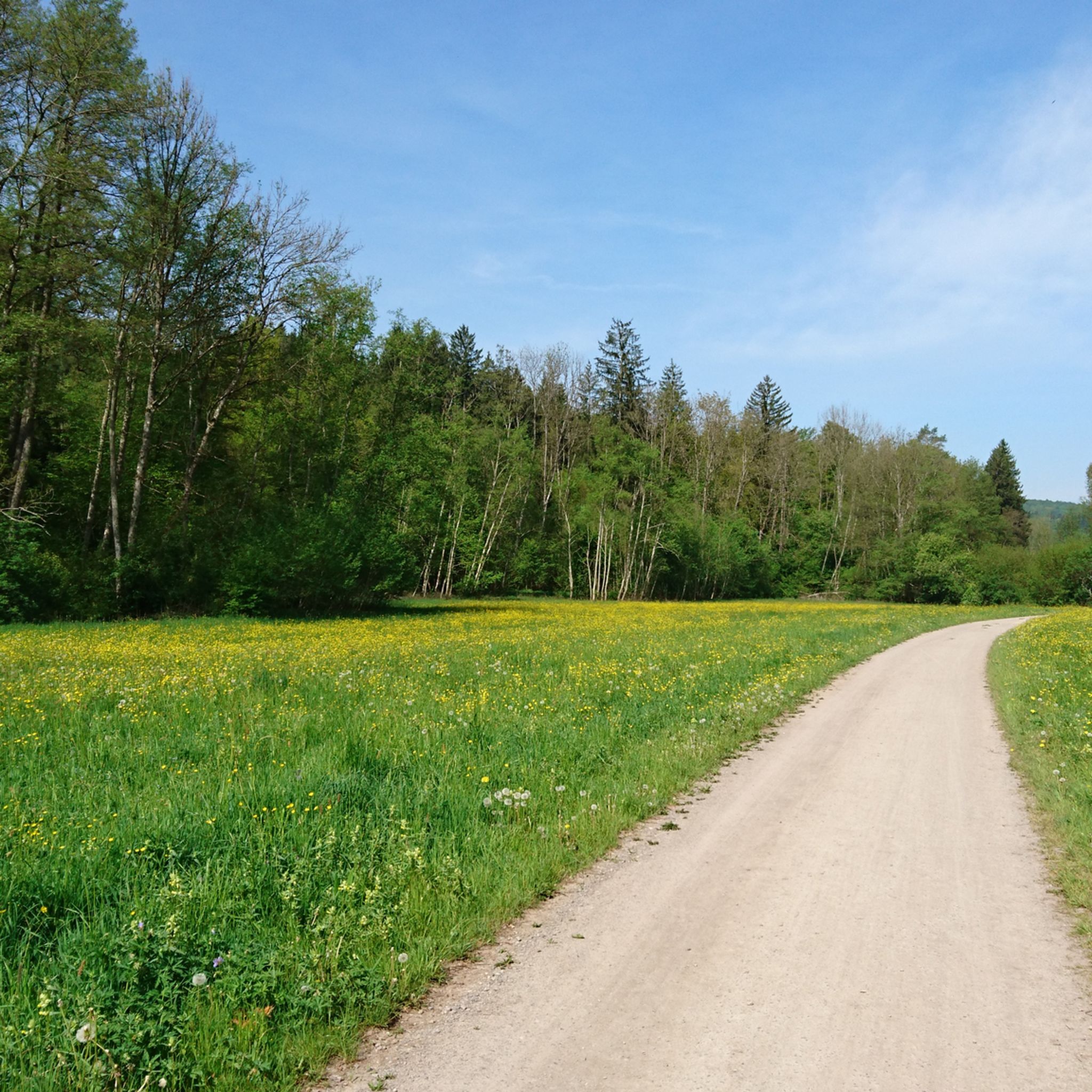
Cycling around Pfullingen
Other adventures around Pfullingen


Tips from the Community

Picturesque landscape, well-developed cycle path
0
0

Beautiful to ride through here.
0
0

The density of restaurants here is very low!
0
0

Very nice flowing trail, where you always get something for the eye from nature. Just roll along and enjoy.
0
0

Well-used cycle path with very good surface.
3
0

Nature reserve, please do not cycle through, the cycle path goes a little above to the Schützenhaus and then swings downwards.
0
0


A section of the Neckarrdweg……
1
0
Frequently Asked Questions
How many gravel bike trails are available around Pfullingen?
There are over 260 gravel bike trails around Pfullingen listed on komoot, offering a wide range of options for various skill levels. This includes 4 easy, 100 moderate, and 160 difficult routes.
What kind of terrain can I expect on gravel bike trails around Pfullingen?
The terrain around Pfullingen is highly diverse, situated at the foot of the Swabian Alb. You can expect a mix of unpaved segments, lonely forest paths, and some paved sections. Routes often traverse the Echaz River valley, the Albrand, and the Alb plateau, featuring distinctive hills like Achalm and Georgenberg, and passing through various nature reserves. The Swabian Alb is known for its varied topography, making it a true 'gravel paradise'.
What do other gravel bikers enjoy most about Pfullingen's trails?
The gravel biking routes around Pfullingen are highly rated by the komoot community, with an average score of 4.5 stars from over 200 reviews. Riders often praise the diverse landscapes, the blend of challenging and scenic routes, and the opportunity to explore the natural beauty of the Swabian Alb's foothills and dense forests.
Are there any long-distance gravel cycling options near Pfullingen?
Yes, Pfullingen serves as a great base for longer gravel adventures. For instance, the Lauter Valley Cycle Path – Great Lauter Valley loop from Reutlingen West is a challenging 125 km route. The region is also part of the larger 'Alb-Crossing,' a 370-kilometer route across the Swabian Alb that is suitable for gravel bikes.
Are there family-friendly gravel bike routes in Pfullingen?
While many routes around Pfullingen are moderate to difficult, there are some easier options suitable for families or beginners. These routes typically feature mostly paved sections or less challenging unpaved paths. Look for routes categorized as 'easy' on komoot to find the most suitable options for a family outing.
What natural attractions can I see along the gravel routes?
Pfullingen's gravel routes often pass by impressive natural features. You might encounter the beautiful Urach Waterfall or the lush Güterstein waterfall, especially after heavy rains. The region also features unique rock formations like Wackerstein and various nature reserves with ancient forests, offering rich natural habitats.
Are there any historical landmarks or viewpoints accessible by gravel bike?
Absolutely. Many routes offer views of or pass near historical sites and viewpoints. The Göllesberg Trail – Lichtenstein Castle loop from Pfullingen, for example, provides views of the iconic Lichtenstein Castle. You can also find observation towers like the Sternberg Tower or the Schönbergturm, offering panoramic views of the Swabian Alb.
Are there circular gravel bike routes available?
Yes, many of the gravel bike routes around Pfullingen are designed as loops, allowing you to start and end at the same point. Examples include the Goldersbach valley – Schönbuch Tower loop from Reutlingen West and the Halbhöhenweg to Gönningen – Gönningen Waterfall loop from Reutlingen West.
What is the best time of year for gravel biking in Pfullingen?
The best time for gravel biking in Pfullingen is generally from spring through autumn. During these seasons, the weather is more favorable, and the trails are in optimal condition. While winter cycling is possible, some challenging sections might be affected by snow or ice, requiring more advanced skills and appropriate gear.
Are there places to stop for refreshments or shelter along the trails?
Yes, the region offers several huts and shelters that can serve as rest stops or provide shelter. For example, you might find the Rossberg Hiking Lodge or the Wackerstein Shelter and Fire Pit. Many towns and villages along the routes also offer cafes and pubs for cyclists.
Can I reach the gravel bike trails using public transport?
Pfullingen is well-connected, and some routes are accessible via public transport, particularly from larger hubs like Reutlingen. It's advisable to check local bus and train schedules, and policies regarding bicycle transport, to plan your journey to the starting points of the trails.
Most popular routes around Pfullingen
Most popular attractions around Pfullingen

Get inspired with the komoot mobile app


Explore more
Browse the best Gravel rides in other regions.
