The best hikes from bus stations around Palo Alto
4.6
(542)
7,982
hikers
13
hikes
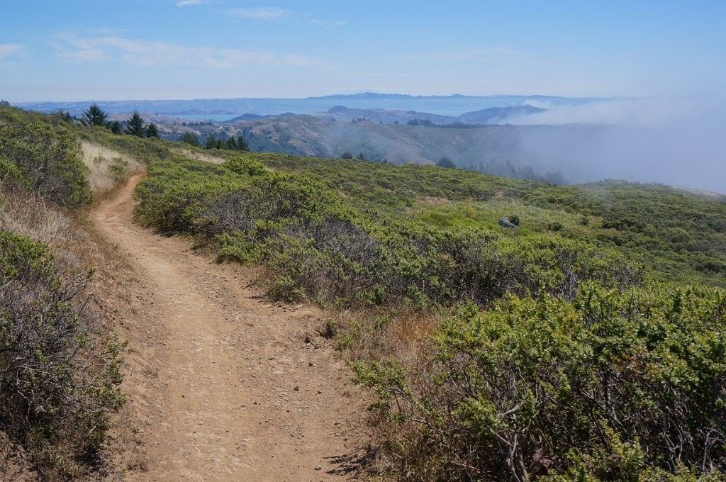
Bus station hiking trails around Palo Alto offer access to diverse landscapes, from flat marshlands to rolling hills and woodlands. The region is characterized by its proximity to the San Francisco Bay, providing trails through wetlands and along the bay shore. Inland, hikers can find routes traversing savanna grasslands and oak woodlands, with some trails featuring gentle ascents to hills under 200 meters.
Best bus station hiking trails around Palo Alto
- The most popular bus station hiking route is Kite…
Last updated: October 25, 2026
5.0
(1)
51
hikers
Easy hike. Easily walkable paths.
5.0
(1)
27
hikers
6.41km
01:38
20m
20m
Easy hike. Easily walkable paths.

14
hikers
Easy hike. Easily walkable paths.
19
hikers
Easy hike. Easily walkable paths.
5.0
(1)
12
hikers
5.44km
01:33
120m
120m
Easy hike. Easily walkable paths.
Get access to more routes and recommendations from other explorers.
Already have an account?
Our route recommendations are based on thousands of hikes, rides, and runs completed by other people on komoot.
Other adventures around Palo Alto

Tips from the Community


This spot is a fantastic place to view the many American White Pelicans and other birds on the island of Adobe Creek. A lovely bench is here, ideal for taking a quiet break and capturing some beautiful photos.
0
0
Nestled in Baylands Nature Preserve, Byxbee Park is beautiful, featuring an array of sculpted earth & conceptual art. The park has trails for cyclists and hikers, restrooms, drinking fountains, and lovely benches to relax and enjoy the scenery in a peaceful atmosphere.
0
0

This small stream has managed to largely avoid development, and therefor can offer a glimpse of what the area looked like before modern times. You can also use the creek and the delineator between San Mateo and Santa Clara counties.
1
0

From this spot on the SF Creek Path, you get a truly wild view of the Palo Alto Airport. You can see straight down the runway and if you're lucky, planes might be taking off and landing overhead!
0
0

Explore the reclaimed beauty of Charleston Slough, a former Leslie salt pond transforming into a marsh on the western shore of San Francisco Bay. Once altered for saltwater evaporation, the slough underwent significant restoration by the City of Mountain View in 1996, undoing the damage caused by Leslie Salt. Now, it stands as a more environmentally-friendly salt marsh.
0
0

This 150-acre park provides miles of trails for hiking, running, and biking along the waterfront of Matadero Creek. Throughout the area, there are plenty of opportunities for birding, showcasing a wide variety of species.
0
0
Frequently Asked Questions
How many bus-accessible hiking trails are available in Palo Alto?
There are 9 bus-accessible hiking trails around Palo Alto featured in this guide. These routes offer a variety of experiences, from easy strolls through marshlands to more moderate climbs with scenic views.
What types of landscapes can I expect on bus-accessible hikes in Palo Alto?
Palo Alto's bus-accessible trails offer diverse landscapes. You can explore the expansive marshlands of the Charleston Slough and Palo Alto wetlands, known for birdwatching. Other trails might lead you through rolling hills and savanna grasslands, or even offer glimpses of woodlands, providing a rich natural experience.
Are there any easy, family-friendly bus-accessible hikes in Palo Alto?
Yes, several easy routes are perfect for families. The Charleston Slough – Pelican Island at Adobe Creek loop is an easy 4.5 km trail, ideal for a gentle walk. Another great option is the San Francisquito Creek – Duck Pond 🦆 Palo Alto wetlands loop, which is about 5.5 km and offers a chance to see local wildlife.
Can I bring my dog on these bus-accessible trails?
Many trails in the Palo Alto area are dog-friendly, but specific regulations can vary by preserve. For example, the Palo Alto Baylands Nature Preserve, where routes like the Byxbee Park loop are located, generally allows dogs on leash. Always check local signage or the preserve's official website for the most current rules regarding pets before you go.
What are some scenic viewpoints accessible by bus in Palo Alto?
For panoramic views, consider the Kite Hill Park – Stanford Dish Hiking Trailhead loop. This moderate 13.25 km route offers excellent vistas of Stanford University, Palo Alto, and the surrounding Peninsula. The rolling hills in this area provide open views that are particularly stunning.
Are there any circular routes among the bus-accessible hikes?
Yes, all the routes highlighted in this guide are circular, making them convenient for public transport users. Examples include the Charleston Slough – Pelican Island at Adobe Creek loop and the San Francisco Bay Trail loop, allowing you to start and end at the same bus stop.
What natural features or landmarks can I see along these trails?
Along these bus-accessible trails, you can encounter various natural features and landmarks. The Baylands routes, such as the San Francisquito Creek loop, offer views of the Duck Pond 🦆 Palo Alto wetlands and the broader San Francisco Bay Trail. You might also spot migratory birds in the marshlands. The Stanford Dish area provides views of the iconic Stanford Dish itself.
What is the best time of year to hike these bus-accessible trails?
Palo Alto's climate makes hiking enjoyable year-round. Spring brings lush greenery and wildflowers to the rolling hills, while fall offers pleasant temperatures. The marshland trails are excellent for birdwatching during migratory seasons. Summers can be warm, so early morning or late afternoon hikes are recommended, especially for routes with less shade.
What do other hikers enjoy most about bus-accessible hiking in Palo Alto?
The bus-accessible trails in Palo Alto are highly rated by the komoot community, with an average score of 4.6 stars from over 540 ratings. Reviewers often praise the accessibility of these routes via public transport, the diverse natural beauty, and the opportunity for peaceful walks and birdwatching, especially in the Baylands area.
Are there any longer, more challenging bus-accessible hikes available?
Yes, for those seeking a longer and more moderate challenge, the Kite Hill Park – Stanford Dish Hiking Trailhead loop is a great option. This route spans over 13 km with moderate elevation gain, offering a good workout and rewarding views. Another moderate option is the San Francisco Bay Trail loop, which is about 9 km long.
Most popular routes around Palo Alto
Most popular attractions around Palo Alto

Get inspired with the komoot mobile app


Explore more
Browse the best Hikes in other regions.
