The best road cycling routes around Palo Alto
4.6
(454)
14,210
riders
68
rides
Road cycling routes around Palo Alto often feature a mix of rolling hills, scenic valleys, and challenging climbs into the Santa Cruz Mountains. The region is characterized by its proximity to significant natural areas, including redwood forests and reservoirs, offering varied terrain for road cyclists. Elevation changes are common, with routes ascending into the foothills and providing views of the surrounding landscape.
Best road cycling routes around Palo Alto
- The most popular road cycling route is Old La Honda & Kings Mountain loop from Palo Alto, a 74.7 miles (120.2 km) trail that takes 6 hours 10 minutes to complete. This difficult route features significant elevation gain through mountainous terrain.
- Another top favourite among local road cyclists is Stevens Creek Reservoir Loop, a difficult 40.6 miles (65.4 km) path. This route includes climbs and descents around the reservoir, offering varied scenery.
- Local road cyclists also love the Old La Honda & Woodside loop from Palo Alto, a 27.5 miles (44.3 km) trail leading through the foothills and past rural communities, often completed in about 2 hours 19 minutes.
- Road cycling around Palo Alto is defined by challenging mountain climbs, scenic reservoir loops, and routes through the rolling hills of the Santa Cruz Mountains. The network offers options for easy, moderate, and difficult ability levels, with more than 25 easy routes available.
- The routes in Palo Alto are highly rated by the komoot community with an average score of 4.6 stars from over 160 reviews. More than 5,500 road cyclists have used komoot to explore Palo Alto's varied terrain.
Last updated: October 10, 2026
5.0
(3)
338
riders
120km
06:10
2,100m
2,100m
Hard road ride. Very good fitness required. Mostly well-paved surfaces and easy to ride.
4.5
(8)
263
riders
65.4km
03:19
1,060m
1,060m
Hard road ride. Very good fitness required. Mostly well-paved surfaces and easy to ride.

4.6
(12)
228
riders
44.3km
02:19
790m
790m
Moderate road ride. Good fitness required. Mostly well-paved surfaces and easy to ride.
4.6
(44)
704
riders
38.8km
01:41
370m
370m
Moderate road ride. Good fitness required. Mostly well-paved surfaces and easy to ride.
5.0
(6)
616
riders
78.9km
04:11
1,480m
1,480m
Hard road ride. Very good fitness required. Mostly well-paved surfaces and easy to ride.
Get access to more routes and recommendations from other explorers.
Already have an account?
Our route recommendations are based on thousands of hikes, rides, and runs completed by other people on komoot.
Start today with a free account
Your next adventure awaits.

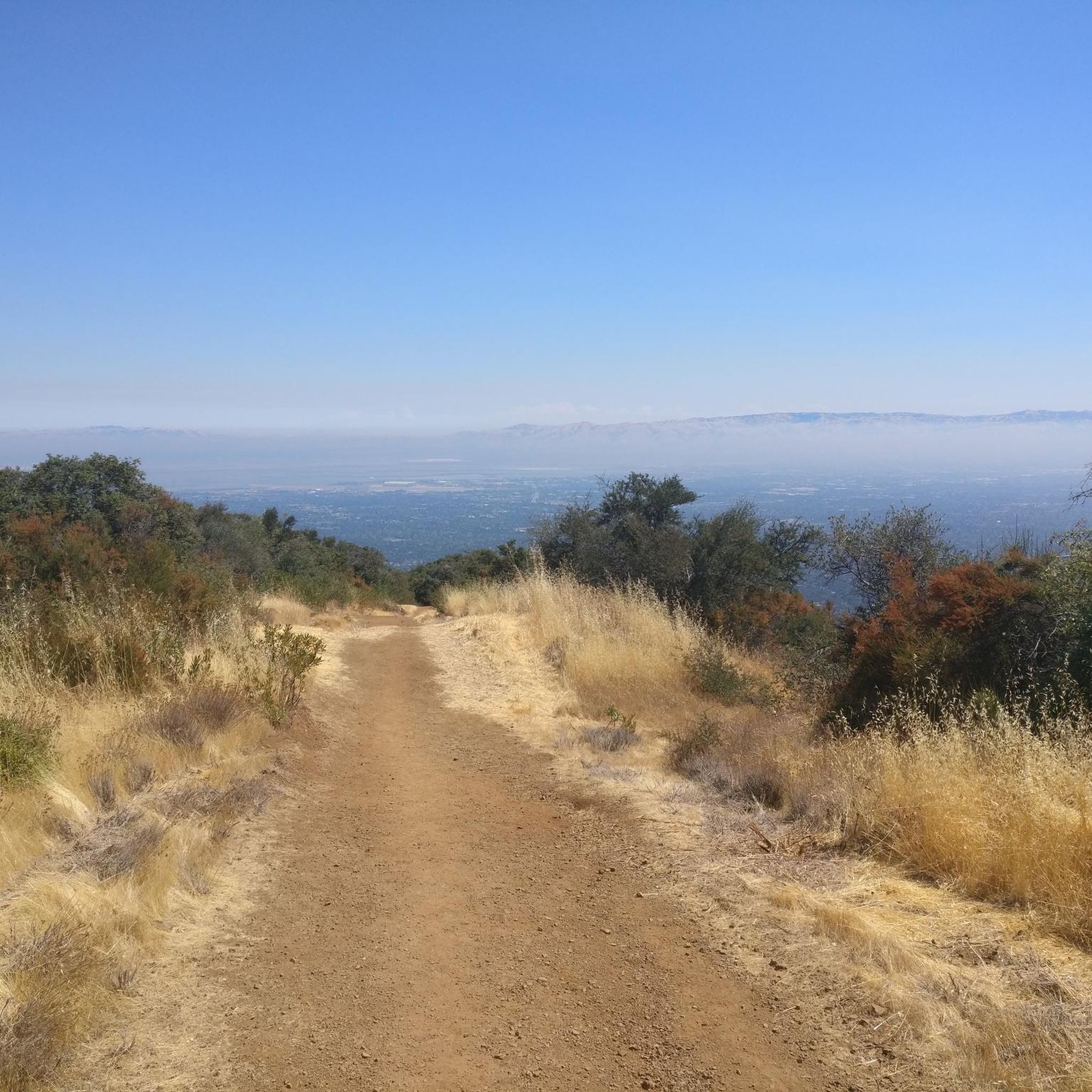
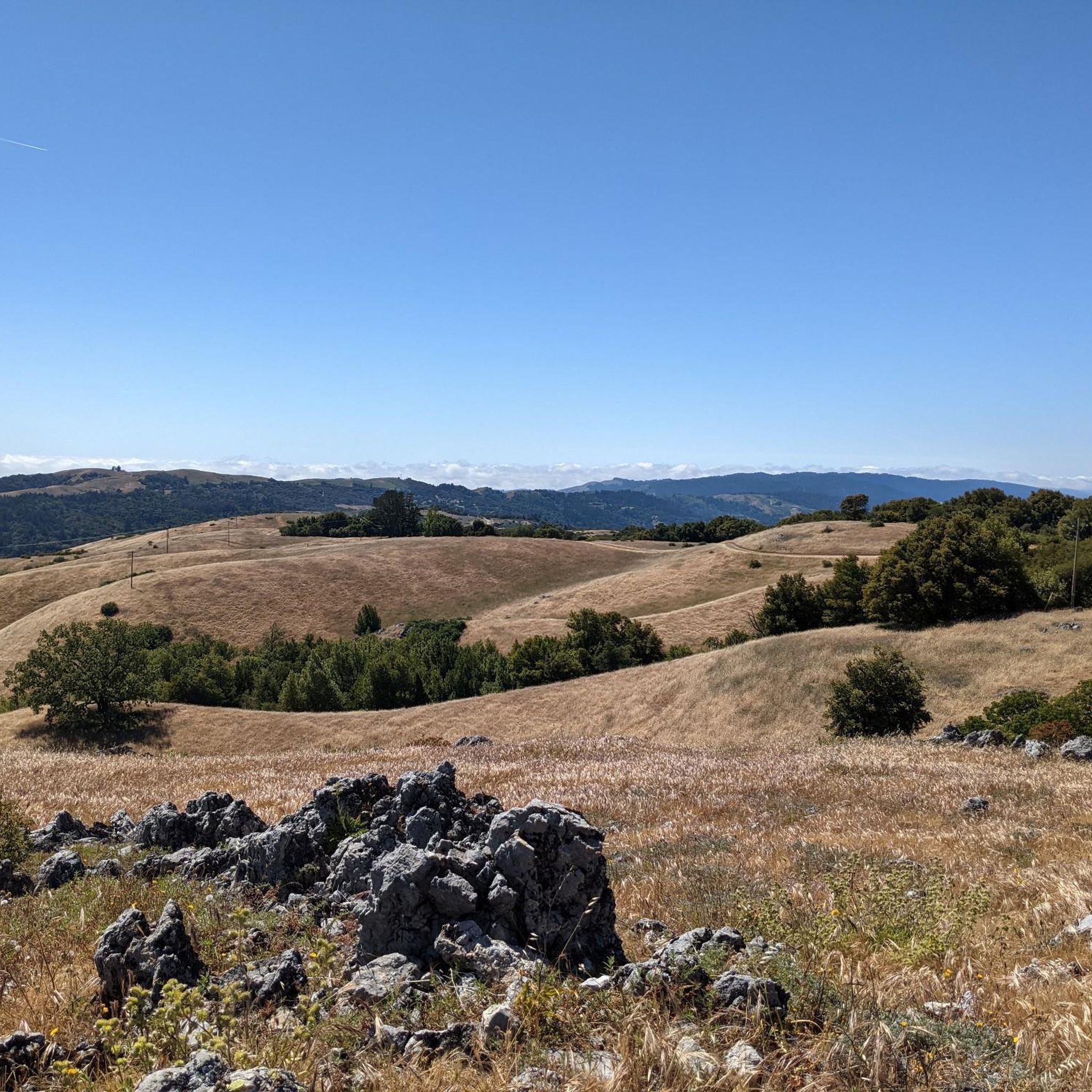
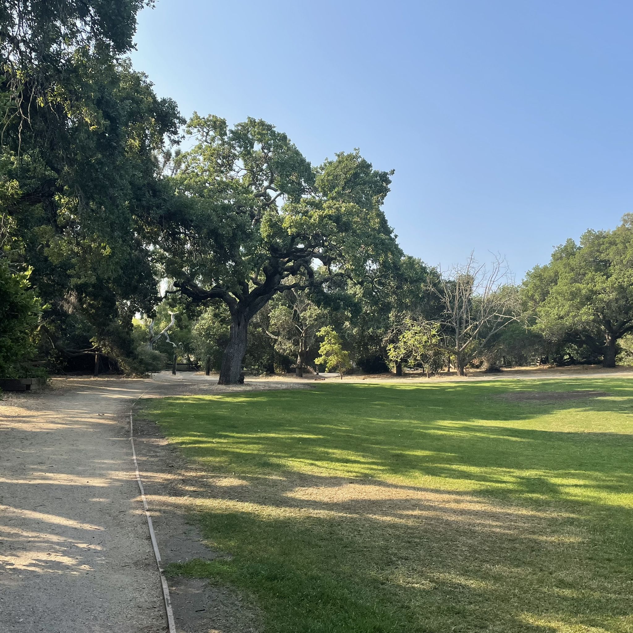
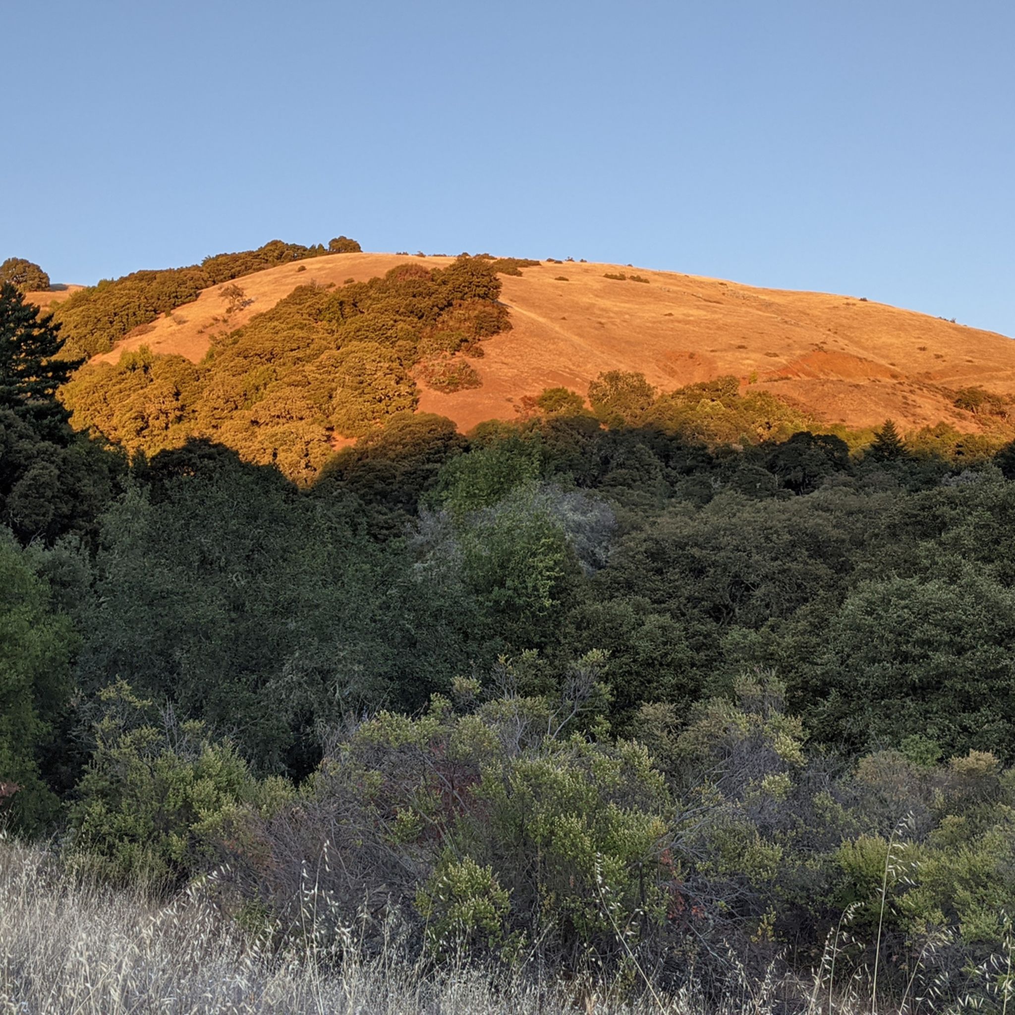
Other adventures around Palo Alto

Tips from the Community

Alise’s Restaurant is a popular spot for both cyclists and motorcyclists. The food is good, the staff is known for being friendly, and the place has a laid-back, welcoming vibe—perfect for a post-ride meal or coffee break.
1
0

This mostly paved bike trail alongside Alpine Road is great for bike commuting — just don't run over any slower trail users! The trail runs all the way from Portola Valley to Stanford, offering some nice shade along the way. The brief moments of unpaved trail are near the Portola Valley end.
0
0

Didn’t OLR used to turn into Dirt before reaching Skyline? Is it all pavement now?? Scott
0
0

Stevens Creek Reservoir spans 87 acres and is surrounded by a 1,063-acre park. Visitors can enjoy hiking, horseback riding, picnicking, and limited fishing. Seasonal boating for low-power boats is available from mid-April to mid-October. The park is open daily from 8 a.m. to sunset, with vehicle entry fees collected year-round at the Chestnut Parking Lot. Visitors can explore natural beauty and historic remnants like the Villa Maria orchard.
1
0

This winding side road is very lightly trafficked and carries you between Stanford and the Palo Alto hills with partial shade the entire way. On the east side of the road you will find Frenchman's Tower, and old brick landmark.
0
0

This fantastic tavern, founded in 1852, is the second oldest in the state. It features a large, beer garden-style outdoor area with plenty of shade. An extensive beer and food menu makes it a perfect stop to enjoy a brew and some great food after a ride.
0
0

The Rodin Sculpture Garden has twenty monumental bronzes, many of which were made by Rodin. The garden is open to the public and was modeled after the Bagatelle Gardens in Paris.
0
0
Great place for a break in a beautiful, peaceful spot among the redwoods. The restaurant is popular with locals, motorcyclists, hikers, and cyclists, and is the perfect place for a cold drink after finishing the climb up.
1
0
Frequently Asked Questions
How many road cycling routes are available around Palo Alto?
Palo Alto offers a diverse network of over 65 road cycling routes. These routes cater to various skill levels, including more than 25 easy options, 20 moderate, and 15 difficult trails, providing ample choice for every cyclist.
What do other road cyclists enjoy most about road cycling in Palo Alto?
The road cycling routes in Palo Alto are highly rated by the komoot community, with an average score of 4.6 stars from over 160 reviews. Cyclists frequently praise the mix of challenging mountain climbs, scenic reservoir loops, and routes through the rolling hills of the Santa Cruz Mountains.
Are there easy road cycling routes in Palo Alto for beginners?
Yes, Palo Alto has over 25 easy road cycling routes suitable for beginners. These routes often feature gentler terrain and less elevation gain, making them ideal for those new to road cycling or looking for a more relaxed ride. While specific easy routes are not highlighted in the intro, the region offers many accessible options.
What are some challenging road cycling routes for experienced riders?
Experienced road cyclists will find plenty of challenging routes in Palo Alto, particularly those ascending into the Santa Cruz Mountains. Notable difficult routes include the Old La Honda & Kings Mountain loop from Palo Alto, a 74.7-mile ride with significant elevation gain, and the Stevens Creek Reservoir Loop, a 40.6-mile path with climbs and descents.
Can I find road cycling routes that are loops around Palo Alto?
Yes, many road cycling routes around Palo Alto are designed as loops, offering a continuous ride without needing to retrace your path. Examples include the popular Old La Honda & Kings Mountain loop from Palo Alto and the Old La Honda & Woodside loop from Palo Alto, which provide varied scenery and terrain.
What kind of terrain can I expect on road cycling routes near Palo Alto?
Road cycling routes near Palo Alto feature a diverse terrain, ranging from rolling hills and scenic valleys to challenging climbs into the Santa Cruz Mountains. You'll encounter routes through redwood forests, past reservoirs, and through rural communities, with significant elevation changes common in the foothills.
What natural attractions can I see while road cycling around Palo Alto?
While road cycling around Palo Alto, you can encounter several natural attractions. Routes often provide views of the Santa Cruz Mountains and pass by reservoirs. Highlights in the broader area include Black Mountain and Windy Hill Summit, offering panoramic views, and even Castle Rock Falls, a beautiful waterfall.
What is the best time of year for road cycling in Palo Alto?
Palo Alto generally offers good road cycling conditions year-round due to its mild climate. Spring and fall are particularly pleasant with moderate temperatures. While winters are mild, occasional rain can occur, so checking weather conditions is always advisable. Summers are typically warm and dry, ideal for early morning or late afternoon rides.
Are there road cycling routes suitable for families in Palo Alto?
While many routes in Palo Alto involve significant climbs, there are easier options that can be more family-friendly, especially those on flatter terrain or within parks. Look for routes described as 'easy' in the guide, which typically have less traffic and gentler gradients, though specific family-focused routes are not detailed here.
Where can I find parking for road cycling routes in Palo Alto?
Parking availability varies by route starting point. Many routes begin near residential areas or public parks in Palo Alto, where street parking or designated parking lots may be available. For routes venturing into the Santa Cruz Mountains, trailheads or open space preserves often have parking facilities, though these can fill up quickly on weekends.
Are there places to stop for refreshments or cafes along the road cycling routes?
Yes, many road cycling routes around Palo Alto pass through or near towns like Woodside and Portola Valley, which offer cafes and small shops for refreshments. The Portola Valley – Rossotti's Alpine Inn loop from Stanford, for example, includes a stop at the historic Alpine Inn, a popular spot for cyclists.
How do road cycling routes in Palo Alto compare to those in Portola Valley?
Road cycling routes in Palo Alto and Portola Valley share similar characteristics, often featuring rolling hills and access to the Santa Cruz Mountains. Portola Valley routes tend to be slightly more rural with less traffic, while Palo Alto routes might offer more direct access to urban amenities before heading into the hills. Both regions provide excellent cycling opportunities with varied terrain.
Most popular routes around Palo Alto
Most popular attractions around Palo Alto

Get inspired with the komoot mobile app


Explore more
Browse the best Road cycling routes in other regions.
