The best traffic-free bike rides in Humboldt-Toiyabe National Forest
5.0
(1)
77
riders
9
rides
No traffic gravel bike trails in Humboldt-Toiyabe National Forest traverse a vast landscape spanning 6.3 million acres across Nevada and eastern California. This region features diverse environments, from towering peaks and alpine lakes to expansive sage steppes and high deserts. The forest encompasses numerous mountain ranges, including the Toiyabe Range and Eastern Sierra Nevada, offering varied terrain for gravel cycling. Riders can expect a mix of wide, quiet roads and more challenging trails, often featuring dirt ribbons and loose rocks.
…Last updated: May 27, 2026
52.5km
06:14
1,380m
1,380m
Hard gravel ride. Very good fitness required. Mostly paved surfaces. Suitable for all skill levels.
11
riders
21.5km
01:49
270m
270m
Moderate gravel ride. Good fitness required. Mostly paved surfaces. Suitable for all skill levels.

Sign up for free
9
riders
27.2km
02:17
280m
280m
Moderate gravel ride. Good fitness required. Mostly paved surfaces. Suitable for all skill levels.
7
riders
Moderate gravel ride. Good fitness required. Mostly paved surfaces. Suitable for all skill levels.
2
riders
36.1km
04:17
930m
930m
Hard gravel ride. Very good fitness required. Mostly paved surfaces. Suitable for all skill levels.
Get access to more routes and recommendations from other explorers.
Sign up for free
Already have an account?
Our route recommendations are based on thousands of hikes, rides, and runs completed by other people on komoot.
Start today with a free account
Your next adventure awaits.
Login or Signup
Popular around Humboldt-Toiyabe National Forest

American Discovery Trail — Walking from sea to shining sea

The tour of your life – music trails on the Pacific coast
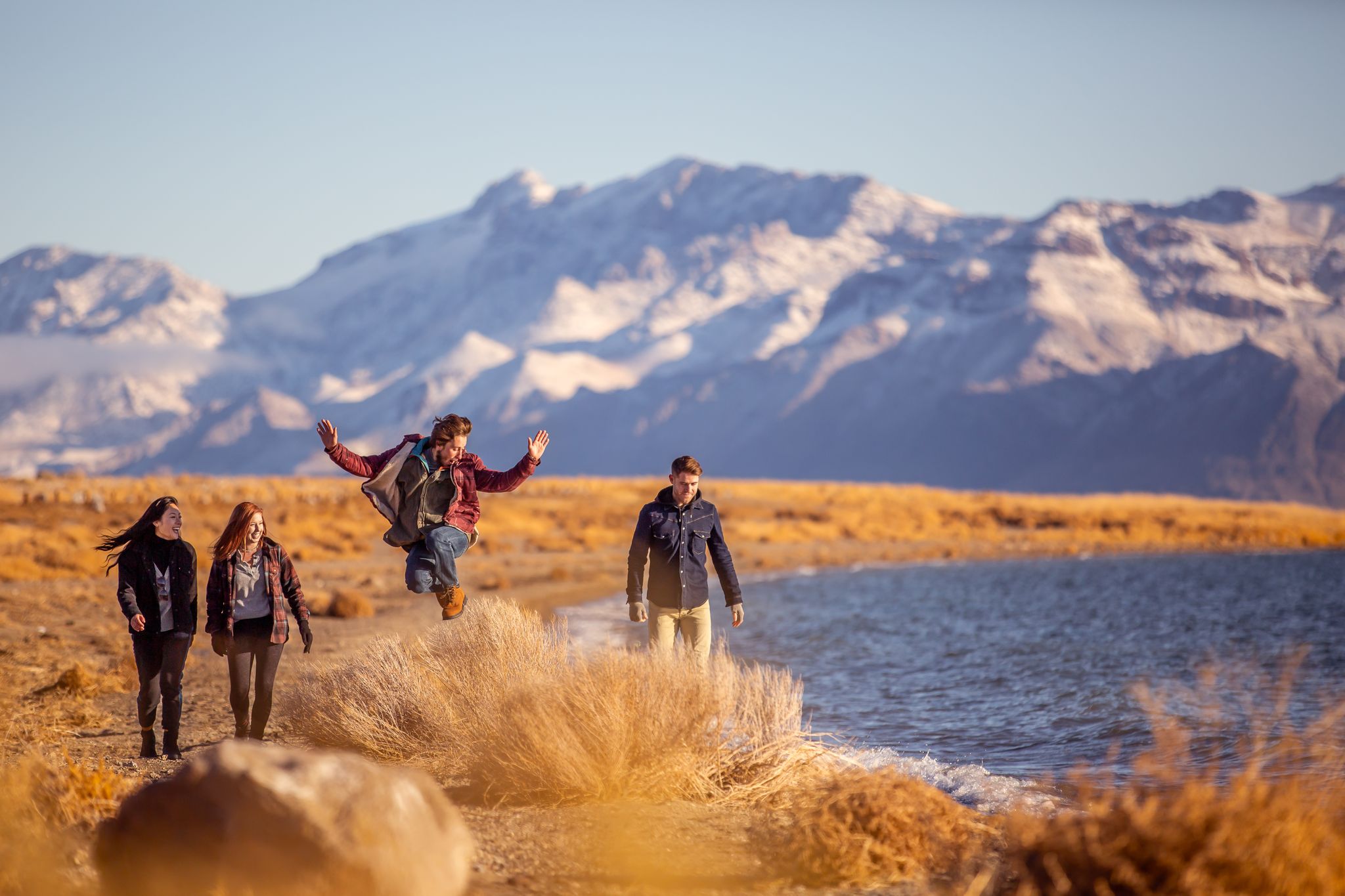
Basecamp Nevada – hiking Tours in the Silver State
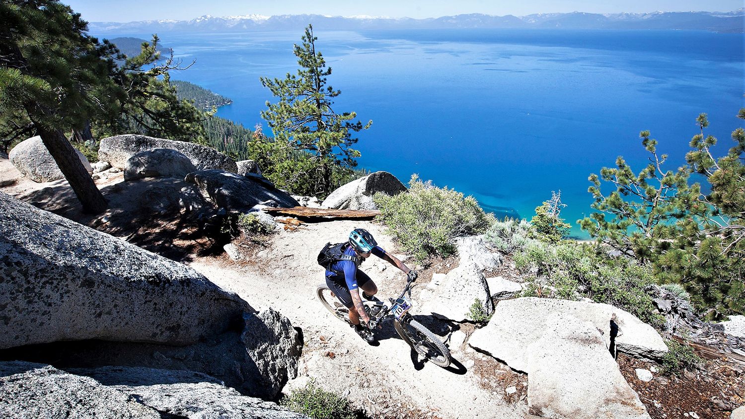
Rocky trails and magical views – MTB Tours in Nevada

Circumnavigating Lake Tahoe in the Sierra Nevada – Tahoe Rim Trail

Unforgettable MTB Adventures – IMBA Epic Trails in USA and Canada

Traffic-free bike rides in Humboldt-Toiyabe National Forest
Traffic-free bike rides in Humboldt-Toiyabe National Forest
Other adventures in Humboldt-Toiyabe National Forest


Tips from the Community

This is a fun, non-technical ride in its own right, and also an access route for the Capital to Tahoe Trail. Actually, it's arguably the longest access route — but it comes with the bonus of being able to bike straight to Lake Tahoe from urban Carson City.
0
0
Expect access to Marlette Lake to be pretty much nonexistent through 2026, as the nearby trails are closed for repairs at the Marlette Lake dam. You can get closure updates from Nevada State Parks: https://parks.nv.gov/news/trail-closures-at-spooner-lake-state-park-backcountry-for-marlette-dam-repairs
1
0
This forest service road is a popular approach route to Marlette Lake, but it's expected to be closed through 2026 for repairs to the Marlette Lake dam. Until this trail reopens, the Capital to Tahoe Trail is a good riding alternative in the area. You can get updates on the trail closure at Nevada State Parks: https://parks.nv.gov/news/trail-closures-at-spooner-lake-state-park-backcountry-for-marlette-dam-repairs
0
0

If you need a stop to refuel your energy levels, this is the spot for you. Enjoy the idyll and tranquility that you will find here.
1
0

Really cool bridge across the Truckee river. There's picnic tables just off the bridge in a nice shaded area. You can access the river here as well which is a great way to cool off in the summer. The colors in the fall are stunning as well!
1
0
This popular riverside park has a wide paved path, river access, and many more trails across the river leading to Steamboat Ditch & beyond. Mayberry Park also lies along the Tahoe to Pyramid Cycleway which connects the two lakes while mostly paralleling the Truckee River.
0
0
The Southwest corner of Reno is built into the side of the foothills of the surrounding mountains. Due to this unique topography you can escape the city while still being surrounded by it. The Steamboat Ditch Trail runs for dozens of miles across south Reno, and provides access to a wonderful stretch of trails that go from neighborhood to neighborhood by snaking along the edges of the many gorges, gulleys, and canyons.
0
0

The Capital to Tahoe Trail is a brandnew single-track trail that was opened in July 2023. Over 16 miles, it connects Carson City to Tahoe and serves for mountain bikers, hikers and equestrians.
2
0
Frequently Asked Questions
How many no-traffic gravel bike trails are available in Humboldt-Toiyabe National Forest?
There are 9 dedicated no-traffic gravel bike trails in the Humboldt-Toiyabe National Forest featured in this guide. These routes offer a range of experiences, from moderate to difficult, ensuring a suitable ride for various skill levels.
What kind of terrain can I expect on gravel bike trails in Humboldt-Toiyabe National Forest?
The Humboldt-Toiyabe National Forest offers diverse terrain for gravel biking. You'll encounter everything from wide, quiet roads to more challenging trails with dirt ribbons and loose rocks, especially in higher elevations. The landscape varies from expansive sage steppes and high deserts to towering peaks and alpine lakes, providing varied and scenic routes.
Are there any family-friendly no-traffic gravel routes in the Humboldt-Toiyabe National Forest?
While many routes in this guide are rated moderate to difficult, some sections or shorter loops might be suitable for families with older children or those comfortable with varied terrain. For a moderately challenging option, consider the Steamboat Ditch Trail – Steamboat Ditch Trail loop from Caughlin Ranch, which offers a 21.5 km ride with manageable elevation.
What are the best times of year to go gravel biking in Humboldt-Toiyabe National Forest?
The best time for gravel biking largely depends on the elevation. Lower elevation trails are often accessible in spring and fall, while higher mountain routes are best enjoyed from late spring through early fall to avoid snow and ice. October is particularly vibrant in areas with aspen groves, offering stunning fall colors.
What kind of landmarks or scenic viewpoints can I expect along the trails?
The Humboldt-Toiyabe National Forest is rich in natural beauty. You can expect stunning views of diverse mountain ranges, expansive sage steppes, and high deserts. Notable viewpoints include Mount Rose Summit. Some routes, like the Marlette Flume and Tahoe Rim Trail Loop, offer epic views, especially around the Lake Tahoe Basin.
Are there any waterfalls or significant natural features to see near the gravel biking routes?
Yes, the forest is home to beautiful natural features. You can find several waterfalls, such as Galena Creek Falls, located along the Tahoe Rim Trail near Mount Rose Summit, and Hunter's Creek Waterfall. The region also boasts sparkling mountain streams and glacial lakes, particularly in districts like the Bridgeport Ranger District and the Virginia Lakes Basin.
What is the overall difficulty level of the no-traffic gravel bike trails in this region?
The no-traffic gravel bike trails in Humboldt-Toiyabe National Forest range from moderate to difficult. This guide features 4 moderate and 5 difficult routes. Trails like the Capital to Tahoe Trail and the Marlette Flume and Tahoe Rim Trail Loop are classified as difficult, involving significant elevation changes and varied surfaces.
Are dogs allowed on the gravel biking trails in Humboldt-Toiyabe National Forest?
Generally, dogs are permitted on trails within the Humboldt-Toiyabe National Forest, but it's crucial to check specific regulations for each trail or wilderness area. Always keep your dog on a leash and practice Leave No Trace principles to protect wildlife and ensure a pleasant experience for all users.
What do other gravel bikers enjoy most about riding in Humboldt-Toiyabe National Forest?
The area is highly rated by the komoot community, with an average score of 5.0 stars. Reviewers often praise the immense size and diverse landscapes, the extensive network of quiet roads and trails, and the stunning natural beauty, including alpine lakes and mountain views, that make for an exceptional outdoor experience.
Is public transport available to access gravel biking trails in the Humboldt-Toiyabe National Forest?
Public transport options directly into the more remote parts of the Humboldt-Toiyabe National Forest are limited. Access points are typically reached by car, with parking available near trailheads. It's advisable to plan your route and check for specific access information for your chosen starting point.
Are there any permits required for gravel cycling in Humboldt-Toiyabe National Forest?
For general gravel cycling on roads and designated trails, permits are typically not required. However, if your route enters specific wilderness areas, or if you plan to camp overnight, special permits may be necessary. Always check the official Humboldt-Toiyabe National Forest website or local ranger district for the most current regulations before your trip.
Can I find amenities like cafes or accommodation near the gravel biking trails?
While the forest itself is largely undeveloped, towns and communities bordering the Humboldt-Toiyabe National Forest, such as those near Lake Tahoe or Reno, offer various amenities including cafes, restaurants, and accommodation. Planning your route to start or end near these towns can provide convenient access to services.
Most popular routes in Humboldt-Toiyabe National Forest
Most popular attractions in Humboldt-Toiyabe National Forest

Get inspired with the komoot mobile app


Explore more
Browse the best Gravel rides in other regions.
