The best walks and hikes in Humboldt-Toiyabe National Forest
4.7
(493)
7,884
hikers
256
hikes
Hiking in Humboldt-Toiyabe National Forest offers diverse landscapes across its vast 6.3 million acres, spanning Nevada and eastern California. The region features environments ranging from towering snow-capped mountain ranges and alpine peaks to expansive high desert and sage steppes. Elevations vary dramatically from approximately 4,000 feet to over 12,000 feet, fostering a wide array of ecosystems. This extensive network provides a variety of natural features for hikers, including glacial lakes, canyons, and numerous wilderness areas.
Best hiking trails in Humboldt-Toiyabe National Forest
- The most popular hiking route is Castle Lake Loop, a 9.6 miles (15.5 km) trail that takes 5 hours 6 minutes to complete. This difficult route features significant elevation gain around a scenic lake.
- Another top favourite among local hikers is Kings Canyon Upper Waterfall Loop, a moderate 4.4 miles (7.1 km) path. This trail leads through varied terrain with a notable waterfall feature.
- Local hikers also love the Barney Lake via Robinson Creek Trail, a 4.2 miles (6.8 km) trail leading through alpine scenery, often completed in about 2 hours 2 minutes.
- Hiking in Humboldt-Toiyabe National Forest is defined by vast mountain ranges, pristine wilderness areas, and varied ecosystems, from desert to alpine. The extensive network offers options for easy, moderate, and difficult ability levels.
- The routes in Humboldt-Toiyabe National Forest are highly rated by the komoot community with an average score of 4.7 stars from over 400 reviews. More than 7000 hikers have used komoot to explore Humboldt-Toiyabe National Forest's varied terrain.
Last updated: October 11, 2026
5.0
(2)
16
hikers
5.79km
01:45
180m
190m
The Escarpment Trail Loop offers a refreshing and accessible hike through the Spring Mountains near Mount Charleston. This easy 3.6-mile (5.8 km) loop, with its 603 feet (184 metres) of elevation gain, provides a pleasant walk that you can comfortably complete in about 1 hour and 44 minutes. It's a great way to experience the local flora and fauna without committing to a strenuous all-day adventure, perfect for a quick escape into nature.
Parking is generally available at or near the Spring Mountains Visitor Gateway, making trailhead access simple. This route is ideal for a morning or afternoon outing, especially if you're looking for a family-friendly option or a gentle warm-up for more challenging trails in the area. Remember to bring plenty of water, as the desert environment can be quite dry, even at higher elevations.
While not as rugged as some of the more famous Catskills trails that share its name, this Nevada version of the Escarpment Trail Loop provides a valuable connection to the natural beauty of the Spring Mountains National Recreation Area. It's a notable option for beginners or those seeking a less demanding experience, offering a glimpse into the unique high-desert ecosystem surrounding Mount Charleston.
4.3
(3)
16
hikers
7.09km
02:19
310m
310m
Embark on the Kings Canyon Upper Waterfall Loop, a moderate hike spanning 4.4 miles (7.1 km) with a rewarding 1021 feet (311 metres) of elevation gain. This route, typically completed in about 2 hours and 19 minutes, guides you from dirt roads to winding single-track paths. You will traverse sagebrush slopes offering expansive views of Carson City, the Virginia Range, and Washoe Lake. The highlight is reaching the upper waterfall, tucked away in denser tree cover, where you can cross a charming wooden bridge directly above it. In late spring, the old Borda Ranch Meadows transform into a vibrant display of wildflowers.
Before you set out, be aware that conditions near the upper waterfall can be icy or snowy during winter and early spring; consider bringing appropriate gear like spikes or snowshoes and poles. It is important to note that dogs are not allowed on this trail, as it helps protect Carson City's drinking water supply. Always carry enough food and water for your hike, particularly on warm summer afternoons when parts of the route offer limited shade. Starting your hike earlier in the day during warmer months can help you avoid the midday heat. Plan your visit accordingly to ensure a safe and enjoyable experience.
This loop is nestled within the vast Humboldt-Toiyabe National Forest, offering a glimpse into the diverse ecosystems of the region. The trail's progression from open sagebrush to denser tree cover around the waterfall showcases the varied natural beauty. The views extending over Carson City and Washoe Lake provide a unique perspective on the landscape. It is a popular choice for those seeking a moderate challenge with scenic rewards close to urban areas.

12
hikers
15.5km
05:06
850m
580m
Embark on the challenging Castle Lake Loop, a demanding high-alpine hike that covers 9.6 miles (15.5 km) through the rugged Ruby Mountains. You will ascend a significant 2779 feet (847 metres) in elevation, with the route typically taking around 5 hours and 5 minutes to complete. Expect to traverse natural, unpaved paths, some with steep sections, as you pass pristine glacial tarns like Castle Lake, nestled at 9,793 feet, and enjoy sweeping vistas of dramatic cliffs and U-shaped valleys.
When planning your visit, be mindful of the high altitude; altitude sickness can be a concern if you are not acclimatized. Some parts of the trail, especially those leading directly to Castle Lake, are steep and may not be maintained. Always check local weather conditions before heading out, as mountain weather can change rapidly and impact your experience.
This loop offers a true high-alpine adventure, guiding you through landscapes sculpted by ancient glaciers within the Ruby Mountains Wilderness. Beyond Castle Lake, you will encounter other notable bodies of water such as Dollar Lakes and Lamoille Lake. The serene atmosphere and unique geological features make this a popular destination for experienced hikers seeking tranquility and a profound connection with nature.
5.0
(1)
10
hikers
4.30km
01:34
410m
0m
The Echo Overlook Trail offers a demanding yet rewarding hiking experience, guiding you through a beautiful mixed Pine-Fir Forest that provides a refreshing contrast to the arid Nevada landscape. As you ascend, you'll navigate steep grades and natural stone stairs, eventually reaching the Echo Overlook. From this vantage point, you're treated to panoramic vistas of Kyle Canyon and the eastern desert, with prominent peaks like Cathedral Rock, Mount Charleston, and Mummy Mountain visible in the distance.
This moderate 2.7-mile (4.3 km) hike involves a significant 1350 feet (411 metres) of elevation gain, typically taking about 1 hours and 34 minutes. It's a challenging workout, often described as a "lung buster" due to the altitude, and the steep, gravelly descent requires careful footing. The trail is accessible from the Cathedral Rock Trailhead, but be aware that snow can linger in sections even into summer, so layering clothing is essential.
Considered an excellent "trial hike" for those aiming for longer, more strenuous treks to Mount Charleston or Griffith Peak, the Echo Overlook Trail provides a similar physical challenge without a summit. You might even spot Mule Deer or various bird species along the way. The route also passes through areas of the 2013 Carpenter 1 burn zone, where young Ponderosa Pines are reclaiming the habitat, offering unique, expansive views.
8
hikers
15.3km
05:44
630m
640m
The Relay Peak Loop offers a captivating journey through diverse terrain, from wildflower-filled meadows to dense pine forests, culminating in open alpine ridges. As you ascend, you'll be treated to stunning panoramic views of Lake Tahoe and distant peaks, with the summit of Relay Peak providing some of the most expansive vistas in the region. This trail is a fantastic choice if you're seeking a challenging yet rewarding experience in the Tahoe area.
Planning your visit means preparing for a difficult 9.5-mile (15.3 km) hike with 2079 feet (634 metres) of elevation gain, typically taking around 5 hours and 43 minutes. While specific parking details for the Relay Peak Loop trailhead aren't always prominent, arriving early is a good strategy, especially during peak season. Always check current trail conditions and weather forecasts before heading out, as the higher elevations can be exposed.
Relay Peak holds the distinction of being the highest point along the entire 165-mile Tahoe Rim Trail, reaching 10,338 feet. This makes it a notable destination for experienced hikers looking to conquer a significant peak. It also offers a less crowded alternative to other popular summits, allowing for a more solitary experience amidst the magnificent scenery of the Humboldt-Toiyabe National Forest.
Get access to more routes and recommendations from other explorers.
Already have an account?
Our route recommendations are based on thousands of hikes, rides, and runs completed by other people on komoot.
Start today with a free account
Your next adventure awaits.
Popular around Humboldt-Toiyabe National Forest

American Discovery Trail — Walking from sea to shining sea

The tour of your life – music trails on the Pacific coast
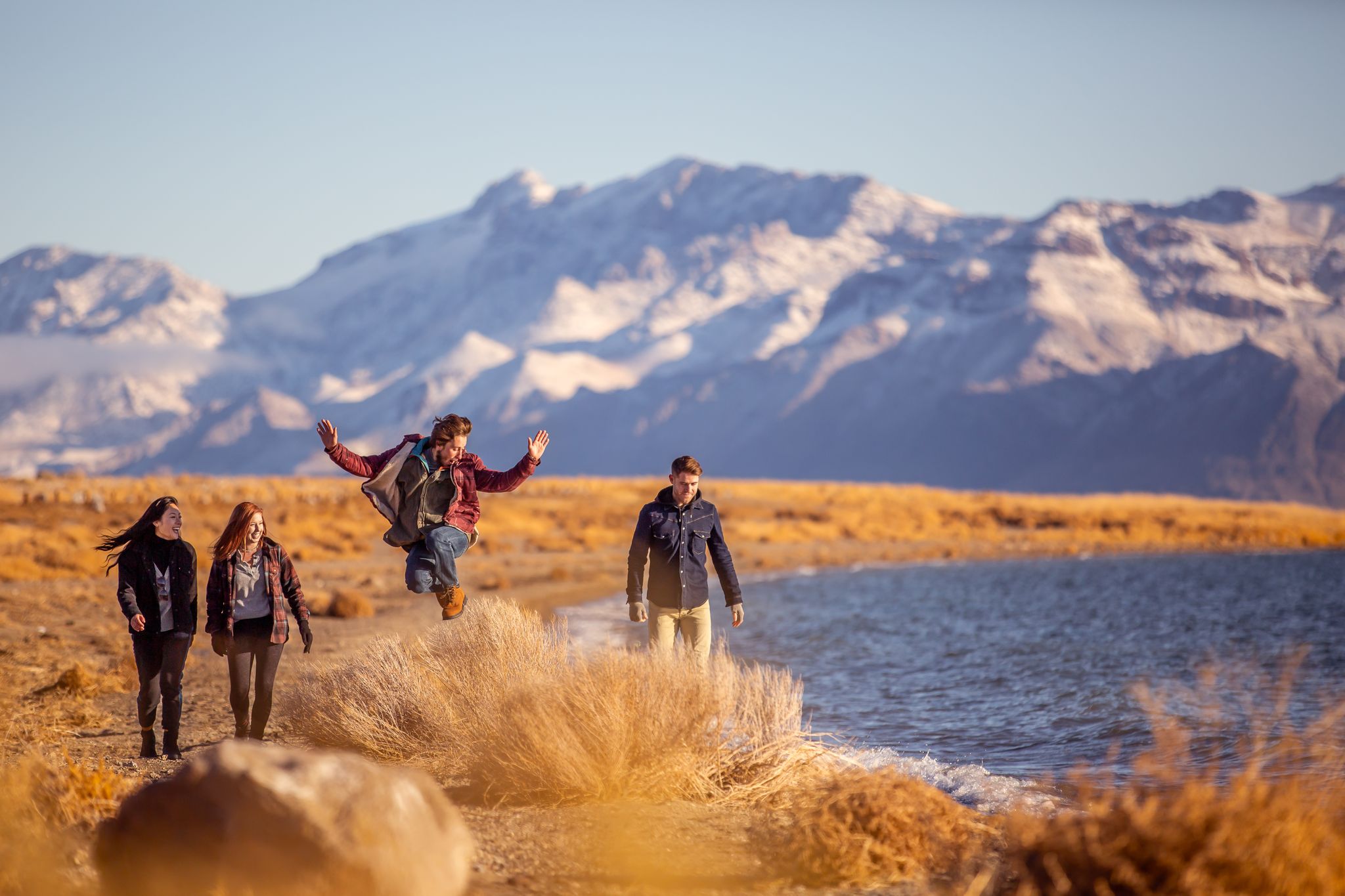
Basecamp Nevada – hiking Tours in the Silver State

Circumnavigating Lake Tahoe in the Sierra Nevada – Tahoe Rim Trail
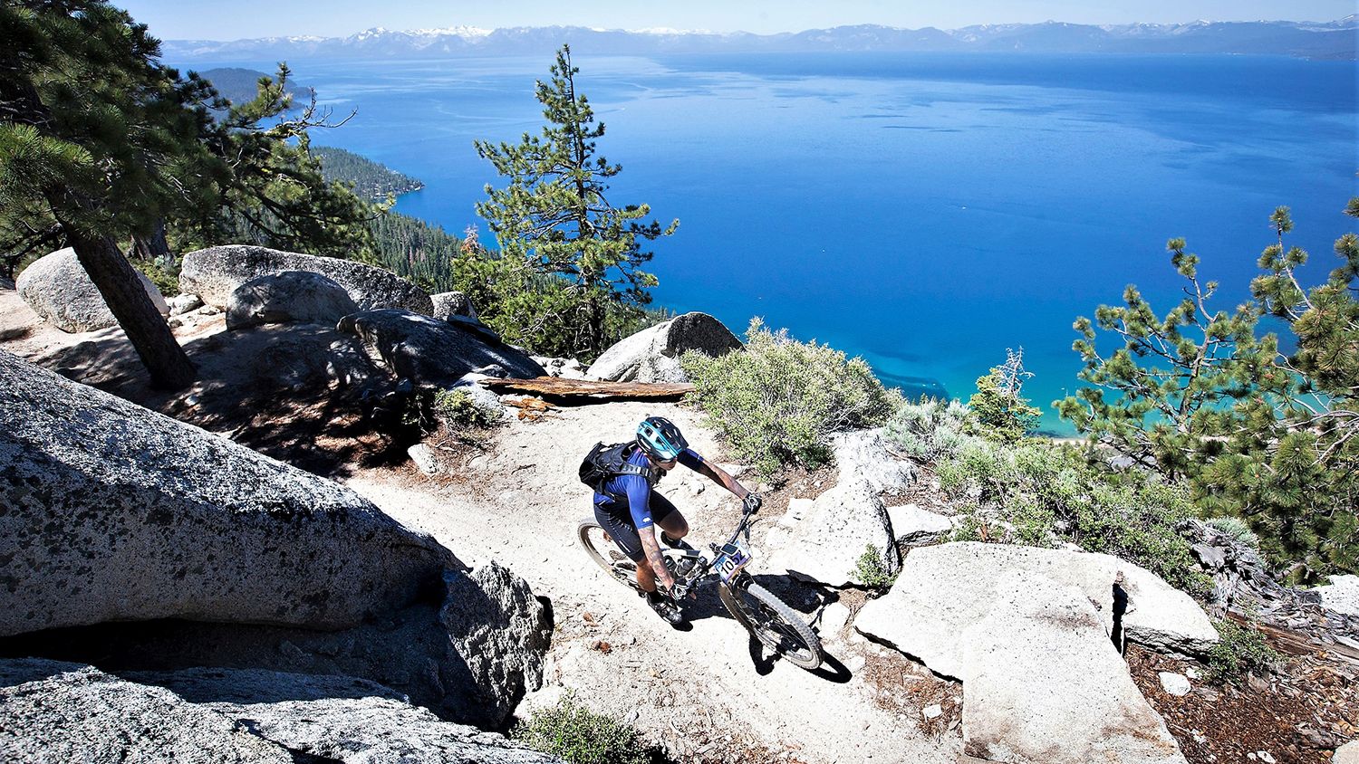
Rocky trails and magical views – MTB Tours in Nevada

Unforgettable MTB Adventures – IMBA Epic Trails in USA and Canada
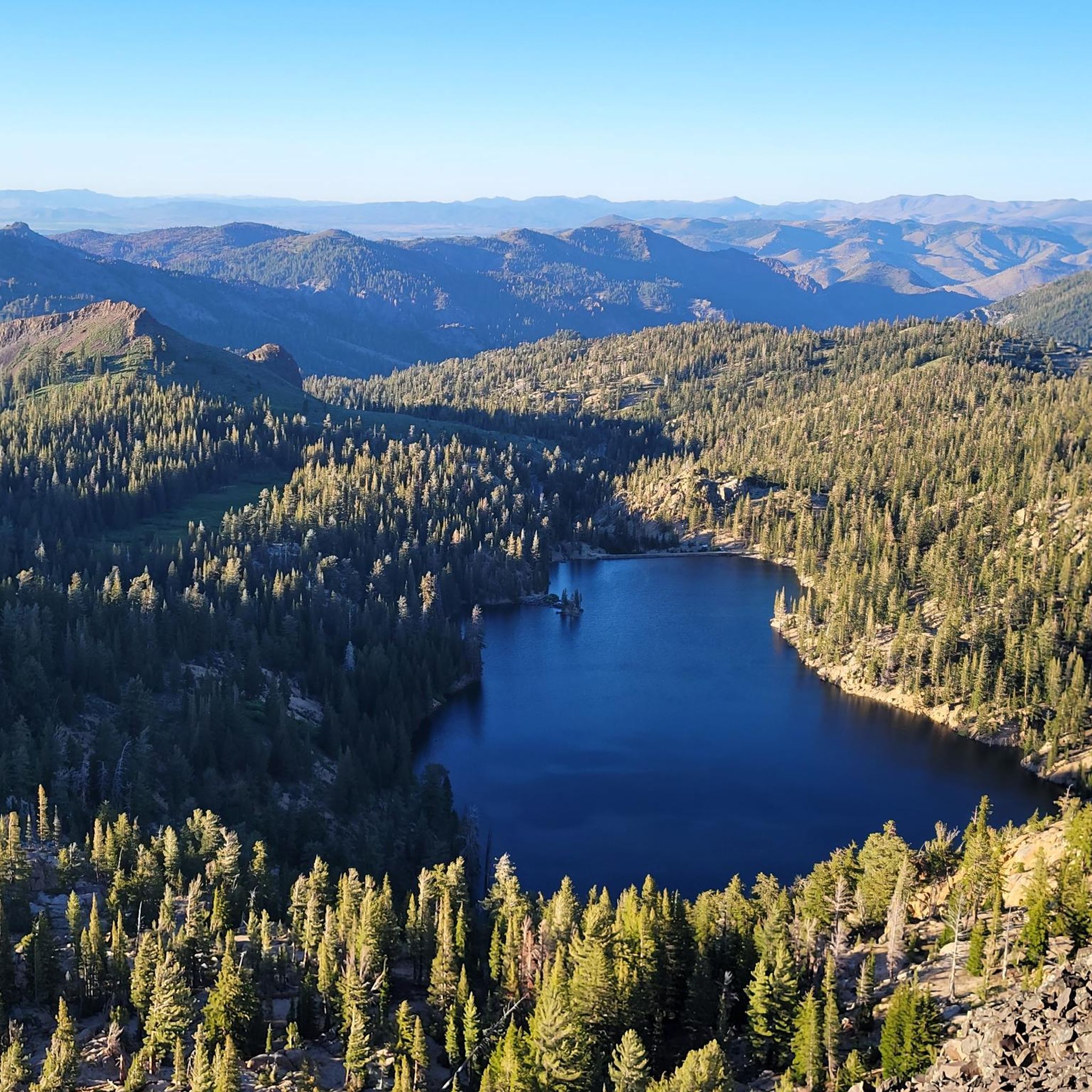
Road Cycling Routes in Humboldt-Toiyabe National Forest
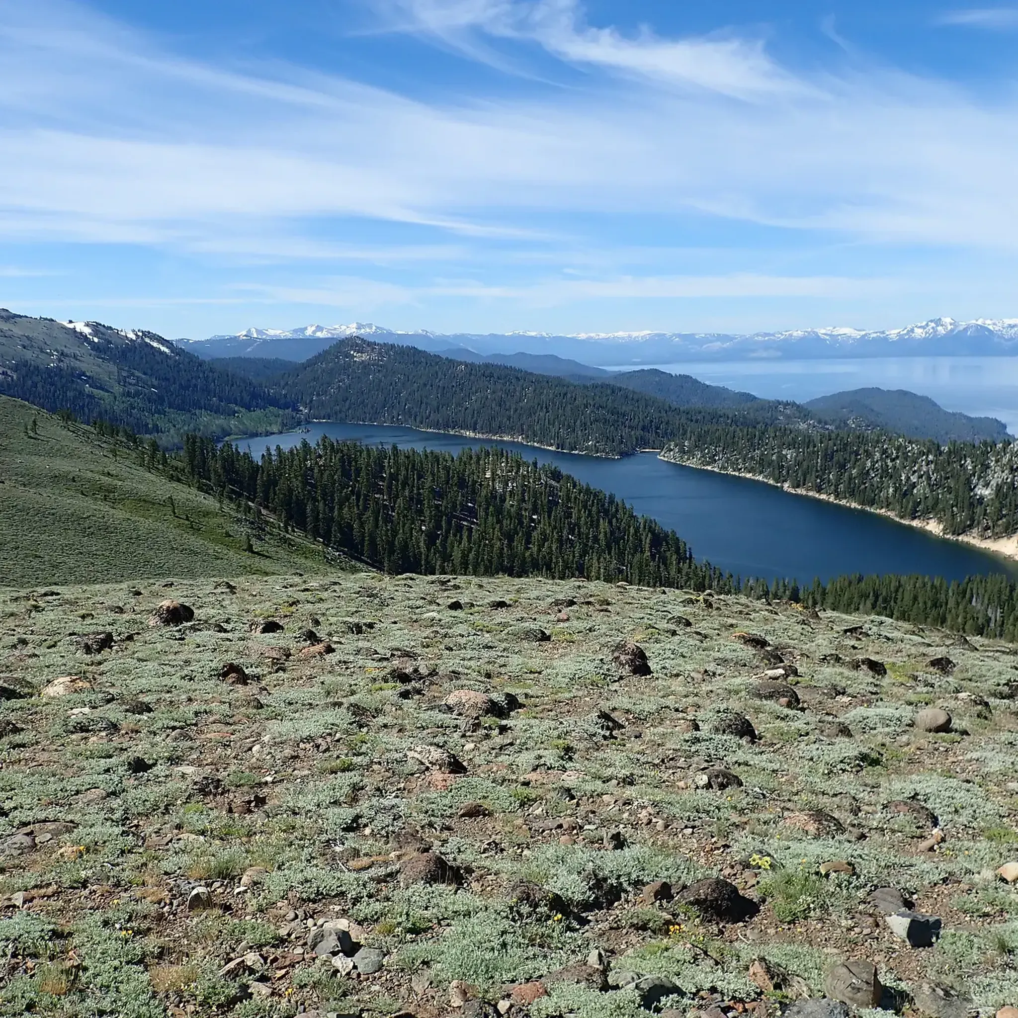
MTB Trails in Humboldt-Toiyabe National Forest
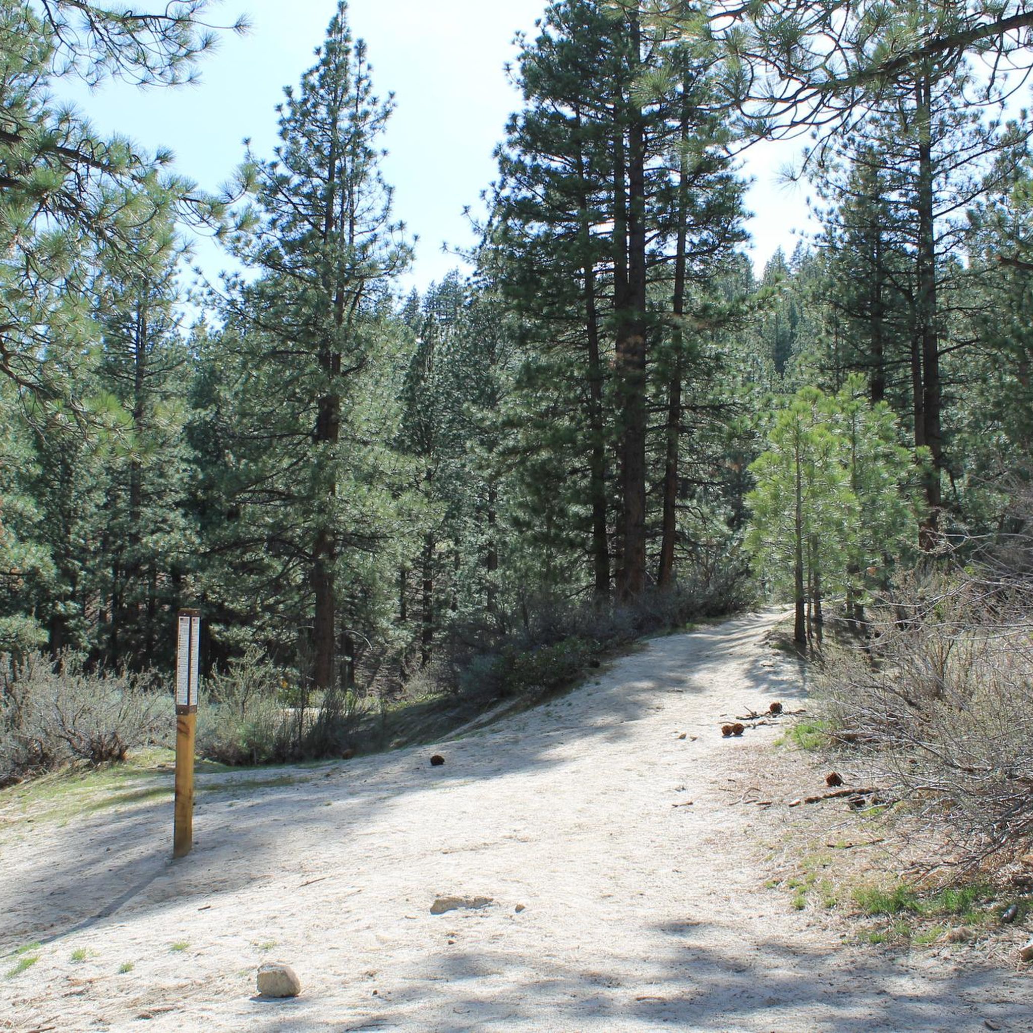
Running Trails in Humboldt-Toiyabe National Forest
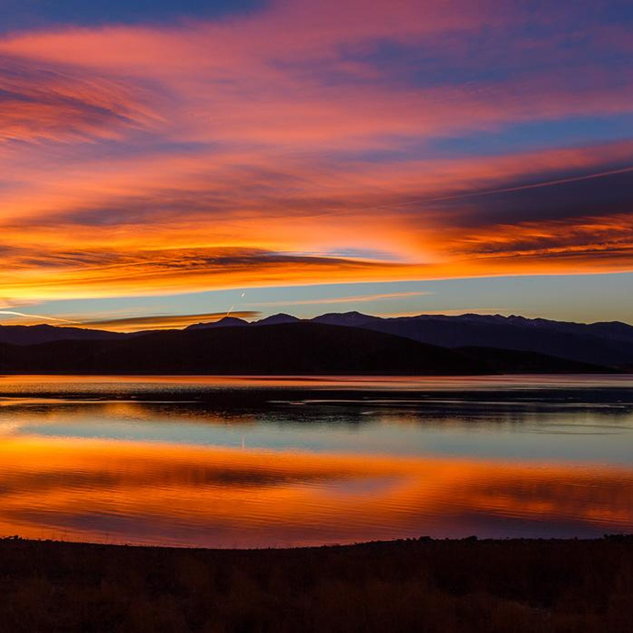
Cycling in Humboldt-Toiyabe National Forest
Other adventures in Humboldt-Toiyabe National Forest


Tips from the Community

Moderate hike with plenty of views and chance of wildlife
0
0

The Spring Mountains Visitor Gateway has a large parking lot and a visitor center with bathrooms and water faucets. Several hiking and MTB routes can be accessed from here. Sometimes wild horses and donkeys can be seen in this area (do not feed).
0
0

This picturesque pond sits near the junction of a number of trails. Which makes it a good spot to have a drink and a rest before continuing on your ride.
0
0

Kings Canyon Waterfalls is a popular destination close to Carson City. Enjoy the cool water of the rushing falls along with a great view over Carson City below you. If you follow the single trail just south of here, you can get higher and closer to the falls.
2
0

At 10,335 feet, Relay Peak belongs to the highest summits in the Lake Tahoe Basin and is the highest point on the Tahoe Rim Trail. Compared to its surrounding peaks, Relay Peak is rather easy to reach but still offers amazing views of the surrounding area and Lake Tahoe.
1
0
At the corner of the Forest Development Road and Rim to Rose / Third Creek Pond Trails, you will find this pond with the same name as the trail. If you're just returning from the summit of Mount Rose or some other hike, this might be a nice spot to take a little break and get ready for the way down. Otherwise, prepare yourself for the last part of your mountain climb!
0
0
Frequently Asked Questions
How many hiking trails are available in Humboldt-Toiyabe National Forest?
Humboldt-Toiyabe National Forest offers a vast network of trails, with over 160 hiking routes documented on komoot. These range from easy strolls to challenging multi-day treks, catering to all experience levels.
Are there easy hiking trails suitable for beginners or families?
Yes, Humboldt-Toiyabe National Forest has numerous easy trails. For instance, the Fletcher Canyon trail in Kyle Canyon is an easy option. The forest's diverse terrain includes many accessible paths, such as the 1.7-mile Acastus Trail in Kyle Canyon, perfect for a relaxed outing.
What kind of terrain and elevation can I expect on hikes in Humboldt-Toiyabe National Forest?
The forest features incredibly diverse terrain, from semi-arid Great Basin desert landscapes to alpine regions. Elevations range dramatically from 4,000 feet to over 12,000 feet, encompassing towering snow-capped summits and expansive valleys. You can expect varied conditions, including lush aspen canyons, deep narrow canyons, and high-altitude vistas.
Are there any notable waterfalls or natural features to see along the trails?
Absolutely. The forest is home to several beautiful waterfalls and natural features. You can visit Galena Creek Falls, Hunter's Creek Waterfall, Mummy Spring, and Mary Jane Falls. Additionally, the Fletcher Canyon Narrows offer a unique geological experience.
What do other hikers enjoy most about hiking in Humboldt-Toiyabe National Forest?
The area is highly rated by the komoot community, with an average score of 4.7 stars from over 100 reviews. Hikers frequently praise the stunning natural beauty, the variety of landscapes from desert to alpine, and the opportunities for solitude in its vast wilderness areas. The extensive trail network also allows for diverse experiences, from challenging peak ascents to serene walks.
Are there any challenging hikes for experienced trekkers?
Yes, the Humboldt-Toiyabe National Forest offers several challenging routes. The Mount Rose Peak via Tahoe Rim Trail is a difficult 10.9-mile trek with significant elevation gain, offering panoramic views. Another demanding option is the Griffith Peak via the South Loop Trail, which ascends to nearly 10,000 feet.
When is the best time of year to go hiking in Humboldt-Toiyabe National Forest?
Due to its vast size and diverse elevations, the best time to visit varies. Lower elevation trails and desert areas are often pleasant in spring and fall. Higher mountain trails, especially those above 8,000 feet, are typically best from late spring through early fall (June to September) when snow has melted and temperatures are milder. Winter offers opportunities for snowshoeing and cross-country skiing in certain areas.
Are there any trails that feature significant mountain peaks or viewpoints?
Many trails lead to impressive peaks and offer stunning viewpoints. The Mount Rose Peak via Tahoe Rim Trail culminates at Mount Rose Summit View, the highest peak in Washoe County. Other notable peaks in the forest include Mount Charleston and Mount Jefferson, offering expansive vistas across the landscape.
Can I find trails with water features like lakes or rivers?
Yes, the forest is dotted with crystalline alpine lakes and traversed by rivers and creeks. You can discover scenic spots like Emma Lake and Anna Lake, and enjoy the natural beauty of waterways such as Washington Creek and the Reese River. Trails often follow these water sources, providing refreshing scenery.
What kind of wildlife might I encounter while hiking?
The diverse ecosystems of Humboldt-Toiyabe National Forest support a variety of wildlife. Depending on the elevation and habitat, you might spot mule deer, bighorn sheep, various bird species, and smaller mammals. Always maintain a respectful distance and store food properly to protect both yourself and the animals.
Are there any trails that offer a good chance to see unique flora, like ancient trees?
Yes, the forest is known for its unique flora, particularly the ancient Great Basin Bristlecone Pines. These remarkable trees, some thousands of years old, can be found in specific high-elevation areas, such as the Snake Range. Hiking in these regions offers a chance to witness these living relics.
What are some popular areas within the Humboldt-Toiyabe National Forest for hiking?
Popular areas include the Mount Rose Wilderness, known for trails like Hunter's Creek Waterfall from Donner Springs, and the Spring Mountains National Recreation Area near Las Vegas, which features routes such as Cathedral Rock and Little Falls. These areas offer a good mix of scenery and trail difficulty.
Most popular routes in Humboldt-Toiyabe National Forest
Most popular attractions in Humboldt-Toiyabe National Forest

Get inspired with the komoot mobile app


Explore more
Browse the best Hikes in other regions.
