The best MTB trails in Humboldt-Toiyabe National Forest
4.7
(37)
713
riders
65
rides
Mountain biking in Humboldt-Toiyabe National Forest offers diverse terrain across 6.3 million acres, ranging from high elevation deserts to snow-capped peaks. The landscape features numerous mountain ranges, including the Ruby Mountains and Sierra Nevada, with elevations reaching over 12,000 feet. Riders can expect varied environments, from sage steppes and pine forests to glacial lakes and rugged, glacier-carved valleys. This vast area provides extensive trail systems suitable for a wide range of mountain biking experiences.
Best mountain bike trails in Humboldt-Toiyabe National Forest
- The most popular mountain bike trail is Tahoe Rim and Flume Trail Loop, a 36.7 miles (59.0 km) trail that takes 5 hours 59 minutes to complete. This difficult route offers expansive views of Lake Tahoe and challenging sections.
- Another top favourite among local mountain bikers is Tahoe Rim and Incline Flume Trail Loop, a moderate 20.0 miles (32.2 km) path. It provides diverse landscapes and vistas of Lake Tahoe and Marlette Lake.
- Local mountain bikers also love the Peavine Trail Network Loop, a 17.6 miles (28.4 km) trail leading through varied terrain, often completed in about 2 hours 56 minutes.
- Mountain biking in Humboldt-Toiyabe National Forest is defined by snow-capped peaks, high elevation deserts, and pine forests. The network offers options for different ability levels, from wide roads for beginners to arduous trails for advanced riders.
- The routes in Humboldt-Toiyabe National Forest are highly rated by the komoot community with an average score of 4.7 stars from over 20 reviews. More than 700 mountain bikers have used komoot to explore Humboldt-Toiyabe National Forest's varied terrain.
Last updated: May 10, 2026
5.0
(1)
91
riders
59.0km
05:59
1,350m
1,350m
Embark on the Tahoe Rim and Flume Trail Loop, a difficult mountain biking adventure spanning 36.7 miles (59.0 km) with a significant 4443 feet (1354 metres) of elevation gain. This challenging route, which you can expect to complete in just under 6 hours, takes you through towering pines and quiet forests, offering varied terrain from packed sand to granite boulders. You will experience world-class views of Lake Tahoe and the surrounding Sierra Nevada mountains, especially from viewpoints like the Marlette Lake Viewpoint.
When planning your ride, remember that the Tahoe Rim Trail section from Tahoe Meadows to Tunnel Creek is only open to mountain bikers on even-numbered days of the month. Be prepared for high-altitude riding, as much of the route is above 8,000 feet, which can impact your stamina. A commercial shuttle service is available from Tunnel Creek Cafe, which can help you manage logistics if you prefer a point-to-point ride rather than the full loop. Always check local conditions before you head out.
This route is recognized as an IMBA Epic trail, highlighting its exceptional quality and the truly spectacular mountain biking experience it provides. It blends technical sections with smooth singletrack, making it a diverse and engaging ride for experienced cyclists. The trail's unique combination of challenging ascents, thrilling descents, and panoramic vistas sets it apart as a premier destination in the Lake Tahoe Nevada State Park area.
5.0
(2)
31
riders
32.2km
03:18
730m
730m
Get ready for a moderate mountain biking adventure on the Tahoe Rim and Incline Flume Trail Loop, covering 20.0 miles (32.2 km) with an elevation gain of 2405 feet (733 metres). This route typically takes around 3 hours and 17 minutes to complete. You'll ride through diverse scenery, from serene pine forests to open meadows, experiencing varied terrain that includes packed sand, rooty sections, and granite boulders. The highlight is often the majestic views of Lake Tahoe and Marlette Lake, especially as you traverse the Incline Flume Trail high above the water.
When planning your ride, be aware that a specific section of the Tahoe Rim Trail is only accessible to mountain bikers on even-numbered calendar days, so check your calendar before heading out. Consider using shuttle services, such as those offered by Flume Trail Mountain Bikes, to reach higher elevations and enjoy more downhill segments. It's important to note that much of this ride occurs at altitudes above 8,000 feet, and some parts of the Incline Flume Trail feature significant exposure, requiring careful attention.
This loop offers a challenging yet rewarding experience for intermediate riders, combining the scenic beauty of the Whittell Forest & Wildlife Area with varied terrain. The route is known for its many viewpoints along the Tahoe Rim mountain bike trail, providing ample opportunities to pause and take in the expansive vistas. It's a popular choice for those looking to explore the unique landscape surrounding Lake Tahoe on two wheels.

Sign up for free
4.0
(1)
21
riders
28.4km
02:56
680m
680m
The Peavine Trail Network Loop offers a moderate mountain biking experience through Reno's Keystone Canyon. You'll cover 17.6 miles (28.4 km) with a significant 2220 feet (677 metres) of elevation gain, typically taking about 2 hours and 56 minutes to complete. Expect a diverse ride, transitioning from flowy sections to more technical, rocky terrain, including some challenging climbs and fast descents. As you navigate the network, you'll encounter features like rock gardens and jumps, all while enjoying views of the dry Great Basin landscape. Keep an eye out for the "Bench with a view," which provides expansive panoramas of the surrounding area.
Plan your visit to the Peavine Trail Network by starting from the designated trailhead parking area, ensuring easy access to the route. This is a multi-use trail, so be aware that you will be sharing the path with runners and hikers; always ride considerately. The region is known for its winds, so it's a good idea to check the weather forecast before you head out to avoid unpleasant conditions. There are no specific permits or fees mentioned for accessing this area.
This trail network is a highlight within the Keystone Canyon Non-Motorized Recreation Area, offering a fantastic workout for mountain bikers. The varied terrain, from smoother sections to chunky areas, provides a dynamic challenge for riders. You'll experience a mix of cross-country climbs and exhilarating descents, making it a popular choice for those seeking a diverse riding adventure in the Reno area.
23
riders
10.6km
01:10
330m
330m
The Dry Pond Loop offers a moderate mountain biking experience, covering 6.6 miles (10.6 km) with a total elevation gain of 1096 feet (334 metres). You can expect to complete this ride in about 1 hour and 10 minutes. As you pedal, you will wind through peaceful pine and aspen groves, transitioning into distinctive curly leaf mountain mahogany forests, providing a diverse and engaging landscape.
When planning your visit, note that parking is usually available right at the trailhead. This route is a multi-use trail, so be ready to share the path with hikers, trail runners, and equestrians; remember to yield to others as needed. The trail also features shaded sections within the forests, making it a good choice if you are looking to escape the heat on warmer days.
One of the highlights of the Dry Pond Loop is reaching the
4.3
(3)
13
riders
7.70km
00:47
170m
170m
Embark on an easy mountain biking adventure along the Keystone Canyon Trail, a 4.8-mile (7.7 km) route that promises varied singletrack terrain. You will gain 570 feet (174 metres) of elevation over an estimated 47 minutes, making it a quick and accessible ride. The trail winds through a diverse landscape, presenting a mix of open views and winding paths. As you ride, you will encounter some rocky and loose sections that add to the fun. Be sure to stop at the vista bench along the Poedunk Trail for expansive views of the Truckee Meadows, Huffaker Hills, and the Virginia Range.
This mountain biking route is part of the larger Peavine Trails network, located conveniently near Reno, Nevada. Parking is generally available right at the trailhead, making your access straightforward. Before you head out, it is wise to check local conditions, especially after rain, as muddy sections can occur. This helps ensure you have the best possible experience on the trail. The easy difficulty makes it suitable for many riders looking for a quick outing.
The Keystone Canyon Trail is a notable part of the extensive Peavine Trails network, offering a great option for mountain bikers in the Reno area. Its accessibility and manageable length make it a popular choice for those seeking a rewarding ride without committing to a full day on the trails. This route stands out for its blend of engaging terrain and scenic overlooks, providing a refreshing escape close to the city. It is a prime example of the diverse outdoor opportunities available within the Peavine Mountain area.
Get access to more routes and recommendations from other explorers.
Sign up for free
Already have an account?
Our route recommendations are based on thousands of hikes, rides, and runs completed by other people on komoot.
Start today with a free account
Your next adventure awaits.
Login or Signup
Popular around Humboldt-Toiyabe National Forest
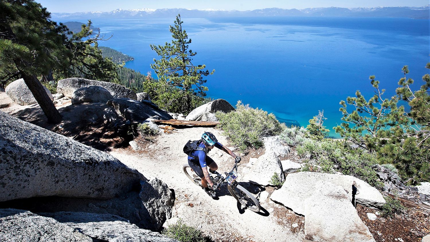
Rocky trails and magical views – MTB Tours in Nevada

Unforgettable MTB Adventures – IMBA Epic Trails in USA and Canada

American Discovery Trail — Walking from sea to shining sea

The tour of your life – music trails on the Pacific coast
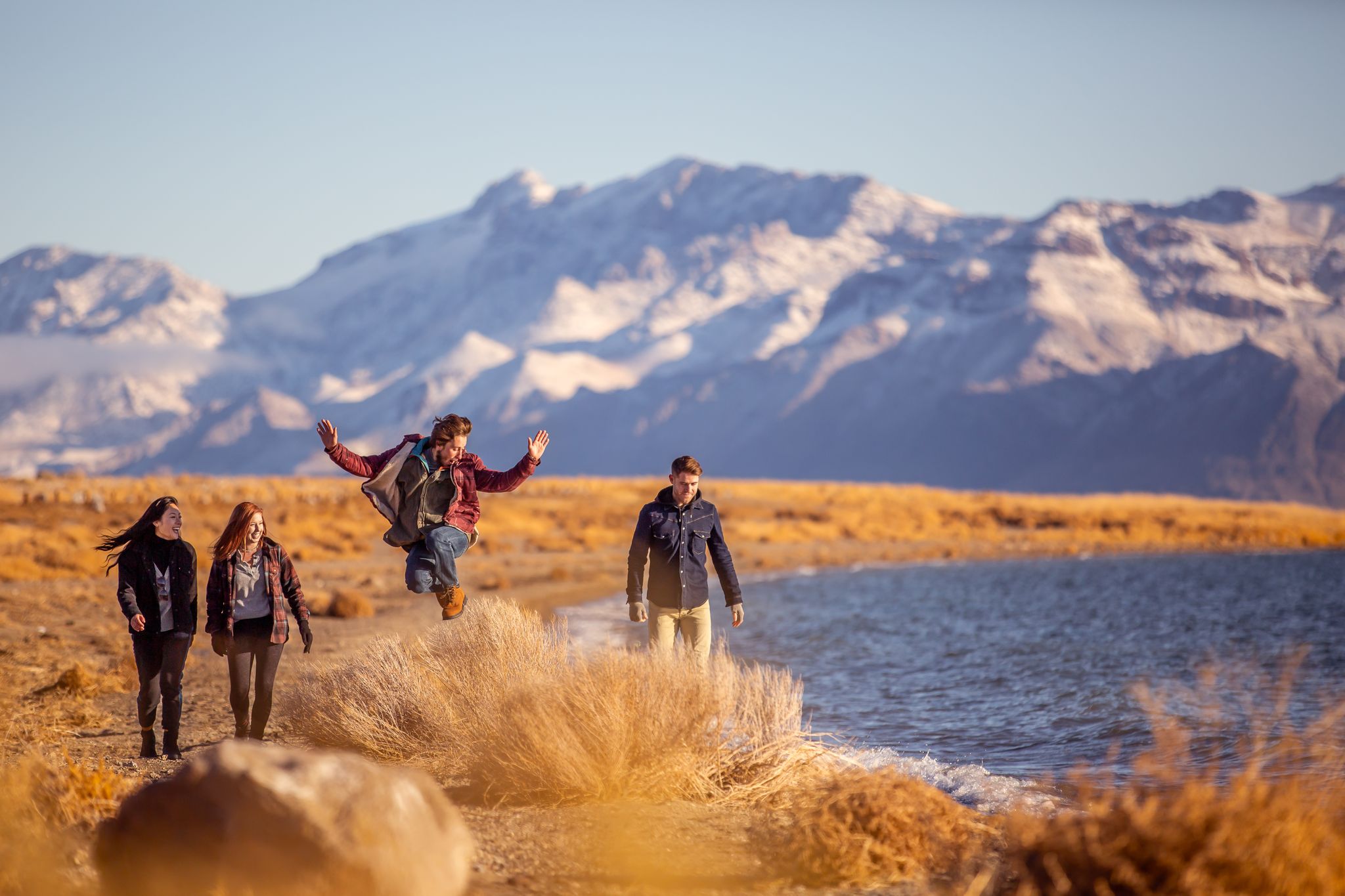
Basecamp Nevada – hiking Tours in the Silver State

Circumnavigating Lake Tahoe in the Sierra Nevada – Tahoe Rim Trail
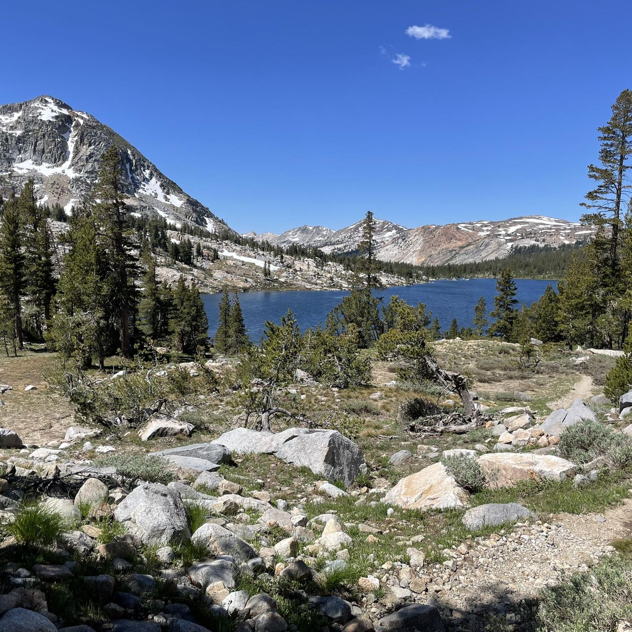
Hiking in Humboldt-Toiyabe National Forest
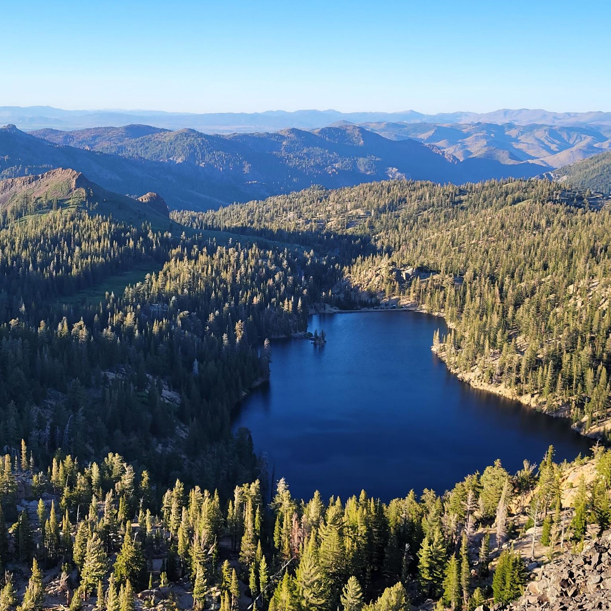
Road Cycling Routes in Humboldt-Toiyabe National Forest
Running Trails in Humboldt-Toiyabe National Forest

Cycling in Humboldt-Toiyabe National Forest
Other adventures in Humboldt-Toiyabe National Forest


Tips from the Community

Located just off the Tahoe Rim Trail, Marlette Lake Viewpoint offers stunning views of Marlette Lake, with the larger Lake Tahoe visible in the distance.
1
0

Getting to Dry Pond is a challenge no matter which direction you approach it from. A good climb will be rewarded with an open meadow and views of the Mt Rose Wilderness. Seasonal wildflowers can also be found here, and it's a good spot to stretch before tackling the downhill portion of the loop.
0
0

This vantage point offers a captivating view of both Lake Marlette and Lake Tahoe, with the blend of pine trees and beach creating a truly awe-inspiring scene. It's the perfect spot to take a moment and soak in the breathtaking views.
0
0
The trail follows along the creek in a steady incline. Nothing too technical but you'll feel it on the climb for sure. If you can ride here in autumn you'll be treated with a show as the leaves can be incredible.
0
0
Built to honor the history of the many Basque sheepherders who traveled to the Western United States to ply their trade, this monument stands at the head of many trails around Peavine Mountain. It's a peaceful place to stop before or after a ride and learn a little about the local history.
0
0
Total Recall is a fun flowy downhill and a fairly gradual climb uphill. This makes it a popular trail in both directions so you'll probably encounter other riders on your way. You'll also be crisscrossing a lot of other trails & jeep roads so be sure to have your map handy so you don't end up on an extended detour.
0
0
Miner's Trail is an easy ride downhill Evans Canyon but there area couple of side trail options you can take for more of a challenge. It's popular with hikers and dog walkers as well so keep an eye out for other trail users.
0
0
Frequently Asked Questions
How many mountain bike trails are available in Humboldt-Toiyabe National Forest?
Humboldt-Toiyabe National Forest offers over 70 mountain bike trails. These routes traverse diverse landscapes, from high elevation deserts to snow-capped peaks, providing options for various skill levels.
What are the difficulty levels of mountain bike trails in Humboldt-Toiyabe National Forest?
The trails in Humboldt-Toiyabe National Forest cater to a wide range of abilities. You'll find 11 easy routes, 45 moderate routes, and 18 difficult routes. The terrain varies from wide, quiet roads suitable for beginners to challenging and arduous trails for advanced riders.
Are there any family-friendly mountain bike trails in the area?
Yes, there are several easy mountain bike trails suitable for families. One option is the Keystone Canyon Trail, which is an easy multi-use trail with gradual climbs. These trails offer a good introduction to mountain biking in the forest.
Can I bring my dog on the mountain bike trails?
Generally, dogs are permitted on trails within the Humboldt-Toiyabe National Forest, provided they are kept on a leash. However, it's always best to check specific trail regulations before heading out, as rules can vary, especially near developed recreation sites or sensitive wildlife areas.
What kind of terrain and elevation can I expect on the mountain bike trails?
The Humboldt-Toiyabe National Forest boasts incredibly diverse terrain. Riders can expect everything from expansive sage steppes and pine forests to rugged, glacier-carved valleys and high elevation deserts. Elevations can reach over 12,000 feet, offering significant climbs and descents, particularly on routes like the Tahoe Rim and Flume Trail Loop.
Are there any loop trails for mountain biking?
Yes, many mountain bike trails in the Humboldt-Toiyabe National Forest are designed as loops, offering varied scenery without retracing your path. Popular loop options include the Tahoe Rim and Incline Flume Trail Loop and the Dry Pond Loop.
What are some notable natural features or landmarks I can see along the trails?
The forest is rich with natural beauty. You can encounter stunning mountain passes like Ebbets Pass, and impressive waterfalls such as Galena Creek Falls or Hunter's Creek Waterfall. Many trails also offer panoramic views of Lake Tahoe and Marlette Lake.
What is the best time of year for mountain biking in Humboldt-Toiyabe National Forest?
The best time for mountain biking generally spans from late spring through early fall. During these months, trails are typically free of snow, and the weather is most favorable. Higher elevation trails might remain snow-covered until early summer, so checking local conditions is always recommended.
Are e-bikes allowed on the trails?
Yes, Class 1, 2, and 3 e-bikes are permitted on motorized trails and roads within the Humboldt-Toiyabe National Forest. However, bicycles, including e-bikes, are not allowed in designated wilderness areas.
Where can I find parking for mountain bike trails?
Many popular trailheads, especially those for well-known routes like the Tahoe Rim Trail, offer designated parking areas. For example, you can find parking at Mt Rose Summit Plaza - Tahoe Rim Trailhead. It's advisable to check specific route information for detailed parking instructions.
What do other mountain bikers enjoy most about the trails here?
The mountain bike trails in Humboldt-Toiyabe National Forest are highly rated by the komoot community, with an average score of 4.7 stars. Riders frequently praise the diverse landscapes, from stunning lake views to challenging mountain sections, and the variety of trails suitable for all skill levels.
Are there any towns nearby with amenities for mountain bikers?
Yes, several towns near the Humboldt-Toiyabe National Forest offer amenities. Reno, Mammoth Lakes, and Bridgeport are good options where you can find bike shops, lodging, restaurants, and other services to support your mountain biking adventures.
Most popular routes in Humboldt-Toiyabe National Forest
Most popular attractions in Humboldt-Toiyabe National Forest

Get inspired with the komoot mobile app


Explore more
Browse the best MTB trails in other regions.
