The best traffic-free bike rides in Coconino County
4.7
(30)
908
riders
12
rides
If you've ever tried to plan road cycling in Coconino County, you know how quickly the sheer number of routes can become overwhelming. It's tough to tell which ones are genuinely worth your precious time and effort, and which are just filler. That's where we come in. Our komoot community has ridden, mapped, and reviewed these routes, so we've done the legwork to bring you a curated shortlist of the very best. Consider this your shortcut to saving time and guesswork.
Road cycling in Coconino County is an experience unlike any other, defined by dramatic elevation changes and incredibly diverse landscapes. You'll find everything from the iconic red rock country around Sedona to the vast Ponderosa Pine forests near Flagstaff and the awe-inspiring Grand Canyon. This region offers a compelling mix of terrain, from moderate rides to challenging climbs, ensuring there's something for every cyclist. For the most comfortable rides, we find spring and autumn offer ideal, milder temperatures.
If you only do one ride, make it the Grand Canyon Rim Trail. This 19.4 miles (31.3 km) route offers unparalleled views along the South Rim and is an absolute must-do for any first-time visitor. For something different, especially if you love red rock scenery, the Dry Creek Road to Long Canyon Road & Aerie Road route is a fantastic 17.7 miles (28.5 km) option that winds through stunning formations. With over 900 road cyclists having explored Coconino County with komoot, you can trust these routes are worth your legs.
Last updated: May 11, 2026
5.0
(3)
99
riders
31.3km
01:51
380m
380m
Cycling the Grand Canyon Rim Trail offers an unparalleled perspective of one of the world's natural wonders, guiding you along paved paths that hug the canyon's edge. You'll be treated to gorgeous routes with amazing views of the canyon and the thin strip of river far below, passing through diverse landscapes of ponderosa, pinyon, and juniper trees. The experience of pedaling past iconic viewpoints like Hermit's Rest, with the vast chasm unfolding before you, is truly something special.
Planning your ride here means embracing the park's unique logistics. A major advantage is the ability to cycle Hermit Road, which is closed to private vehicles from March through November, allowing for a more peaceful journey. The park's free shuttle buses, equipped with bike racks, provide excellent flexibility, letting you combine riding with shuttle transport. Keep in mind that the South Rim sits at over 7,000 feet above sea level, so even moderate inclines can feel more challenging due to the altitude.
This moderate 19.4-mile (31.3 km) route, with 1257 feet (383 metres) of elevation gain and an estimated duration of 1 hour and 50 minutes, is part of the extensive Grand Canyon Greenway Trail system. This network of paved pathways is a fantastic asset, allowing you to beat the crowds and avoid the frustrating hunt for an in-park parking space. You might even spot wildlife like elk or bighorn sheep along the way, adding to the immersive natural experience.
23
riders
28.5km
01:28
420m
420m
Embark on a dynamic road cycling adventure through West Sedona's stunning red rock country with the Dry Creek Road to Long Canyon Road & Aerie Road route. This moderate 17.7-mile (28.5 km) ride features 1384 feet (422 metres) of elevation gain, offering a consistent workout amidst breathtaking geological formations. You'll navigate varied terrain, including significant climbs and descents, providing a truly engaging experience for about 1 hour and 27 minutes.
To make the most of this ride, plan for an early start, especially during warmer seasons, to enjoy cooler temperatures and potentially less traffic. While specific trailhead parking isn't detailed, access points are available throughout West Sedona. Always ensure you carry ample water and any necessary supplies, as amenities might be sparse along the route.
This route stands out for its location within the famously scenic West Sedona area, combining a challenging ride with dramatic natural beauty. Unlike other roads sharing similar names, this specific combination is tailored for road cycling, offering a unique perspective of the region's iconic red rock landscapes and providing a rewarding experience for those seeking a moderately challenging ride.

15
riders
22.7km
01:02
190m
190m
The Grand Canyon Village Greenway to Tusayan offers a refreshing road cycling experience, guiding you through dense forests of ponderosa pines, pinyon, and juniper trees. This paved asphalt path, with some packed gravel sections near Tusayan, provides a tranquil, car-free journey between the bustling Grand Canyon Village and the town of Tusayan. You'll enjoy the quiet atmosphere and the chance to spot local wildlife like elk or mule deer as you pedal through the natural beauty of the area.
Planning your ride is straightforward, with the added benefit of bypassing vehicle entrance lines into the park. If you're cycling during the summer, from Memorial Day to Labor Day weekends, consider using the Tusayan (Purple) Route shuttle bus; it has bike racks, allowing you to cycle one way and shuttle back. Keep in mind that while the ride towards Tusayan is mostly downhill, the return trip involves a consistent uphill climb, which can be challenging at the South Rim's 7,000-foot altitude.
This 14.1-mile (22.7 km) route, with 626 feet (191 metres) of elevation gain and an estimated duration of 1 hour and 1 minute, is rated moderate and is part of a larger greenway system. It's a fantastic option for families and anyone looking for family-friendly cycling in the Grand Canyon area, connecting you to various park attractions and viewpoints. The opportunity for wildlife viewing along the way adds to the charm, making it a memorable ride.
9
riders
91.6km
04:23
1,120m
1,120m
This road cycling route from Sunset Crater to Nalakihu Pueblo offers a unique journey through Northern Arizona's diverse landscapes, blending volcanic terrain with high desert grasslands. You'll start among the cinder cones and lava flows of Sunset Crater, then transition to open vistas of the Painted Desert and the San Francisco Peaks as you head towards Nalakihu Pueblo. It's a challenging 56.9-mile (91.6 km) ride with 3667 feet (1118 metres) of elevation gain, taking about 4 hours and 23 minutes, ideal for cyclists seeking a demanding and scenic adventure.
Planning your visit means preparing for a difficult ride along the Wupatki and Sunset Crater Loop Road, which connects two national monuments. An entrance fee covers both parks, so be ready for that. Water is crucial, especially in warmer months, as amenities are sparse, and starting early helps beat the heat. This route is best enjoyed by experienced road cyclists looking for a substantial day out.
The historical significance of this route is as compelling as its natural beauty. You'll cycle through an area shaped by the 1085 AD eruption of Sunset Crater Volcano, then arrive at Nalakihu Pueblo, an ancient Ancestral Puebloan ruin that was once a thriving agricultural hub. These sites hold deep cultural meaning for the 13 Traditionally Associated Tribes of Wupatki National Monument, offering a ride rich in both geological and human history.
26.9km
01:18
320m
320m
This road cycling route along Cape Royal Road offers some of the widest panoramas of the Grand Canyon from its North Rim. As you pedal, you'll traverse the Walhalla Plateau, passing through lush forests of aspens and pines, interspersed with meadows that burst with wildflowers in season. The moderate 16.7-mile (26.9 km) ride, with 1062 feet (324 metres) of elevation gain, takes about 1 hour and 18 minutes, leading you from the sweeping vistas of Vista Encantada to the distinct perspective of Walhalla Overlook, where you can see the Unkar Delta.
Planning your ride requires attention to safety; the National Park Service advises against cycling the initial segment of Cape Royal Road due to winding sections and limited visibility. Expect narrow shoulders and vehicular traffic throughout the route. The road is generally open from mid-May to mid-October, but always confirm seasonal access before you go, as snow or maintenance can cause closures.
Cape Royal Road is renowned as the North Rim's premier scenic drive, offering a less crowded experience than the South Rim. Built in the late 1920s, it provides not just breathtaking views but also insights into Ancestral Puebloan history through interpretive exhibits. Keep an eye out for wildlife like bighorn sheep or California condors from the various overlooks, adding another layer to this memorable Grand Canyon experience.
Get access to more routes and recommendations from other explorers.
Already have an account?
Our route recommendations are based on thousands of hikes, rides, and runs completed by other people on komoot.
Start today with a free account
Your next adventure awaits.
Popular around Coconino County

Traffic-free bike rides in Kaibab National Forest

Traffic-free bike rides in Grand Canyon National Park

Traffic-free bike rides in the Kaibab Plateau

Traffic-free bike rides around Grand Canyon Village

Traffic-free bike rides in Coconino National Forest

Traffic-free bike rides in Munds Mountain Wilderness
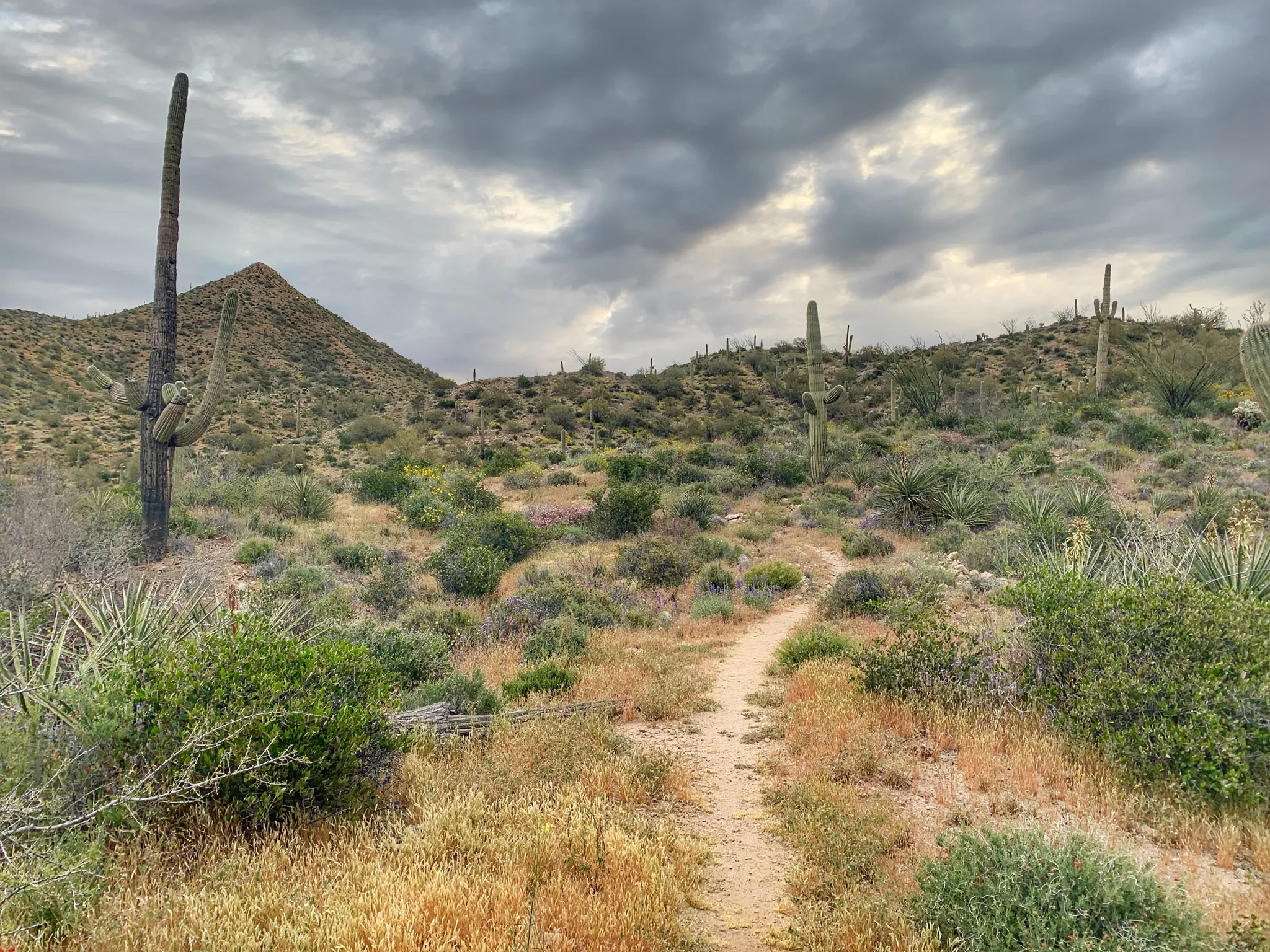
Arizona Trail — A beautiful 800-mile struggle
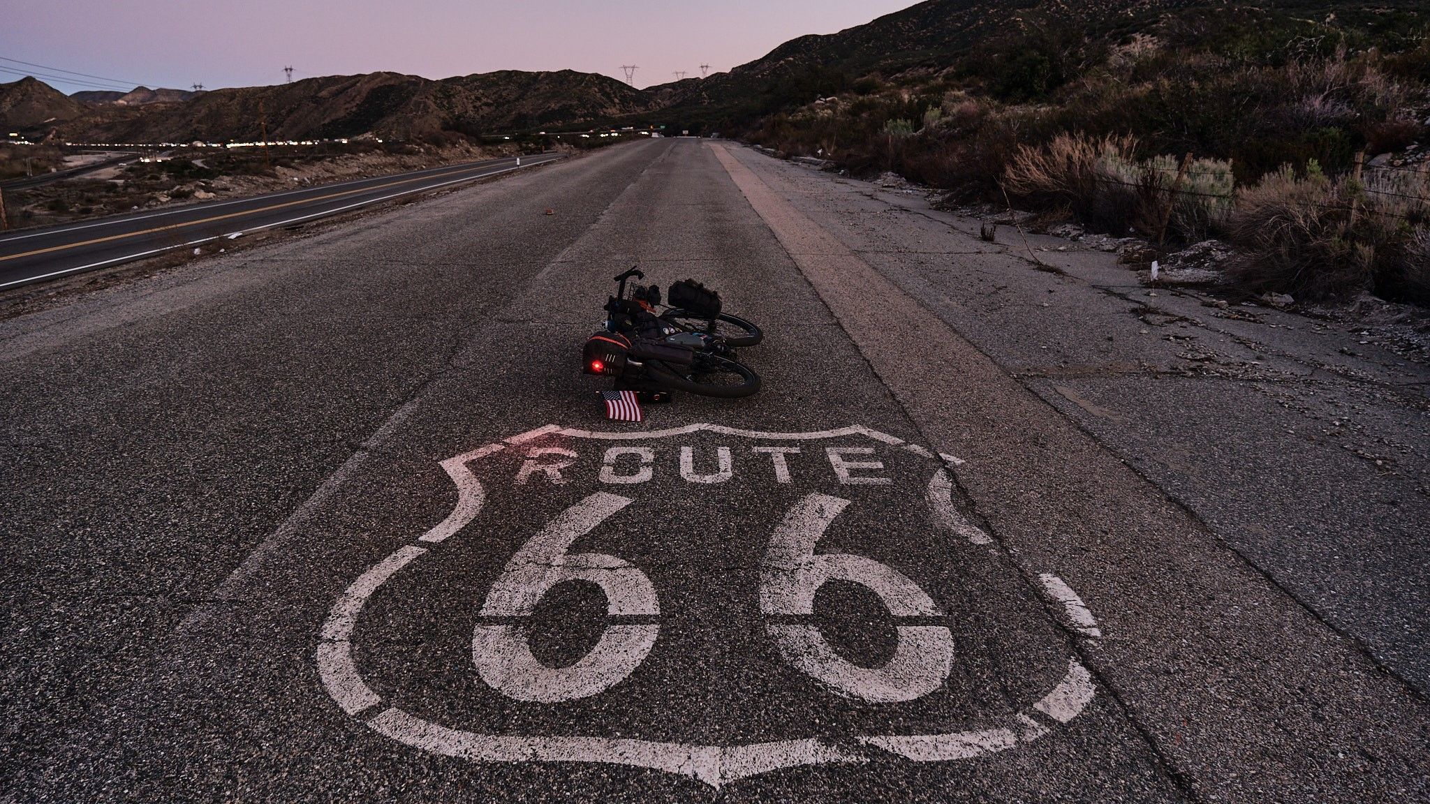
Adventure Cycling Association's Bicycle Route 66 — LA to Chicago
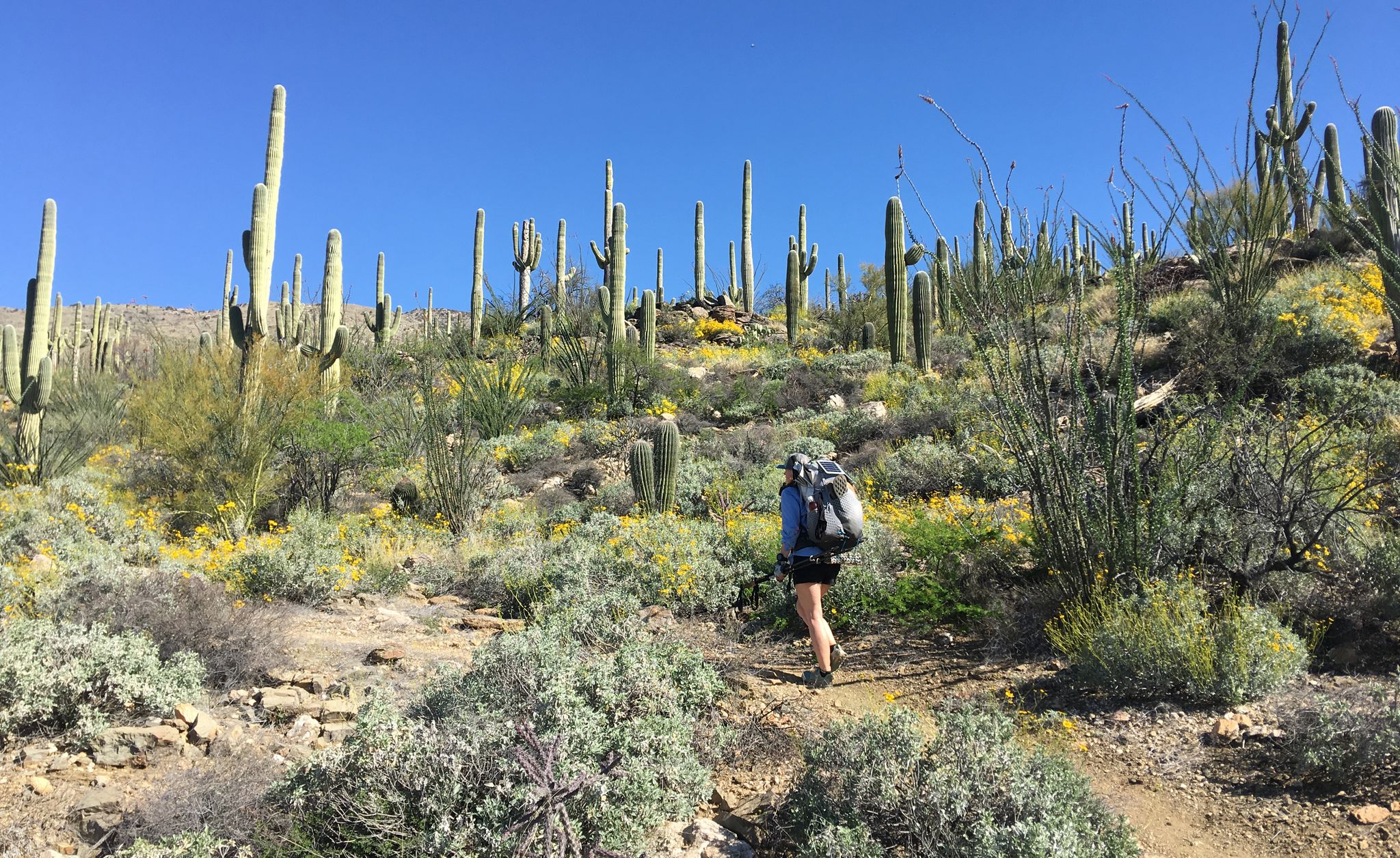
The Arizona Trail — From Mexico to Utah in 43 days
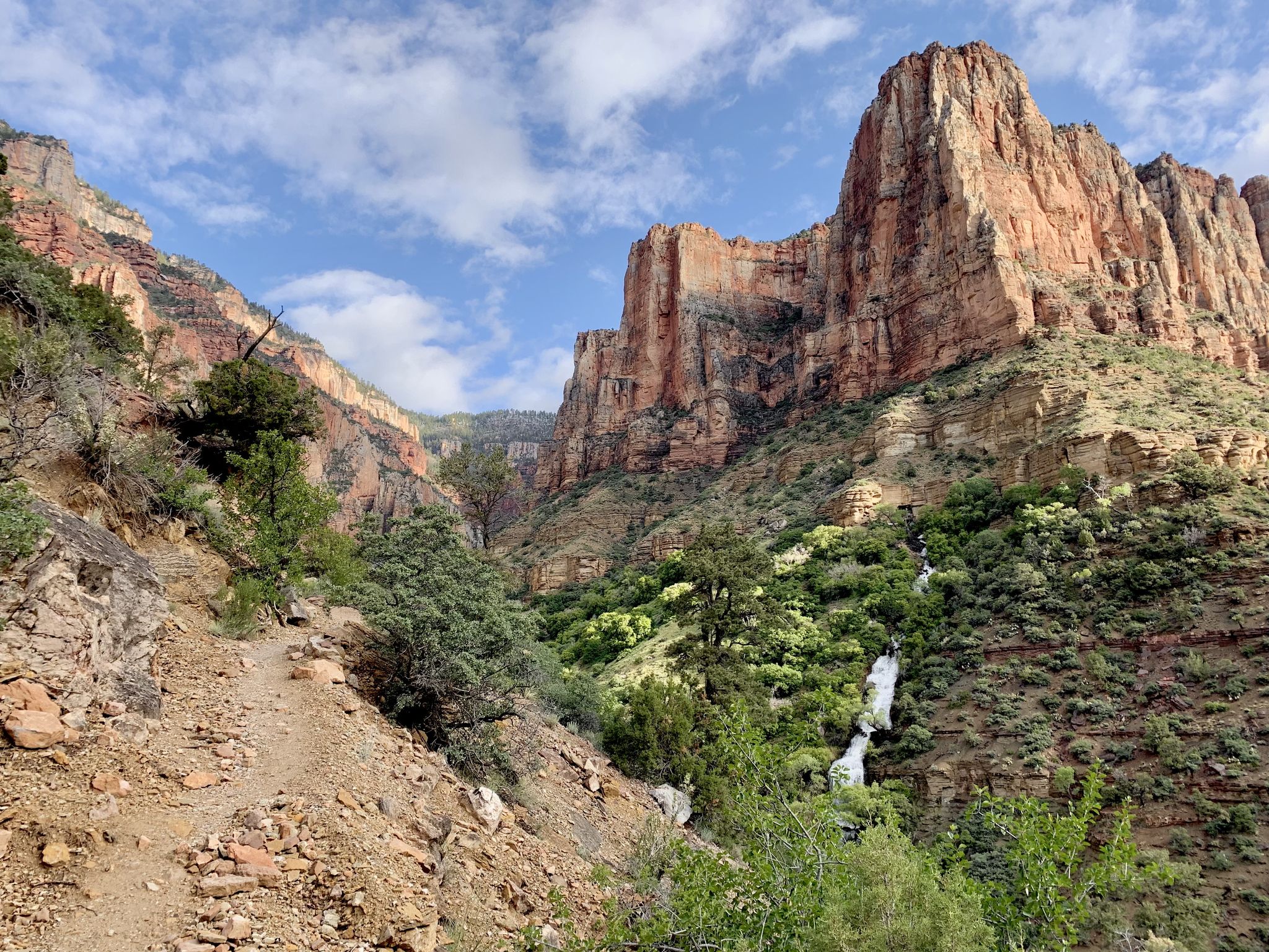
Rim-to-Rim-to-Rim – top to bottom through the Grand Canyon
Other adventures in Coconino County


Tips from the Community

I can recommend starting here in the morning and then gradually making your way back along the rim on foot or by shuttle bus. Super impressive
1
0

If you want an easygoing out-and-back with big red rock views, this is a solid pick. It’s not too long, with gentle climbs as you head past the golf course into the canyon. Super quiet, especially early or late in the day. Great for a relaxed spin or adding a scenic detour to a longer ride around Sedona.
0
0
A smooth paved climb with awesome red rock views above Dry Creek. It’s got a steady grade that’s fun to spin up, with wide shoulders and great scenery. Best early in the day before it gets hot or busy. A solid spot to just enjoy the ride and take in Sedona’s colors.
0
0
The Grand Canyon Greenway Trail connects the village of Tusayan with Grand Canyon Village. This easy trail features a steady incline along a paved path, surrounded by trees. It's a great option for a quiet ride compared to the busier routes around the canyon.
0
0
Mohave Point offers incredible views over the Grand Canyon, especially at sunset. You’ll also get a perfect view of the Tonto Trail winding deep into the canyon. The trail to the very tip of the point isn’t paved, so you can stop your bike and take a short hike to check it out.
0
0

At Pima Point, you can both see and hear the rumbling Colorado River with the Hermit Rapids in sight.
1
0
Tusayan is an Arizona Trail Gateway Community. It is a small town close to the South Rim of the Grand Canyon. You will find some motels, restaurants and a grocery store. Due to the proximity to the touristy South Rim, everything is very pricy, even McDonalds. The grocery store at the Grand Canyon Village is cheaper with a larger variety. Free WiFi is available in the lobby of the Holiday Inn. The Mexican restaurant has a nice and affordable breakfast buffet. The Tusayan Post Office in the General Store will NOT accept General Delivery packages, so send them to the Post Office at Grand Canyon Village.
0
0
Tusayan is an Arizona Trail Gateway Community. It is a small town close to the South Rim of the Grand Canyon. You will find some motels, restaurants and a grocery store. Due to the proximity to the touristy South Rim, everything is very pricy, even McDonalds. The grocery store at the Grand Canyon Village is cheaper with a larger variety. Free WiFi is available in the lobby of the Holiday Inn. The Mexican restaurant has a nice and affordable breakfast buffet. The Tusayan Post Office in the General Store will NOT accept General Delivery packages, so send them to the Post Office at Grand Canyon Village.
4
0
Frequently Asked Questions
How many no-traffic road cycling routes are available in Coconino County?
There are over 10 dedicated no-traffic road cycling routes in Coconino County, ranging from easy to difficult. This guide features 13 routes, with 4 easy, 7 moderate, and 2 difficult options, ensuring a suitable ride for various skill levels.
What is the best time of year for no-traffic road cycling in Coconino County?
Spring and fall are generally the best seasons for no-traffic road cycling in Coconino County. These periods offer pleasant temperatures, allowing riders to avoid the intense summer heat in lower elevations and the winter snow in higher mountain areas like the San Francisco Peaks.
Are there any family-friendly no-traffic road cycling routes in Coconino County?
Yes, Coconino County offers several family-friendly options. Routes like the Grand Canyon Village Greenway to Tusayan provide a relatively flat and accessible experience, perfect for families looking for a relaxed ride away from vehicle traffic.
What kind of scenery can I expect on these no-traffic road cycling routes?
Coconino County's no-traffic road cycling routes offer incredibly diverse scenery. You can expect to cycle through vast ponderosa pine forests, past volcanic landscapes, and enjoy stunning views of the Grand Canyon. Some routes also feature the vibrant red rock formations characteristic of the Sedona area, providing a truly unique backdrop for your ride.
Are there any circular no-traffic road cycling routes available?
Yes, many of the no-traffic road cycling routes in Coconino County are designed as loops or can be easily adapted into circular rides. This allows you to start and end at the same point, making logistics simpler. For example, the Dry Creek Road to Long Canyon Road & Aerie Road route offers a scenic loop through the red rock country.
What are some interesting landmarks or attractions I can see along these routes?
Many routes pass by or are close to significant natural and historical landmarks. For instance, the Grand Canyon Rim Trail offers unparalleled views of the Grand Canyon itself, with highlights like Ooh Aah Point. Other routes might take you near volcanic features like Sunset Crater or ancient Native American sites such as Nalakihu Pueblo, accessible via the Sunset Crater to Nalakihu Pueblo route.
What do other road cyclists enjoy most about no-traffic cycling in Coconino County?
The komoot community highly rates the no-traffic road cycling experience in Coconino County, with an average score of 4.8 stars. Reviewers often praise the stunning, diverse landscapes, the peace and quiet of car-free routes, and the opportunity to immerse themselves in nature without vehicle distractions. The well-maintained paths and varied terrain also receive frequent positive mentions.
Are there any routes that offer views of lakes or water bodies?
While not all routes directly hug large lakes, Coconino County is home to several beautiful water bodies. Mormon Lake, Arizona's largest natural lake, is a prominent feature in the region, and some routes in the Coconino National Forest offer glimpses of its serene waters or other smaller lakes like Bismarck Lake.
What are the difficulty levels of the no-traffic road cycling routes?
The no-traffic road cycling routes in Coconino County cater to various fitness levels. This guide includes 4 easy routes, perfect for beginners or a leisurely ride, 7 moderate routes that offer a good challenge with some elevation gain, and 2 difficult routes for experienced cyclists seeking a more demanding adventure.
Is public transport available to access these no-traffic cycling routes?
Access to some routes, especially those within national parks or urban areas like Flagstaff, may be supported by limited public transport options. However, for many of the more remote no-traffic routes, personal vehicle transport to a trailhead or starting point is often the most practical option. Always check local public transport schedules and accessibility for specific route starting points.
Are there specific parking areas for these no-traffic road cycling routes?
Yes, many of the no-traffic road cycling routes, especially those within national parks, national forests, or county parks, have designated parking areas at their trailheads or access points. It's advisable to check the specific route details on komoot for information on recommended parking locations to ensure convenient access.
Can I spot wildlife while cycling on these no-traffic routes?
Absolutely! Cycling on no-traffic routes in Coconino County offers an excellent opportunity for wildlife spotting. The diverse ecosystems, from ponderosa pine forests to canyon rims, are home to a variety of animals including deer, elk, various bird species, and smaller mammals. Early mornings or late afternoons often provide the best chances for sightings.
Most popular routes in Coconino County
Most popular attractions in Coconino County

Get inspired with the komoot mobile app


Didn’t find what you were looking for?
Check out more Road cycling routes throughout Coconino County below and find the perfect route in your destination.
Explore more
Browse the best Road cycling routes in other regions.
