The best traffic-free bike rides in Coconino County
4.9
(31)
903
riders
39
rides
No traffic touring cycling routes in Coconino County traverse a diverse landscape, from high-elevation ponderosa pine forests to red rock formations and expansive plateaus. The region is characterized by significant elevation changes, ranging from 2,500 feet to over 12,600 feet at Humphreys Peak. Key natural features include the stunning crimson cliffs of Sedona's Red Rocks, the vast Coconino National Forest, and the dramatic Mogollon Rim. This varied terrain offers a wide array of cycling experiences for different skill levels.
Best…
Last updated: November 21, 2026
31.2km
02:00
420m
420m
Moderate bike ride. Good fitness required. Mostly paved surfaces.
14.0km
01:23
190m
190m
Moderate bike ride. Good fitness required. Mostly paved surfaces.

10.2km
00:59
110m
110m
Hard bike ride. You may need to push your bike for some segments of this route.
29.1km
02:01
480m
480m
Hard bike ride. Very good fitness required. Mostly paved surfaces.
5.0
(14)
266
riders
Moderate bike ride. Good fitness required. Mostly paved surfaces.
Get access to more routes and recommendations from other explorers.
Already have an account?
Our route recommendations are based on thousands of hikes, rides, and runs completed by other people on komoot.
Start today with a free account
Your next adventure awaits.
Popular around Coconino County
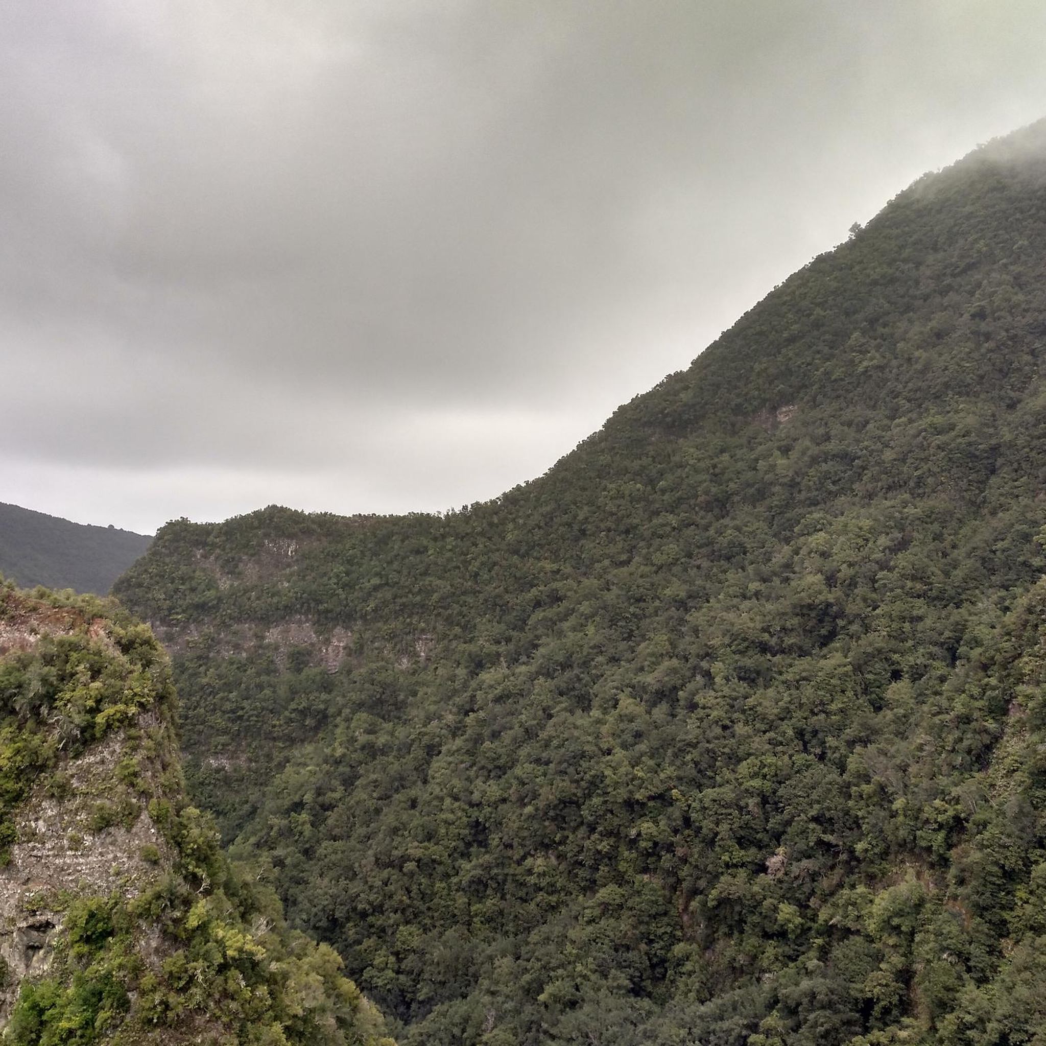
Traffic-free bike rides in the Kaibab Plateau
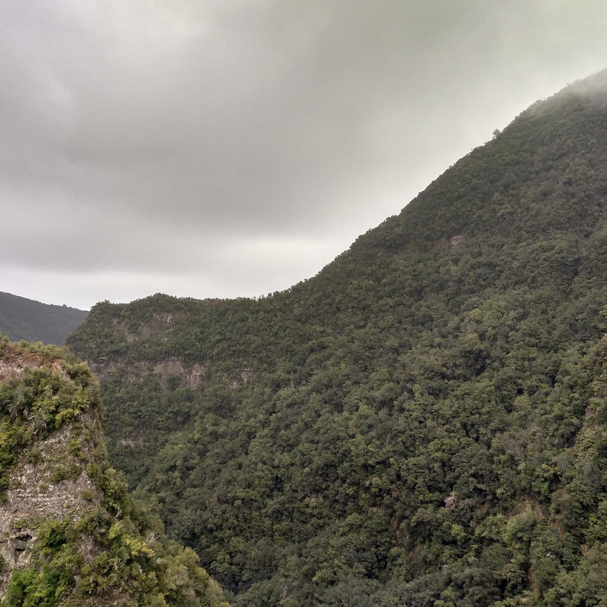
Traffic-free bike rides in Kaibab National Forest
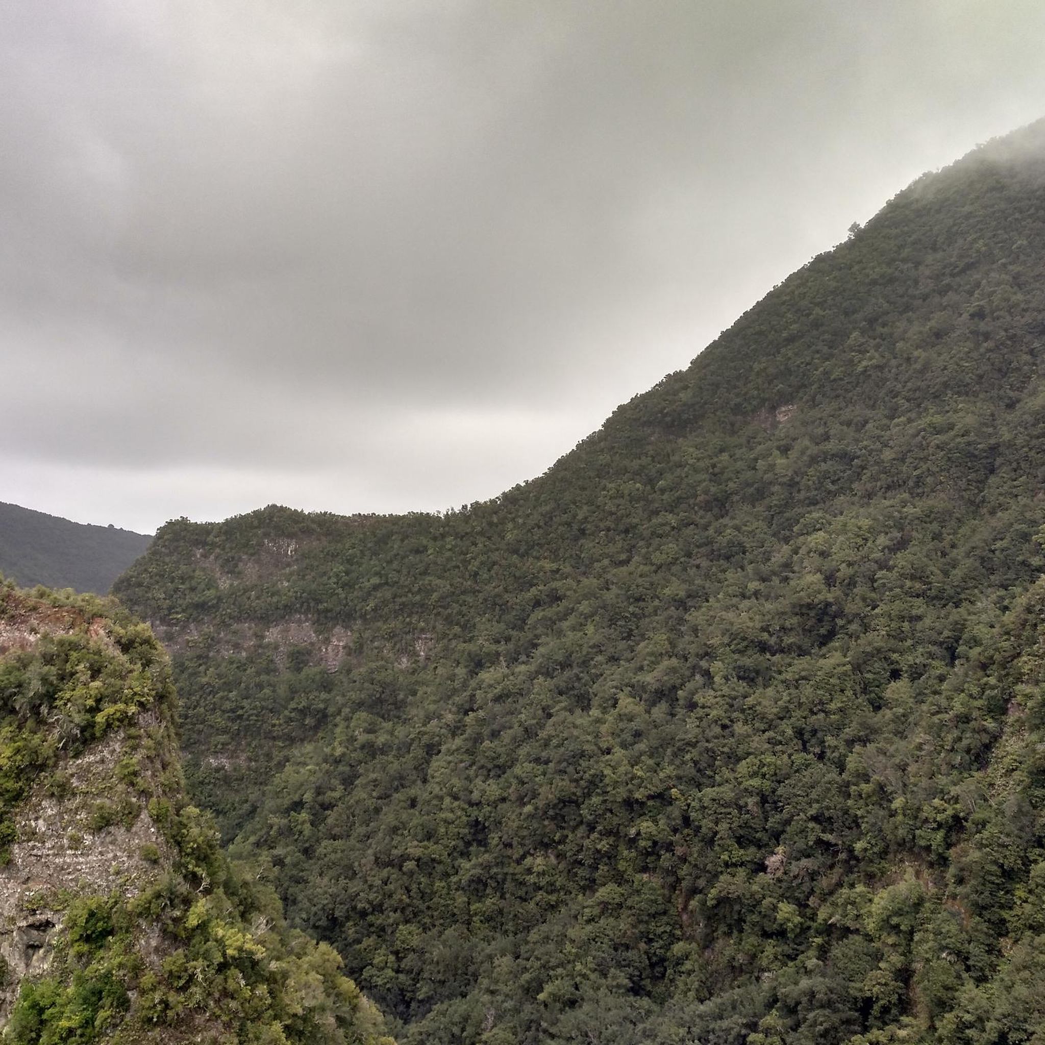
Traffic-free bike rides in Grand Canyon National Park

Traffic-free bike rides in Saddle Mountain Wilderness

Traffic-free bike rides in Coconino National Forest

Traffic-free bike rides around Flagstaff

Traffic-free bike rides in the San Franciso Peaks
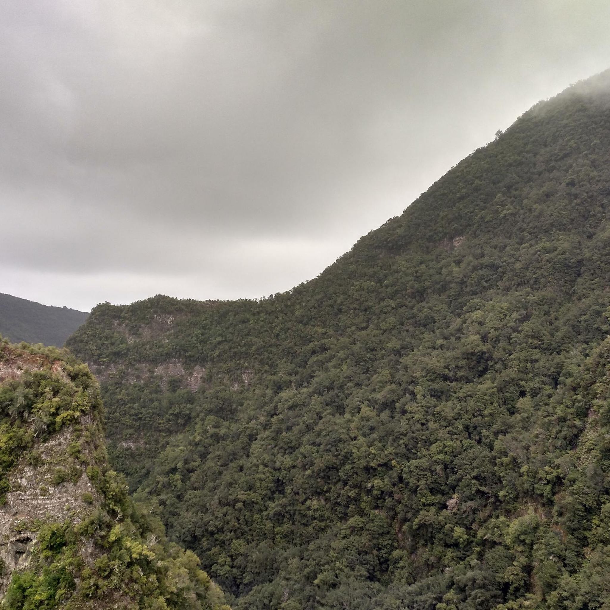
Traffic-free bike rides around Grand Canyon Village

Traffic-free bike rides in Walnut Canyon National Monument

Traffic-free bike rides in Kachina Peaks Wilderness
Other adventures in Coconino County


Tips from the Community

I can recommend starting here in the morning and then gradually making your way back along the rim on foot or by shuttle bus. Super impressive
1
0

At Pima Point, you can both see and hear the rumbling Colorado River with the Hermit Rapids in sight.
1
0

Hermit's Rest is the endpoint of a stunning and epic ride in the Grand Canyon. Built in 1914, the structure is named after Louis Boucher, a Canadian-born prospector who staked claims near the site around 1891. With help, Boucher carved the trail into the canyon and lived alone at nearby Dripping Springs for many years. The ride is smooth and scenic, offering breathtaking canyon views. No cars are allowed on Hermit Road, making the experience even better, though shuttle buses still run. There's a small snack bar at Hermit’s Rest for a quick break. This is a must-do for any cycling enthusiast!
1
0
The Grand Canyon Greenway is a fantastic bike-friendly trail with stunning canyon views and an easy ride through nature, with several viewpoints along the way. It connects with other trails like the Rim Trail and Hermit Road, offering a mix of scenic overlooks and peaceful stretches away from the crowds. A must-ride for any cycling adventure in the park!
0
0
At Canyon Adventures Bike Tours & Café, you can rent a bike and explore the Grand Canyon’s breathtaking trails at your own pace. After the ride, the café is the perfect spot to unwind with some tasty refreshments. Whether you're a local or just visiting, it’s a great place to explore and relax!
0
0

The Kaibab Plateau is part of the much larger Colorado Plateau. Its southern edge is set by the North Rim of the Grand Canyon, and you can find truly breathtaking views if you venture to the edge.
0
0

The massive scale of the Kaibab Plateau becomes clear from this viewpoint, which provides views across the Saddle Creek Wilderness and further east where arid, desert landscape stretches toward the Colorado River.
0
0

This is the far western end of the Rim Trail, one of the most popular running trails in the park. There's a shuttle bus stop if you started to the east and don't want to run all the way back. At this point, the trail tends to be narrow and near the edge of the canyon, so it's no surprise the views are incredible. If you want a milder run, the section of the Rim Trail that runs between Mather Point and Powell Point is paved, and still has stunning views.
0
0
Frequently Asked Questions
How many no traffic touring cycling routes are available in Coconino County?
There are over 40 dedicated no traffic touring cycling routes in Coconino County, offering a wide range of experiences for all skill levels. You'll find 17 easy routes, 10 moderate routes, and 14 difficult routes to explore.
What is the best time of year for no traffic touring cycling in Coconino County?
Spring and fall are generally the best seasons for no traffic touring cycling in Coconino County. These periods avoid the snow at higher elevations and the extreme heat in lower desert areas like Sedona. The diverse elevation means conditions can vary significantly across the county.
Are there any family-friendly no traffic touring cycling routes in Coconino County?
Yes, Coconino County offers several easy no traffic touring cycling routes suitable for families. These routes typically feature gentler terrain and shorter distances, allowing for a relaxed experience. Look for routes marked as 'easy' in the guide for suitable options.
What kind of natural features can I expect to see along these routes?
Coconino County boasts incredibly diverse landscapes. You can expect to cycle through extensive ponderosa pine forests, witness the stunning red rock formations around Sedona, and experience the dramatic views from the Mogollon Rim. Some routes also offer glimpses of ancient volcanic peaks and high-elevation alpine tundra.
Are there any circular no traffic touring cycling routes?
Yes, several no traffic touring cycling routes in Coconino County are designed as loops, offering a convenient way to start and end your ride at the same point. An example is the Hopi Point viewpoint – Grand Canyon Greenway loop from Grand Canyon Village, which is a moderate 21 km ride.
What are some notable viewpoints or landmarks accessible by no traffic touring routes?
Many routes offer access to breathtaking viewpoints and landmarks. For instance, the Cape Royal Drive route takes you to stunning vistas. You can also find highlights like Lockett Meadow, offering picturesque views, or explore the iconic Antelope Canyon nearby.
What do other touring cyclists enjoy most about no traffic touring cycling in Coconino County?
The komoot community highly rates touring cycling in Coconino County, with an average score of 5.0 stars. Reviewers often praise the region's unparalleled natural beauty, the variety of landscapes from forests to red rocks, and the peaceful, car-free experience these routes provide.
Are there any longer, more challenging no traffic touring routes for experienced cyclists?
Absolutely. For experienced touring cyclists seeking a challenge, routes like Point Imperial via Cape Royal Road offer nearly 30 km of riding with significant elevation gain. These routes often traverse more rugged terrain and provide a demanding yet rewarding experience.
Can I find routes that incorporate parts of the Arizona Trail?
Yes, some no traffic touring routes in Coconino County integrate sections of the Arizona Trail, an 800-mile non-motorized trail. The East Rim and Arizona Trail Loop is a moderate 14 km option that allows you to experience a portion of this iconic trail.
Are there any lakes or water features accessible from no traffic touring routes?
While Coconino County is known for its arid beauty, there are several lakes and water features. You might find routes near Bismarck Lake or Alfa Fia Tank. Mormon Lake, Arizona's largest natural lake, is also within the county, offering a different scenic experience.
What is the typical elevation gain on these no traffic touring routes?
The elevation gain varies significantly depending on the route's difficulty and length. Easy routes might have minimal gain, while more challenging options like Point Imperial via Cape Royal Road can feature over 470 meters of ascent, reflecting the dramatic topography of Coconino County.
Most popular routes in Coconino County
Most popular attractions in Coconino County

Get inspired with the komoot mobile app


Didn’t find what you were looking for?
Check out more Cycling routes throughout Coconino County below and find the perfect route in your destination.
Explore more
Browse the best Cycling routes in other regions.
