The best MTB trails in Coconino County
4.6
(64)
2,301
riders
168
rides
Mountain biking in Coconino County offers diverse terrain, ranging from high-desert landscapes to alpine environments. The region features iconic red rock formations, vast ponderosa pine forests, and dramatic canyons. Riders can explore areas within the Coconino National Forest, which covers 1.8 million acres, providing a variety of natural features for mountain bike trails. This varied topography includes significant elevation changes and distinct ecosystems.
Best mountain bike trails in Coconino County
- The most popular mountain bike trail is Hiline – MTB Trails in Sedona, a 8.0 miles (12.9 km) trail that takes 1 hour 17 minutes to complete. This difficult route is known for its technical sections and views of Sedona's red rock formations.
- Another top favourite among local mountain bikers is Hangover – MTB Trails in Sedona, a difficult 8.2 miles (13.1 km) path. This trail features exposed ledges and challenging rock gardens amidst scenic red rock landscapes.
- Local mountain bikers also love the Rimview Trail, a 10.3 miles (16.6 km) trail leading through ponderosa pine forests, often completed in about 1 hour 27 minutes.
- Mountain biking in Coconino County is defined by red rock formations, ponderosa pine forests, and high-desert terrain. The extensive network of routes offers options for various ability levels, from easy paths to challenging technical trails.
- The routes in Coconino County are highly rated by the komoot community with an average score of 4.6 stars from more than 60 reviews. More than 2,300 mountain bikers have used komoot to explore Coconino County's varied terrain.
Last updated: August 3, 2026

5.0
(3)
135
riders
12.9km
01:17
250m
250m
Hard mountain bike ride. Great for any fitness level. Advanced riding skills necessary. Some portions of the route may require you to push your bike.
5.0
(3)
109
riders
12.2km
01:15
270m
260m
Prepare for a challenging mountain biking experience on the Hiline and Templeton Loop, a difficult 7.6 miles (12.2 km) route that climbs 878 feet (268 metres) over an estimated 1 hour and 14 minutes. You will ride through Sedona's iconic red rock country, encountering visually stunning panoramic vistas. The Highpoint Hiline Trail viewpoint offers expansive views of landmarks like Cathedral Rock and the Verde Valley. As you transition to the Templeton section, the environment shifts to a more lush setting along Oak Creek, providing a different feel to your ride. Expect steep, rocky climbs and descents, with some sections reaching Double Black Diamond difficulty due to extreme technicality and high exposure.
Before you set out, understand that this route is rated as difficult, primarily Black Diamond or Expert, with some sections even reaching Double Black Diamond difficulty. You should be realistic about your mountain biking skills; you may need to walk your bike on some of the steeper, rockier climbs and descents. While the trail is generally well-marked, carrying a navigation app is highly recommended to stay on track. This challenging route demands your full attention and appropriate gear for a safe and enjoyable ride.
This loop is a must-do for experienced mountain bikers seeking a demanding ride through Sedona's unique landscape. The trail offers a dynamic contrast, moving from the expansive red rock vistas of the Hiline section to the more intimate, riparian environment along Oak Creek in the Templeton section. This blend of arid desert views and lush creek-side trails highlights the diverse natural beauty of the Coconino National Forest. It is a prime example of the technical and scenic mountain biking opportunities available in the region.

Sign up for free
5.0
(3)
95
riders
13.1km
01:20
290m
290m
Hard mountain bike ride. Great for any fitness level. Advanced riding skills necessary. Some portions of the route may require you to push your bike.
5.0
(1)
57
riders
15.4km
01:28
250m
250m
Hard mountain bike ride. Great for any fitness level. Advanced riding skills necessary. Some portions of the route may require you to push your bike.
41
riders
16.6km
01:27
160m
160m
The Rimview Trail offers an easy mountain biking experience, circling the mesa where Page, Arizona, is located. This 10.3-mile (16.6 km) route features a gentle elevation gain of 538 feet (164 metres) and typically takes about 1 hour and 27 minutes to complete. As you ride, you will enjoy continuous 360-degree views, including panoramic vistas of Glen Canyon Dam and Lake Powell.
This multi-use loop is accessible year-round, making it a flexible option for your outdoor plans. The trail is well-marked with mileage posts every half-mile, ensuring straightforward navigation. While generally easy, be aware that some sections can be sandy or rocky, adding a bit of challenge to your ride.
From the trail, you can spot the Page airport, the Navajo Reservation, and Navajo Mountain in the distance. The route provides immediate views of Lake Powell and Glen Canyon Dam right from the start, highlighting the unique landscape of the area. It is a great way to explore the surroundings of Page.
27
riders
18.1km
01:44
310m
310m
If you're looking for a challenging mountain biking adventure near Flagstaff, the Schultz Pass loop offers a difficult ride through varied forest landscapes. You'll navigate 11.2 miles (18.1 km) of trails, gaining 1015 feet (309 metres) in elevation, typically completed in about 1 hour and 43 minutes. As you pedal, you'll pass through dense pine forests, vibrant aspen groves, and stands of Douglas fir, often with wildflowers adding splashes of color. The route provides expansive mountain views, especially as you approach the thrilling descent along the Schultz Creek section, known for its smooth flow and fun berms. This loop promises a rewarding workout and an exhilarating ride.
Accessing the Schultz Pass loop is straightforward from Flagstaff, making it a popular choice for mountain bikers. While you can ride the route in either direction, many riders recommend a clockwise approach to help avoid potential conflicts with others descending the Schultz Creek Trail. Be aware that recent wildfires have affected parts of the trail, which has resulted in increased rockiness and some fallen trees in certain sections. Always check local conditions before you head out to ensure a safe and enjoyable experience.
This mountain biking route is a highlight within the Coconino National Forest, offering a diverse natural environment. The mix of pine, aspen, and fir forests creates a dynamic backdrop for your ride, showcasing the region's rich biodiversity. The Schultz Creek portion of the trail is particularly notable for its well-maintained, flowing sections, which provide an excellent opportunity for experienced riders to enjoy fast descents and small jumps. It's a trail that truly captures the essence of mountain biking in the Flagstaff area.
5.0
(1)
15
riders
76.1km
07:34
1,520m
1,520m
Embark on the challenging 'Round the Peaks Trail, a difficult mountain biking route that spans 47.3 miles (76.1 km). You will climb a significant 5002 feet (1525 metres) over an estimated 7 hours and 34 minutes of riding. The trail winds through dense forests of pine, spruce, and aspen, offering well-maintained singletrack sections. As you ascend, you will be treated to expansive views of Humphrey's Peak, Arizona's tallest summit. On clear days, you might even spot the Grand Canyon from higher elevations, making for a truly memorable experience.
Before you set out, remember that this route reaches over 9,000 feet, so be prepared for the effects of high elevation on your performance. The trail is a multi-use path; be ready to share it with hikers and yield appropriately, especially on busy weekends. Fall is a particularly popular time to ride due to the vibrant autumn colors, so expect more traffic during that season. Plan your start time to allow ample daylight for this extensive journey.
This loop is a prominent section of the Arizona Trail, known for its diverse ecosystems within the Coconino National Forest. You will encounter a mix of terrain, from smooth singletrack to more technical sections, including exhilarating descents like the Schultz Creek area. The route's high elevation contributes to its unique flora and fauna, offering a distinct mountain biking experience in Arizona. It is a true test of endurance and skill for advanced riders.
5.0
(1)
15
riders
38.2km
03:37
610m
600m
Embark on the Rainbow Rim Trail Loop, a moderate mountain biking adventure that takes you along the remote North Rim of the Grand Canyon. This route spans 23.8 miles (38.2 km) and includes an elevation gain of 2001 feet (610 metres), offering a rewarding challenge that you can typically complete in about 3 hours and 36 minutes. You will ride through diverse landscapes, from dense Ponderosa pine and Aspen forests to open, flower-filled meadows, all while catching intermittent, awe-inspiring glimpses of the Grand Canyon. The trail contours along the rim, moving away into the forest before returning to reveal another stunning viewpoint, such as Fence Point or Locust Point, providing varied perspectives of the vast canyon.
Planning your visit requires attention to the seasons, as the best time for mountain biking the Rainbow Rim Trail Loop is usually from late spring, around mid-May, through late fall, typically mid-October. During the winter months, access roads are closed, and the trail becomes covered in snow, making it impassable. Always check current conditions before you head out to ensure the trail is open and safe for riding. Remember that e-bikes are not permitted on this trail, so be sure your equipment complies with the regulations for a smooth experience.
This trail offers a truly unique experience as it is the only singletrack in the Grand Canyon's North Rim area that is open to bicycles. You will be riding within the Baaj Nwaavjo I'tah Kukveni – Ancestral Footprints of the Grand Canyon National Monument, a region rich in natural beauty and cultural significance. The route is designed to connect five distinct viewpoints, allowing you to appreciate the canyon's grandeur from multiple angles. This makes the Rainbow Rim Trail Loop a standout choice for mountain bikers seeking both a physical challenge and unparalleled scenic beauty in a protected and remote setting.
14
riders
5.58km
00:34
130m
130m
Hard mountain bike ride. Great for any fitness level. Advanced riding skills necessary. Some portions of the route may require you to push your bike.
5.0
(1)
13
riders
48.4km
04:55
1,080m
1,080m
Embark on the Lockett Meadow via Waterline Road, a difficult mountain biking route that challenges you with 30.1 miles (48.4 km) of riding and a significant 3538 feet (1078 metres) of elevation gain. As you climb, the scenery shifts from dense pine forests to vibrant aspen groves, offering expansive views of the San Francisco Peaks. This demanding ride, estimated to take around 4 hours and 54 minutes, is perfect if you are an experienced rider seeking a rewarding adventure. You will find yourself immersed in the natural beauty of the Coconino National Forest, with Lockett Meadow itself being a highlight. This route demands good fitness and advanced skills, so be prepared for a tough but scenic journey.
Before you head out, always check the current trail conditions; the area can be muddy or even snow-covered well into spring, impacting your ride. This route is considered a hard mountain bike ride, so expect rough patches, steep climbs, and loose rock. Some sections might even require you to push your bike, making solid tires and reliable brakes essential for the descent. Plan your visit carefully, as the challenging terrain requires preparation and awareness of the conditions.
The Lockett Meadow via Waterline Road is renowned for its dramatic change in scenery and the stunning vistas it provides, stretching towards the Grand Canyon from higher elevations. The Inner Basin, especially vibrant with fall colors, is a notable feature along the way. You can also find welcome shade at the Tunnel under Waterline 4WD Trail. This trail stands out in the region for its combination of challenging terrain and breathtaking natural beauty, making it a popular choice for those seeking a truly immersive mountain biking experience.
Get access to more routes and recommendations from other explorers.
Sign up for free
Already have an account?
Our route recommendations are based on thousands of hikes, rides, and runs completed by other people on komoot.
Start today with a free account
Your next adventure awaits.
Login or Signup
Popular around Coconino County
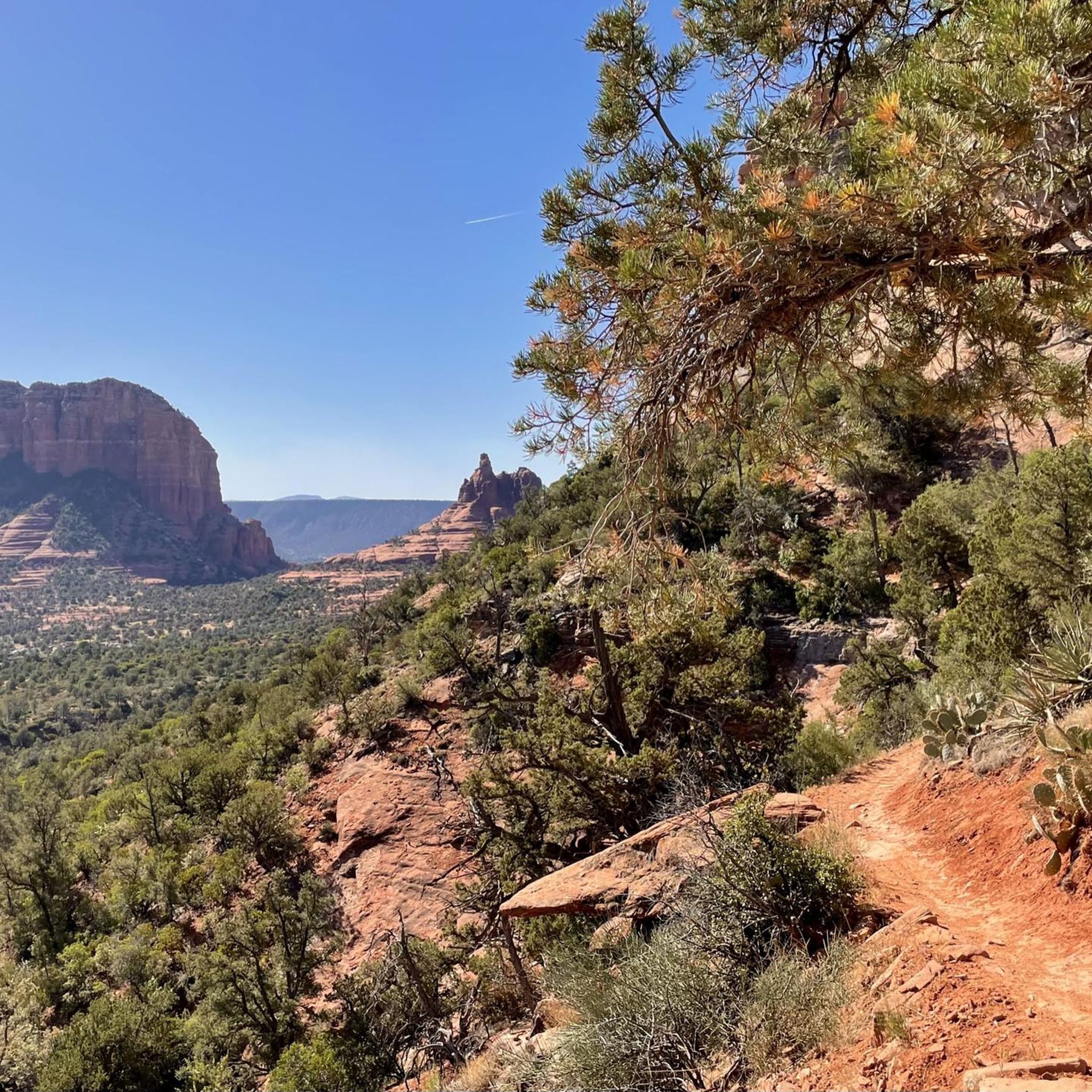
MTB Trails in Coconino National Forest
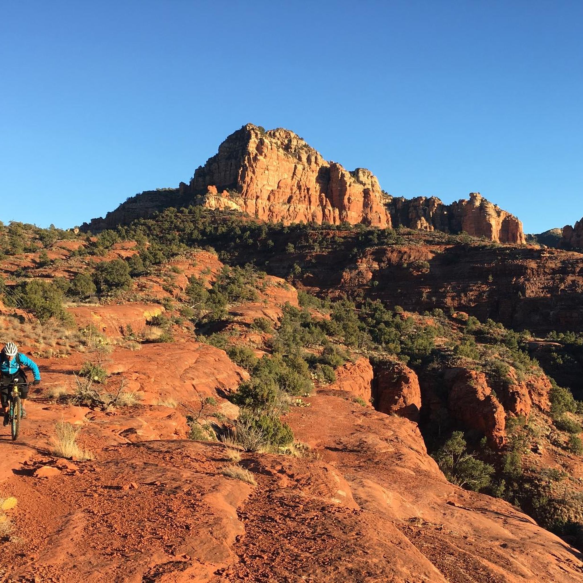
MTB Trails in Munds Mountain Wilderness
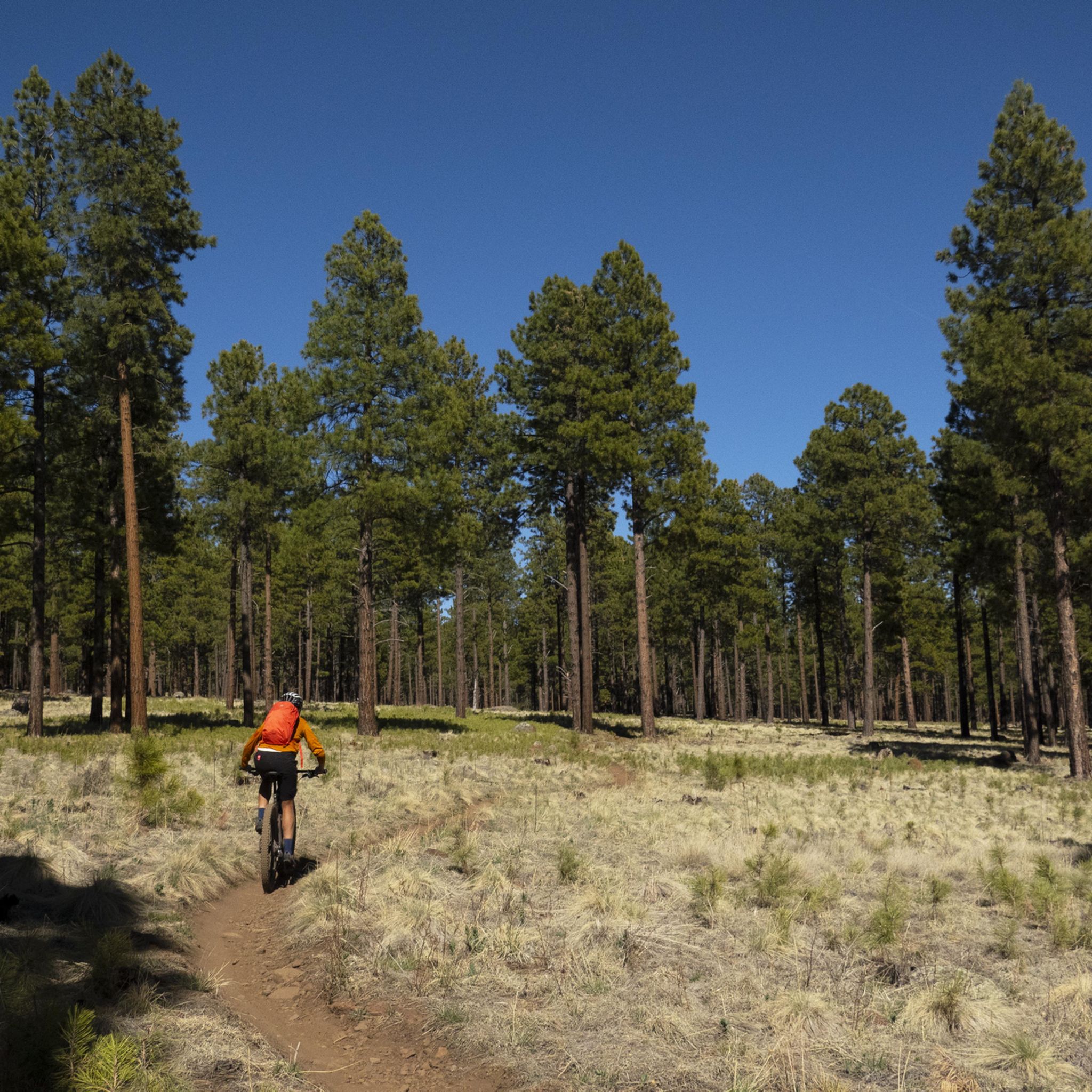
MTB Trails in the San Franciso Peaks
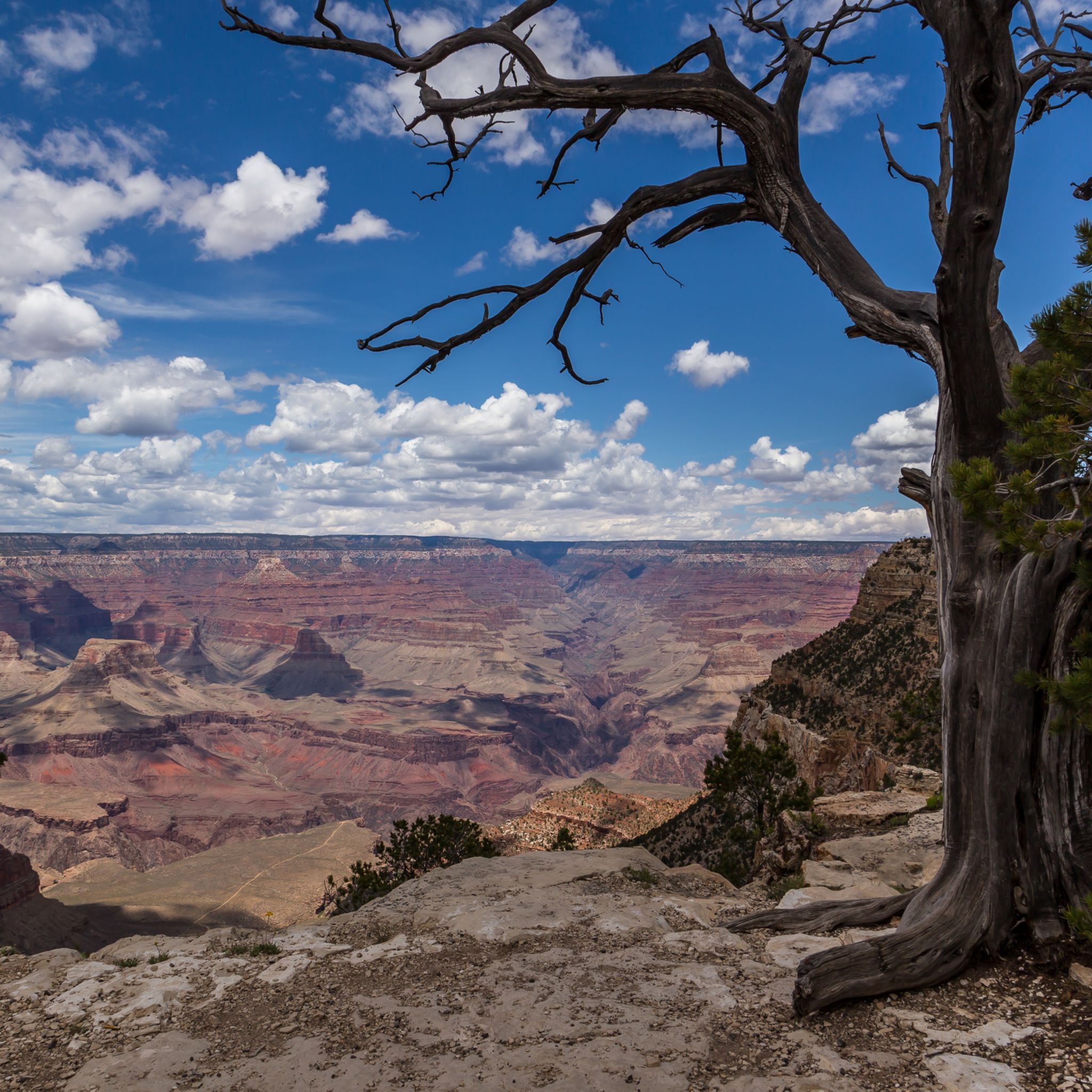
MTB Trails in the Kaibab Plateau
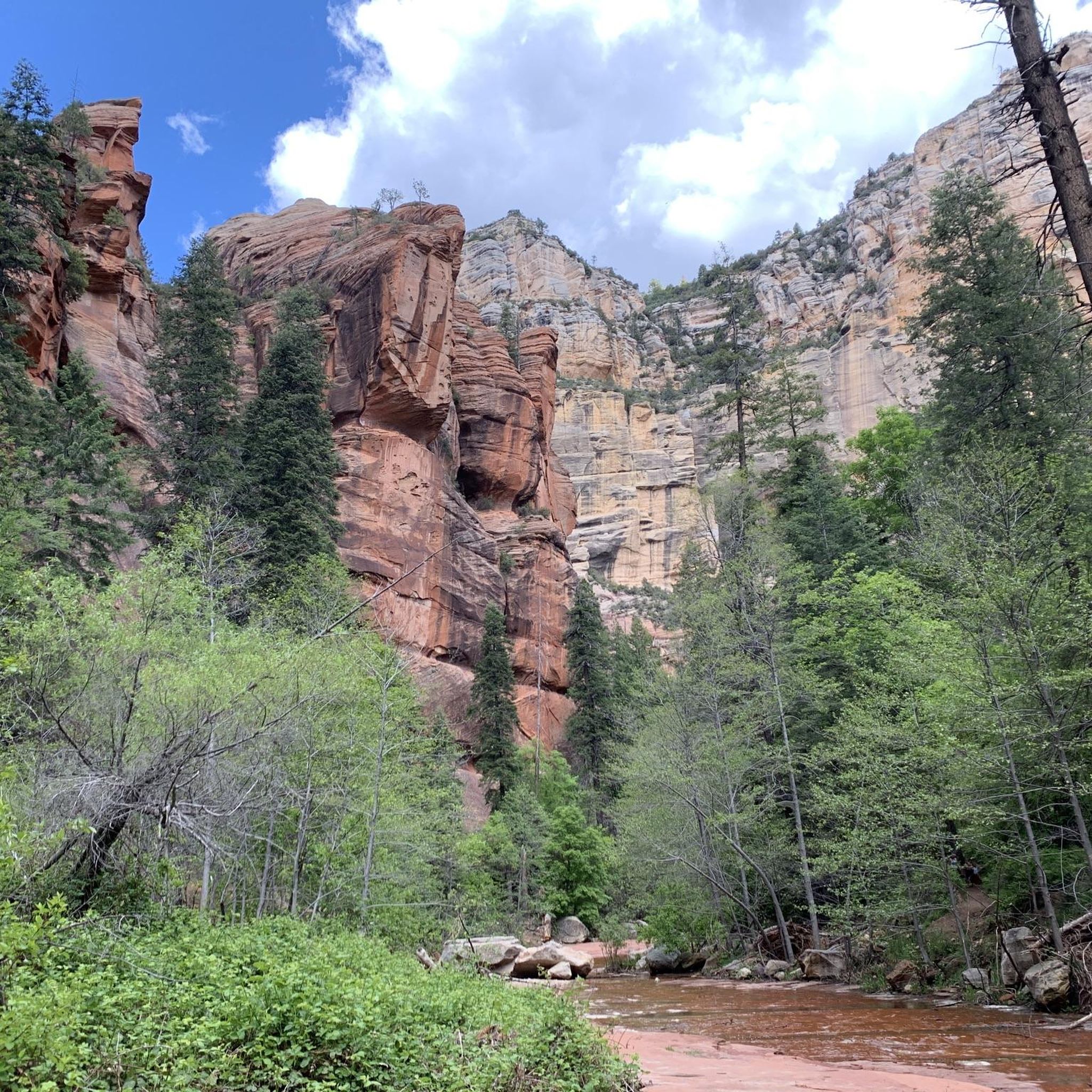
MTB Trails around Oak Creek Canyon
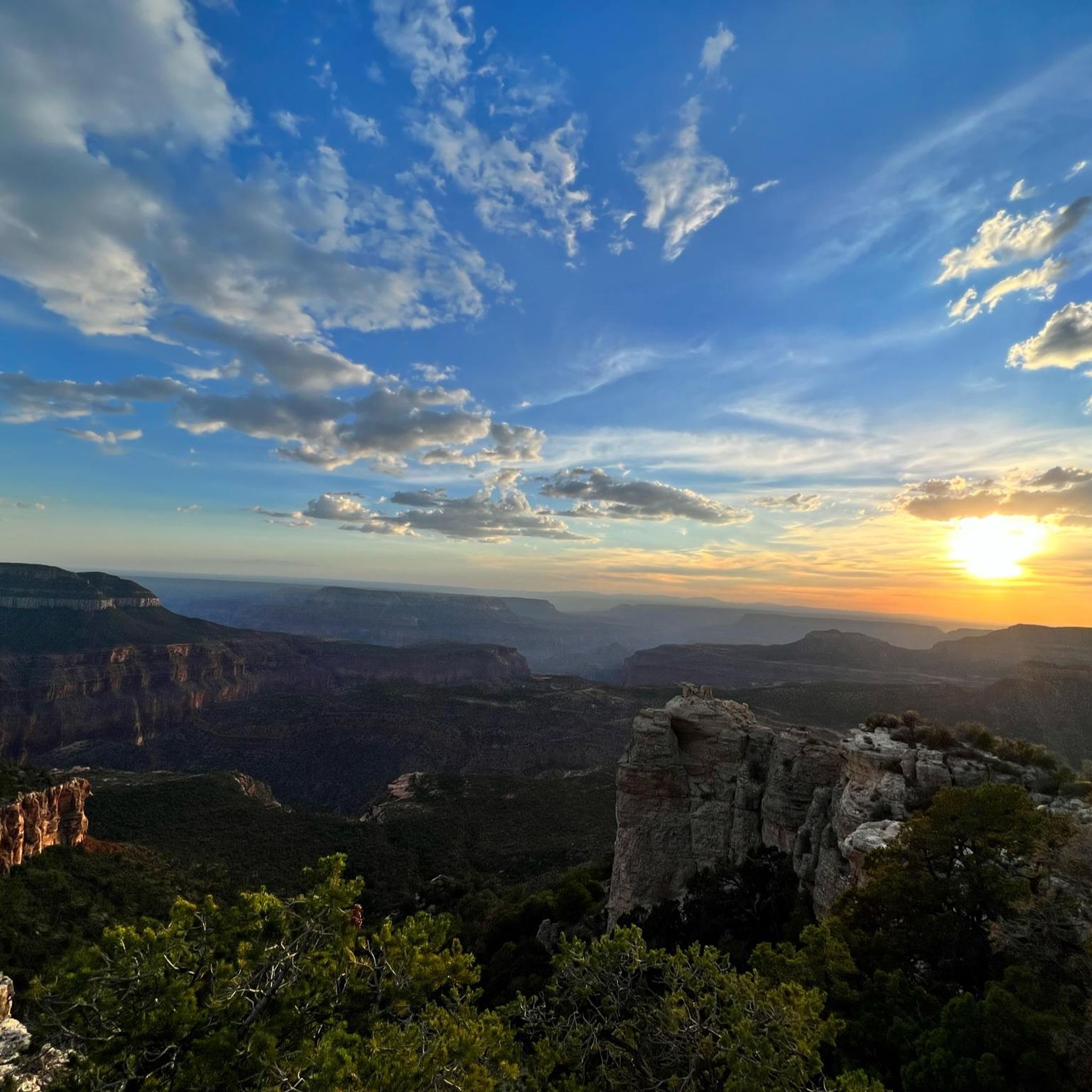
MTB Trails in Kaibab National Forest
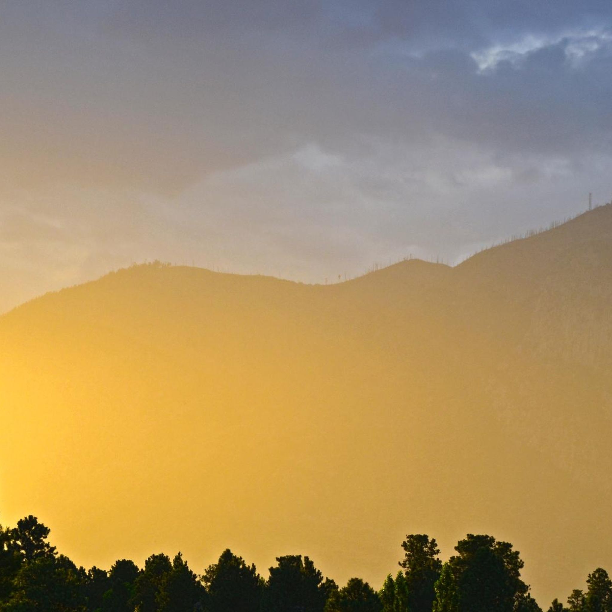
MTB Trails around Flagstaff
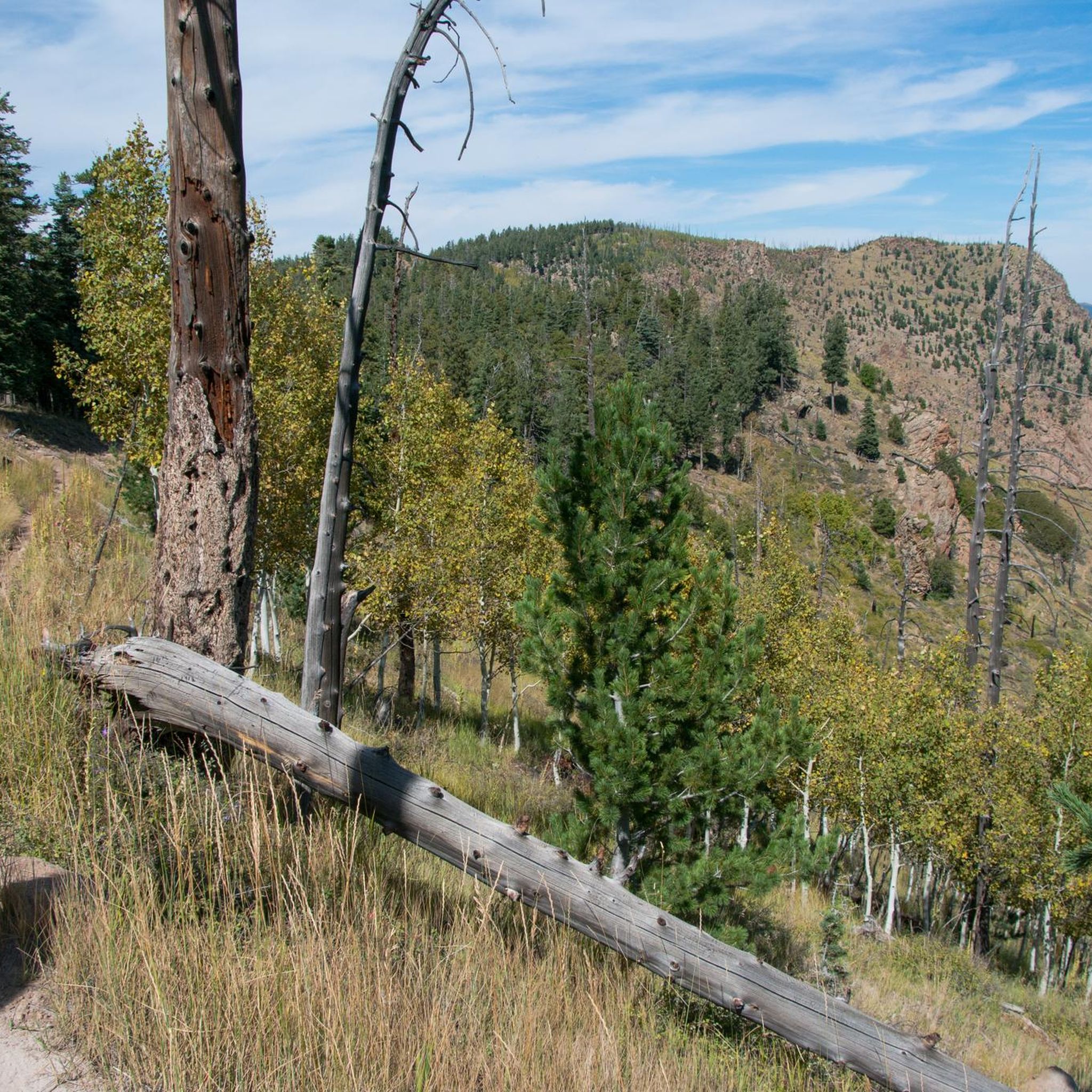
MTB Trails around Fort Valley
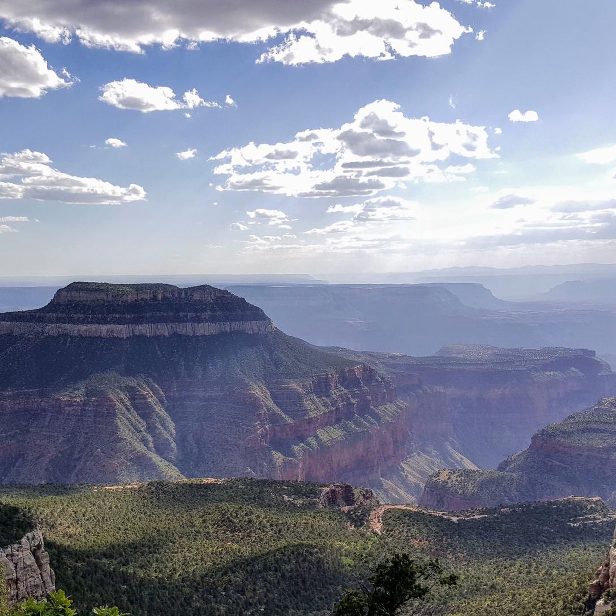
MTB Trails in Grand Canyon National Park
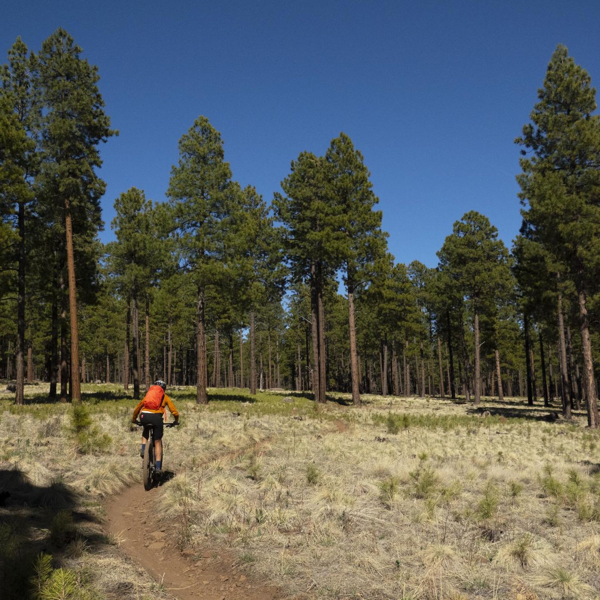
MTB Trails in Kachina Peaks Wilderness
Other adventures in Coconino County


Tips from the Community

Baaj Nwaavjo I'tah Kukveni protects over 900,000 acres of ancestral lands surrounding the Grand Canyon, sacred to 13 tribal nations. Its name—Havasupai and Hopi for "where Indigenous peoples roam" and "our ancestral footprints"—honors deep cultural ties. The monument preserves sacred sites, rare wildlife, and vital watersheds through tribal and federal collaboration. The open plateaus, canyons, and expansive desert views are truly breathtaking.
0
0

Lockett Meadow is an incredible scenic area and has great views of the surrounding mountains. The trail to get up the Locket Meadow is rough in places, but it's worth the effort for the amazing setting.
0
0

The Tunnel under Waterline 4WD Trail offers much appreciated respite from the hot sun.
0
0
Check trail conditions before you go—this area can be muddy or snow-covered well into spring. The climb up is steep and challenging, but the views of the Inner Basin are worth it. Be ready for narrow switchbacks, loose rock, and hikers on the trail. A solid set of tires and good brakes make all the difference on the descent.
0
0

The Schultz Trailhead in Flagstaff is a gateway to the Mount Elden/Dry Lake Hills Trail System. These trails are open to mountain biking and horseback riding through ponderosa pine forests and seasonal wildflower fields. The trailhead connects to routes like the Schultz Creek Trail, known for its moderate elevation changes and natural beauty. There are no restrooms, and trail closures are checked for in winter when access roads are affected by snow.
1
0

Congratulations, you've reached the high point of Hiline! Enjoy the view to the majestic Cathedral Rock and prepare for an awesome downhill waiting for you.
0
0
Don't forget to buy a Red Rock Pass if you park here. The fee is 5 Dollars for a Day Pass and 15 Dollars for a Week Pass.
0
0
Don‘t forget to buy a Red Rock Pass if you park here. The fee is 5 Dollars for a Day Pass and 15 Dollars for a Week Pass.
1
0
Frequently Asked Questions
How many mountain bike trails are available in Coconino County?
Coconino County offers a vast network of mountain bike trails, with over 160 routes documented on komoot. These trails cater to a wide range of abilities, from easy paths to very challenging technical rides.
What is the best time of year for mountain biking in Coconino County?
The best seasons for mountain biking in Coconino County are generally spring and fall, when the weather is mild and pleasant. During the warmer summer months, higher elevations, such as those found in the San Francisco Peaks area, offer cooler riding conditions. Winter can bring snow to higher elevations, making some trails inaccessible.
Are there mountain bike trails suitable for beginners or families in Coconino County?
Yes, Coconino County has trails suitable for beginners and families. For example, the Rimview Trail is an easy 10.3-mile route that winds through ponderosa pine forests. The Fort Tuthill County Park also features a bike park with sections designed for beginners, along with multi-use trails.
Are there any challenging mountain bike trails for experienced riders?
Absolutely. Coconino County is renowned for its challenging trails, particularly in the Sedona area. Expert riders often seek out routes like Hiline – MTB Trails in Sedona and Hangover – MTB Trails in Sedona, which feature technical sections, exposed ledges, and challenging rock gardens amidst stunning red rock landscapes. The 'Round the Peaks Trail offers a very difficult, long-distance challenge with significant elevation changes.
What kind of landscapes and natural features can I expect to see while mountain biking?
Coconino County offers incredibly diverse landscapes. You'll encounter iconic red rock formations, vast ponderosa pine forests, high-desert terrain, and dramatic canyons. Riders can explore areas within the Coconino National Forest, which covers 1.8 million acres, encompassing deserts, mesas, and even alpine tundra near the San Francisco Peaks. Keep an eye out for unique geological formations and breathtaking vistas.
Are there any circular mountain bike routes in Coconino County?
Yes, many routes in Coconino County are designed as loops, offering varied scenery without retracing your path. An example is the Schultz Pass loop, a difficult 11.2-mile trail. Another option is the Rainbow Rim Trail Loop, a moderate 23.7-mile ride.
Where can I find parking for mountain bike trails in Coconino County?
Parking availability varies by trailhead. Many popular trail systems, especially around Flagstaff and Sedona, have designated parking areas. For instance, Fort Tuthill County Park offers ample parking for its bike park and multi-use trails. It's always advisable to check specific trail information or local resources for detailed parking instructions before heading out.
What do other mountain bikers say about the trails in Coconino County?
The mountain bike trails in Coconino County are highly rated by the komoot community, with an average score of 4.6 stars from over 60 reviews. Riders frequently praise the diverse terrain, stunning scenery, and the variety of options available for all skill levels. Many highlight the unique red rock formations and the immersive experience of riding through ponderosa pine forests.
Are there any bike parks or dedicated mountain biking facilities in the area?
Yes, Fort Tuthill County Park in Flagstaff features a state-of-the-art bike park designed for all skill levels, from beginners to experts, set amidst ponderosa pines. This park also offers multi-use trails for broader outdoor enjoyment. You can find more information about dedicated biking facilities in the Bike Parks in Coconino County guide.
What are some notable attractions or points of interest near the mountain bike trails?
Coconino County is rich with natural wonders and attractions. While mountain biking, you're often near iconic sites like the Grand Canyon National Park, Lake Powell, and Glen Canyon. Other notable features include the slot canyons of Antelope Canyon, the majestic Hanging Garden, and the San Francisco Peaks. The Broken Arrow Trail is also a popular highlight.
Can I bring my dog on the mountain bike trails in Coconino County?
Many trails within the Coconino National Forest are dog-friendly, but regulations can vary by specific trail or wilderness area. It's always best to check the local rules for the particular trail you plan to ride. Generally, dogs should be kept on a leash and owners are responsible for cleaning up after their pets.
How does elevation change on Coconino County mountain bike trails?
Elevation changes significantly across Coconino County due to its diverse topography, ranging from high-desert to alpine environments. Trails can feature gradual climbs and descents, or steep, challenging ascents and technical downhills. For example, the Lockett Meadow via Waterline Road route involves over 1000 meters of elevation gain, offering a strenuous workout and rewarding views.
Most popular routes in Coconino County
Most popular attractions in Coconino County

Get inspired with the komoot mobile app


Didn’t find what you were looking for?
Check out more MTB trails throughout Coconino County below and find the perfect route in your destination.
Explore more
Browse the best MTB trails in other regions.
