The best dog-friendly hikes and walks in Southeastern Connecticut Planning Region
4.7
(59)
847
hikers
8
hikes
Dog friendly hiking trails in Southeastern Connecticut Planning Region offer a diverse landscape for outdoor activities. The region features a blend of coastal scenery, extensive woodlands, and serene river valleys. Hikers can explore trails along the Long Island Sound, providing ocean vistas, or venture inland through dense forests and picturesque river paths. The terrain includes varied elevation changes, from gentle coastal walks to moderate forest climbs.
Best dog friendly hiking trails in Southeastern Connecticut Planning Region
- The most popular dog…
Last updated: October 11, 2026
8
hikers
7.23km
01:53
50m
50m
Easy hike. Great for any fitness level. Easily-accessible paths. Suitable for all skill levels.
2
hikers
14.1km
03:41
110m
90m
Moderate hike. Good fitness required. Easily-accessible paths. Suitable for all skill levels.

1
hikers
3.95km
01:00
0m
0m
Easy hike. Great for any fitness level. Easily-accessible paths. Suitable for all skill levels.
1
hikers
6.71km
01:46
60m
60m
Easy hike. Great for any fitness level. Easily-accessible paths. Suitable for all skill levels.
18
hikers
4.09km
01:02
10m
10m
Easy hike. Great for any fitness level. Easily-accessible paths. Suitable for all skill levels.
Get access to more routes and recommendations from other explorers.
Already have an account?
Our route recommendations are based on thousands of hikes, rides, and runs completed by other people on komoot.
Start today with a free account
Your next adventure awaits.




Other adventures in Southeastern Connecticut Planning Region

Tips from the Community

Easy to get to, plenty of parking, mostly flat, not a lot of tripping hazards for a woods run, and easy length at 4 miles. Highly recommend!
0
0

Nice State Park with a swim beach, hiking trails, picnic area, snack bar, great birding, etc.
0
0

Orient Beach is a small, beautiful beach on a narrow strip of land on Orient Point. The beach is part of Orient Beach State Park and a must visit if in the area.
0
0

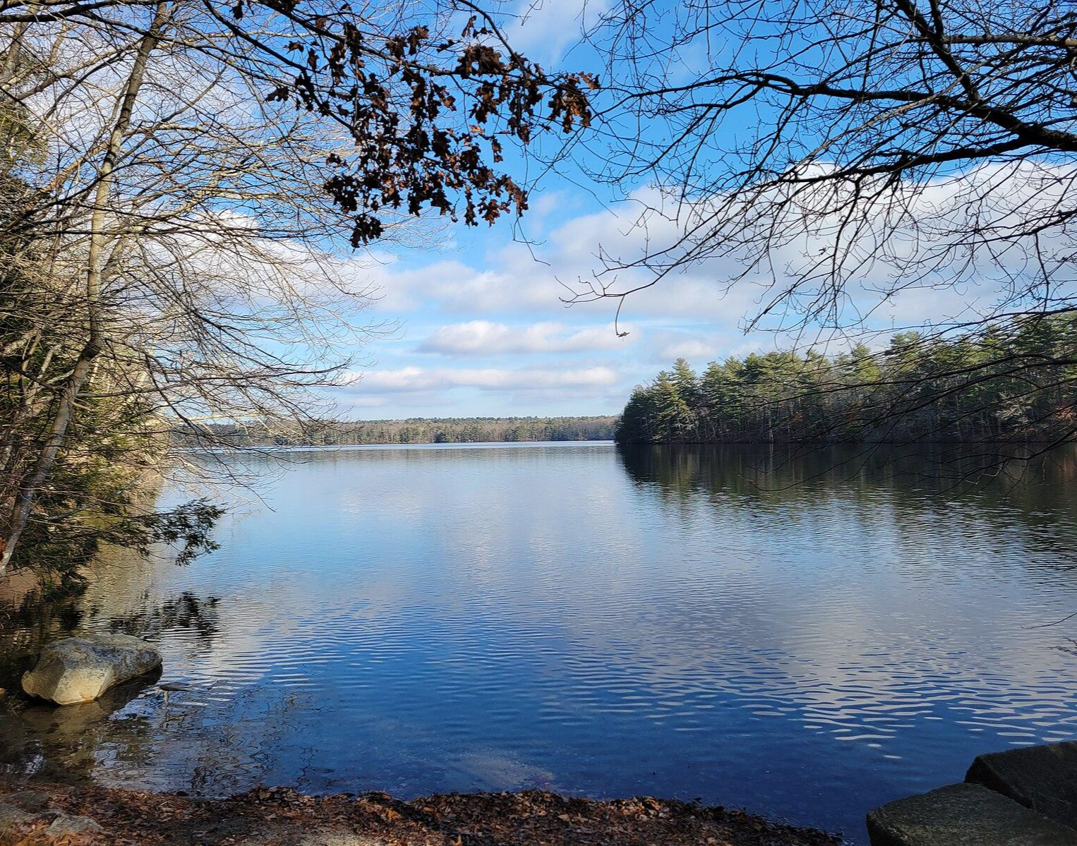
Tillinghast Pond is a small reservoir that serves as the centerpiece of the Tillinghast Pond Management Area. There are multiple trails that leave from the southern end of the pond, and one path even circles around the banks of the water.
0
0

Wickaboxet Management Area is a 678-acre patch of forest and wetlands that was founded in 1932.
0
0

Orient Beach is renowned for its abundance of seashells. Keep your eyes peeled for unique treasures and create lasting memories while combing the coastline.
0
0

From Main Street you can see the curve of Niantic Beach and over to the Niantic River Bridge which spans the mouth of the Niantic River, known as 'The Gut'. It was opened in 2012 and is a moveable bridge. When in its raised position, it is an easy landmark to spot.
0
0
Frequently Asked Questions
How many dog-friendly hiking trails are available in Southeastern Connecticut Planning Region?
There are 8 dedicated dog-friendly hiking trails in the Southeastern Connecticut Planning Region featured in this guide. These routes offer a variety of experiences for you and your canine companion.
What types of landscapes can I expect on dog-friendly hikes in this region?
The Southeastern Connecticut Planning Region offers a diverse range of landscapes for dog-friendly hikes. You can explore coastal trails with stunning ocean vistas, extensive woodlands, and serene river valleys. Many trails traverse state parks, providing a mix of natural beauty and well-maintained paths.
Are there easy dog-friendly trails suitable for all fitness levels?
Yes, the region has several easy dog-friendly trails perfect for a leisurely stroll with your dog. For example, the Wickaboxet Loop Trail is an easy 6.7 km route, and the Niantic River Bridge and Beach loop from Niantic is a shorter, easy 3.6 km option, both offering pleasant walks.
What are some popular dog-friendly loop trails in the area?
Loop trails are great for dogs as they offer varied scenery without retracing your steps. The Tillinghast Pond and Wickaboxet Loop is a moderate 14 km option, while the Rocky Neck State Beach – Moor lookout loop from Rocky Neck State Park provides an easy 6.5 km coastal experience.
What do other hikers say about dog-friendly trails in Southeastern Connecticut Planning Region?
The dog-friendly trails in this region are highly regarded by the komoot community, with an average rating of 4.6 out of 5 stars from 44 reviews. Hikers often praise the well-maintained paths, diverse scenery, and the opportunity to enjoy nature with their dogs.
Are there any dog-friendly trails that offer coastal views?
Absolutely! The region is known for its beautiful coastal scenery. The Rocky Neck State Beach – Moor lookout loop from Rocky Neck State Park offers diverse paths, including areas with a tidal river and views of the Long Island Sound. Another option is the Niantic River Bridge and Beach loop from Niantic, which provides pleasant coastal walking.
Can I find dog-friendly trails with historical landmarks or points of interest?
Yes, some trails are near interesting landmarks. While not directly on a featured dog-friendly route, you can find trails in areas like Gillette Castle State Park, which offers views of the Connecticut River and the unique Gillette Castle. Harkness Memorial State Park also offers a historical site alongside natural exploration.
Are there any dog-friendly trails near water features like lakes or rivers?
Many trails in the region incorporate water features. The Tillinghast Pond and Wickaboxet Loop takes you around Tillinghast Pond. Additionally, areas like the Salmon River Trail (not a featured route, but in the region) are known for following picturesque river valleys, and Billings Lake is another natural feature in the area.
What is the best time of year to hike with my dog in Southeastern Connecticut?
Spring and fall are generally ideal for hiking with dogs in Southeastern Connecticut. The temperatures are milder, and the natural scenery is vibrant, with blooming flowers in spring and colorful foliage in autumn. Summer can be pleasant, especially on coastal trails, but be mindful of heat and humidity. Winter hikes are also possible, but trails might be icy or snowy.
Are there any moderate dog-friendly trails for a more challenging hike?
For those seeking a bit more challenge, there are moderate dog-friendly trails available. The Tillinghast Pond and Wickaboxet Loop is a moderate 14 km route with some elevation gain. Another moderate option is the Niantic River Bridge and Beach – Baptist Hill loop from Niantic, which covers 8.3 km.
Where can I find information about open spaces and conservation efforts in the region?
The Southeastern Connecticut Planning Region is committed to preserving open space for recreation, biodiversity, and tourism. You can find more information about these efforts and the region's dedication to natural areas by visiting the Southeastern Connecticut Council of Governments website.
Most popular routes in Southeastern Connecticut Planning Region
Most popular attractions in Southeastern Connecticut Planning Region

Get inspired with the komoot mobile app


Didn’t find what you were looking for?
Check out more Hikes throughout Southeastern Connecticut Planning Region below and find the perfect route in your destination.
Explore more
Browse the best Hikes in other regions.
