The best road cycling routes in Southeastern Connecticut Planning Region
4.7
(58)
1,220
riders
226
rides
Road cycling in Southeastern Connecticut Planning Region offers diverse terrain, blending coastal scenery with serene woodlands and river views. The region is characterized by its varied landscape, including the Long Island Sound shoreline, prominent rivers like the Mystic, and numerous state parks. Cyclists can navigate routes that feature coastal vistas, forested sections, and views of lakes and historic landmarks. This commitment to enhancing bike-friendly infrastructure makes Southeastern Connecticut an attractive destination for road cyclists.
Best road cycling routes in Southeastern…
Last updated: October 10, 2026
4
riders
51.6km
02:23
440m
440m
This moderate 32.1-mile road cycling route from Gardner Lake to Devil's Hopyard State Park offers scenic New England views and Chapman Falls
5.0
(2)
2
riders
54.0km
02:46
590m
590m
This moderate 33.6-mile road cycling loop near Norwich, Connecticut, offers 1945 feet of elevation gain and scenic New England countryside.

59.1km
02:49
600m
600m
Cycle 36.7 miles from Norwichtown to Canterbury, Connecticut, on a moderate route with 1954 feet of elevation gain through scenic, historic
60.2km
02:46
560m
560m
This moderate 37.4-mile road cycling loop from Norwichtown to Windham offers scenic views and 1832 feet of elevation gain.
5.0
(1)
36
riders
57.1km
02:26
340m
340m
Moderate road ride. Good fitness required. Mostly well-paved surfaces and easy to ride.
5.0
(1)
26
riders
97.2km
04:58
1,150m
1,150m
Hard road ride. Very good fitness required. Mostly well-paved surfaces and easy to ride.
24
riders
Moderate road ride. Good fitness required. Mostly well-paved surfaces and easy to ride.
20
riders
144km
07:22
1,810m
1,810m
Hard road ride. Very good fitness required. Mostly well-paved surfaces and easy to ride.
23
riders
73.8km
03:26
430m
430m
Moderate road ride. Good fitness required. Mostly well-paved surfaces and easy to ride.
28
riders
Easy road ride. Great for any fitness level. Mostly well-paved surfaces and easy to ride.
Get access to more routes and recommendations from other explorers.
Already have an account?
Our route recommendations are based on thousands of hikes, rides, and runs completed by other people on komoot.
Start today with a free account
Your next adventure awaits.
Popular around Southeastern Connecticut Planning Region
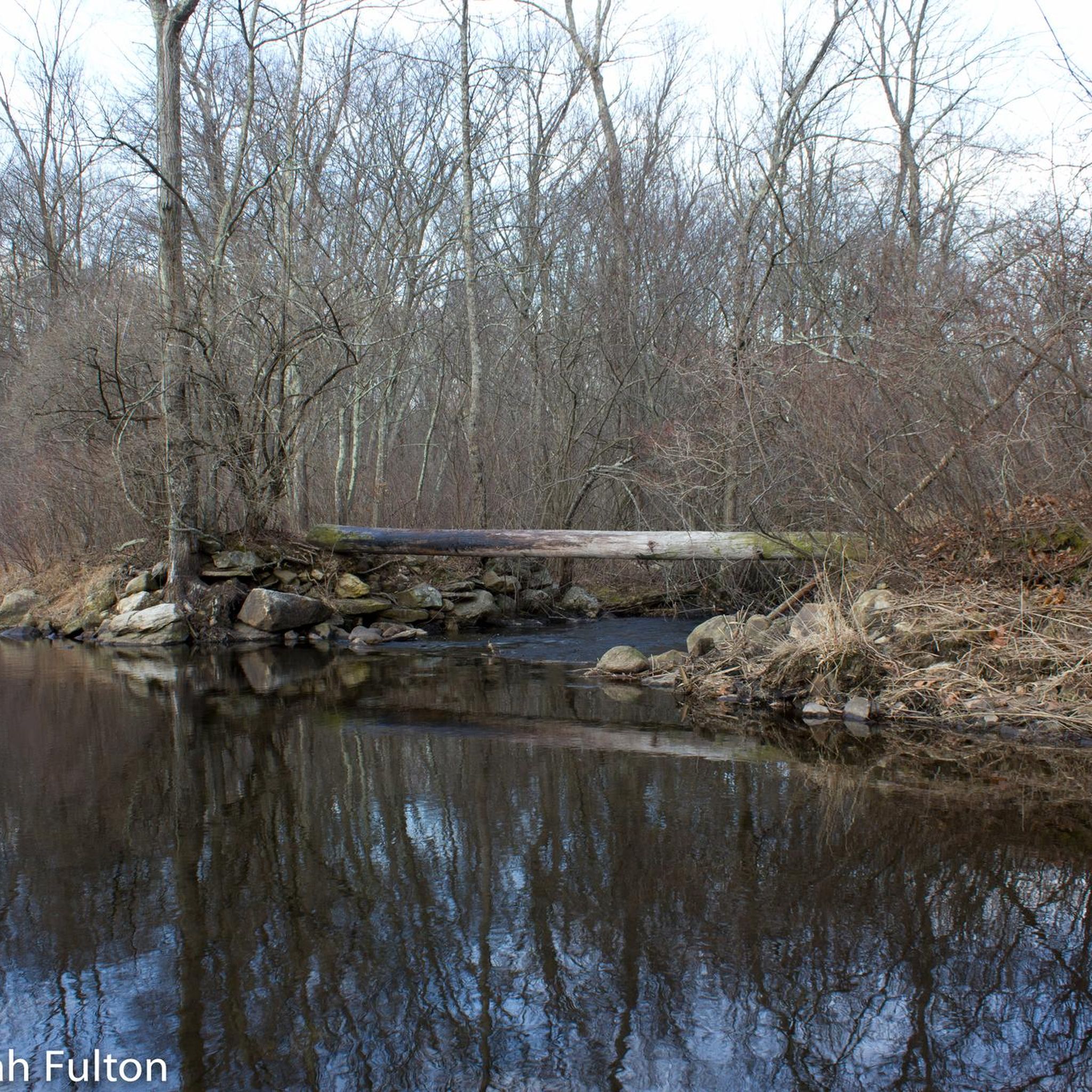
Road Cycling Routes in Mooween State Park
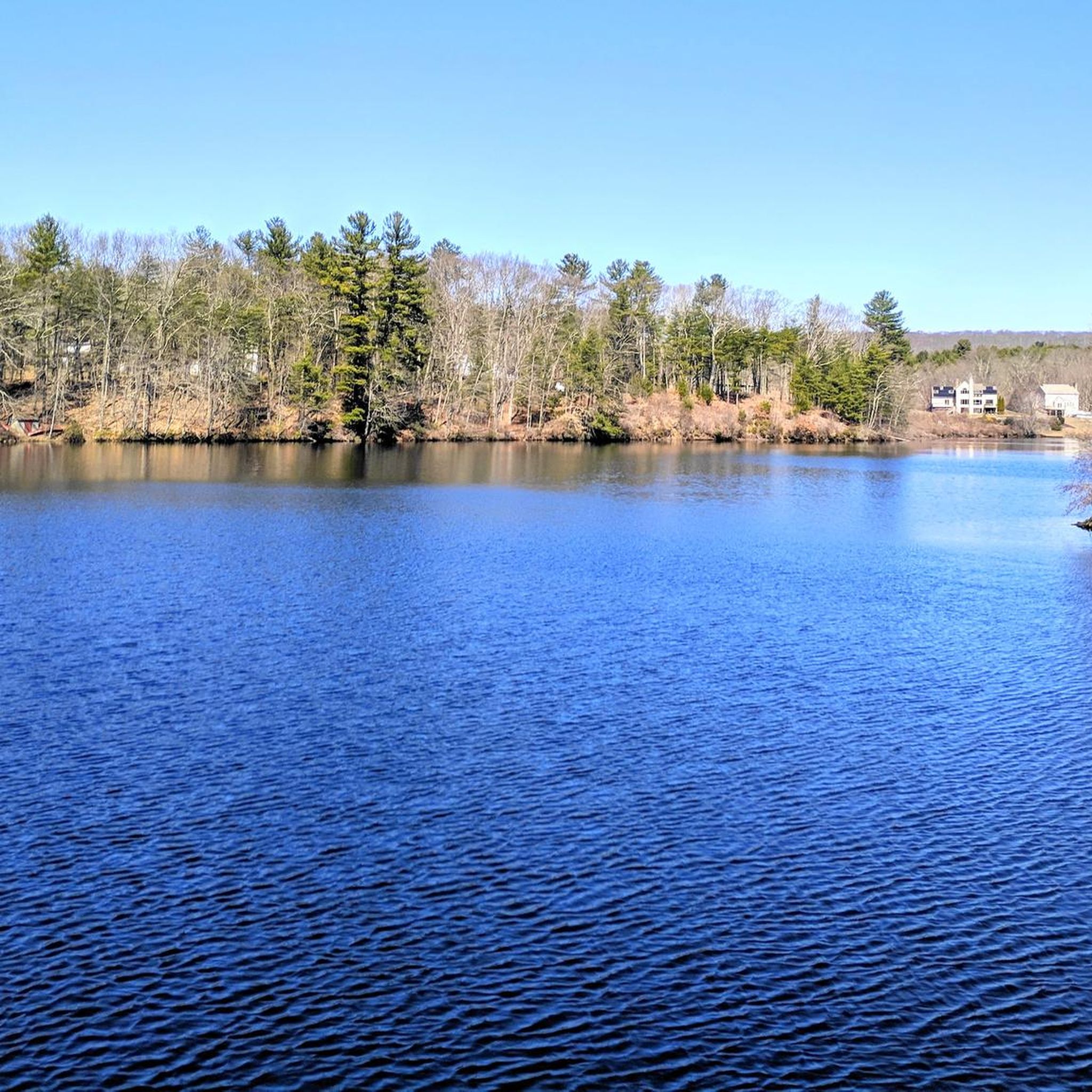
Road Cycling Routes around Norwich
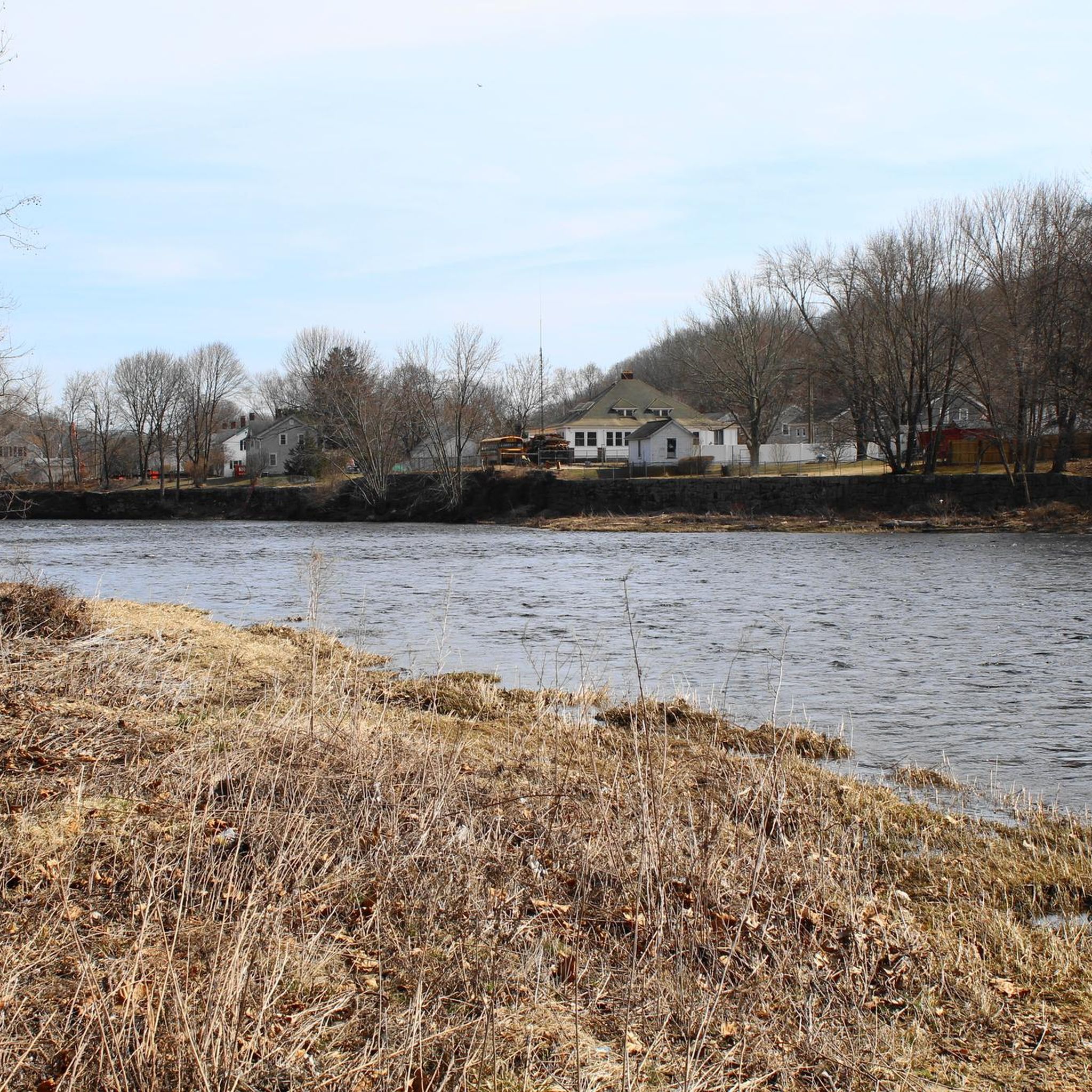
Road Cycling Routes around Baltic
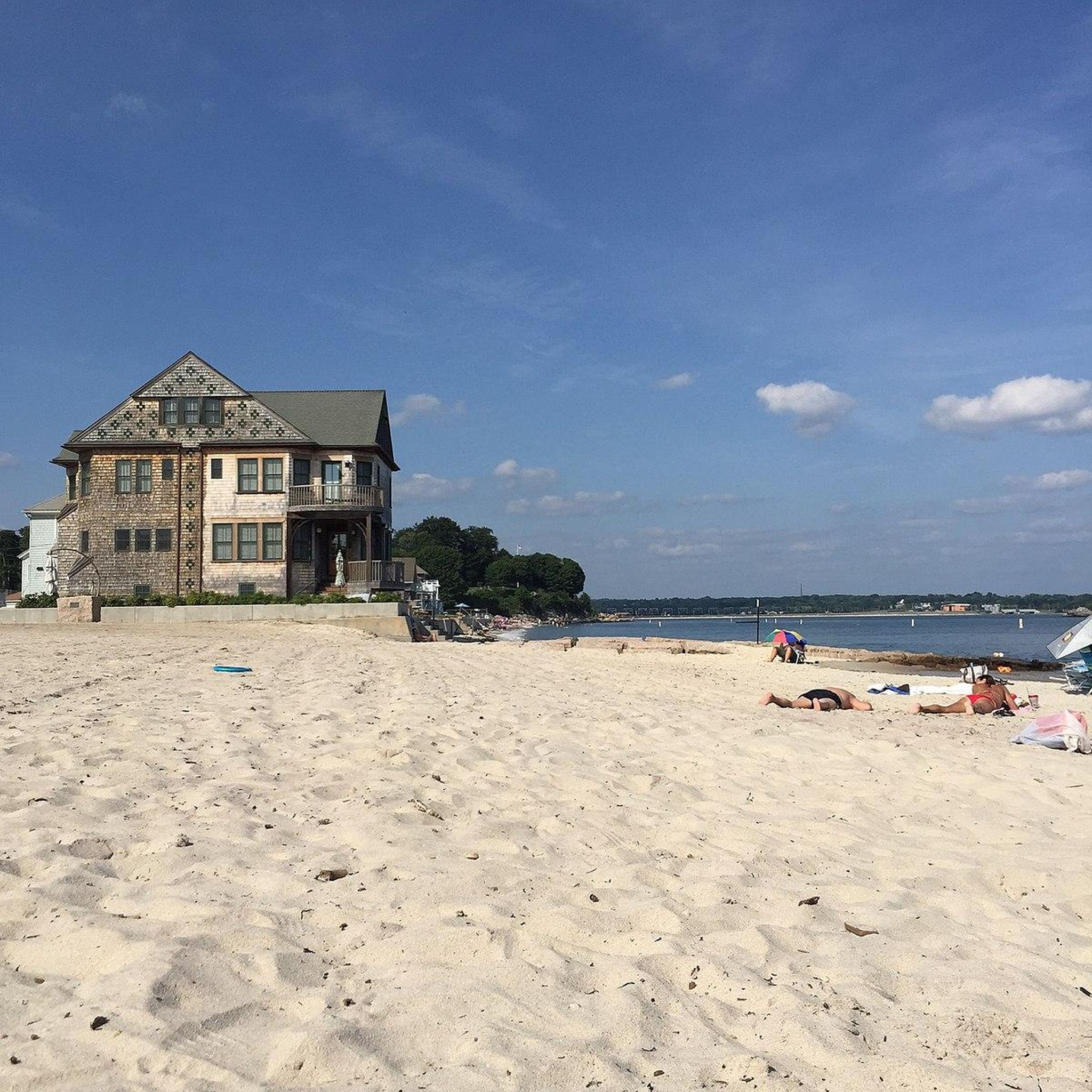
Road Cycling Routes around Niantic
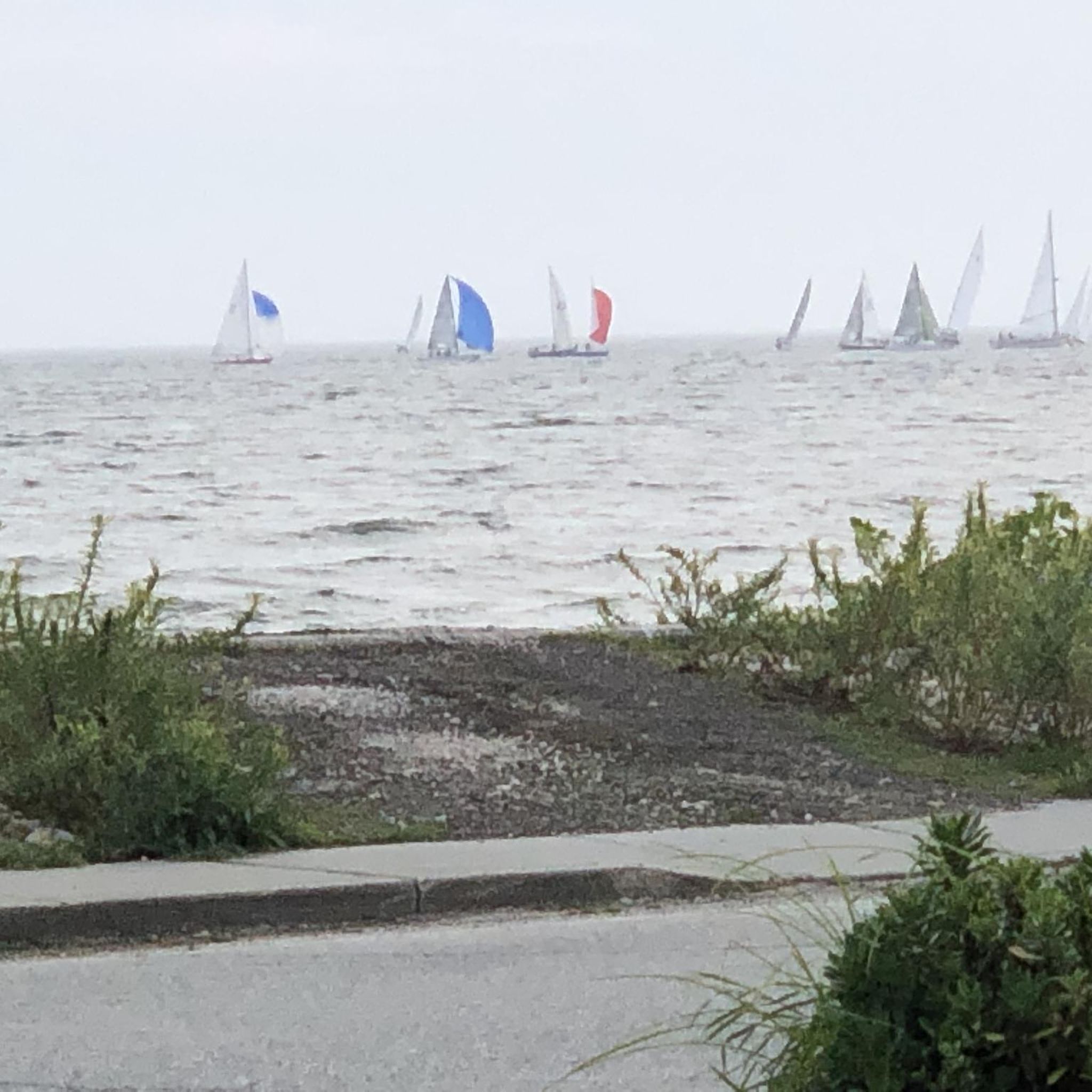
Road Cycling Routes around Groton Long Point

Road Cycling Routes around Gales Ferry
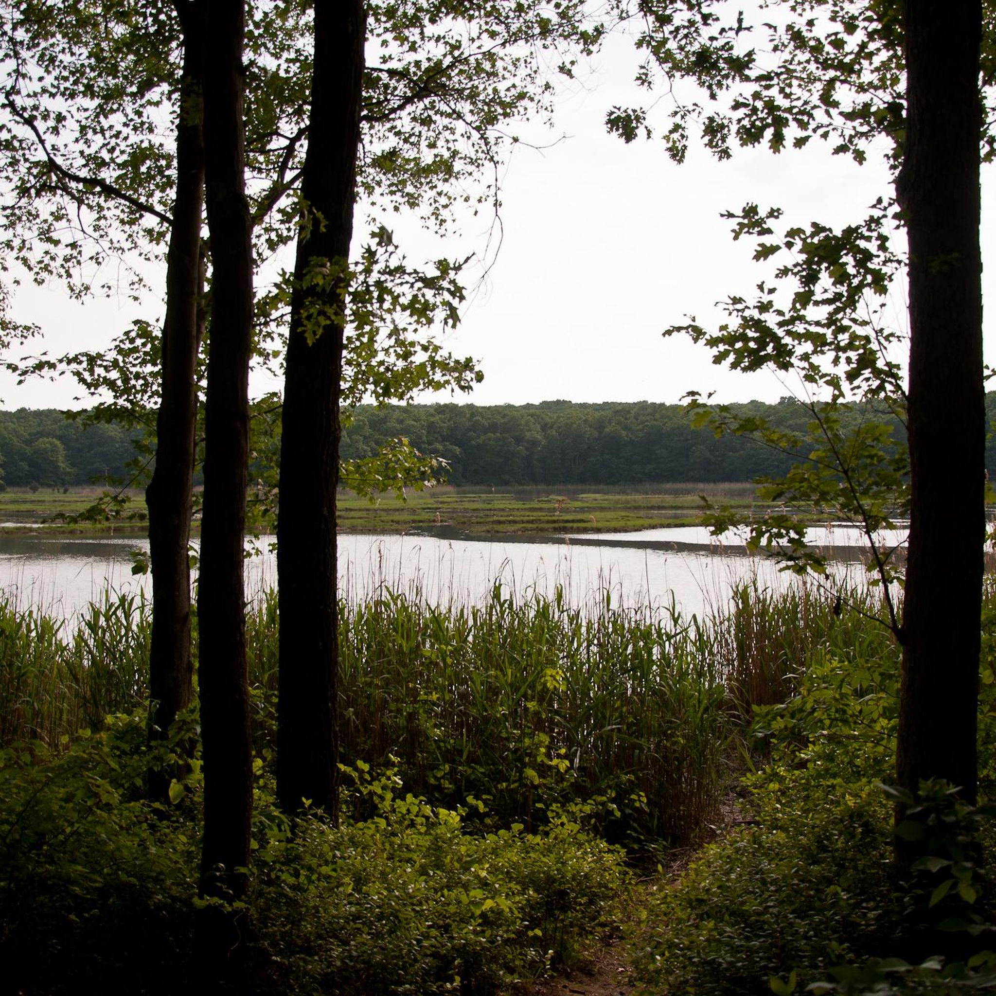
Road Cycling Routes in Rocky Neck State Park
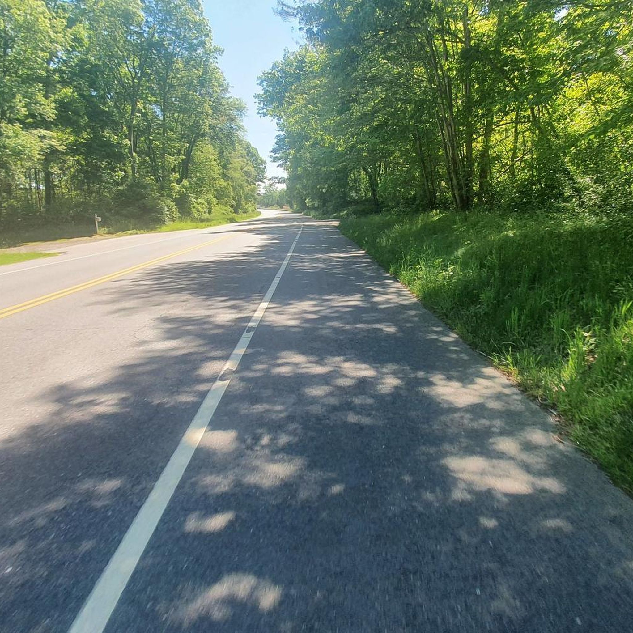
Road Cycling Routes around Noank

Road Cycling Routes around Oxoboxo River
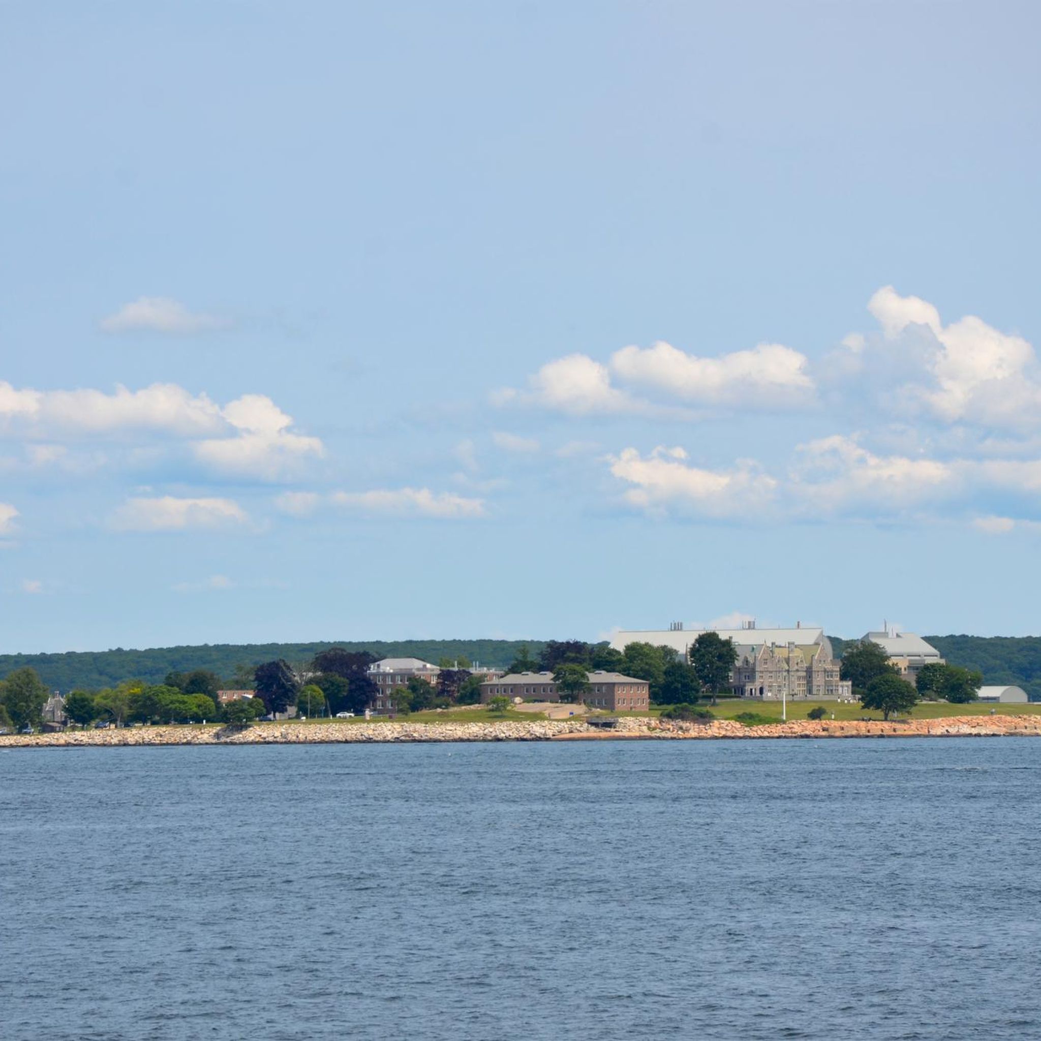
Road Cycling Routes around Groton
Other adventures in Southeastern Connecticut Planning Region

Tips from the Community

Crescent Beach in Connecticut is a picturesque stretch of sandy beach in a crescent shape. This small beach is a great spot for sunbathing, swimming, and picnicking. This beach is well-maintained and has restrooms, showers, and lifeguards during peak seasons.
0
0

Right across from the Cypress Cemetery, a historic spot in its own right, is the original location of Yale College. There is a large stone with a plaque and an informational sign marking the spot.
0
0

Beaver Brook Road takes you past some nice homes and through the Nehantic State Forest. Nehantic was the first state forest in New London County. Area activities include boating, picnicking, hiking, swimming and hunting.
0
0

This town embodies the quintessential charm of New England, with its picturesque Main Street lined with boutiques, cafes, and historic landmarks.
0
0

Griswold Preserve is a beautiful wetland with plenty of wildlife to see. There aren't any roads running through it so you'll have to step off the bike to take a closer look. Perfect for a mid ride break.
0
0
A beautiful town hall on a peaceful street. The architecture is fitting of the area and makes a pleasing sight. Perfect for a mid ride photo.
0
0
You'll gain lovely views of the pond on both sides of the road as you cycle over it. Keep your eye out for the varied bird life that inhabits the area around the ponds. As it is a busy road, it is best to take in the sights whilst continuing to cycle.
0
0

Fort Trumbull is a historic fort on the Thames River on Long Island Sound in New London, Connecticut. It is named after Governor Jonathan Trumbull and was originally built in 1777.
0
0
Frequently Asked Questions
How many road cycling routes are available in Southeastern Connecticut Planning Region?
The Southeastern Connecticut Planning Region offers a wide variety of road cycling experiences, with over 240 routes documented on komoot. These routes cater to different skill levels, including 71 easy, 163 moderate, and 12 difficult options.
What kind of terrain can I expect on road cycling routes in Southeastern Connecticut?
Road cycling in Southeastern Connecticut Planning Region features a diverse landscape. You'll find routes with coastal scenery, serene woodlands, and river views, particularly along the Long Island Sound shoreline and rivers like the Mystic. The terrain includes a mix of flat sections and challenging climbs, offering options for various fitness levels.
Are there any easy road cycling routes suitable for beginners or families?
Yes, the region has 71 easy road cycling routes. For a scenic and less strenuous ride, consider the Harkness Memorial State Park – New London Harbor Lighthouse loop from East Lyme, which is an easy 40.4 km (25.1 miles) route with minimal elevation gain, offering coastal views.
What are some notable landmarks or scenic viewpoints I can see while cycling?
Many routes offer scenic views and pass by interesting landmarks. You can cycle past the historic Harkness Memorial State Park, enjoy picturesque scenes of the Mystic River from the Mystic River Bascule Bridge, or pause at the Hoxie Scenic Overlook for pleasant views over the Mystic River. The New London Harbor Lighthouse is another prominent landmark visible on some coastal rides.
Are there any challenging road cycling routes for experienced riders?
Absolutely. For experienced cyclists seeking a challenge, the region offers 12 difficult routes. A demanding option is the Devil's Hopyard State Park – Nice quiet road loop from New London, a 144.7 km (89.9 miles) route with significant elevation gain, providing a rigorous workout through varied landscapes.
What do other road cyclists enjoy most about the routes in Southeastern Connecticut Planning Region?
The road cycling routes in Southeastern Connecticut Planning Region are highly rated by the komoot community, with an average score of 4.8 stars from over 40 reviews. Cyclists often praise the diverse scenery, which blends coastal vistas with serene woodlands and river valleys, as well as the variety of routes suitable for different skill levels.
Are there any loop routes available for road cycling?
Yes, many road cycling routes in the region are designed as loops. For example, the Occum to North Windham loop is a moderate 54.0 km (33.6 miles) route featuring rolling terrain through rural landscapes. Another option is the Norwichtown to Windham loop, a 60.2 km (37.4 miles) moderate ride.
What is the best time of year to go road cycling in Southeastern Connecticut?
The Southeastern Connecticut Planning Region is enjoyable for road cycling across multiple seasons. Spring and fall offer pleasant temperatures and beautiful foliage, while summer provides warm weather for coastal rides. Always check local weather conditions before heading out, as coastal areas can experience different conditions than inland routes.
Are there any routes that pass through state parks?
Yes, several routes offer access to or views of the region's state parks. For instance, the Gardner Lake to Devil's Hopyard State Park route leads directly to Devil's Hopyard State Park. Other parks like Harkness Memorial State Park and Bluff Point State Park also feature paths suitable for cycling or are part of scenic routes.
Where can I find information about regional planning for cycling infrastructure?
The Southeastern Connecticut Council of Governments (SECOG) actively works on open space planning and enhancing bike-friendly infrastructure in the region. You can find more information about their initiatives and plans, including the 2019 Regional Bike and Pedestrian Plan, on their website: SECOG Bike and Pedestrian Plan.
Are there any routes that offer views of the Long Island Sound?
Yes, the region's coastal areas provide excellent opportunities for rides with Long Island Sound views. Routes near Bluff Point State Park and Harkness Memorial State Park often feature stunning coastal scenery. The proposed Eastern Shoreline Path also aims to create a continuous bike-friendly route along the coast.
Can I find routes that explore the Mystic River area?
Absolutely. The Mystic River is a prominent natural feature in the region, and several routes offer scenic views along its banks. While not explicitly listed as a komoot route in the guide data, the easy 4.2-mile River Road is known for its scenic views along the Mystic River, and the Mystic River Bascule Bridge is a notable landmark in the area.
Most popular routes in Southeastern Connecticut Planning Region
Most popular attractions in Southeastern Connecticut Planning Region

Get inspired with the komoot mobile app


Didn’t find what you were looking for?
Check out more Road cycling routes throughout Southeastern Connecticut Planning Region below and find the perfect route in your destination.
Explore more
Browse the best Road cycling routes in other regions.
