The best traffic-free bike rides around Eglingen
4.6
(218)
4,739
riders
99
rides
No traffic road cycling routes around Eglingen are situated within a region of Baden-Württemberg characterized by picturesque hills, lush forests, and idyllic valleys. The landscape offers a mix of terrain, from gentle field paths to routes with varying elevations, suitable for different fitness levels. Cyclists can find well-maintained cycle paths and roads with good asphalt, providing diverse options for exploration. The area's natural features contribute to an engaging outdoor experience for road cyclists.
Best no traffic road cycling routes around…
Last updated: October 8, 2026
4.7
(12)
31
riders
54.8km
02:44
310m
310m
Moderate road ride. Good fitness required. Mostly well-paved surfaces and easy to ride.
5.0
(2)
40
riders
Easy road ride. Great for any fitness level. Mostly well-paved surfaces and easy to ride.

5.0
(1)
41
riders
40.6km
01:43
210m
210m
Easy road ride. Great for any fitness level. Mostly well-paved surfaces and easy to ride.
5.0
(2)
42
riders
41.6km
01:44
280m
280m
Easy road ride. Great for any fitness level. Mostly well-paved surfaces and easy to ride.
30
riders
66.7km
02:49
390m
390m
Moderate road ride. Good fitness required. Mostly well-paved surfaces and easy to ride.
Get access to more routes and recommendations from other explorers.
Already have an account?
Our route recommendations are based on thousands of hikes, rides, and runs completed by other people on komoot.
Start today with a free account
Your next adventure awaits.

Tips from the Community

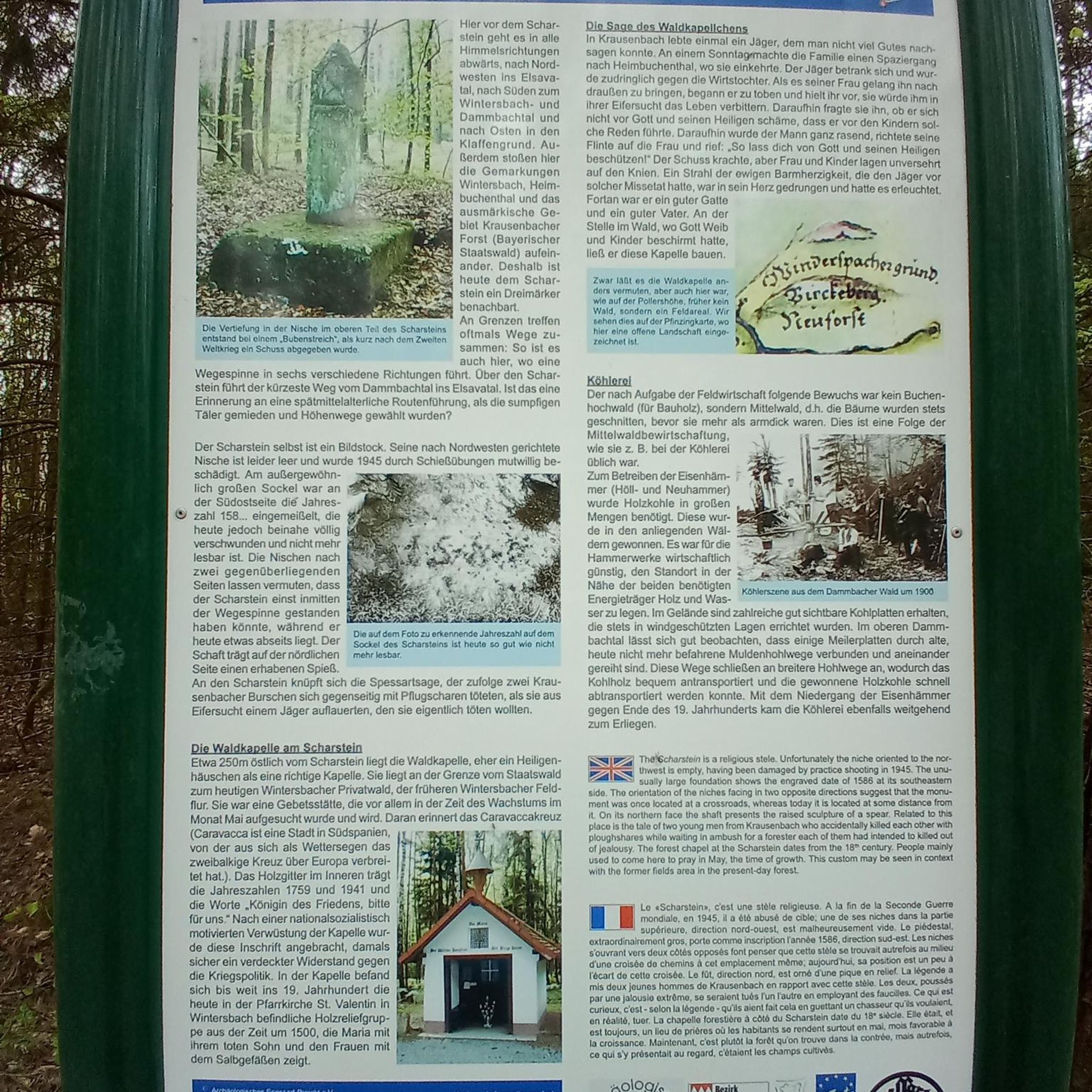
Ammertzwiller – destroyed front village and mine warfare Ammertzwiller was one of the particularly contested locations on the Sundgau front during World War I. From September 1914, the front line ran immediately west of the village. German troops held Ammertzwiller, while French positions were located near Gildwiller-le-Mont, among other places. On January 1, 1915, the entire population was evacuated. Shortly thereafter, the abandoned village itself became a combat zone. The church was destroyed on January 8, 1915. By the end of the war, Ammertzwiller was almost completely devastated. The place became particularly known for mine warfare. From May 1915, French sappers and German pioneers dug tunnels under the enemy positions and detonated them. The underground warfare lasted until early 1916 and left numerous explosion craters. A striking event was the German mine detonation on July 11, 1915. The explosion under the German outpost Sautter created a massive crater. The mine crater, now filled with water, is preserved as the "Entonnoir" and serves as a reminder of this form of warfare. German troops also built an extensive system of bunkers, shelters, and underground facilities. Today, the approximately 10.5 km long "Circuit de la mémoire d’Ammertzwiller" leads through this former front landscape. Around 15 information boards explain the local history. After the war, the residents returned to a largely destroyed village. Reconstruction left a lasting mark on Ammertzwiller. Today's Saint-Étienne church, with its depictions, preserves the memory of evacuation, war, and return. Particularly worth seeing: the water-filled mine crater and the Circuit de la mémoire d’Ammertzwiller.
0
0
Altkirch Altkirch is the historic capital of the Sundgau and lies on a striking rocky spur above the valley of the Ill. The town's origins date back to the Middle Ages. The Counts of Ferrette built Altkirch into a fortified town; from 1215 onwards, it was protected by town walls and towers. The characteristic layout, narrow streets, and remnants of the fortifications have been preserved from this medieval town plan to this day. Particularly worth seeing is the Vieille Porte, a former town gate from around 1245. For centuries, Altkirch was an important administrative and commercial center of the Sundgau. After the destructions of the Thirty Years' War, numerous buildings were newly erected. The representative town hall dates from the 18th century, built in 1778 according to plans by the Swabian architect Jean Nissler. In the 19th century, the town continued to develop: alongside its traditional importance as a market and trading place, industrial enterprises emerged, including the well-known Gilardoni brickworks. The 20th century also left its mark. After the First World War, Altkirch became part of the re-Frenchified Alsace. The memory of this period is evident, among other things, at the Vieille Porte, where a Borne Vauthier commemorates the former front line of 1918. The original Altkirch war memorial from 1927 was destroyed during the German occupation in the Second World War; preserved parts were later integrated into a new memorial. Today, Altkirch, with around 6,000 inhabitants, is an important center of the Sundgau. The historic upper town with its old houses, remnants of fortifications, the town hall, and the Sundgau Museum continues to shape the townscape. Source: Ville d’Altkirch – History of the town
0
0

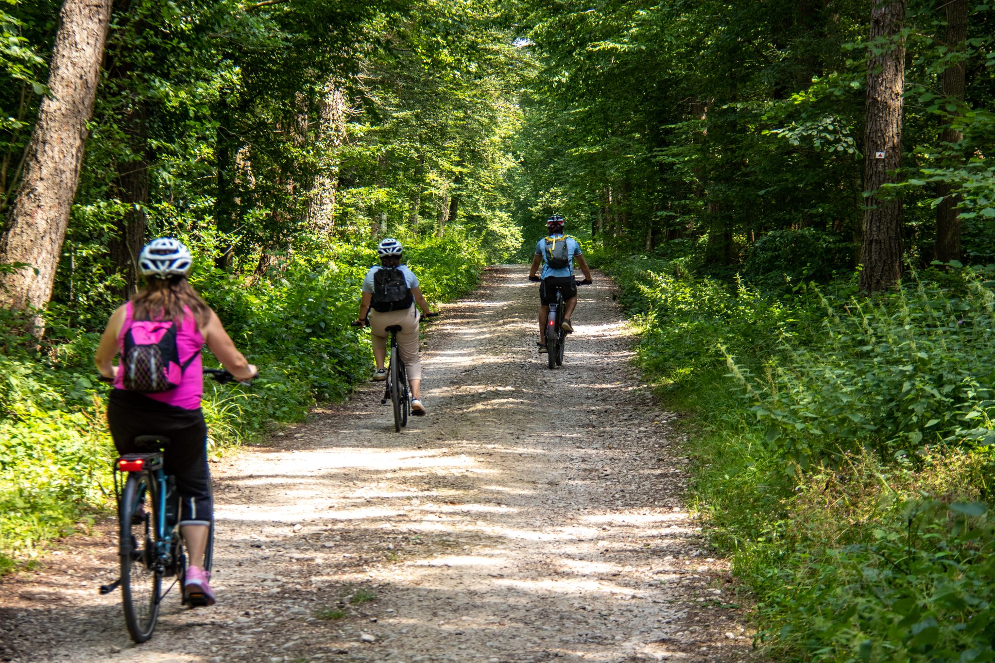
The former railway line between Dannemarie and Pfetterhouse has been redesigned according to the well-known French principle as a perfect "piste cyclable" or "voie vert." Good asphalt, gentle gradients, and, above all, a lack of motorized traffic entice you to glide along at a brisk pace. Often through beautiful forests or through fields, only occasionally do you have to cross a road where there used to be a tunnel or bridge, which has unfortunately been dismantled.
0
0
The former Altkirch-Waldighofen railway line has been converted into a cycle path in some sections, leading through fields and forests without disturbing car traffic. Highly recommended!
0
0

Every lock along the route provides for an unusual background and a good memory of your bike trip. A lot of these locks have a bridge going over them, take the time to branch off the bridge and discover some of the nice villages along the canal.
0
0
The French and European National Cycleway is a great cycleway winding along side of the Rhine Rhone Canal with very little climbing, for those who do not like to climb. However those who are climbing shy, must be aware of the wind in this area. A lot of the locks still have the former lock man’s house which adds a bit of charm to every lock. One is never alone on this route as there is a constant passing of bicycles, both leisure and racing bikes.
0
0
The Rhine Rhone Cycleway is part of the National French and European Cycleway. This stretch of the cycleway has excellent smooth asphalted pavement. There are some nice restaurants and cafés along the way which are sometimes hidden but can easily be found on the map.
1
0

Ammertzwiller is a quiet Alsatian village that is surprisingly convenient for cyclists on the road. There are a few mini markets, restaurants and even a chemist – ideal for stocking up on provisions or taking a break. The village is set in rolling countryside and offers lovely picnic spots overlooking the fields. Information boards in the village tell the story of the local history during the First World War, making this stop not only practical but also meaningful."
8
0
Frequently Asked Questions
How many traffic-free road cycling routes are available around Eglingen?
There are over 90 dedicated traffic-free road cycling routes around Eglingen, offering a wide variety of options for all skill levels. You'll find everything from leisurely rides to more challenging tours.
Are there easy traffic-free road cycling routes suitable for beginners or families?
Yes, Eglingen offers a good selection of easy, traffic-free road cycling routes. Approximately 30 routes are classified as easy, perfect for beginners or families looking for a relaxed ride. An example is the Eglingen Lock – Port of Dannemarie loop from Tagolsheim, which is just over 31 km with minimal elevation gain.
What kind of terrain can I expect on traffic-free road cycling routes in Eglingen?
The region around Eglingen features diverse terrain, from well-maintained asphalt roads to scenic paths through picturesque hills, lush forests, and idyllic valleys. While most routes are paved, some segments might be unpaved, particularly on longer tours. Expect a mix of flat sections and gentle ascents, with some routes offering more significant elevation changes.
Are there any challenging traffic-free road cycling routes for experienced riders?
While the focus is on traffic-free, many routes offer moderate challenges, and a few are classified as difficult. The region's varied terrain, with its hills and valleys, provides opportunities for longer rides with more significant elevation. For example, the Largue Valley Cycle Route covers nearly 55 km with over 300 meters of ascent, offering a good workout.
What attractions or points of interest can I see along the traffic-free road cycling routes?
Many routes pass by interesting landmarks and natural features. You can explore various locks, such as the Eglingen Lock or the Zillisheim Drawbridge and Lock No. 35. The routes also often lead to scenic spots like the Port of Dannemarie or tranquil lakes and ponds like Riedweiher Pond.
Are there circular traffic-free road cycling routes available?
Yes, many of the traffic-free road cycling routes around Eglingen are designed as circular loops, allowing you to start and end at the same point without retracing your steps. This is ideal for exploring the diverse landscapes efficiently. The EuroVelo 6 Aumatten – Eglingen Lock loop from Tagolsheim is a great example of a circular route.
What is the best season for traffic-free road cycling in Eglingen?
The best seasons for road cycling in Eglingen are generally spring, summer, and early autumn. During these months, the weather is typically mild, and the natural landscapes are at their most vibrant. The well-maintained roads and cycle paths are usually clear, offering optimal conditions for enjoyable rides.
Where can I find parking for traffic-free road cycling routes in Eglingen?
While specific parking locations vary by route, many starting points for komoot tours are located near villages or towns that offer public parking facilities. It's advisable to check the individual route details on komoot for suggested starting points and potential parking information.
What do other road cyclists enjoy most about traffic-free road cycling in Eglingen?
The komoot community highly rates the road cycling experience around Eglingen, with an average score of 4.5 out of 5 stars. Riders frequently praise the peaceful, traffic-free nature of the routes, the beautiful natural scenery, and the well-maintained surfaces that make for a smooth ride through forests and valleys.
Are there opportunities for wildlife spotting along the traffic-free routes?
Given the region's expansive forests and idyllic valleys, there are good opportunities for wildlife spotting, especially on quieter, traffic-free routes. Keep an eye out for local fauna as you cycle through the natural landscapes of Baden-Württemberg.
Can I find cafes or refreshment stops along the traffic-free road cycling routes?
Many routes pass through or near charming towns and villages where you can find cafes, bakeries, or restaurants for a refreshment stop. For example, the Restaurant Au 1000 Pâtes – Écluse Muehlenmatten loop from Balschwiller indicates a potential stop. It's always a good idea to check the route details or local maps for specific establishments along your chosen path.
Most popular attractions around Eglingen

Get inspired with the komoot mobile app


Explore more
Browse the best Road cycling routes in other regions.
