The best traffic-free bike rides around Lüders
4.5
(428)
16,033
riders
433
rides
No traffic road cycling routes around Lüders traverse a landscape characterized by rolling hills and forested areas, offering varied terrain for road cyclists. The region features ascents and descents through valleys and past natural features, providing diverse cycling experiences. These routes often lead through quiet rural roads, ensuring a focus on the natural surroundings. The area's topography supports both moderate and challenging rides, with notable climbs.
Best no traffic road cycling routes around Lüders
- The most popular no traffic road…
Last updated: October 5, 2026
5.0
(12)
110
riders
34.7km
01:53
720m
710m
Moderate road ride. Good fitness required. Mostly well-paved surfaces and easy to ride.
4.9
(28)
1,367
riders
71.8km
04:35
2,050m
2,050m
Hard road ride. Very good fitness required. Some segments of this route may be unpaved and difficult to ride.

5.0
(5)
43
riders
23.6km
01:10
370m
370m
Cycle the moderate La Mer Loop Trail, a 14.7-mile road cycling route through the scenic Plateau des Mille Étangs in France.
4.3
(6)
22
riders
40.6km
01:51
430m
430m
Moderate road ride. Good fitness required. Mostly well-paved surfaces and easy to ride.
4.7
(6)
400
riders
15.0km
01:03
530m
530m
Moderate road ride. Good fitness required. Mostly well-paved surfaces and easy to ride.
Get access to more routes and recommendations from other explorers.
Already have an account?
Our route recommendations are based on thousands of hikes, rides, and runs completed by other people on komoot.
Start today with a free account
Your next adventure awaits.
Popular around Lüders

Traffic-free bike rides around Haut-Du-Them-Château-Lambert
Traffic-free bike rides around Miellin
Traffic-free bike rides around Réserve Naturelle des Ballons Comtois
Traffic-free bike rides around Plancher-Les-Mines

Traffic-free bike rides around Esmoulières
Traffic-free bike rides around Belfahy

Traffic-free bike rides around La Longine
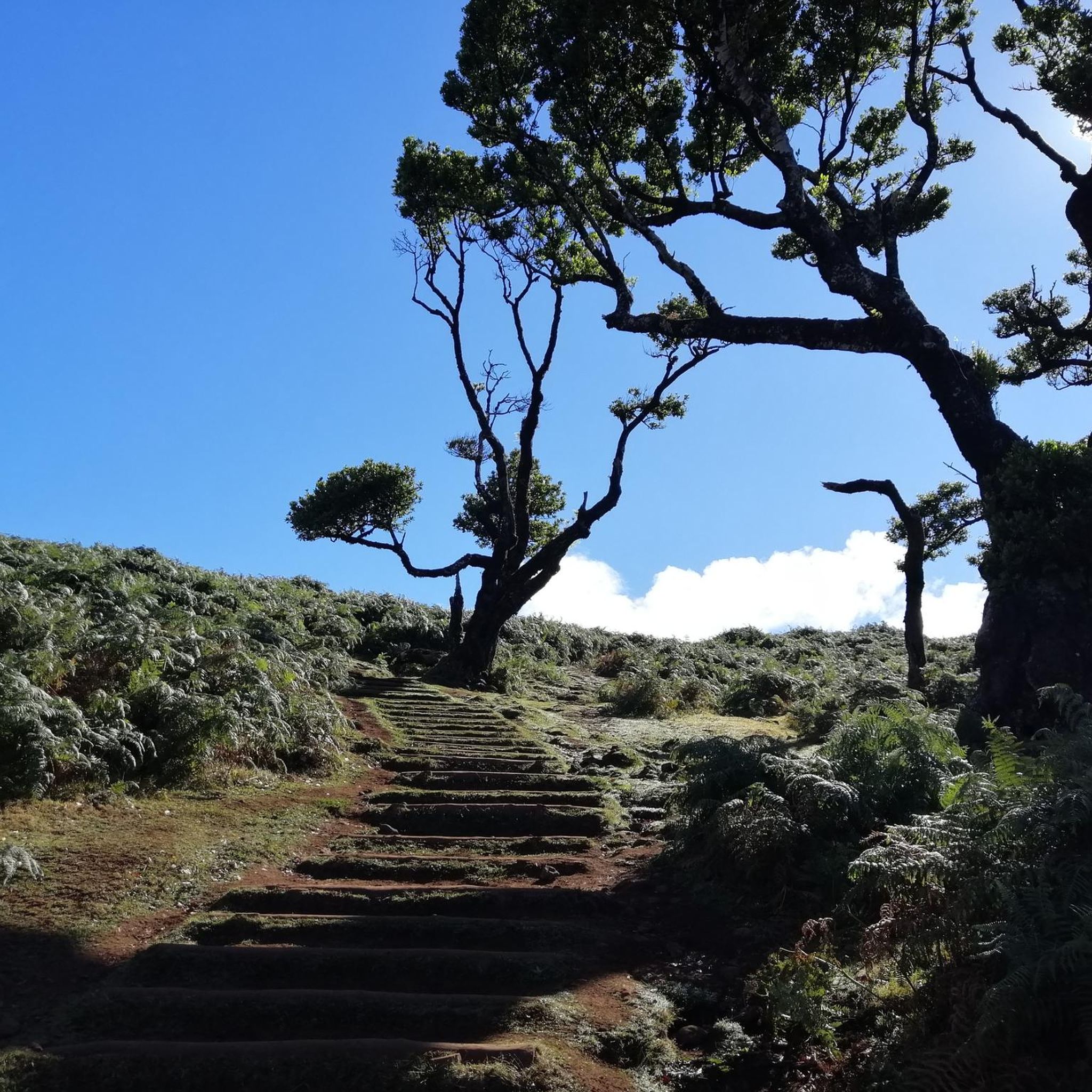
Traffic-free bike rides around Châlonvillars
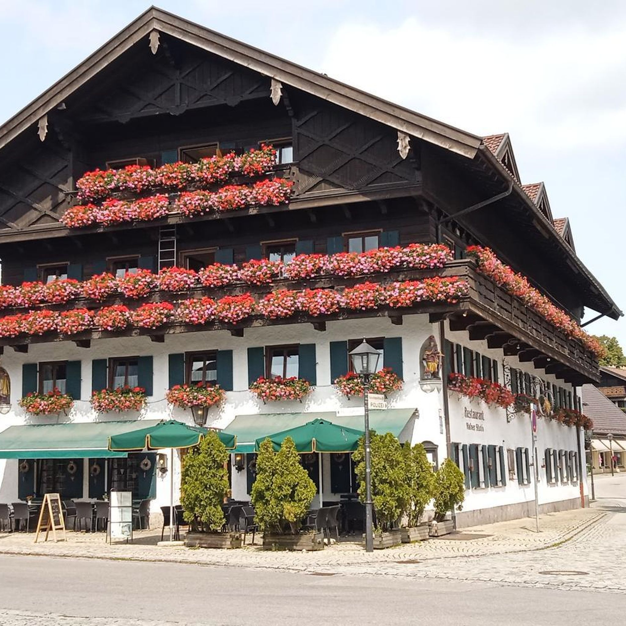
Traffic-free bike rides around Servance
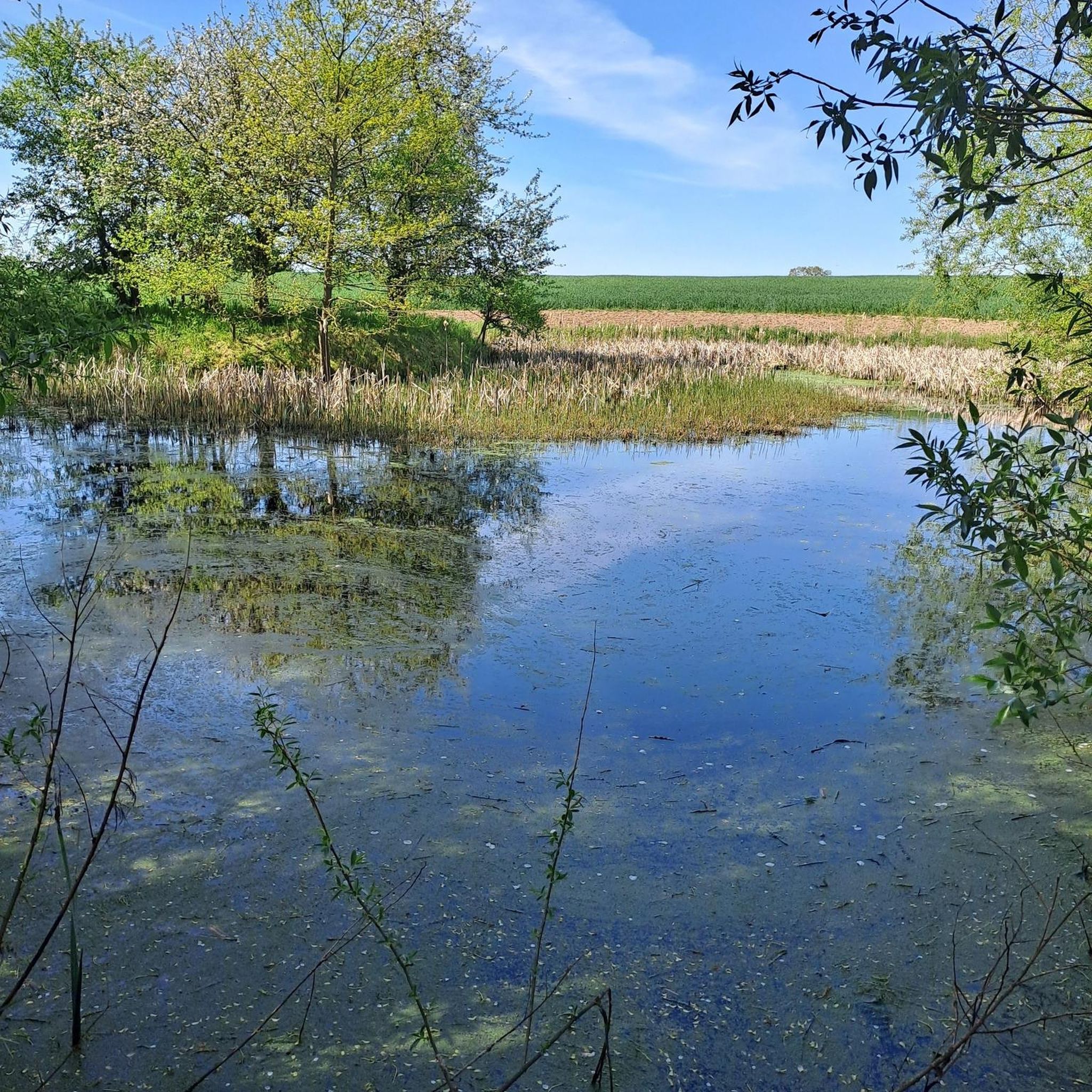
Traffic-free bike rides around Vyans-Le-Val
Other adventures around Lüders


Tips from the Community

De Col des Croix is a 679-meter-high mountain pass in the French Vogezen massif, located on the border of the Vosges and Haute-Saône departments. The pass forms an accessible connecting road (the D486) between the northern Le Thillot and the southern Servance. At the top, you will find the well-known Le Chalet Snack du Col des Croix, and the road splits towards the D16 (Route des Forts), the route that continues to the higher Ballon de Servance.
6
0
The end of the climb is somewhat disappointing. There is nothing marked. No photo opportunity. You have a small parking lot, a closed military road, and a picnic spot well hidden under the trees. At the two yellow signs (mainly for hikers) there is the only indication that you are at the Ballon de Servance and at 1158 m. The climb is "cozy". No cars, completely shaded, a few kilometer markers.
7
0
La Planche des Belles Filles is a 5.8 kilometer climb. It is a category 1 climb. It is located in Plancher Les Mines, Franche-Comté, France. The average gradient of this climb is 8.6% with a maximum of 13.6%. La Planche des Belles Filles climbs from 527 meters at the start to 1,033 meters at the summit, for a total elevation gain of 506 meters.
7
0
This 5.9-kilometer climb from the village of Plancher-les-Mines in Haute-Saône is one of the most difficult in the Vosges. Indeed, cyclists who want to try it will need to be at least somewhat trained. With a gradient of 24% towards the end of the route, it's better to be well-attached. The gradient never seems to ease, with its hairpin bends and, upon reaching the resort, the last 2 kilometers rise like a wall. However, you'll be able to say that you've done it, so come and try the climb of La Planche too!
8
0
At the foot of the climb to La Planche des Belles Filles stands this modest water tower — a wooden reservoir on a steel frame, built in the mid-20th century to provide the mountain village with water pressure. Today, it forms a quiet industrial accent between fir and pine trees, overlooking the Ballon de Servance. For cyclists, it marks the last flat stretch before the climb.
7
0

Super tough to get there...
0
0
If you like to hurt and question gravity, this is the right place.
0
0
A small pass after the Ballon de Severance. Refreshment stand with a view.
3
0
Frequently Asked Questions
How many no-traffic road cycling routes are available around Lüders?
There are over 420 dedicated no-traffic road cycling routes around Lüders listed on komoot, offering a wide range of options for cyclists looking for quiet roads. These routes vary in difficulty, with 100 easy, 277 moderate, and 45 difficult options.
What kind of terrain can I expect on no-traffic road cycling routes in Lüders?
The no-traffic road cycling routes around Lüders feature varied terrain, often including significant elevation changes. For example, the challenging La Planche des Belles Filles – Ballon de Servance loop from Servance-Miellin involves over 2000 meters of elevation gain, while the Loop of the Petite Finlande starting from Faucogney-et-la-Mer offers a moderate climb of around 700 meters.
Are there any easy no-traffic road cycling routes suitable for beginners in Lüders?
Yes, Lüders offers a good selection of easy no-traffic road cycling routes, with 100 routes categorized as easy. These are perfect for beginners or those looking for a more relaxed ride away from traffic.
What are some notable natural features or landmarks I can see along these routes?
Many routes around Lüders pass by interesting natural features and landmarks. You can explore mountain passes like Ballon de Servance or Mont de Fourche Pass. For natural monuments, consider routes near Planey Spring or the beautiful Waterfall - Saut de l'Ognon.
Are there any circular no-traffic road cycling routes around Lüders?
Yes, many of the no-traffic road cycling routes around Lüders are designed as loops. For instance, the La Mer Loop Trail offers a moderate 23 km circular ride, and the Loop of the Monts de l'Ognon starting from Villersexel is a 40 km option.
What do other road cyclists enjoy most about the no-traffic routes in Lüders?
The komoot community highly rates the road cycling experience in Lüders, with an average score of 4.5 stars from over 330 ratings. Reviewers often praise the quiet roads, scenic landscapes, and the variety of routes available for different skill levels, especially the challenging climbs in the area.
Can I find routes that include famous climbs or passes?
Absolutely. The region around Lüders is known for its challenging ascents. You can find routes that tackle climbs like Ascent of Col des Chevrères from Rexelaxert via Miellin or the iconic La Planche des Belles Filles – Pinot Ramp loop from Plancher-les-Mines.
What is the best time of year to enjoy no-traffic road cycling in Lüders?
While specific seasonal information for Lüders is limited, road cycling in regions with similar mountainous terrain is generally best enjoyed from late spring through early autumn (May to October). During these months, the weather is typically milder, and mountain passes are clear of snow, offering optimal conditions for traffic-free rides.
Are there any routes that pass by historical sites?
Yes, some routes may lead you past historical points of interest. For example, you might encounter sites like the Dolmen de Brevilliers, which is listed among the natural monuments in the area.
How long are the no-traffic road cycling routes in Lüders?
The routes vary significantly in length. You can find shorter rides, such as the La Planche des Belles Filles – Pinot Ramp loop from Plancher-les-Mines at nearly 15 km, up to longer, more demanding tours like the La Planche des Belles Filles – Ballon de Servance loop from Servance-Miellin which spans over 70 km.
Most popular routes around Lüders
Most popular attractions around Lüders

Get inspired with the komoot mobile app


Didn’t find what you were looking for?
Check out more Road cycling routes throughout Lüders below and find the perfect route in your destination.
Explore more
Browse the best Road cycling routes in other regions.
