The best hikes from bus stations around Lüders
4.4
(6210)
36,124
hikers
11
hikes
Hiking around Lüders offers a diverse range of bus station hiking trails, characterized by varied natural landscapes. The region features wooded areas, open fields, and gentle hills, providing accessible routes for different skill levels. Hikers can explore paths that traverse valleys and ascend to scenic viewpoints, often starting directly from public transport hubs. The terrain includes a mix of forest trails and open sections, making it suitable for year-round exploration.
Best bus station hiking trails around Lüders
- The most popular bus station hiking route is Source du Planey — loop from Bouligney, a 5.6 miles (9.0 km) trail that takes 2 hours 23 minutes to complete, winding through varied terrain with gentle elevation changes.
- Another top favourite among local hikers is Béviau Loop, a moderate 7.2 miles (11.6 km) path, traversing wooded hills and open landscapes.
- Local hikers also love the Beautiful views – Ballon d'Alsace loop from Col du Ballon d'Alsace, a 1.9 miles (3.0 km) trail leading through forested areas to panoramic vistas, often completed in about 53 minutes.
- Hiking around Lüders is defined by wooded hills, open valleys, and scenic viewpoints. The network offers options for different ability levels, from easy strolls to more challenging ascents.
- The routes in Lüders are highly rated by the komoot community with an average score of 4.5 stars from over 5700 reviews. More than 34000 hikers have used komoot to explore Lüders's varied terrain.
Last updated: May 21, 2026
4.2
(15)
67
hikers
8.95km
02:23
100m
100m
Moderate hike. Good fitness required. Easily-accessible paths. Suitable for all skill levels.
4.9
(10)
48
hikers
11.6km
03:13
240m
240m
Moderate hike. Good fitness required. Easily-accessible paths. Suitable for all skill levels.

Sign up for free
4.7
(6)
23
hikers
11.4km
03:26
350m
350m
Moderate hike. Good fitness required. Easily-accessible paths. Suitable for all skill levels.
4.8
(13)
20
hikers
8.91km
02:19
60m
60m
Moderate hike. Good fitness required. Easily-accessible paths. Suitable for all skill levels.
4.3
(4)
10
hikers
11.3km
03:26
400m
400m
Moderate hike. Good fitness required. Easily-accessible paths. Suitable for all skill levels.
Get access to more routes and recommendations from other explorers.
Sign up for free
Already have an account?
Our route recommendations are based on thousands of hikes, rides, and runs completed by other people on komoot.
Start today with a free account
Your next adventure awaits.
Login or Signup
Popular around Lüders

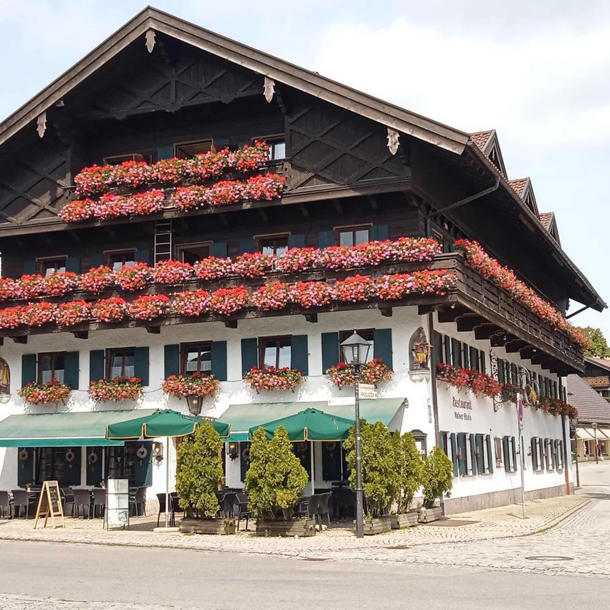
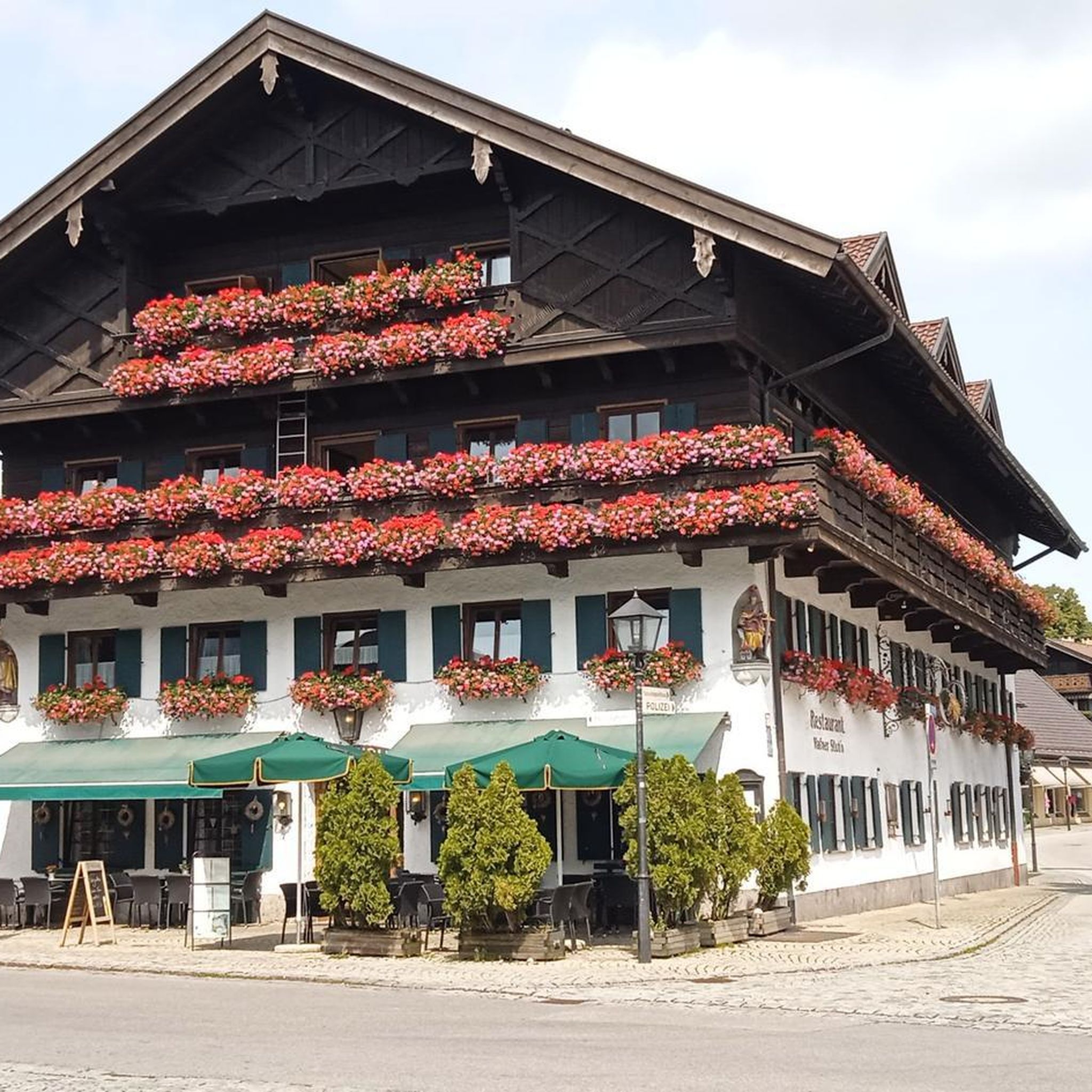
Hikes from bus stations around Réserve Naturelle des Ballons Comtois
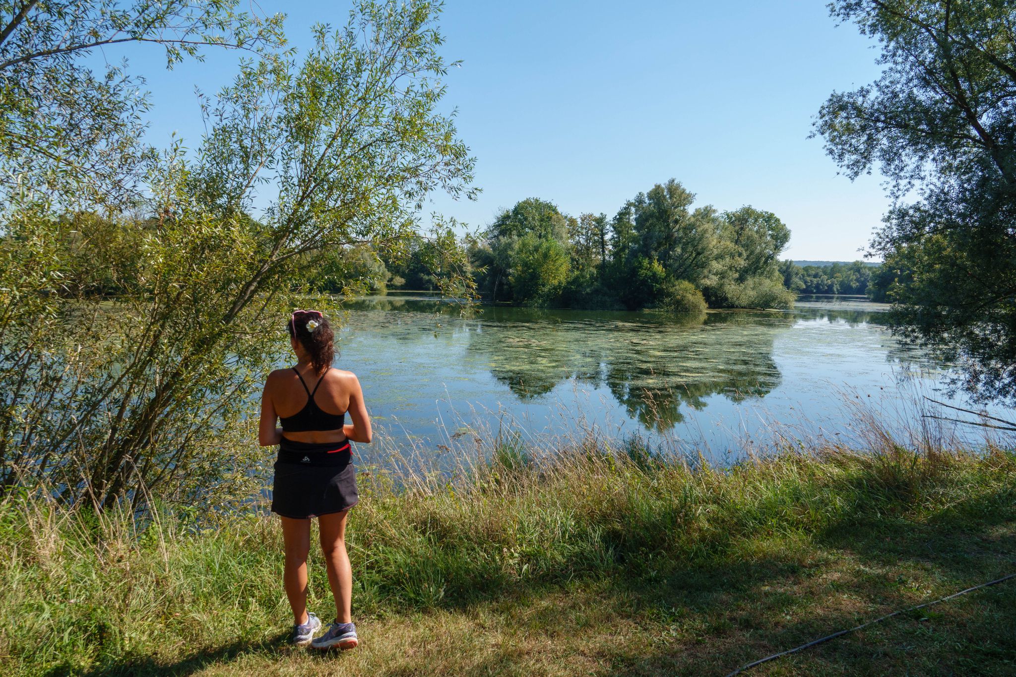
Hikes from bus stations around Étang Réservoir de Champagney
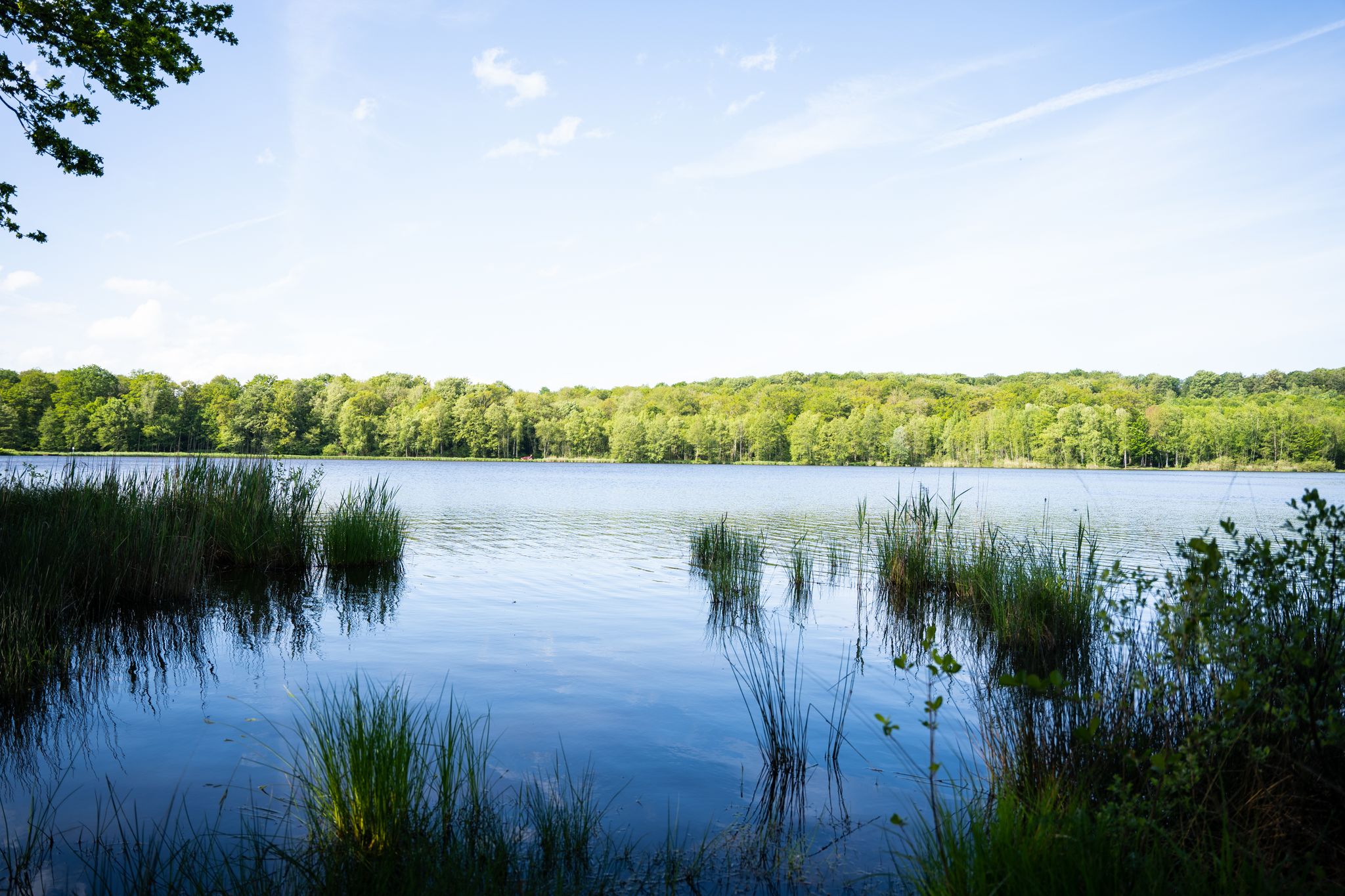
Hikes from bus stations around Bassin de Champagney
Hiking in the Vallée de l’Ognon — between villages, forests and rivers
10 wonderful hikes in the Southern Vosges

From the Vosges to the Jura mountains – Hexatrek, le Grand Est
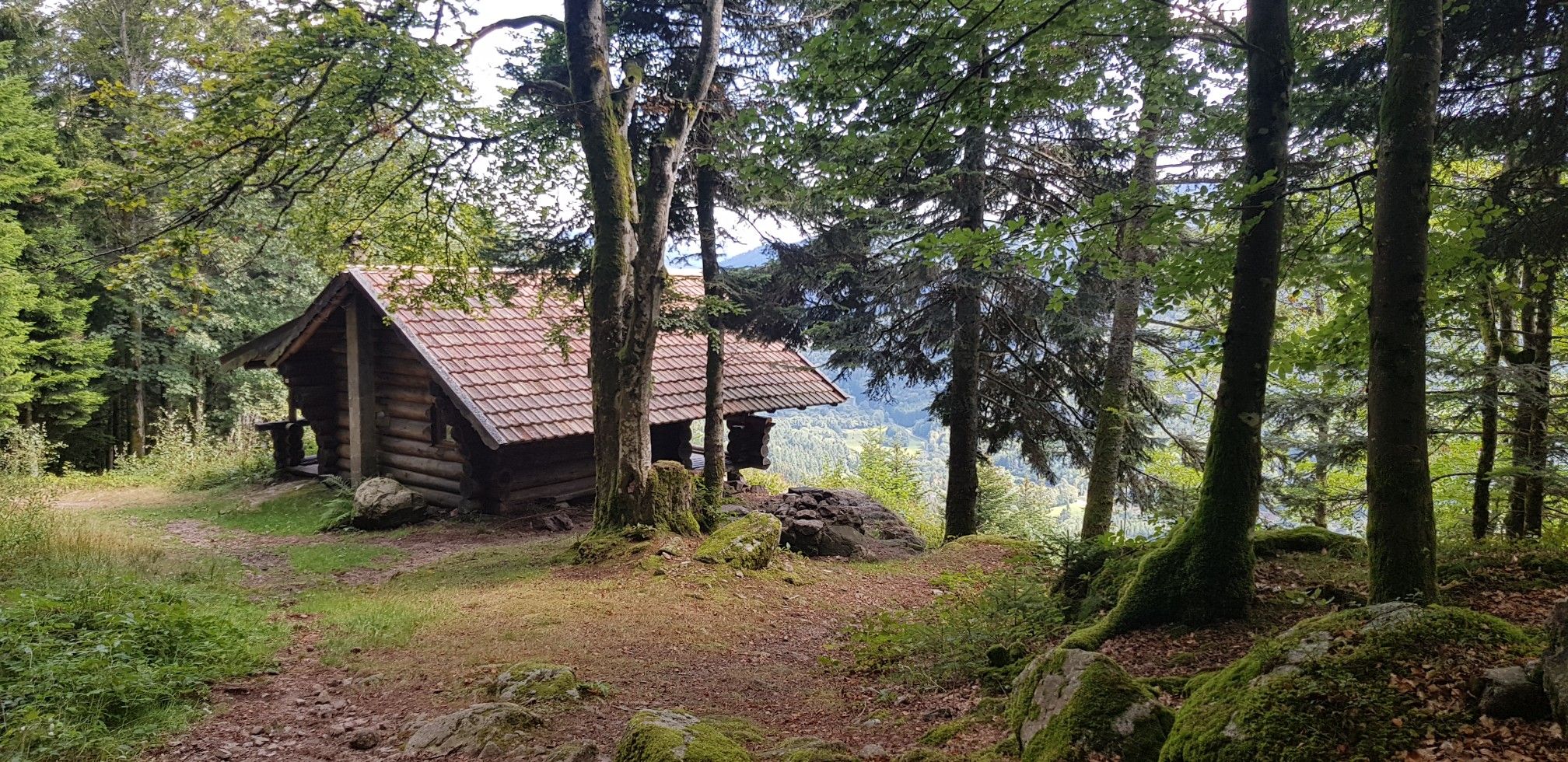
Hiking for Ballon lovers – Tour du Ballon d'Alsace in France

Naples to North Cape — Two friends, one purpose and many scoops of ice-cream
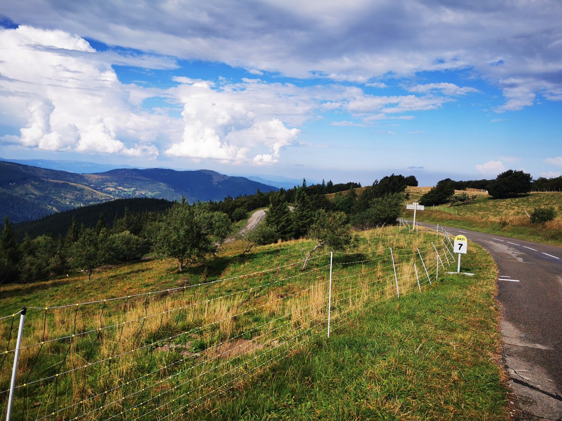
Climbing the Vosges in France — Les 3 Ballons

Legendary passes of the Tour de France
Other adventures around Lüders


Tips from the Community

The closer you get to the actual source, the stronger the blue color of the crystal clear water becomes!
7
0

Here, you enjoy a superb view of the pond, nestled in the middle of lush nature. Take advantage of this idyllic setting to recharge your batteries.
0
0
Saint-Bresson is known for its peaceful rural setting and green landscapes. This village is an ideal starting point for exploring the region's hiking trails, offering breathtaking views of the Vosges.
2
0
Héricourt Castle, dating from the 12th century, is classified as a Historic Monument. It hosts exhibitions and events that highlight local heritage.
0
0

This is where the climb to the Planche des belles filles begins - to the left we continue towards Ballon de Servance and to the right we go straight up the mountain to the beautiful dead end at the summit.
0
1

Fantastic to enjoy this piece of nature quietly!
1
0

A true mystery of life. This pond is actually a sinkhole, but instead of being bottomless, it is only 35m deep. Its crystalline turquoise hues hide a mystery: the water remains at a mild temperature of 11°c, summer and winter alike.
2
0
A true mystery of life. This pond is actually a sinkhole, but instead of being bottomless, it is only 35m deep. Its crystalline turquoise hues hide a mystery: the water remains at a mild temperature of 11°c, summer and winter alike.
4
0
Frequently Asked Questions
How many bus station hiking trails are available around Lüders?
There are over 400 hiking routes accessible directly from bus stations around Lüders. These include a wide variety of options, with more than 120 easy trails, nearly 250 moderate routes, and around 50 more challenging hikes.
What do other hikers say about the trails around Lüders?
The komoot community highly rates the hiking trails around Lüders, with an average score of 4.5 out of 5 stars from over 5,700 ratings. Hikers often praise the diverse landscapes and the convenience of starting directly from public transport hubs.
Are there easy hiking routes accessible from bus stations in Lüders?
Yes, Lüders offers a good selection of easy hiking routes that are perfect for beginners or those looking for a relaxed walk. For example, the Beautiful views – Ballon d'Alsace loop from Col du Ballon d'Alsace is an easy option with gentle elevation changes.
Are there any circular walks starting from bus stations in Lüders?
Many of the trails accessible from bus stations around Lüders are circular, allowing you to return to your starting point without needing additional transport. The Source du Planey — loop from Bouligney is a great example of a moderate circular route.
What kind of natural attractions can I see along the bus station hiking trails?
The trails around Lüders offer diverse natural beauty. You can explore areas with beautiful lakes and ponds, such as Étang de la Peau or Réchal Pond. Some routes also feature springs like Planey Spring, offering refreshing stops.
Are there any historical landmarks or points of interest near the bus station trails?
Yes, the region around Lüders is rich in history. You might encounter impressive structures like the Mont Vaudois Fort or charming castles such as Château de Villersexel and Château d'Oricourt, offering glimpses into the past.
Are there any trails with waterfalls accessible from bus stations?
Yes, if you're looking for trails featuring waterfalls, consider the Ballon d'Alsace – Rummel Waterfalls loop from Col du Ballon d'Alsace. This moderate route offers the chance to experience the beauty of the Rummel Waterfalls.
What is the best season for hiking around Lüders?
The best season for hiking around Lüders generally depends on your preference. Spring and autumn offer pleasant temperatures and beautiful scenery with blooming flowers or vibrant foliage. Summer is also popular, though some trails might be busier. Winter hiking is possible, but conditions can vary, so checking local forecasts is advisable.
Are there any less crowded hiking routes from Lüders bus stations?
While popular routes can see more visitors, many trails around Lüders offer a sense of tranquility. To find less crowded options, look for routes that are slightly longer or have a moderate difficulty rating, as these tend to attract fewer people than very easy, short loops. Exploring during off-peak hours or weekdays can also help.
Can I find trails with scenic viewpoints accessible from bus stations?
Absolutely. Many routes in the Lüders area are known for their scenic vistas. For instance, the Lake Alfeld – Valley view loop from Col du Ballon d'Alsace offers stunning valley views and glimpses of Lake Alfeld, all starting conveniently from a bus station.
Are there any longer, more challenging hikes available from bus stations?
For those seeking a greater challenge, Lüders offers several longer and more demanding routes. The Béviau Loop is a moderate hike over 11 km with significant elevation gain, providing a good workout and rewarding views.
Most popular routes around Lüders
Most popular attractions around Lüders

Get inspired with the komoot mobile app


Didn’t find what you were looking for?
Check out more Hikes throughout Lüders below and find the perfect route in your destination.
Explore more
Browse the best Hikes in other regions.
