The best road cycling routes around Lüders
4.5
(430)
16,058
riders
921
rides
Road cycling routes around Lüders traverse a landscape characterized by rolling hills and dense woodlands. The region features varied terrain, including challenging ascents and scenic descents, with routes often following river valleys and passing through forested areas. Elevations can be substantial, offering panoramic views from higher points.
Best road cycling routes around Lüders
- The most popular road cycling route is Loop of the Petite Finlande starting from Faucogney-et-la-Mer, a 21.6 miles (34.7 km) trail that takes 1 hour 53…
Last updated: October 10, 2026
5.0
(12)
108
riders
34.7km
01:53
720m
710m
Moderate road ride. Good fitness required. Mostly well-paved surfaces and easy to ride.
4.9
(28)
1,367
riders
71.8km
04:35
2,050m
2,050m
Hard road ride. Very good fitness required. Some segments of this route may be unpaved and difficult to ride.

3.0
(1)
51
riders
46.0km
02:01
430m
430m
Moderate road ride. Good fitness required. Mostly well-paved surfaces and easy to ride.
5.0
(5)
43
riders
23.6km
01:10
370m
370m
Moderate road ride. Good fitness required. Mostly well-paved surfaces and easy to ride.
4.3
(6)
22
riders
40.6km
01:51
430m
430m
Moderate road ride. Good fitness required. Mostly well-paved surfaces and easy to ride.
4.5
(2)
16
riders
41.5km
01:48
370m
370m
Moderate road ride. Good fitness required. Mostly well-paved surfaces and easy to ride.
16
riders
33.3km
01:30
350m
350m
Moderate road ride. Good fitness required. Mostly well-paved surfaces and easy to ride.
3.7
(3)
1,339
riders
Easy road ride. Great for any fitness level. Mostly well-paved surfaces and easy to ride.
4.8
(12)
763
riders
82.2km
04:16
1,400m
1,400m
Hard road ride. Very good fitness required. Mostly well-paved surfaces and easy to ride.
4.3
(10)
419
riders
53.2km
02:33
670m
670m
Moderate road ride. Good fitness required. Mostly well-paved surfaces and easy to ride.
Get access to more routes and recommendations from other explorers.
Already have an account?
Our route recommendations are based on thousands of hikes, rides, and runs completed by other people on komoot.
Start today with a free account
Your next adventure awaits.
Popular around Lüders
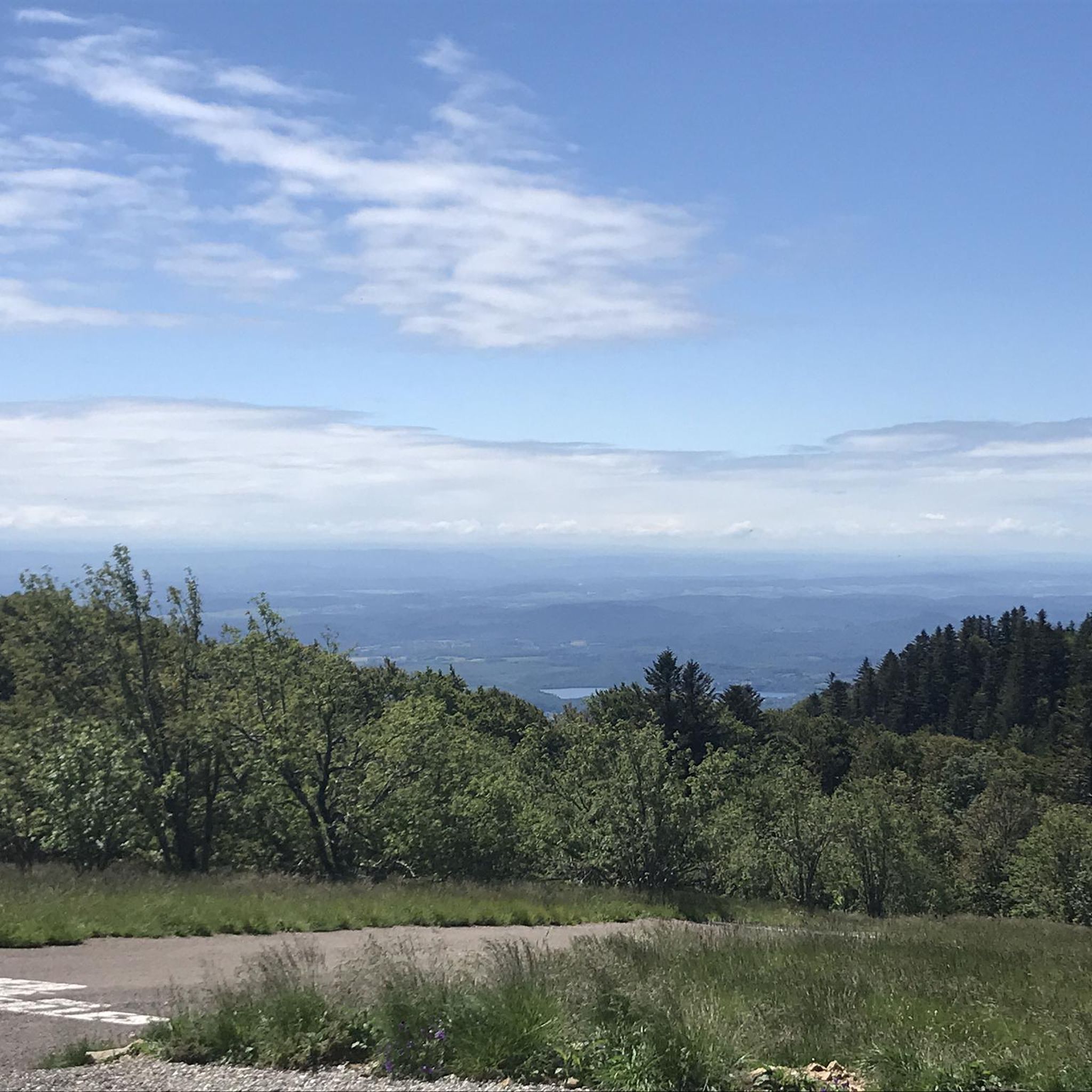
Road Cycling Routes around Réserve Naturelle des Ballons Comtois
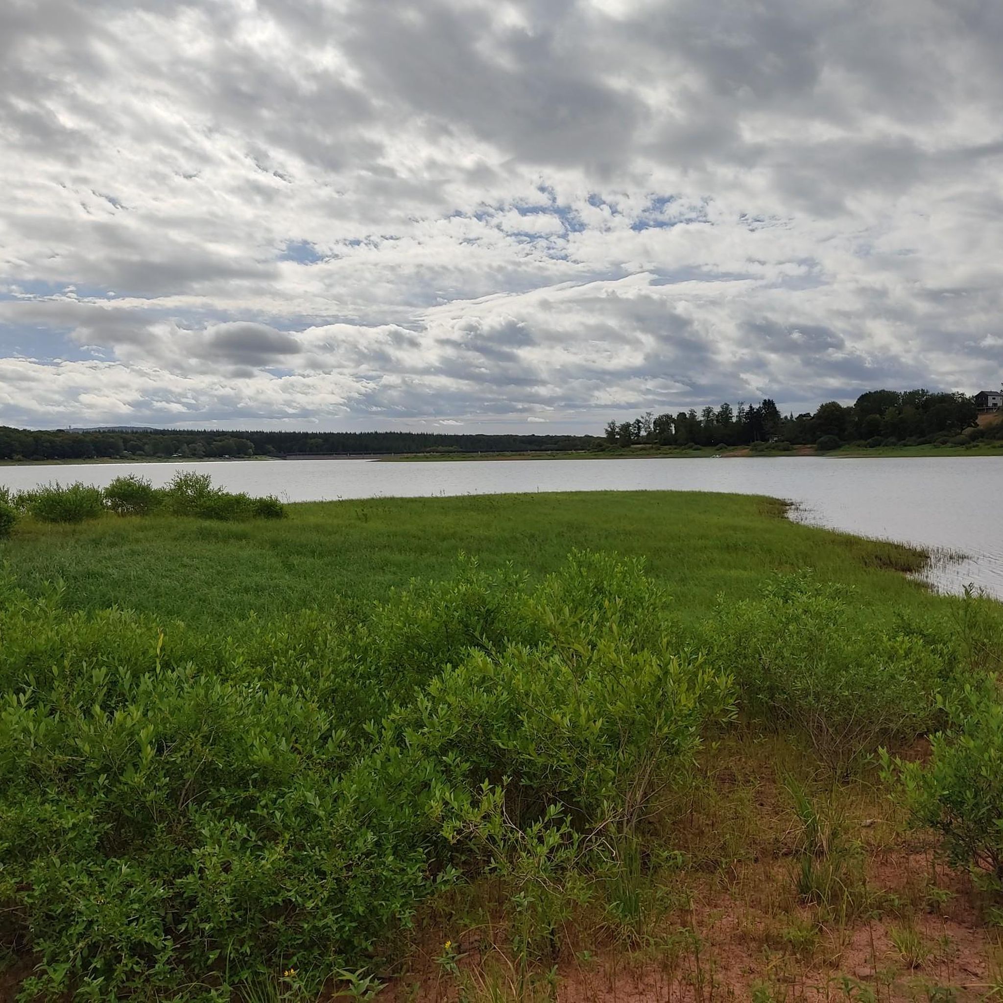
Road Cycling Routes around Frahier-Et-Chatebier
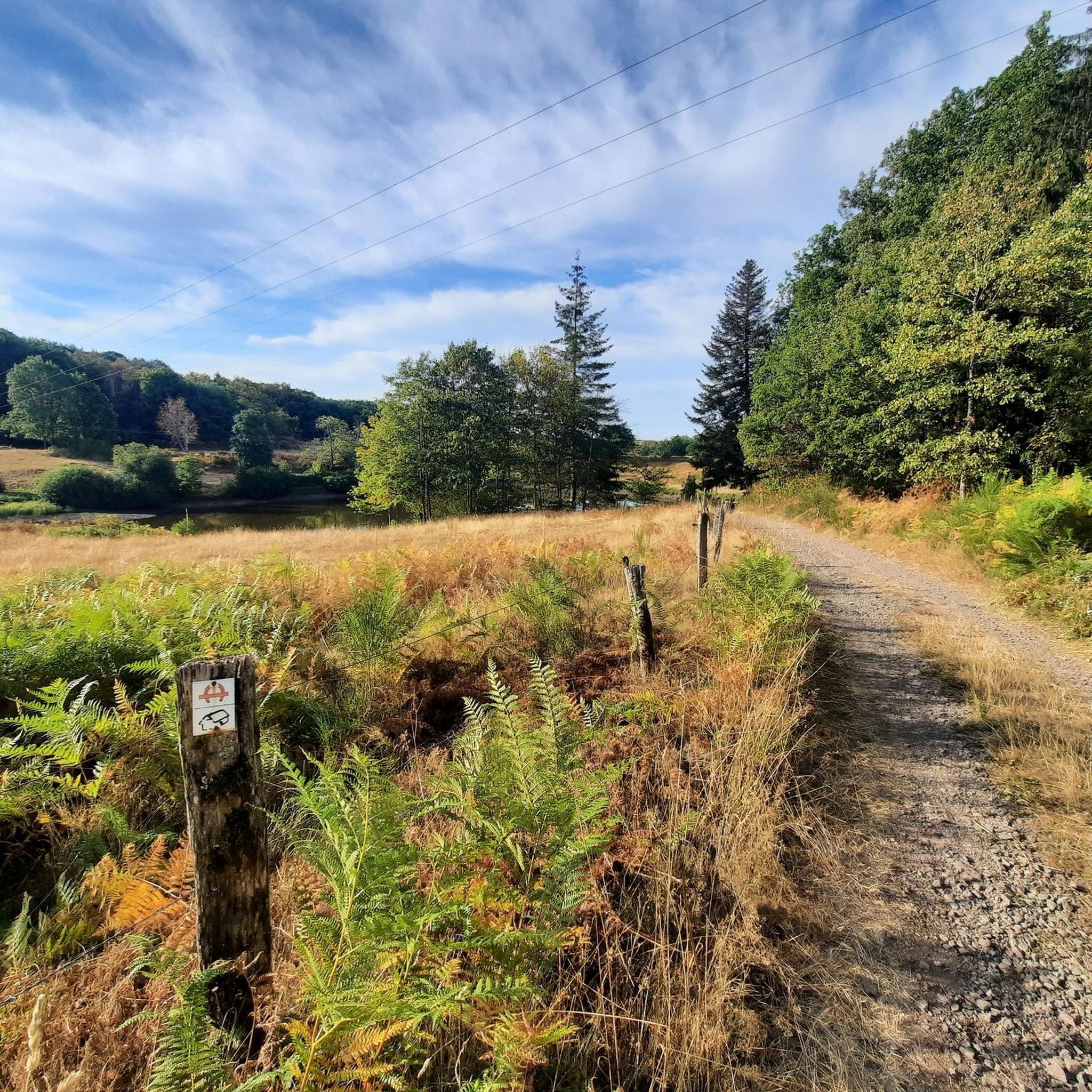
Road Cycling Routes around Esmoulières
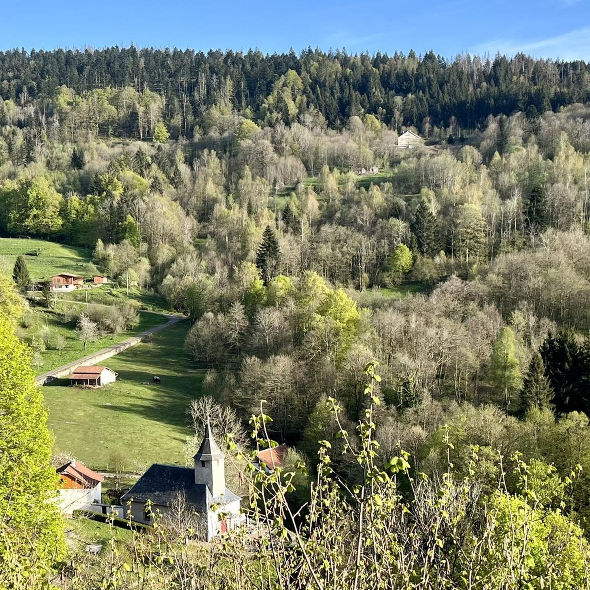
Road Cycling Routes around Haut-Du-Them-Château-Lambert
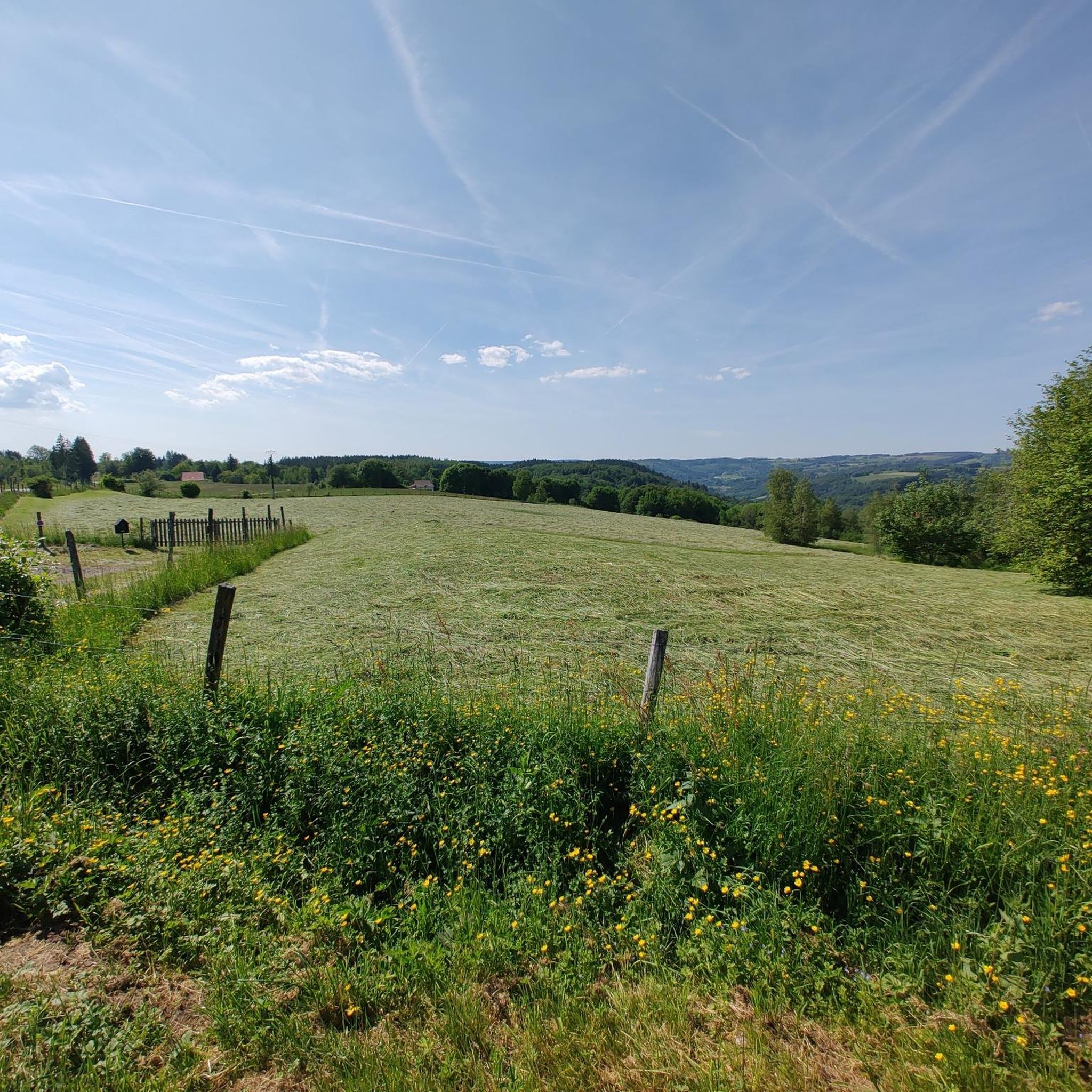
Road Cycling Routes around Saint-Valbert
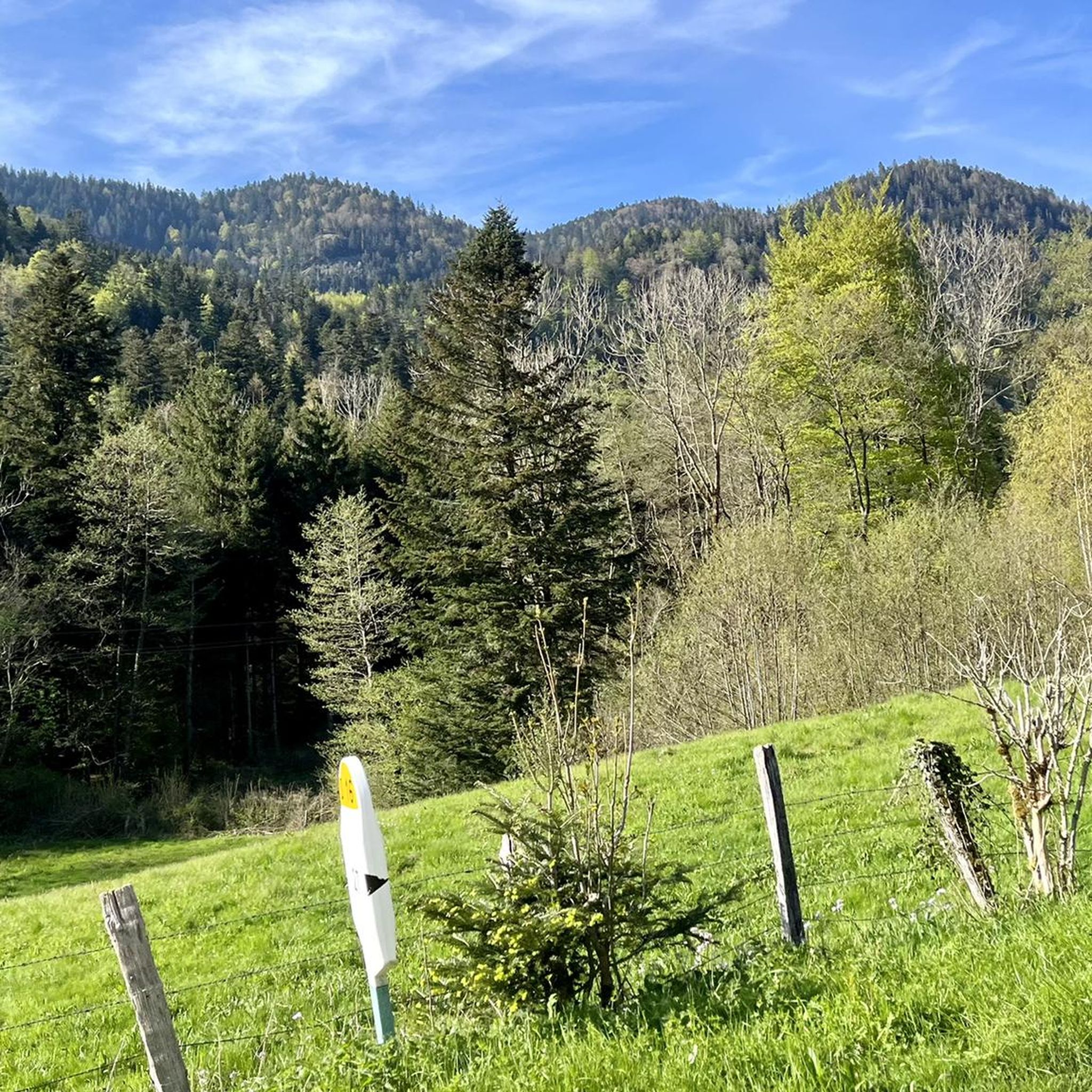
Road Cycling Routes around Luxeuil-Les-Bains
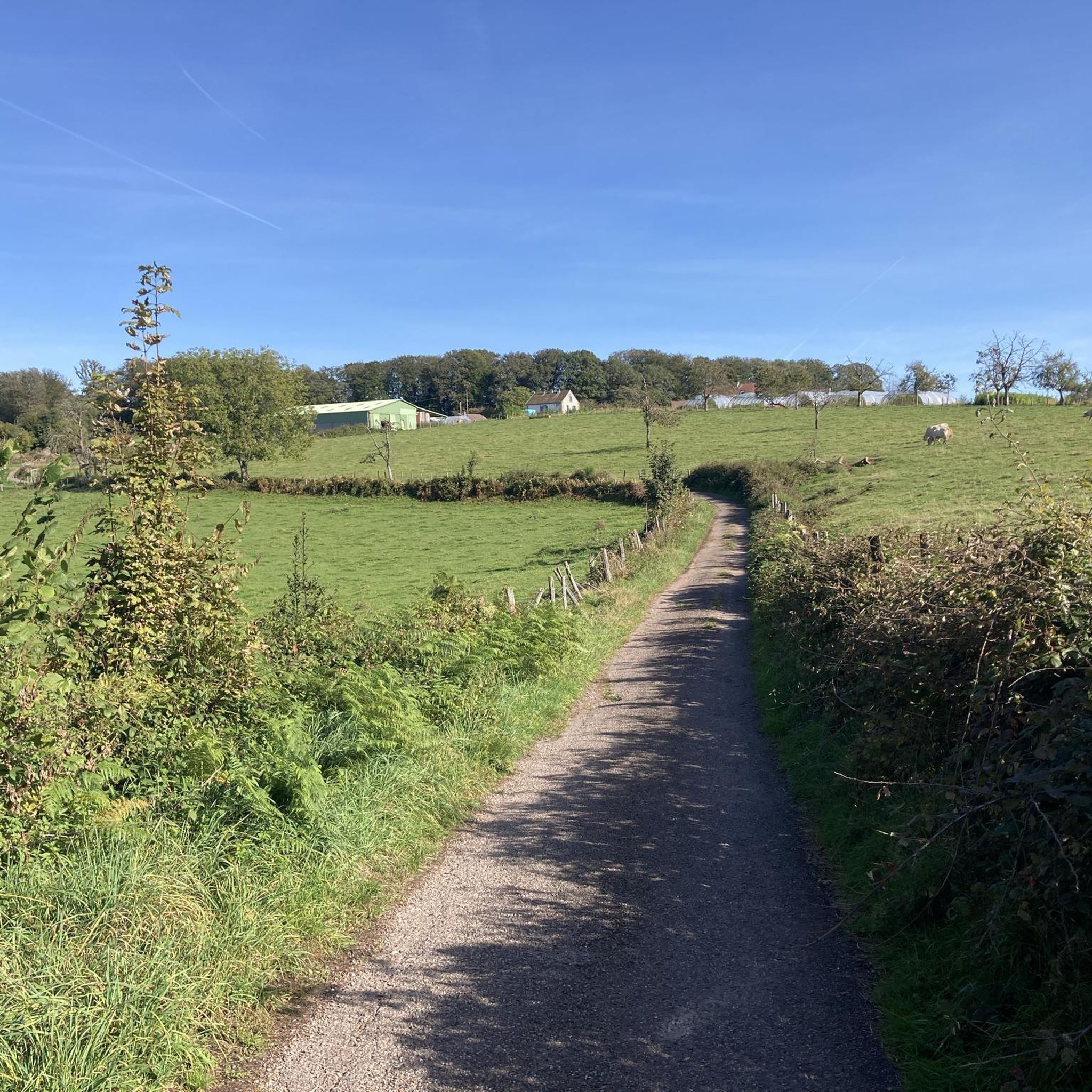
Road Cycling Routes around Saint-Sauveur
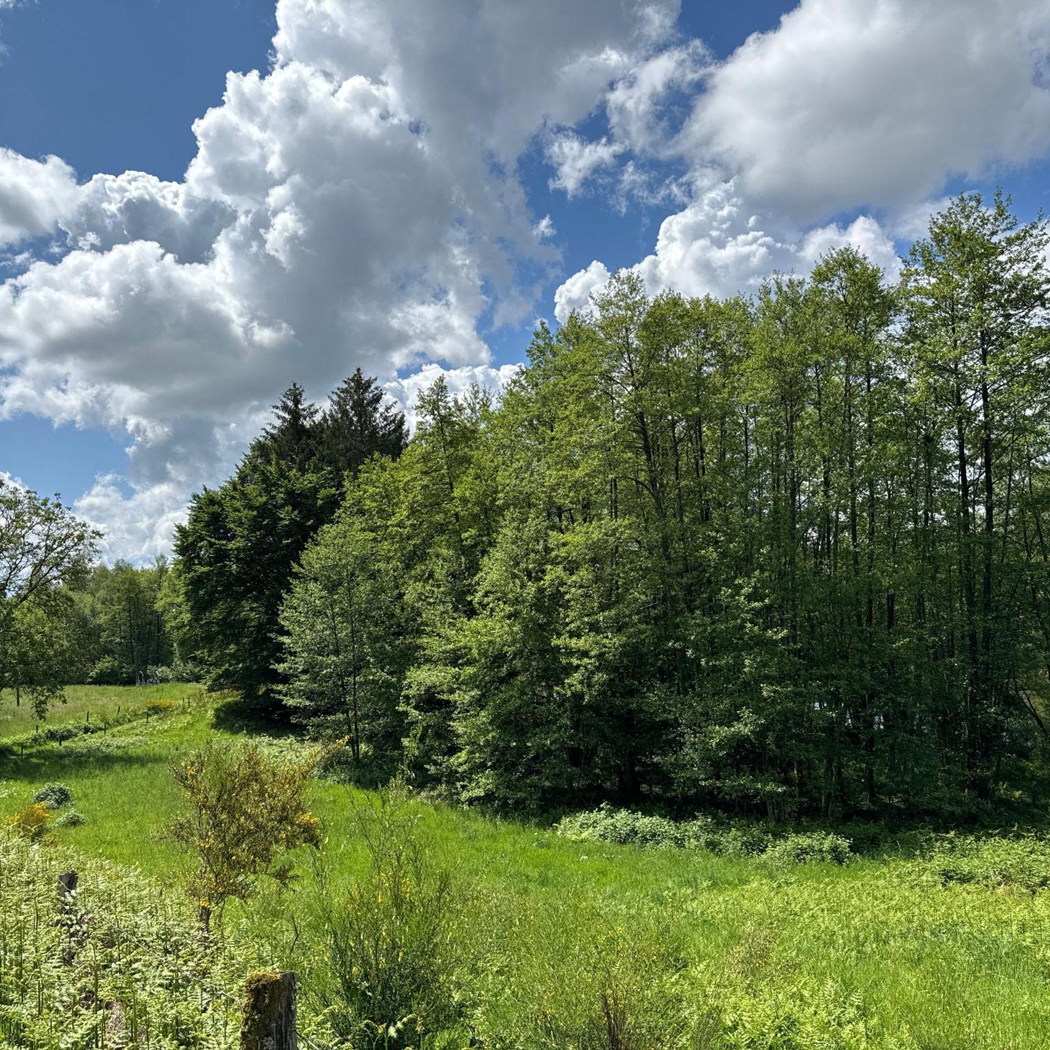
Road Cycling Routes around Écromagny
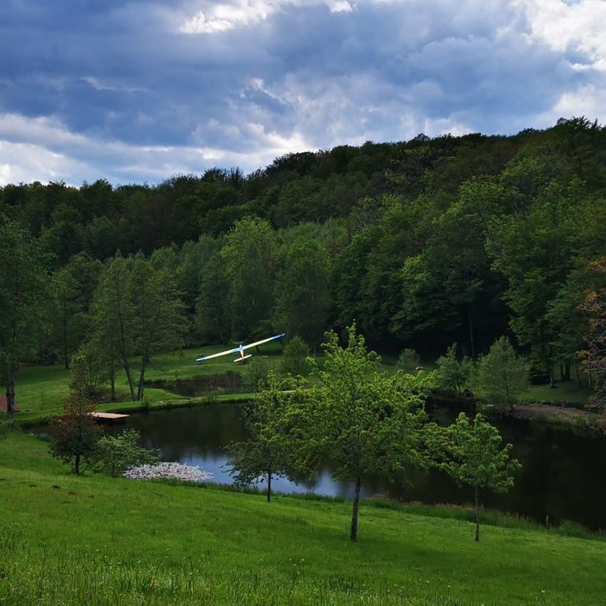
Road Cycling Routes around Mélisey
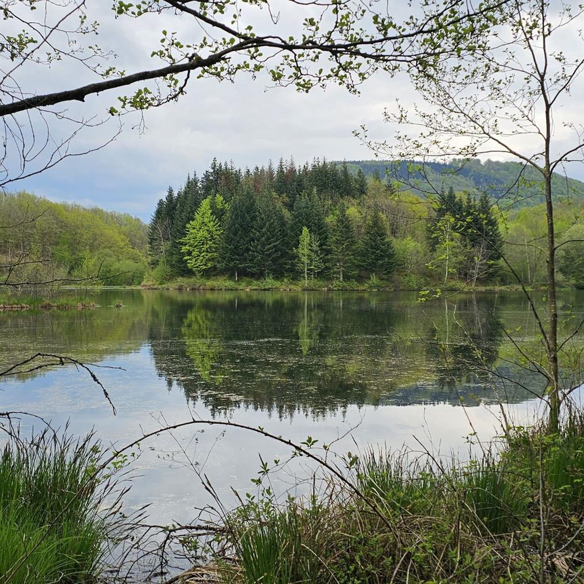
Road Cycling Routes around Belonchamp
Other adventures around Lüders


Tips from the Community

De Col des Croix is a 679-meter-high mountain pass in the French Vogezen massif, located on the border of the Vosges and Haute-Saône departments. The pass forms an accessible connecting road (the D486) between the northern Le Thillot and the southern Servance. At the top, you will find the well-known Le Chalet Snack du Col des Croix, and the road splits towards the D16 (Route des Forts), the route that continues to the higher Ballon de Servance.
5
0
The end of the climb is somewhat disappointing. There is nothing marked. No photo opportunity. You have a small parking lot, a closed military road, and a picnic spot well hidden under the trees. At the two yellow signs (mainly for hikers) there is the only indication that you are at the Ballon de Servance and at 1158 m. The climb is "cozy". No cars, completely shaded, a few kilometer markers.
5
0
La Planche des Belles Filles is a 5.8 kilometer climb. It is a category 1 climb. It is located in Plancher Les Mines, Franche-Comté, France. The average gradient of this climb is 8.6% with a maximum of 13.6%. La Planche des Belles Filles climbs from 527 meters at the start to 1,033 meters at the summit, for a total elevation gain of 506 meters.
5
0
This 5.9-kilometer climb from the village of Plancher-les-Mines in Haute-Saône is one of the most difficult in the Vosges. Indeed, cyclists who want to try it will need to be at least somewhat trained. With a gradient of 24% towards the end of the route, it's better to be well-attached. The gradient never seems to ease, with its hairpin bends and, upon reaching the resort, the last 2 kilometers rise like a wall. However, you'll be able to say that you've done it, so come and try the climb of La Planche too!
6
0
At the foot of the climb to La Planche des Belles Filles stands this modest water tower — a wooden reservoir on a steel frame, built in the mid-20th century to provide the mountain village with water pressure. Today, it forms a quiet industrial accent between fir and pine trees, overlooking the Ballon de Servance. For cyclists, it marks the last flat stretch before the climb.
5
0

Top cycle path on the old railway line
1
0

René Pottier was the first participant to cross a pass by bicycle. The first pass of the Tour de France was the Ballon d'Alsace.
2
0

Super tough to get there...
0
0
Frequently Asked Questions
How many road cycling routes are available around Lüders?
There are over 900 road cycling routes available around Lüders on komoot, offering a wide variety of options for different skill levels and preferences. The region is known for its rolling hills and dense woodlands, providing diverse terrain for cyclists.
What kind of terrain can I expect when road cycling in Lüders?
Road cycling routes around Lüders traverse a landscape characterized by rolling hills and dense woodlands. You can expect varied terrain, including challenging ascents and scenic descents, often following river valleys and passing through forested areas. Elevations can be substantial, offering panoramic views from higher points.
Are there road cycling routes suitable for beginners in Lüders?
Yes, Lüders offers a good selection of routes for beginners. There are nearly 200 easy road cycling routes available, providing gentler gradients and shorter distances for those new to the sport or looking for a more relaxed ride.
What are some challenging road cycling routes in Lüders?
For experienced cyclists seeking a challenge, Lüders features routes with major climbs and mountainous landscapes. A notable difficult route is La Planche des Belles Filles – Ballon de Servance loop from Servance-Miellin, which covers 44.6 miles (71.8 km) with significant elevation gain.
What do other road cyclists enjoy the most about road cycling in Lüders?
The road cycling routes in Lüders are highly rated by the komoot community, with an average score of 4.5 stars from over 330 reviews. Cyclists often praise the varied terrain, scenic river valleys, and the opportunity to explore dense forests and significant hills.
Are there any scenic viewpoints or natural features along the road cycling routes in Lüders?
Yes, many routes offer scenic viewpoints, especially from higher elevations in the rolling hills. The region's dense woodlands and river valleys provide picturesque settings. While specific named viewpoints aren't listed, the overall landscape is rich with natural beauty, including areas that resemble the fresh air and wonderful views found along waterfronts and through wooded forests.
Are there any interesting landmarks or attractions near the road cycling routes in Lüders?
Absolutely! Lüders is surrounded by interesting attractions. You can find beautiful lakes like Étang de la Peau and Réchal Pond, as well as historical sites such as Château de Villersexel and Château d'Oricourt. These can make for great stops during your ride.
Are there any loop road cycling routes in Lüders?
Yes, many road cycling routes in Lüders are designed as loops, allowing you to start and end at the same point. An example is the La Mer Loop Trail, a moderate 23.6-mile (38 km) route.
What is the best time of year to go road cycling in Lüders?
The best time to go road cycling in Lüders is generally during the warmer months when the weather is most favorable. Autumn also offers a particularly picturesque experience, as the trees transform with glorious golds, reds, and oranges, making rides down back roads especially scenic.
Are there family-friendly road cycling options in Lüders?
While many routes feature significant hills, the region does offer easier options that could be suitable for families with some cycling experience. Look for routes categorized as 'easy' to find paths with less elevation gain and shorter distances, providing a more relaxed experience for all.
Where can I find parking for road cycling routes in Lüders?
Many road cycling routes in Lüders start from towns or villages where public parking is available. While specific parking locations aren't detailed for every route, it's generally possible to find suitable spots near the starting points of popular trails, especially in areas like Faucogney-et-la-Mer or Luxeuil-les-Bains.
Are there road cycling routes that follow water features in Lüders?
Yes, Lüders offers routes that lead through forested areas and along water features. The Loop of the Waters starting from Luxeuil-les-Bains is a great example, covering 28.6 miles (46.0 km) and showcasing the region's aquatic landscapes.
Most popular routes around Lüders
Most popular attractions around Lüders

Get inspired with the komoot mobile app


Didn’t find what you were looking for?
Check out more Road cycling routes throughout Lüders below and find the perfect route in your destination.
Explore more
Browse the best Road cycling routes in other regions.
