The best traffic-free bike rides around Güejar Sierra
4.3
(150)
7,782
riders
16
rides
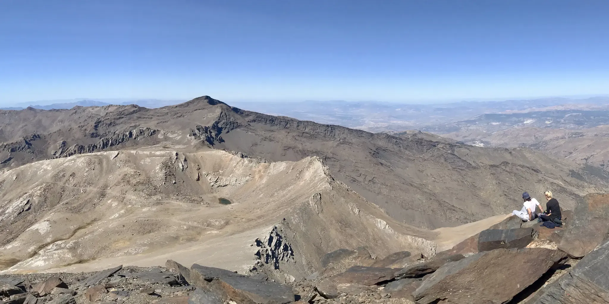
Road cycling around Güejar Sierra offers diverse terrain at the gateway to Spain's Sierra Nevada National Park. The region features dramatic high-mountain landscapes with impressive rock formations and some of Europe's highest paved roads, including the ascent to Pico de Veleta. Cyclists encounter significant elevation gains and varied scenic backdrops, from rugged peaks to picturesque river valleys. A prominent natural feature is the Canales Reservoir, around which several routes are designed.
Best no traffic road cycling routes around Güejar Sierra
…Last updated: August 12, 2026
4.6
(8)
400
riders
92.0km
04:44
1,650m
1,650m
Hard road ride. Very good fitness required. Mostly well-paved surfaces and easy to ride.
5.0
(1)
39
riders
39.4km
02:52
1,250m
1,250m
Hard road ride. Very good fitness required. Mostly well-paved surfaces and easy to ride.

Sign up for free
5.0
(1)
32
riders
18.0km
01:23
740m
740m
Moderate road ride. Good fitness required. Mostly well-paved surfaces and easy to ride.
24
riders
31.6km
01:39
560m
560m
Moderate road ride. Good fitness required. Mostly well-paved surfaces and easy to ride.
16
riders
32.3km
02:55
1,460m
1,460m
Hard road ride. Very good fitness required. Mostly well-paved surfaces and easy to ride.
Get access to more routes and recommendations from other explorers.
Sign up for free
Already have an account?
Our route recommendations are based on thousands of hikes, rides, and runs completed by other people on komoot.
Start today with a free account
Your next adventure awaits.
Login or Signup
Popular around Güejar Sierra

On the road to the sun — bikepacking to southeast Spain
An unforgettable adventure – climb the Mulhacén’s north face in Spain
Nature and singletrack – bikepacking in Spain’s Sierra de Huétor
An Andalusian adventure on wheels – Transnevada

Traffic-free bike rides around Güejar Sierra

Traffic-free bike rides around Güejar Sierra
Other adventures around Güejar Sierra


Tips from the Community

This is one of the most emblematic hidden passes in Andalusia. Its ascent offers spectacular views of Sierra Nevada in a rural setting with little traffic, which is atypical in the rest of Europe.
1
0

Avoid the short descent to Güejar Sierra via today's route, road impassable
0
0

Guadix is an ancient city located in the heart of the province of Granada. Famous for its unique dwellings excavated in the rock, the so-called "cave houses", which house a significant part of its population, it offers a lunar landscape of chimneys and whitewashed facades emerging from the clayey terrain. Its imposing Renaissance cathedral and its Arab alcazaba are silent witnesses to the rich history that has marked this land since Roman times.
0
0

The El Purche Road, in Monachil (La Vega de Granada), is an emblematic road that connects the urban area with the Sierra Nevada National Park, well known to cyclists, hikers and lovers of panoramic views.
2
0

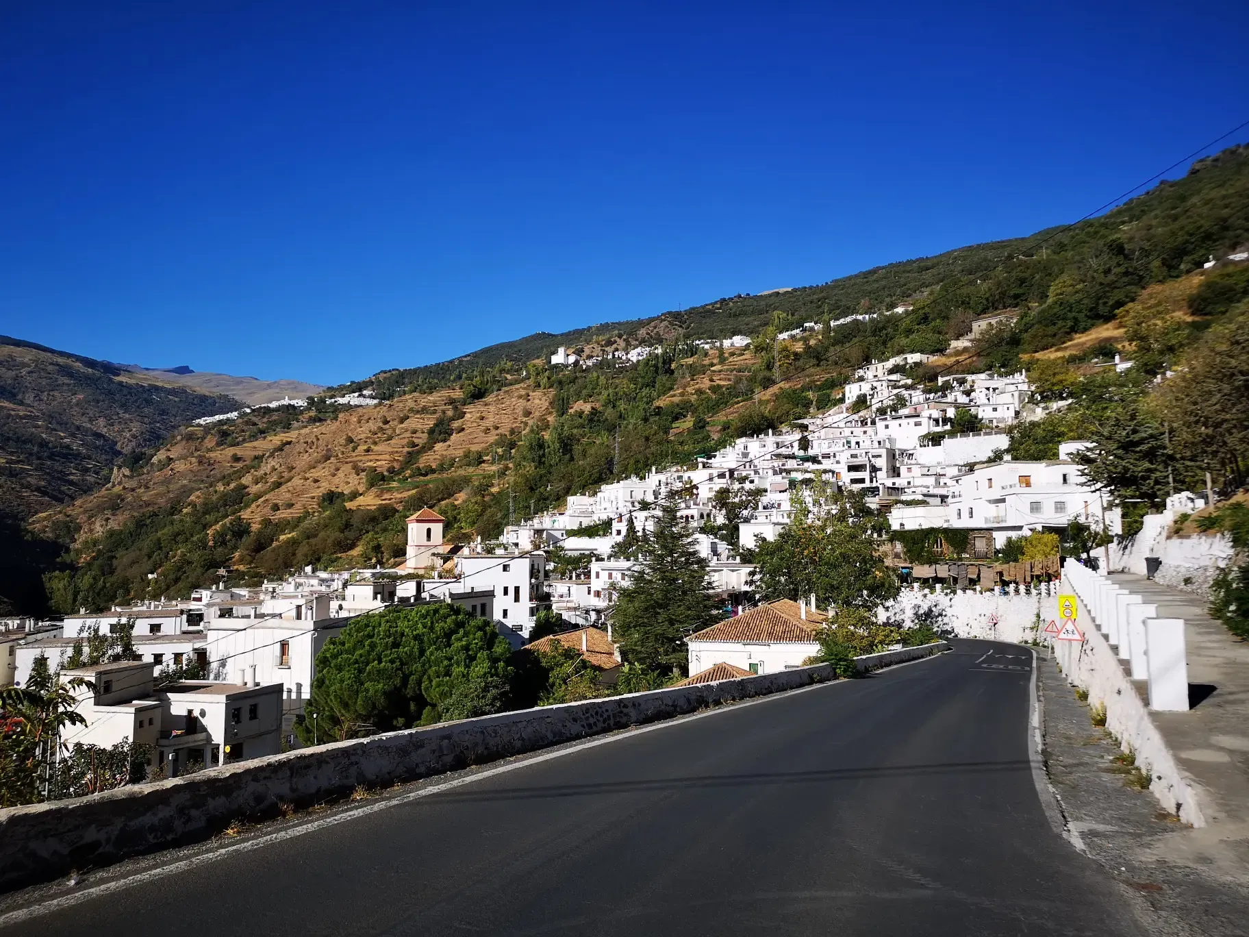
Güéjar Sierra is a picturesque Granada town at the foot of the Sierra Nevada, which preserves the charm of its narrow streets and whitewashed houses. Surrounded by mountains, viewpoints, and trails.
1
0
El Purche is a legendary mountain pass, famous for its ruggedness and beauty, and a regular feature in the Vuelta a España.
2
0

A must-visit place. Not only to walk around and taste its gastronomy but also to enjoy its nature.
0
0

Frequently Asked Questions
How many no-traffic road cycling routes are available in Güejar Sierra?
There are 12 dedicated no-traffic road cycling routes around Güejar Sierra. These routes offer a mix of moderate and difficult challenges, perfect for exploring the region's stunning landscapes.
What is the best time of year to go road cycling in Güejar Sierra?
The best time for road cycling in Güejar Sierra is typically from May through October. During this period, you can often access elevations above 3,000 meters, with the iconic Pico de Veleta route usually fully open between June and mid-September. Always check local conditions, especially for higher passes, as snow can persist.
Are there any challenging no-traffic road cycling routes for experienced cyclists?
Yes, Güejar Sierra is renowned for its challenging ascents. For instance, the route to Pico de Veleta from Güejar Sierra offers a substantial 2,500-meter elevation gain. Other difficult options include the Órgiva – Bubión Village loop from Trevélez, which features nearly 2,000 meters of elevation gain, and the View of the Alpujarras Valleys – Capileira loop from Trevélez with over 1,100 meters of climbing.
Are there any moderate no-traffic road cycling routes suitable for a good workout?
Absolutely. You can find several moderate routes that still offer a significant challenge without being overly extreme. Consider the Francisco Abellán Reservoir and ascent to Puerto los Blancares — from La Peza, which covers over 44 km with about 850 meters of ascent. Another great option is the Collado del Alguacil – Güéjar Sierra loop from Güéjar Sierra, offering an 18 km ride with similar elevation gain.
What natural features or viewpoints can I expect to see on these routes?
Güejar Sierra's routes offer dramatic high-mountain landscapes, impressive rock formations, and panoramic views that can extend to the Mediterranean Sea on clear days. The beautiful Canales Reservoir is a prominent feature around which several routes are designed, such as the Canales Reservoir – Pinos Genil village loop from Pinos Genil. You'll also encounter picturesque river valleys and clear streams.
Are there any circular no-traffic road cycling routes in the area?
Yes, many of the no-traffic road cycling routes in Güejar Sierra are designed as loops, allowing you to start and finish in the same location. Examples include the Canales Reservoir – Pinos Genil village loop from Pinos Genil and the Collado del Alguacil – Güéjar Sierra loop from Güéjar Sierra.
What do other road cyclists enjoy most about cycling in Güejar Sierra?
The komoot community highly rates road cycling in Güejar Sierra, with an average score of 4.7 stars from 134 ratings. Reviewers often praise the region's challenging ascents, the stunning high-mountain landscapes, and the sense of achievement from conquering Europe's highest paved roads, all while enjoying traffic-free sections.
Are there any notable landmarks or attractions near the no-traffic road cycling routes?
Yes, the region boasts several impressive landmarks. While cycling, you might be near the majestic Mulhacén Summit, or the stunning Los Cahorros Gorge, Monachil, which includes the famous Hanging Bridge of Los Cahorros. The historic Alhambra is also within reach, offering a cultural highlight.
Is public transport available to reach the starting points of these routes?
Güejar Sierra is well-connected to Granada by bus, making it accessible for cyclists using public transport. From Güejar Sierra, you can often find local transport options or cycle directly to the starting points of many routes, especially those that begin within the village itself.
Where can I find parking for no-traffic road cycling routes in Güejar Sierra?
Parking is generally available in and around Güejar Sierra village, which serves as a common starting point for many routes. For those looking to access higher elevations, there are specific parking areas like Barranco de San Juan Parking, which is a gateway for ascents towards Mulhacén and other high-altitude routes.
Are there any specific considerations for weather conditions when cycling in Güejar Sierra?
Due to its high-mountain location at the gateway to the Sierra Nevada National Park, weather conditions can change rapidly. Even in summer, temperatures can drop significantly at higher altitudes, and strong winds are possible. Always check the forecast before heading out and be prepared for varied conditions, including potential snow on higher passes outside of peak summer months.
Most popular routes around Güejar Sierra
Most popular attractions around Güejar Sierra

Get inspired with the komoot mobile app


Explore more
Browse the best Road cycling routes in other regions.
