The best running trails around Güejar Sierra
4.4
(16)
1,830
runners
34
runs
Jogging routes around Güejar Sierra are set within the mountainous terrain of the Sierra Nevada Natural Park, offering significant elevation gains and panoramic vistas. The region is characterized by rugged mountains, including views of Mulhacén and Veleta, and is crisscrossed by rivers like the Genil and Maitena. Joggers can explore routes through chestnut forests and areas with lush vegetation, providing a diverse natural environment.
Best jogging routes around Güejar Sierra
- The most popular jogging route is Hoya de la Mora…
Last updated: August 17, 2026
50
runners
12.7km
02:12
840m
840m
Hard run. Very good fitness required. Sure-footedness, sturdy shoes and alpine experience required.
5.0
(2)
202
runners
Hard run. Very good fitness required. Sure-footedness, sturdy shoes and alpine experience required.

Sign up for free
44
runners
Hard run. Very good fitness required. Sure-footedness, sturdy shoes and alpine experience required.
39
runners
Hard run. Very good fitness required. Sure-footedness, sturdy shoes and alpine experience required.
37
runners
Hard run. Very good fitness required. Mostly paved surfaces. Suitable for all skill levels.
Get access to more routes and recommendations from other explorers.
Sign up for free
Already have an account?
Our route recommendations are based on thousands of hikes, rides, and runs completed by other people on komoot.
Start today with a free account
Your next adventure awaits.
Login or Signup
Popular around Güejar Sierra

On the road to the sun — bikepacking to southeast Spain
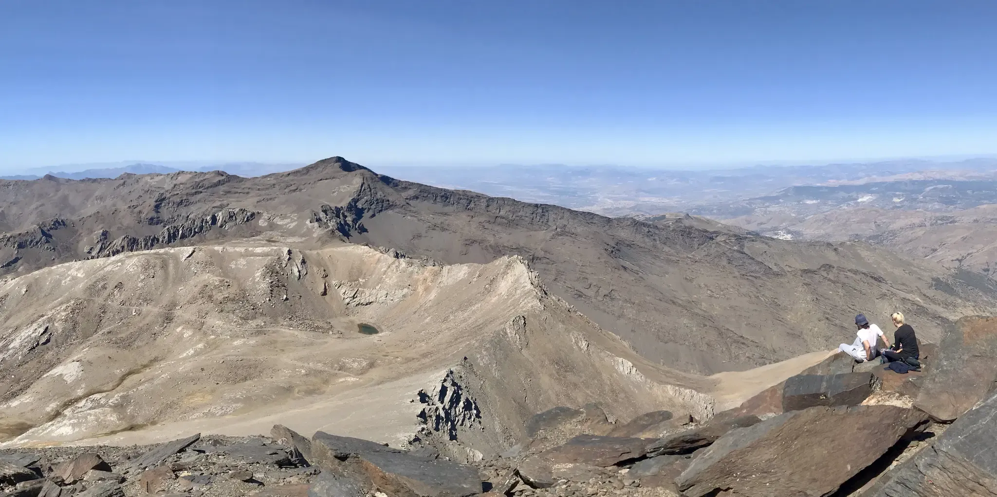
An unforgettable adventure – climb the Mulhacén’s north face in Spain
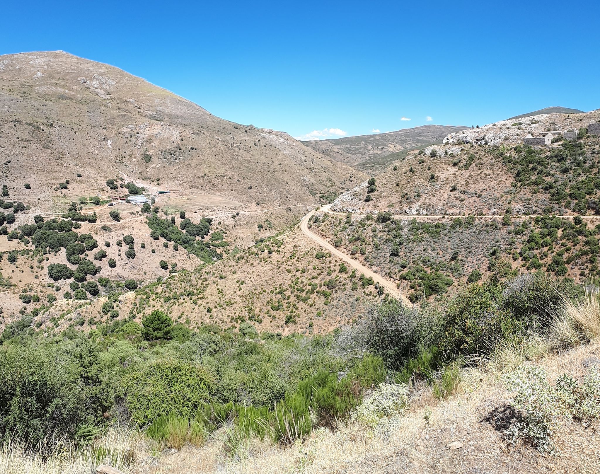
Nature and singletrack – bikepacking in Spain’s Sierra de Huétor
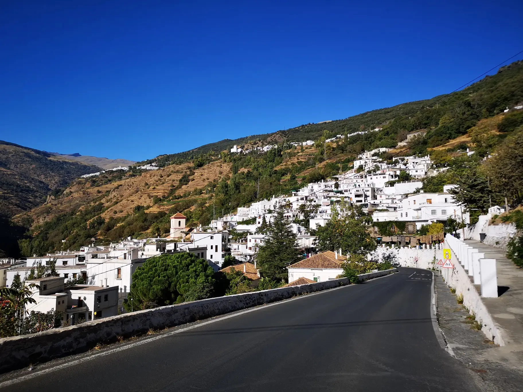
An Andalusian adventure on wheels – Transnevada
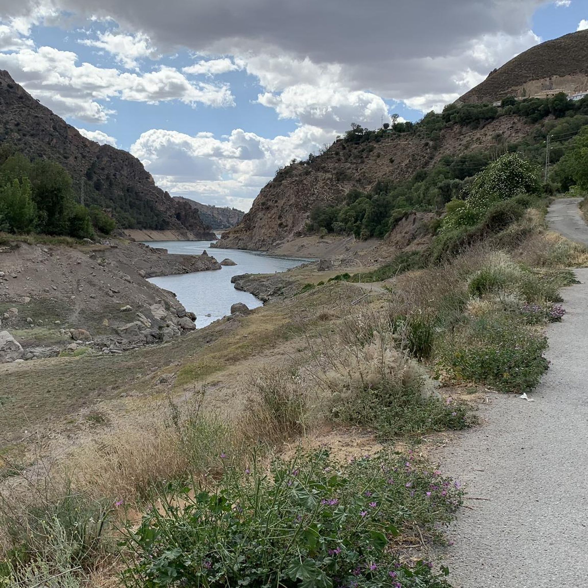
Hiking around Güejar Sierra
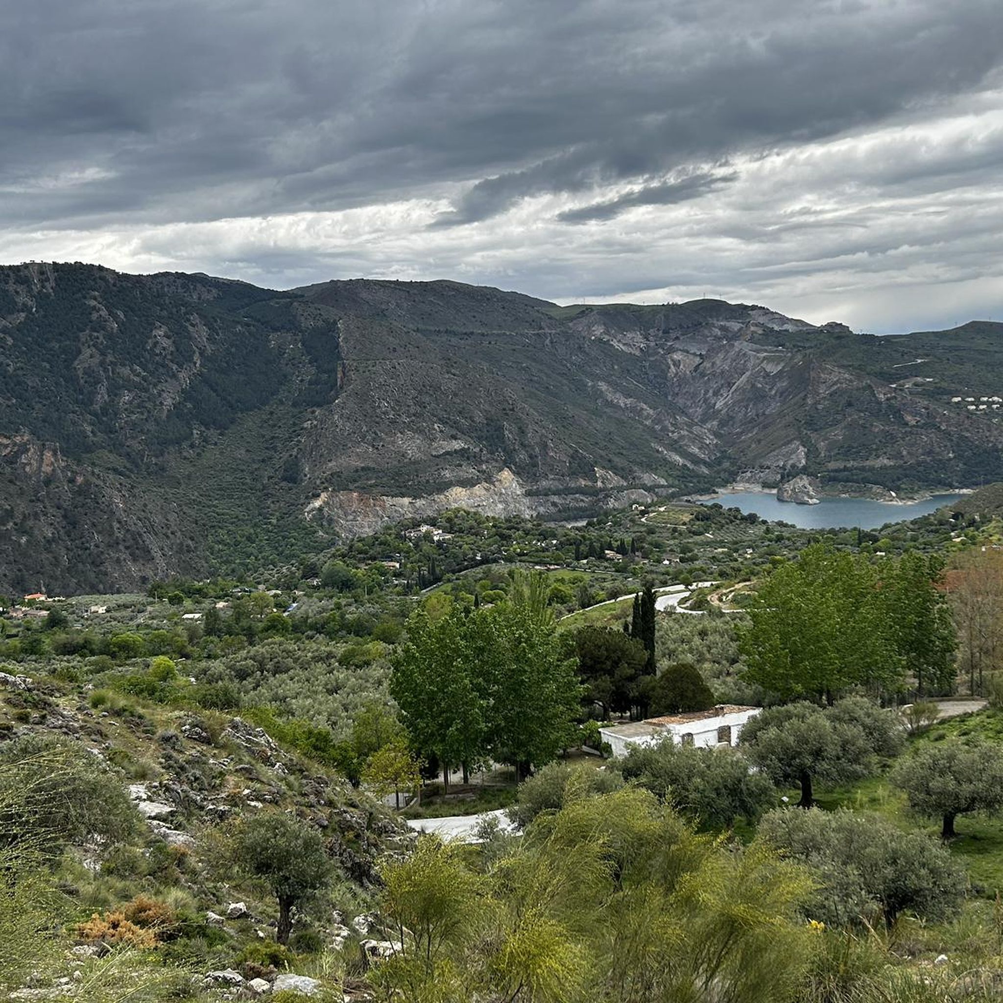
MTB Trails around Güejar Sierra
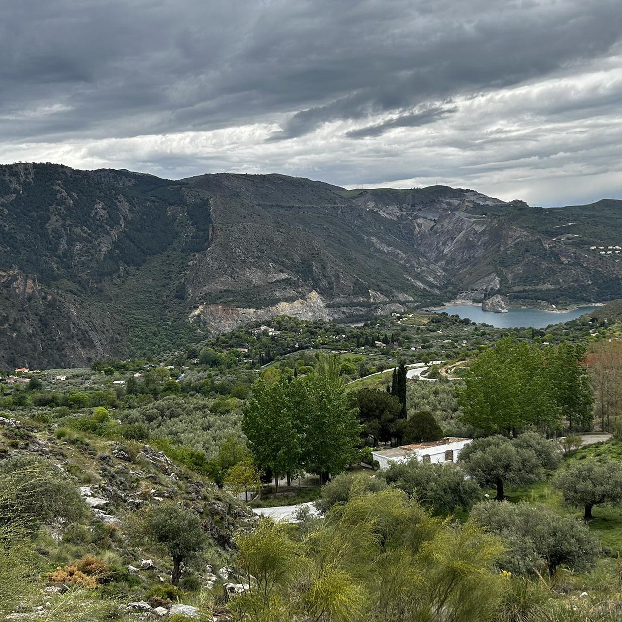
Cycling around Güejar Sierra
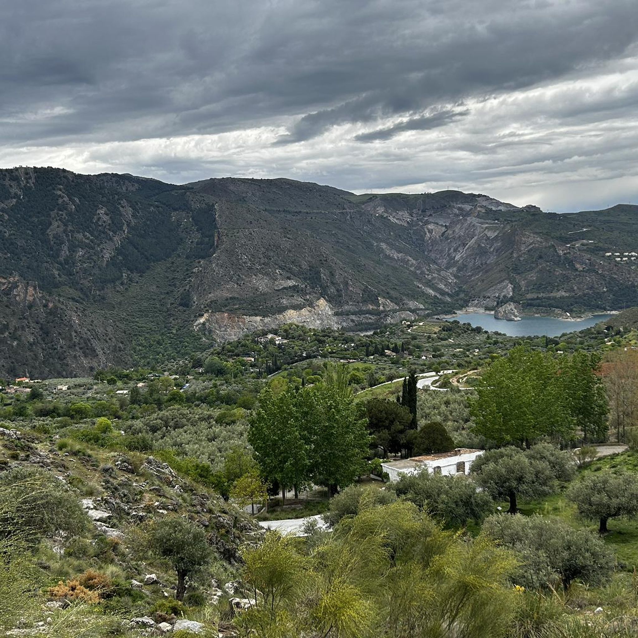
Road Cycling Routes around Güejar Sierra

Gravel biking around Güejar Sierra

Mountain Hikes around Güejar Sierra
Other adventures around Güejar Sierra


Tips from the Community

This set of several houses surrounded by a fence has a simple shelter without a chimney that can accommodate about eight people.
0
0
This quarry is an old mining site famous for extracting serpentine, a metamorphic rock highly valued in monumental architecture for its green color.
0
0

It is now restored, I hope people will be civilized and keep it clean and use it responsibly.
0
0

Geodetic Vertex of Veleta Peak.
0
1

A very beautiful, expansive hiking and biking area. Also suitable for multi-day hikes with overnight stays (tent, bikepacking, etc.). Awesome views in every direction. Plenty of free parking available. A must-see for anyone in the area.
1
1

It is a joy to arrive and see that they are carrying out a complete restoration of the shelter.
0
1

Here you still have to overcome 800 vertical meters to reach the top of the Pico Veleta. Shortly after that, cars cannot go any further and you are on the road alone!
1
0

Climbing the Veleta is especially fun in winter, when the Sierra Nevada lives up to its name and is covered in snow. However, it is then necessary to wear either snowshoes or crampons.
1
0
Frequently Asked Questions
How many running routes are available around Güejar Sierra?
There are over 15 dedicated running routes around Güejar Sierra listed on komoot, offering a wide range of experiences from moderate paths to challenging high-mountain trails.
Are there any easy or beginner-friendly jogging routes in Güejar Sierra?
While most routes in Güejar Sierra are challenging, there is at least one easy route available, and one moderate route. These offer less strenuous options for beginners or those looking for a more relaxed run through the beautiful landscape.
What kind of natural features can I expect to see on running trails in Güejar Sierra?
Jogging routes in Güejar Sierra offer diverse scenery, including rugged mountains with panoramic views of peaks like Mulhacén and Veleta, river valleys along the Genil and Maitena, and lush chestnut forests. You might also encounter unique geological formations such as the Tajo de las Palomas gorge or the serene Hondera Lagoon.
Are there any circular running routes in the area?
Yes, Güejar Sierra offers several circular running routes. A notable example is the difficult Osborne Bull – Canes Reservoir loop from Güéjar Sierra, which circles the Canales Reservoir, providing varied scenery and a substantial challenge.
What do other runners enjoy most about the trails in Güejar Sierra?
The running trails in Güejar Sierra are highly rated by the komoot community, with an average score of 4.3 stars from 9 reviews. Runners often praise the significant elevation gains, rewarding panoramic vistas, and the diverse natural environment, from high-mountain landscapes to river valleys and forests.
Can I access jogging paths in Güejar Sierra using public transport?
Güejar Sierra is conveniently located about 16 kilometers from Granada, making it accessible. While specific public transport details for trailheads aren't provided, the town itself serves as a starting point for many routes, and local transport options to the town are generally available from Granada.
Are there any running routes that pass by notable landmarks or attractions?
Many routes offer views of significant natural landmarks. For instance, the Veleta Peak – Lagoon of the Mares loop leads through high-altitude landscapes with views of the Sierra Nevada peaks. You can also find routes near the Quéntar Reservoir or the historic old tram track, which is now a popular route.
What is the best time of year for jogging in Güejar Sierra?
The region is particularly vibrant in late spring with snowmelt phenomena, offering lush meadows like those at Lavaderos de la Reina. River valleys provide cooler, shadier routes along riverbanks, which are especially pleasant during warmer months. High-altitude routes might be more accessible outside of winter.
Are there any long-distance running options available?
Yes, Güejar Sierra offers several longer routes for endurance runners. For example, the Maitena Road Tunnel – Vereda de la Estrella loop from Maitena is a challenging 22.3 km (13.9 miles) route, providing a substantial distance for a long run.
What are the typical elevation changes on running routes in Güejar Sierra?
Jogging routes around Güejar Sierra are known for significant elevation gains, as they are set within the mountainous terrain of the Sierra Nevada Natural Park. Many difficult routes feature ascents of 800-1000 meters (2600-3300 feet) or more, offering challenging climbs and rewarding descents.
Are there any routes suitable for trail running with views of the highest peaks?
Absolutely. The region provides spectacular views of the highest peaks of the Sierra Nevada, including Mulhacén, Veleta, and Alcazaba. The Hoya de la Mora - Lagunillos de la Virgen Trail is a difficult route offering high-mountain running with direct views of these majestic peaks.
Most popular routes around Güejar Sierra
Most popular attractions around Güejar Sierra

Get inspired with the komoot mobile app


Explore more
Browse the best Running Trails & Routes in other regions.
