The best gravel rides around Güejar Sierra
4.7
(46)
669
riders
31
rides
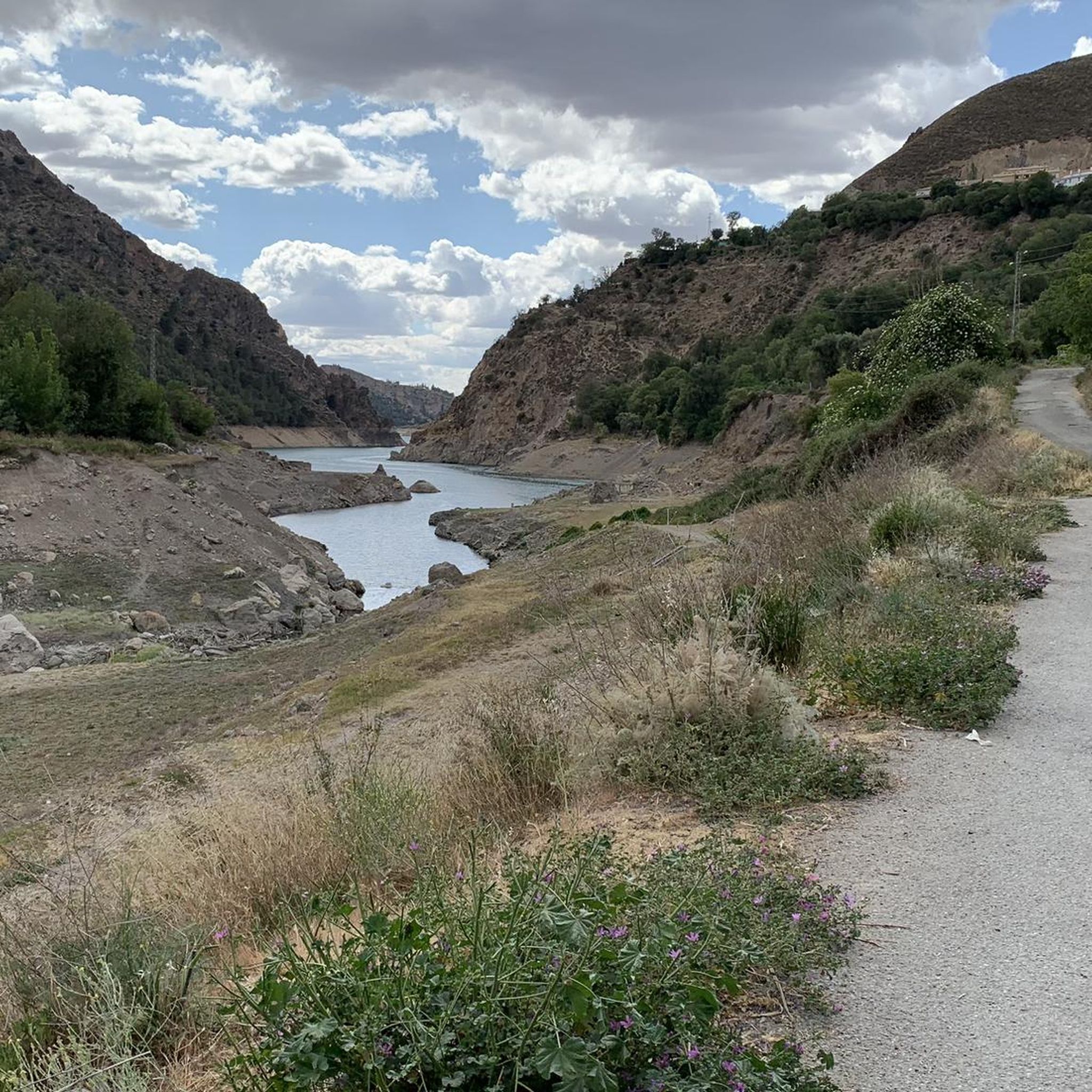
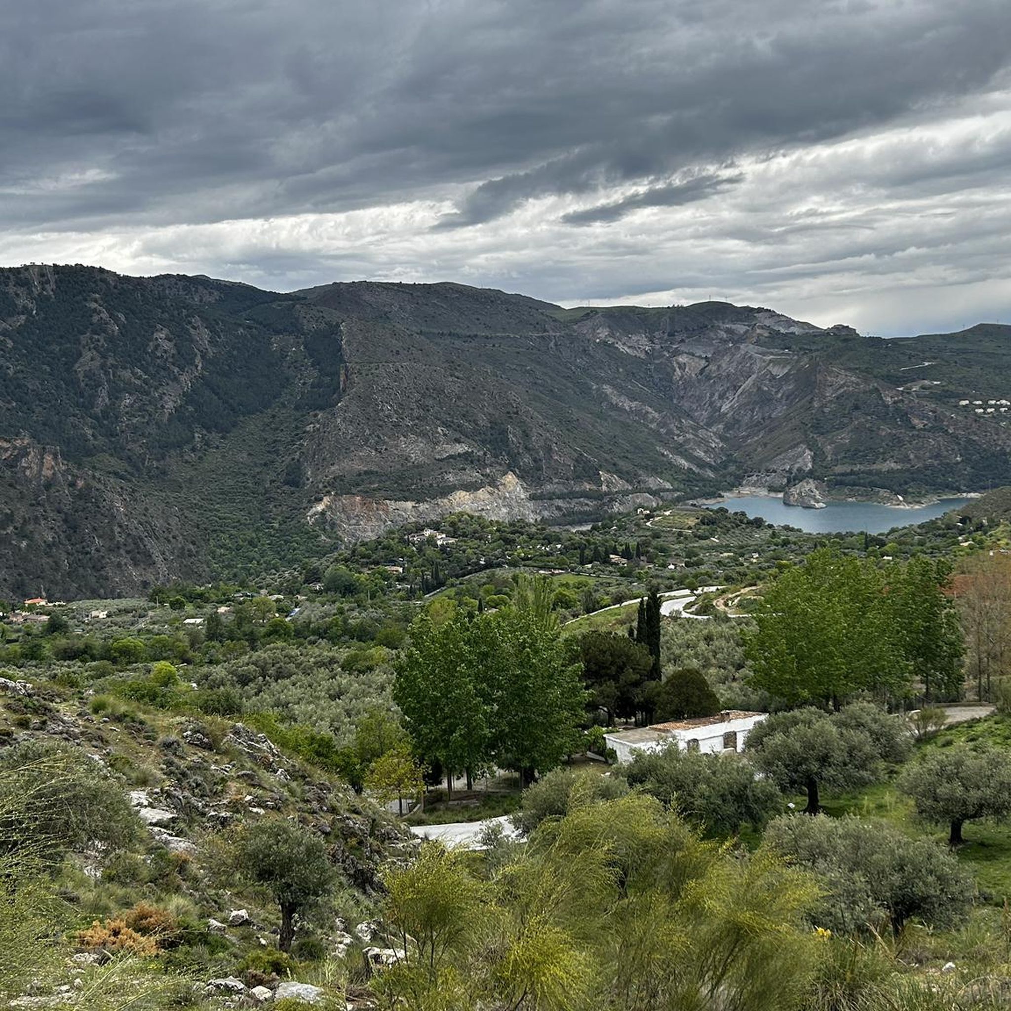
Gravel biking around Güejar Sierra offers routes through the rugged terrain of the Sierra Nevada foothills. The region is characterized by significant elevation changes, with trails often traversing mountain passes, historic mining areas, and the landscapes surrounding reservoirs like Canales and Quéntar. Riders can expect varied surfaces, from compacted dirt roads to more technical rocky sections, providing a challenging experience.
Best gravel bike trails around Güejar Sierra
- The most popular gravel bike trail is Pinos Genil village – Hoya de la Mora loop from La Zubia, a 56.8 miles (91.5 km) trail that takes 6 hours 38 minutes to complete. This difficult route ascends to high-altitude areas, offering expansive views of the surrounding peaks and valleys.
- Another top favourite among local gravel bikers is Sundial of Llano de la Perdiz – Cerro del Sol Summit loop from Cenes de la Vega, a difficult 22.0 miles (35.4 km) path. This trail features significant climbs and descents through varied mountain scenery.
- Local gravel bikers also love the Canales Reservoir – Quéntar Reservoir loop from Güéjar Sierra, a 21.4 miles (34.4 km) trail leading through reservoir-side paths and mountainous terrain, often completed in about 2 hours 44 minutes.
- Gravel biking around Güejar Sierra is defined by mountain passes, reservoir-side paths, and historic mining landscapes. The network offers options for moderate to difficult ability levels.
- The routes in Güejar Sierra are highly rated by the komoot community with an average score of 4.7 stars from over 25 reviews. More than 370 gravel bikers have used komoot to explore Güejar Sierra's varied terrain.
Last updated: November 2, 2026
5.0
(1)
11
riders
36.9km
03:44
1,250m
1,250m
Hard gravel ride. Very good fitness required. Mostly paved surfaces.
5.0
(1)
90
riders
Hard gravel ride. Very good fitness required. Mostly paved surfaces.

38
riders
67.4km
04:51
1,190m
1,190m
Hard gravel ride. Very good fitness required. Mostly paved surfaces.
4.5
(6)
54
riders
40.2km
02:40
680m
690m
Hard gravel ride. Very good fitness required. Mostly paved surfaces.
4.5
(2)
14
riders
34.4km
02:41
890m
890m
Hard gravel ride. Very good fitness required. Mostly paved surfaces.
Get access to more routes and recommendations from other explorers.
Already have an account?
Our route recommendations are based on thousands of hikes, rides, and runs completed by other people on komoot.
Start today with a free account
Your next adventure awaits.
Popular around Güejar Sierra
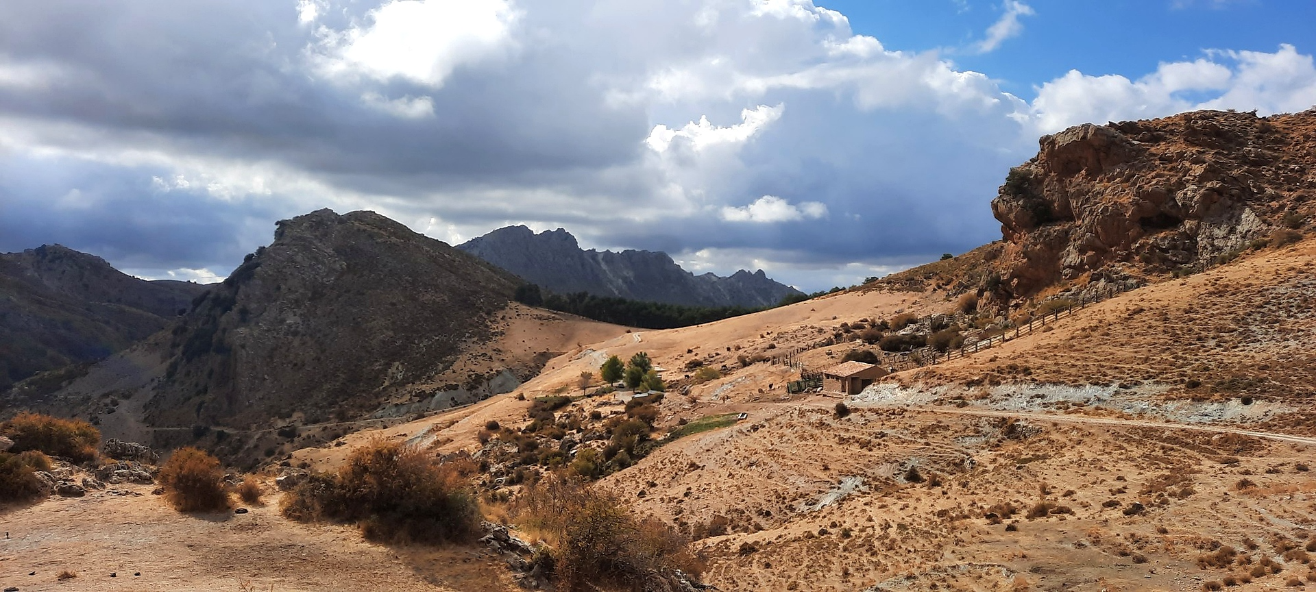
Sulayr Trail (GR 240) — 300 kilometers in the mountain of the sun
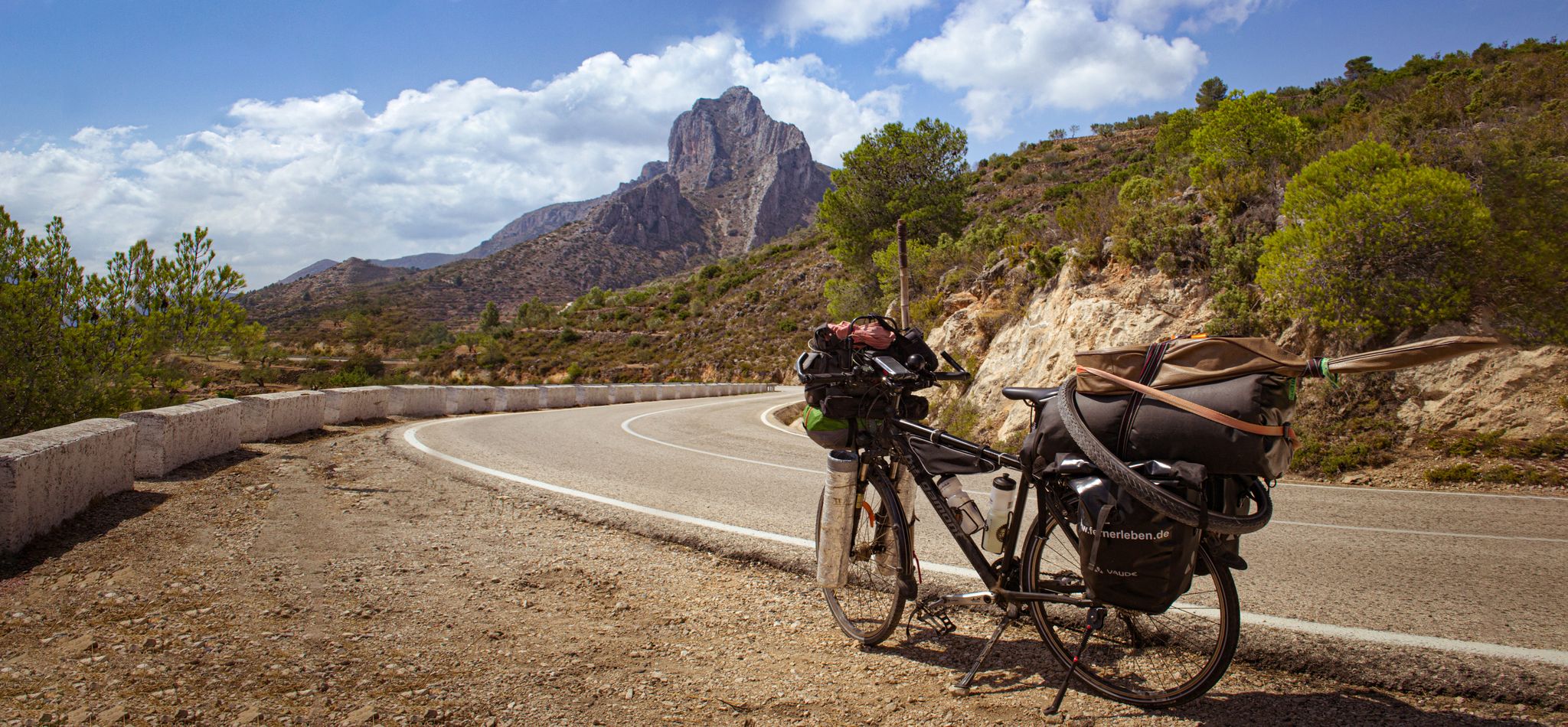
On the road to the sun — bikepacking to southeast Spain
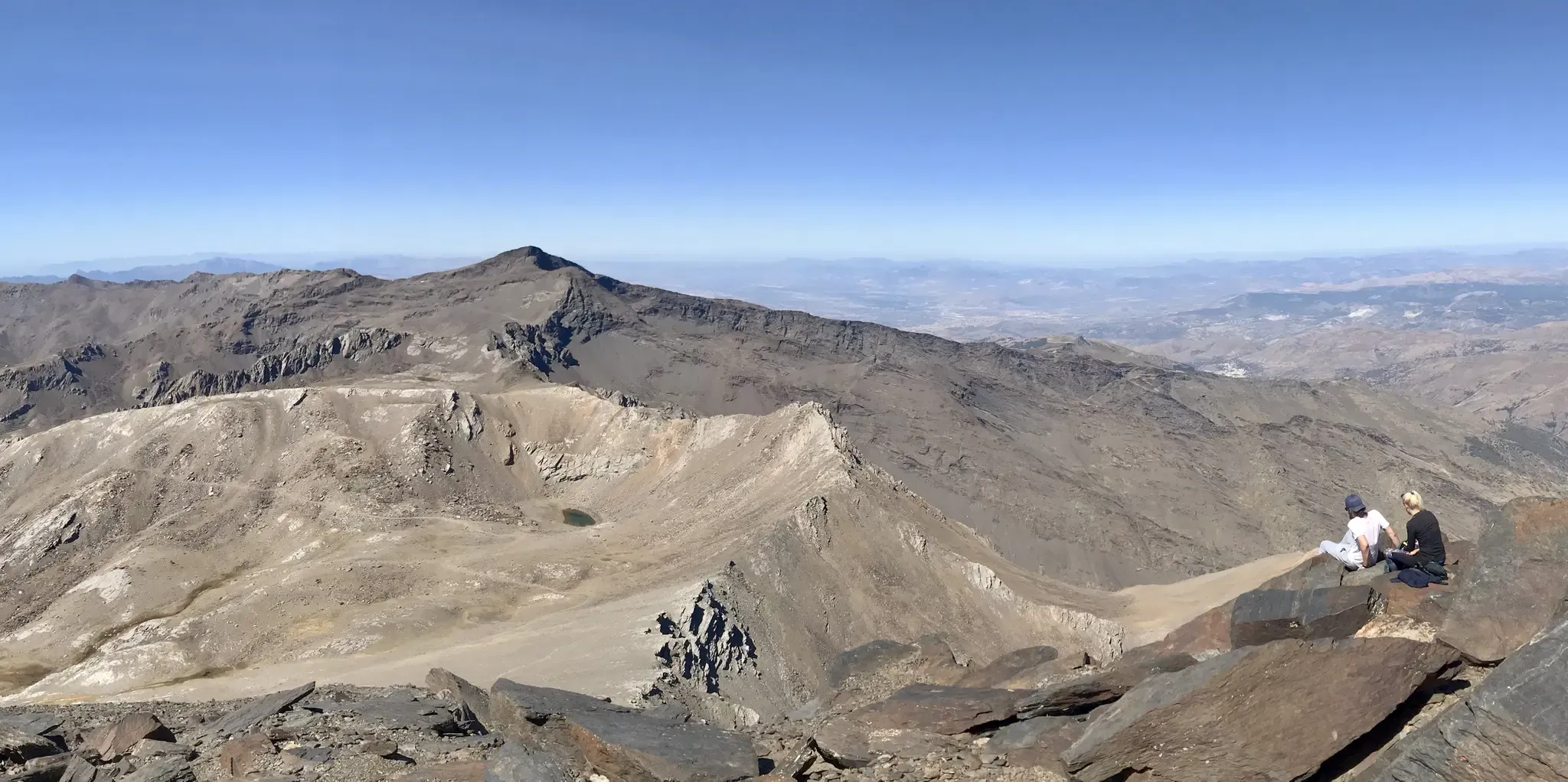
An unforgettable adventure – climb the Mulhacén’s north face in Spain
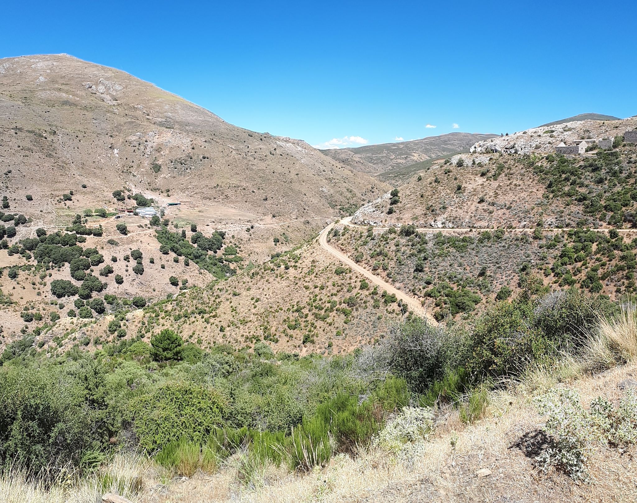
Nature and singletrack – bikepacking in Spain’s Sierra de Huétor
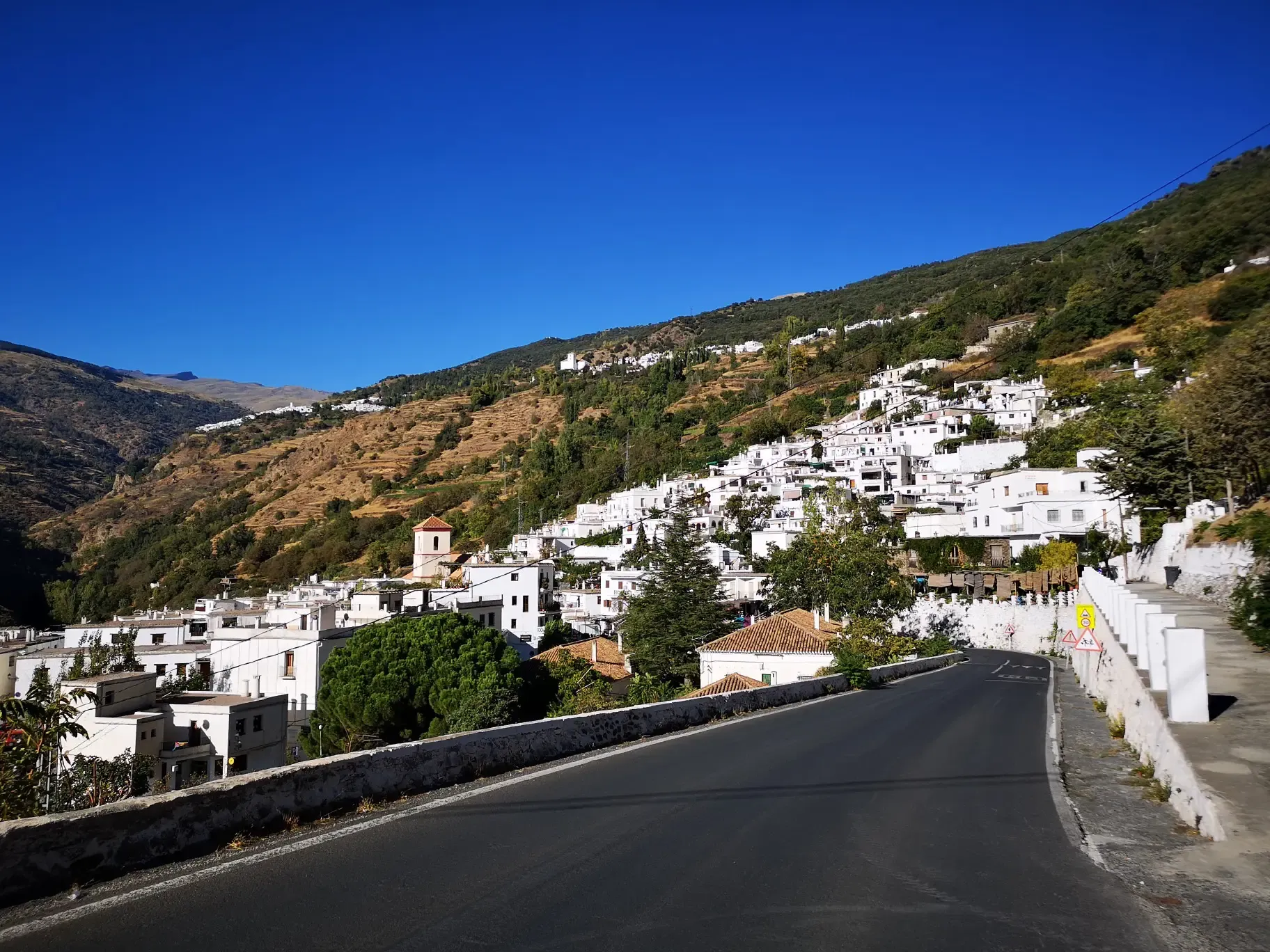
An Andalusian adventure on wheels – Transnevada
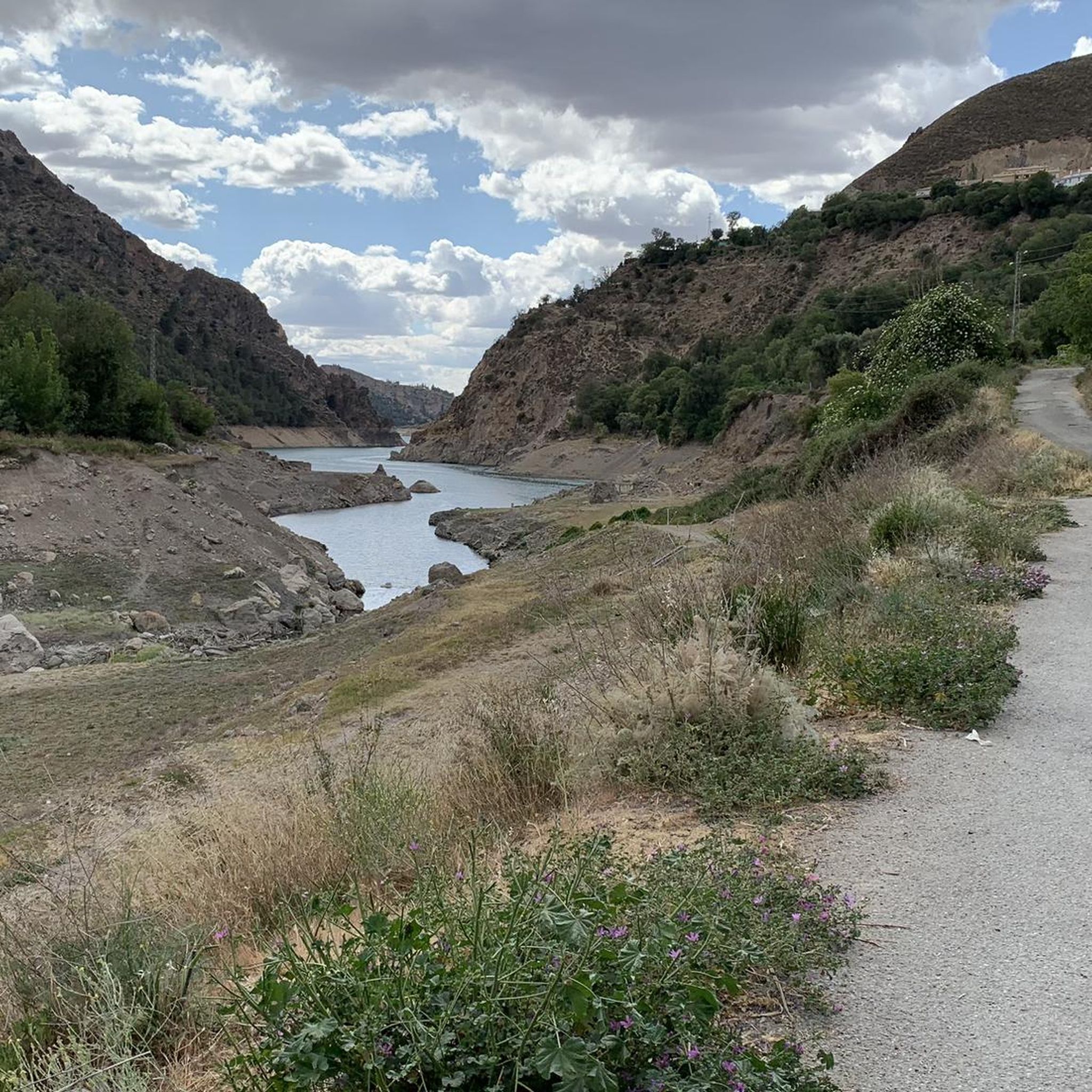
Hiking around Güejar Sierra
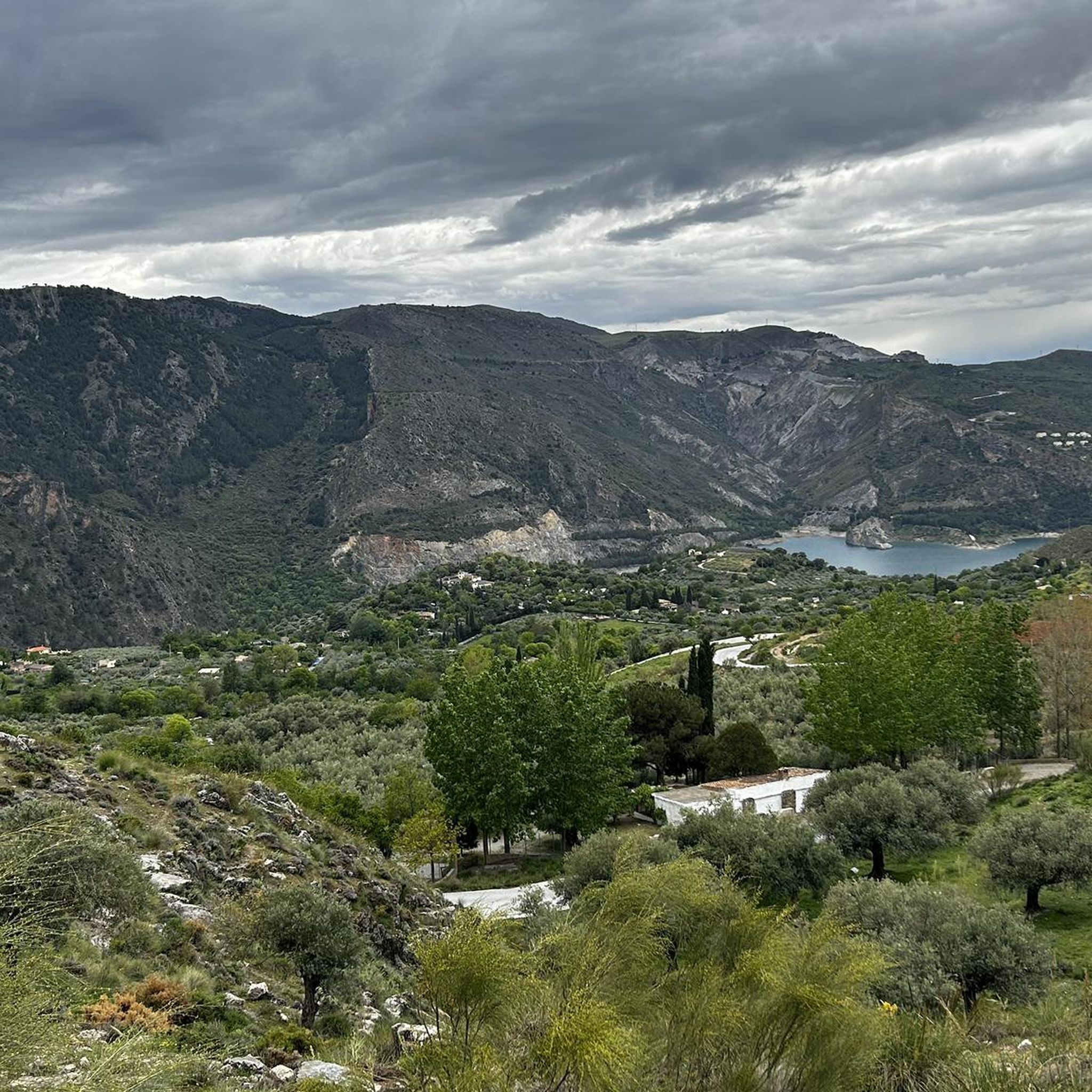
Cycling around Güejar Sierra
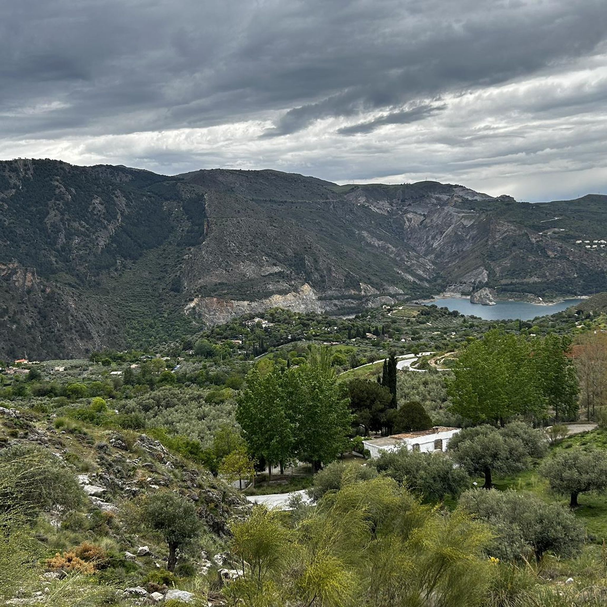
MTB Trails around Güejar Sierra
Running Trails around Güejar Sierra
Road Cycling Routes around Güejar Sierra
Other adventures around Güejar Sierra


Tips from the Community

Place to pass through to reach La Cortijuela at the foot of El Trevenque
0
0
Spectacular and unparalleled
0
0
From puente verde to pinillos, the route is beautiful and pleasant. This point was recently remodeled.
0
0

The river destroyed the bridge last winter. Currently, it is only possible to cross the ford, but it depends on the water level.
0
0

The El Purche Road, in Monachil (La Vega de Granada), is an emblematic road that connects the urban area with the Sierra Nevada National Park, well known to cyclists, hikers and lovers of panoramic views.
2
0
The Cumbres Verdes trails, in La Zubia (La Vega de Granada), are one of the most popular areas for hiking near Granada, within the Sierra Nevada Natural Park.
2
0

Stop yes or yes
1
1

Güéjar Sierra is a picturesque Granada town at the foot of the Sierra Nevada, which preserves the charm of its narrow streets and whitewashed houses. Surrounded by mountains, viewpoints, and trails.
1
0
Frequently Asked Questions
How many gravel bike trails are available around Güejar Sierra?
There are over 25 gravel bike routes around Güejar Sierra listed on komoot. These routes range from moderate to difficult, offering a variety of challenges for riders.
What is the typical difficulty level for gravel biking in Güejar Sierra?
Güejar Sierra's gravel biking routes are generally considered moderate to difficult. The region is known for significant elevation changes, traversing mountain passes and varied terrain. There are 5 moderate routes and 22 difficult routes available, so beginners should be prepared for a challenge.
Are there any family-friendly or easy gravel bike routes in Güejar Sierra?
The gravel biking routes around Güejar Sierra are primarily geared towards experienced riders, with most classified as moderate or difficult due to the significant elevation changes and varied terrain. There are no routes specifically rated as 'easy' in the current selection, so families with young children or absolute beginners might find them challenging.
What kind of terrain can I expect on gravel bike trails in Güejar Sierra?
You can expect varied surfaces, from compacted dirt roads to more technical rocky sections. Trails often traverse mountain passes, historic mining areas, and landscapes surrounding reservoirs, providing a challenging and diverse riding experience.
What are some notable landmarks or attractions I can see while gravel biking in Güejar Sierra?
While riding, you might encounter natural beauty spots like the Hondera Lagoon. The region also features impressive waterfalls such as Lavaderos de la Reina and Chorreras Negras Waterfalls. For a unique experience, consider visiting the Los Cahorros Gorge, Monachil, which includes the Hanging Bridge of Los Cahorros.
Are there circular gravel bike routes available in Güejar Sierra?
Yes, many of the gravel bike routes in Güejar Sierra are designed as loops. For example, the Aurora Mine – Santa Fe loop from Huétor Vega and the Canales Reservoir – Quéntar Reservoir loop from Güéjar Sierra are excellent circular options.
What is the best time of year for gravel biking in Güejar Sierra?
The best time for gravel biking in Güejar Sierra is typically during spring (April to June) and autumn (September to November). During these seasons, the weather is generally milder and more pleasant for cycling. Summers can be very hot, and higher altitudes may experience snow and colder temperatures in winter.
Are there any less crowded gravel bike trails in Güejar Sierra?
While popular routes like the Aurora Mine loop attract many riders, exploring some of the less-trafficked trails can offer a more secluded experience. Consider routes like the Sundial of Llano de la Perdiz – Cerro del Sol Summit loop from Cenes de la Vega for a potentially quieter ride, or check komoot for routes with fewer completed tours.
What do other gravel bikers enjoy most about the trails in Güejar Sierra?
The gravel biking routes in Güejar Sierra are highly rated by the komoot community, with an average score of 4.7 stars from over 28 reviews. Riders often praise the challenging mountain scenery, the varied terrain, and the expansive views of the surrounding peaks and valleys.
Is public transport accessible for reaching gravel bike trails in Güejar Sierra?
Public transport options to the trailheads in Güejar Sierra can be limited, especially for carrying bikes. It's advisable to check local bus schedules and routes in advance, or consider driving to a suitable starting point with parking facilities.
Are there any specific routes that ascend to high-altitude areas with expansive views?
Yes, routes like the Pinos Genil village – Hoya de la Mora loop from La Zubia are known for ascending to high-altitude areas, offering truly expansive views of the surrounding Sierra Nevada peaks and valleys.
What are the typical distances and elevation gains for gravel bike routes in Güejar Sierra?
Gravel bike routes in Güejar Sierra vary significantly. Distances typically range from around 35 km (22 miles) to over 90 km (56 miles). Elevation gains can be substantial, with many routes featuring over 1000 meters (3,280 feet) of climbing, such as the Pinos Genil village – Hoya de la Mora loop from Cenes de la Vega which has over 1800 meters of ascent.
Most popular routes around Güejar Sierra
Most popular attractions around Güejar Sierra

Get inspired with the komoot mobile app


Explore more
Browse the best Gravel rides in other regions.
